Hiking the Roof Trail in Jewel Cave National Monument in the Black Hills, South Dakota
Distance: 0.4 miles / 0.6 km
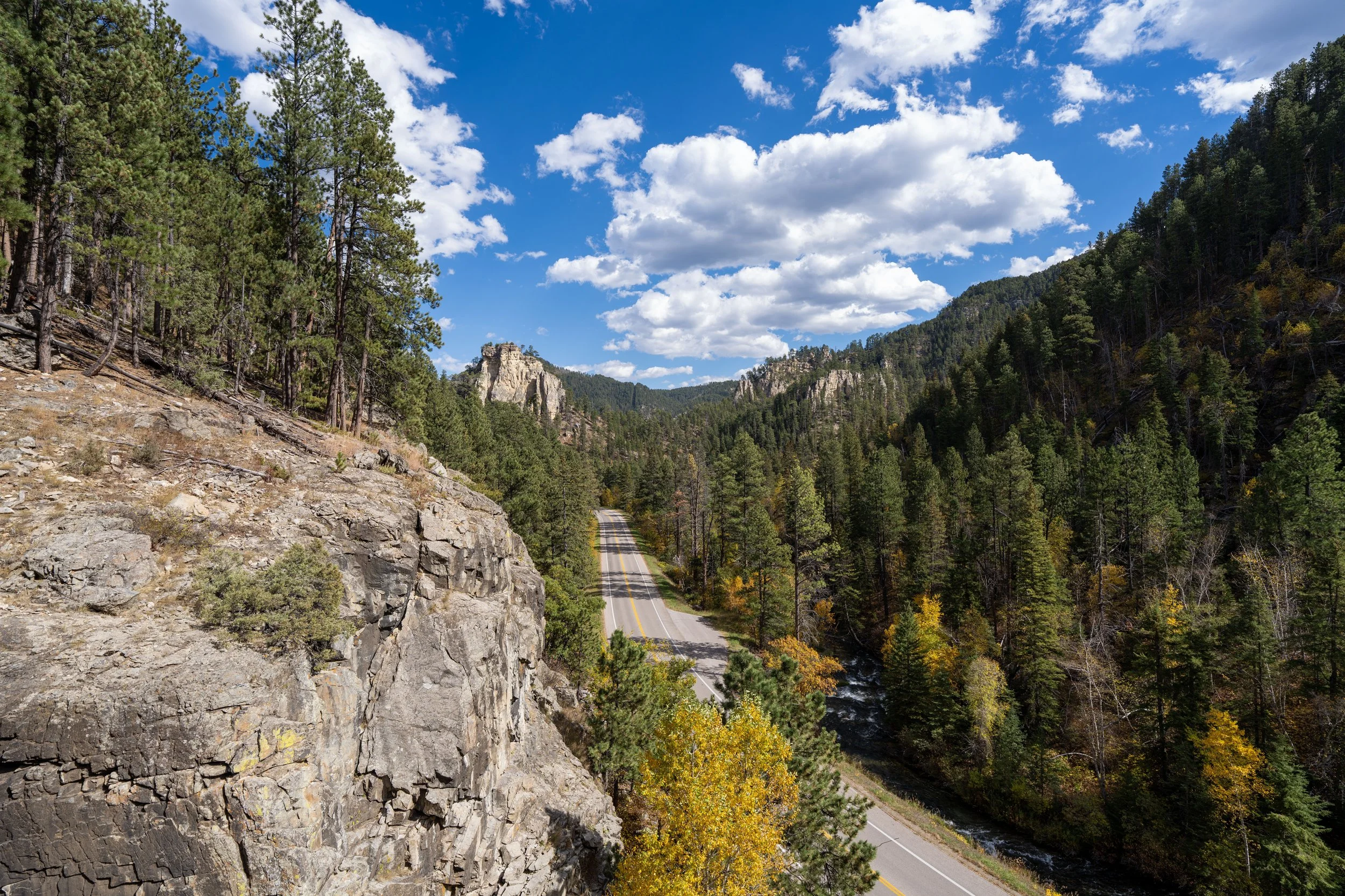
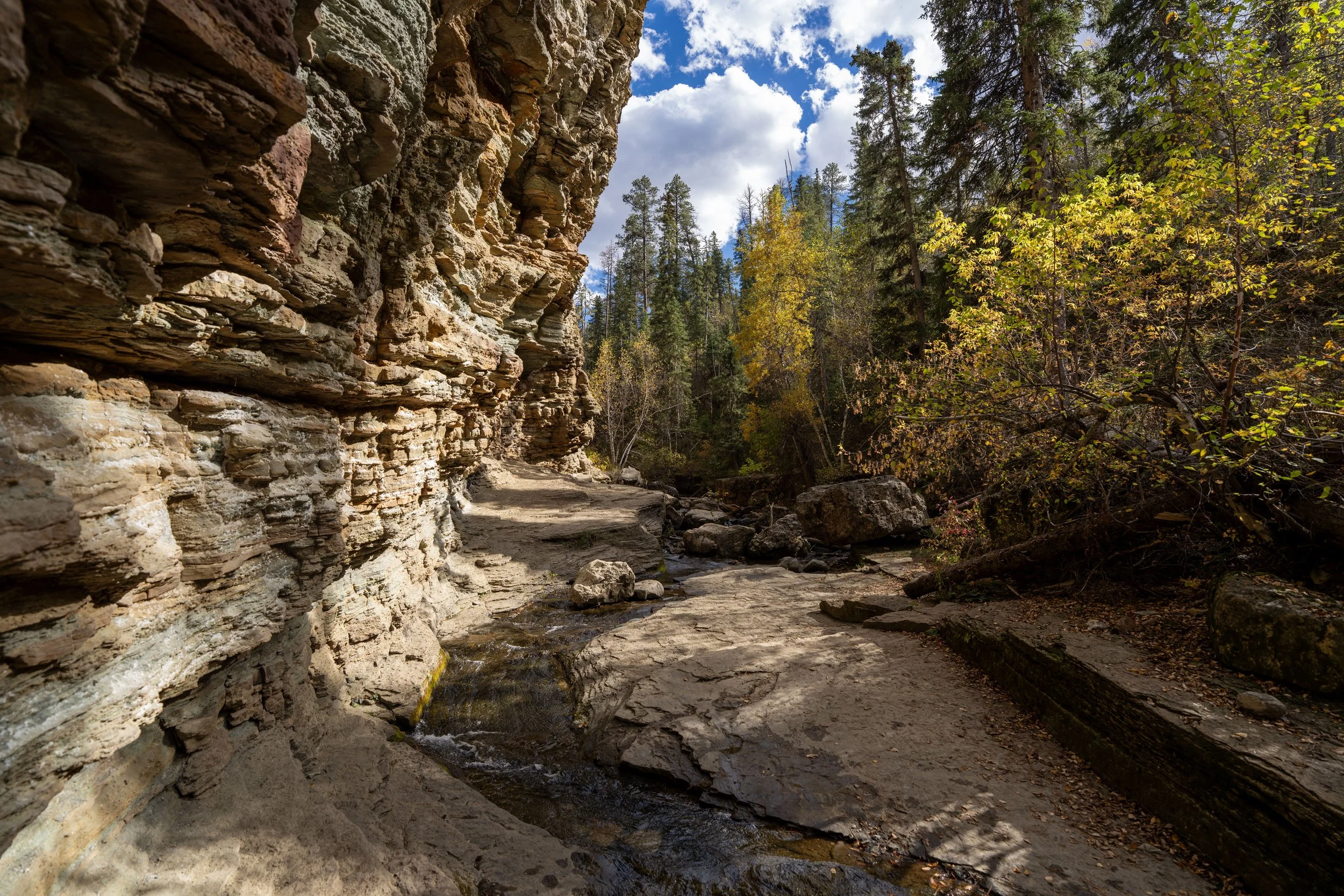
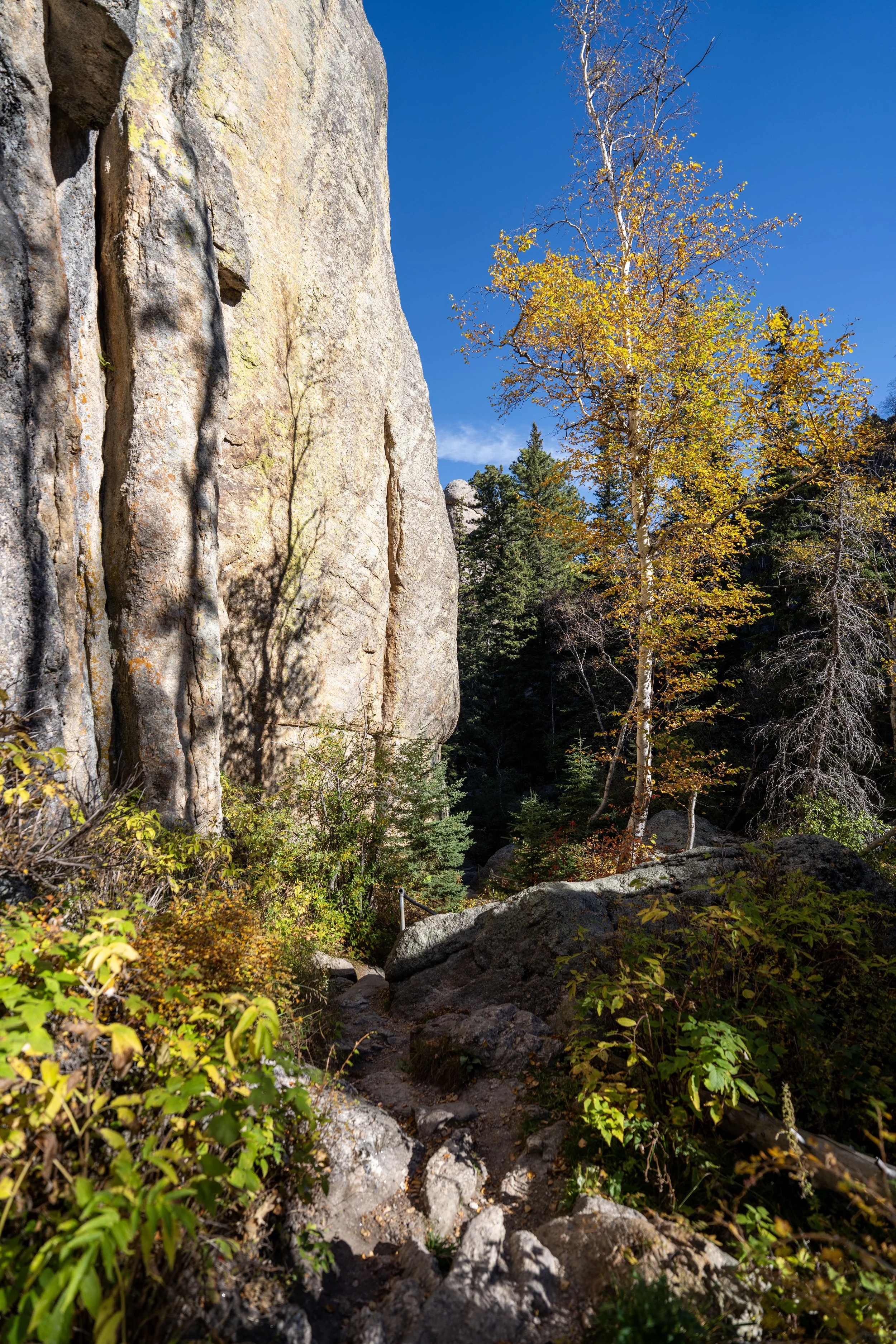
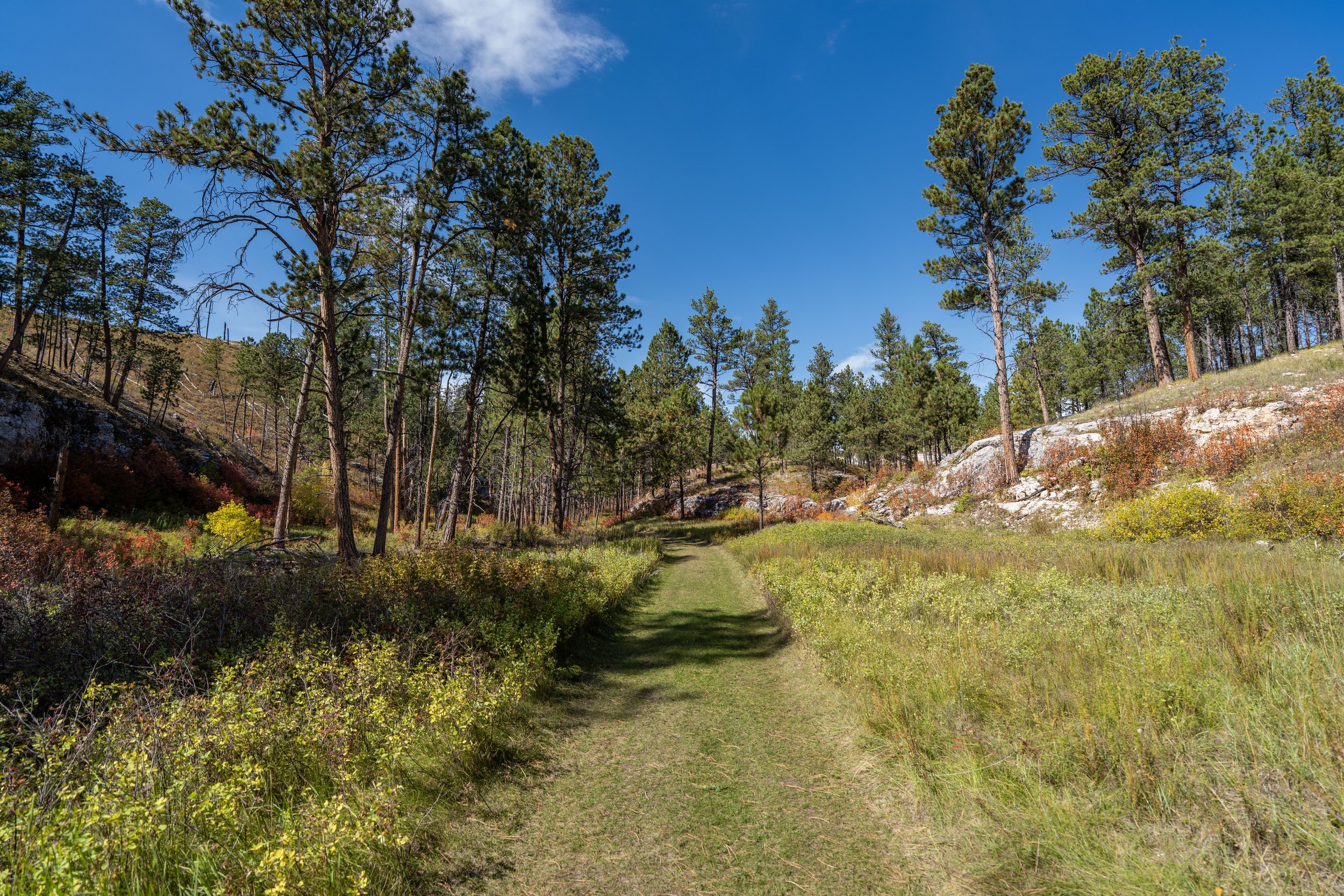
The Roof Trail, also called the Roof Loop Trail, in Jewel Cave National Monument in the Black Hills of South Dakota is a short and easy day hike near the Jewel Cave Visitor Center that winds through the beautiful Ponderosa forests atop the vast network of caves underground.
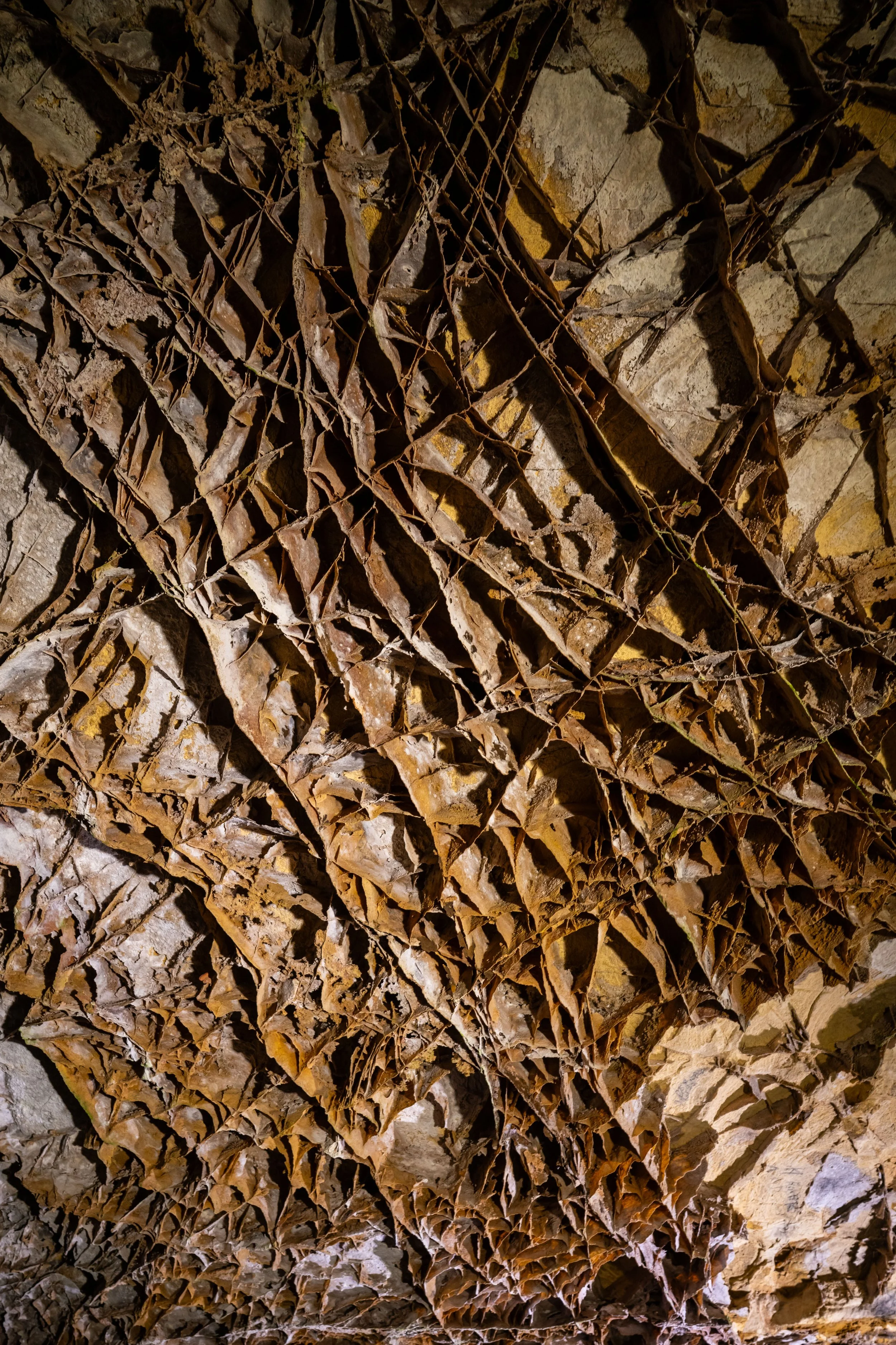
This is why the Roof Trail is so aptly named, as the loop quite literally traverses the roof of the vast cave network that spans more than 200 miles (322 km) of passages beneath the visitor center and the surrounding area.
On a different note, the Roof Trail is the best thing to do in Jewel Cave National Monument when you’re looking for something quick to do, but don’t have the time to commit to the longer Canyons Trail before a scheduled cave tour.
Roof Trailhead Parking
Parking for the Roof Trail is located at the Jewel Cave Visitor Center, the same place where the Scenic Cave Tours depart.
That said, there is no fee to drive in and visit Jewel Cave or hike the trails, as fees only apply to reservations made for the guided cave tours offered at the National Monument.
Google Maps Directions: Roof Trailhead
Hiking Checklist - Jewel Cave
According to the National Park Service, encounters with Black Bears are incredibly rare at Jewel Cave.
That said, here is a complete list of must-have things that you will want for any hike in Jewel Cave National Monument.
Hiking the Roof Trail
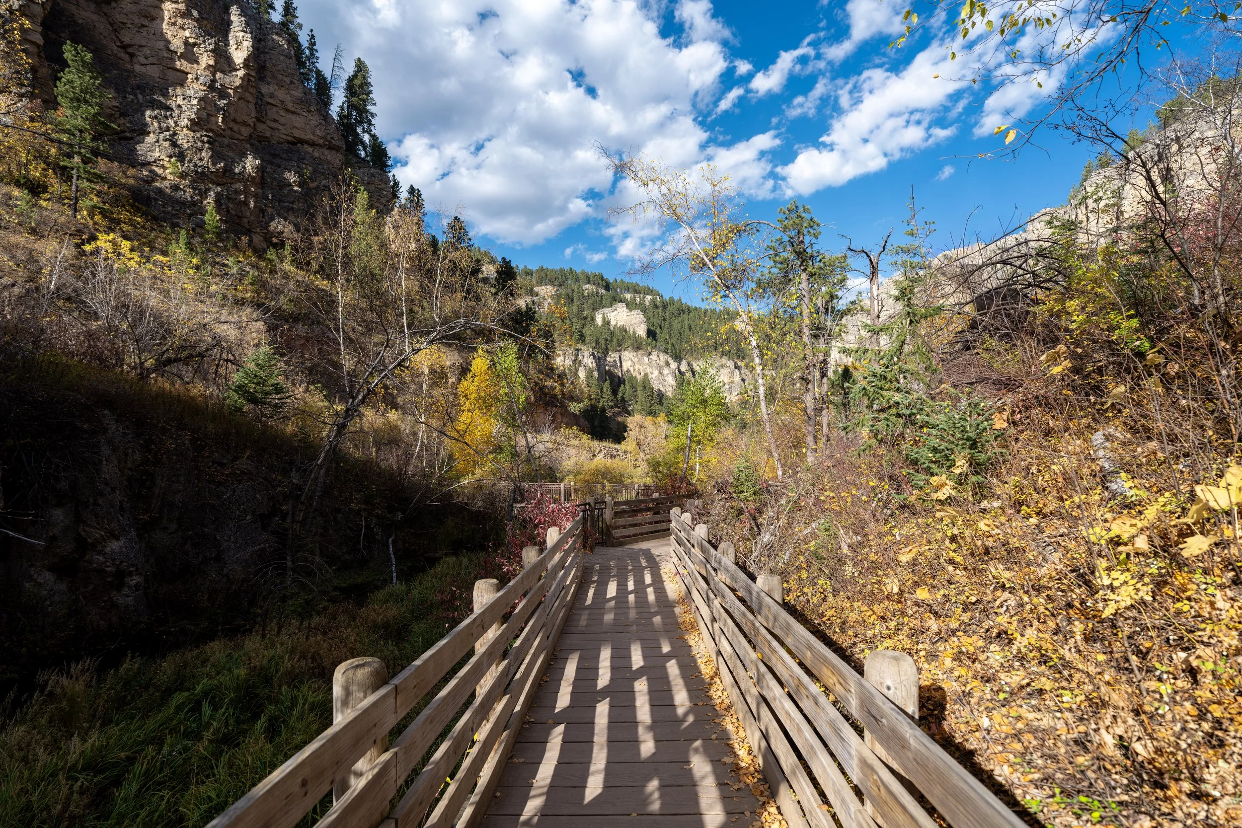
The Roof Trail begins at the Jewel Cave Visitor Center, where two trailheads for both directions can be found on either side of the building.
That said, this article follows the loop in the clockwise direction.
Roof Trailhead
This is the left (south) side of the visitor center where the trailhead that serves both the Roof Trail and the Canyons Trail can be found.
Over the entire 0.4-mile (0.6 km) loop, the Roof Trail traverses only quick, minor hills, making it a great adventure for people of all ages.
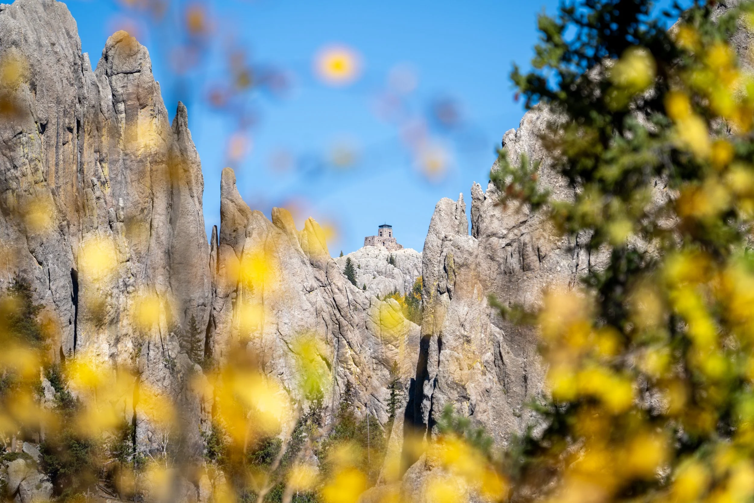
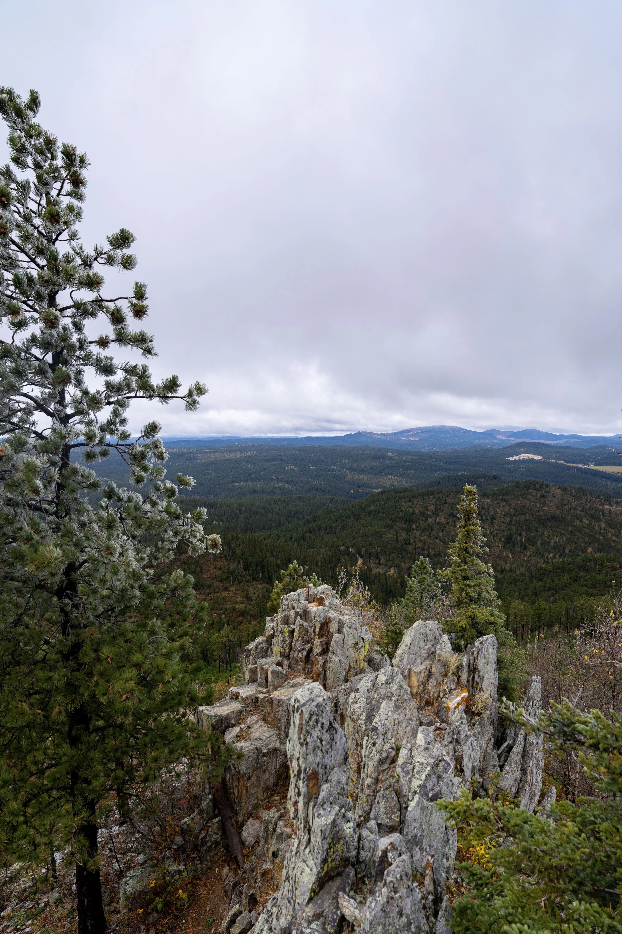
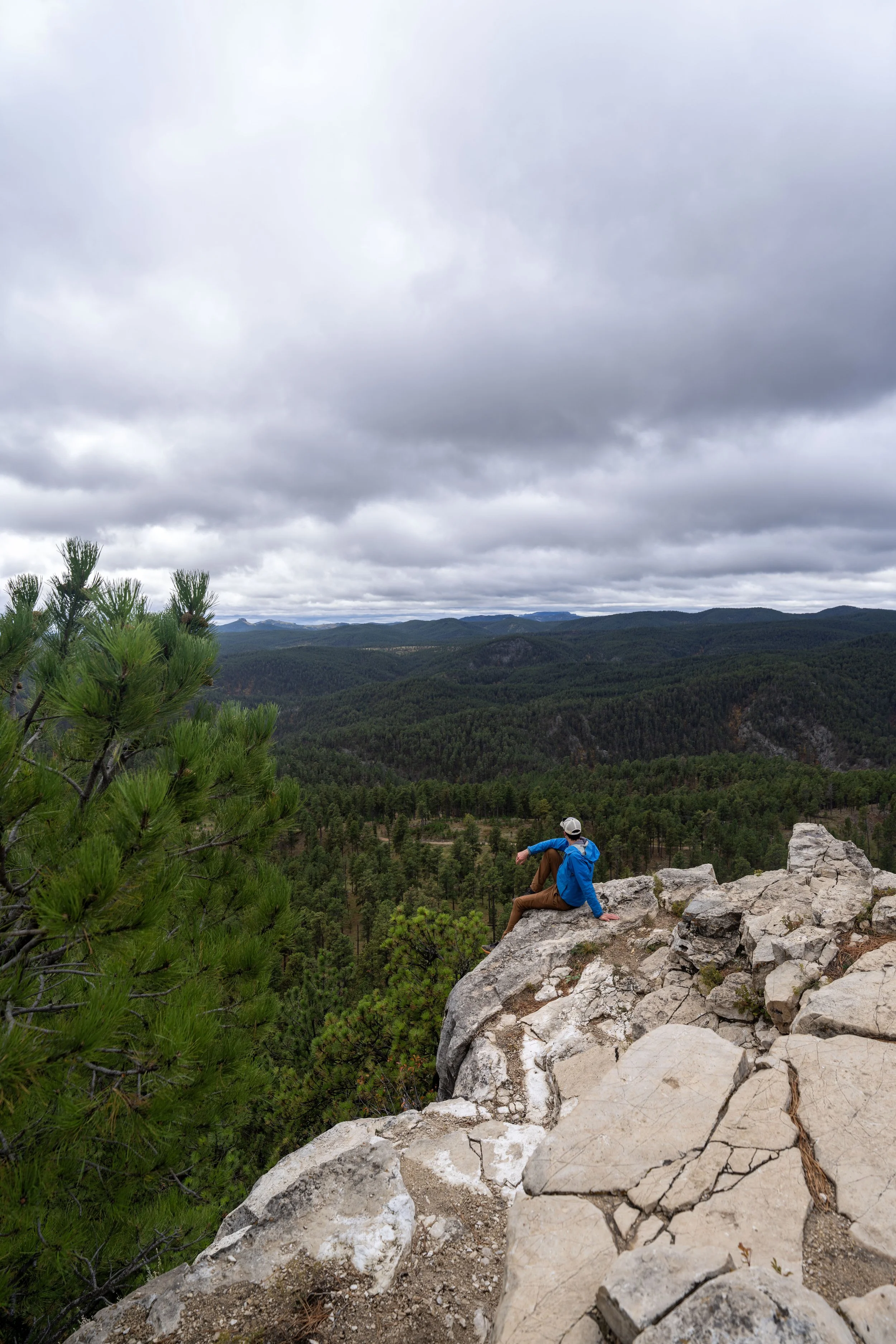
This southwest-facing viewpoint is the main overlook on the Roof Trail, as the rest of the short loop simply winds its way back through the Ponderosa forest to the visitor center.
South Roof-Canyons Junction
This is where the Canyons Trail leaves the Roof Trail and the Jewel Cave Visitor Center area behind to begin heading down to Lithograph Canyon.
However, to stay on the short Roof Trail and return to the visitor center, go straight at this junction.
Read My Separate Post: Canyons Trail
After the first Canyons Trail junction, the Roof Trail simply continues to the north side of the loop, where the Canyons Trail from the Natural Jewel Cave Entrance and Hells Canyon beyond return to the visitor center area.
Roof-Sewage Ponds Junction
The next junction on the Roof Trail is nothing more than a service road that leads to a number of sewage ponds between this point and the Canyons Trail at the mouth of Hells Canyon.
From here, go right to continue hiking around the Roof Trail to return to the Jewel Cave Visitor Center.
North Roof-Canyons Junction
With about 0.1 miles (0.2 km) left before the loop returns to the visitor center, the Roof Trail once again meets the Canyons Trail, where the two continue as one for the remainder of the hike.
That said, go right at this split to continue hiking back to the trailhead at the Jewel Cave National Monument Visitor Center.
Read My Separate Post: Canyons Trail
Roof-Jewel Cave Visitor Center Junction
At this final junction, there’s either the option to go straight, returning on the most direct route to the visitor center parking lot, or to turn right and continue on the Roof Trail to the Jewel Cave Visitor Center.
I chose to go right toward the visitor center to begin my scheduled cave tour.
Jewel Cave National Monument Visitor Center
This is where the Roof Trail returns to the opposite side of the Jewel Cave Visitor Center from where this article began.
South Dakota


Wyoming