Hiking the Sacred Rim Trail in Pinedale, Wyoming
Distance: 3.7 miles / 6.0 km
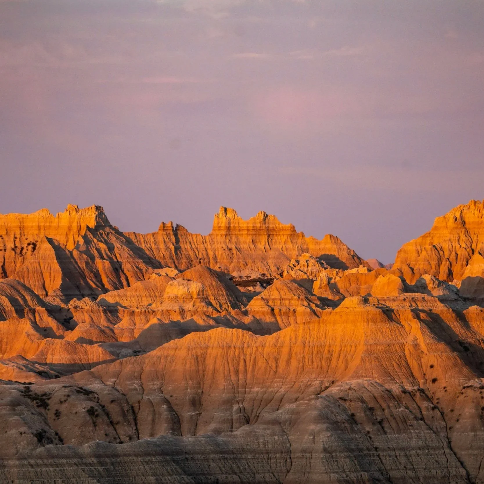
The Sacred Rim Trail in the Wind River Range of northwestern Wyoming is arguably the best day hike across the entire 80-mile (129 km) mountain range, and it’s easily one of the best adventures outside of both Yellowstone and Grand Teton National Park—especially at sunset!
Yes, sunset is without a doubt the most beautiful time of day to hike the Sacred Rim Trail, as the high peaks of the Wind River Range light up in the distance as the light begins to fade!
However, one can’t talk about the Wind River Range without mentioning the mosquitoes—meaning the Winds are notorious for having some of the worst mosquito conditions in all of Wyoming. I don’t say this to let this one detail deter anyone from visiting this hidden gem, but to encourage all to come prepared, as a good mosquito net is essential for this and countless Wyoming adventures.
Elkhart Trailhead Parking
Parking for the Sacred Rim Trail (Elkhart Trailhead) is located near the end of Skyline Drive, about a half-hour drive from Pinedale down below.
From experience, I have seen the Elkhart Trailhead nearly empty of all cars or as packed as you see here at the end of July during the most popular backpacking season. That said, I took these photos when it was the best time of the year to climb Gannett Peak.
Google Maps Directions: Elkhart Trailhead
Hiking Checklist - Wind River Range
Here is a complete list of must-have things that you will want for any hike in the Wind River Range.
Hiking the Sacred Rim Trail
Beginning from the Elkhart Trailhead, the hike to Sacred Rim is fairly easy, as there’s only about 600 ft. (183 m) of elevation to gain over the course of 1.8 miles (2.9 km).
The trail aside, the most challenging part about the hike is the mosquitoes during the summer, meaning that you’ll want to hike in long sleeves and pants because of how bad they can be.
In any case, go left at the initial trailhead junction for the Pole Creek Trail and Sacred Rim.
Sacred Rim Junction
There is only one important turn to look out for on the entire hike, which is this unmarked split you see in the photo below.
Here, go left to continue hiking toward Sacred Rim. If you miss the turn, the trail to the right will lead deep into the Bridger Wilderness and not connect with Sacred Rim in any way.
After the split, the trail will continue through the Lodgepole forest, gaining elevation gradually on the way out to Sacred Rim.
Furthermore, I said that this trail was fairly easy in the beginning because the elevation gain is not very significant over this distance.
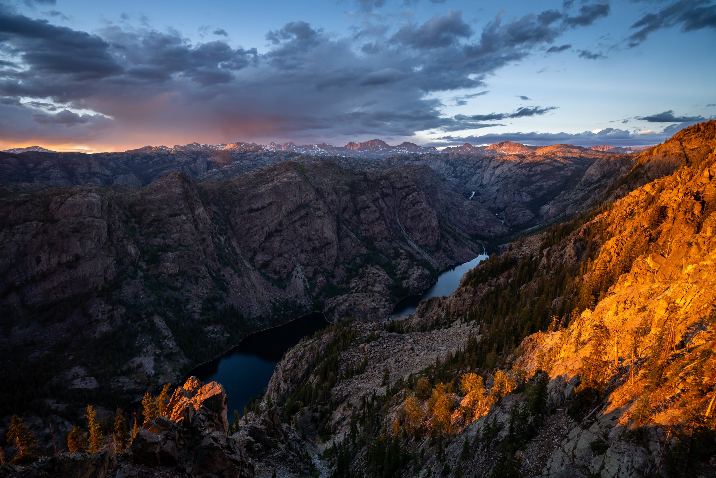
Sacred Rim
At the end of the trail, Sacred Rim opens up to this beautiful and dramatic drop-off, overlooking the Wind River Range to the east!
Overall, Sacred Rim is one of those hikes where you have no idea how amazing it’s going to be until you’re at the very end. With that in mind, the views of the Wind River Range are pretty spectacular, especially if you catch them on a clear sunset like we did.
My Print - Sacred Rim Sunset
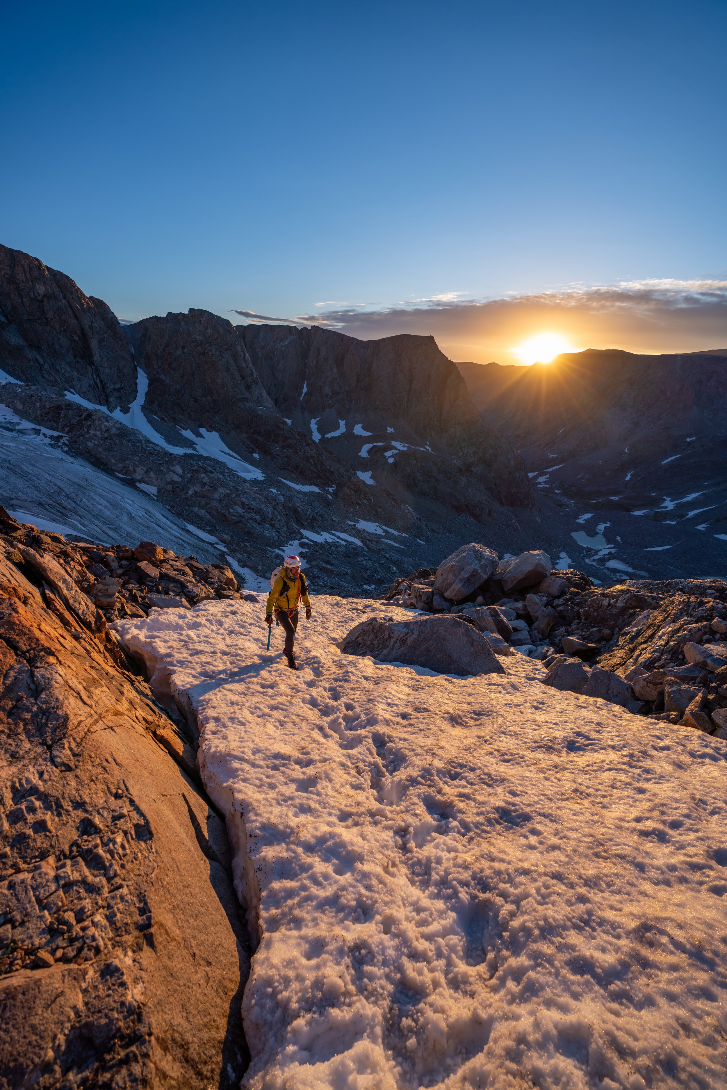
Gannett Peak
It is my understanding that you can’t see Gannett Peak, the tallest peak in Wyoming, from the Sacred Rim viewpoint. In the future, I’ll have to go back and look for it after having climbed the peak in 2023.
That said, if you’re curious about what it takes to climb the hardest highpoint in the lower 48, I encourage you to check out my separate article, as one of the more common approaches up Gannett begins from the same Elkhart Trailhead as Sacred Rim.
Read My Separate Post: Gannett Peak (Titcomb Basin)