Hiking the Joyner Ridge Trail in Devils Tower National Monument, Wyoming
Distance: 1.5 miles / 2.4 km
The Joyner Ridge Trail in Devils Tower National Monument is a short and relatively easy loop trail along the north side of Devils Tower that leads hikers to a beautiful panoramic viewpoint of the tower and the surrounding landscape!
That said, I believe the Joyner Ridge Trail is the best hidden gem at Devils Tower, as most who visit the monument only hike the short 1.8-mile (2.9 km) Tower Trail and nothing else.
For this reason, the Joyner Ridge Loop one of the quieter, more secluded areas at Devils Tower—not to mention, the overlook is the best place to catch sunrise on all sides of Devils Tower!
Joyner Ridge Trailhead Parking
Parking for the Joyner Ridge Trail is located in a small dirt parking area just off the main park road, about 0.8 miles (1.3 km) down the hill from the visitor center and the popular Tower Trailhead.
Google Maps Directions: Joyner Ridge Trailhead
Hiking Checklist - Devils Tower
According to the National Park Service, encounters with Black Bears are incredibly rare at Devils Tower.
That said, here is a complete list of must-have things that you will want for any hike in Devils Tower National Monument.
Hiking the Joyner Ridge Trail
North Joyner Ridge Trailhead
The Joyner Ridge Trail can begin on one of two paths.
First, there is the path on the left (north) that begins by climbing up Joyner Ridge, and second, the path on the right (south) begins by heading down through the valley.
Given these options, I chose to begin on the ridge, which is the route most hikers take, as it’s the most direct and easiest way to reach the overlook, about 0.7 miles (1.1 km) into the hike.
This first hill is about as steep as the Joyner Ridge Trail gets before the switchbacks that follow the overlook.
These are prayer bundles, and they can commonly be seen on the Ponderosa Pines and Aspens throughout Devils Tower.
That said, visitors are asked not to touch or disturb them.
After the initial hill, the Joyner Ridge Trail simply traverses a few easy, rolling hills as it makes its way out to the beautiful overlook on the east side of the loop.
The one thing to note about any Ponderosa Pine forest is that they are not known for providing the best shade.
This is why I recommend hiking the Joyner Ridge Trail in a hooded sun shirt, which is especially important for staying safe on all day hikes in the high desert.
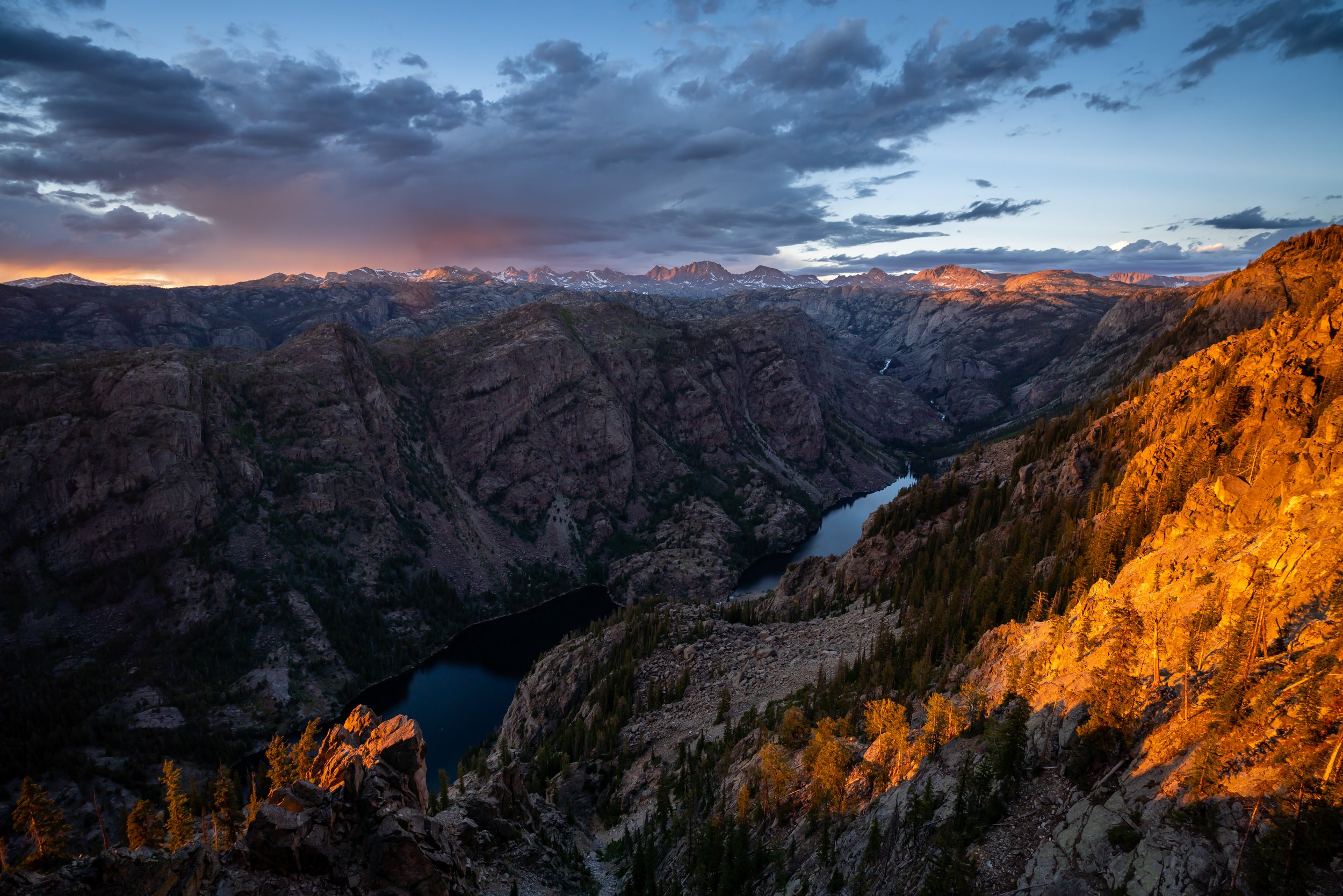
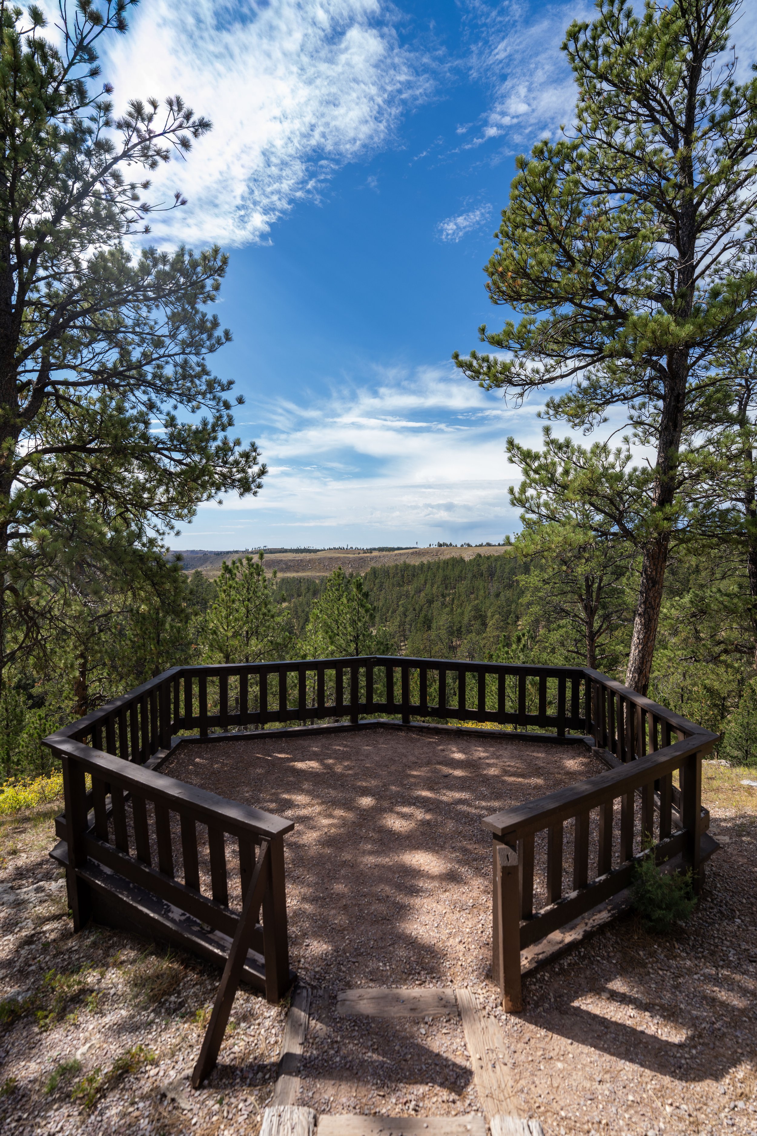
Joyner Ridge Overlook
Just before the loop begins the switchbacks that descend off Joyner Ridge, the trail reaches a split that leads out to the best overlook of Devils Tower on the entire hike.
Once here, go right to walk out to the beautiful overlook just a few steps ahead!
This is where I recommend catching sunrise in Devils Tower, as the first light hitting the east side of the tower is truly something to see—especially when there is some snow on the ground!
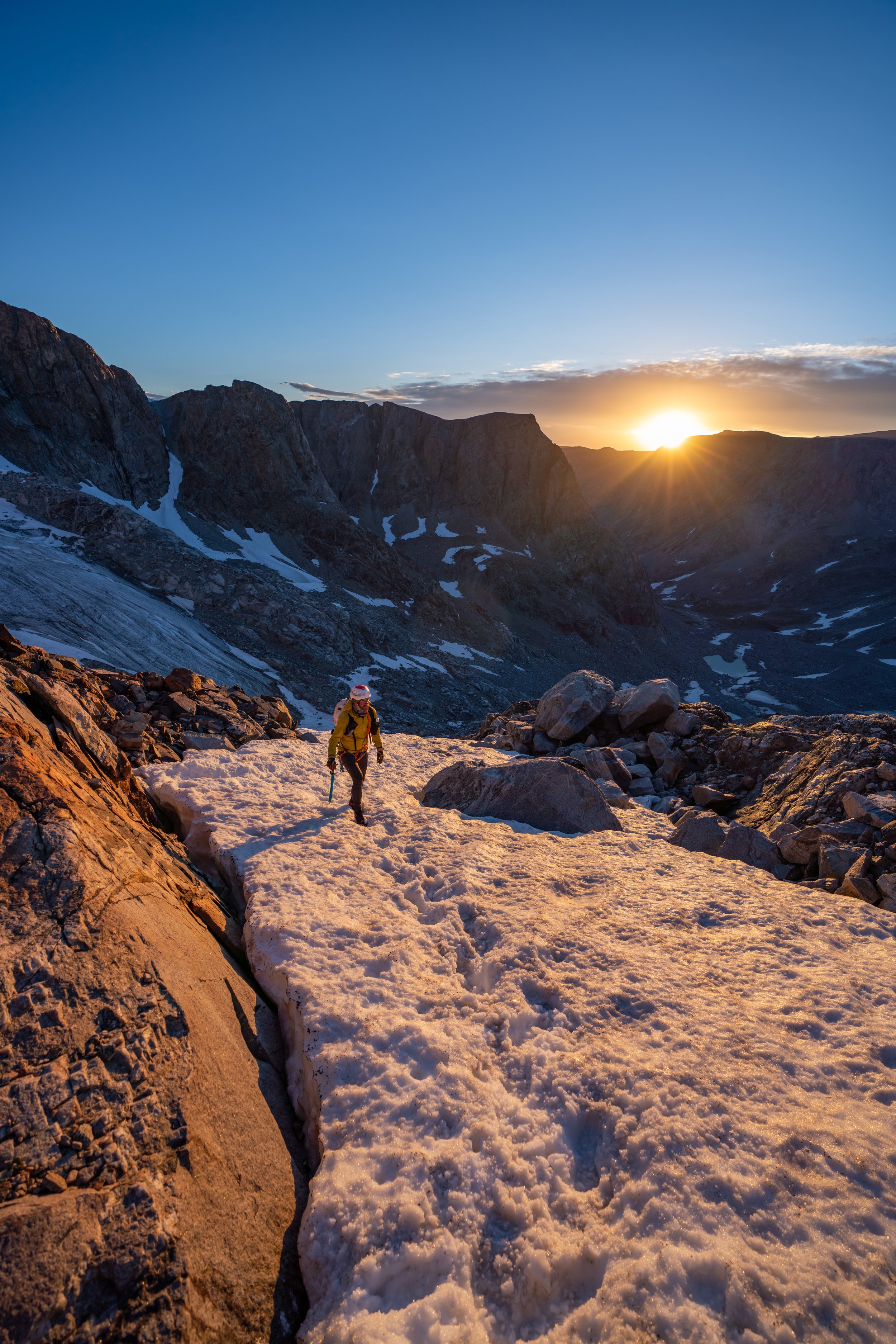
Almost immediately after the overlook, the Joyner Ridge Trail begins descending the switchbacks to the valley below.
Some hikers may prefer to carry trekking poles for this section, and if you’re visiting when there is snow across northern Wyoming, micro-spikes may be necessary.
In total, there are only 4 or 5 switchbacks, depending on how you count, that descend about 170 ft. (52 m) to the Red Beds Connector junction in the valley below.
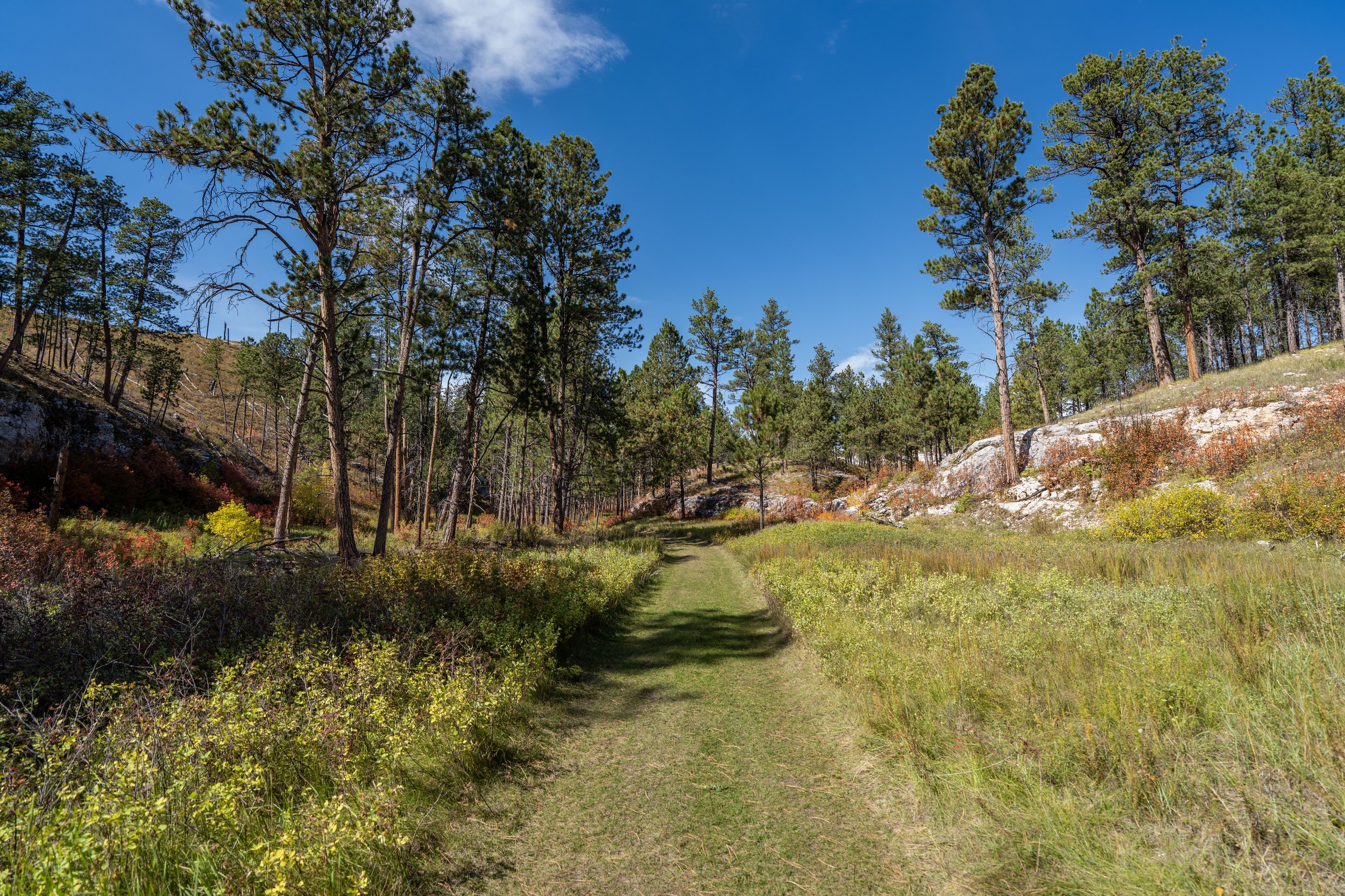
This straight stretch is one of the most photogenic spots in all of Devils Tower National Monument!
Joyner Ridge-Red Beds Connector Junction
The only time the Joyner Ridge Loop splits is when it first reaches the forest at the bottom of the valley.
This is the connector that leads over to the Red Beds Trail, roughly 0.6 miles (1.0 km) away.
However, to stay on the Joyner Ridge Trail and begin hiking through the valley and back to the trailhead, go right at this split to begin the return loop.
Read My Separate Post: Red Beds Trail
This really was a beautiful stretch to hike with the peak fall foliage in early October!
If you are lucky enough to spot any wildlife, these quieter forested areas within Devils Tower are where visitors have the best opportunities, and know that seeing a Black Bear is an incredibly rare occurrence, as there are no established populations within the National Monument, according to the National Park Service.
When the Joyner Ridge Trail begins to head back uphill, the loop is nearing the beginning sections and will level off a short distance ahead.
This is where the Joyner Ridge Trail levels off, and it remains this way for the remainder of the hike.
This is where the road and the trailhead start to become visible in the distance!
South Joyner Ridge Trailhead
This is the South Joyner Ridge Trailhead, with the route taken at the beginning on the right side of the photo below.
On a different note, if you began your visit at Devils Tower by hiking the Joyner Ridge Trail for sunrise, I recommend continuing up the road to the Tower Trail next, as that parking area is the busiest location in Devils Tower, which is why I think it’s best to enjoy it early in the morning!


South Dakota
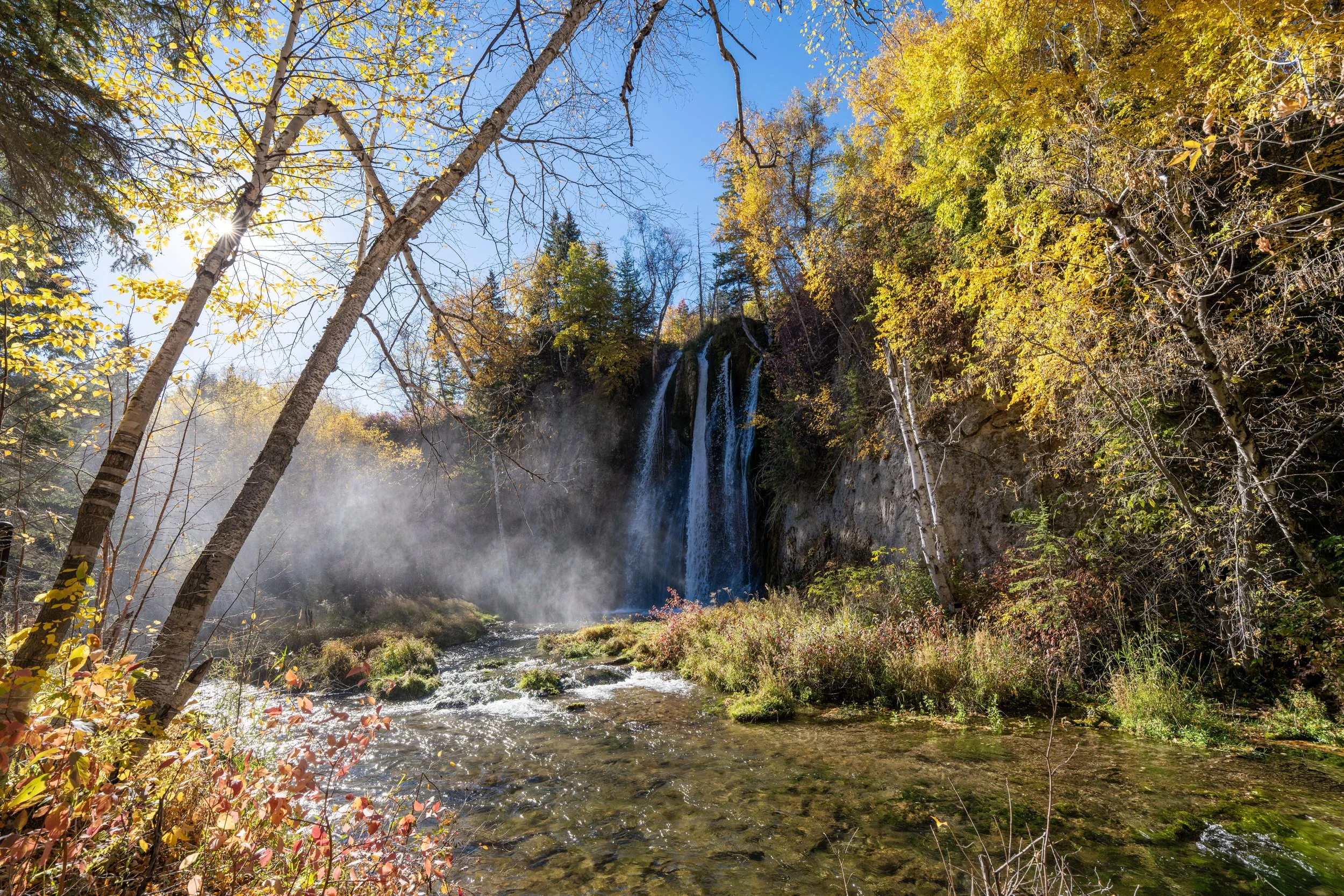

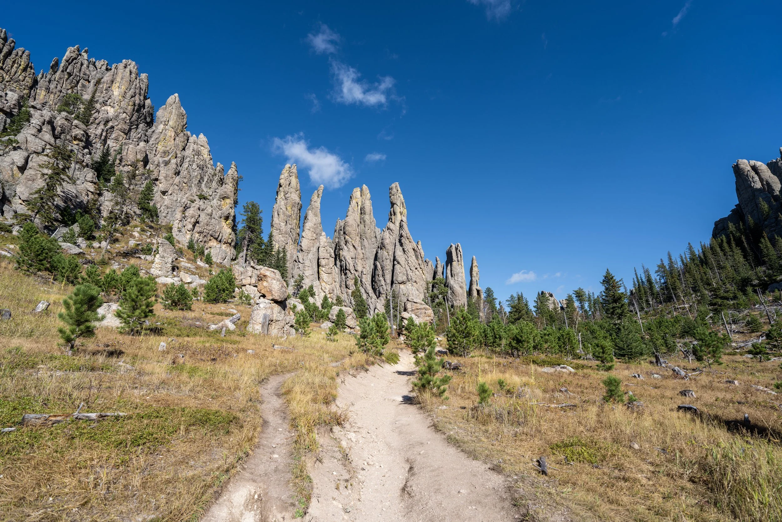
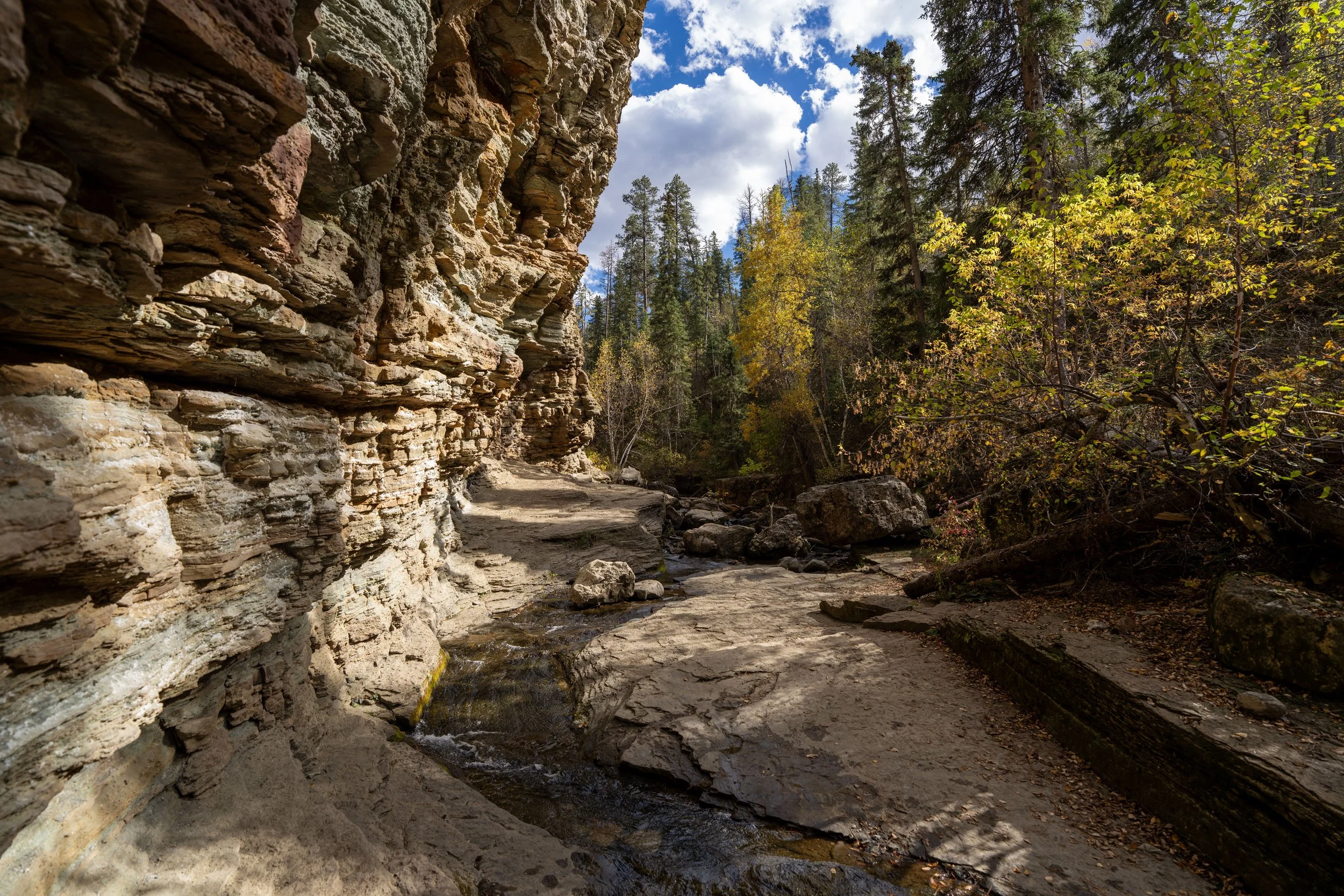
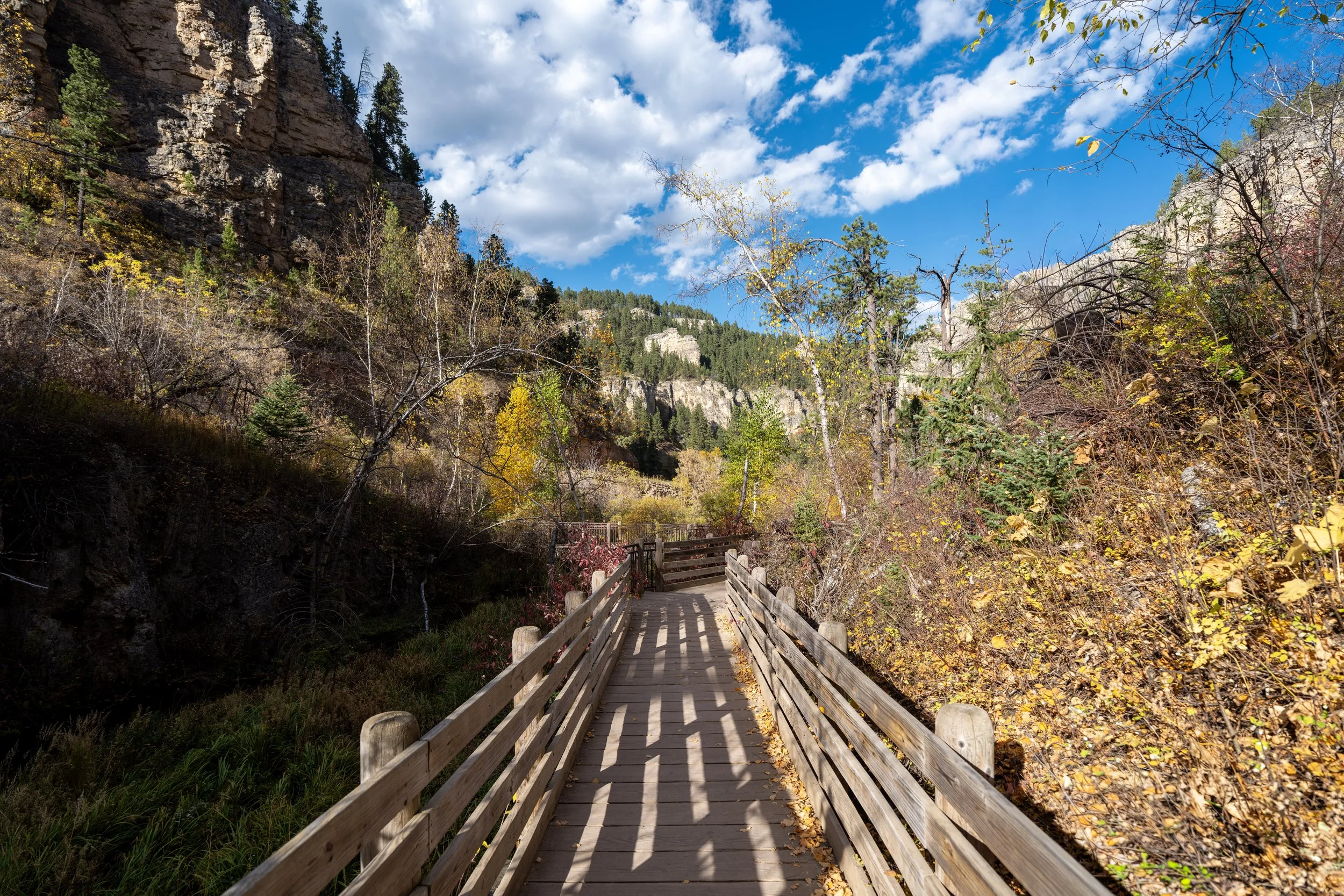
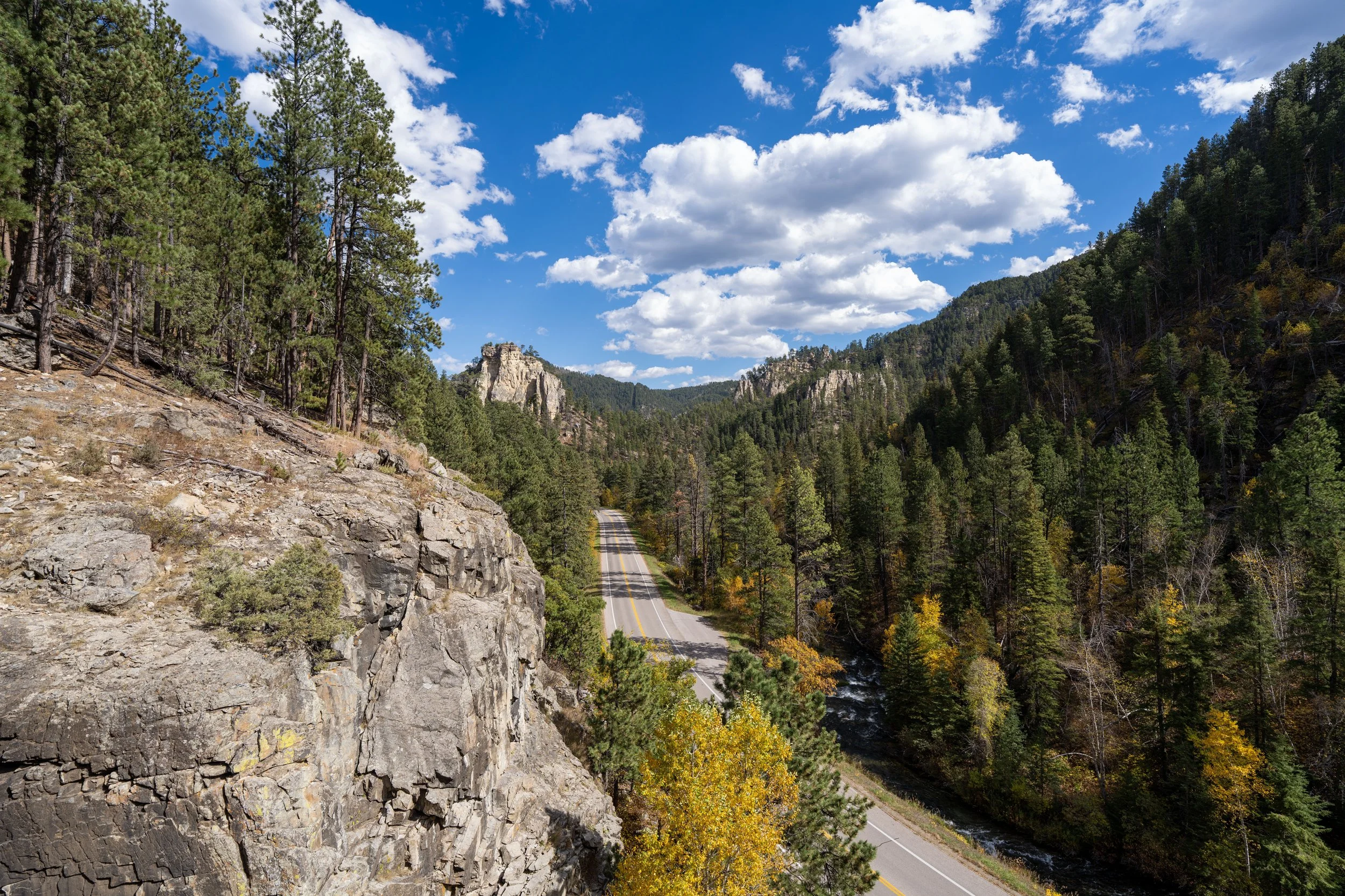


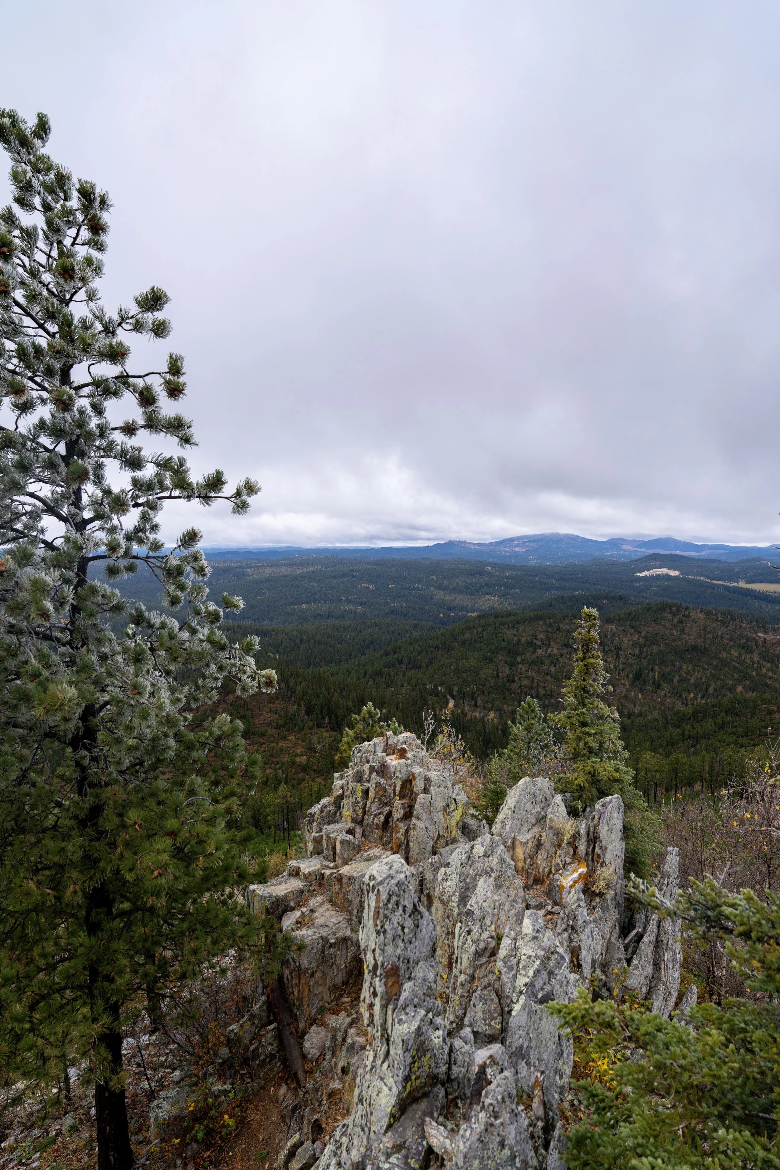
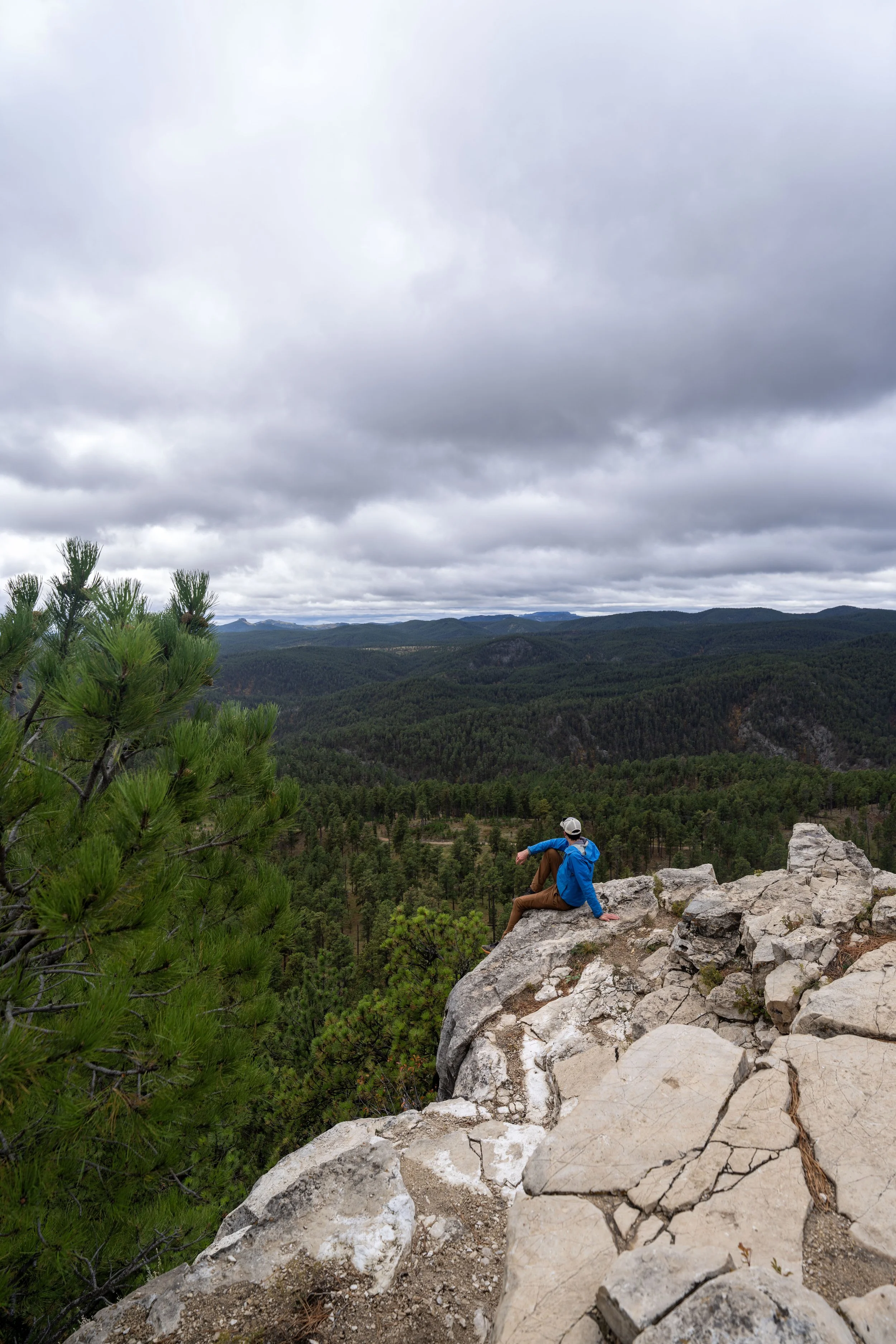
Wyoming