Hiking the Custer Peak Trail in the Black Hills, South Dakota
Distance (RT via NF Boundary): 4.6 miles / 7.4 km
Distance (RT via Middle TH): 2.4 miles / 3.9 km
Distance (RT via Upper TH): 0.5 miles / 0.8 km
The Custer Peak Trail in the Black Hills of South Dakota is an easy day hike that leads to the top of a beautiful standalone summit and fire lookout, with panoramic views from all sides of the peak!
That said, the Custer Peak Trail is a very different adventure for different people, depending on what type of vehicle you arrive in.
By this, I mean that some choose to start hiking where Custer Peak Road meets the National Forest boundary, but if you have a high-clearance 4x4 vehicle or ATV, you can cut out the vast majority of the hike, which hopefully helps explain the difference in distances posted above.
In either case, the Custer Peak Trail is not an overly difficult or steep trail when beginning from the farthest, lowest parking area, as the hike only gains about 800 ft. (244 m) in 2.3 miles (3.7 km) from the National Forest boundary to the fire lookout at the summit.
Custer Peak Trailhead Parking
Parking for the Custer Peak Trail is located in one of three places, depending on what vehicle you’re driving.
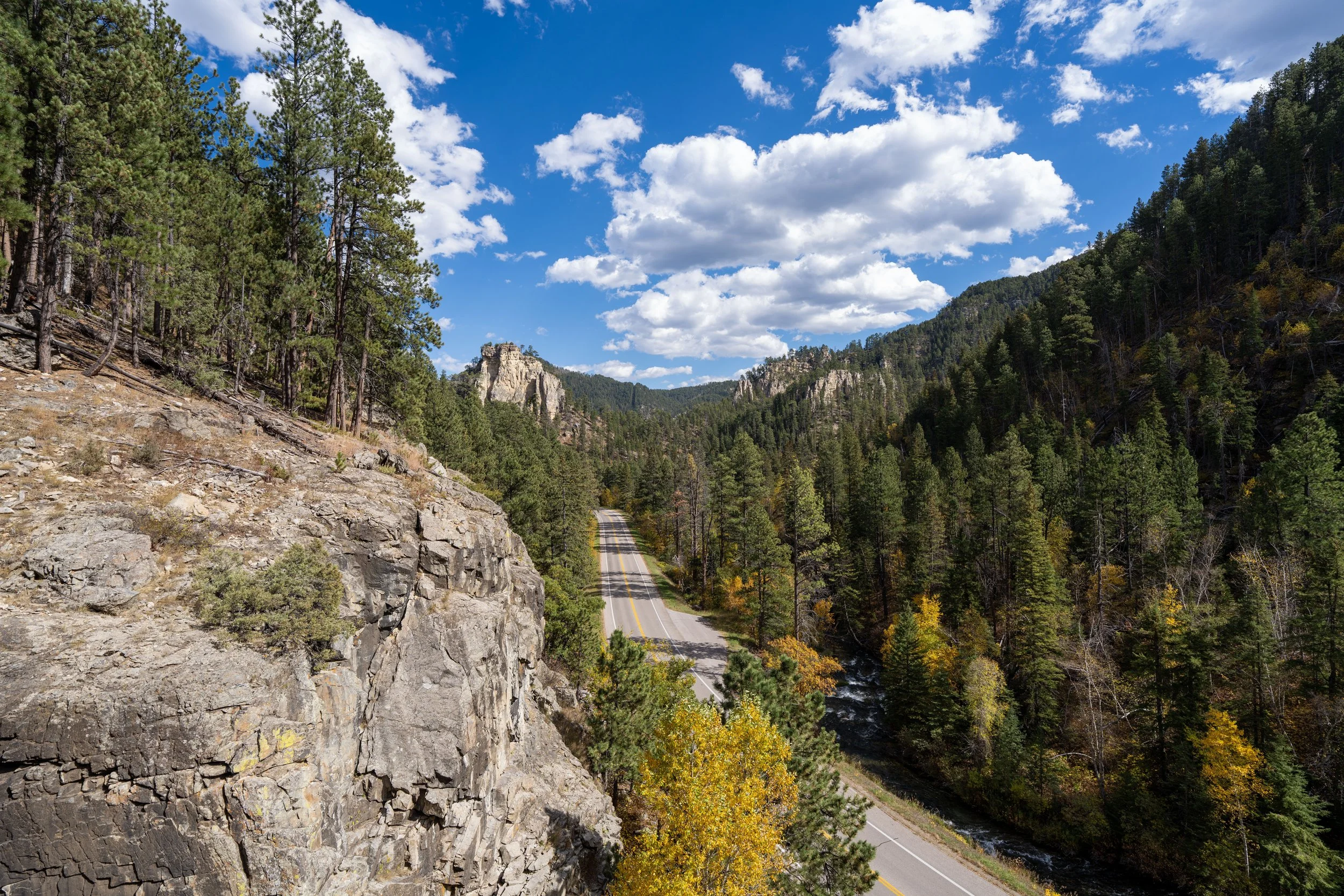
First, there is a roadside parking area where Custer Peak Road meets the National Forest boundary. This is the lowest and easiest parking area to get to off Highway 385.
However, after this, it really depends how high up Custer Peak Road you’re willing to drive, as there are two more parking areas along the way, though the uppermost trailhead is closed to vehicles during the winter off-season.
Google Maps Directions: Lower Custer Peak Trailhead / Middle Custer Peak Trailhead / Upper Custer Peak Trailhead
Hiking Checklist - South Dakota
According to the South Dakota Game, Fish and Parks (GFP) and the U.S. Forest Service, there are Black Bears in South Dakota, but encounters are considerably rare.
That said, here is a complete list of must-have things that you will want for any hike in South Dakota.
Hiking the Custer Peak Trail
Lower Custer Peak Trailhead
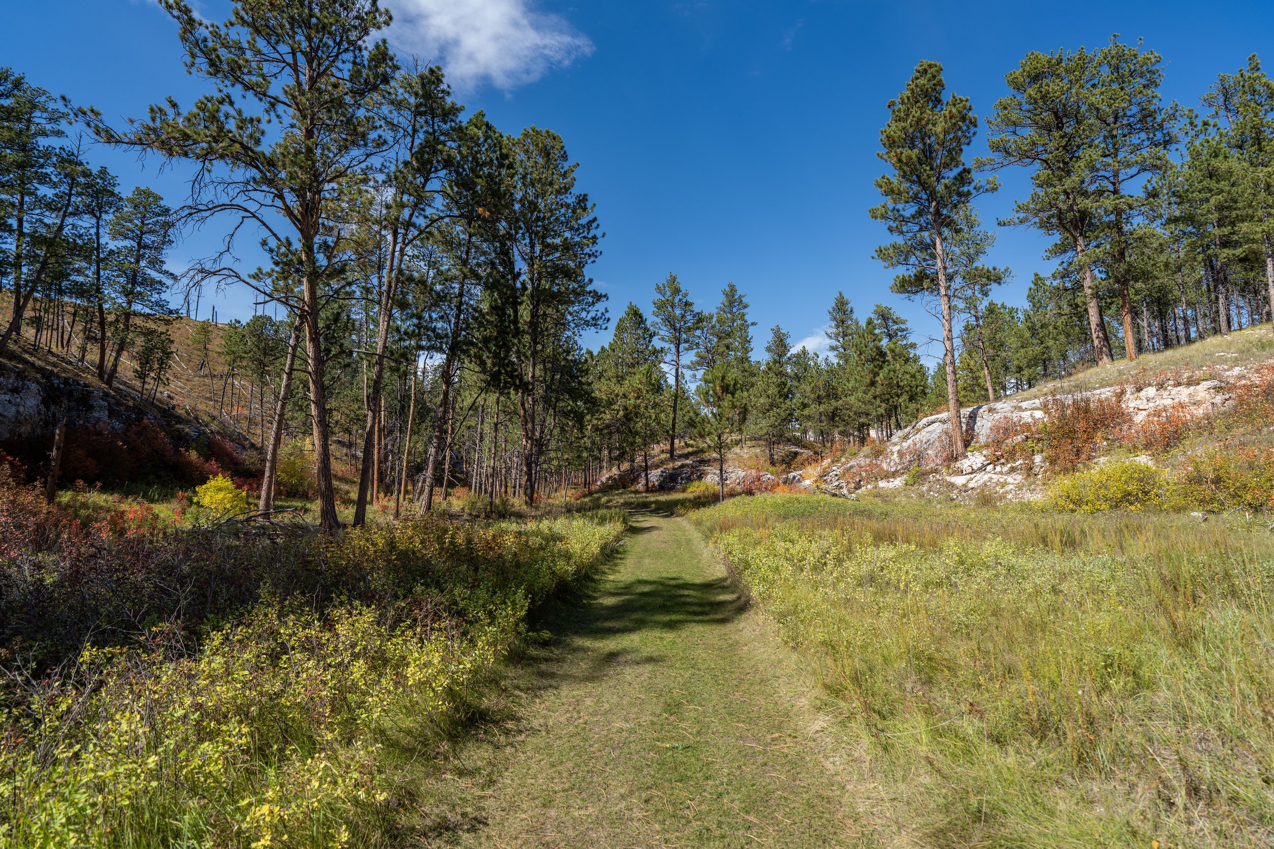
This article is about the full Custer Peak Trail/ Road, beginning at the National Forest boundary—the same area as the Lower Custer Peak Trailhead linked above.
To skip ahead to the Middle and Upper Custer Peak Trailhead, use the navigation bubble in the right-hand corner.
Initially, National Forest Road 216.2, also called Custer Peak Lookout Road, starts off very flat and easy, and honestly, I could have driven higher in my low-clearance rental car to cut out some of the distance.
However, I wouldn’t have wanted to push it as high as the Upper Custer Peak Trailhead, and most likely the Middle Trailhead as well, as the road becomes more challenging to drive after about the 0.6-mile (1.0 km) mark.
This is where the Custer Peak Trail turns away from the private land on the left-hand side of NF 216.2.
This hill, at roughly 0.6 miles (1.0 km) into the hike, is where Custer Peak Road starts to get more challenging for low-clearance vehicles, and I don’t think these photos do a great job of showing just how eroded some parts of it can be.
NF 216-NF 216.3A (217) Junction
At about 0.9 miles (1.4 km), NF 216 splits with NF 216.3A, also called NF 217, on the left-hand side.
Once here, go right to continue hiking NF 216.2 up to Custer Peak.
After the NF 216.3A junction, there are only 0.2 miles (0.3 km) left to reach the Middle Custer Peak Trailhead, just before the gate.
Middle Custer Peak Trailhead (NF 216-NF 213 Junction)
This is the Middle Custer Peak Trailhead parking area, located about 1.1 miles (1.8 km) up Custer Peak Road from the National Forest boundary.
That said, this trailhead is the best place to park when the gate leading up to the lookout is closed, which is only another 0.1 miles (0.2 km) up the road to the right.
NF 216.2A
This is the gate just above the Middle Custer Peak Trailhead that closes seasonally, which is the highest point vehicles can reach during the winter off-season—that is, if snow didn’t stop you earlier.
To know for sure whether the gate is open or closed, I recommend calling the Northern Hills Ranger District Office in Spearfish, SD before visiting.
U.S. Forest Service (Northern Hills RD): (605) 642-4622
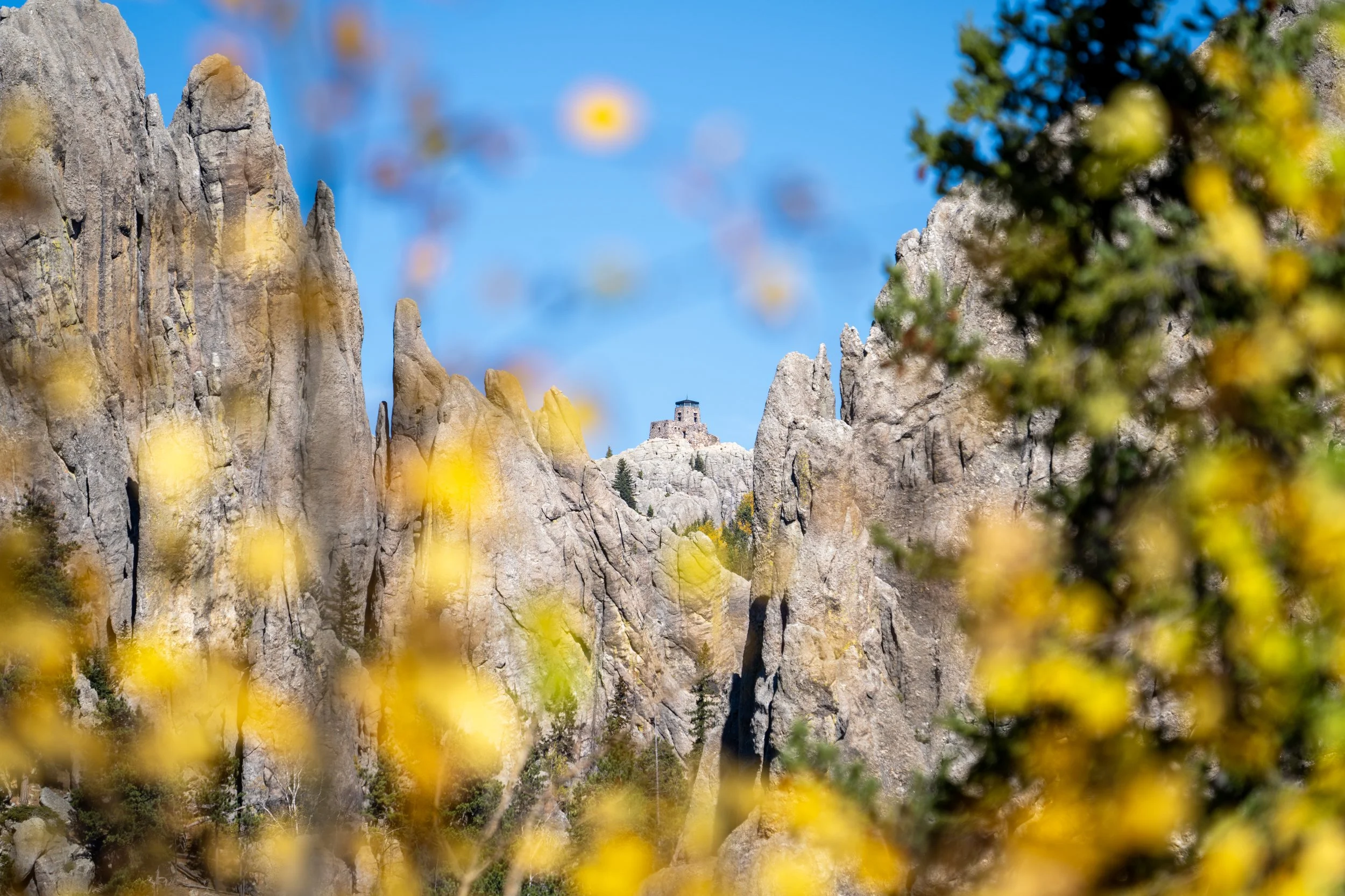
After the gate, the Custer Peak Lookout becomes easier to see through the Ponderosa Pines, as the forest thins considerably the higher the road climbs.
As NF 216.2A climbs to the Upper Trailhead, the road ascends some of the 'steeper' hills on the hike up Custer Peak, but in reality the elevation gain isn’t all that difficult, though some hikers may want to use trekking poles.
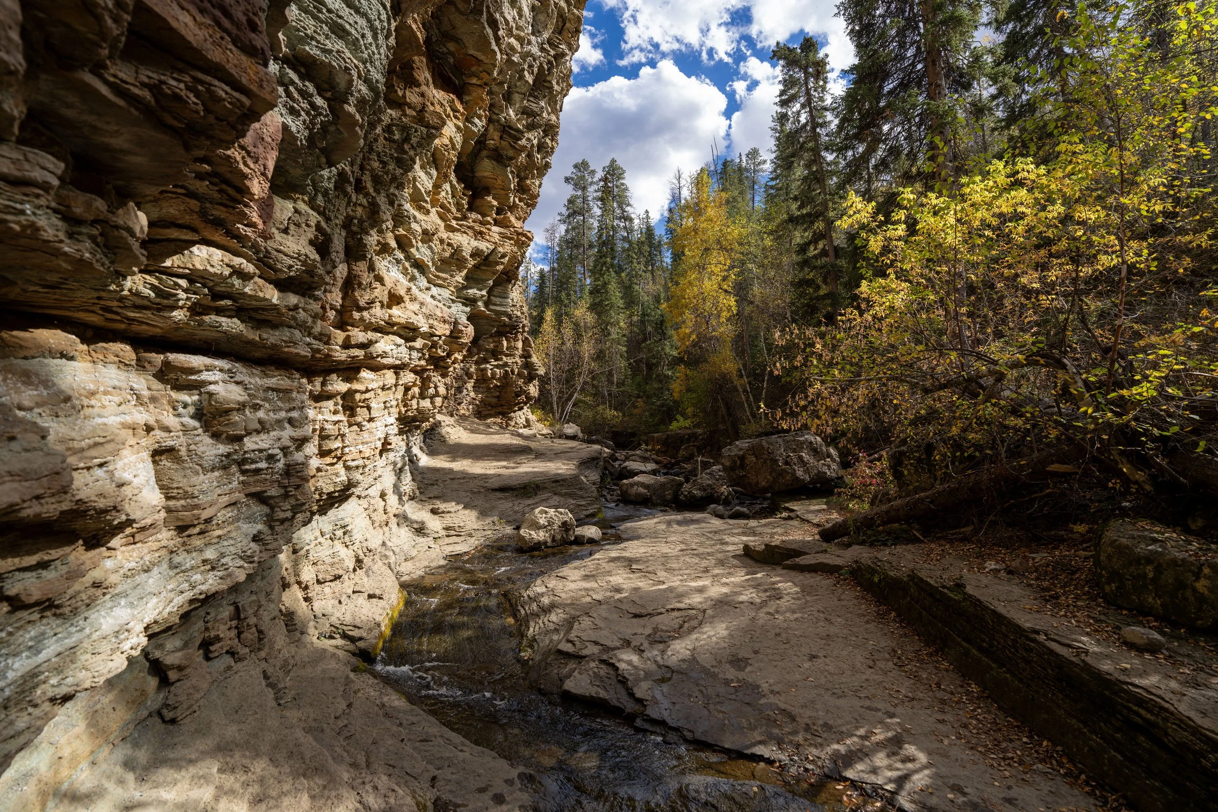
In addition to poles, be sure to take sun protection seriously on the Custer Peak Trail, as hiking a road is always less shaded than other day hikes here and elsewhere.
This is where the Custer Peak Trail begins to wrap around the south side of the summit, meaning there are only 0.25 miles (0.4 km) left until the Upper Trailhead.
Upper Custer Peak Trailhead
This hard switchback is where NF 216.2A ends, which is the highest point vehicles can drive up Custer Peak.
That said, the hike from the Upper Custer Peak Trailhead is only 0.25 miles (0.5 km) each way, with only about 130 ft. (40 m) of elevation gain to reach the summit!
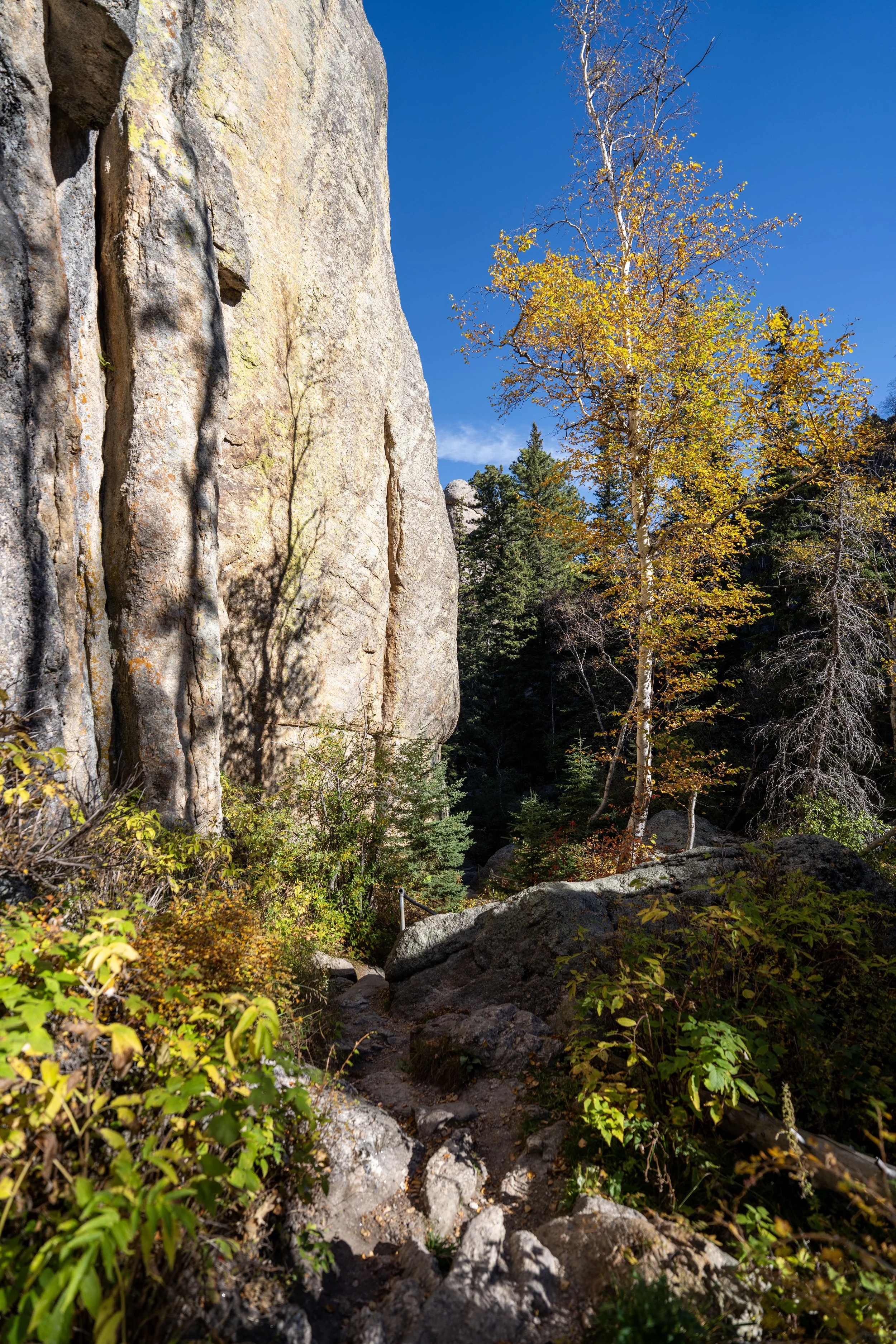
After leaving the Forest Road behind, the Custer Peak Trail follows an actual trail for the rest of the hike up to the fire lookout.
In total, there are 4 or 5 short switchbacks, depending on how you count, to reach the Custer Peak Fire Lookout at the summit.
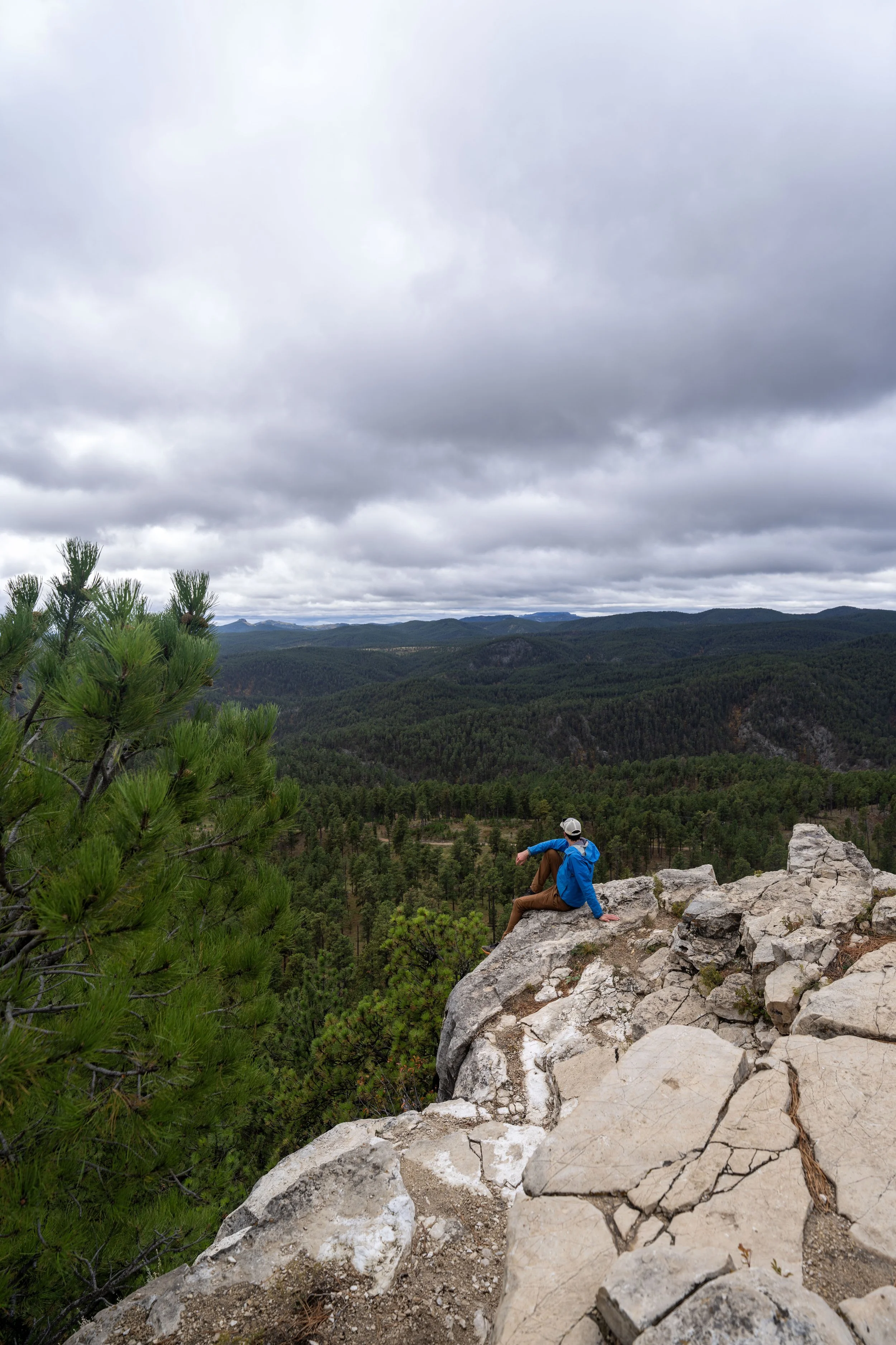
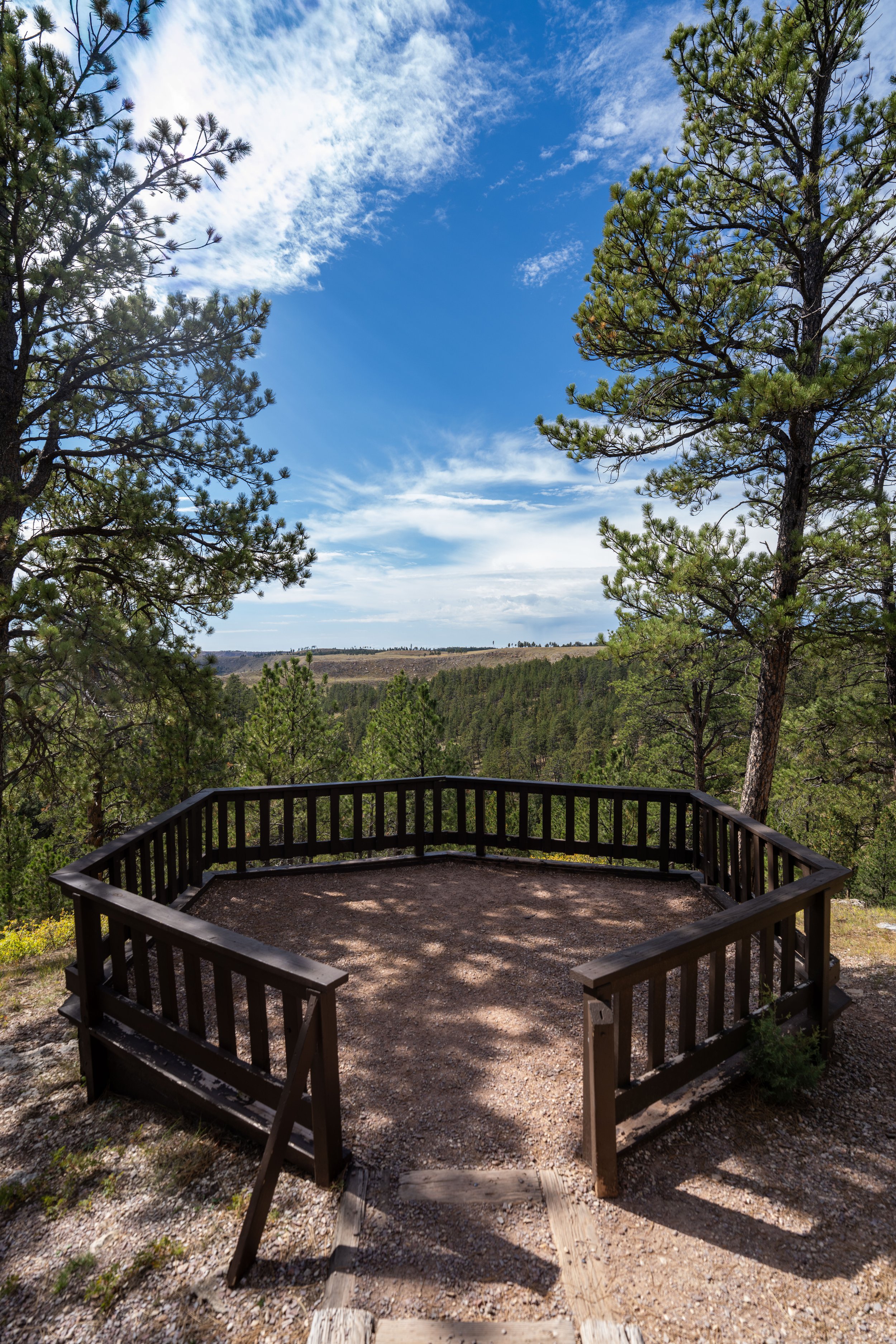
Custer Peak
The end of the Custer Peak Trail is the Custer Peak Fire Lookout, which is an active U.S. Forest Service lookout, sitting at approximately 6,804 ft. (2,074 m), according to the USGS.
Hikers are able to hike up and walk around the historic 1940s-era fire lookout, but it is not open to the public unless you are invited in by a friendly ranger.
This truly was a bitterly cold mid-October day—not to mention, it was the first light snow of the season when I hiked Custer Peak on this overcast day!
South Dakota


Wyoming