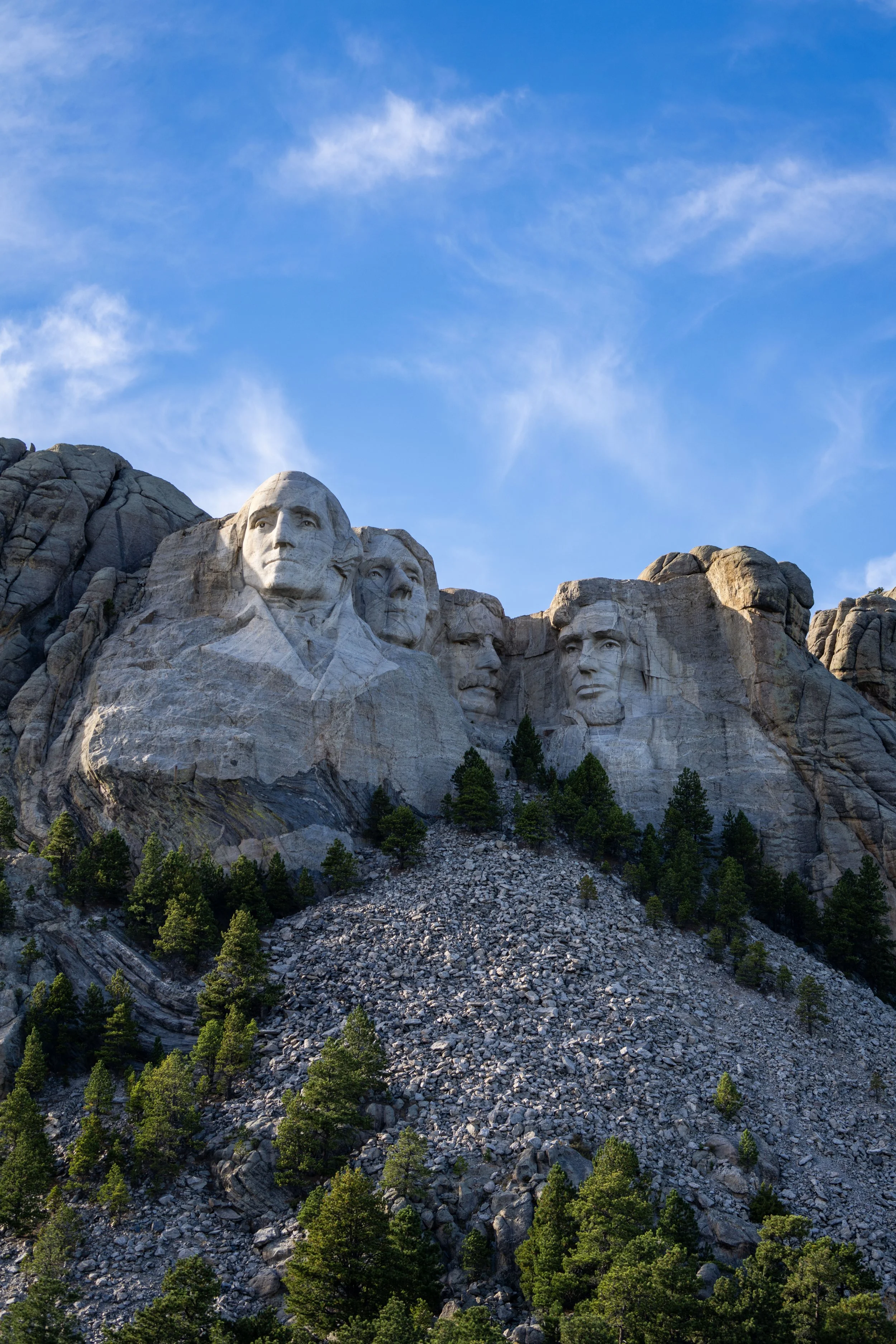
Hiking the Black Elk Peak Trail via Custer State Park in the Black Hills: The Tallest Peak in South Dakota
Distance: 6.8 miles / 10.9 km
Elevation Gain: 1,050 ft. / 320 m
The Black Elk Peak Trail in the Black Hills of South Dakota is a stunningly beautiful day hike that winds its way through towering granite rock formations before climbing its way to the Harney Peak Lookout atop Black Elk Peak, the highest natural point in the State of South Dakota!
That said, hiking Black Elk Peak can begin from a few different directions, but this post is about the Black Elk Peak Trail via Custer State Park, which is easily the most popular route to the top of South Dakota for a number of reasons.
The first is that it’s the easiest route up to Black Elk Peak. By this, I mean that the Black Elk Peak Trail via Custer State Park (Trail 9) from the south gains roughly 1,050 ft. (320 m) over 3.3 miles (5.3 km) from the trailhead to the summit, but compared to the Black Elk Peak Trail via the Peter Norbeck Scenic Byway from the north, the trail gains roughly double that at 2,100 ft. (640 m) over a distance that’s roughly 2.8 miles (4.5 km) longer overall.
All that aside, the Black Elk Peak Trail via Custer State Park is simply more beautiful, and it allows hikers the option to create a loop on the return hike by utilizing the Norbeck Trail. This way, hikers can explore other side trails, like the Cathedral Spires and Little Devils Tower Trail. If this is something you’re considering, I recommend reading my thoughts at the Norbeck junction below to learn more about this option.
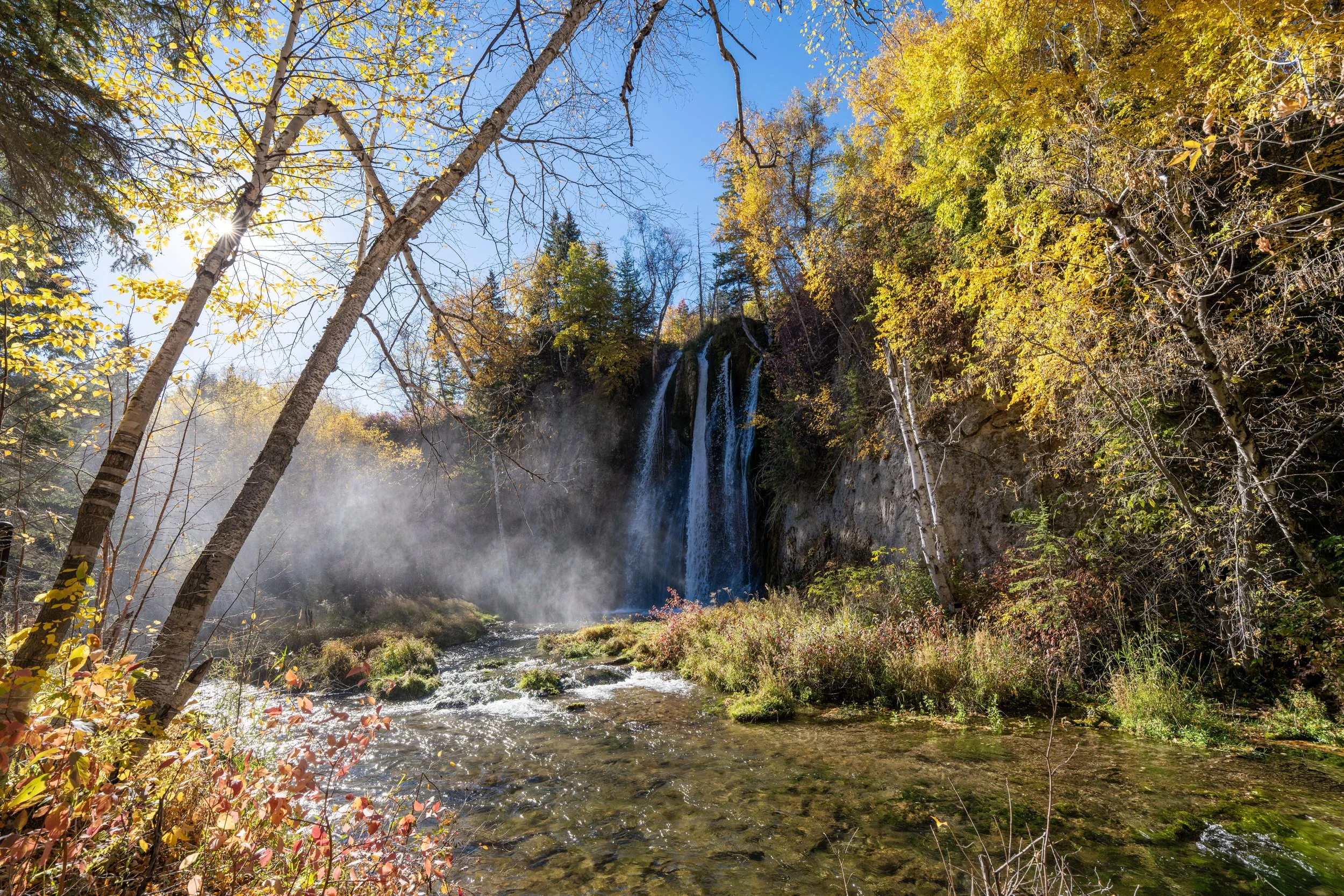
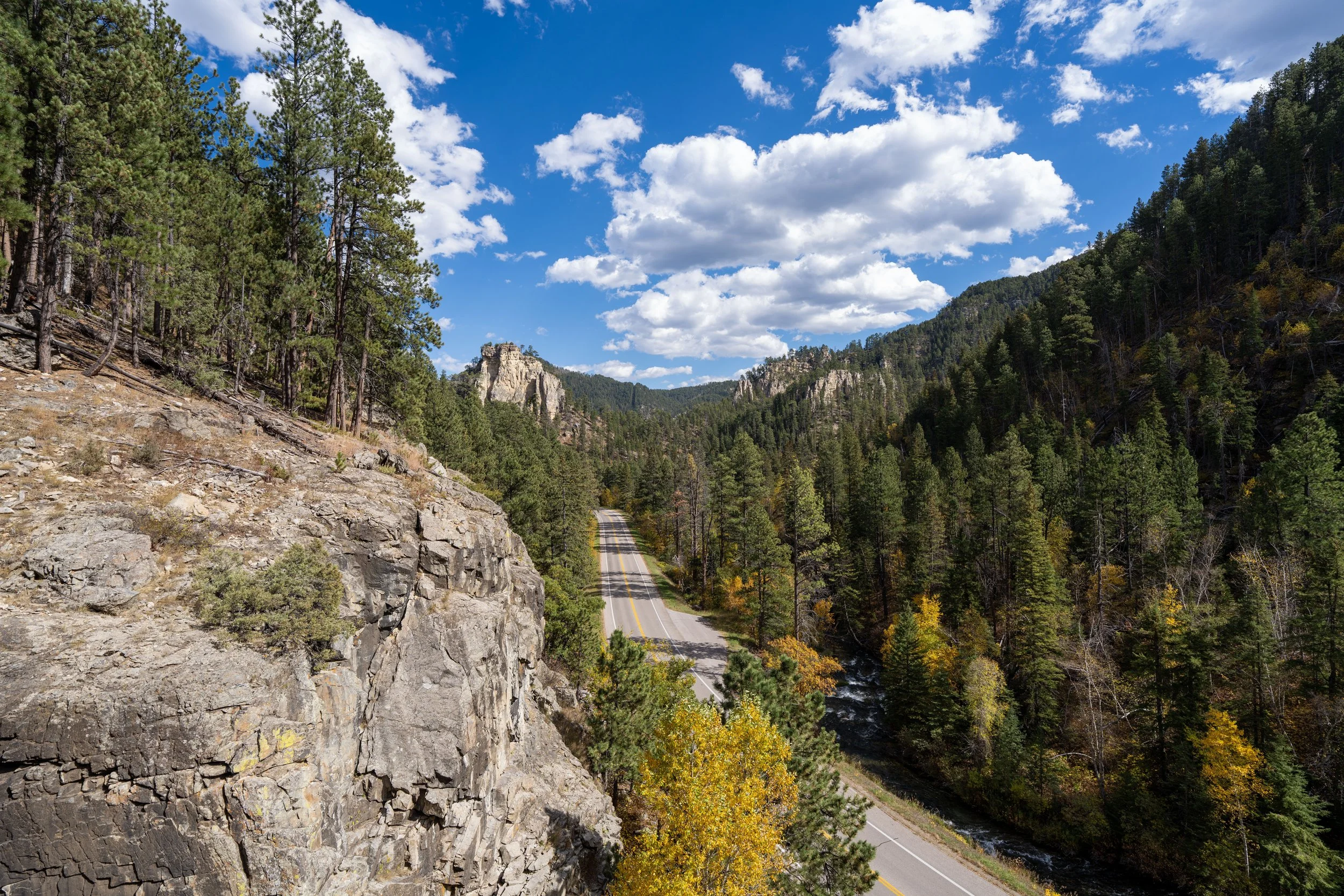
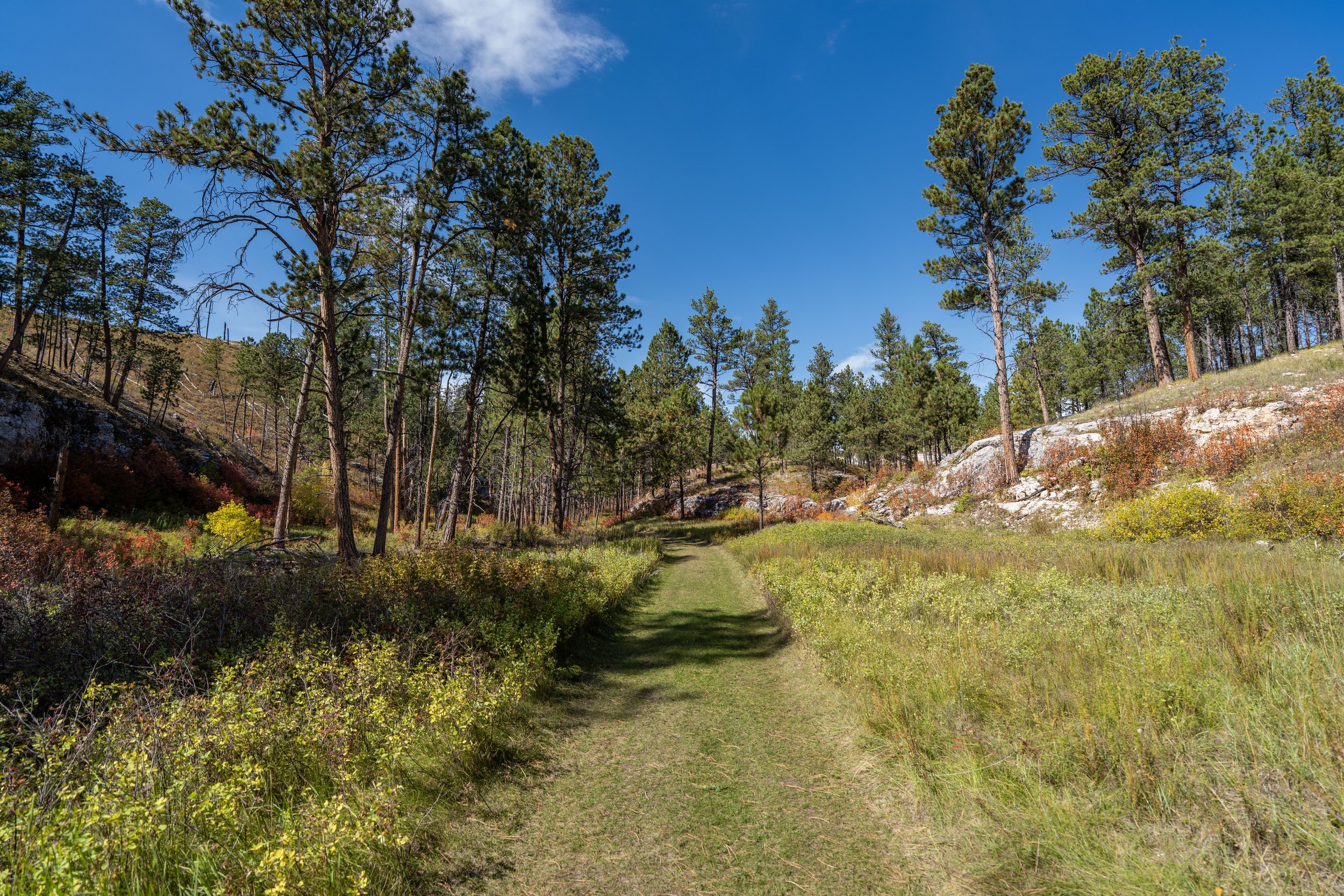
All this is to say, the Black Elk Peak Trail via Custer State Park is, without a doubt, one of the best things to do in the Black Hills, especially on a beautiful, sunny fall day like the photo below!
Black Elk Peak Trailhead Parking
Parking for the Black Elk Peak Trail via Custer State Park is located just off the Needles Highway, in one of a few different small parking lots surrounding Sylvan Lake.
Now, I want to stress the word small, as the Sylvan Lake area specifically is the busiest area within Custer State Park, meaning that parking can be a challenge to find.
This is why I recommend arriving early in the morning during the busy summer and fall travel season, so that you can enjoy Custer State Park and the Black Elk Peak Trail without having to worry about finding a spot.
Google Maps Directions: Black Elk Peak Trailhead (Custer State Park)
Hiking Checklist - South Dakota
According to the South Dakota Game, Fish and Parks (GFP) and the U.S. Forest Service, there are Black Bears in South Dakota, but encounters are considerably rare.
That said, here is a complete list of must-have things that you will want for any hike in South Dakota.
Hiking the Black Elk Peak Trail
The Black Elk Peak Trail begins on the north side of the parking area, where the trail quickly leaves the business of Sylvan Lake and the Sylvan Lake Lodge behind.
Black Elk Peak-Sylvan Lake Junction
Almost immediately after beginning the hike, the Black Elk Peak Trail reaches this split, which simply serves as a connector with the Sylvan Lake Loop Trail and the Sunday Gulch Trail on the far northwest side of the lake.
From here, go right at this junction to begin hiking toward Black Elk Peak.
Read My Separate Posts: Sylvan Lake Shore Trail / Sunday Gulch Trail
After leaving the Sylvan Lake area behind, the Black Elk Peak Trail begins heading north, where it will start gaining elevation gradually.
However, the climb is so gradual that most of the uphill is hardly noticeable!
The one thing I hope these photos show more than anything else is that there is not much shade on the Black Elk Peak Trail, which is why I recommend hiking in a hooded sun shirt—especially considering how much easier it is to burn above 6,000 and 7,000 ft. (1,829 – 2,134 m).
The one thing I can say about visiting the Black Hills during peak fall colors is that the timing of this trip was not by accident!
In fact, I planned this trip all the way from Hawaiʻi around a very specific window to catch the Aspens in the Black Hills at their peak, and I’m happy to say it really worked out!
I would also say that fall is, without a doubt, the best time of the year to visit western South Dakota because it not only makes for the most beautiful experience up here in the high country, but it also makes visiting and hiking around Badlands National Park much more enjoyable, which is a considerably hot and dangerous place to spend a lot of time outside during the mid-summer months.
I mention all this to say that peak fall colors in the Black Hills usually occurs around the last week of September through the first week of October, with a few days on either side of October 1st being the best.
However, there is a small amount of seasonal variability to this general rule of thumb, which is why I recommend using the fall foliage map linked below to narrow down the best window!
Explore Fall: Fall Foliage Map
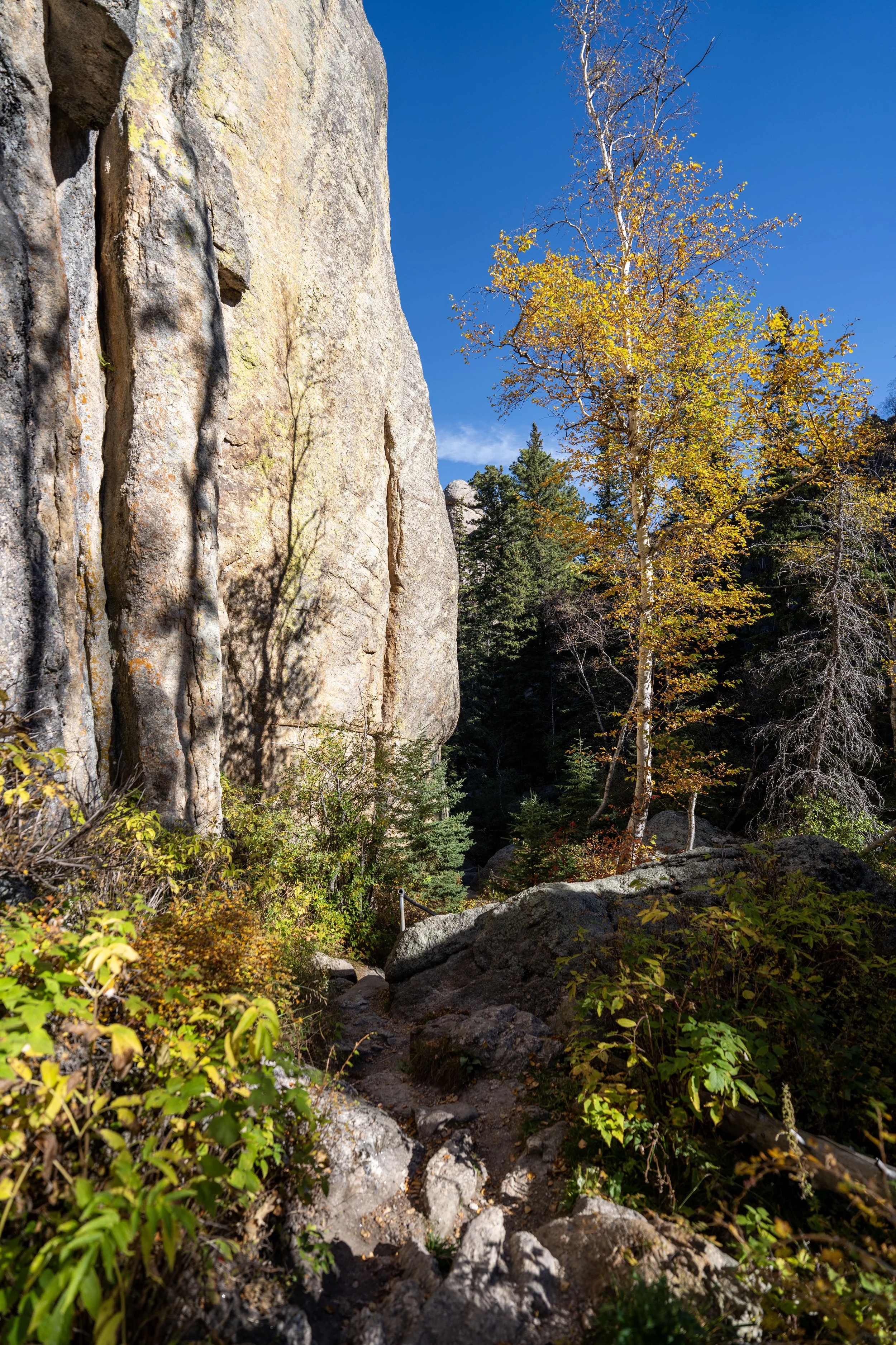
The Aspens at the lower elevations of the trail were nothing short of amazing, but they are the best and most beautiful within the last 0.5 miles (0.8 km) of Black Elk Peak!
Black Elk Peak-Lost Cabin Junction
The second time the Black Elk Peak Trail splits is when it meets the Lost Cabin junction along the border between Custer State Park and the Black Hills National Forest.
However, this is not where the Black Elk Peak Trail leaves Custer State Park. Instead, it continues through the park for roughly another 1.0 mile (1.6 km) before reaching the National Forest boundary.
All that to say, go right on the more obvious trail to continue hiking up to Black Elk Peak.
The Lost Cabin junction is also where Black Elk Peak and the Harney Peak Lookout can be seen in the distance for the first time!
What’s the Difference Between Black Elk and Harney Peak?
Physically speaking, there is no difference. Both Black Elk Peak and Harney Peak refer to the same mountain, as Harney Peak was the former name given in the 1800s after U.S. Army General William S. Harney.
However, in 2016, the name changed to Black Elk Peak to honor Black Elk, a revered Oglala Lakota holy man and teacher.
As for the lookout at the summit, it still goes by the name Harney Peak Lookout, as the structure predates the name change and retains its original historic designation.
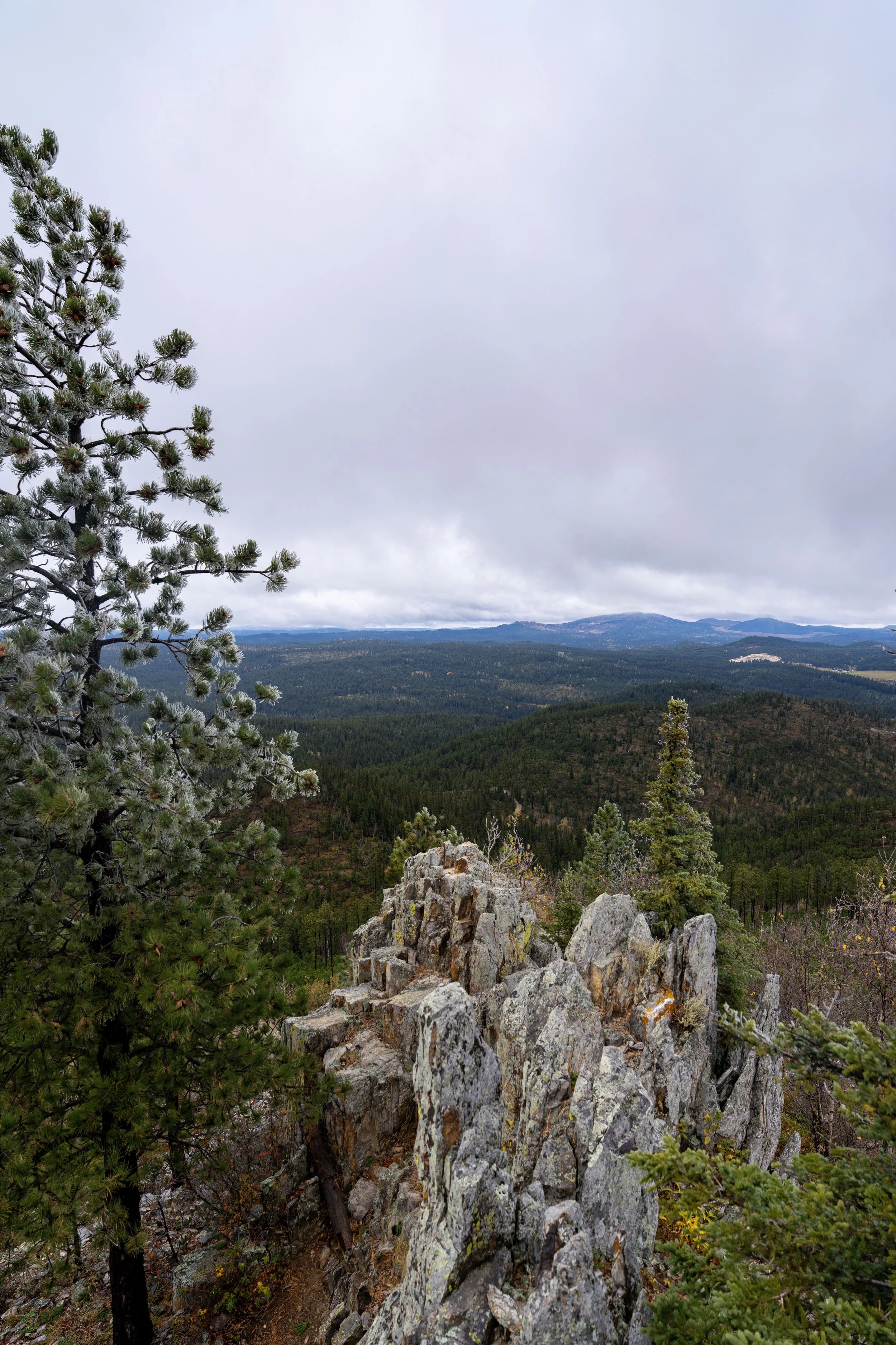
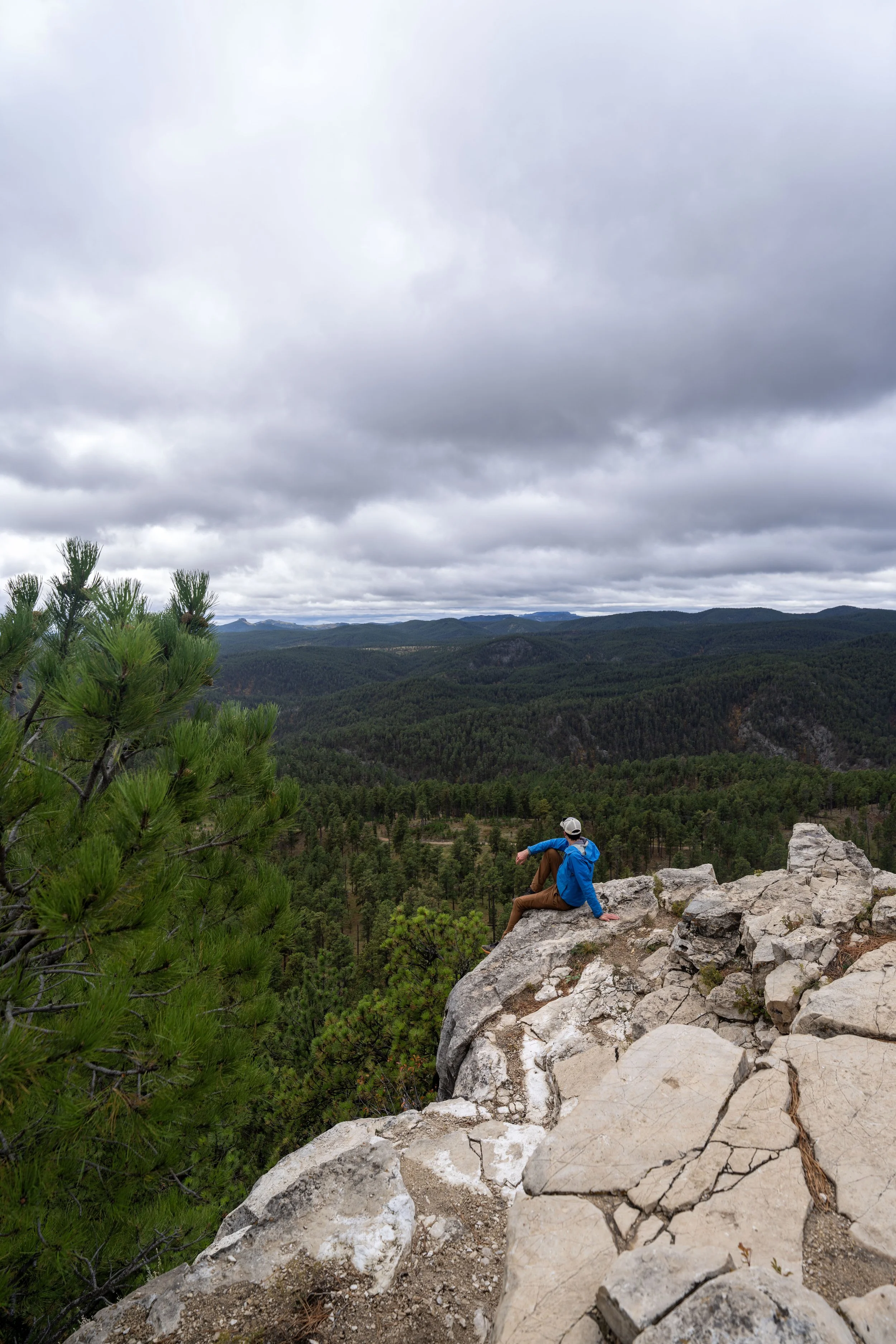
This view is somewhat similar to the view from the top of the Little Devils Tower Trail, though Little Devils Tower is much more beautiful, and it’s one that I often regard as one of the best day hikes in the Black Hills!
After the first Lost Cabin junction, the summit of Black Elk Peak can feel far away, given the far-off views from the trail to the south, but in my opinion, this section moves fairly quickly!
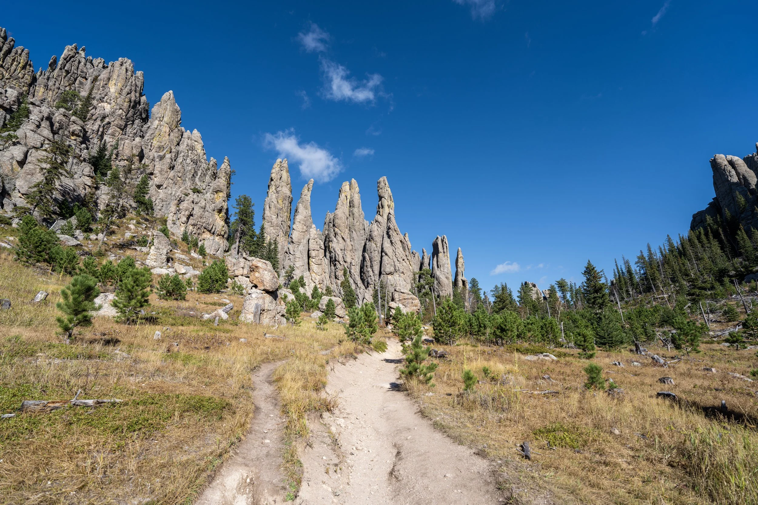
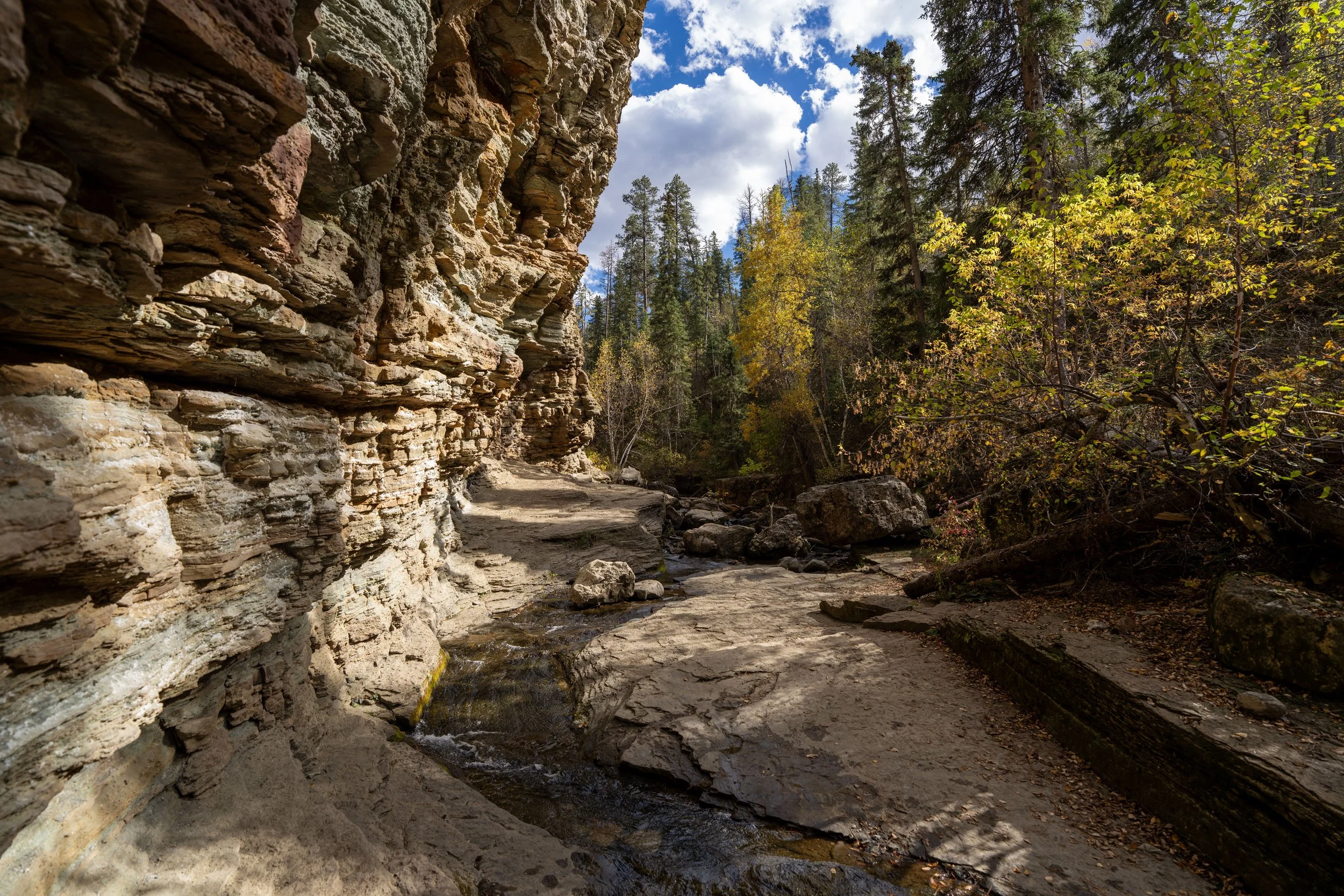
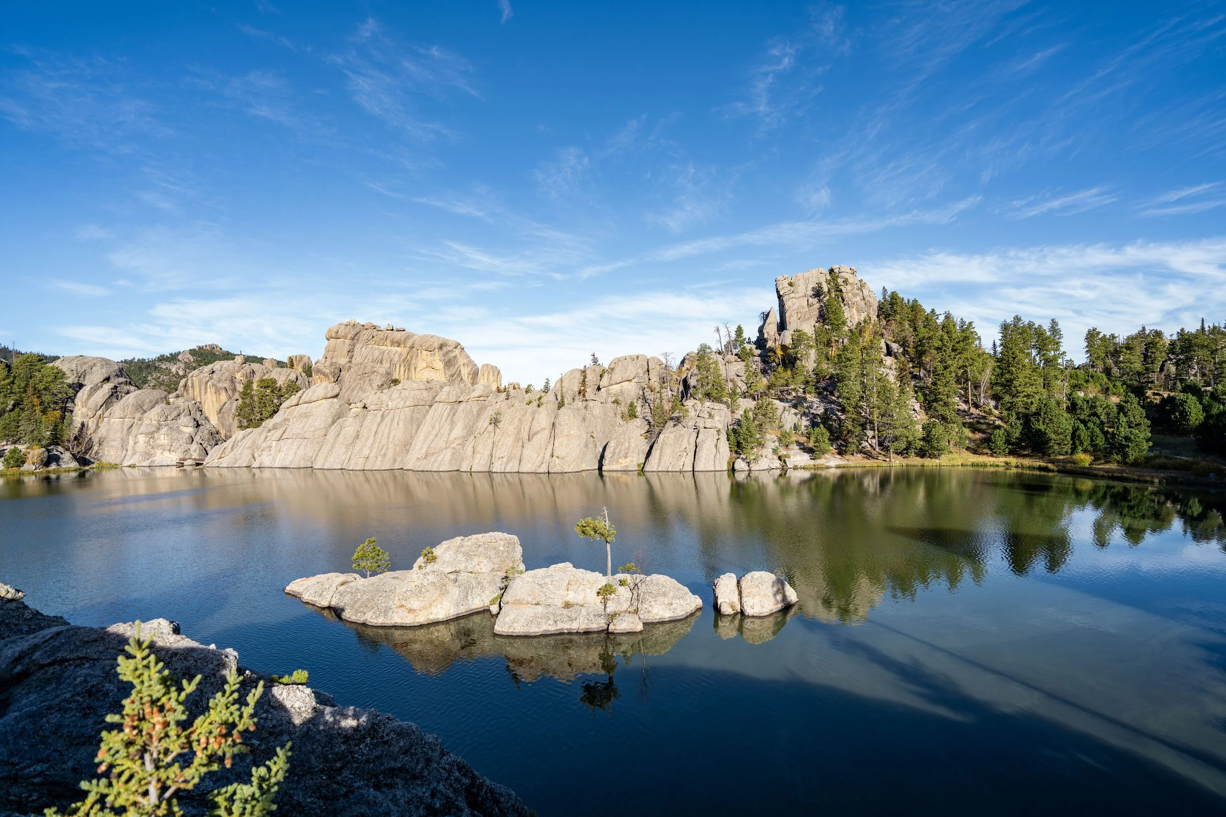
These sections, through all the beautiful granite rock formations, were some of my favorite parts of the hike prior to the final ascent!
This stretch of Aspens is where I found the best opportunity to take photos of Black Elk Peak from a distance!
Custer State Park-Black Hills National Forest Boundary
This is where the Black Elk Peak Trail leaves Custer State Park and enters the Black Hills National Forest, specifically the Black Hills Wilderness.
I mention this to remind all that it is illegal to fly drones in any federally designated wilderness area.
Between Custer State Park and the Black Hills National Forest, there really is no difference in terms of trail management or difficulty, as Black Elk Peak is one of the most gradual uphill hikes for what a state high point truly could be.
Black Elk Peak-Lost Cabin Spur Junction
The next time the Black Elk Peak Trail splits is with this connector trail that leads over to the same Lost Cabin Trail passed at the beginning.
That said, go straight on the much more obvious trail to continue hiking up to the summit of Black Elk Peak.
After the second Lost Cabin junction, which is also the halfway point, the Black Elk Peak Trail begins a fairly steady, constant climb to the summit, where the trail gains roughly 825 ft. (251 m) in the final 1.6 miles (2.6 km).
Even though the last half of the trail is where the majority of the 1,050 ft. (320 m) of elevation gain comes from, it really isn’t bad.
I mean it when I say that the Black Elk Peak Trail via Custer State Park is truly a gradual climb, and it’s notably easier in terms of hills than other day hikes that begin around Sylvan Lake, like the Sunday Gulch Trail.
If you happen to be visiting the Black Hills during the early summer season or late fall, micro-spikes, at the very least, may be required to hike the Black Elk Peak Trail safely, and note that shaded areas like this can hold snow for much longer than other parts of the hike.
In addition to spikes, some hikers may want to carry trekking poles for the somewhat long Black Elk Peak Trail, especially when planning the much steeper approach from the north.
When the Black Elk Peak Trail begins to approach the Norbeck junction—the same junction used to create a loop—the trail will begin to switch back and forth a number of times.
As the Black Elk Peak Trail climbs higher, it’s important to be mindful of thunderstorms—especially during the warmer summer months when pop-up afternoon storms are more common across the Mountain West.
That said, I hope that you can have beautiful, sunny like this on Black Elk Peak, but if you’re climbing to the summit and the weather is looking questionable, I want to stress the importance of good decision-making.
I have personally had more than one serious lightning scare, including one that knocked me off my feet, and I mention this to say: turn back! Getting caught in a scary situation is not worth the risk.
To have the best idea before setting off, I recommend checking Mountain Forecast, as it is the best weather forecast for peaks around the world.
Mountain Forecast: Black Elk Peak
Black Elk Peak-Norbeck Junction
The second-to-last time the Black Elk Peak Trail splits before the summit is where it reaches the Norbeck junction, better known as the Little Devils Tower and Cathedral Spires junction.
This is the split in the trail that’s often used to create a loop on the return hike, but personally, I don’t recommend taking the Norbeck Trail on the way back unless you don’t have time to explore Little Devils Tower and the Cathedral Spires separately.
I say this because the two are absolutely best treated as separate, individual day hikes, as the Little Devils Tower Trail is, without a doubt, the best sunset hike across all the Black Hills, and the Cathedral Spires Trail is best enjoyed in the mid- to late-afternoon hours for the best light for photos amongst the spires.
My thoughts aside, go straight at this split to continue hiking up to the summit of Black Elk Peak.
Read My Separate Posts: Cathedral Spires Trail / Little Devils Tower Trail
After the Norbeck junction, the Black Elk Peak Trail continues for another 0.4 miles (0.6 km) until it reaches the Black Elk Peak Trail that began off the Peter Norbeck Scenic Byway from the north.
This is where the Aspens on the Black Elk Peak Trail really started to become more frequent, especially just outside the cave that leads up the Harney Peak Lookout.
This is where the Black Elk Peak Trail crosses the 7,000-ft. (2,134 m) mark, meaning there is only 242 ft. (74 m) of elevation left to gain!
Catching peak fall colors on Black Elk Peak was truly one of the best things about this trip to South Dakota!
South Black Elk Peak-North Black Elk Peak Junction
The last time the Black Elk Peak Trail splits before the summit of Black Elk Peak is where the trail meets the route from the north, often called the Trail No. 9 Route.
It is here that the route from Custer State Park to the south and Trail 9 from the north meet for the first time, continuing as one up to the summit.
That said, go left at this split to begin the final ascent to the Harney Peak Lookout and the summit of Black Elk Peak.
This flat stretch below Black Elk Peak is where some of the best views toward Sylvan Lake to the south are found!
This split is nothing more than a route for both stock and hikers, with both trails leading to the same place.
This is where the stock trail from the north route ends.
This stretch of Aspens was one of my favorites, and it’s a great place to take photos looking out through the window on the inside the of cave just ahead!
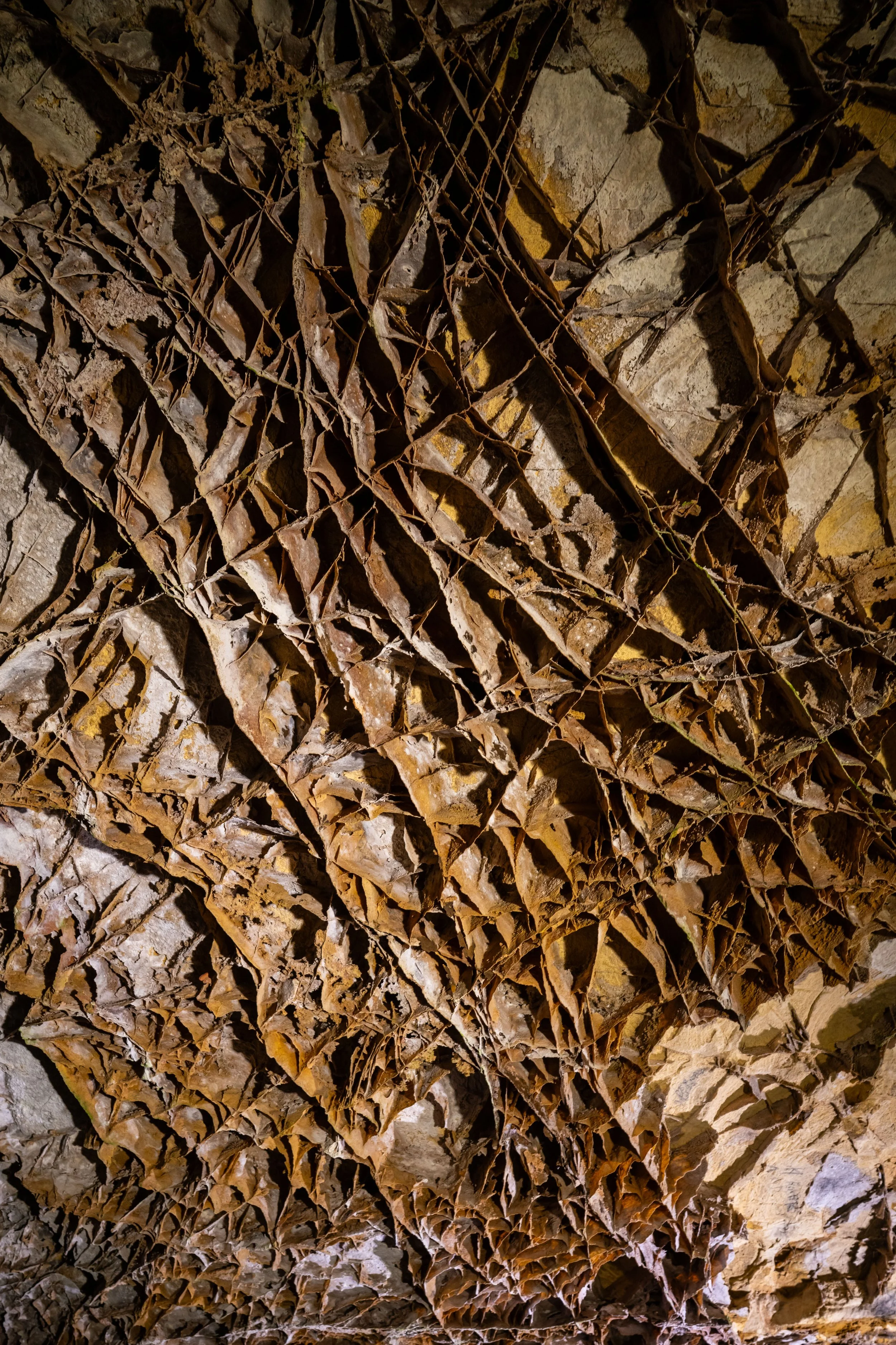
At the base of Black Elk Peak, the trail passes through this cave, where it reaches the beginning of a staircase that leads up to the Harney Peak Lookout.
I’ve often wondered what climbing to the summit of Black Elk Peak would look like without this staircase making it so easy!
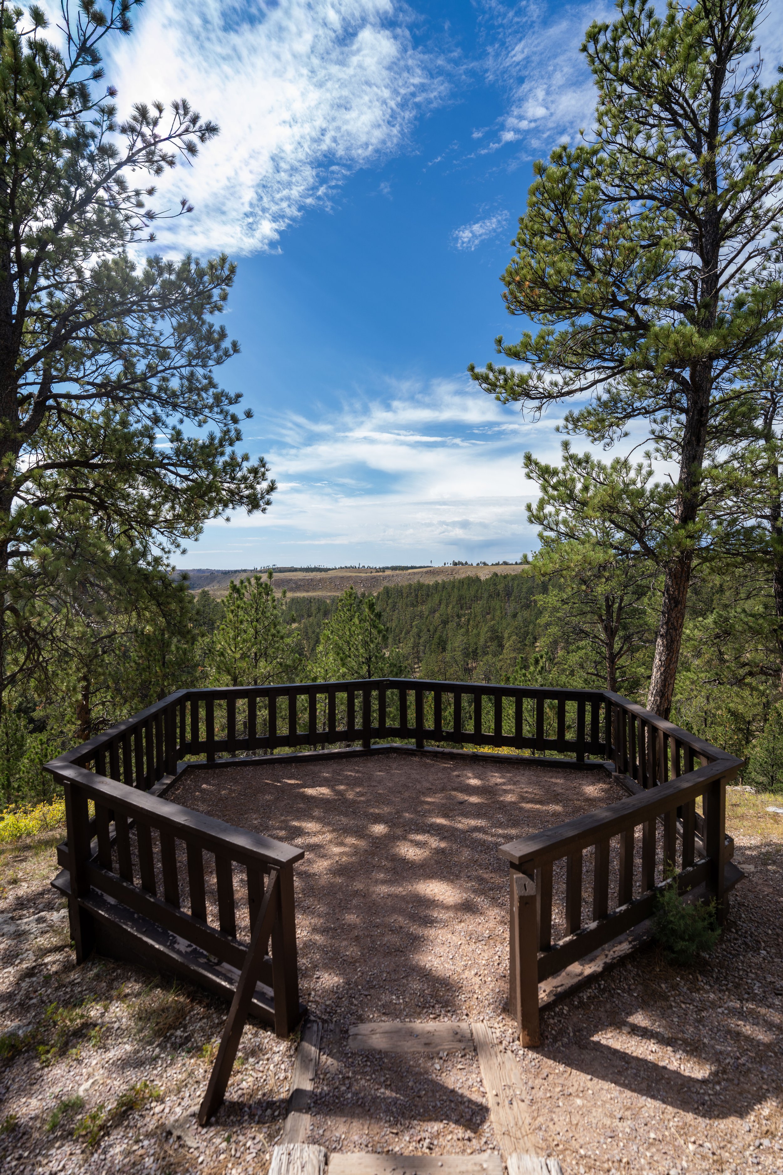
Black Elk Peak (Harney Peak Lookout)
This is Black Elk Peak, which, according to the USFS, stands at approximately 7,242 ft. (2,207 m), making it the highest peak in South Dakota and the highest peak east of the Rockies!
The historic Harney Peak Fire Lookout, built in 1939, is located right atop the true summit, and it is open for the public to enjoy!
On the inside of the historic Harney Peak Lookout, hikers can explore all areas, both upstairs and down, but the one thing I ask and stress is not to graffiti or leave trash.
The Harney Peak Lookout today is maintained by the U.S. Forest Service in cooperation with private volunteer groups, and it feels that all too often beautiful places like this are not respected.
Please do your part!
This is the view looking down from the top.
This is the basement of the Harney Peak Lookout, where a door to the outside can also be found just around the corner.
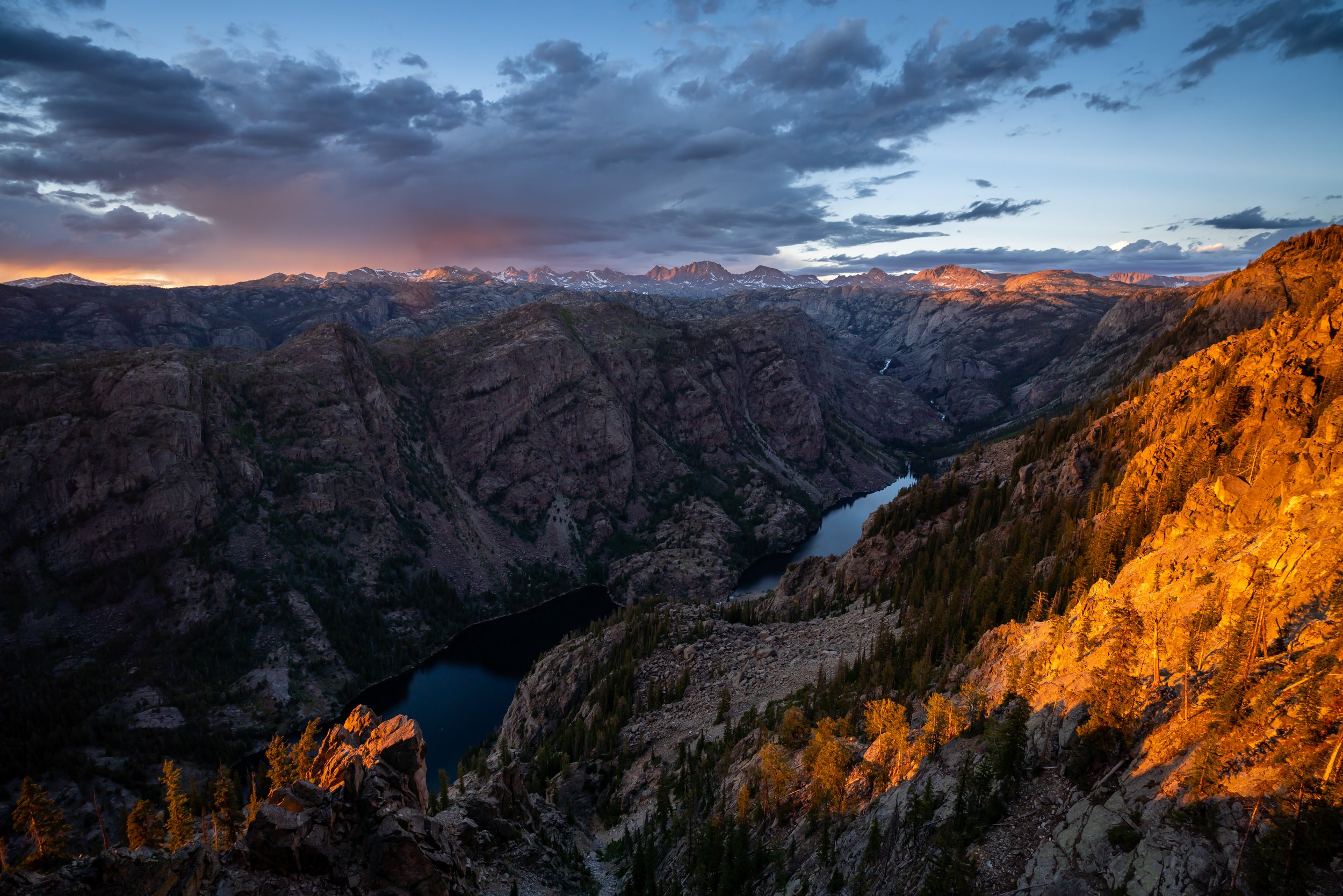
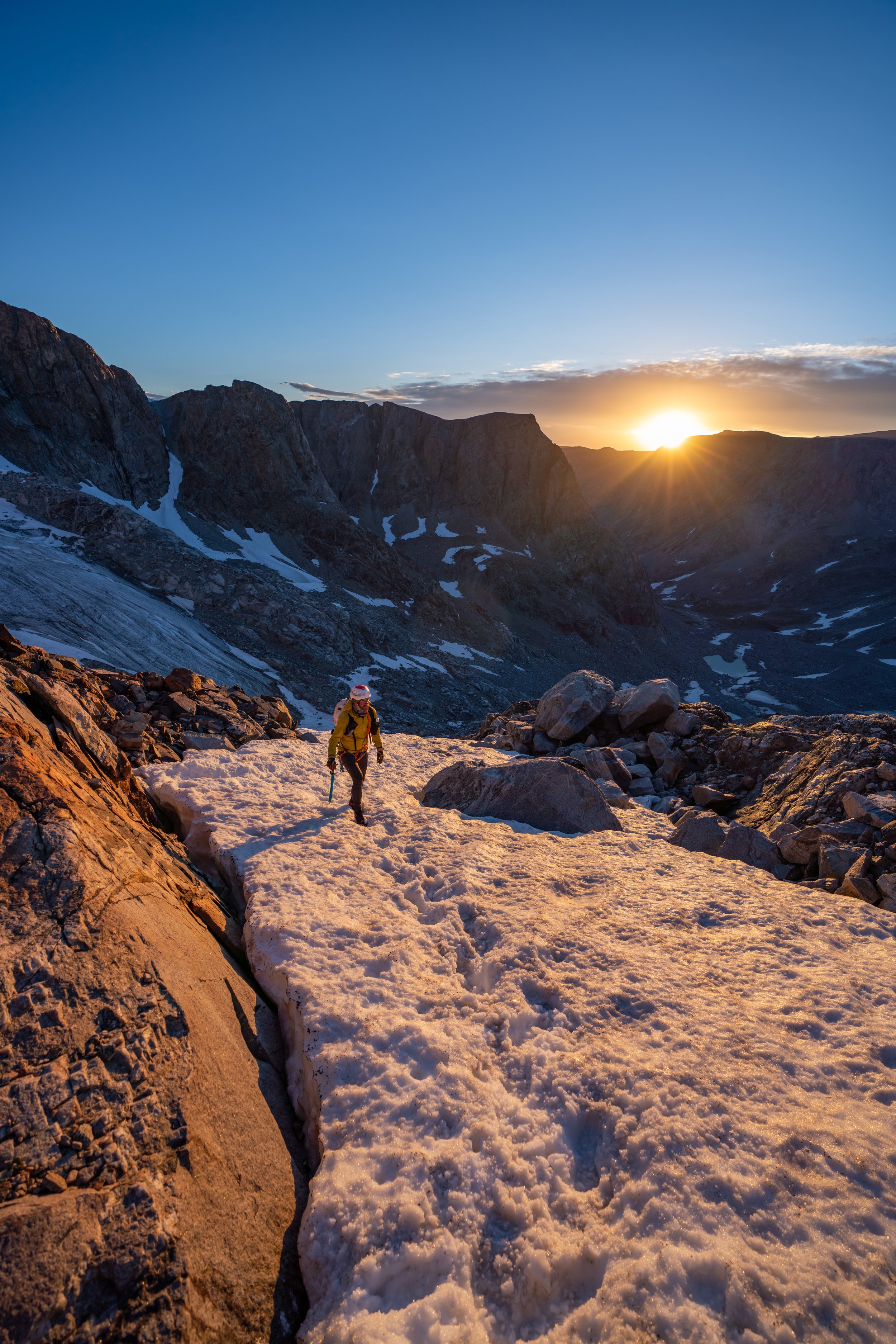
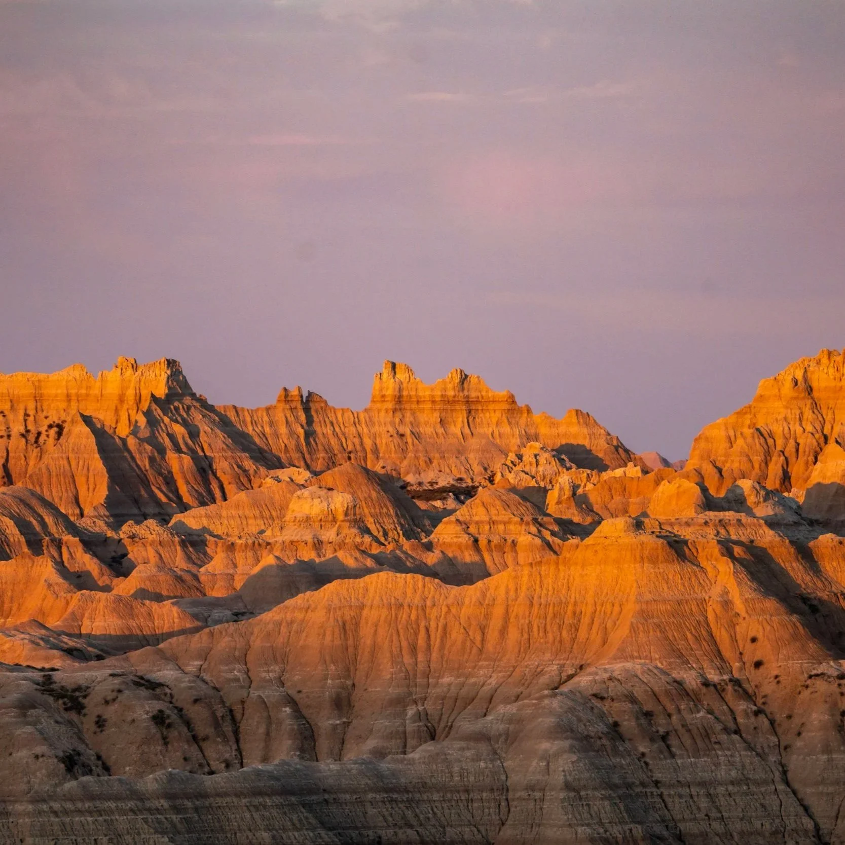
South Dakota


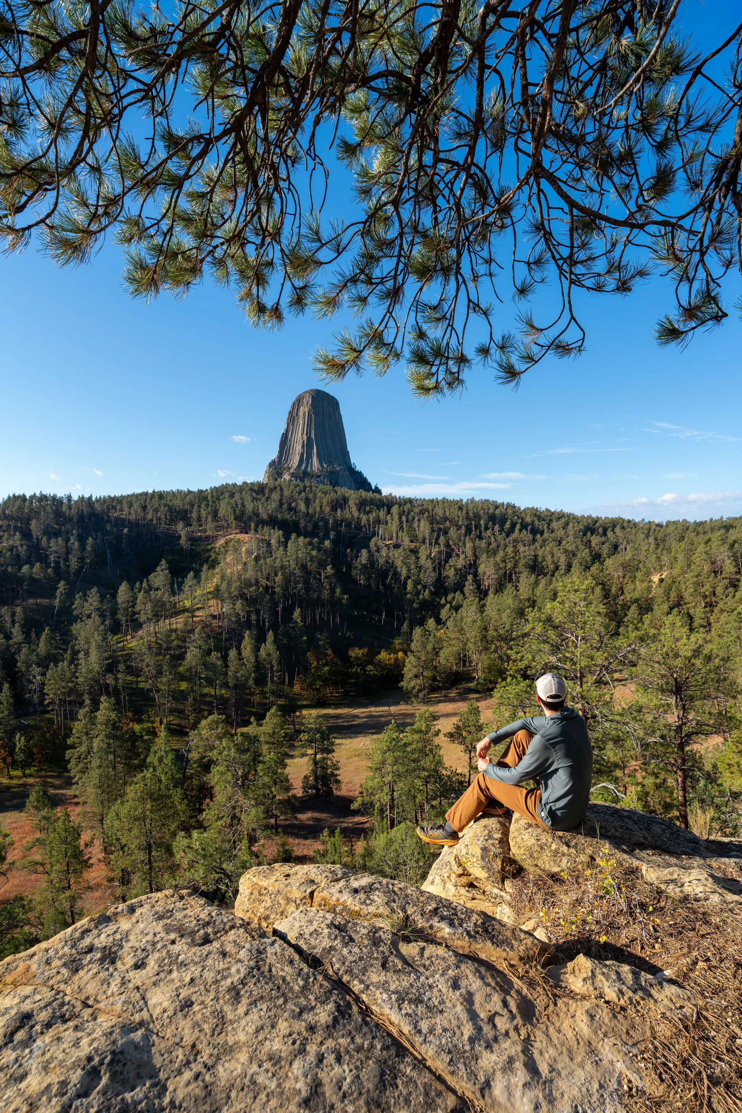
Wyoming