Hiking the Buzzards Roost Trail in the Black Hills, South Dakota
Distance (Full Loop): 2.9 miles / 4.7 km
The Buzzards Roost Trail in the Black Hills of South Dakota is a short and easy day hike that leads to a beautiful panoramic viewpoint just outside of Rapid City!
That said, the Buzzards Roost Trail is one of the best kid-friendly adventures in the Black Hills, as the elevation gain is never all that steep, regardless of which direction you decide to hike the loop up to the upper ridge.
This is what also makes the Buzzards Roost Trail a great place to trail run in the Black Hills—not to mention, the beautiful southwest-facing viewpoint at the top is one of the best places to catch sunset on a clear night, as the hike down the quickest route is only 1.3 miles (2.1 km) total!
Buzzards Roost Trailhead Parking
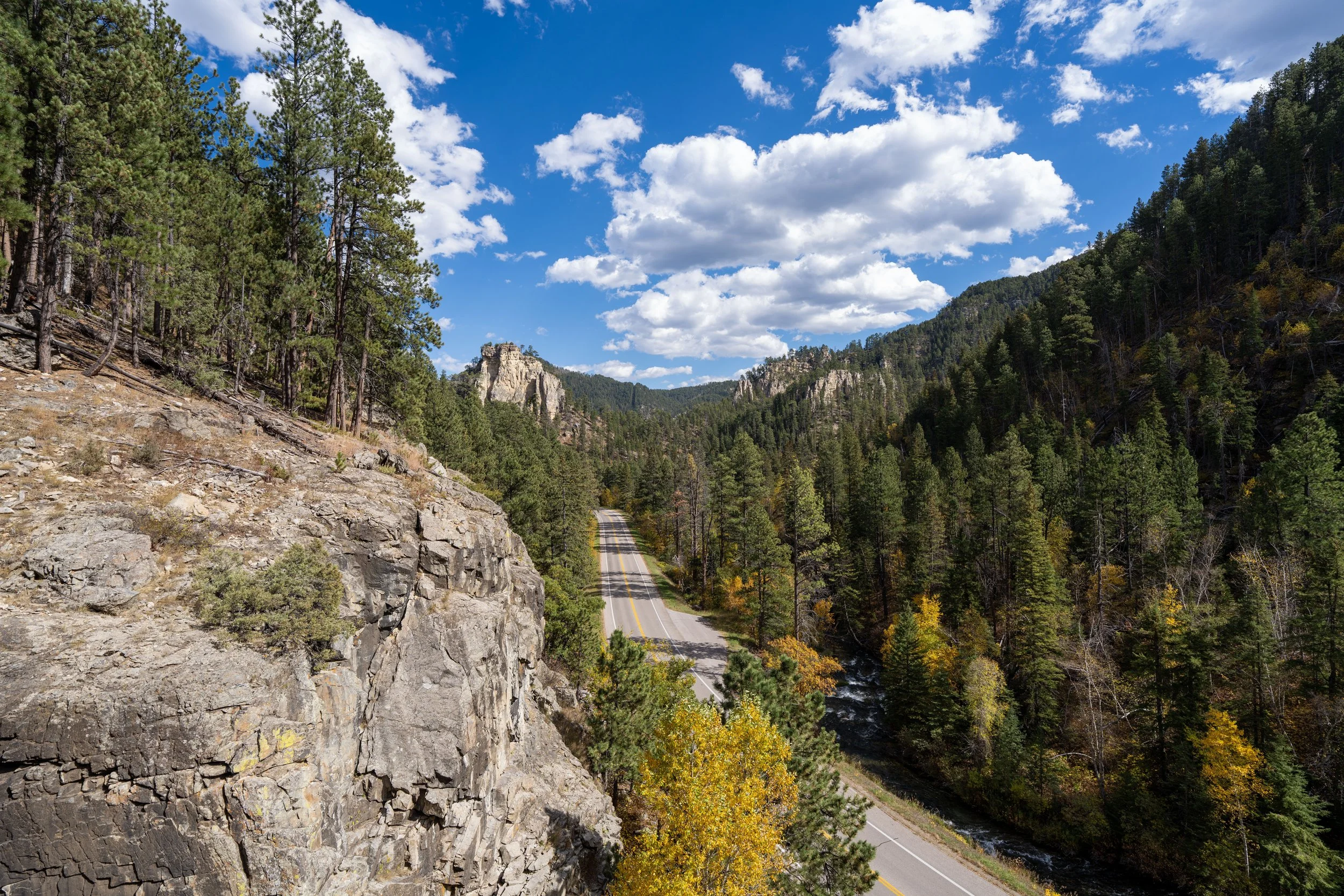
Parking for the Buzzards Roost Trail is located in a fairly large dirt parking lot directly off Highway 44, about 8.7 miles (14.0 km) west of downtown Rapid City.
Google Maps Directions: Buzzards Roost Trailhead
Hiking Checklist - South Dakota
According to the South Dakota Game, Fish and Parks (GFP) and the U.S. Forest Service, there are Black Bears in South Dakota, but encounters are considerably rare.
That said, here is a complete list of must-have things that you will want for any hike in South Dakota.
Hiking the Buzzards Roost Trail
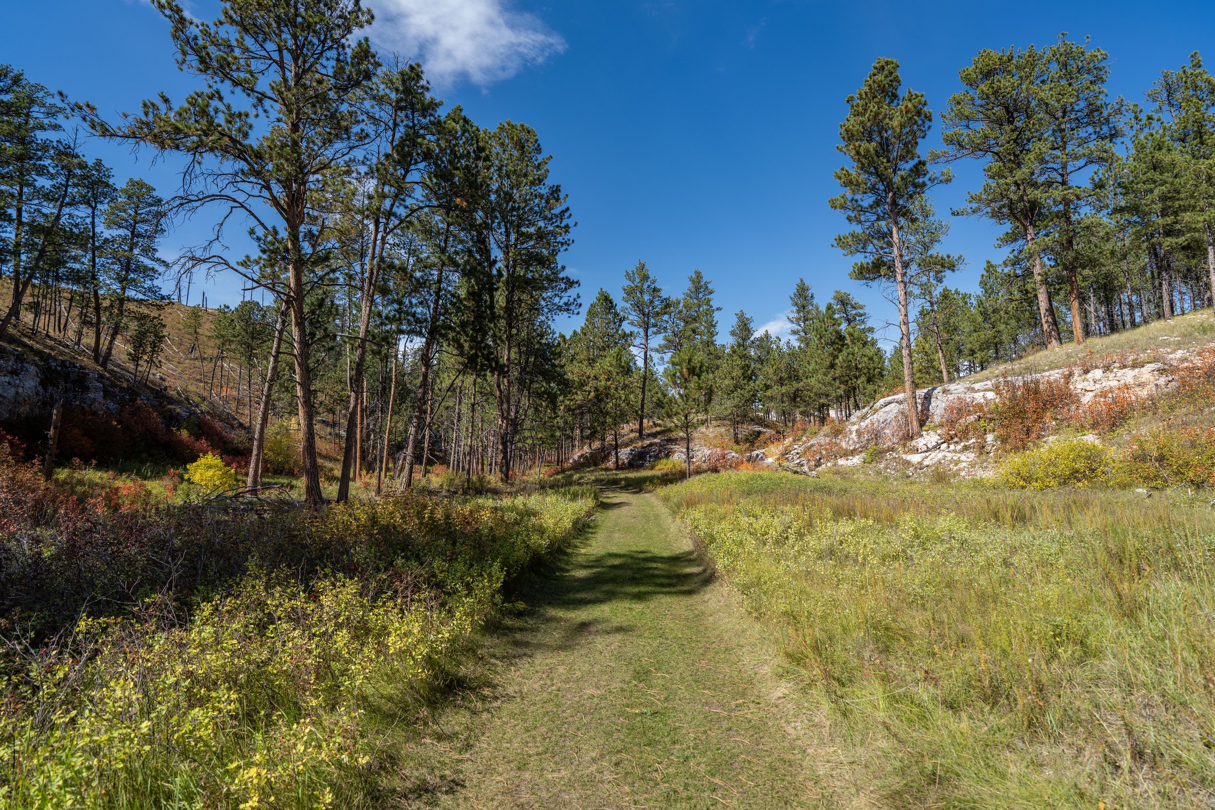
The Buzzards Roost Trail begins at a joint trailhead that serves a number of lesser-known side trails off the main loop, most of which are used for biking and trail running.
This is why the Buzzards Roost Trail can look confusing when looking at a map of the area, but there is one central path to follow up to the overlook, as all the side trails are trafficked far less than the main loop.
Immediately after beginning the Buzzards Roost Trail, the main path reaches the first of the many side trails.
That said, this article follows the two most popular and direct routes up to the viewpoint, with the best route going straight (left) on the wider path.
After the initial split, the Buzzards Roost Trail continues uphill on the main path for about 0.4 miles (0.6 km) until it reaches the start of the loop.
Lower Buzzards Roost Loop Junction
This is where the Buzzards Roost Trail splits after the first 0.4 miles (0.6 km), with either path leading up to the Buzzards Roost Overlook.
That said, it is most common to go right on the slightly longer side of the loop, because this half climbs a number of switchbacks to the upper ridge, while the path on the left is more direct but steeper.
If you plan to do both, I recommend going right, because the trail on the left makes for a great quick and easy return hike on the way down.
Regarding my thoughts above, I chose to go right to begin the switchbacks to the upper ridge.
In total, there are 7 switchbacks that gain roughly 210 ft. (64 m) on the hike to upper ridge, the same junction where both sides of the loop come together again.
This split is the second of many side trails below Buzzards Roost, which simply serves as a connector to the east side of the loop.
That said, go right to stay on the more obvious trail heading uphill.
This is about as steep as the Buzzards Roost Trail gets, which is why trail running the loop can be such a great option!
Even though the elevation gain on either side of the loop isn’t all that steep, some hikers may want to use trekking poles on the Buzzards Roost Trail, especially when there is snow during the colder off-season months.
After reaching the sixth switchback, the uphill on the hike to the upper ridge levels off from the steepest parts just shown.
This is the seventh and final switchback on the hike up the Buzzards Roost Loop to the upper ridge.
Upper Buzzards Roost Loop Junction
This is where the west (right) side of the Buzzards Roost Loop meets with the route from the other direction, and it’s where the two continue up to the summit as one trail.
From here, go right to continue hiking up to Buzzards Roost, about 0.5 miles (0.8 km) from this point.
After just 0.1 miles (0.2 km), go left at the next split to continue up the ridgeline to Buzzards Roost.
From this point to the summit, there are no more junctions in the Buzzards Roost Trail.
The final few switchbacks up the Buzzards Roost Trail are much more gradual than those on the west side of the loop shown previously.
Always remember to hike with good sun protection in the Black Hills, as Ponderosa Pines are not known for providing the best shade, especially at higher elevations across western South Dakota.
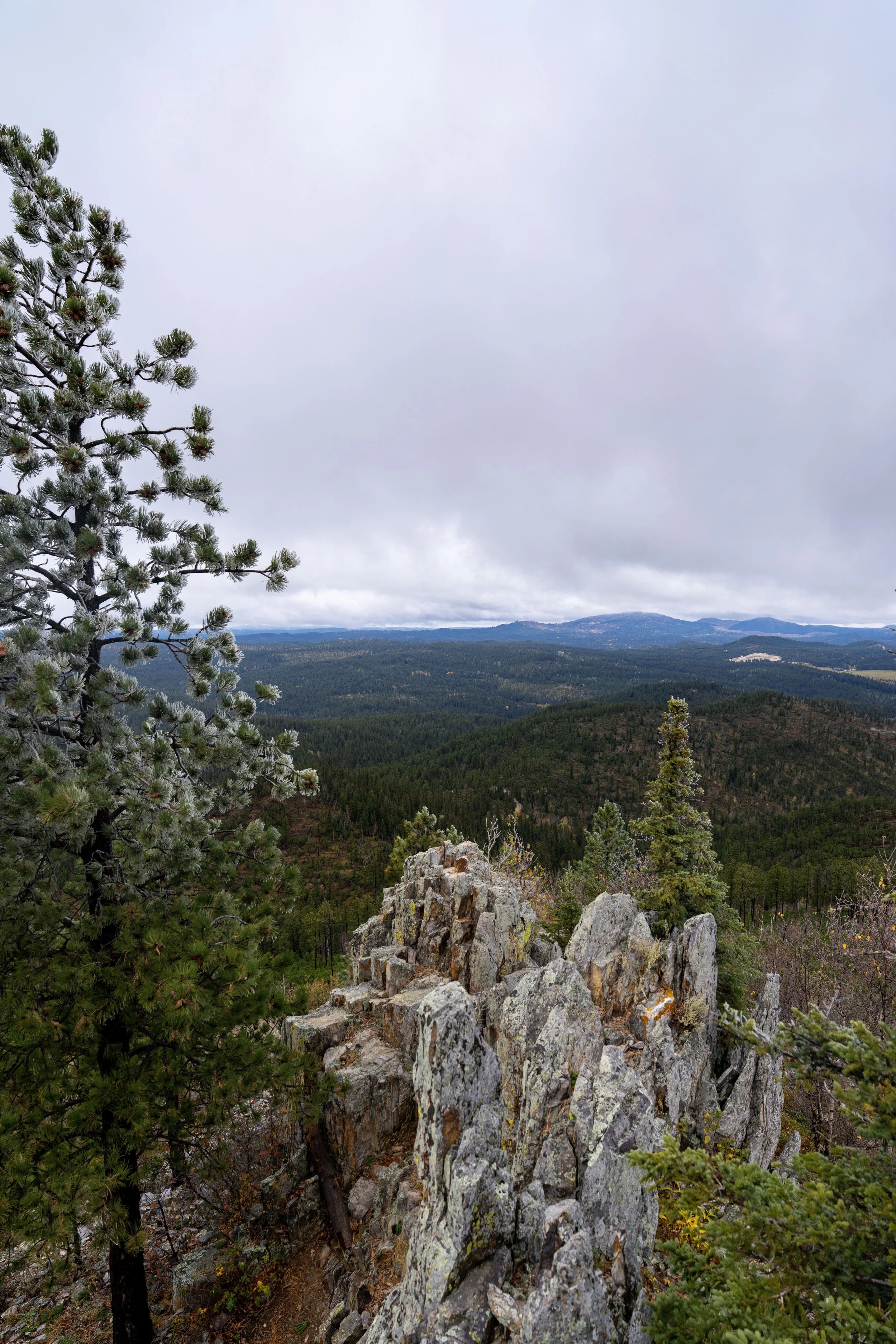
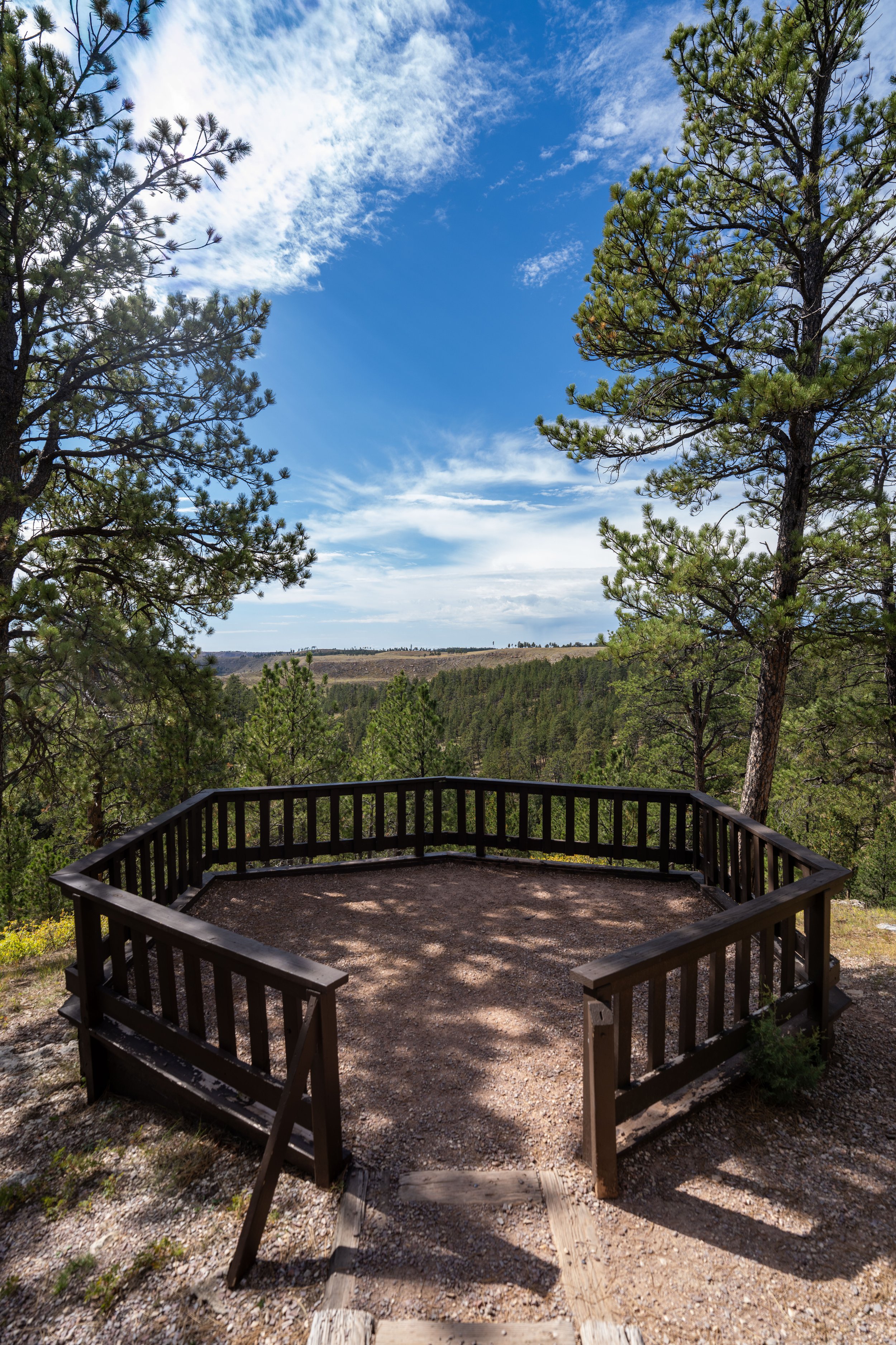
Buzzards Roost
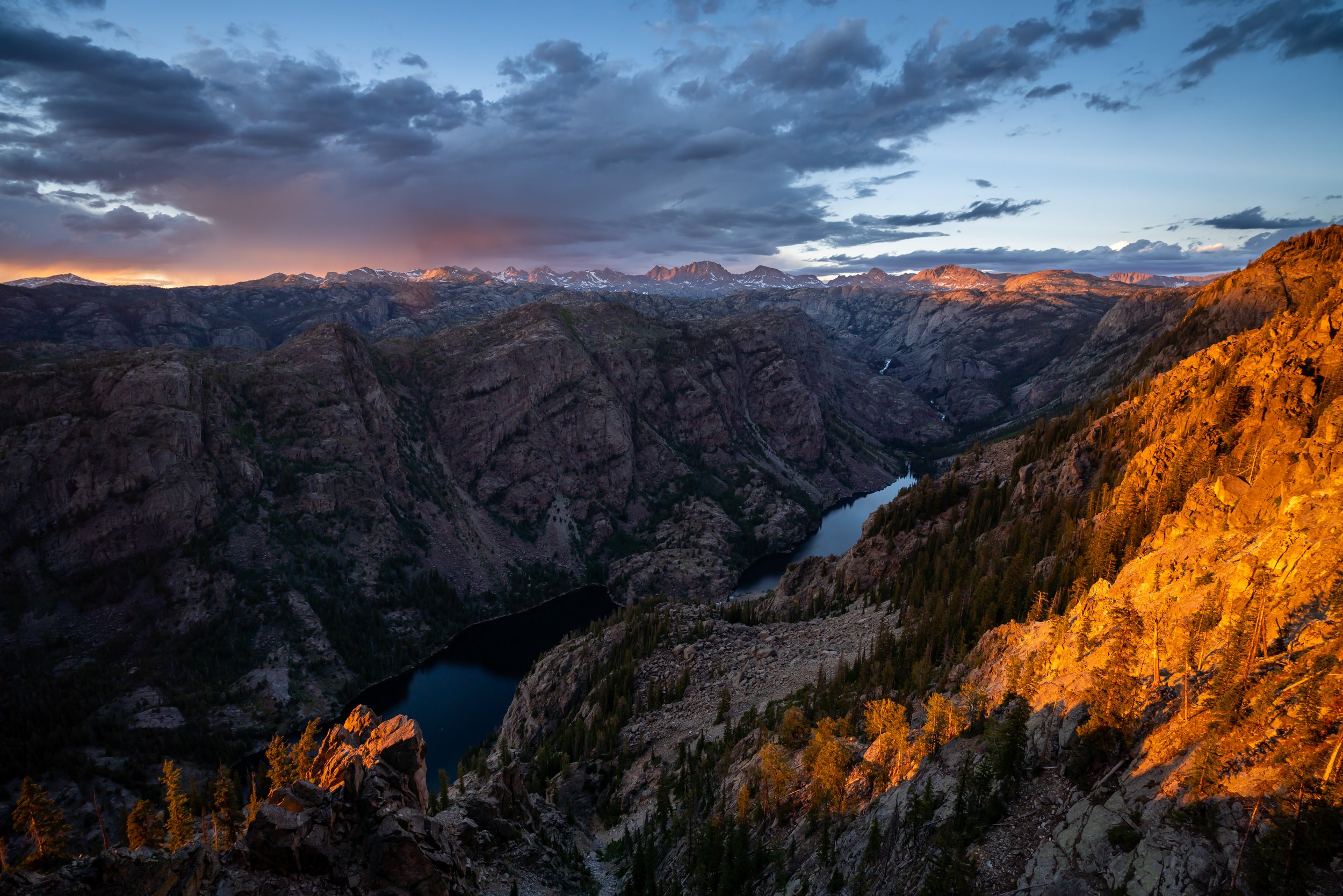
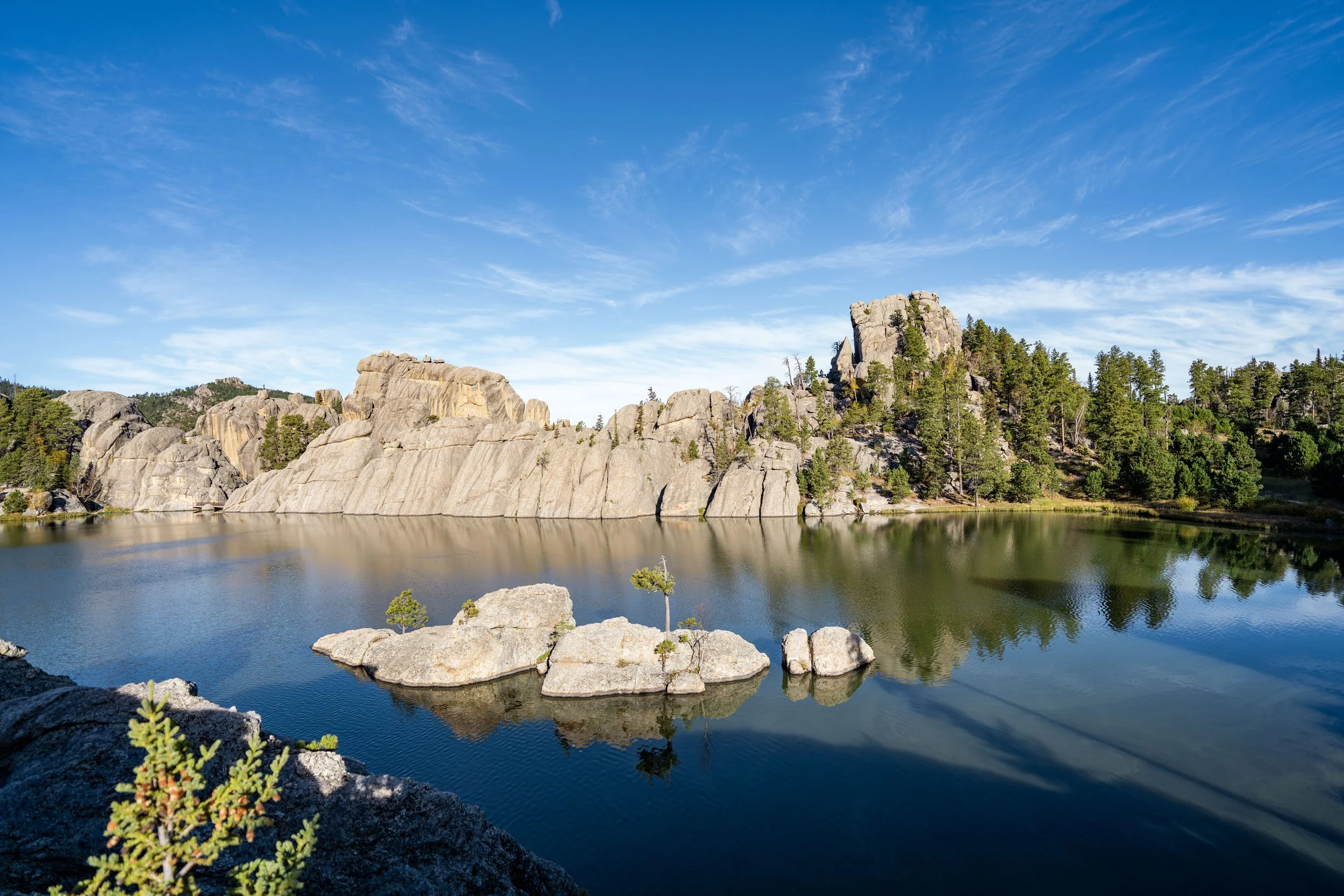
This rocky outcropping is Buzzards Roost, which overlooks much of the central Black Hills, including views as far away as Black Elk Peak on a clear day!
In addition, this panoramic viewpoint to the southwest is one of the best year-round sunset spots near Rapid City, which is even more true as the hike back down the most direct route is only 1.3 miles (2.1 km) total.
If hiking Buzzards Roost for sunset is something you’re considering, be sure to hike up with a good headlamp, which can certainly be useful here and for countless other sunset hikes across the Black Hills, like the Little Devils Tower Trail in Custer State Park.
Upper Buzzards Roost Loop Junction
On the hike back down, there’s either the option to go left to return on the switchbacks shown at the beginning of this article or straight to return on the other side (east side) of the loop, which is the most direct route.
With that in mind, the hike back to the trailhead by going left is 1.1 miles (1.8 km) total, while the hike going straight is only 0.8 miles (1.3 km) from this point.
I chose to go straight to begin hiking down the east side of the Buzzards Roost Loop Trail.
After a little less than 0.2 miles (0.3 km), the Buzzards Roost Trail leaves the upper ridgeline to start heading back down to the beginning.
That said, go left to continue hiking down the east side of the Buzzards Roost Loop.
After leaving the upper ridge, the Buzzards Roost Trail simply heads directly downhill to the initial split, located just 0.4 miles (0.6 km) from the trailhead.
During the winter, micro-spikes and possibly snowshoes may be necessary to hike the Buzzards Roost Trail safely, though the views from the summit would definitely be worth the effort, with the Black Hills under a blanket of snow!
Lower Buzzards Roost Loop Junction
This is where the east side of the Buzzards Roost Loop returns to the initial split shown at the beginning.
From here, go straight (right) to return to the trailhead off Highway 44.
South Dakota


Wyoming