Hiking the Canyons Trail in Jewel Cave National Monument in the Black Hills, South Dakota
Distance: 3.6 miles / 5.8 km
The Canyons Trail, also called the Canyons Loop Trail, in Jewel Cave National Monument in the Black Hills of South Dakota is an easy day hike through two different valleys, or canyons, within the National Monument that makes for a great way to spend a little time at Jewel Cave, either before or after a guided cave tour.
That said, I recommend giving yourself at least 60–90 minutes to hike the loop if this is something you’re considering before a scheduled tour. This way, you arrive back at the Jewel Cave Visitor Center with plenty of time before your tour, and know that if you aren’t present by the time the tour is supposed to leave, it will depart without you!
If you are unsure whether you have the time to complete the loop, I recommend talking with one of the rangers before setting off.
All this aside, the Canyons Trail is truly a quick and easy loop through some of the least-traveled parts of Jewel Cave National Monument, and it’s also a great option for those who aren’t planning to book the Historic Lantern Tour, as it passes the same Historic Jewel Cave Entrance where the Lantern Tour begins.
Canyons Trailhead Parking
Parking for the Canyons Trail is located in one of two places.
First, hikers can park at the Jewel Cave Visitor Center, which is the most popular area to park, as this is where the Scenic Cave Tours leave.
Alternatively, there is the option to park at the Jewel Cave Historic Ranger Cabin, just 0.9 miles (1.4 km) down Highway 16 from the turn into the visitor center. This is a much less crowded area from which to begin hiking the Canyons Loop.
Google Maps Directions: Canyons Trailhead (Visitor Center) / Canyons Trailhead (Cabin)
Hiking Checklist - Jewel Cave
According to the National Park Service, encounters with Black Bears are incredibly rare at Jewel Cave.
That said, here is a complete list of must-have things that you will want for any hike in Jewel Cave National Monument.
Hiking the Canyons Trail
The Canyons Trail begins at the Roof Trailhead, which can be found on either side of the Jewel Cave Visitor Center.
That said, this article follows the loop in the clockwise direction, which is the most popular direction to hike the Canyons Trail.
To skip ahead to the start of the Canyons Trail, click here.
Canyons Trailhead
This is the left (south) side of the visitor center where the trailhead that serves both the Roof Trail and the Canyons Trail can be found.
For the first 0.9 miles (1.4 km), the Canyons Trail is an almost all-downhill hike, losing roughly 300 ft. (91 m) until it reaches the junction for Hells Canyon, the same junction the loop leaves Lithograph Canyon behind.
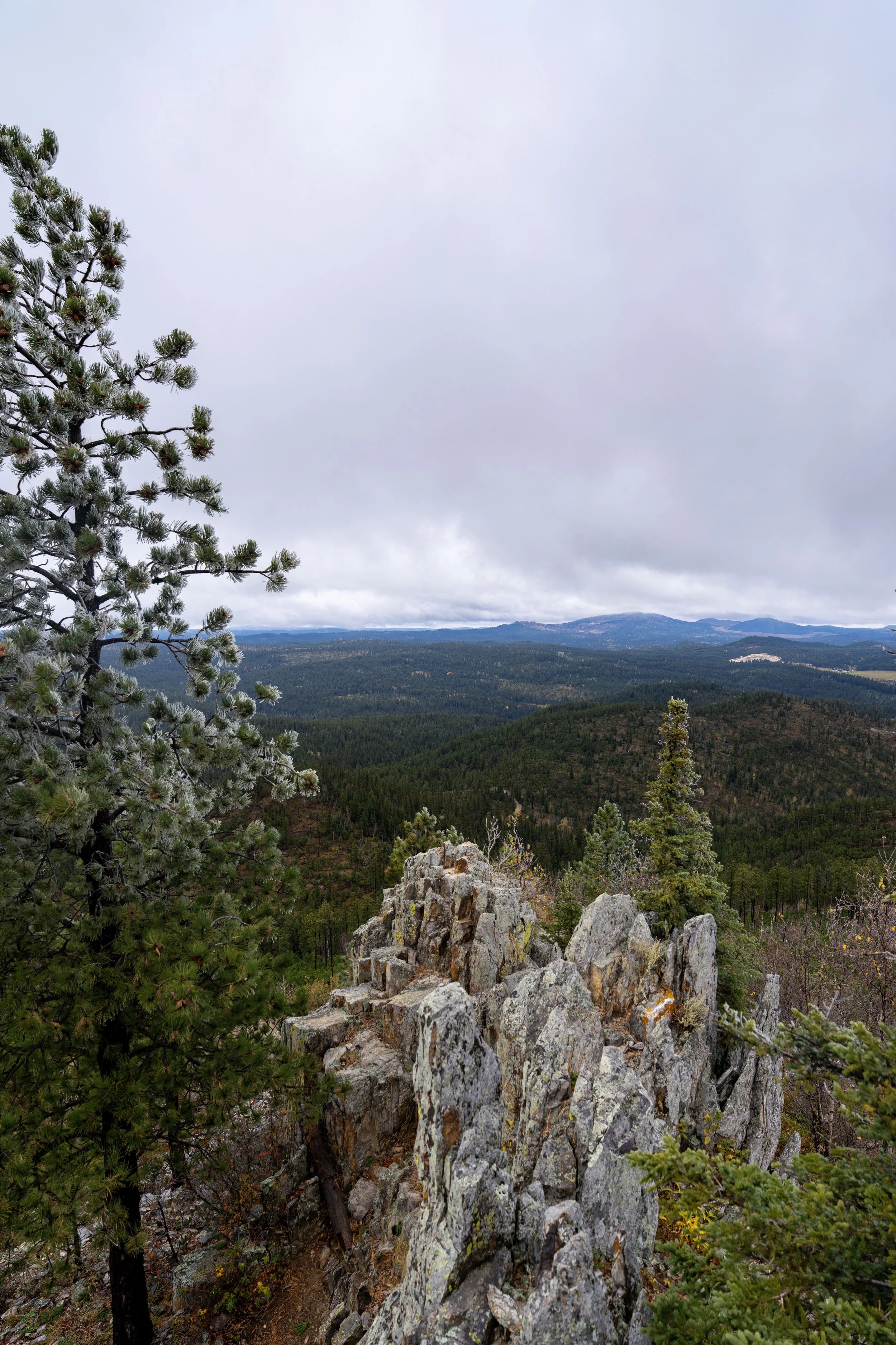
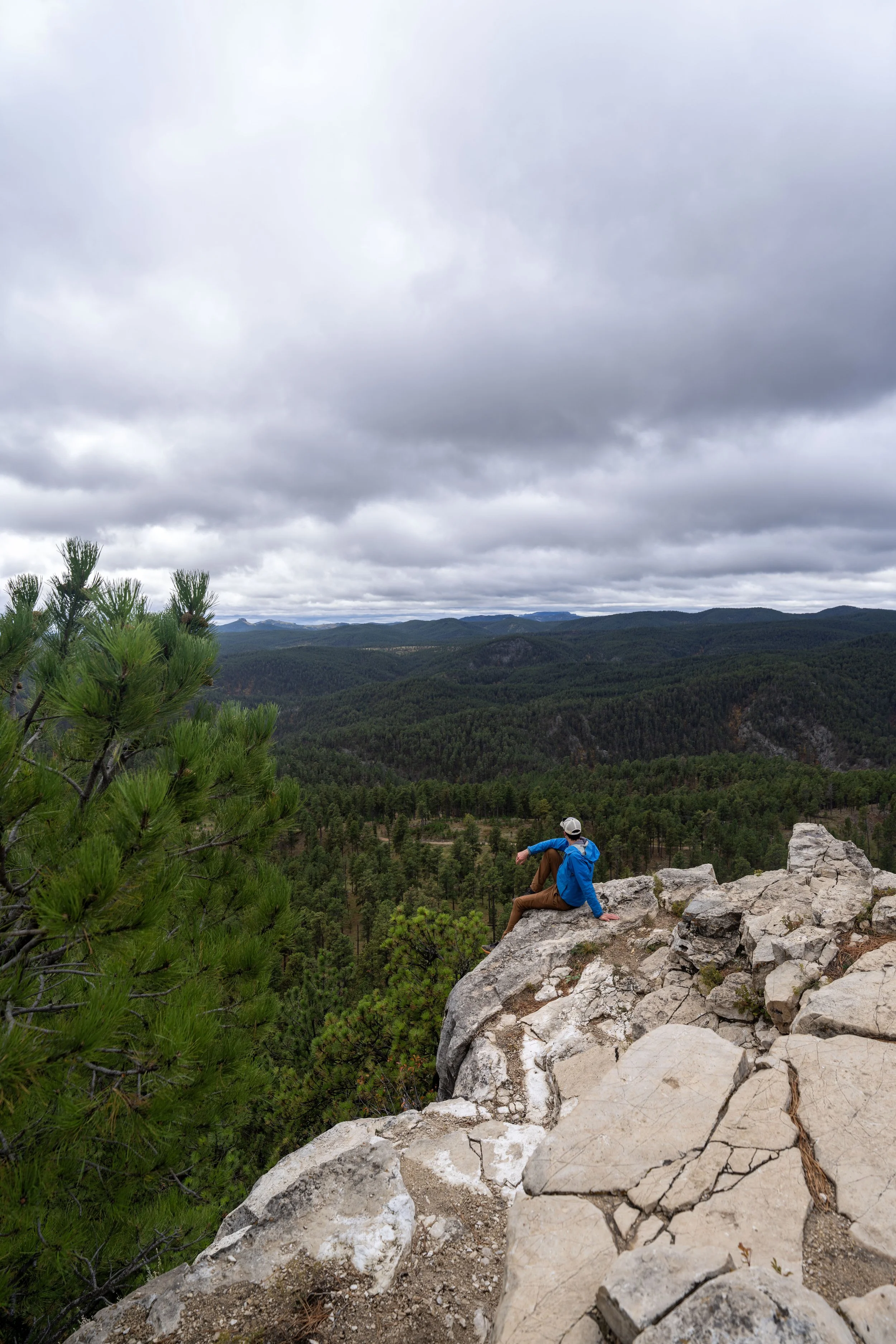
This southwest-facing viewpoint is the main overlook on the Roof Trail, as the rest of the short loop simply winds its way back through the Ponderosa forest to the visitor center.
South Canyons-Roof Junction
This is where the Canyons Trail leaves the Roof Trail and the Jewel Cave Visitor Center area behind to begin heading down to Lithograph Canyon.
Once here, go left at this junction to begin hiking the true Canyons Trail.
Read My Separate Post: Roof Trail
Once on the true Canyons Loop, the trail will descend 6 switchbacks to reach the bottom of Lithograph Canyon.
The descent down these switchbacks on the south side of the Canyons Loop is steeper than the climb back up to the visitor center on the other side.
I mention this to say that hiking the Canyons Trail clockwise is easier than beginning at the other trailhead, since the ascent back out of Hells Canyon on the north side of the loop is more spread out compared to these switchbacks.
North Canyons-NF 277 Junction
This junction with National Forest Road 277 is where the Canyons Trail reaches the bottom of Lithograph Canyon.
From here, go right to continue on the Canyons Trail toward the junction with Hells Canyon.
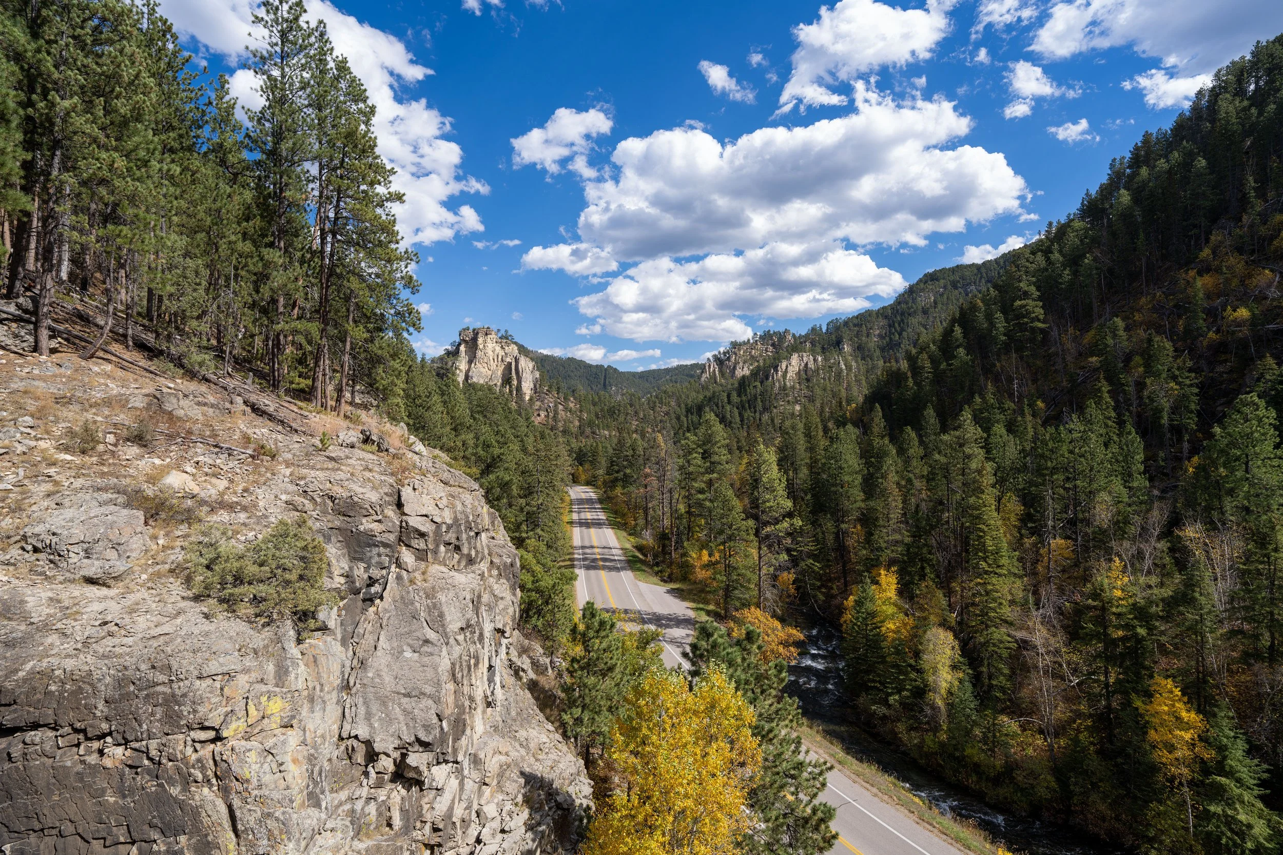
Lithograph Canyon
This next section through Lithograph Canyon will follow NF 277 for roughly 0.2 miles (0.3 km) to the lowest point of the entire hike, near the junction with Hells Canyon.
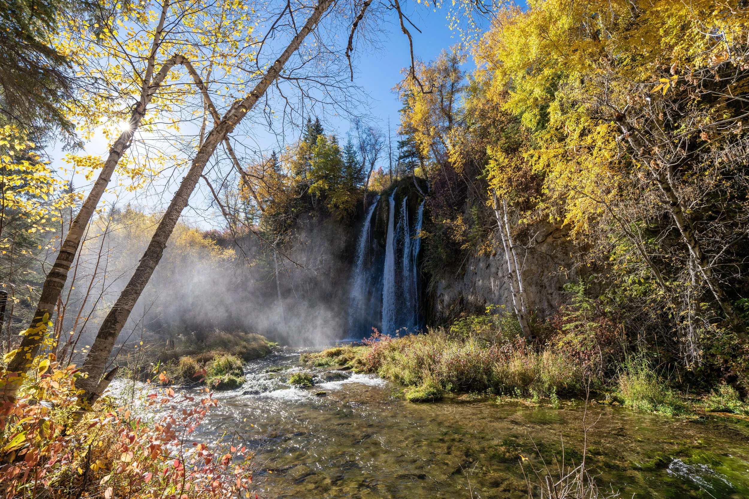
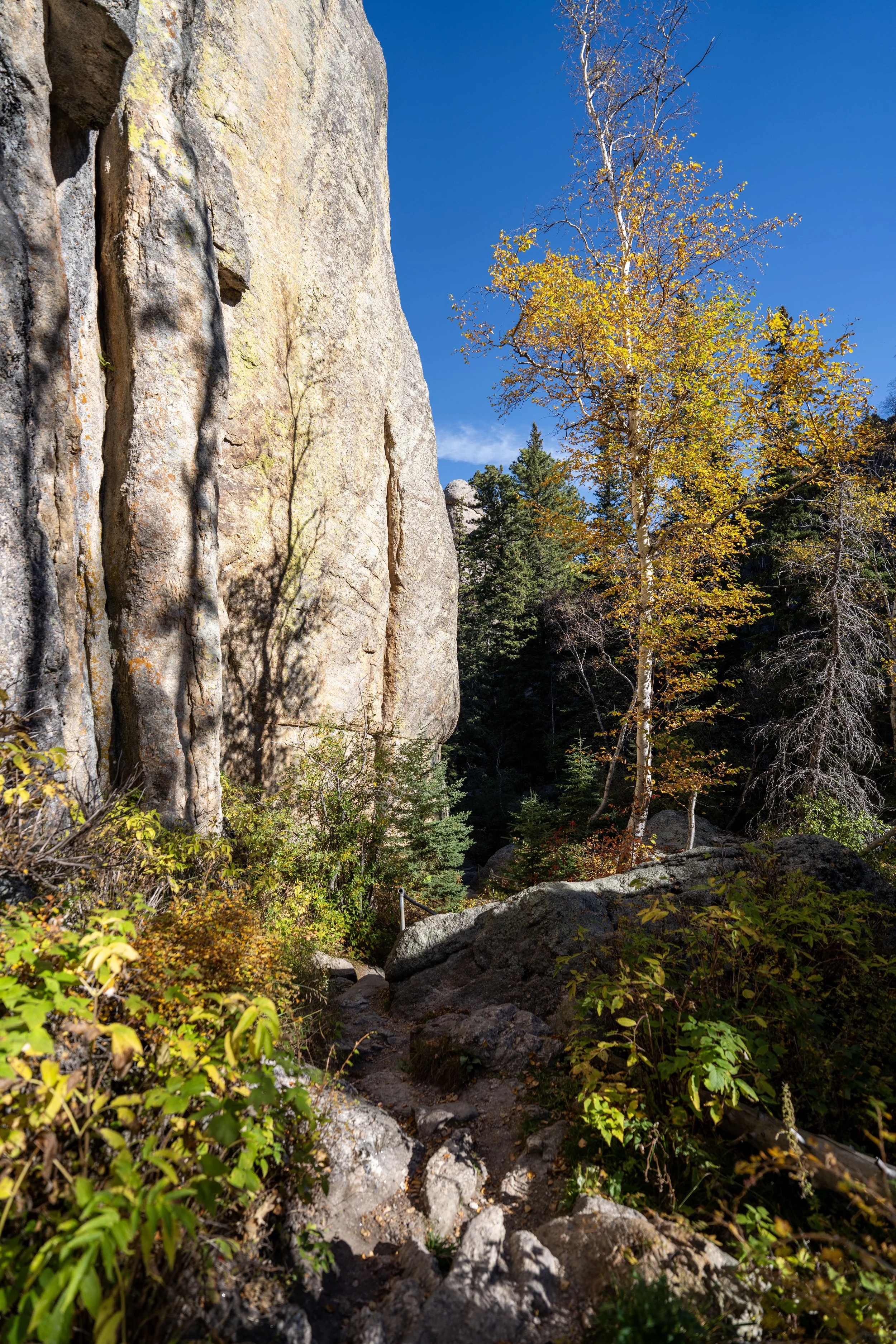
This first stretch through Lithograph Canyon is where I found some of the best fall colors on the entire Canyons Loop Trail.
South Canyons-NF 277 Junction
When the Canyons Loop splits again, go right to stay on the correct trail, as the path to the left is where NF 277 continues through Lithograph Canyon and leaves Jewel Cave National Monument.
Canyons-Sewage Ponds Junction
Almost immediately after the previous junction, the Canyons Trail splits once again.
At this one, go left to continue on the Canyons Loop Trail, as the path to the right leads up to the man-made sewage ponds on the ridge, which can be seen later in the hike.
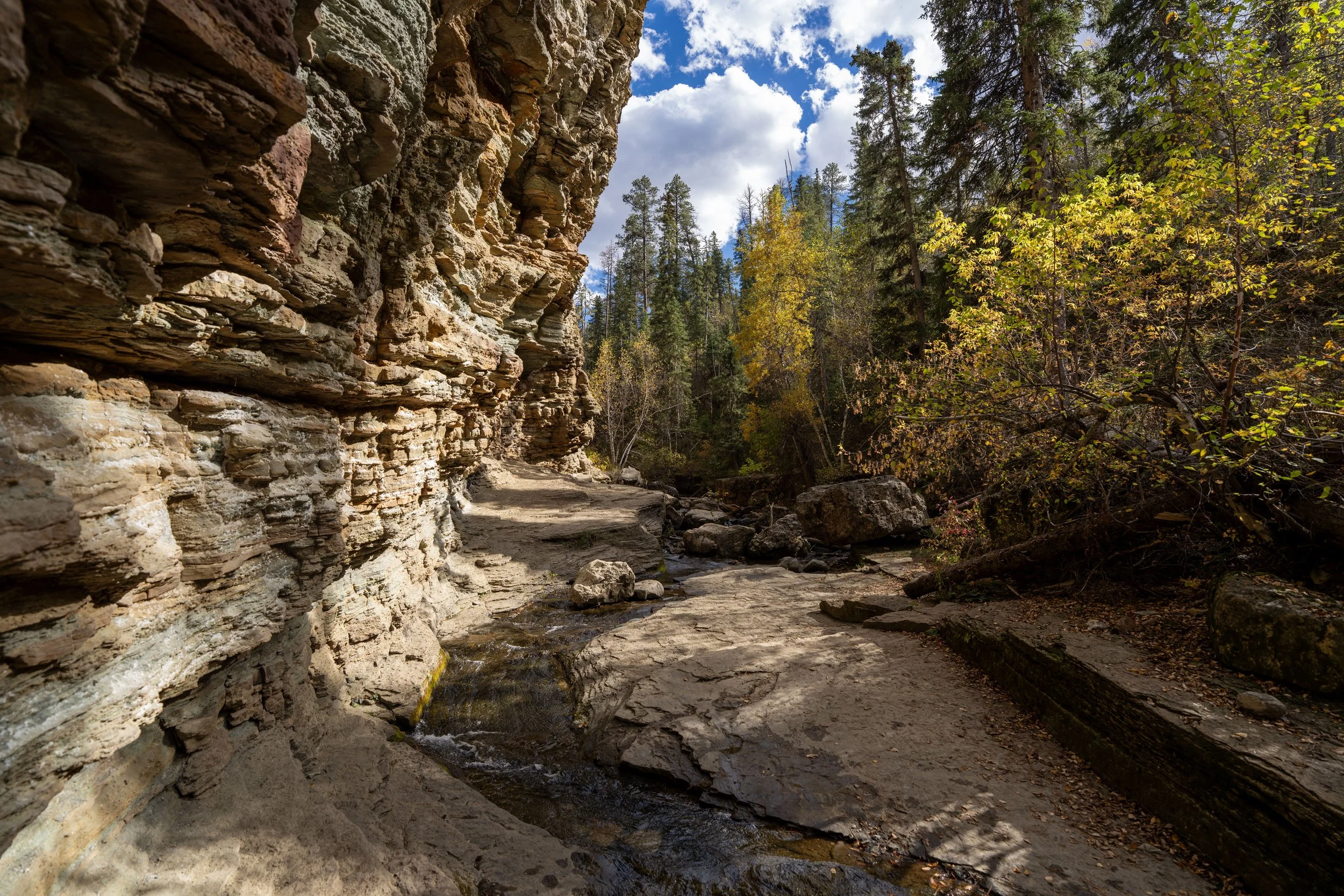
Hells Canyon
After the prior two junctions, the Canyons Trail simply winds its way through the lowest parts of Hells Canyon as it slowly makes its way over to the Historic Jewel Cave Entrance on the north side of the loop.
That said, this is the lowest point on the entire hike, but the elevation gain doesn’t become noticeable until the Canyons Trail makes a hard right turn to leave Hells Canyon.
Black Hills National Forest
This is where the Canyons Trail briefly leaves Jewel Cave National Monument before returning on the far side of the ridge.
Jewel Cave National Monument
After about 0.2 miles (0.3 km), the Canyons Trail re-enters Jewel Cave National Monument.
If there’s one thing I hope these photos show, it’s that there is hardly any shade on much of the Canyons Trail.
This is why I highly recommend hiking the loop in a hooded sun shirt, and note that the burnt trees on the loop are from the August 2000 Jasper Fire, if that says anything about how slow this area has been in its recovery.
Since the elevation change, including the ascent back out of Hells Canyon, is relatively mild, the Canyons Trail is a great option for those looking for a good trail run in the Black Hills, especially when the loop is hiked clockwise, as shown here.
If you are interested in a shoe that works well for both hiking and trail running in the Black Hills, check out the ones I trust linked below.
As the Canyons Trail turns this corner to the north, the loop enters some of the most beautiful sections of the entire hike, covering roughly 0.6 miles (1.0 km) from this point to the junction that leaves Hells Canyon.
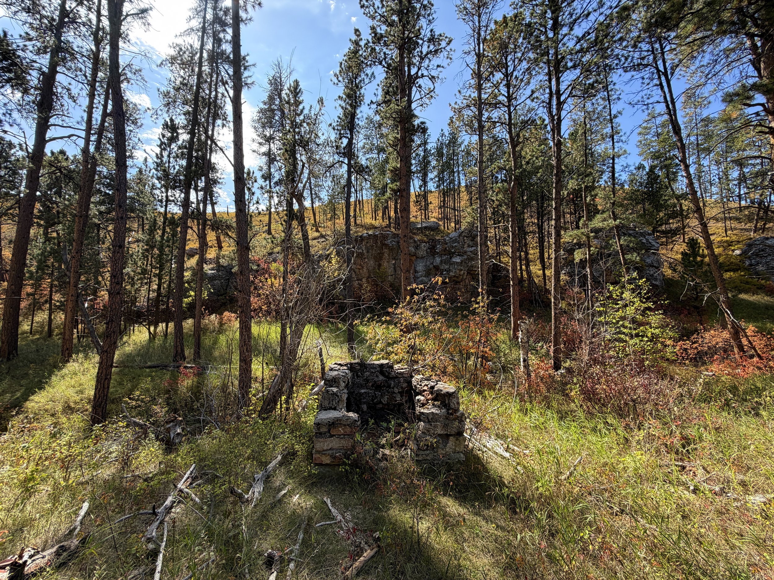
With about 0.4 miles (0.6 km) left before the trail leaves Hells Canyon, the loop passes the remnants of a building on the left-hand side of the road.
However, I couldn’t find very much detailed information from my own research about what it might have been historically.
Canyons Trail
Canyons-Hell Canyon Junction
This is where the Canyons Trail leaves the bottom of Hells Canyon to begin climbing back to the Jewel Cave Visitor Center.
That said, go right at this split to continue on the Canyons Trail, as the road heading straight simply leads out to Highway 16.
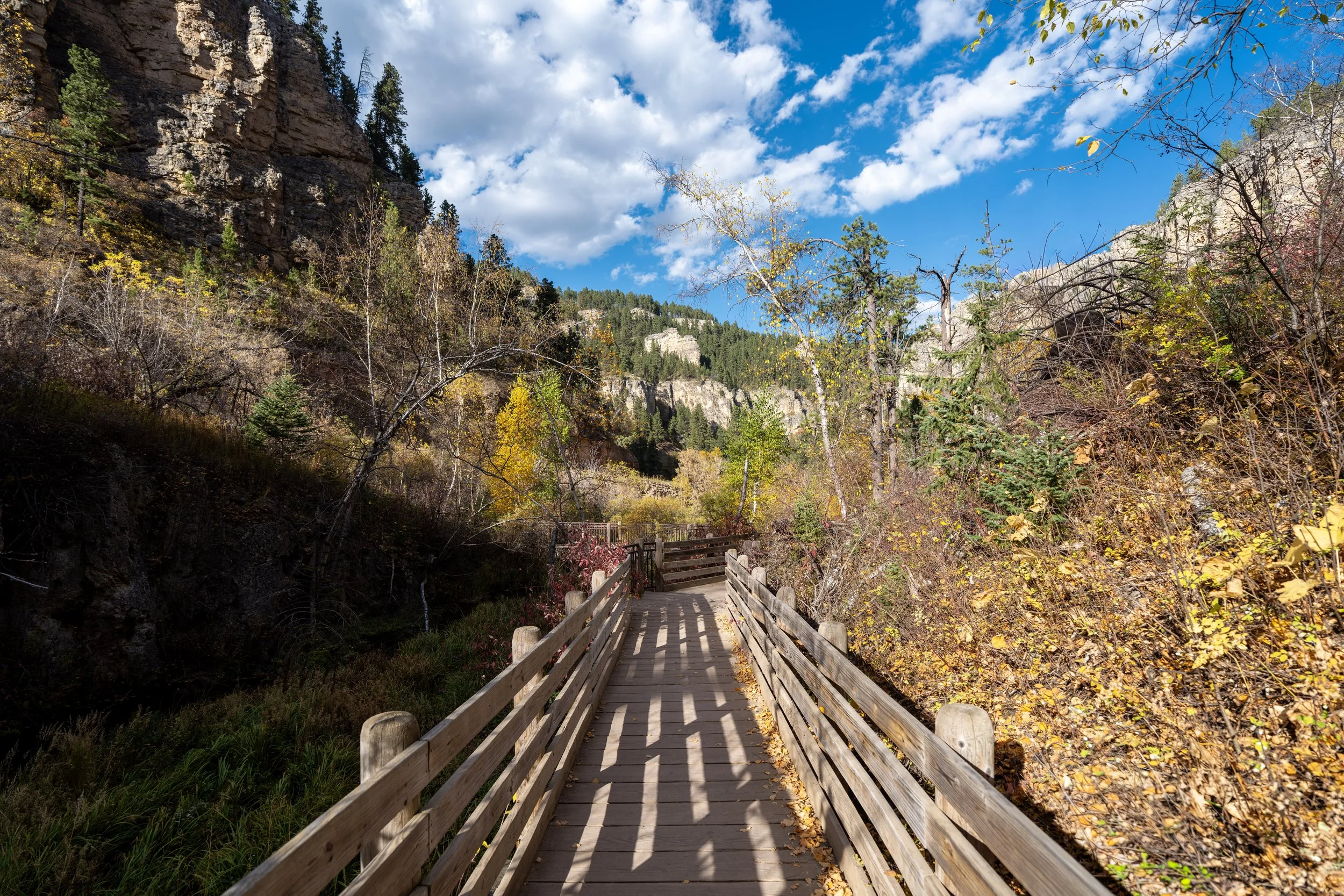
Historic Jewel Cave Entrance
When the Canyons Trail reaches this paved trail, the loop will pass three different cave entrances along the cliffside.
This first is the Historic Entrance to Jewel Cave, and it’s where visitors today begin the Historic Lantern Tour, which can be booked using the link below.
Book Here: Historic Lantern Tour
Just a few steps after the Historic Jewel Cave Entrance, the Canyons Trail will pass a second opening.
According to a personal statement I received from the National Park Service, they said this unnamed cave is "very short and does not connect with Jewel Cave. It has no speleothems but is home to a few packrats. The entrance is very unstable, which is the reason for the warning sign."
Bush’s Cave
The third and final entrance, before the Canyons Trail heads up the stairs to the Historic Jewel Cave Ranger Cabin, is the entrance to Bush’s Cave, named after Charles H. Bush.
That said, the National Park Service reports that Bush’s Cave is a separate, smaller cave that does not connect to the larger Jewel Cave network.
After the three entrances, the Canyons Trail will climb these stairs to the upper part of the cliffside, where the Historic Jewel Cave Ranger Cabin is located.
Jewel Cave Historic Ranger Cabin
After climbing about 110 ft. (34 m) from the bottom of Hells Canyon, the Canyons Trail passes the Jewel Cave Historic Ranger Cabin, a restored 1930s-era cabin that once served as housing and a workspace for early park rangers.
Thankfully, the cabin and all park buildings survived the Jasper Fire, which ignited just weeks after the cabin’s restoration on August 24, 2000.
After the Historic Ranger Cabin, the Canyons Trail passes the parking lot for the cabin, which is also the alternative parking area for the Canyons Trail mentioned at the beginning of this post.
From here, go right to stay along the south side of the parking lot to find where the loop continues on a service road just a short distance ahead.
This is the service road where the Canyons Trail continues on the other side of the parking lot.
Just a few steps after beginning the service road, the Canyons Trail branches away to the left to continue heading uphill to the Jewel Cave Visitor Center.
From this point, the trail gains roughly 150 ft. (46 m) over the next 0.3 miles (0.5 km) to the highest point on the entire loop.
These next few sections may seem steep, but in reality, the most challenging parts up the north side of the Canyons Loop doesn’t last very long.
When the sewage ponds become visible through the trees in the distance, the Canyons Trail will have reached the highest point on the entire loop, meaning the rest of the hike to the visitor center is mostly flat or downhill.
North Canyons-Roof Junction
With about 0.1 miles (0.2 km) left before the loop returns to the visitor center, the Canyons Trail once again returns to the Roof Trail, which it will follow for the remainder of the hike.
That said, go straight (left) to continue hiking back to the trailhead at the Jewel Cave National Monument Visitor Center.
Read My Separate Post: Roof Trail
Canyons-Jewel Cave Visitor Center Junction
At this final junction, there’s either the option to go straight, returning on the most direct route to the visitor center parking lot, or to turn right and continue on the Roof Trail to the Jewel Cave Visitor Center.
I chose to go right toward the visitor center to begin my scheduled cave tour.
Jewel Cave National Monument Visitor Center
This is where the Canyons Trail returns to the opposite side of the Jewel Cave Visitor Center from where this article began.
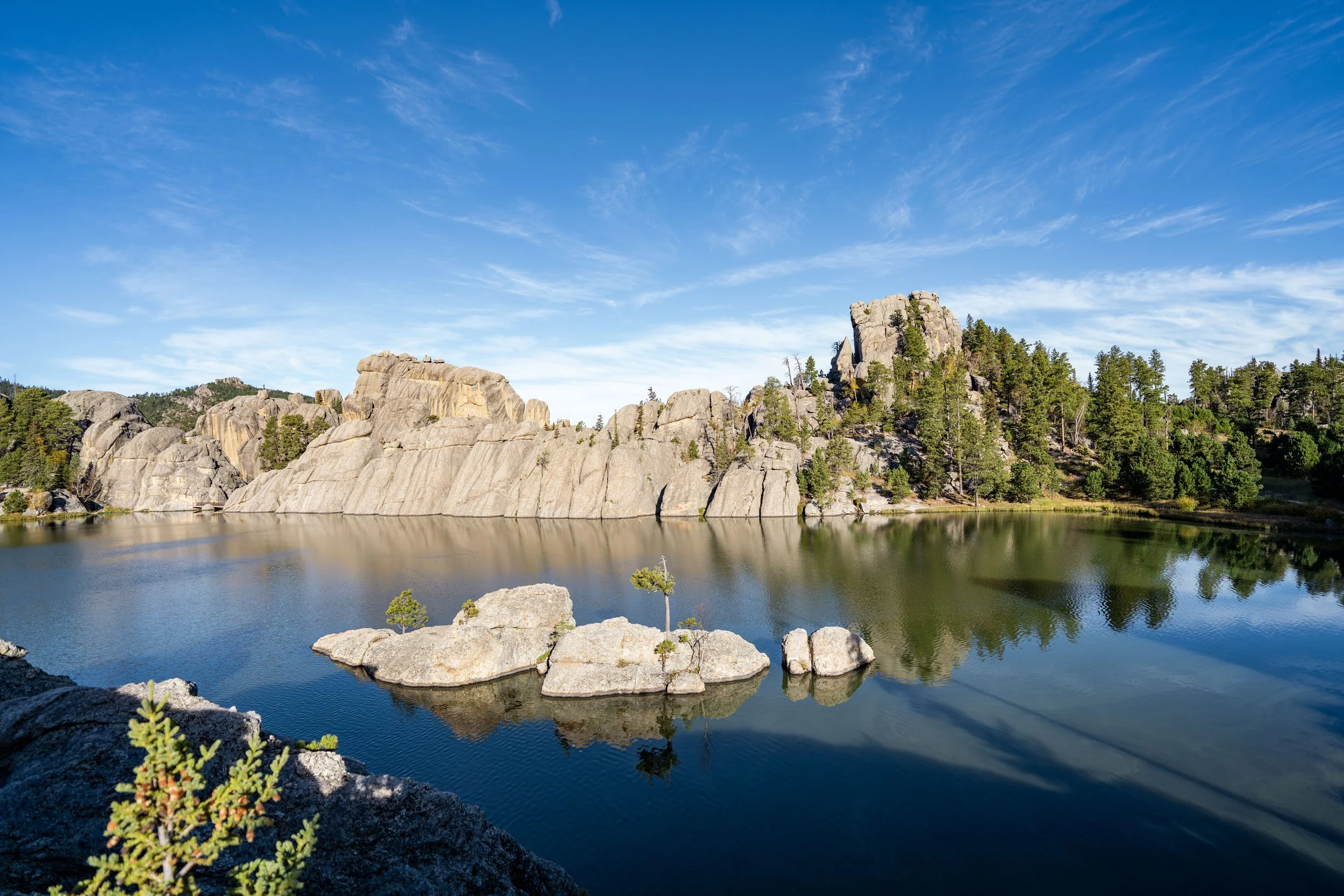
South Dakota
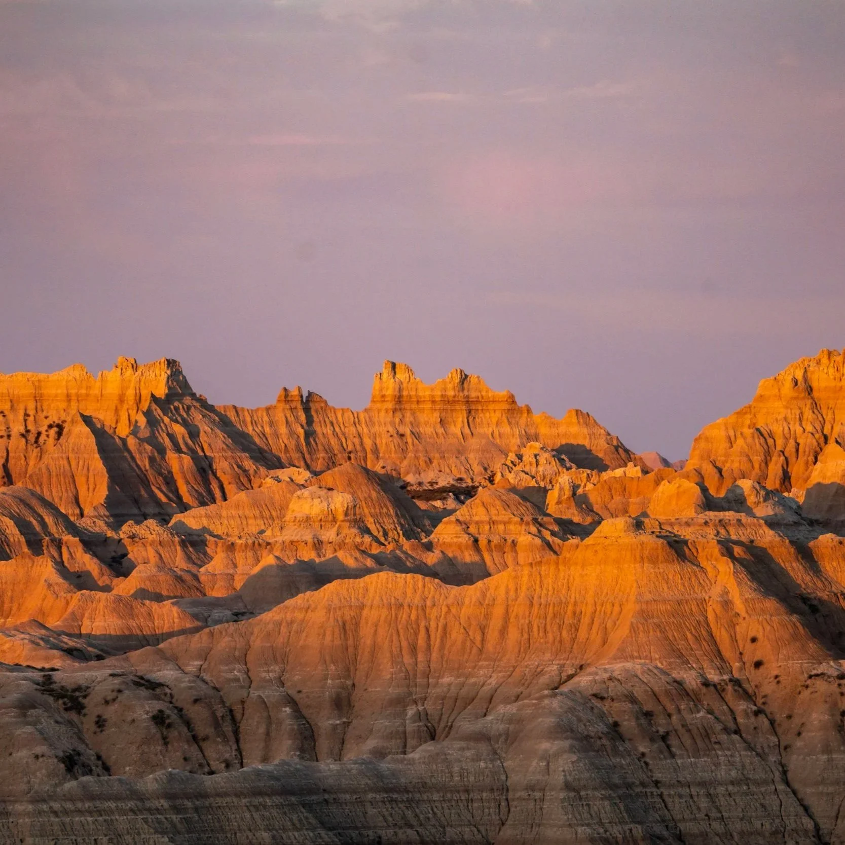

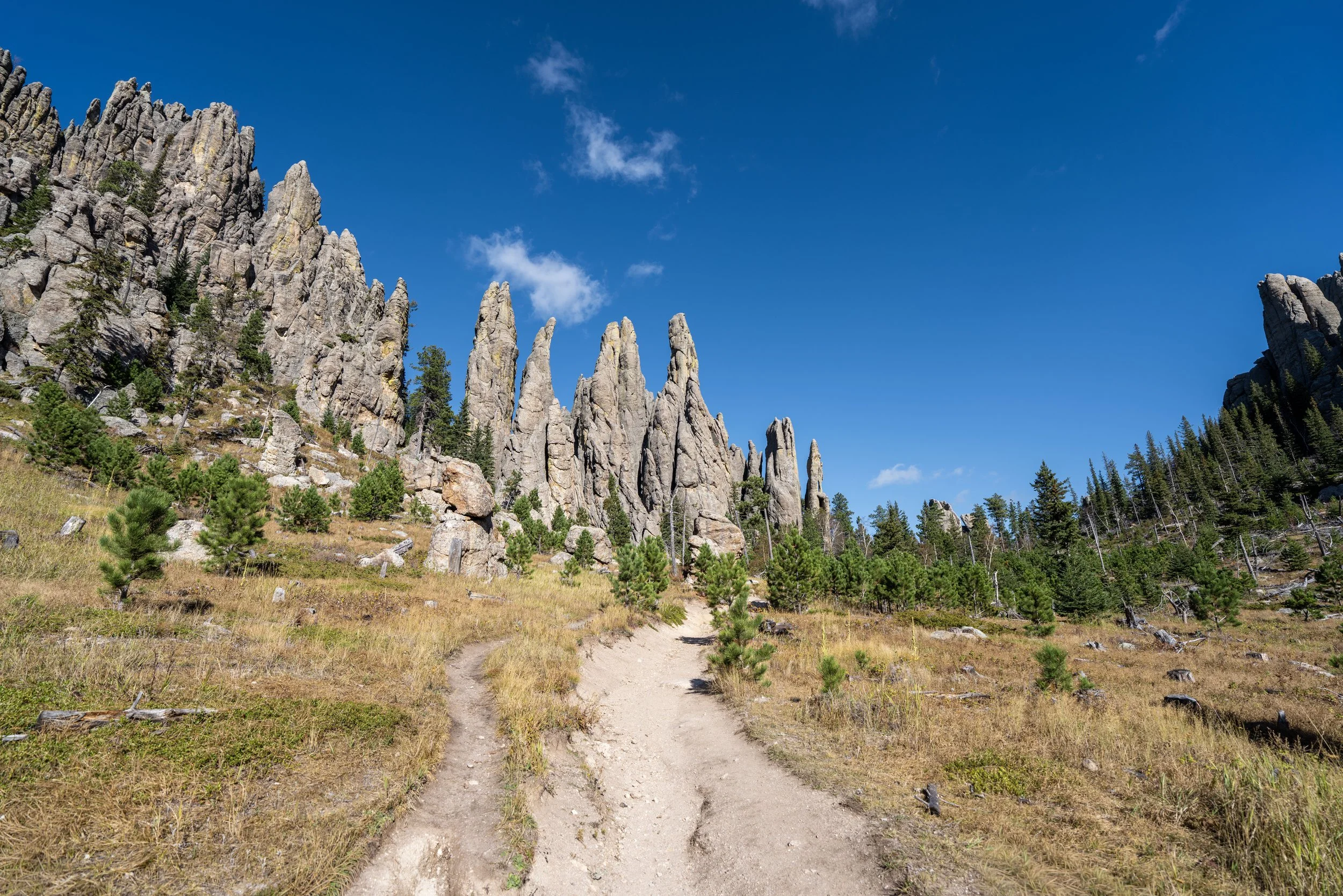


Wyoming