Hiking the Stratobowl Rim Trail in the Black Hills, South Dakota
Distance (RT to Stratosphere Bowl Overlook): 1.7 miles / 2.7 km
Distance (RT to Spring Creek Canyon Overlook): 2.2 miles / 3.5 km
The Stratobowl Rim Trail in the Black Hills of South Dakota is a quick and easy day hike along a service road that leads to an overlook above the Stratosphere Bowl, famously known as the "Birthplace of the Space Age" because it served as the launch site for record-breaking high-altitude balloon flights that began in the 1930s.
Today, visitors can walk the short 0.8-mile (1.3 km) road out to a beautiful viewpoint above the canyon and learn all about the Stratobowl, the flights, and why this location was so significant, because of its unique geography.
Stratobowl Rim Trailhead Parking
Parking for the Stratobowl Rim Trailhead is located in a small dirt parking area directly off the north side of Highway 16.
Google Maps Directions: Stratobowl Rim Trailhead
Hiking Checklist - South Dakota
According to the South Dakota Game, Fish and Parks (GFP) and the U.S. Forest Service, there are Black Bears in South Dakota, but encounters are considerably rare.
That said, here is a complete list of must-have things that you will want for any hike in South Dakota.
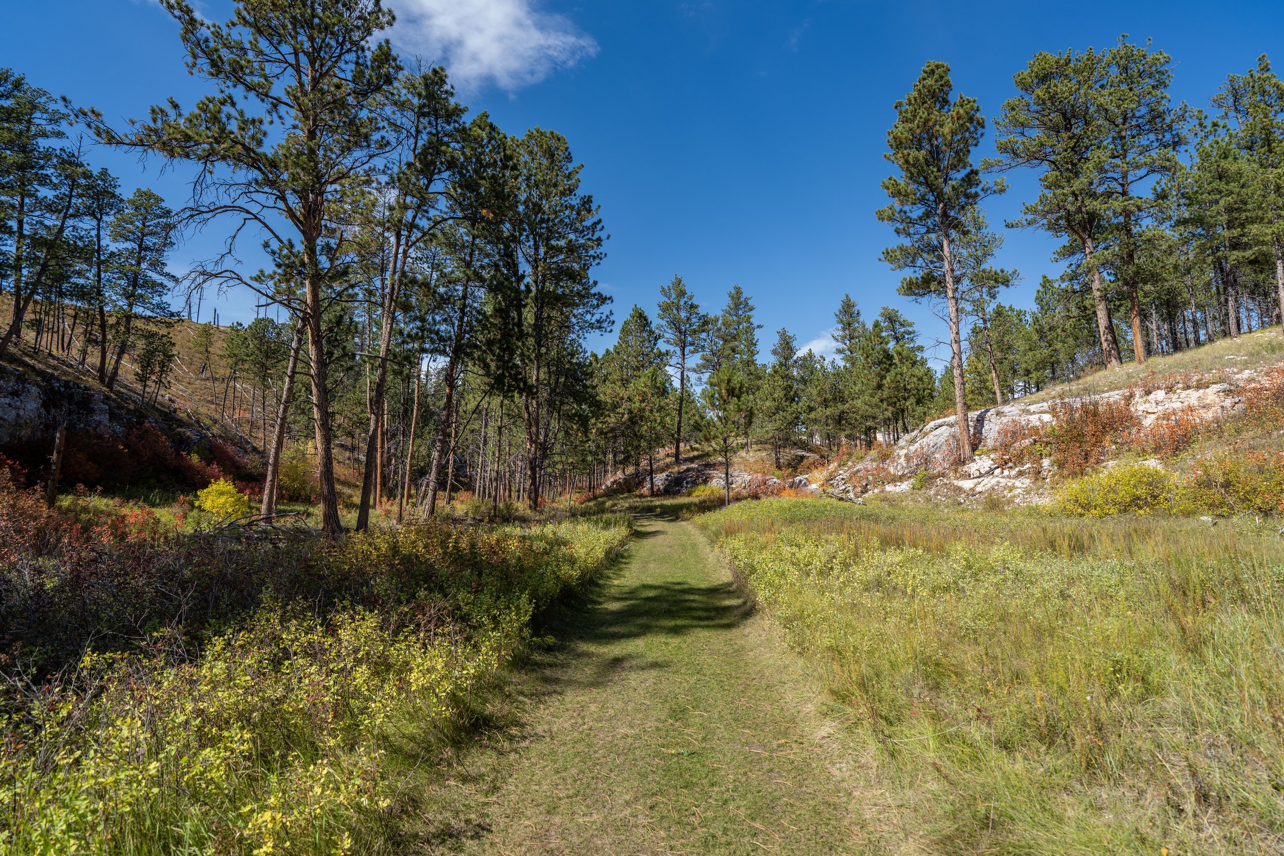
Hiking the Stratobowl Rim Trail
The Stratobowl Rim Trail simply follows the dirt service road past the gate next to the parking lot.
Once on the road, there’s not much to know about the Stratobowl Rim Trail, except that there are a few hidden viewpoints within the final 0.2 miles (0.3 km) before the main overlook at the very end.
For the most part, the hills on the Stratobowl Rim Trail are very easy, making this short out-and-back adventure one of the better kid-friendly day hikes in the Black Hills!
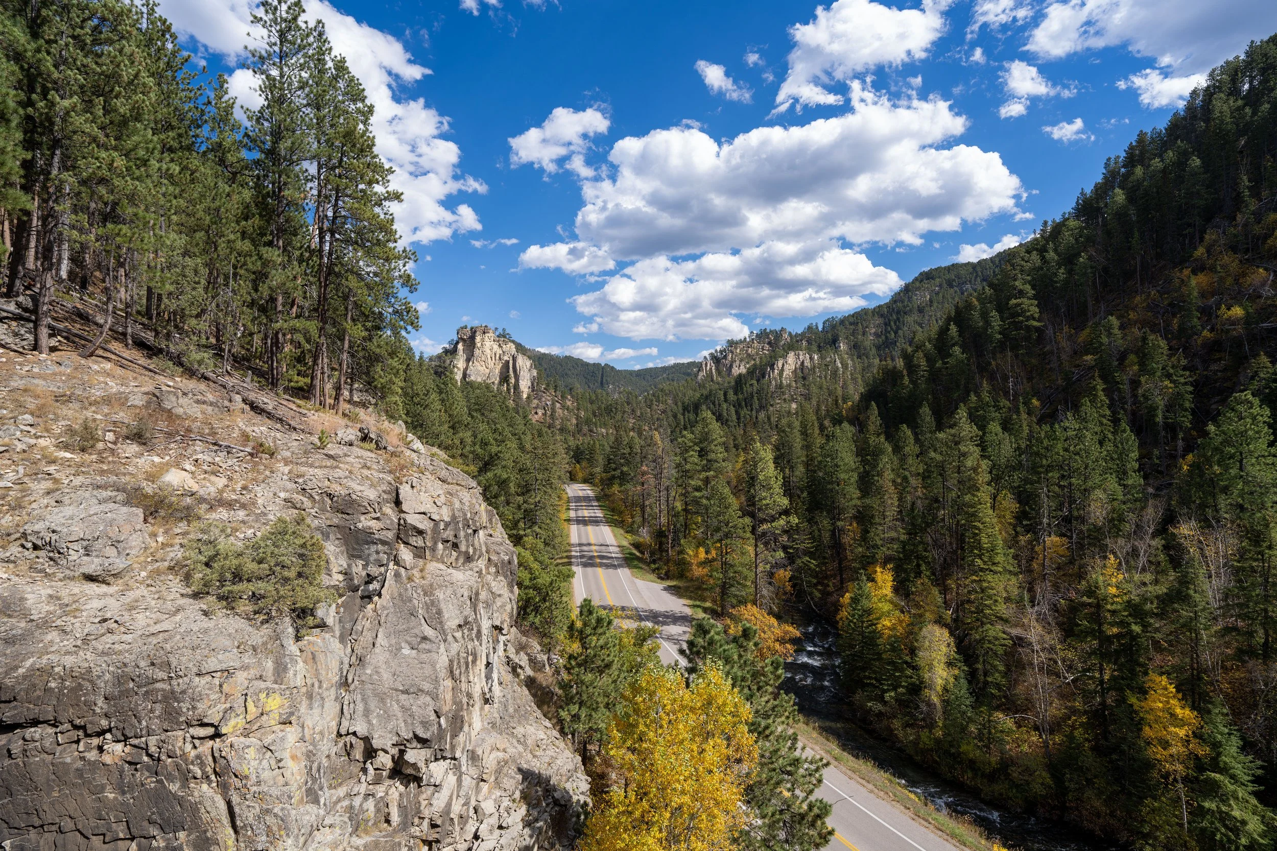
Even though I was visiting the Black Hills during peak fall foliage, there aren’t many areas on the Stratobowl Rim Trail with trees that change color.
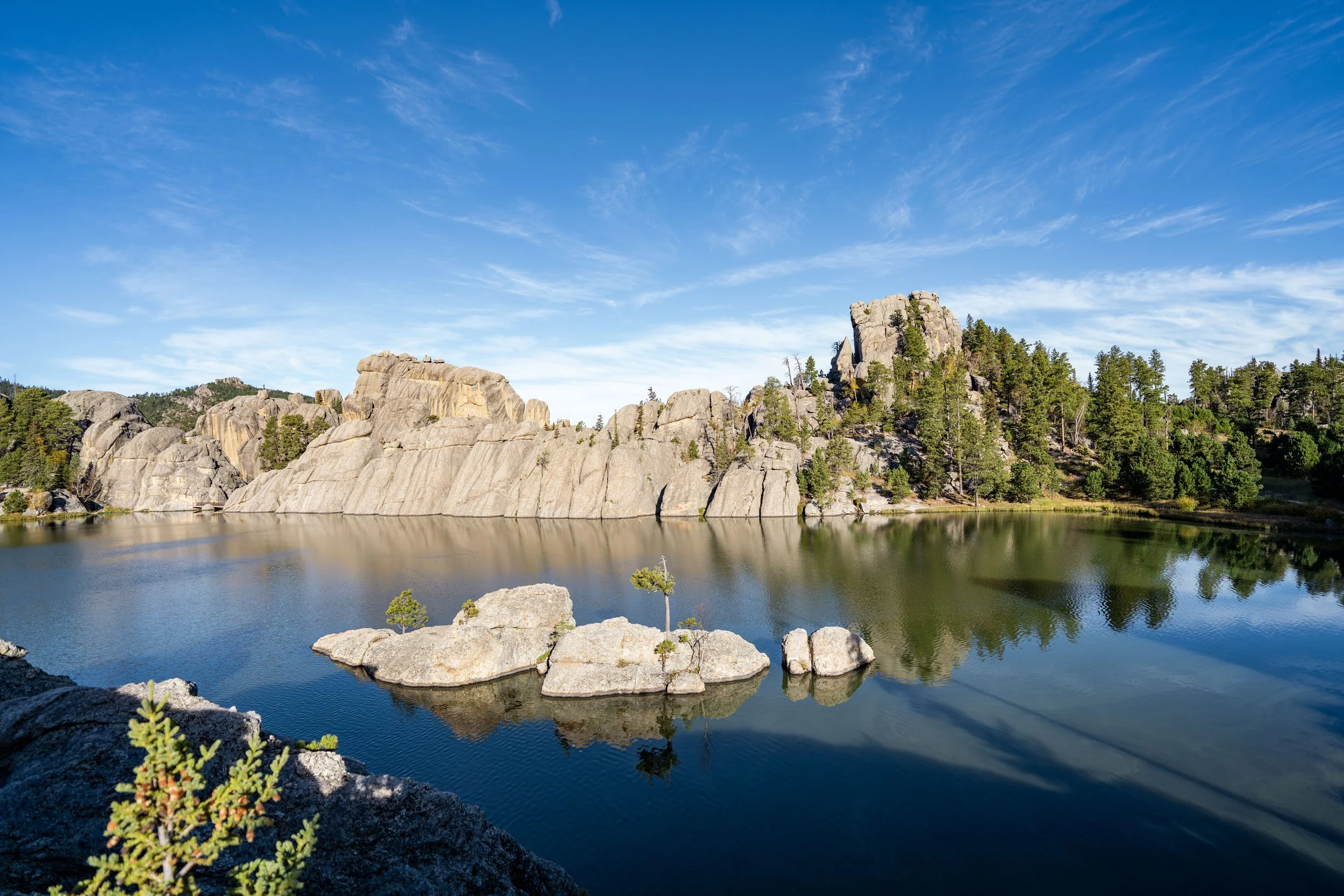
However, the same is not true for countless other areas across western South Dakota, like the Needles Highway and the trails in Custer State Park, as well as the trails throughout Spearfish Canyon!
This is the start of the steepest hill on the Stratobowl Rim Trail, which only gains about 50 ft. (15 m) from this point to the top—another reason why the Stratobowl Trail is such a great kid-friendly adventure!
This is where I recommend looking for other hidden viewpoints on the left-hand side of the trail, just before the official overlook at the very end.
Stratobowl Rim-Spring Creek Canyon Overlook Junction
After the hill, go left at this split to continue to the overlook and the memorial, just a few steps ahead.
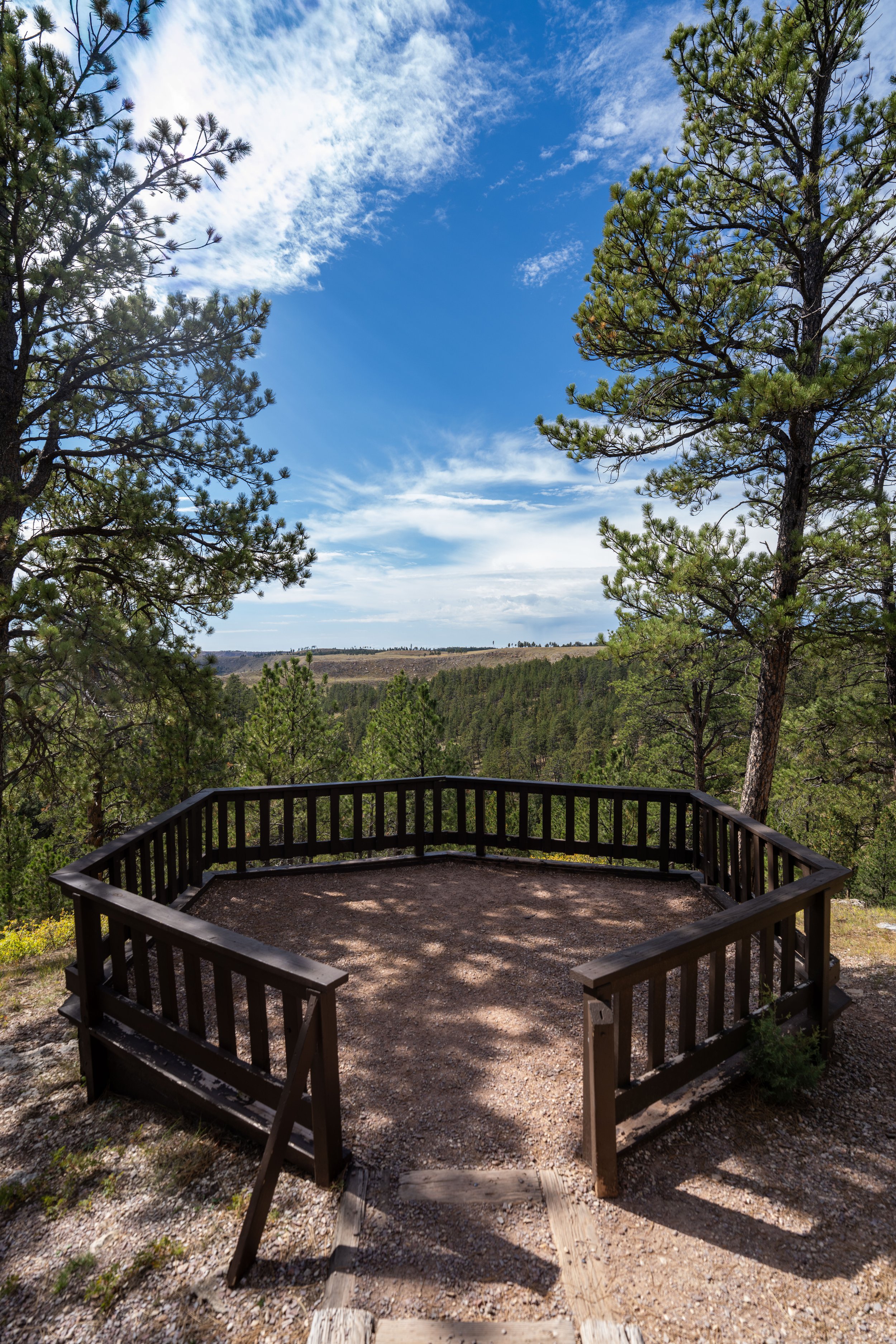
At the very end of the hike, Stratobowl Rim Trail splits, with the main overlook on the left and the memorial on the right.
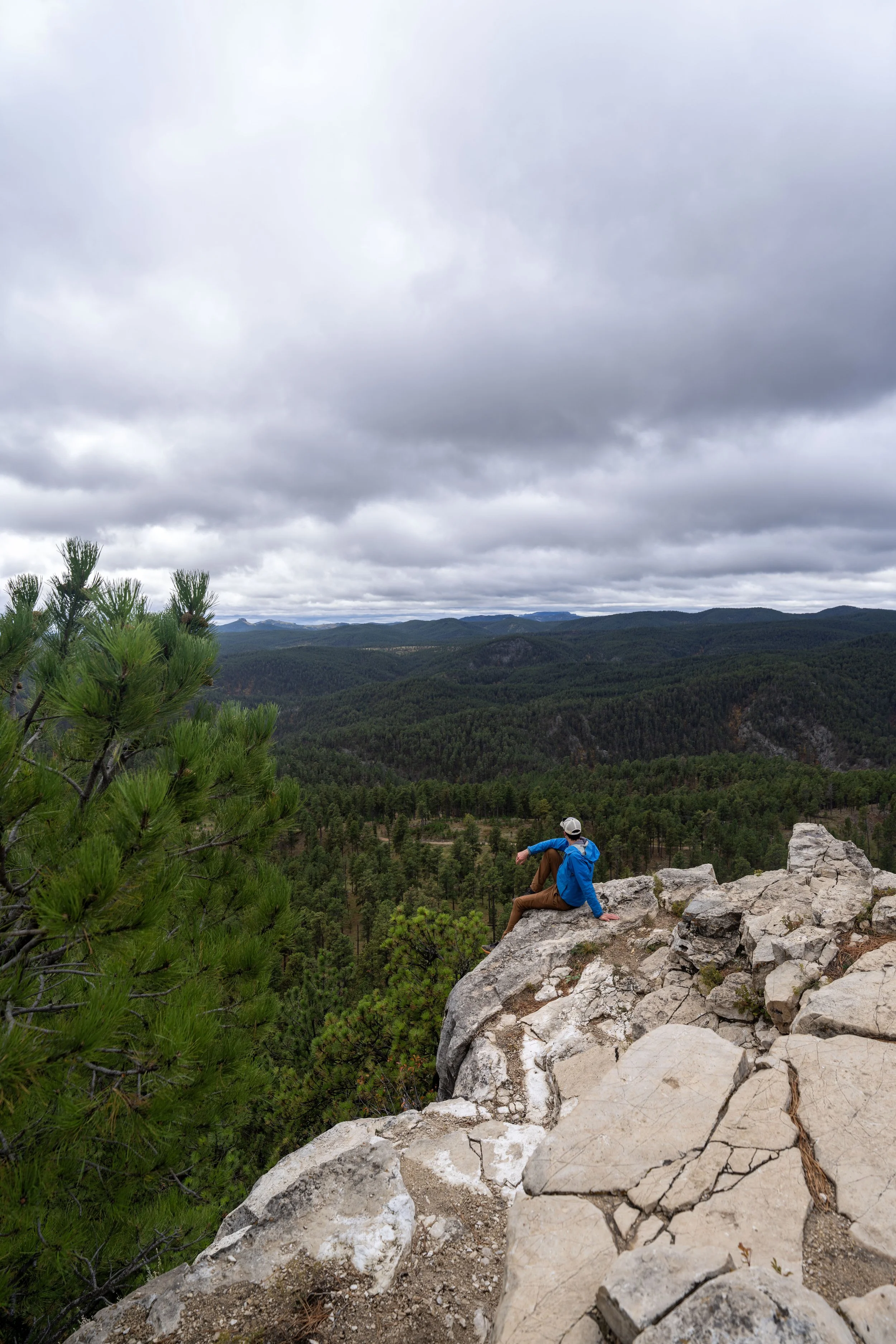
Stratosphere Bowl Overlook
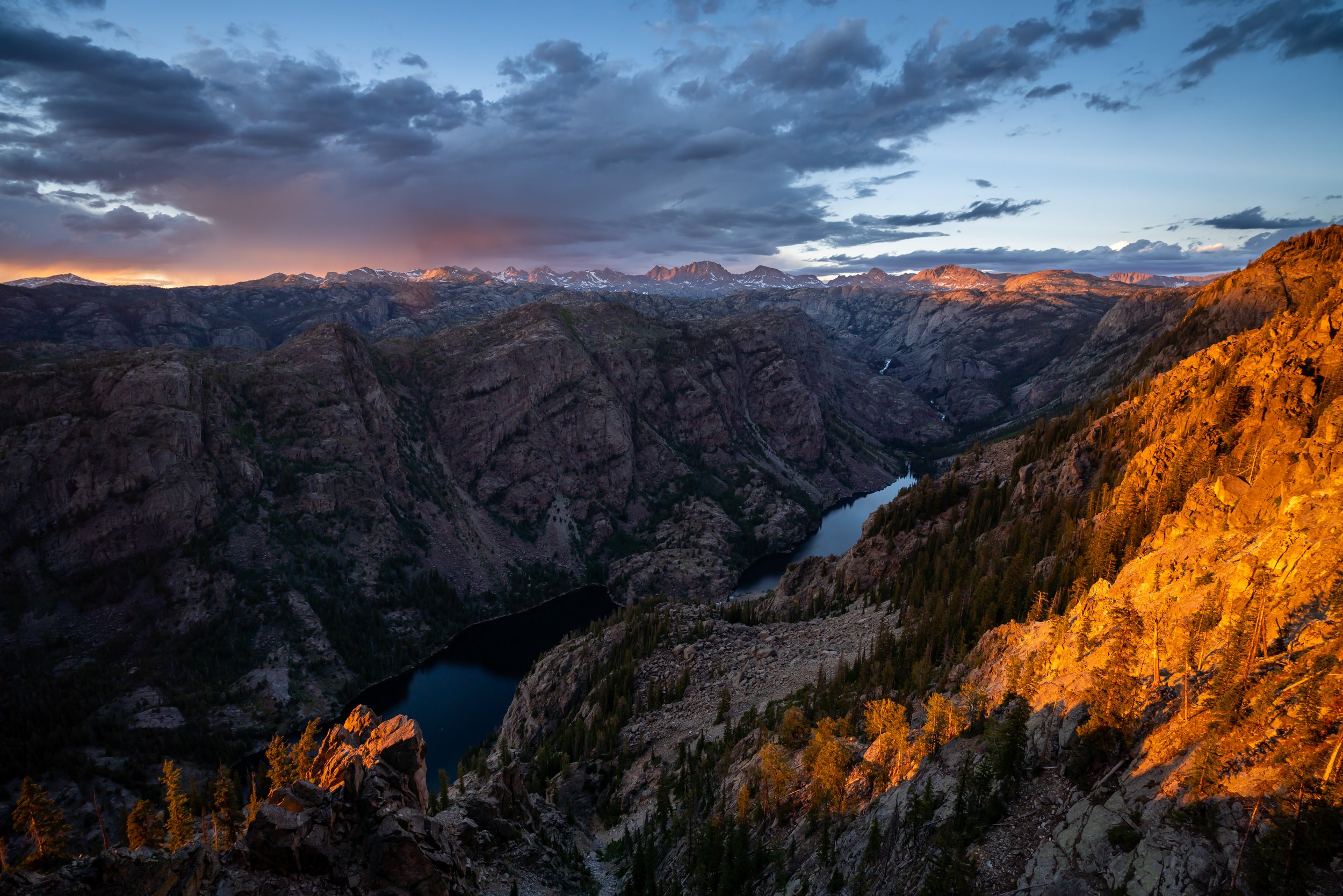
This is the Stratobowl, also called the Stratosphere Bowl, and it is a roughly 400-ft. (122 m) deep natural limestone canyon that served as the launch site for the high-altitude balloon missions that began in the 1930s and continued through the 1960s.
Today, the Stratobowl itself is not public land, like the trail on the rim and the surrounding forests, which belong to the U.S. Forest Service.
Stratosphere Bowl Memorial
In addition to the overlook, hikers can read about the flights that took place here, the most famous of which are Explorer I and Explorer II.
Stratobowl Rim-Spring Creek Canyon Overlook Junction
On the hike back, there is the option to either return the same way by going right, or hikers can go left to find one additional viewpoint, about 0.25 miles (0.4 km) away.
This is the Stratobowl Rim Trail that leads out to the final viewpoint.
The Stratobowl Rim Trail, past the main overlook, passes this bunker on the right-hand side with the year 1938 on it—a structure most certainly built by the Civilian Conservation Corps (CCC) during this era of historic flights.
However, I wasn’t able to find much definitive information as to its purpose, but if you know more, please leave a comment below!
At this split, go left to reach the final viewpoint, as the trail to the right simply leads toward the U.S. Forest Service property line and private land beyond.
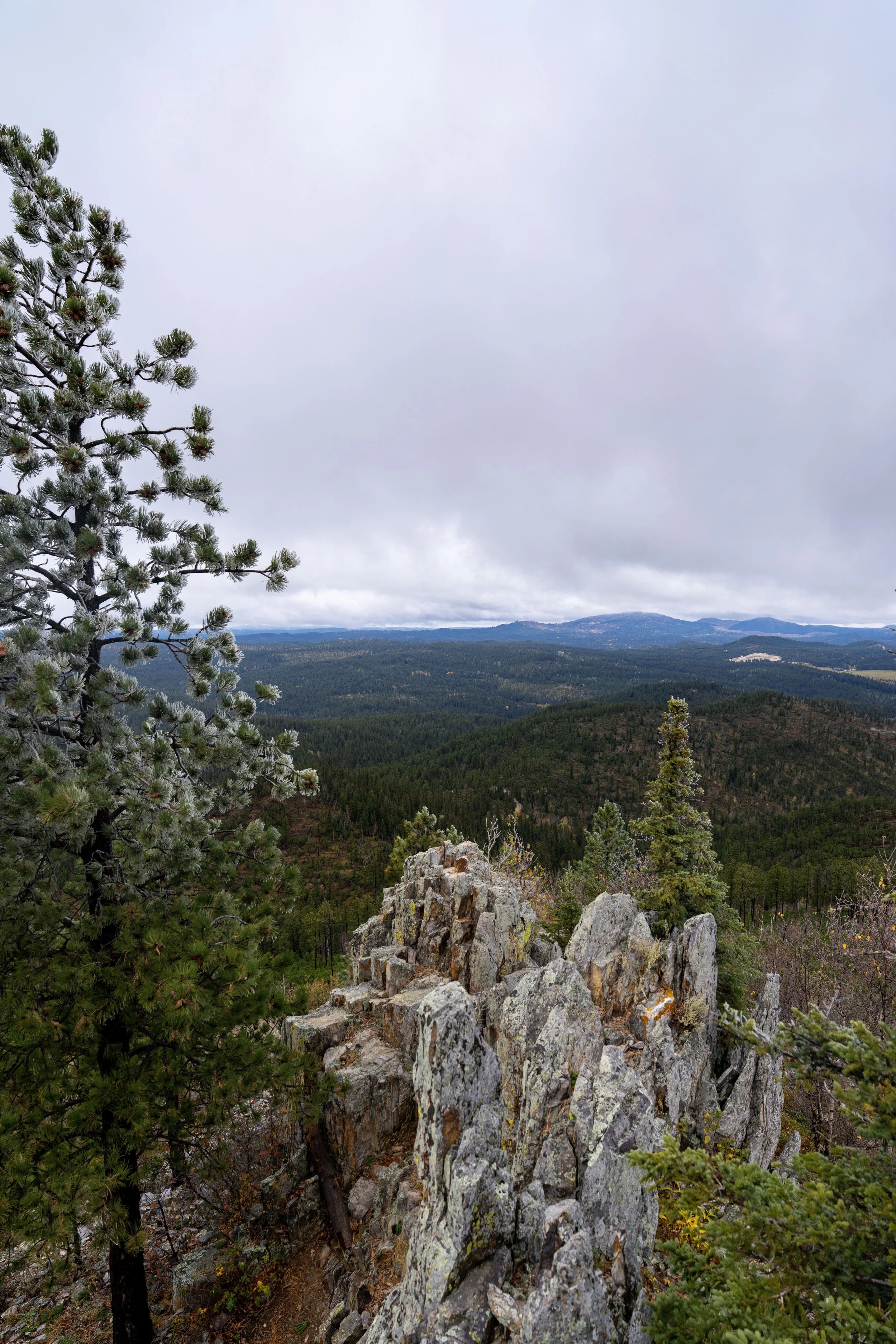
End of the Trail
This viewpoint above Spring Creek Canyon is the end of the Stratobowl Rim Trail.
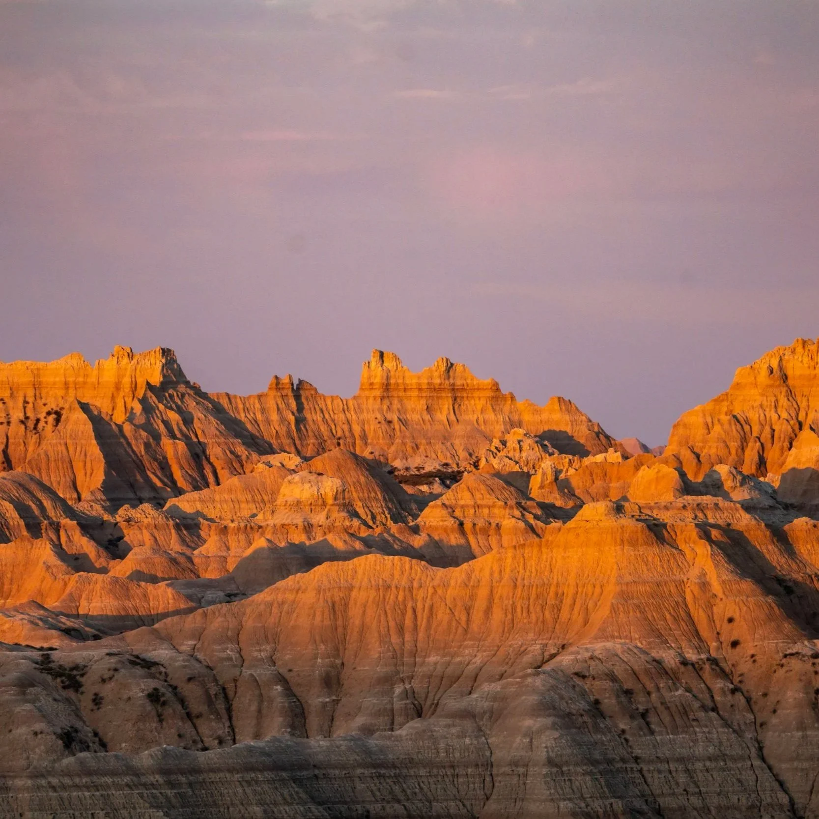
South Dakota


Wyoming