Hiking the Boland Ridge Trail in Wind Cave National Park
Distance: 5.0 miles / 8.0 km
Elevation Gain: 350 ft. / 107 m
The Boland Ridge Trail in Wind Cave National Park is a beautiful day hike along the park’s eastern boundary that climbs to one of the few upper vantage points across a sea of rolling hills and endless prairie!
I say this because, typically speaking, most day hikes in Wind Cave National Park have little to no notable elevation change, apart from a few hilly areas on the East Bison Flats Trail and the Highland Creek Trail near Wind Cave Canyon. Even Rankin Ridge, which climbs to the highest peak in the park, has fairly minimal elevation change over the course of the loop.
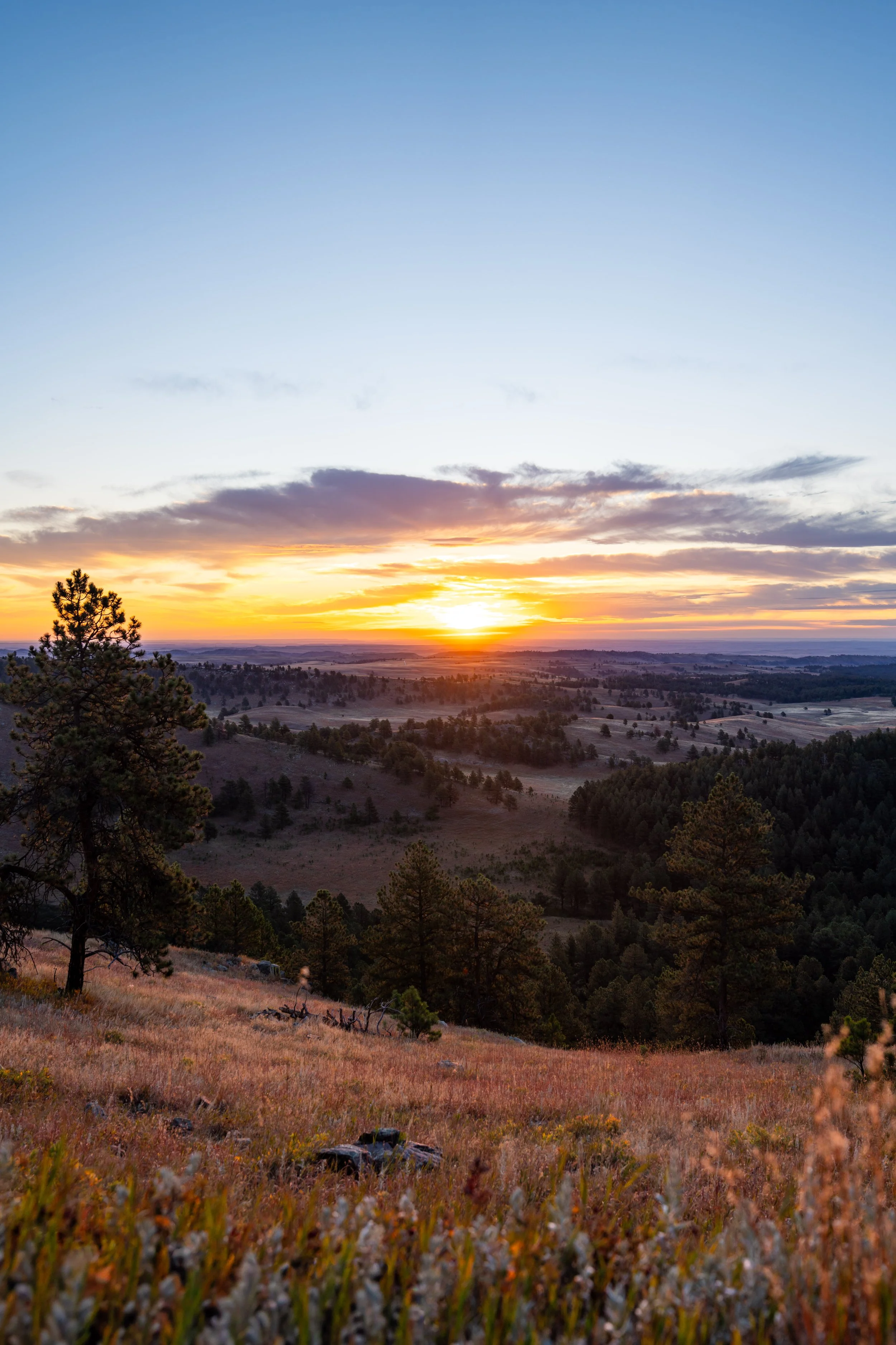
For this reason, the Boland Ridge Trail is one of my favorite day hikes in Wind Cave National Park, largely because I think the panoramic west-facing views make Boland Ridge the best sunset hike in Wind Cave National Park, especially considering how short the trail to get back down after dark is!
U.S. National Park Pass
There is no entrance fee to visit Wind Cave National Park.
However, entrance fees are collected at Badlands National Park and Devils Tower National Monument, which is why I recommend purchasing your National Park pass in advance before traveling to the Black Hills.
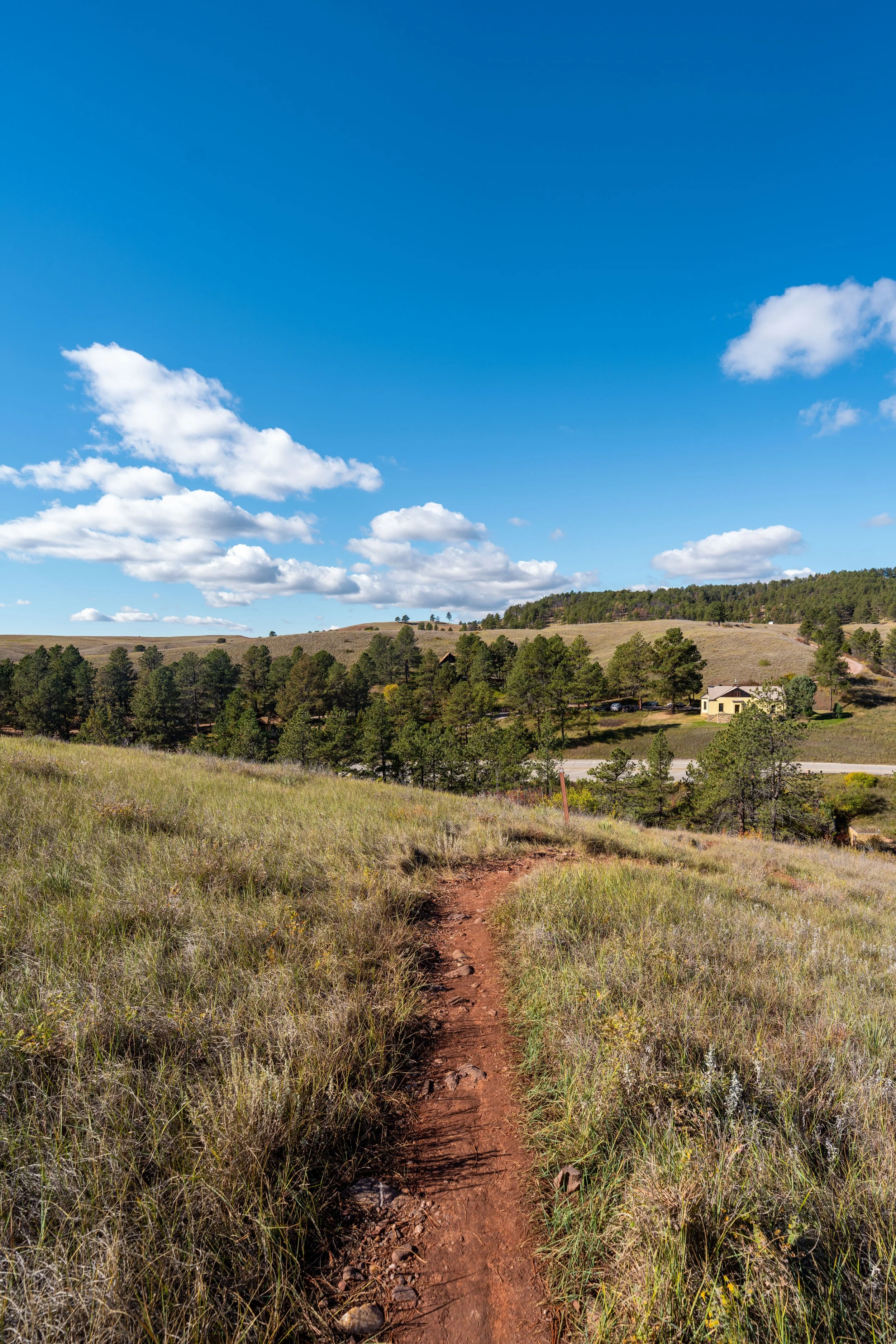
Boland Ridge Trailhead Parking
Parking for the Boland Ridge Trail is located directly alongside Red Valley Road (NPS 6), about 0.8 miles (1.3 km) north of the junction off Highland Ridge Road (NPS 5).
That said, the Boland Ridge Trail is located quite a distance from the busier parts of Wind Cave National Park, such as the guided tours around the visitor center and the nearby trails, but the dirt roads to get to Boland Ridge and throughout the park are very well maintained, so long as they are snow-free.
Google Maps Directions: Boland Ridge Trailhead
Hiking Checklist - Wind Cave
Here is a complete list of must-have things that you will want for any hike in Wind Cave National Park.
Hiking the Boland Ridge Trail
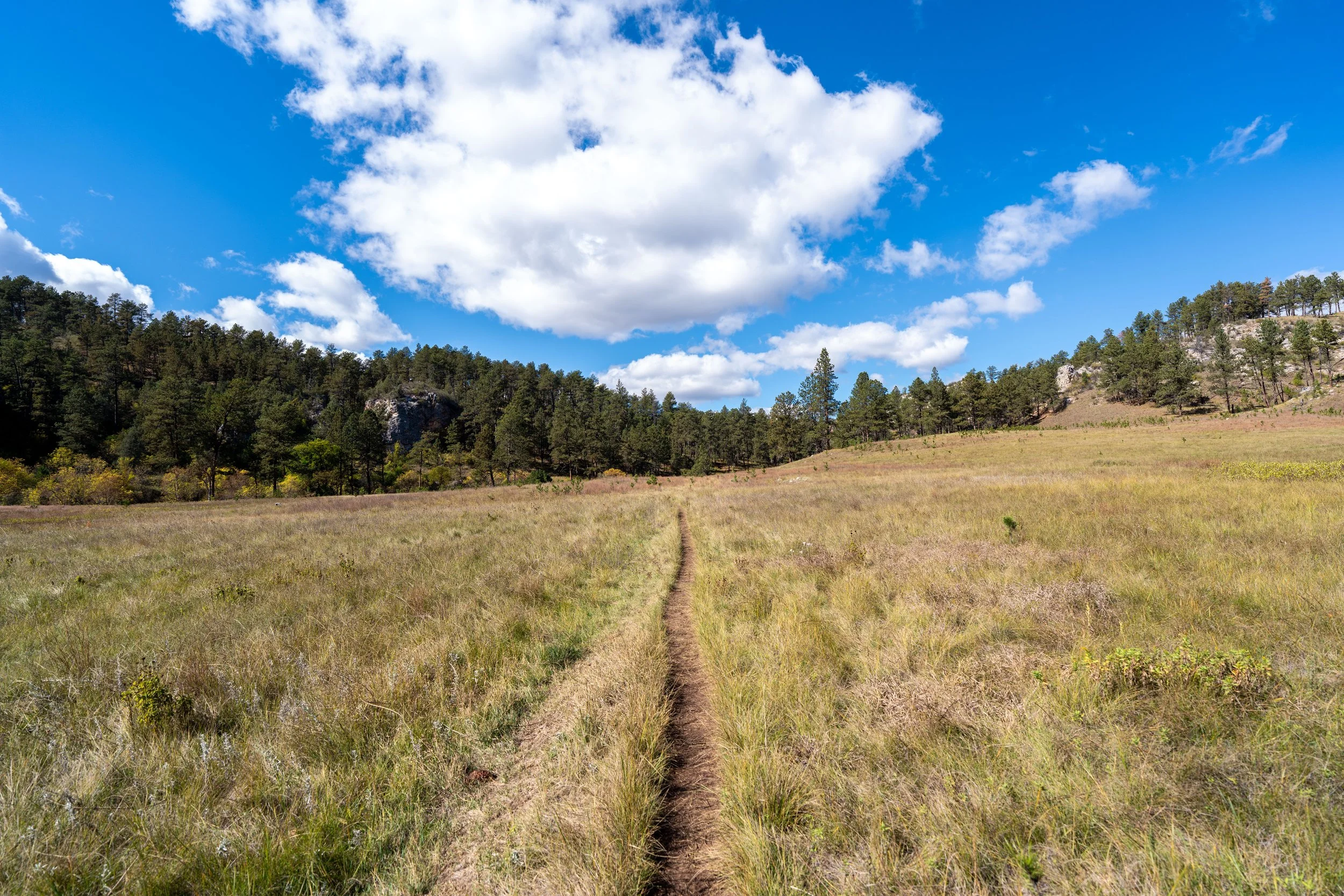
The Boland Ridge Trail begins on a very flat/ downhill path for about the first 0.6 miles (1.0 km) until it starts climbing the first of four hills on the hike up the ridge.
This is where the Boland Ridge Trail initially heads downhill before beginning the gradual climb up toward the base of the ridge straight ahead.
The one thing I hope these photos show more than anything else is that there is very little shade on the Boland Ridge Trail, which is true for most of the day hikes across the open prairies in Wind Cave National Park.
This is why I highly recommend hiking the trail in a hooded sun shirt, as one will certainly be useful here and for countless other adventures across the Black Hills in western South Dakota.
This is where the Boland Ridge Trail turns north to begin heading toward the first of the four hills mentioned previously.
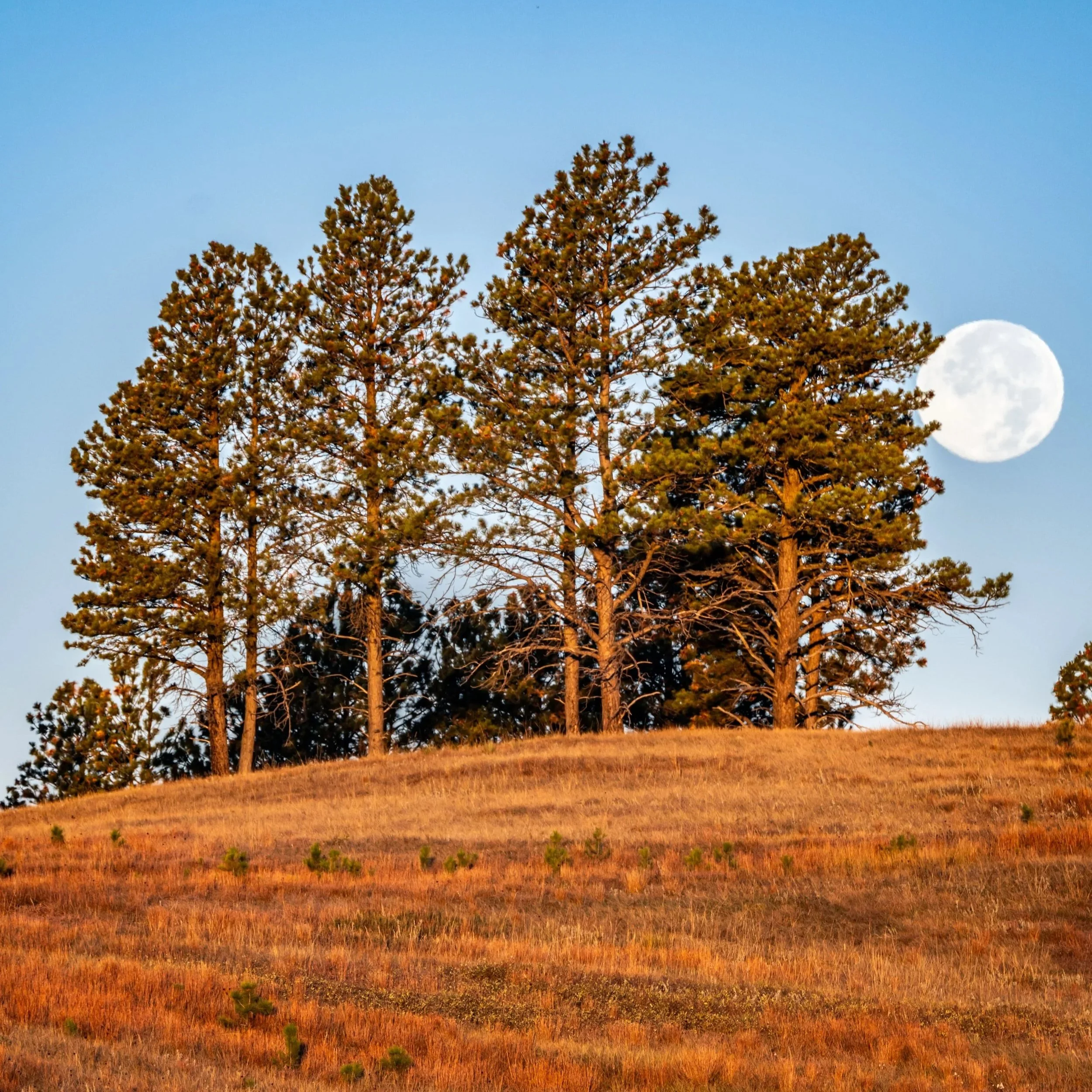
The lower elevations of Boland Ridge straight ahead are some of the better areas to catch the sunset, as the hike back in the dark is only about 0.8 miles (1.3 km).
That said, the first two hills are the best places to watch the sunset, in my opinion, because this is where the most beautiful panoramic views to the west are found!
This is the start of the first of the four hills on the Boland Ridge Trail.
At about the halfway point up the first hill, the Boland Ridge Trail passes one of the two spots I recommend stopping to catch the sunset, the other located near the top of the second hill.
These sections up the first hill are some of the steeper areas on the Boland Ridge Trail, but in reality, all the steep sections on the hike up don’t last very long.
This is the top of the first hill on Boland Ridge, with the second located straight ahead in the distance.
At this split, it doesn’t matter which path you choose to follow, as they both meet again shortly ahead.
I chose to go right to continue up the official Boland Ridge Trail.
This is where the second hill up Boland Ridge starts to get steeper.
Some hikers may want to use trekking poles for the steeper sections on the Boland Ridge Trail.
At about 1.1 miles (1.8 km), the Boland Ridge Trail passes the second, and possibly better, spot to catch the sunset on the hike, which is quite a bit higher than the lower spot I recommend about halfway up the first hill.
That said, either area is very practical for those interested in a quiet, secluded place to enjoy golden hour in Wind Cave National Park, but with either, remember to bring a good headlamp for the hike back in the dark.
This is the top of the second hill, which is also the highest point on the entire hike.
This means that the rest of the Boland Ridge Trail descends slightly before climbing up each of the final two hills, but in reality, the first two leading up to this point are the most significant, meaning both three and four are hardly worth mentioning.
After the second hill, the Boland Ridge Trail will continue east on a gradual downhill path toward the third, which is nothing more than the small bump in the ridge straight ahead.
The little hill in the distance is the third on the Boland Ridge Trail, which is the easiest of the three to hike up.
At the top of the third hill, the Boland Ridge Trail will continue heading down a gradual slope until it reaches the bottom of the fourth hill, about 0.4 miles (0.6 km) ahead.
The reason I even mention that there are four hills worth counting is because getting to the top of each is the only way to see the next section ahead.
Even the smallest of the four—the third hill—is significant in terms of how much more of Boland Ridge can be seen once at the top, which is why I think breaking it up this way is best mentally, as there are a few 'false summits,' so to speak.
The hill straight ahead in the distance is the fourth and final notable hill on the Boland Ridge Trail.
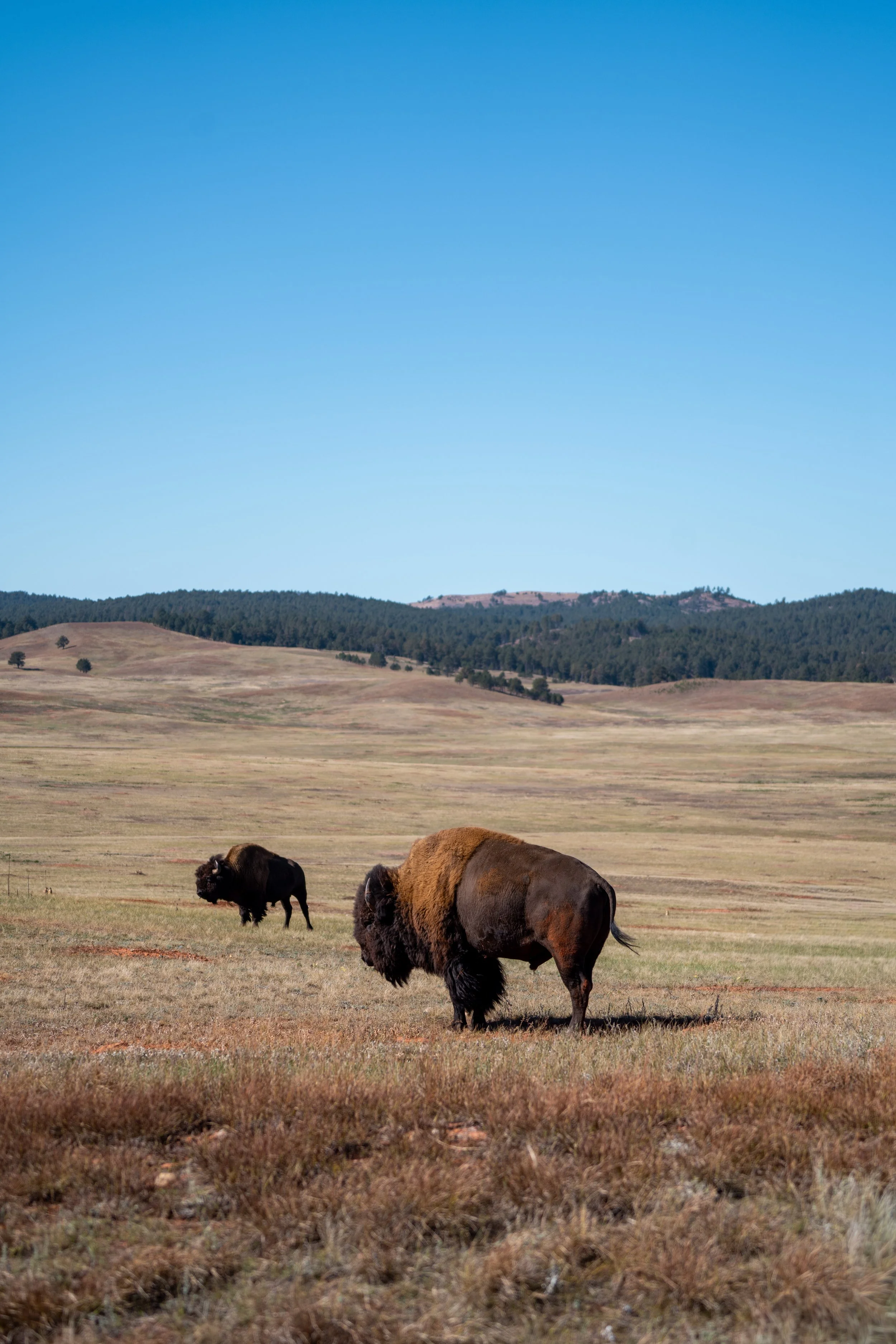
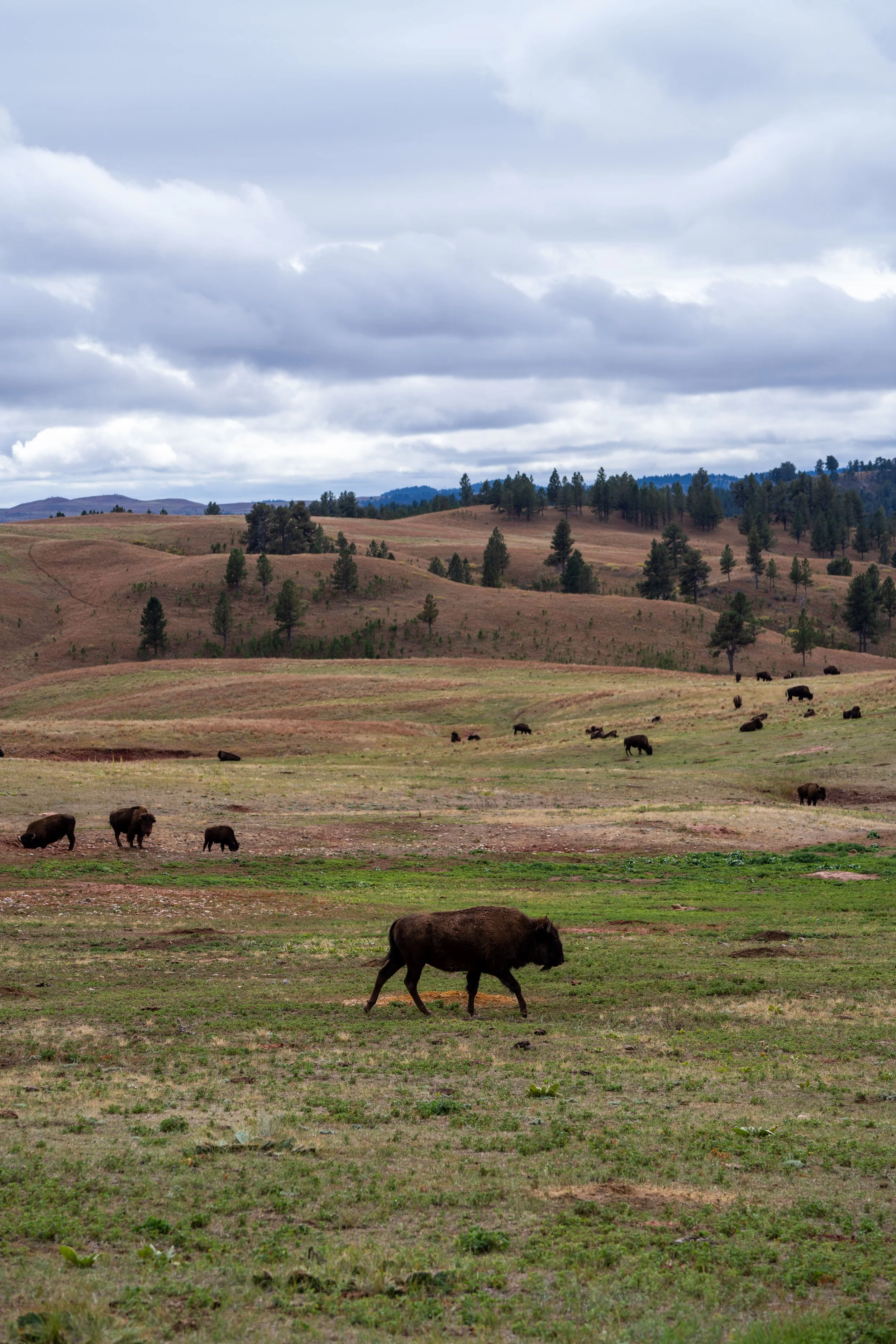
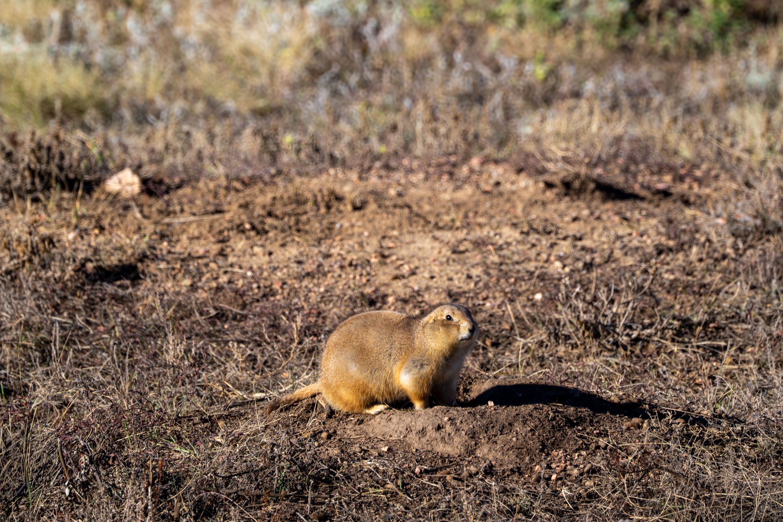
This mud pit is called a wallow, which is a place that Bison roll around to coat themselves in mud, helping to protect their skin from insects and regulate their body temperature.
That said, it’s not uncommon to have to leave the trail to get around Bison lying in them, as there are countless scattered throughout the trails in Wind Cave National Park.
This is the top of the fourth and final hill on the Boland Ridge Trail—and while the rest of the hike to the park boundary isn’t necessarily flat, the majority of where the trail is heading can be seen from this point on.
This turn to the north is a nice sign that there’s only about 0.25 mile (0.4 km) left to reach the end of the Boland Ridge Trail.
The treeline in the distance is the end of the Boland Ridge Trail.
End of the Trail
The Boland Ridge Trail officially ends just before the small ravine near the eastern park boundary, but if you are curious, the trail can be walked all the way to the fence line, which is where I happened to find a fairly fresh Mountain Lion kill just a few steps ahead!
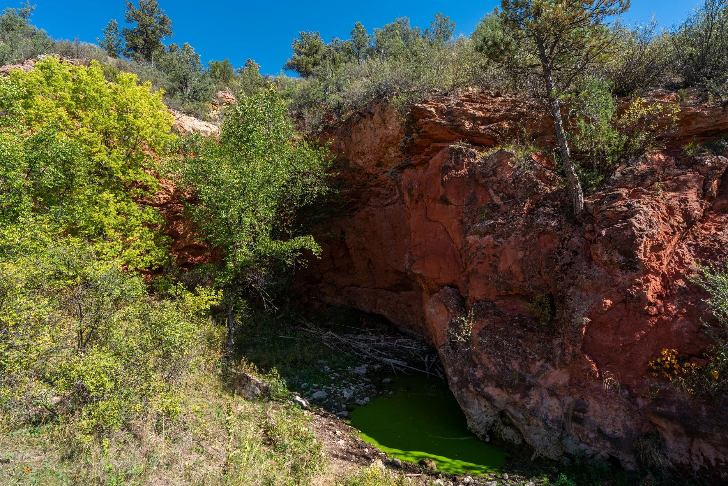
This is where the Boland Ridge Trail drops down into the small ravine.
Whether it was a blessing or a curse, I came across this Mountain Lion kill in the drainage just past the ‘End of Trail’ sign.
The reason I think it was a Mountain Lion and not Coyotes is because Mountain Lions typically eat the internal organs first, while Coyotes usually go for the hindquarters and leave the remains scattered over a wider area.
However, the one thing that makes me second-guess this theory is that Mountain Lions typically hide their kills so they can return later, and I’m not sure whether leaving a Mule Deer a ravine like this really counts as hiding it.
Either way, it was very interesting to come across, and it didn’t look like the deer had been there for more than a day or two.