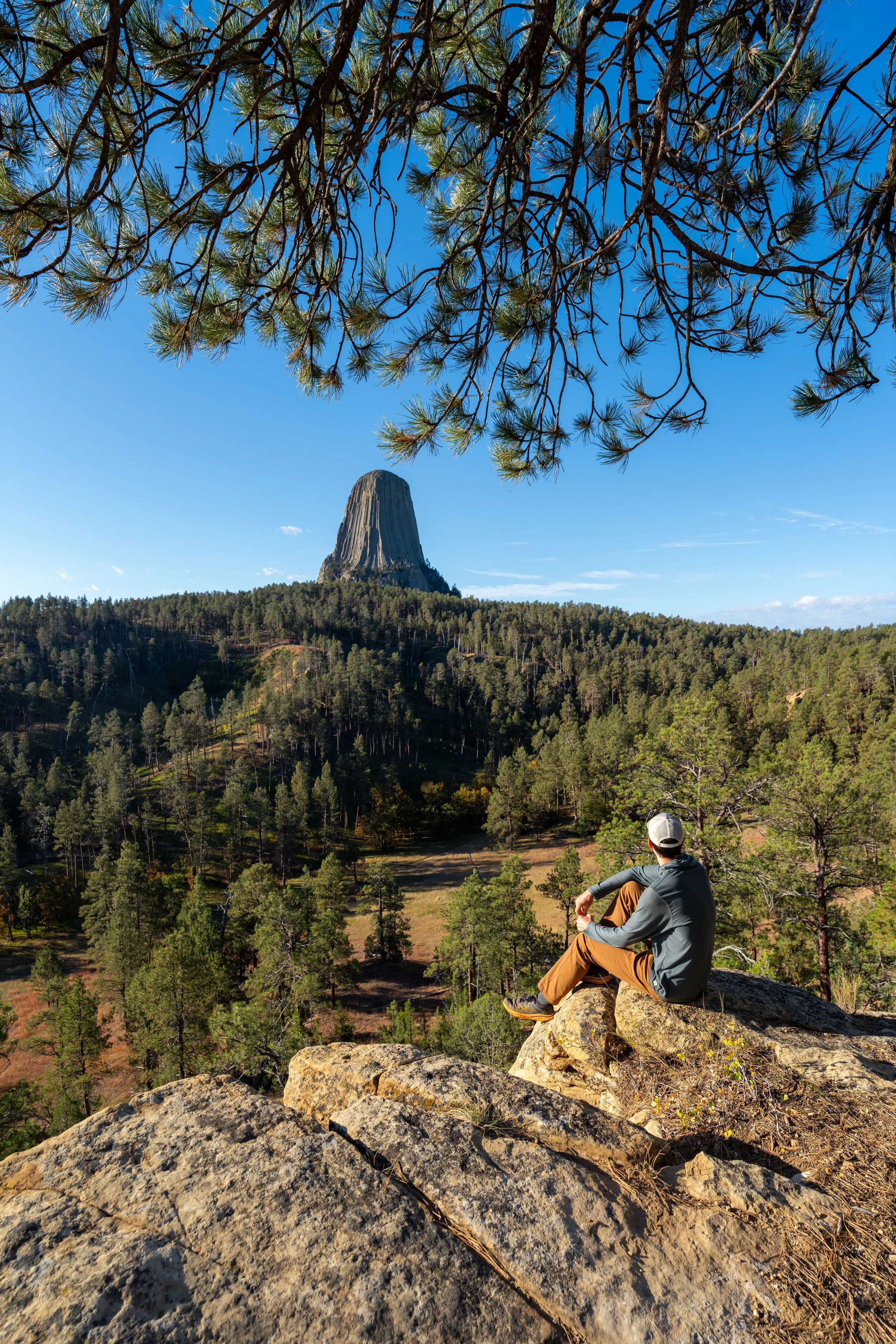
Hiking the Tower Trail in Devils Tower National Monument, Wyoming
Distance: 1.8 miles / 2.9 km
The Tower Trail, also called the Devils Tower Trail, in Devils Tower National Monument, is an easy, paved loop trail that circles the near-vertical rock formation, allowing visitors to see and appreciate Devils Tower from all angles—and, if you’re lucky, spot climbers making their way to the summit!
That said, the relatively short 1.6-mile (2.6 km) loop is a little more challenging than it may initially seem, which largely has to do with the paved trail being so slippery, even under normal dry, sunny conditions.
This is because the asphalt on the heavily trafficked Tower Trail can be deceptively smoother than it may seem, making the trail, in poor weather conditions, that much more challenging.
All this to say, the Devils Tower Loop Trail is spectacular, and it’s easily the best thing to do in Devils Tower National Monument. However, I mention everything above to encourage all visitors to wear good hiking shoes and come prepared for the current seasonal conditions, which may mean hiking with poles and micro-spikes.
Tower Trailhead Parking
Parking for the Tower Trail is located in either the upper lot closest to the Devils Tower Visitor Center or in the overflow lot just down the hill.
With either option, be aware that the Tower Trailhead is the most popular area within Devils Tower National Monument, which also means that the visitor center is the most challenging place to find parking.
This is why I recommend arriving early in the day, as both lots tend to fill up by mid-morning—especially during the busy summer travel season.
Google Maps Directions: Tower Trailhead
Hiking Checklist - Devils Tower
According to the National Park Service, encounters with Black Bears are incredibly rare at Devils Tower.
That said, here is a complete list of must-have things that you will want for any hike in Devils Tower National Monument.
Hiking the Tower Trail
The Tower Trail begins adjacent to the Red Beds Trailhead, the slightly longer, less-trafficked loop around Devils Tower.
It is here that visitors begin a gradual 0.1-mile (0.2 km) uphill hike to the start of the Devils Tower Loop, just up the hill.
Read My Separate Post: Red Beds Trail
Go straight past this pavilion to continue up to the start of the Devils Tower Loop.
Tower-Red Beds Junction
Shortly before the Tower Trail reaches the start of the loop, the trail passes the alternative starting point for the Red Beds Trail.
This is often where most hikers return from the longer Red Beds Loop around Devils Tower, as the lower trailhead near the parking lot is much more obvious.
All this aside, go right to continue hiking up the paved path to the start of the loop.
Read My Separate Post: Red Beds Trail
Tower Loop Trail
This is where the Tower Trail reaches the start of the loop around Devils Tower.
That said, I personally don’t think it makes much of a difference in terms of which direction is best to hike the loop.
In this post, I chose to go left in the clockwise direction around the Tower Trail.
When I mentioned at the beginning that the Tower Trail can be slippery, it’s typically small hills like this that don’t seem challenging until you realize you don’t have any grip.
This is also why I previously mentioned that poles and micro-spikes may be necessary, especially during the colder winter months.
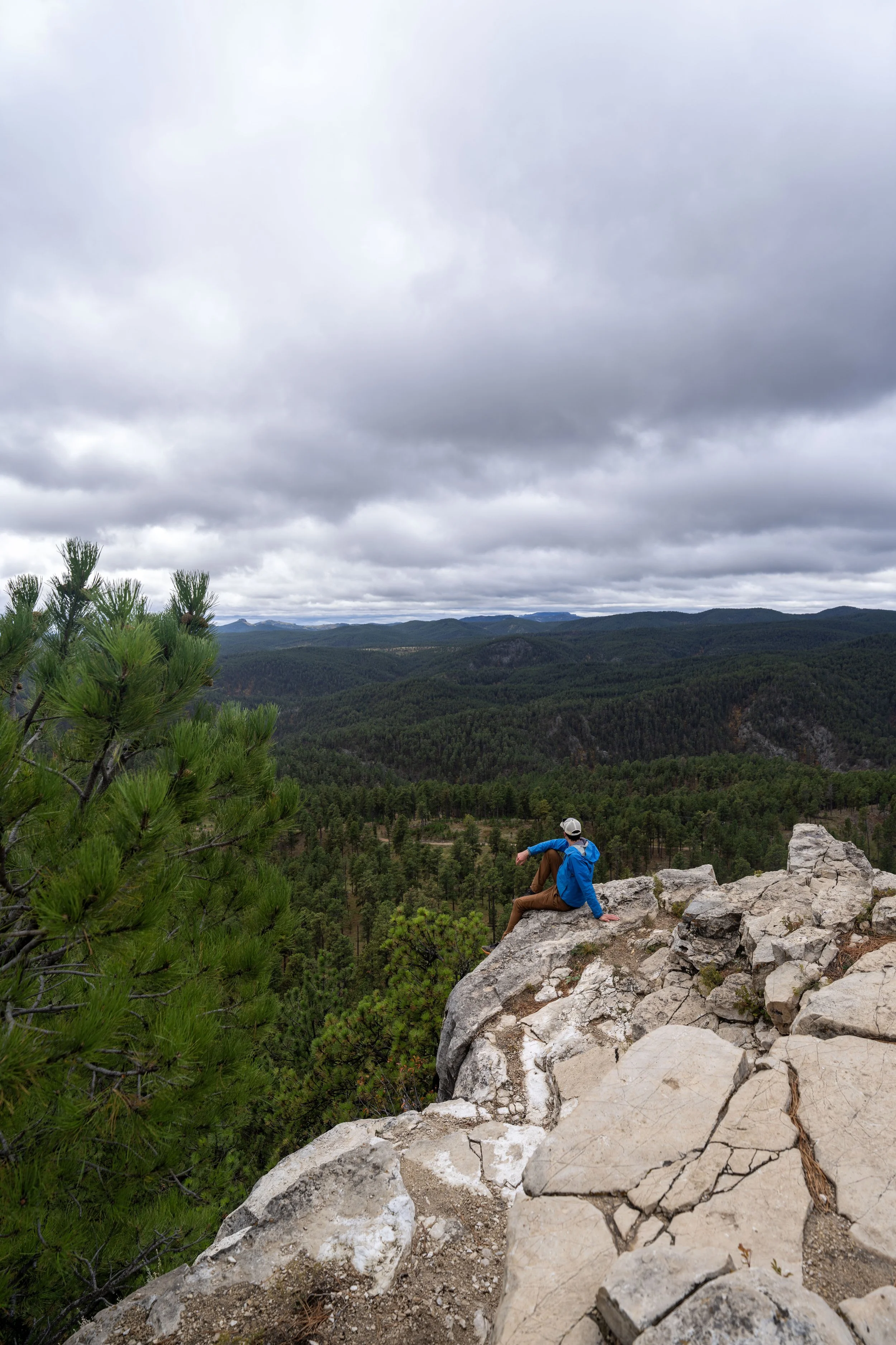
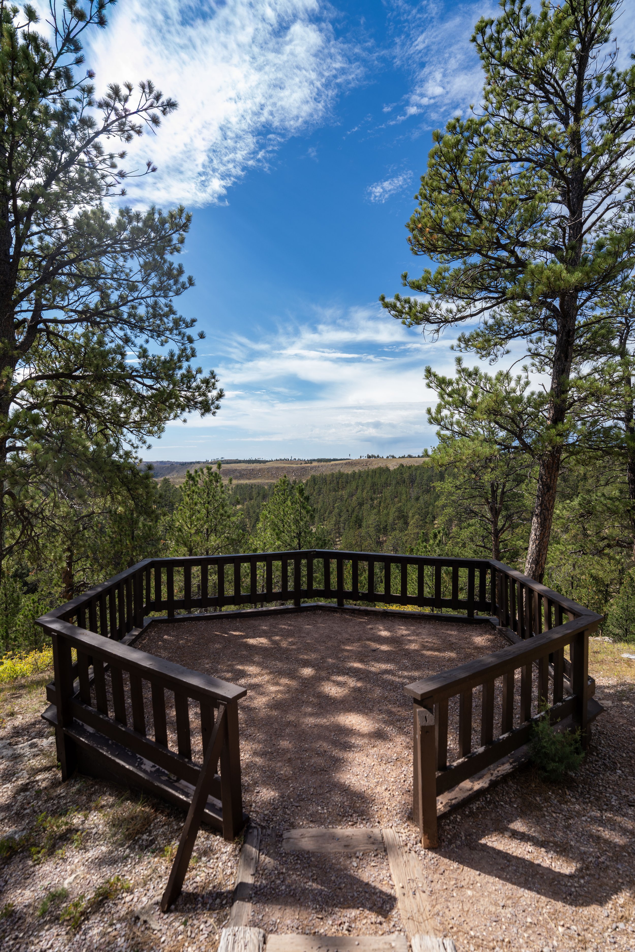
This split leads to the first viewpoint off the main Tower Loop Trail, which is a great place to see Devils Tower without being surrounded by the mixed Ponderosa-Aspen forest.
This first viewpoint on the northwest side of Devils Tower is the most open, as there are few trees blocking the views of the mountain in the distance!
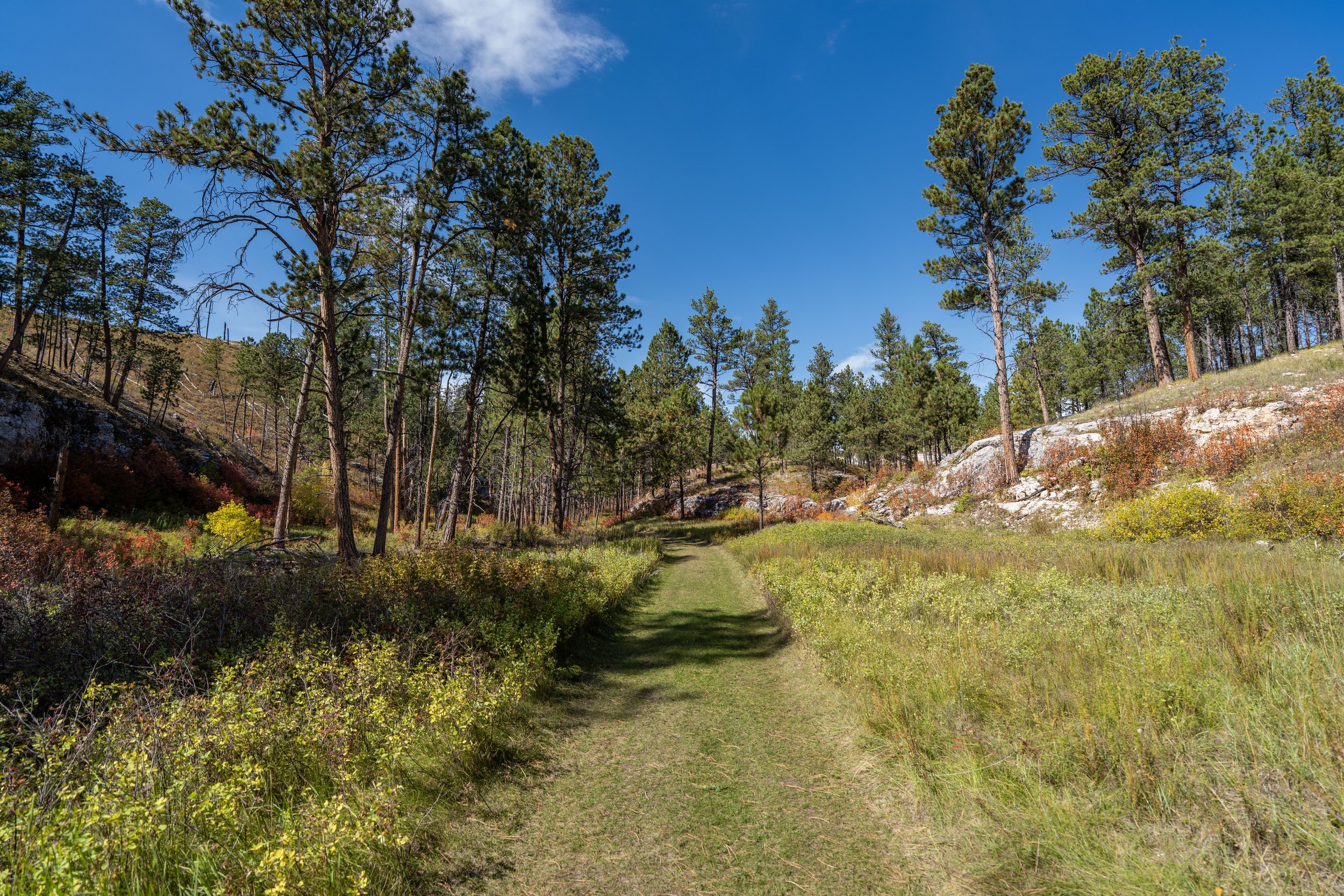
After the first viewpoint, the Tower Trail works its way around the north side of the loop, where views of the tower become fairly limited unless you decide to scramble up the boulders to get past some of the trees.
This hill is about as steep as the Tower Trail gets.
At the top of the hill, the views of Devils Tower start to get better and better once again, with some of the best views located on the south side, in my opinion.
I always like to say that Ponderosa Pines are not known for providing the best shade, which is you may want to consider hiking in a hooded sun shirt, especially if you plan to explore other areas like Joyner Ridge when visiting Devils Tower National Monument.
The halfway point is located along the eastern side of Devils Tower, and it means there is roughly 0.8 miles (1.3 km) left to return to the beginning of the loop.
What is the Best Place to Look for Climbers on the Tower Trail?
The south and west sides of the Tower Trail pass closest to Devils Tower, which makes this portion of the loop the best place to look for climbers making their way to the summit.
That said, the most popular side of Devils Tower to climb is the south face, specifically the Durrance Route, which can be a great place to stop and look for climbers as you make your way back to the beginning.
This short stretch along the southwest side of the loop is the closest the Tower Trail gets to Devils Tower, making it a great place to pause and look up at the mountain!
The second most notable side trail off the Tower Loop is located on the southwest side of Devils Tower, almost directly opposite of the first one shown at the beginning.
Here, hikers can go left to leave the main loop and look for climbs on the popular Durrance Route.
Almost immediately past the previous viewpoint, the Tower Trail passes another short side trail, where hikers can see and learn about what the first climbers did to reach the summit of Devils Tower before modern rock climbing became what we know it as today.
After the prior two viewpoints, hikers will begin the southern side of the Tower Loop Trail, the most popular side of the mountain to climb to the summit.
This is where I recommend slowing down to look for climbers in these first sections immediately following the prior two viewpoints, as there is a few good vantage points through the Ponderosa Pines to spot them high up the mountain!
This is where I personally think some of the best views of Devils Tower can be found!
As the Devils Tower Trail makes its way back to the beginning, hikers can see great views looking southeast toward the Black Hills in South Dakota.
This boulder field is a nice sign that the beginning of the Tower Loop Trail is not far ahead!
Tower Loop Junction
This is where the 1.6-mile (2.6 km) Tower Loop Trail returns to the beginning.
That said, go left to begin hiking back down to the trailhead and the visitor center.

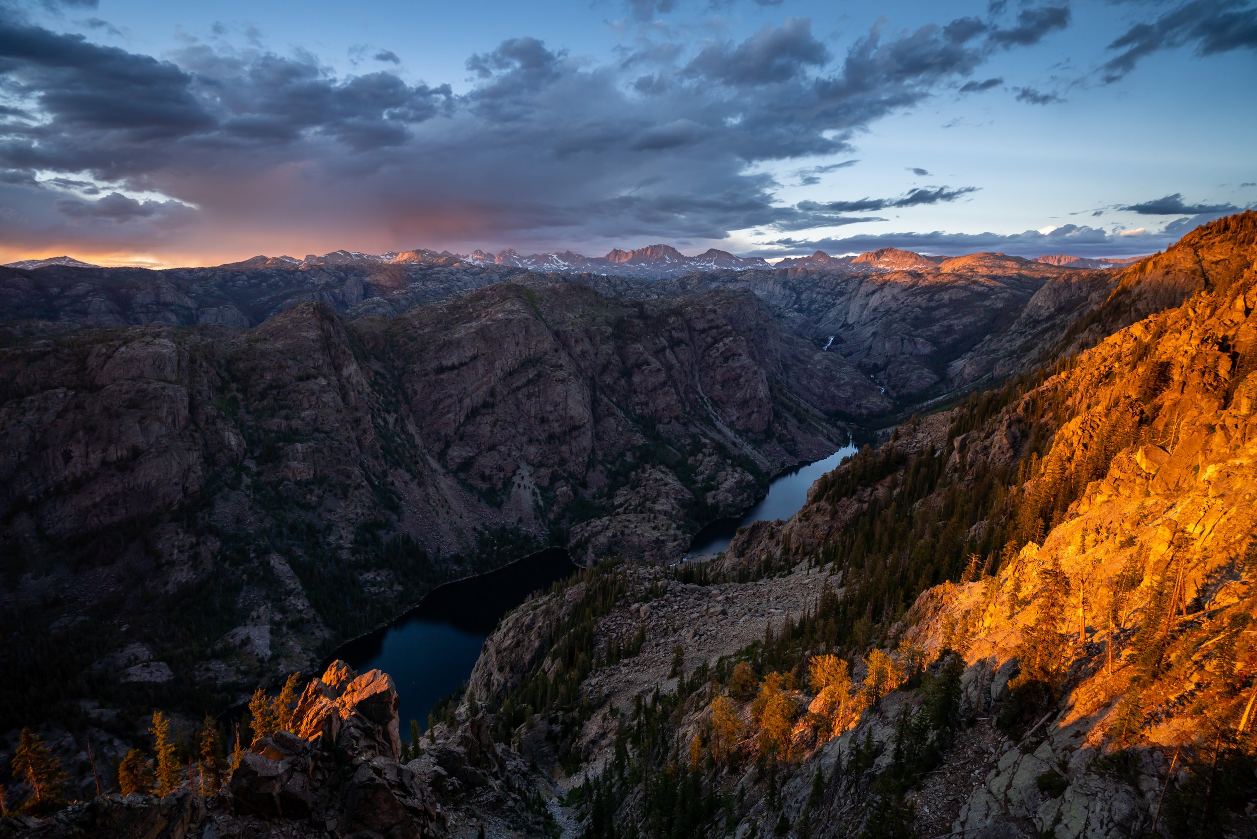
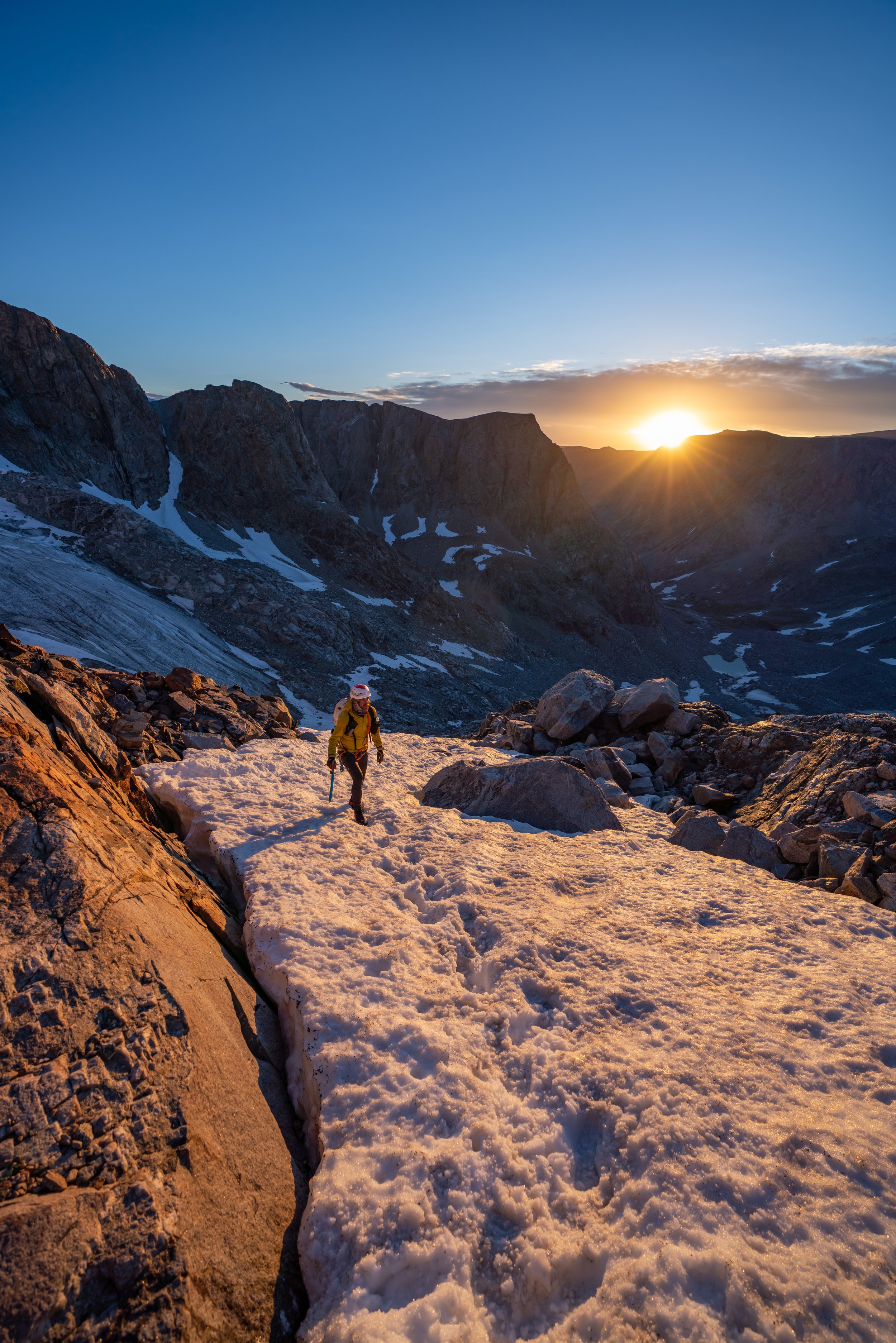
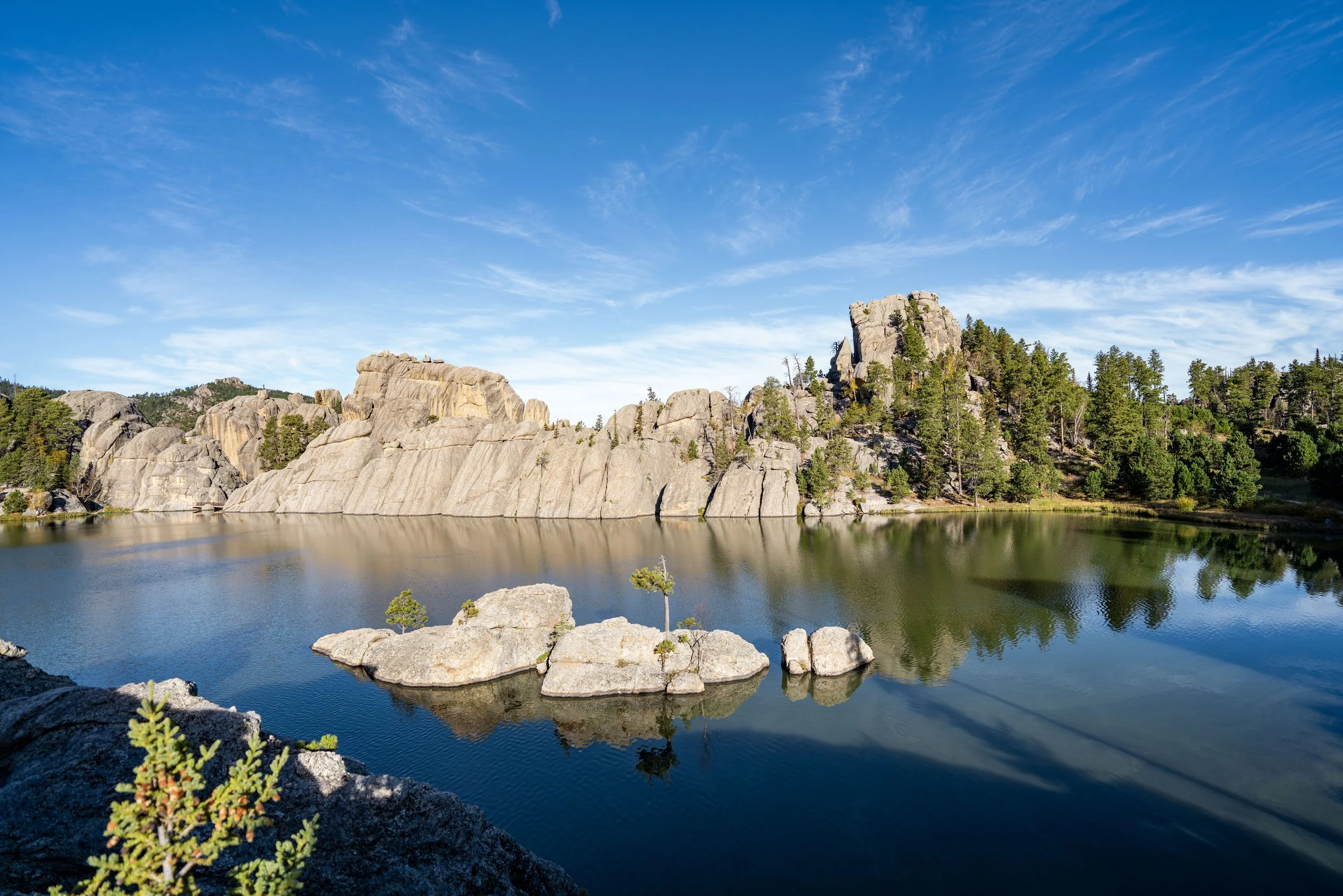
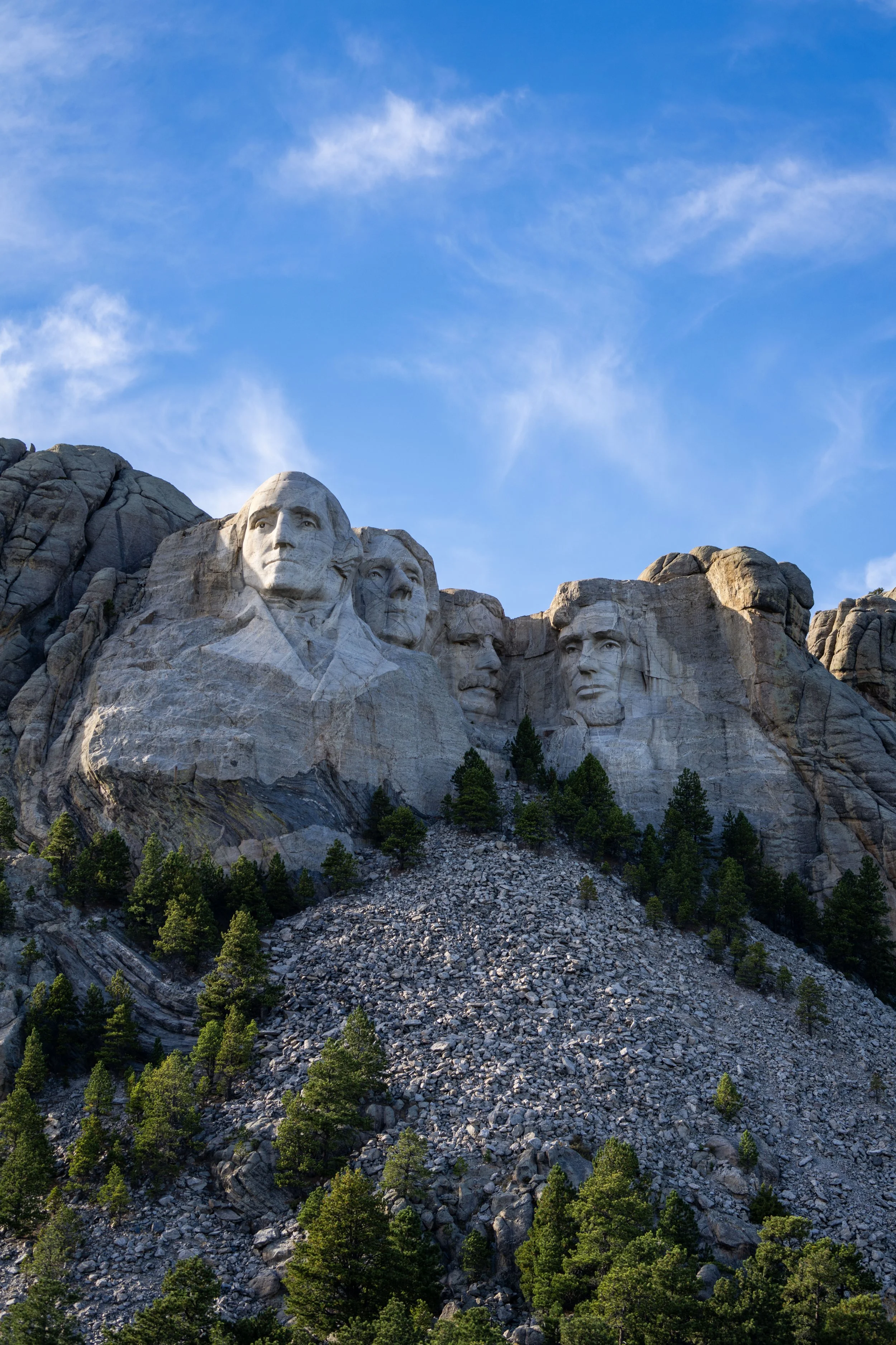
South Dakota
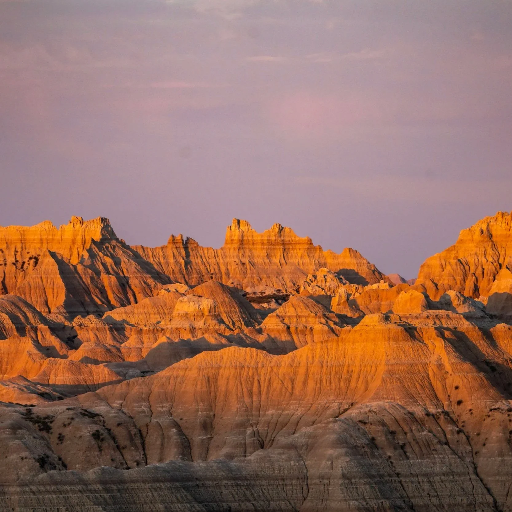


Wyoming