Hiking the 76 Trail in Spearfish Canyon in the Black Hills, South Dakota
Distance (Roundtrip): 1.4 miles / 2.3 km
Elevation Gain: 560 ft. / 171 m
The 76 Trail, officially written as the ’76 Trail, in Spearfish Canyon, South Dakota is a short but steep day hike near the Savoy Junction and Spearfish Falls that climbs to a panoramic overlook above the Spearfish Canyon Scenic Byway, where hikers are rewarded with beautiful views of the canyon and the greater Black Hills!
That said, the 76 Trail is one of the steeper day hikes out of Spearfish Canyon, comparable to the Community Caves Trail, though not as challenging as Eleventh Hour Gulch.
This is because the trail, at only 0.7 miles (1.1 km) each way, climbs continuously, with very few sections where hikers actually get a break from the near-constant uphill.
However, the effort is definitely worth the reward, especially if you happen to be visiting the Black Hills and Spearfish Canyon during peak fall colors!
76 Trailhead Parking
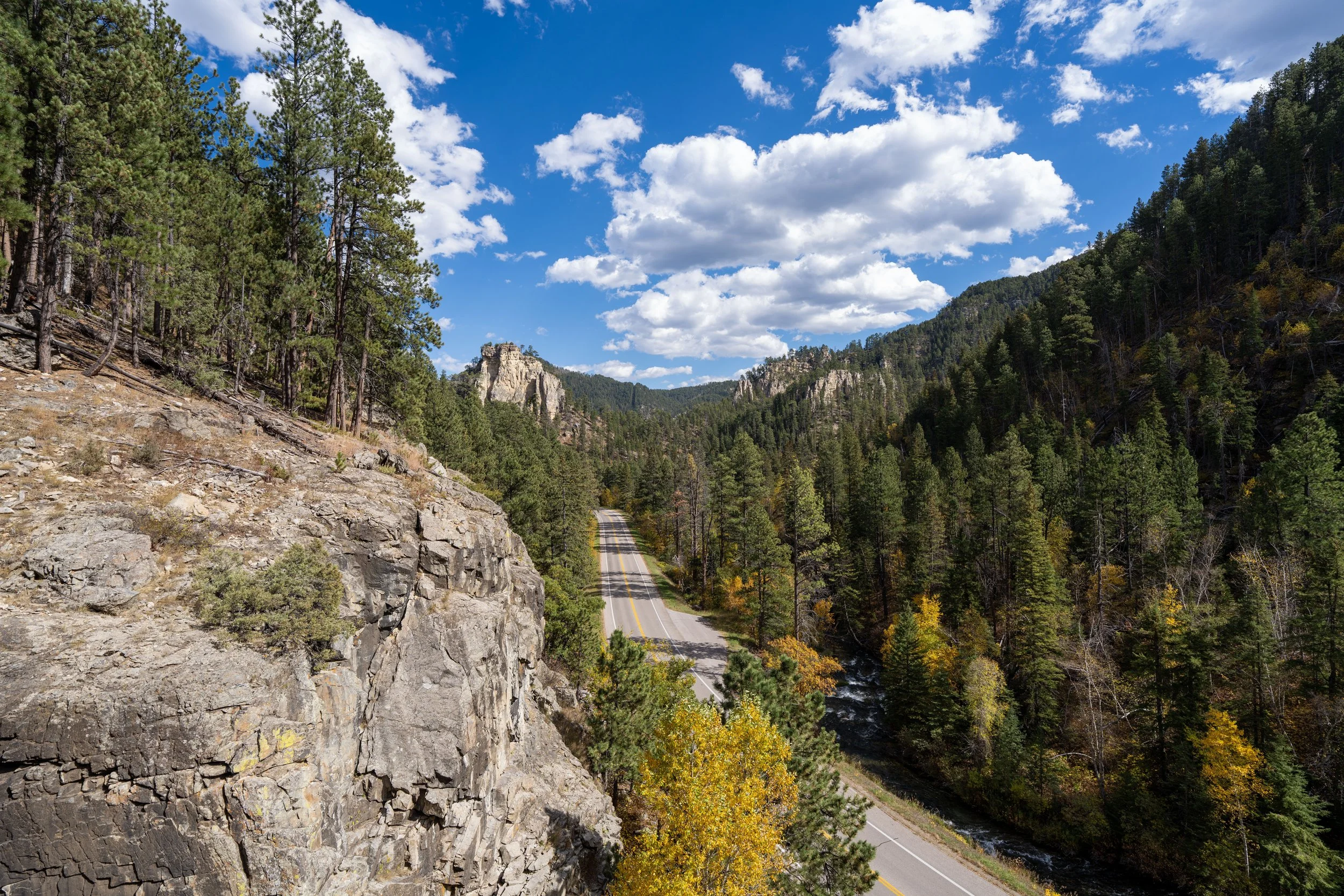
Parking for the 76 Trail can be found in one of two parking areas near Savoy Junction and Spearfish Canyon Lodge.
First, there is the option to park at the Roughlock Falls Trailhead, just to the south of the lodge off Roughlock Falls Road, or hikers can park at the Spearfish Falls Trailhead, located outside the Latchstring Restaurant on the opposite side of the highway, as there is no parking area designated specifically for the 76 Trail.
Google Maps Directions: 76 Trailhead
Hiking Checklist - South Dakota
According to the South Dakota Game, Fish and Parks (GFP) and the U.S. Forest Service, there are Black Bears in South Dakota, but encounters are considerably rare.
That said, here is a complete list of must-have things that you will want for any hike in South Dakota.
Hiking the 76 Trail
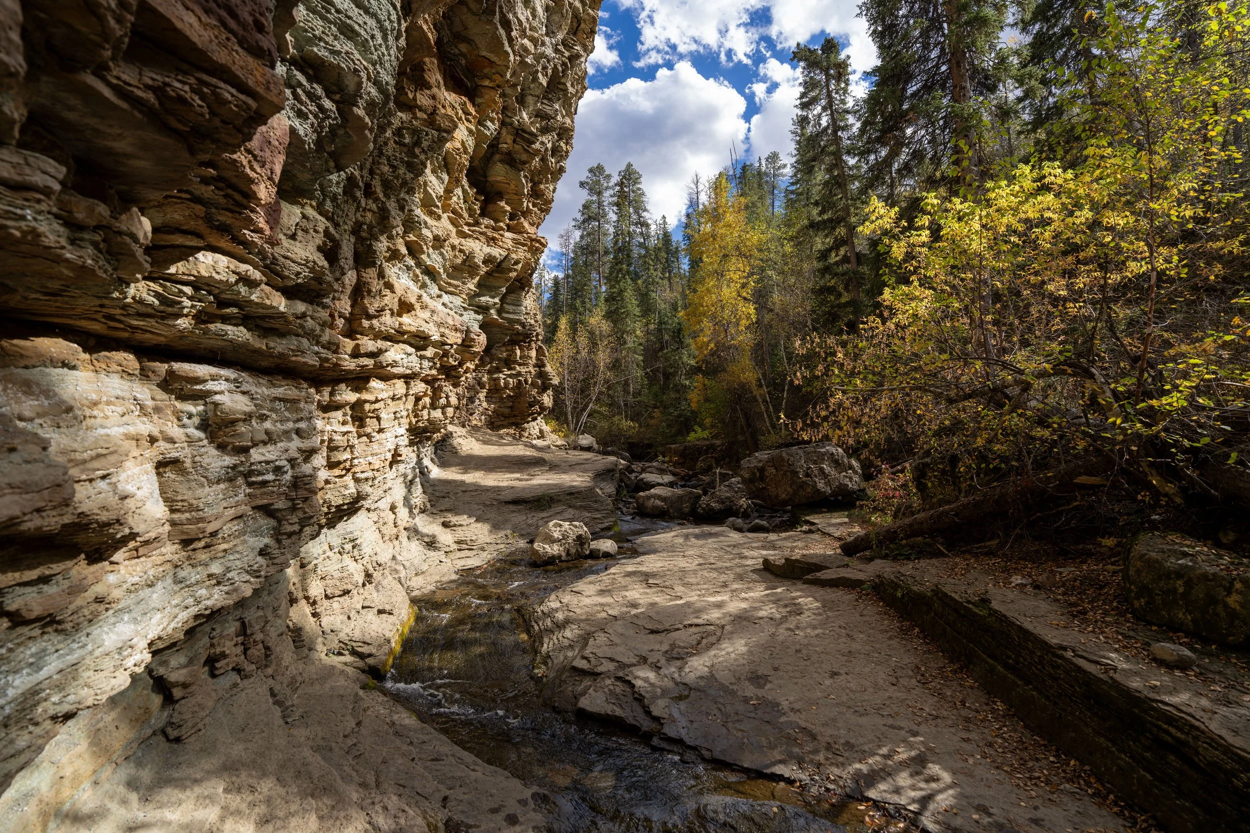
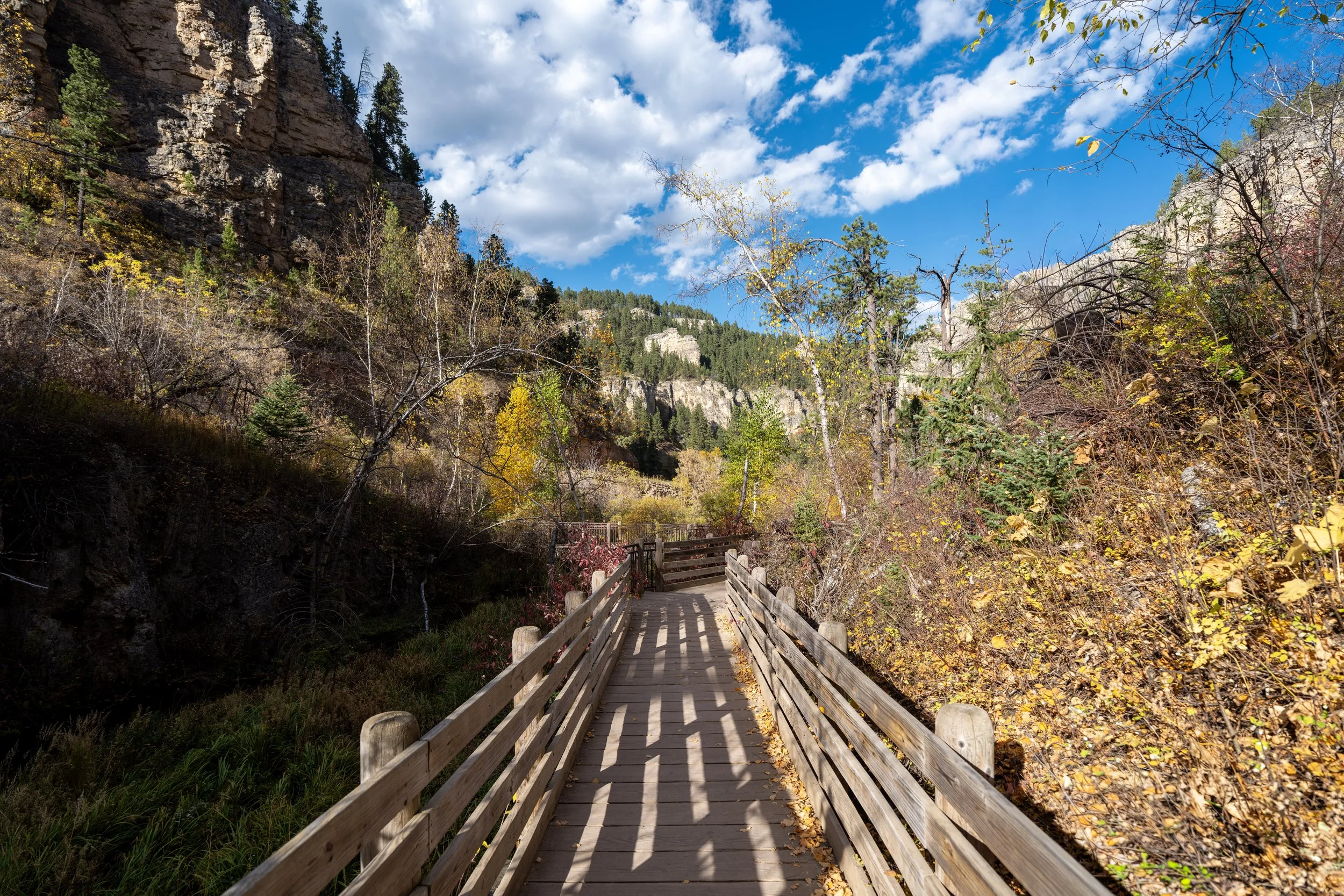
The 76 Trail begins directly off Roughlock Falls Road, across the street from the Spearfish Canyon Lodge.
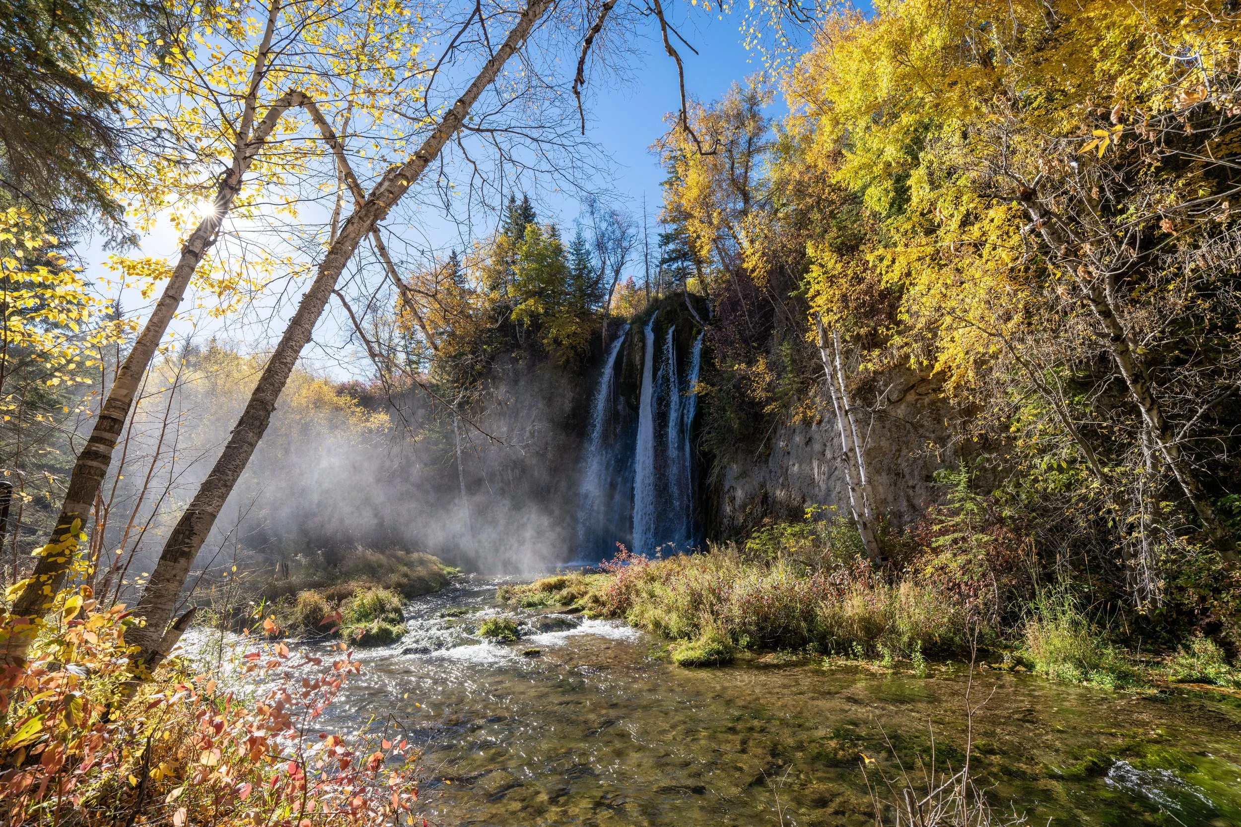
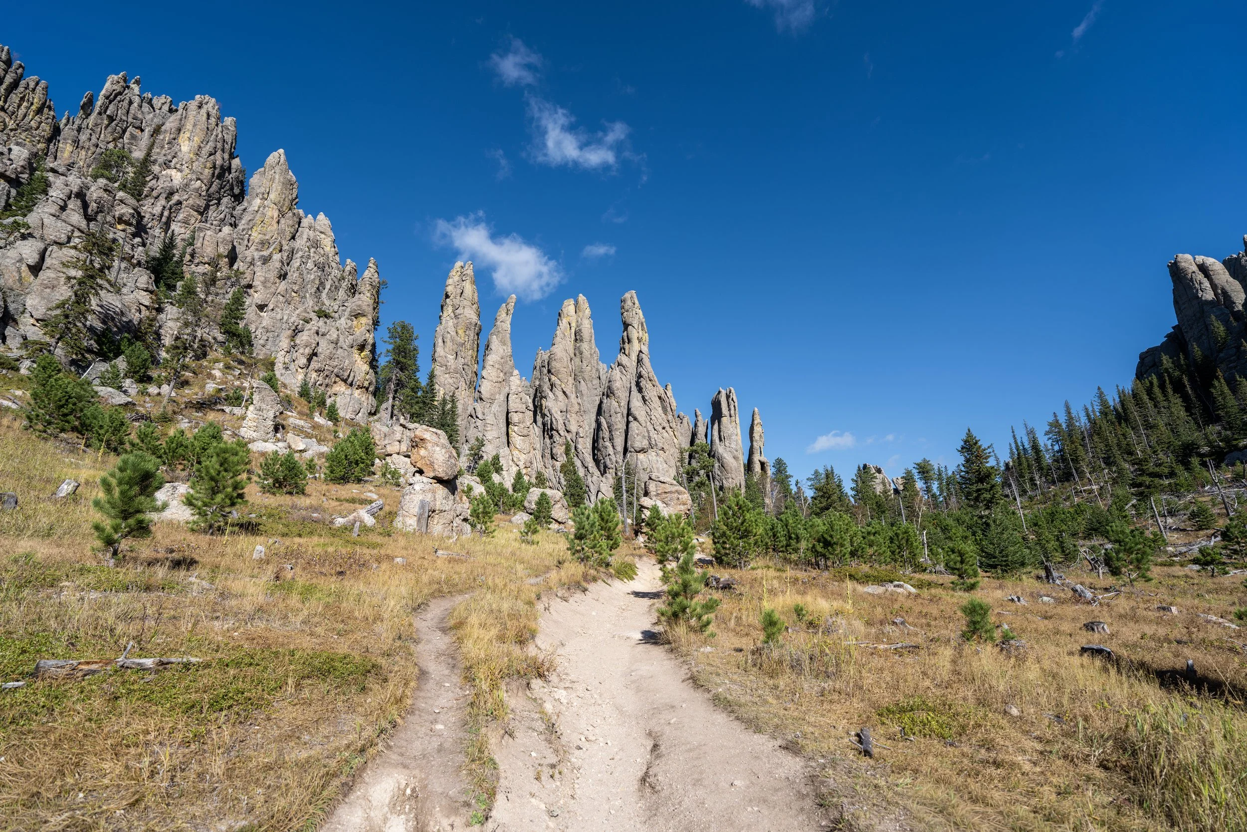
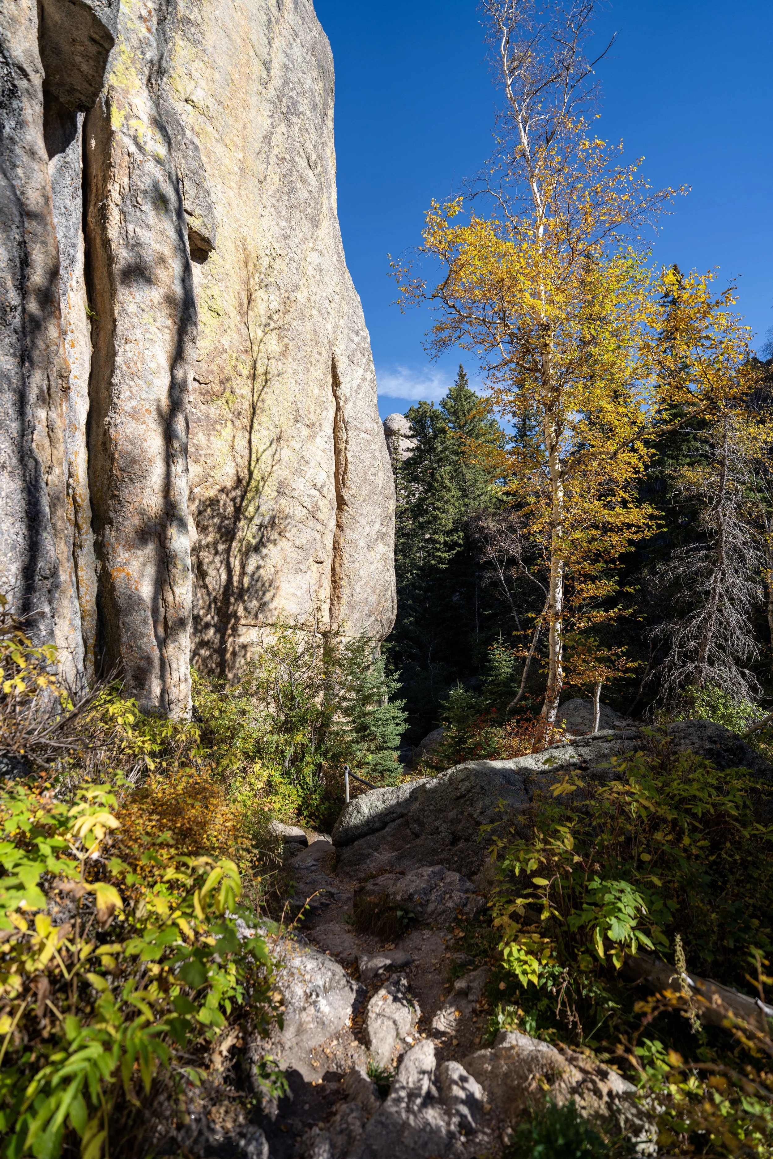
I was truly fortunate to have had the opportunity to catch peak fall colors in Spearfish Canyon and the greater Black Hills area, as this was when the Aspens, along with other trees like Oak, were really showing off!
Where Does the 76 Trail Get its Name?
The name 76 Trail is in reference to the year 1876, when the Black Hills Gold Rush brought miners and prospectors into Spearfish Canyon and established many of the early routes through the area.
Today, the 76 Trail is only a portion of the 16-mile (25.8 km) historic mining route that once ran through Spearfish Canyon, of which most segments have since faded, been reclaimed by forest, or been replaced by modern roads.
For the most part, the 76 Trail climbs constantly to the overlook at the top, known as Buzzard’s Roost, but it’s really in the second half of the trail that the steepest sections are found.
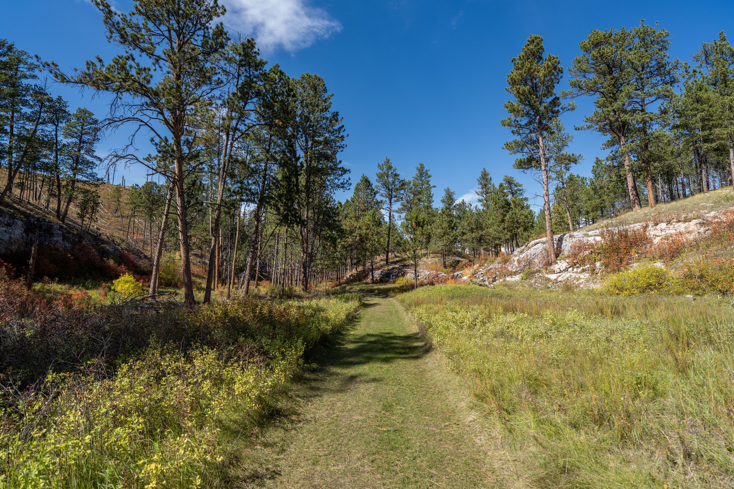
This flatter stretch in the middle is a nice break before the 76 Trail starts climbing again.
Some hikers may want to hike with trekking poles for the near-constant ascent up to Buzzard’s Roost, especially for the steep sections to come in the second half of the 76 Trail.
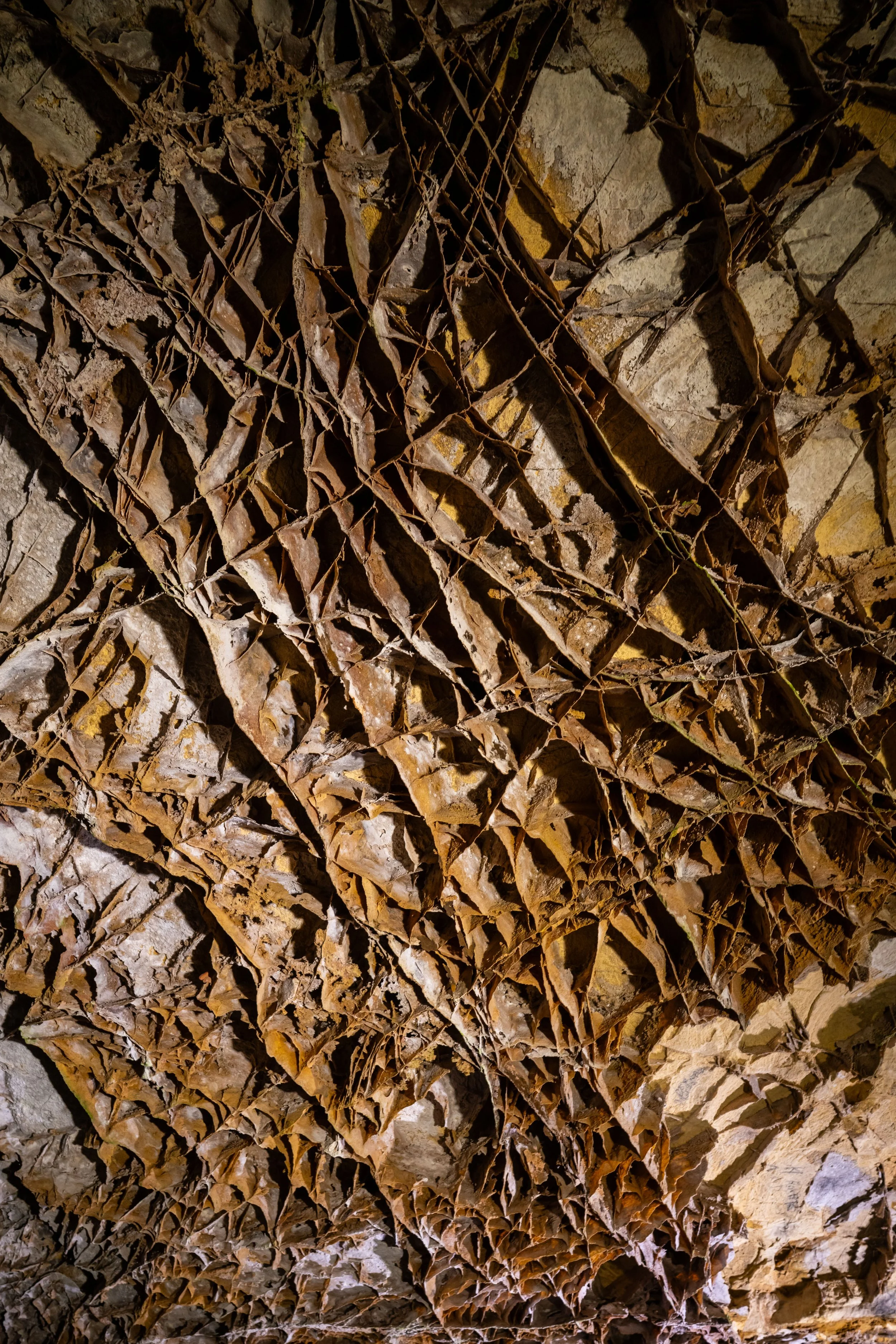
Shortly after the halfway point, the 76 Trail enters an unnamed gulch below the summit, where the trail begins ascending the steepest sections of the hike up to Buzzard’s Roost.
Once again, some hikers may want to use poles for these steep sections below the summit, which can be especially helpful on the way back down.
On that note, micro-spikes may also be necessary to stay safe on the steep 76 Trail during the off-season months, especially in the spring when the snow is melting during the day and freezing again overnight.
When the 76 Trail climbs out of the unnamed gulch, the trail levels off for a short stretch before beginning its final ascent to the summit, roughly 0.2 miles (0.3 km) from this point.
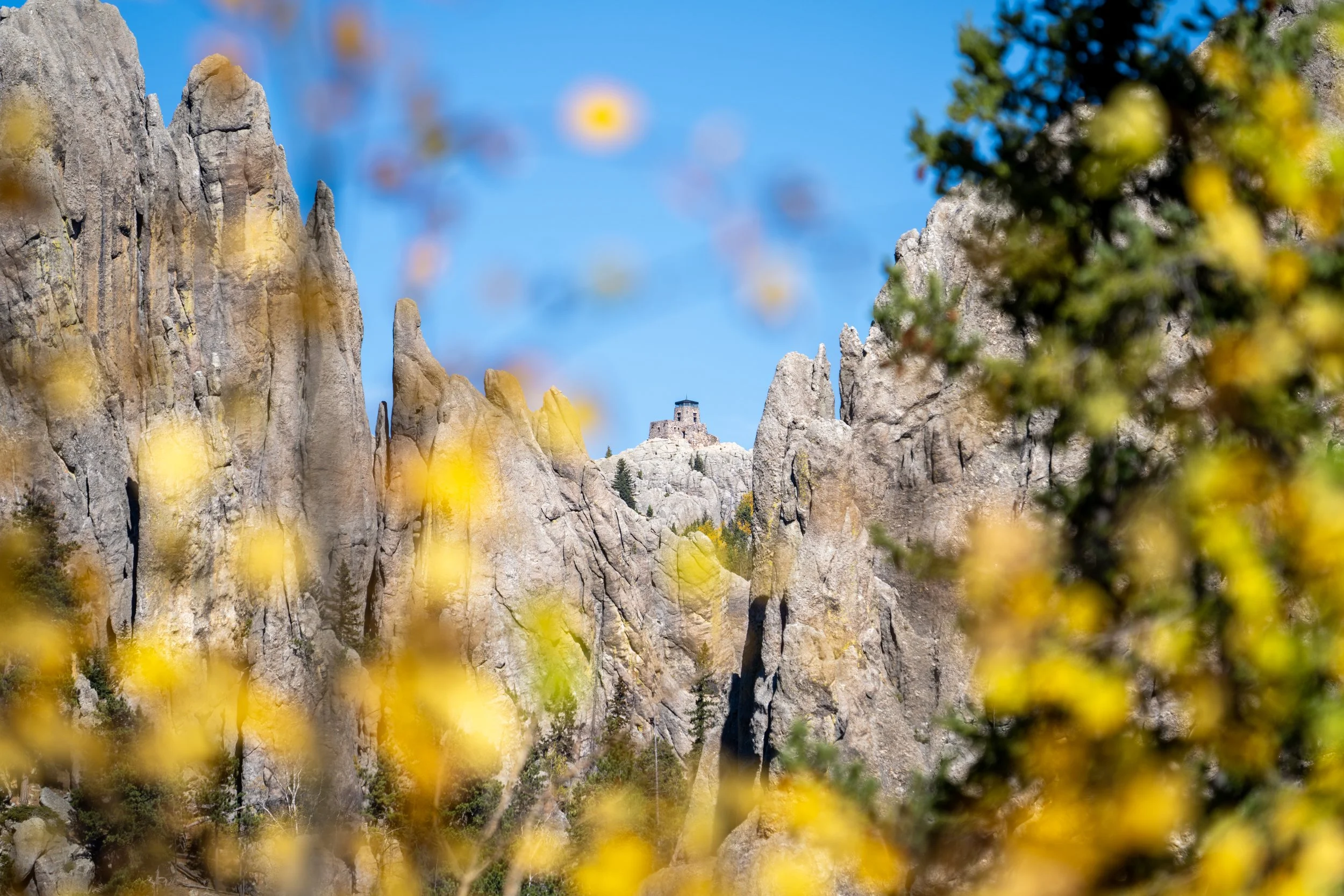
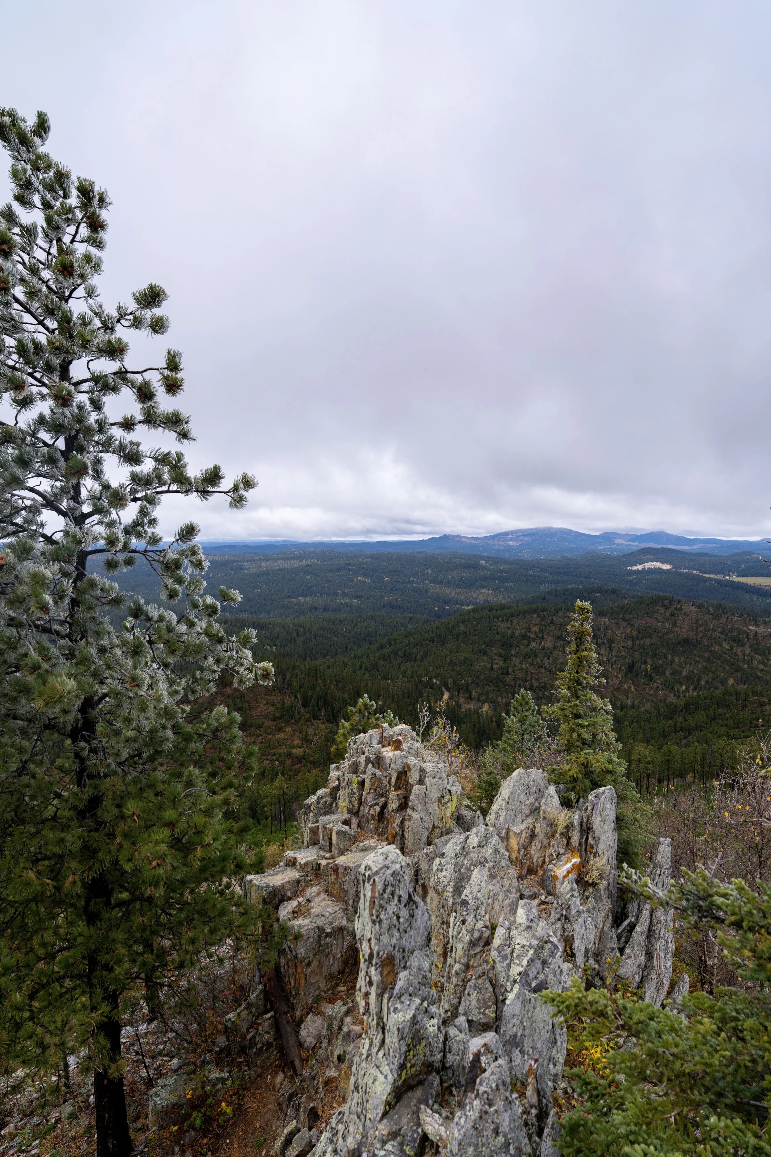
The top of the hill in the distance is Buzzard’s Roost and the summit of the 76 Trail.
Just below the summit, the 76 Trail climbs a few quick back-and-forth switchbacks.
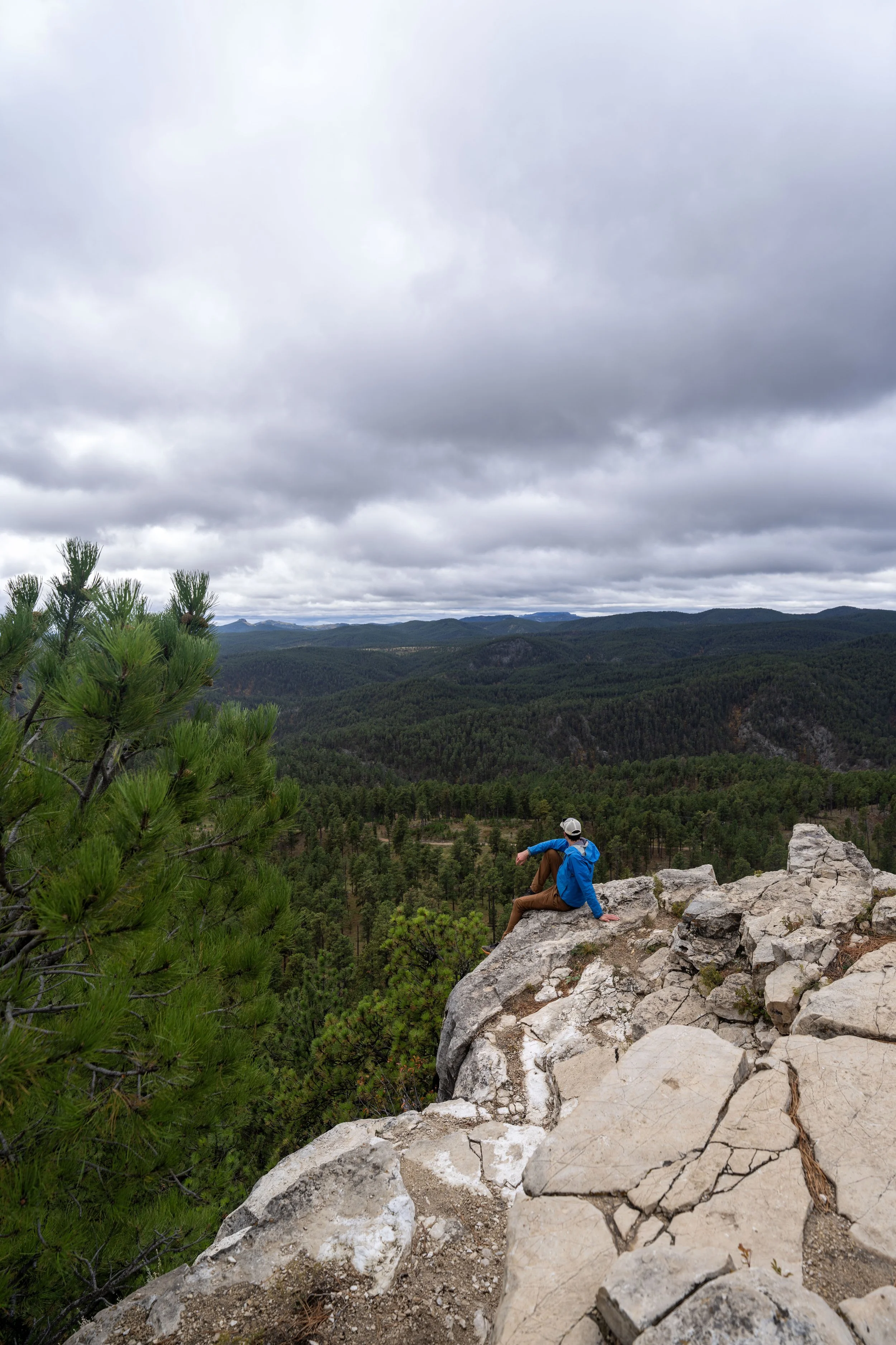
Buzzard’s Roost
This is Buzzard’s Roost and the end of the historic 76 Trail, where hikers can enjoy beautiful views up and down Spearfish Canyon!
For the most adventurous type of person, it’s worth noting that this beautiful east-facing viewpoint can make for a great place to catch the sunrise—especially if you’re beginning from as close as the Spearfish Canyon Lodge across the street!
South Dakota


Wyoming