Hiking the Presidential Trail in Mount Rushmore National Memorial in the Black Hills, South Dakota
Distance: 0.6 miles / 1.0 km
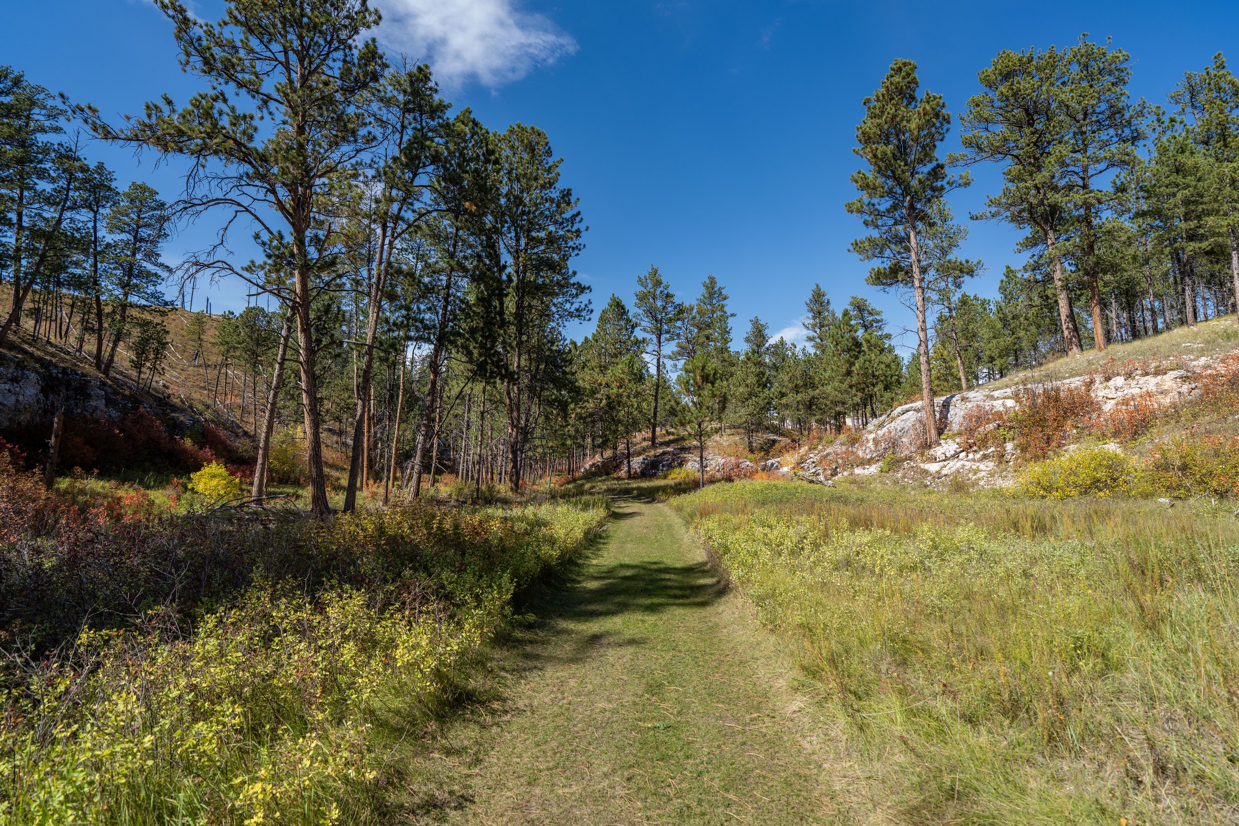
The Presidential Trail, also called the Presidential Loop Trail, in Mount Rushmore National Memorial in the Black Hills of South Dakota is a short and easy day hike along a series of boardwalks that traverses the hilly, talus slopes beneath the monument, offering beautiful and unique views of each of the four Presidents along the way!
That said, the Presidential Trail may be easy by hiking standards, but it is not ADA compliant, as there is quite a bit of elevation change over the course of the 0.6-mile (1.0 km) loop.
However, those that are up for the short hike can enjoy great views of the sculpture from angles unlike anywhere else in Mount Rushmore—not to mention the Presidential Trail is the closest visitors can get to the actual mountain!
Mt. Rushmore National Memorial Parking
Parking for the Presidential Trail is located in a large parking structure that serves all of Mount Rushmore National Memorial.
That said, the National Park Service will tell you there isn’t a fee to visit the National Memorial, but there is a small fee to park, which is not covered by federal recreation passes that work across other National Park sites.
Google Maps Directions: Presidential Trailhead (Mount Rushmore)
Hiking Checklist - South Dakota
According to the South Dakota Game, Fish and Parks (GFP) and the U.S. Forest Service, there are Black Bears in South Dakota, but encounters are considerably rare.
That said, here is a complete list of must-have things that you will want for any hike in South Dakota.
Hiking the Presidential Trail
Avenue of Flags
The Presidential Trail begins by walking the Avenue of Flags to the actual trailhead on either side of the Grand View Terrace just a short distance ahead.
Grand View Terrace
The end of the Avenue of Flags is the Grand View Terrace, where the Presidential Trail begins by going right or left toward either trailhead.
Presidential Trailhead
I chose to go left to hike the Presidential Trail in the clockwise direction, which is the most popular route around the short 0.6-mile (1.0 km) loop.
By hiking the Presidential Trail in the clockwise direction, visitors have the opportunity to follow the Mount Rushmore Self-Guided Tour in sequential order, even though it does not begin at the Presidential Trailhead.
Rather, it begins back at the Avenue of Flags, which hopefully helps explain why number one doesn’t start here.
Presidential-Heritage Village (Youth Exploration Area) Junction
The Heritage Village is the first of four brief side trails off the Presidential Loop Trail, and it’s where visitors can learn about the history of the Black Hills and the Lakota, Nakota, and Dakota peoples through presentations shared by American Indian interpreters.
From here, go right to continue around the Presidential Trail toward the best views of the Mount Rushmore Memorial.
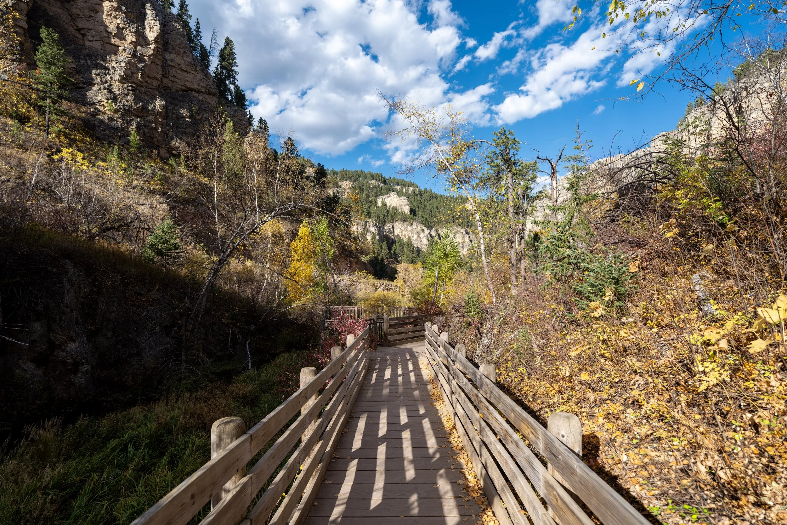
After the Heritage Village, the Presidential Trail will begin the boardwalks, which make up about 0.25 miles (0.4 km) of the overall hike.
Presidential-Washington’s Window Junction
Almost immediately after beginning the boardwalk, the Presidential Trail will meet the second of four short side trails off the main loop—this one leading to a unique view of George Washington through a crack in a rock!
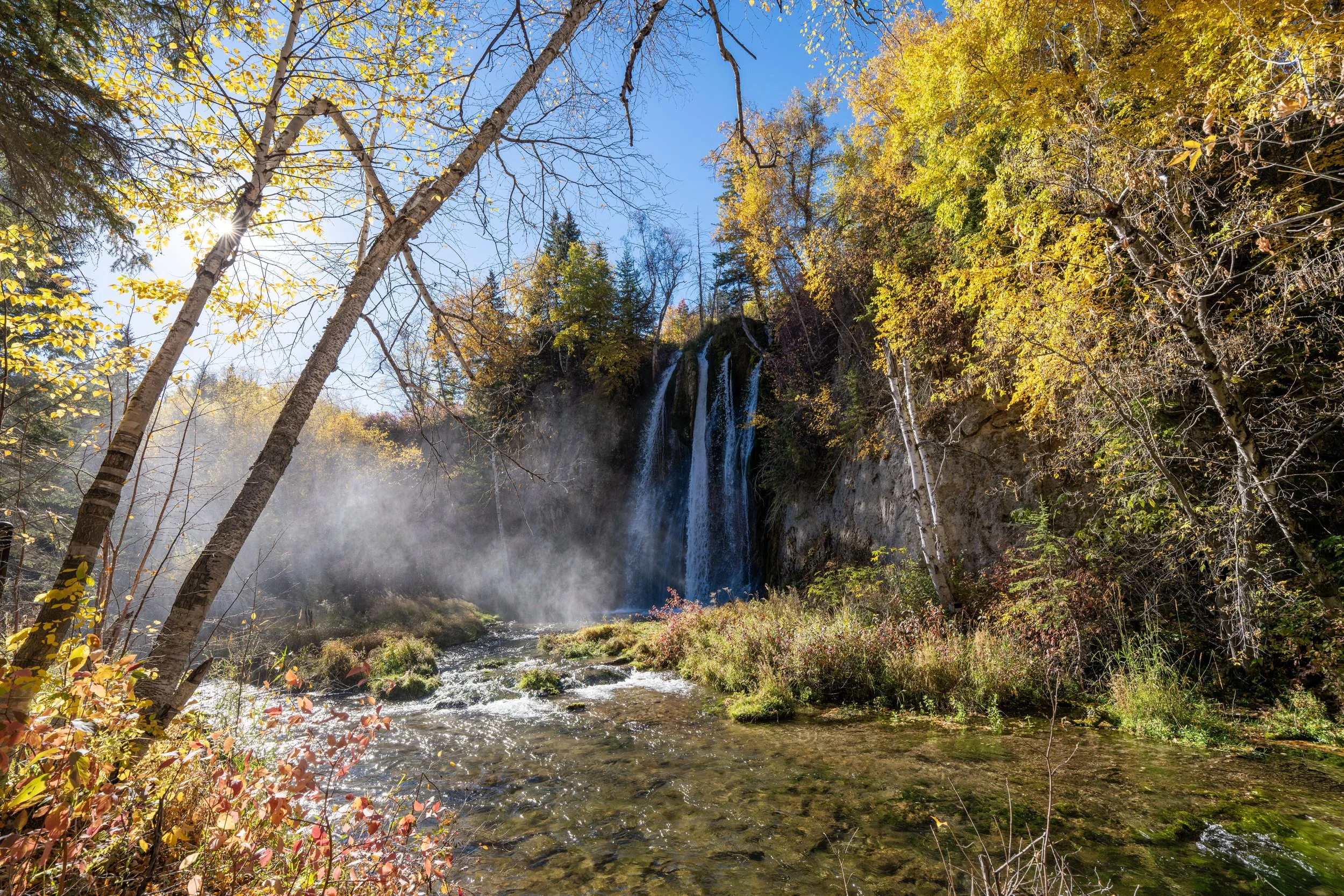
Washington’s Window
This unique view of George Washington is definitely worth leaving the main loop to see!
Abraham Lincoln Wayside
The next few areas on the Presidential Trail pass beneath different viewpoints of each President, where visitors can learn about each of the four Presidents individually, beginning with Abraham Lincoln.
George Washington Wayside
The George Washington Wayside is located almost immediately after Abraham Lincoln, but between this and the next, there is quite a significant gap before the Presidential Trail reaches the final two.
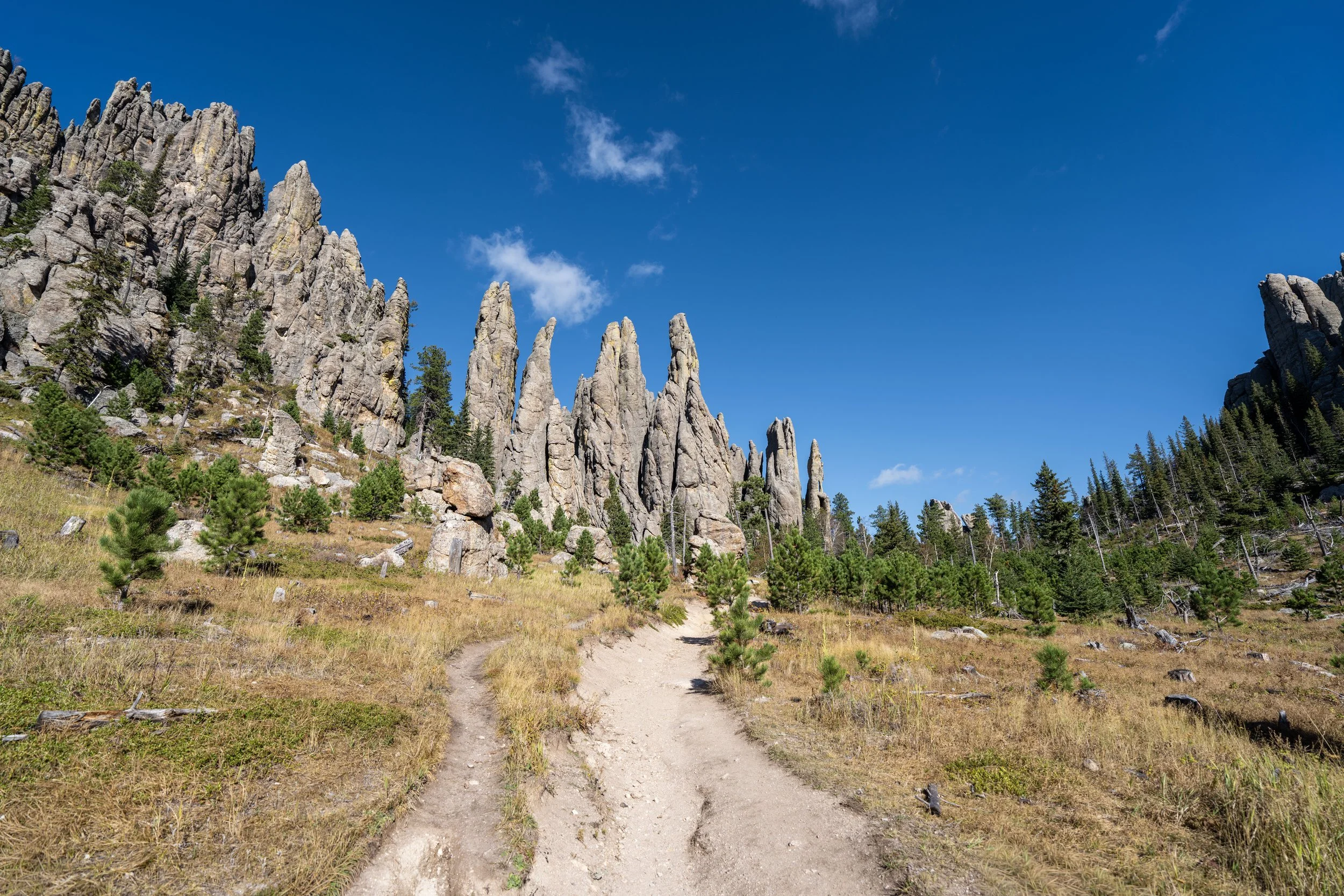
Presidential-Talus Terrace Junction
This is the third of the four short side trails off the Presidential Loop, and it leads to the Talus Terrace—the closest point visitors can get to the actual memorial!
That said, go left to hike up to the Talus Terrace, or right to continue around the Presidential Trail toward the Sculptor’s Studio.
This is the short side trail up to the Talus Terrace.
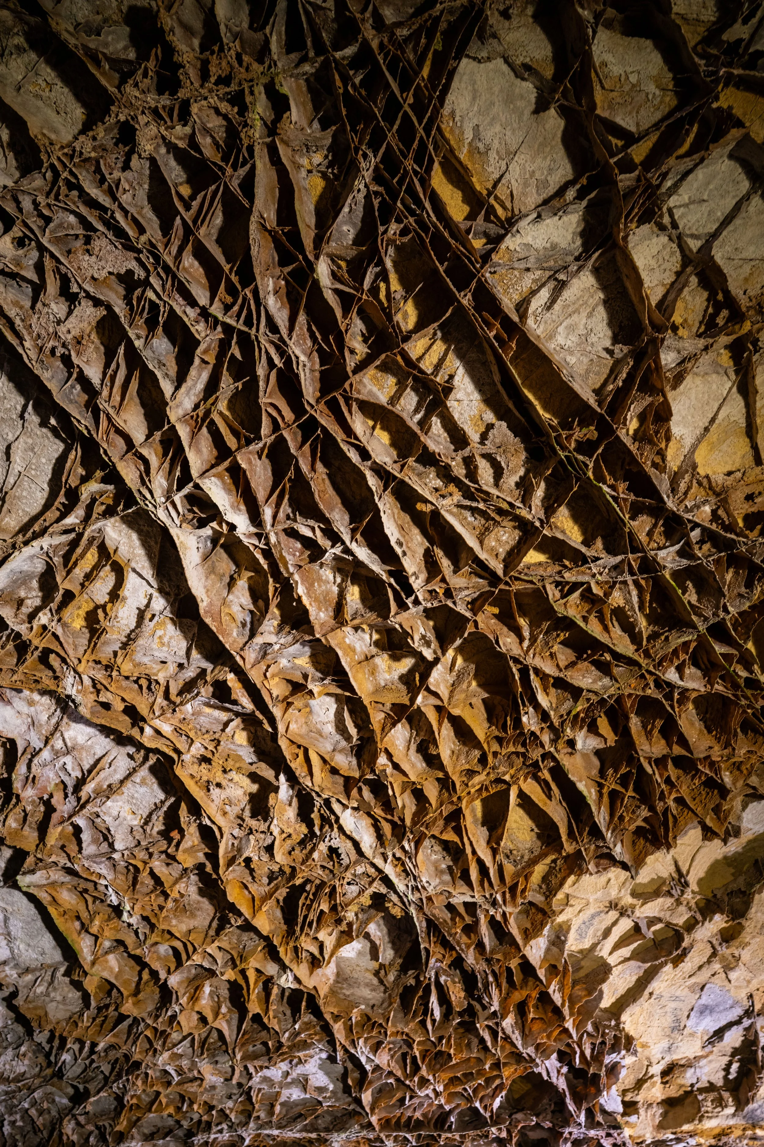
Talus Terrace
As previously mentioned, the Talus Terrace is the closest visitors can get to the actual sculpture, but what makes it so unique is that visitors can see how much granite was blasted off the mountain to carve the memorial we see today.
The National Park Service estimates 450,000 tons (408,233 t) of material, which is roughly equivalent to the weight of 300,000 midsize cars, assuming an average of about 1.5 tons (1.4 t) per car.
After the Talus Terrace, the Presidential Trail descends about 130 ft. (40 m) to the lowest point on the entire loop, just below the Sculptor’s Studio.
This is the view looking back toward the Grand View Terrace.
Thomas Jefferson Wayside
On the hike down, don’t forget to turn back toward Mount Rushmore at each of the final two Presidents, as there are more unique views through the Ponderosa trees to enjoy along the way!
Since Mount Rushmore National Memorial is open year-round—excluding Christmas—it’s important to remember that the boardwalk can be very slippery during the winter off-season.
This is especially true come spring, when snow is melting during the day and refreezing overnight, which is when some visitors may want to bring trekking poles and micro-spikes to hike the Presidential Trail safely.
Theodore Roosevelt Wayside
The Theodore Roosevelt Wayside is the fourth and final President highlighted on the loop, which is located just a short distance before the end of the boardwalk and the Sculptor’s Studio.
This is where the Presidential Trail leaves the boardwalk behind and heads over to the Sculptor’s Studio to begin the hike back up to the Grand View Terrace.
This is the bottom of the Sculptor’s Studio and the lowest point on the entire Presidential Loop Trail.
Sculptor’s Studio
The Sculptor’s Studio is where visitors can learn about how Mount Rushmore was carved and the tools and techniques used in the late 1920s to early 1940s to create the sculpture as we know it.
The Sculptor’s Studio is typically open from late May to September 30th, weather permitting.
After the Sculptor’s Studio, the Presidential Trail continues to climb back up to the Grand View Terrace, gaining about 110 ft. (34 m) from the bottom of the studio to the beginning.
Presidential-Nature Junction
The only place the Presidential Trail splits with another trail on the 0.6-mile (1.0 km) loop is at the Borglum View Terrace, just below the Grand View Terrace and the end of the hike.
That said, the Nature Trail is more or less just a short connector to the parking structure rather than a separate day hike, but it can make for a nice alternative walk back to your car if you weren’t interested in continuing back up to the beginning.
In any case, go right (straight) at this split to complete the Presidential Trail.
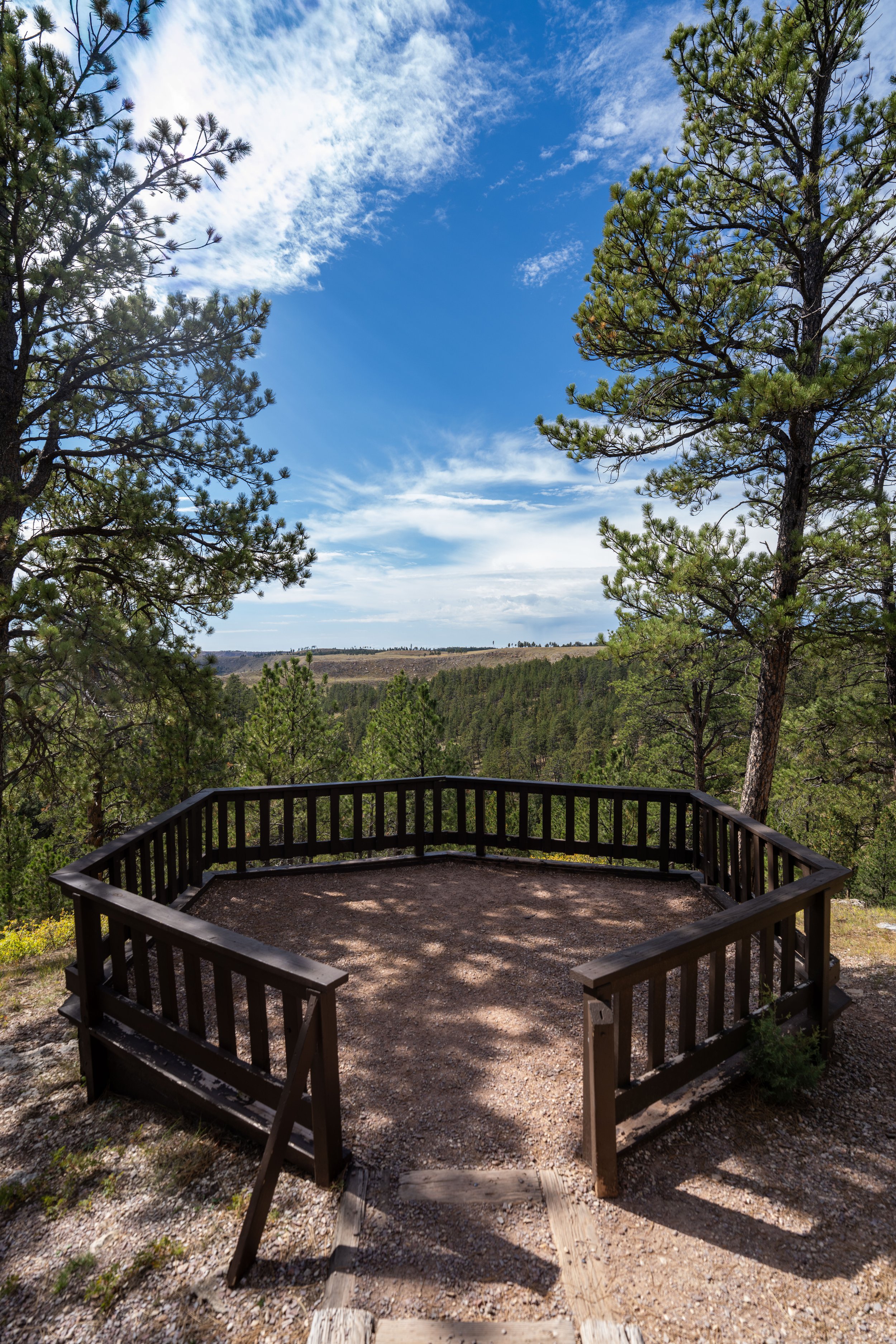
Borglum View Terrace
The Borglum View Terrace is the last viewpoint before the Presidential Trail returns to the beginning, and it’s where visitors can learn about Gutzon Borglum, the man behind the vision that shaped Mount Rushmore, as well as the timeline that made it all possible.
To stay on the Presidential Trail, go left at this final split to continue up the stairs, as the path to the right simply leads over to a restroom just off the main trail.
Presidential-Historic View Terrace Junction
Just a few steps before the end of the loop, the Presidential Trail reaches the fourth and final short side trail, which leads to the Historic View Terrace.
From here, visitors can either go right to see Mount Rushmore from the Historic View Terrace or go straight to return to the Grand View Terrace; both offering similar views of Mount Rushmore.
Grand View Terrace (Presidential Trailhead)
This is where Presidential Trail ends on the other side of the Grand View Terrace from where this post began.
Once back, I recommend checking out the amphitheater and the visitor center if you hadn’t before starting the Presidential Loop.
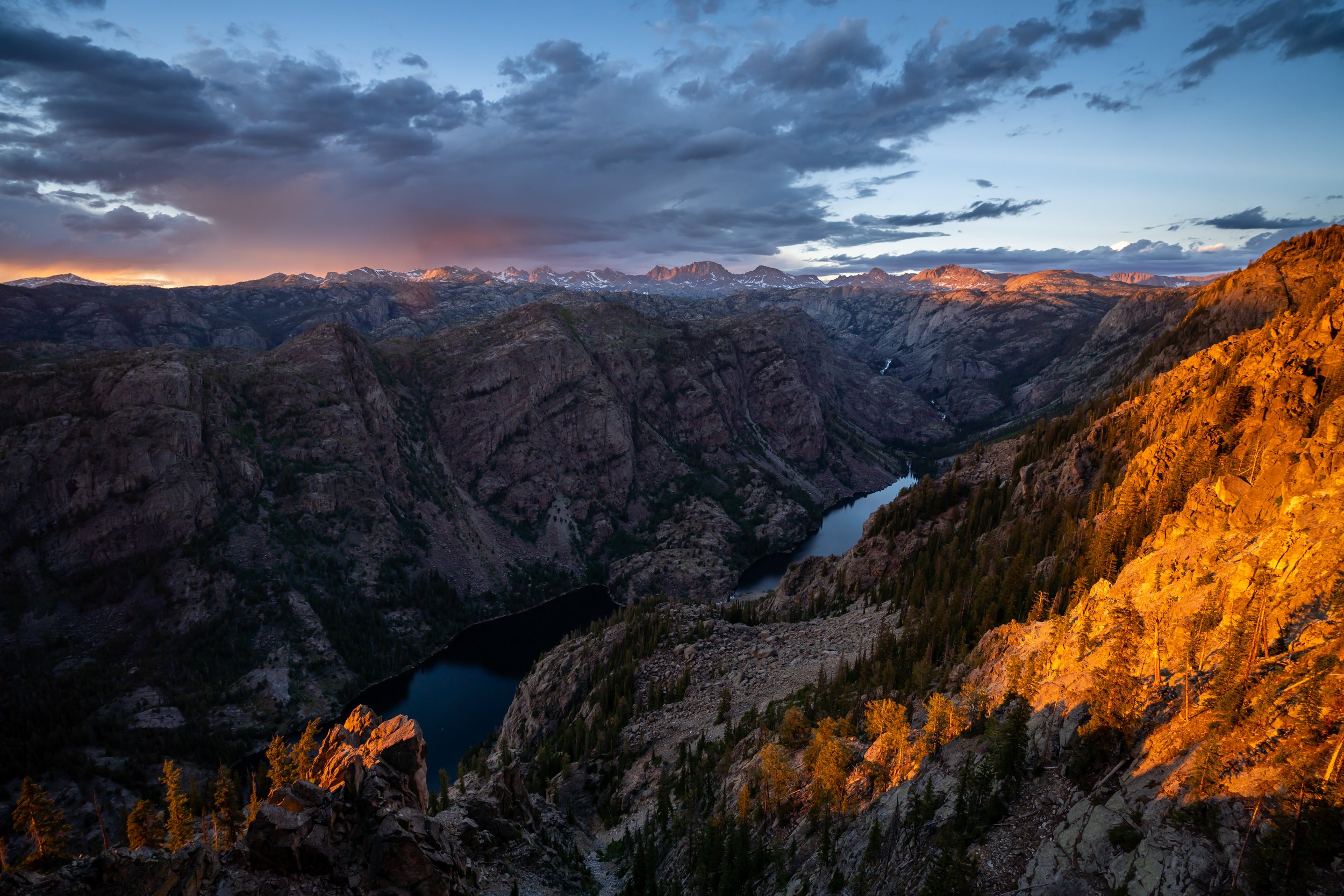
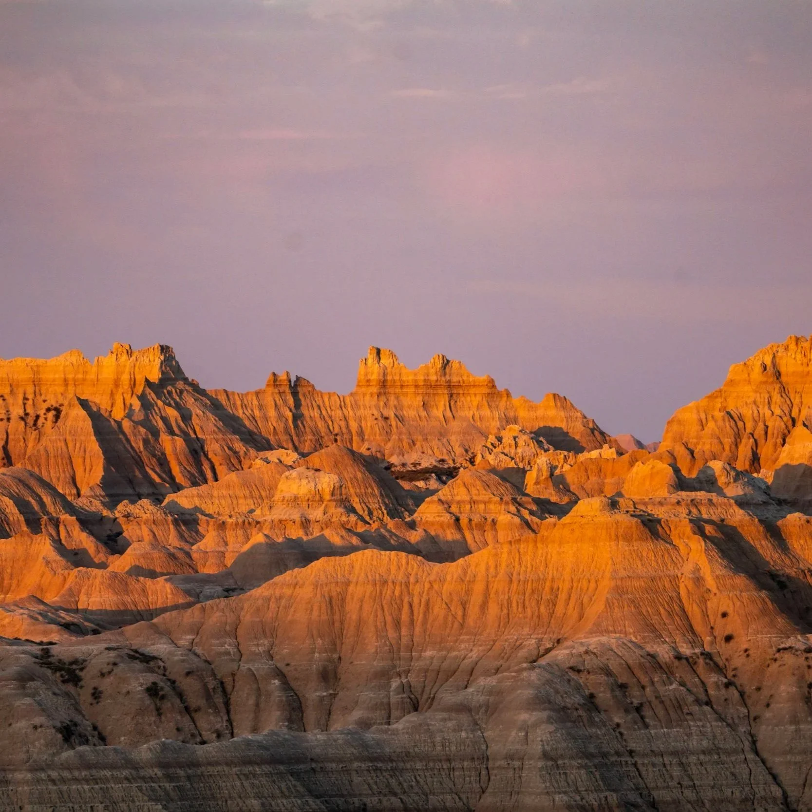
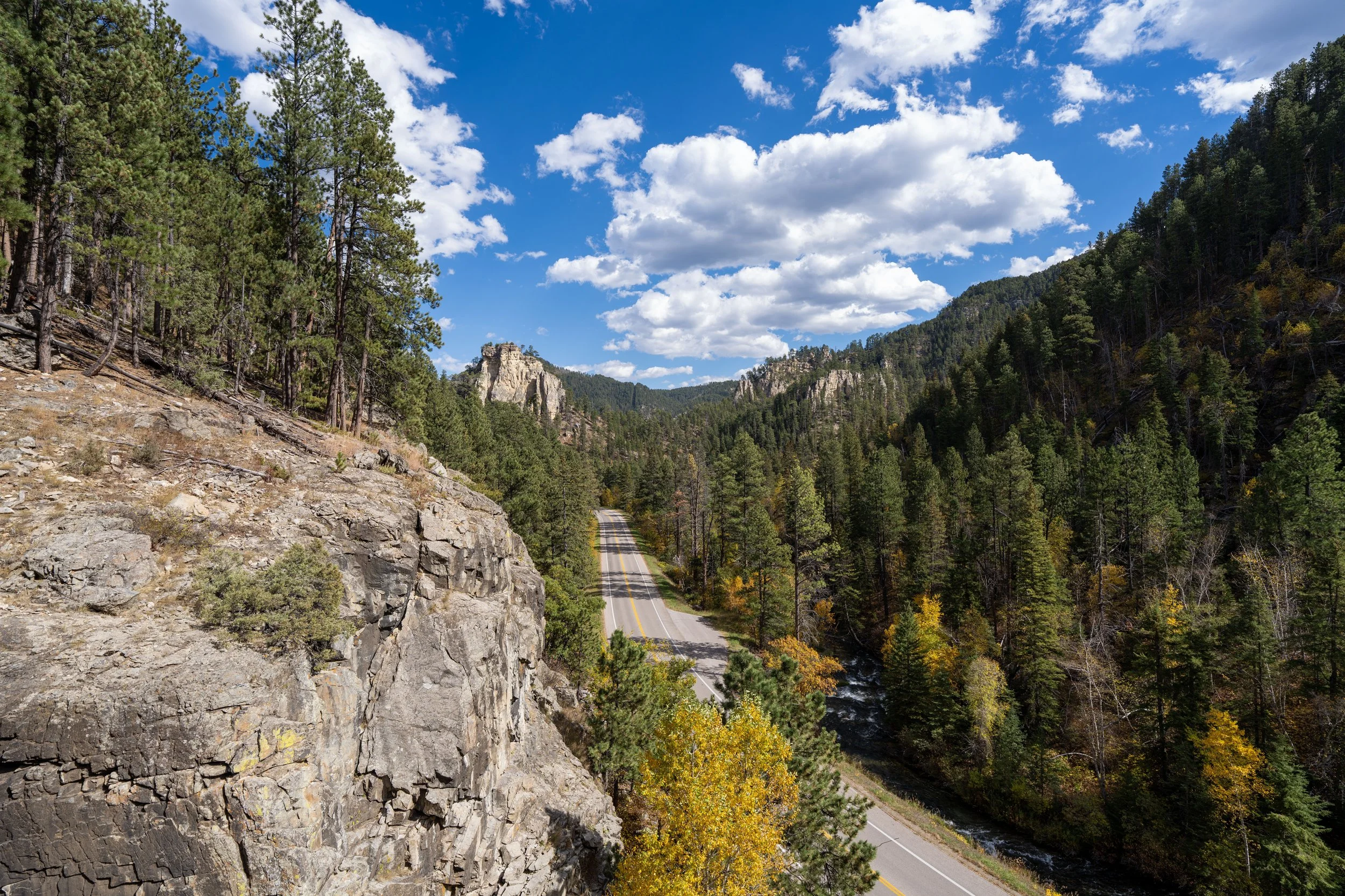
South Dakota


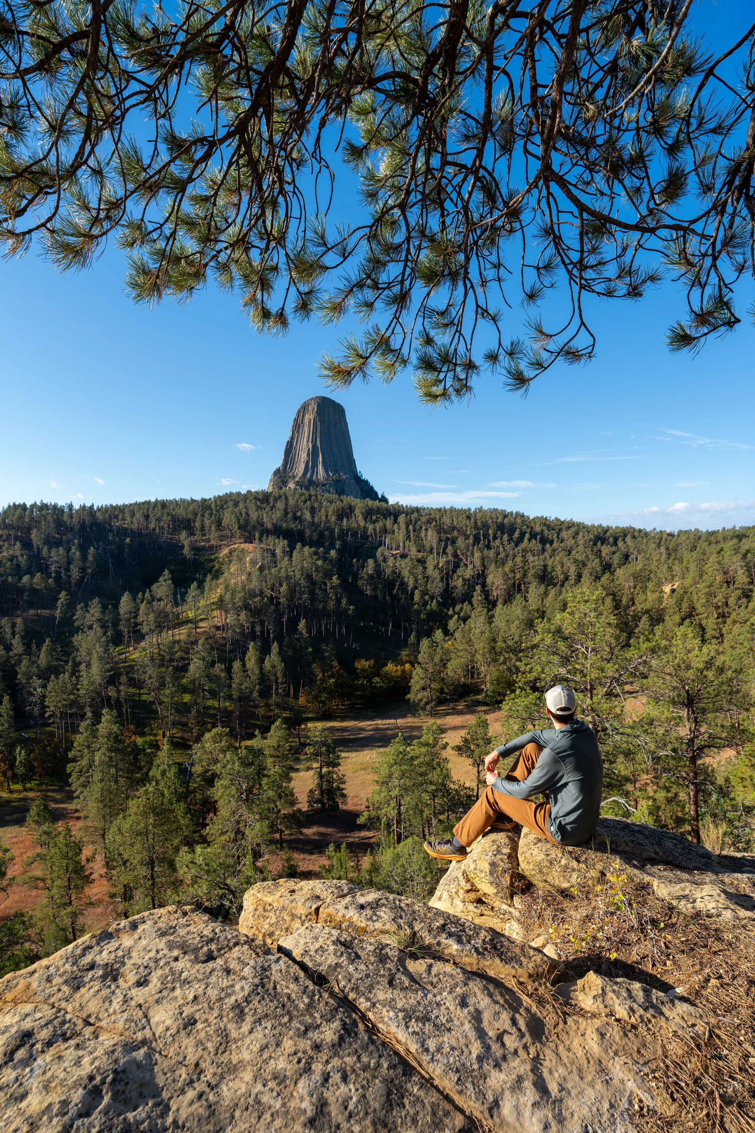
Wyoming