Hiking the Sky Island Forest Trail in Great Basin National Park
Distance: 0.4 miles / 0.6 km
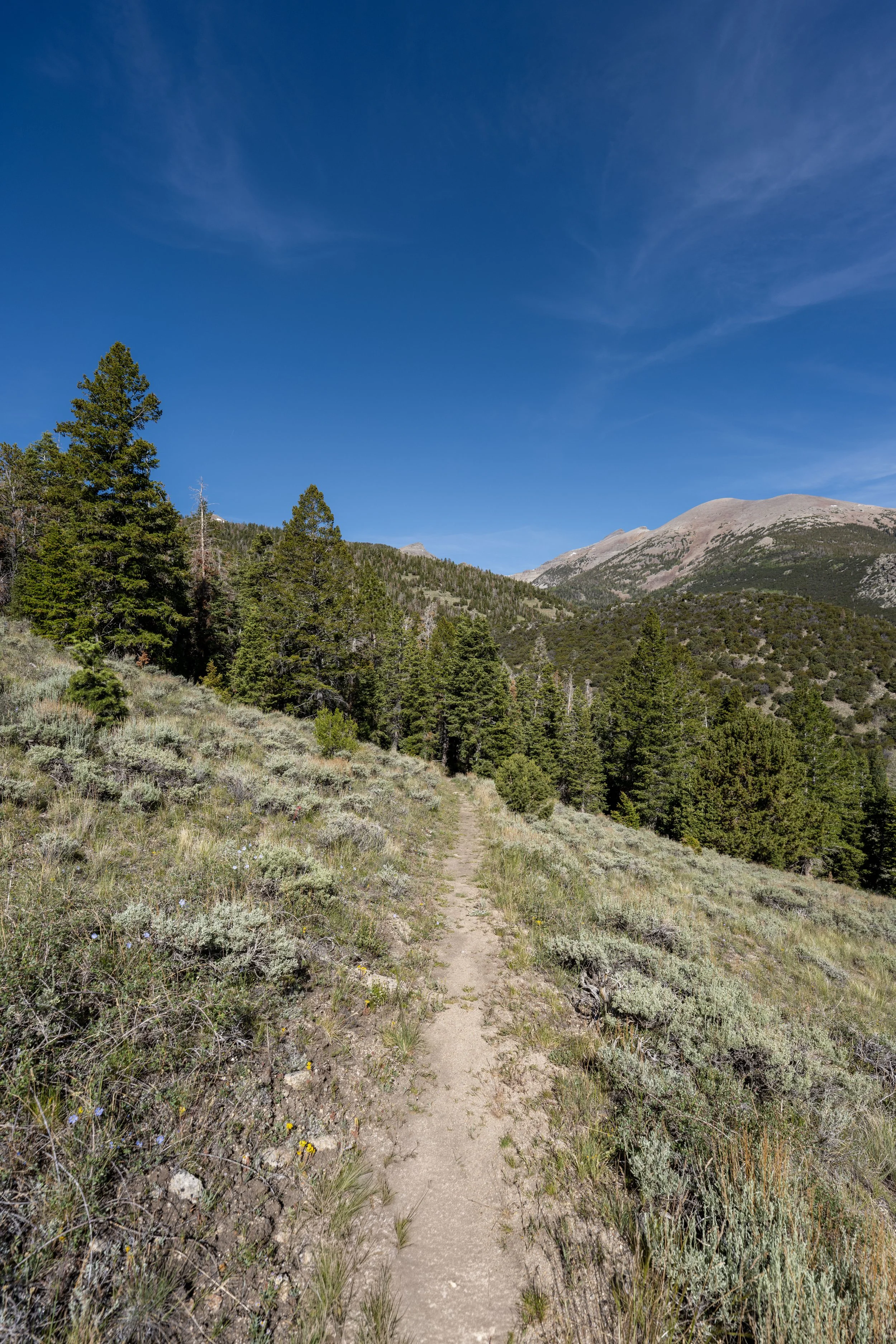
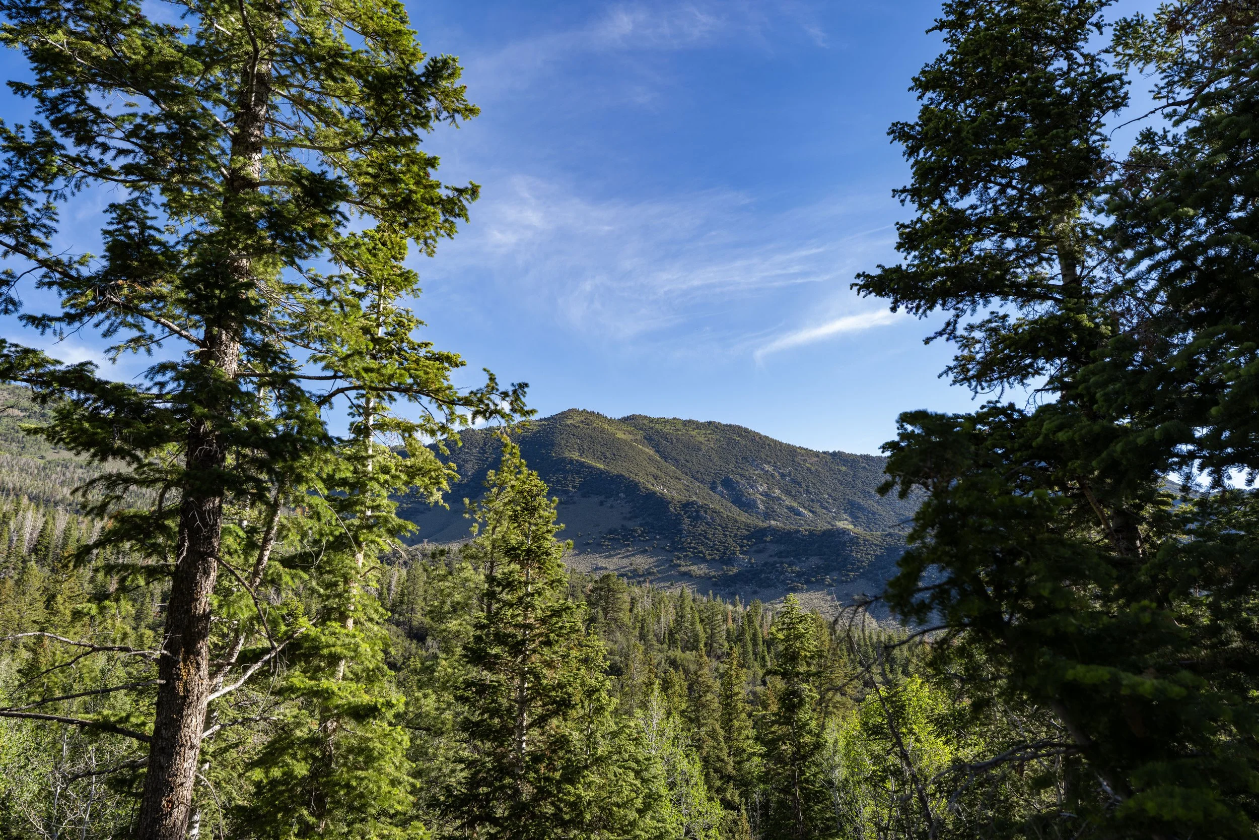
The Sky Island Forest Trail, often called the Island Forest Trail, in Great Basin National Park is a very short, easy, ADA-accessible loop trail where visitors can learn and see firsthand what the terms "Sky Island" or "Island in the Sky" really mean!
That said, the Sky Island Trail is truly a very quick and easy adventure that often takes no more than 10–15 minutes to enjoy, which is why I highly recommend adding it to one of the many longer day hikes that also begin at the Bristlecone–Alpine Lakes Trailhead.
This way, you can make the most of your time when visiting Great Basin’s most popular trailhead. If you’re having trouble deciding which adventure to prioritize, I personally think the Glacier Trail is the best day hike in Great Basin National Park—that is, if you decide to hike past the end of the maintained trail to the exposed glacier, as outlined in my separate article!
Sky Island Forest Trailhead Parking
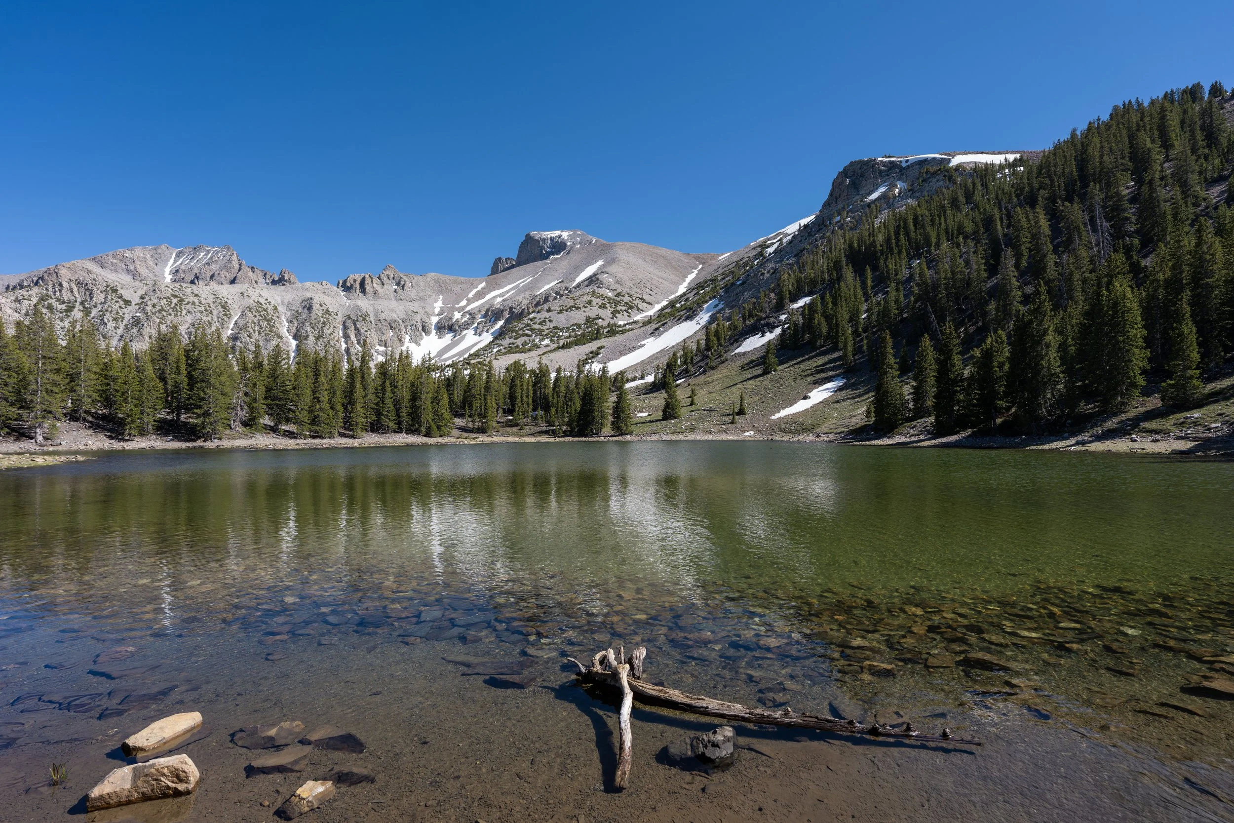
Parking for the Sky Island Forest Trail is located at the very end of Wheeler Peak Scenic Drive, in the same parking area that serves the Bristlecone Trail, the Glacier Trail, the Alpine Lakes Loop Trail, and the alternate route up Wheeler Peak.
That said, the Bristlecone–Alpine Lakes Trailhead is the most popular trailhead in Great Basin National Park, though using the word 'popular' does not mean the same thing here as it does in countless other parks, such as all the different trailheads off the Yosemite Valley Loop Trail in Yosemite National Park.
Google Maps Directions: Sky Island Forest Trailhead
Hiking Checklist - Great Basin
Here is a complete list of must-have things that you will want for any hike in Great Basin National Park.
Hiking the Sky Island Forest Trail
As previously mentioned, the Sky Island Forest Trail begins at a joint trailhead that serves the Alpine Lakes Loop Trail, the Bristlecone Trail, the Glacier Trail, and the alternate route up Wheeler Peak.
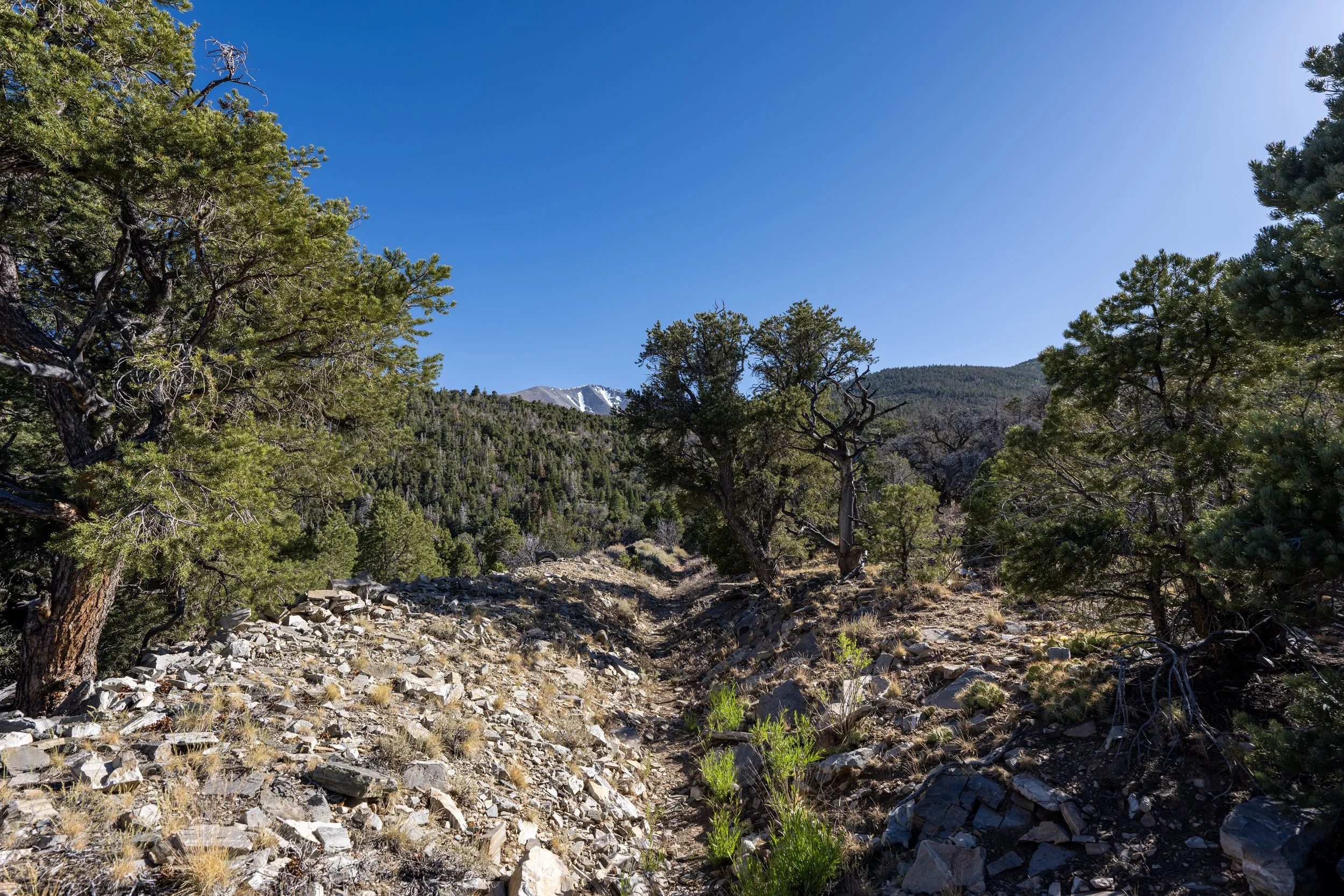
However, the Island Forest Trail is the first of all these adventures to branch away from the rest, which is why it is such a short, 0.4-mile (0.6 km) roundtrip hike.
Sky Island Forest-Alpine Lakes Loop Junction
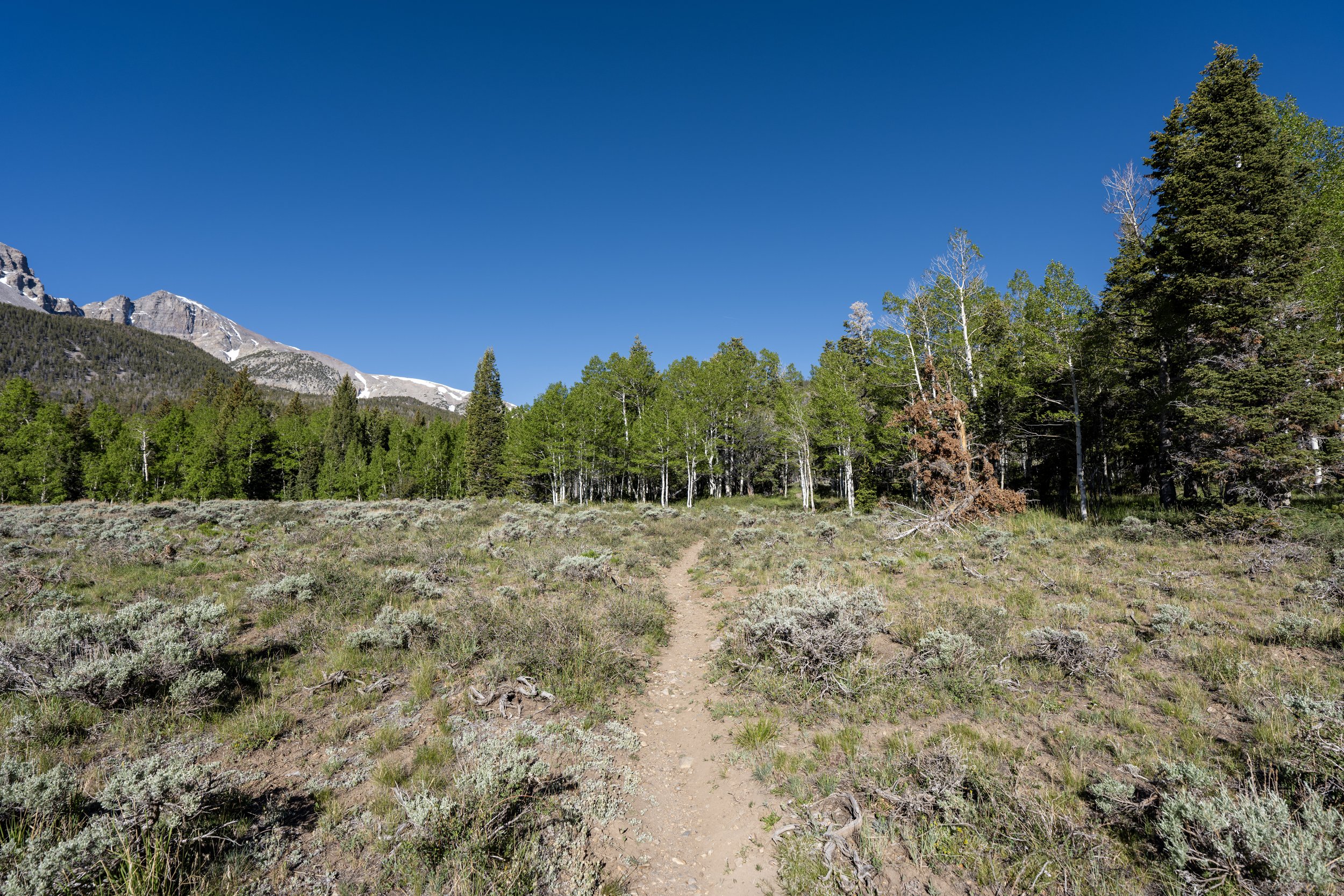
After just a few steps, the Sky Island Forest Trail splits away from the Alpine Lakes Loop Trail and the rest of the day hikes that branch away from this central loop.
Once here, go straight (left) to continue on the Sky Island Forest Trail toward the start of the loop. However, I recommend keeping the Alpine Lakes Loop Trail in mind for the hike back, as it’s so much more rewarding to combine this short adventure with one or a few of the others linked below.
Read My Separate Posts: Alpine Lakes Loop Trail / Bristlecone Trail / Glacier Trail / Wheeler Peak Summit Trail
Sky Island Forest Loop Trail
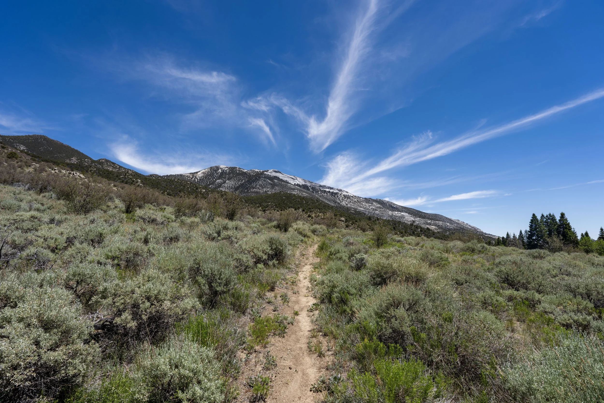
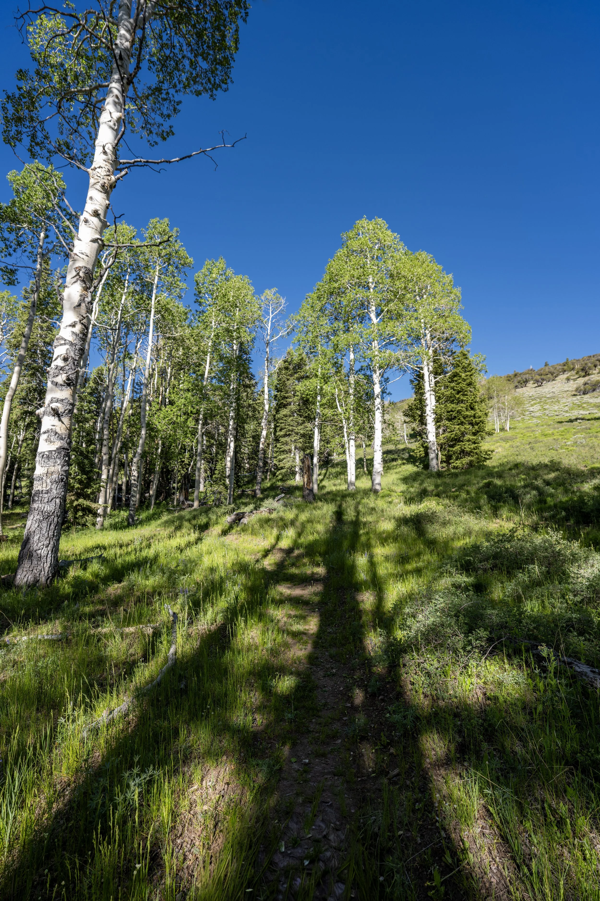
After just over 0.1 miles (0.2 km), the Sky Island Forest Trail splits into a 0.25-mile (0.4 km) interpretive loop.
In my opinion, I don’t think it makes a difference which direction you decide to go—at least not in the same way as on the Bristlecone Interpretive Loop, where the signs are numbered.
In this article, I chose to go right in the counterclockwise direction around the loop.
What is a "Sky Island"?
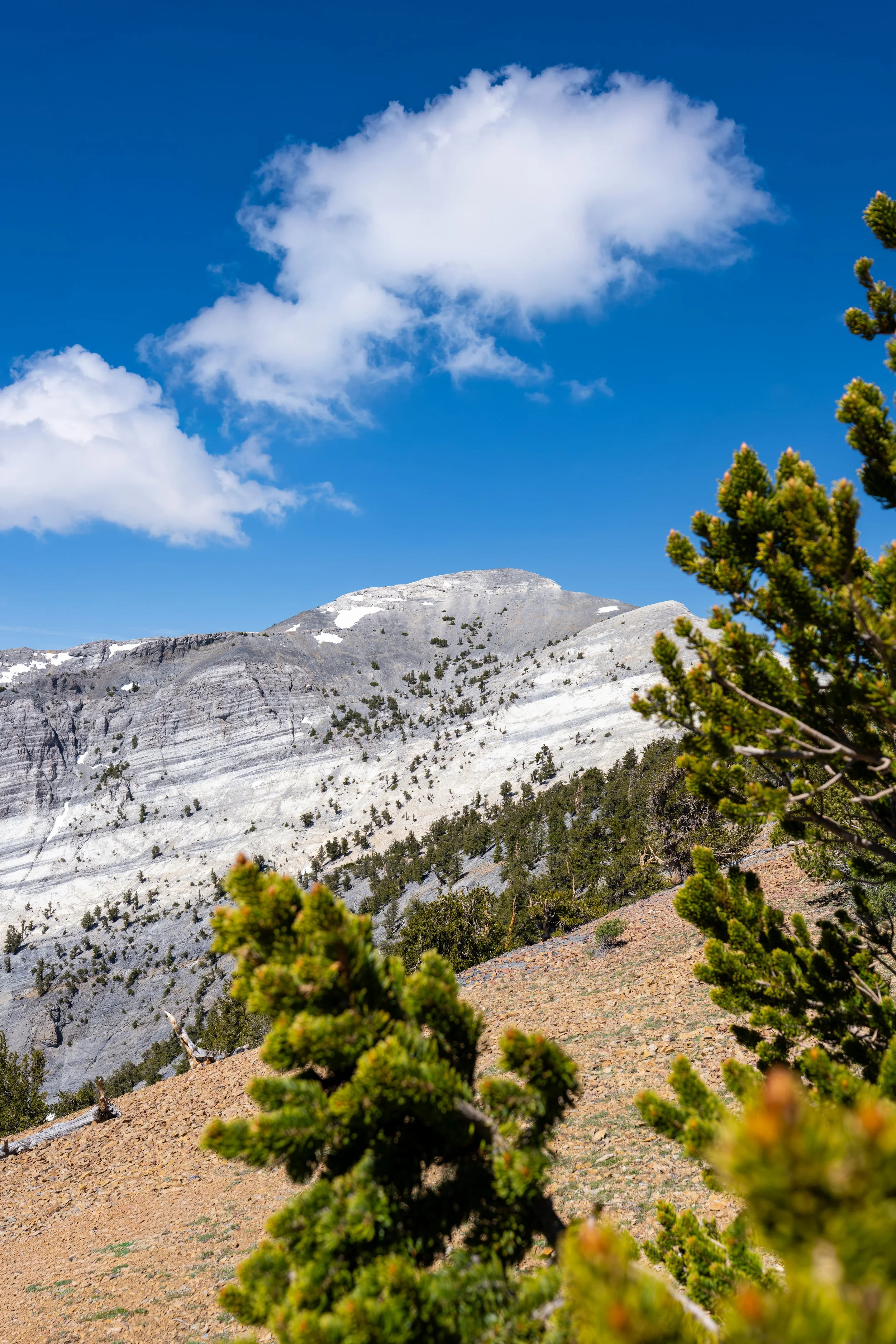
The term "Sky Island," or "Island in the Sky," refers to an elevated habitat, typically a mountain range, that is cut off from the surrounding environment by a much lower, often desert-like environment.
This means that, like real islands, Sky Islands exist in isolation from the surrounding environment, and as a result, endemism—meaning species found nowhere else on Earth—is typically higher than in nearby areas.
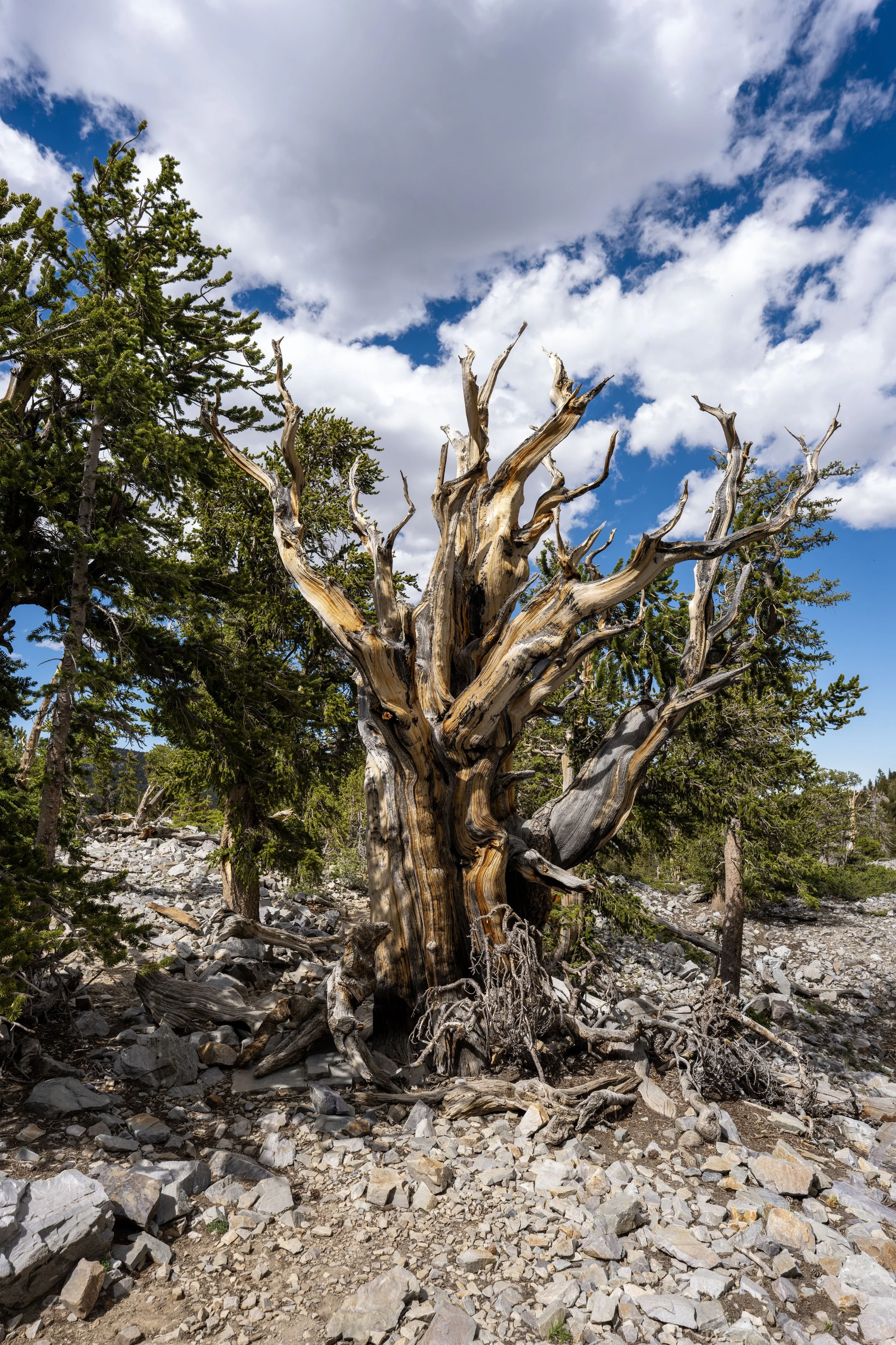
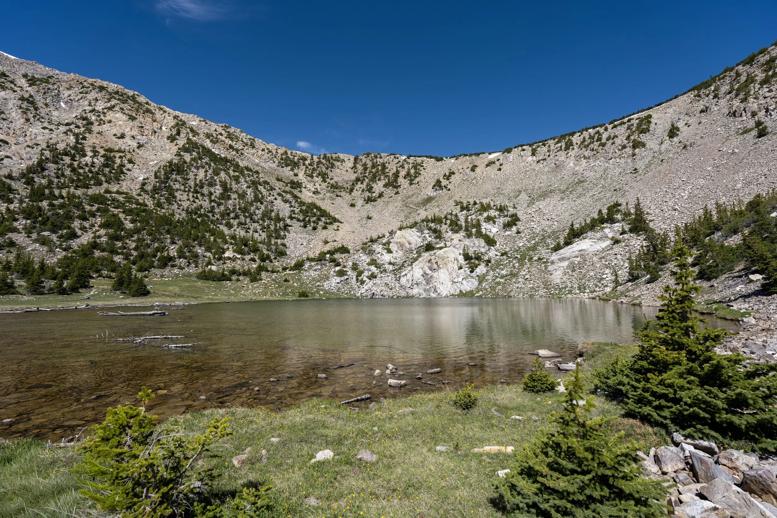
All of this is true of Great Basin National Park, which occupies most of the southern Snake Range and is home to several endemic species, some of which are not found outside the park’s boundaries!
However, Sky Islands are found across the United States, and another notable example is the group of independent, lesser-known mountain ranges across southern Idaho, where the endemic Cassia Crossbill is native to the South Hills and Albion Mountains.
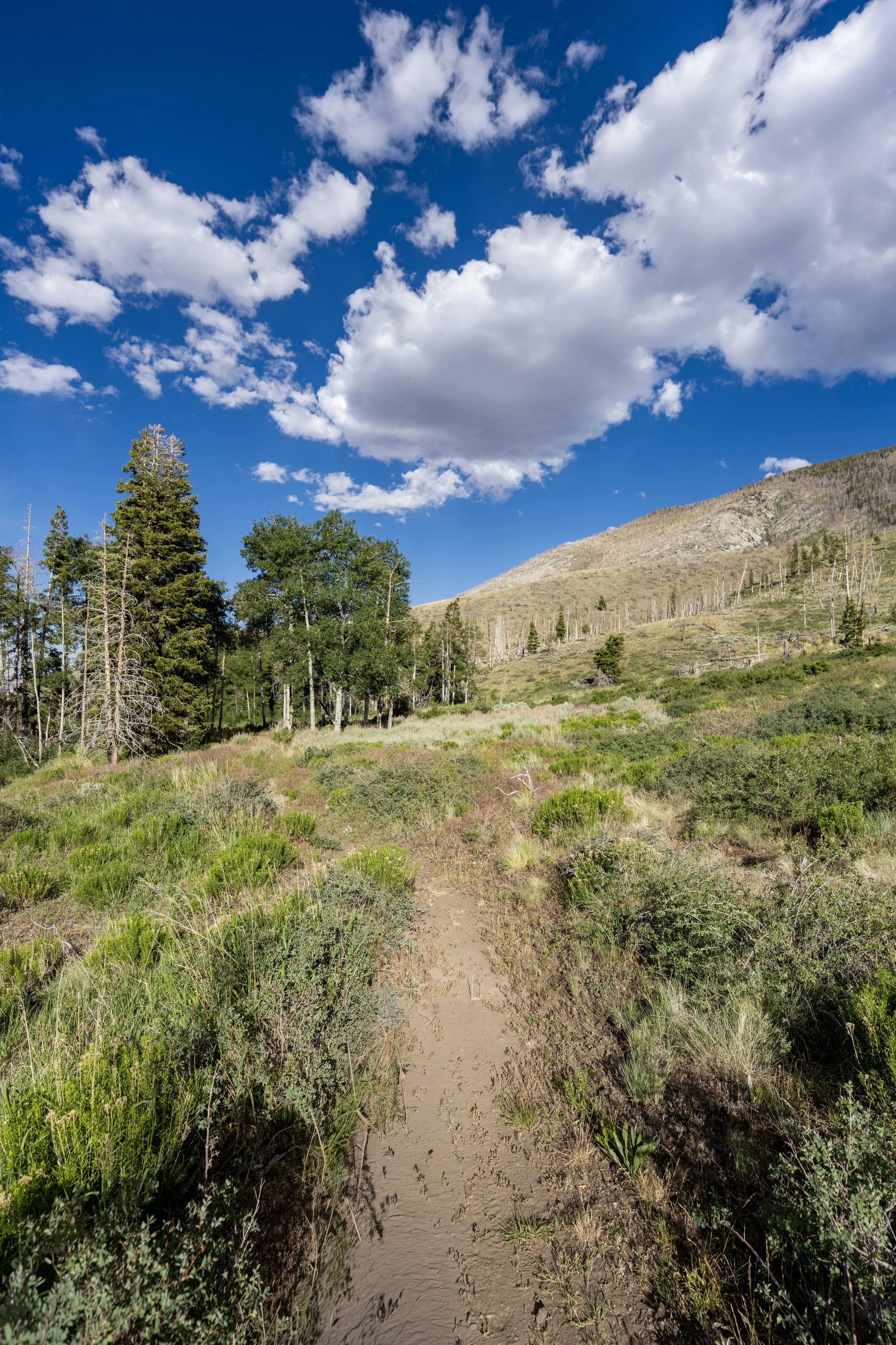
This split is nothing more than a short out-and-back side trail off the main loop.
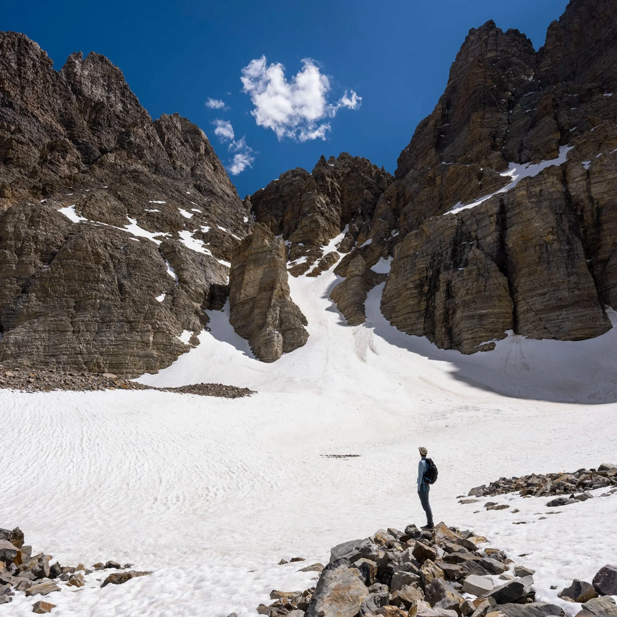
I think it’s important to mention that the entirety of the Sky Island Forest Trail is located just under 10,000 ft. (3,048 m), meaning that while it is considered an ADA-accessible trail, that may not be entirely true when Wheeler Peak Scenic Drive first opens for the season, as snow tends to linger well into May and sometimes June in shaded areas like this.
Sky Island Forest Loop Junction
This is where the Sky Island Forest Loop returns to the beginning.
Once here, go right, and again, I highly recommend considering one of the many other adventures off the beautiful Alpine Lakes Loop just around the corner—especially the Glacier Trail!