Hiking the Serviceberry Loop Trail in Great Basin National Park
Distance: 3.1 miles / 5.0 km
The Serviceberry Loop Trail in Great Basin National Park is a 3.1-mile (5.0 km) loop at the foothills of Eagle Peak, where hikers can enjoy views of Eagle Peak and the greater Snake Creek Basin!
That said, the Serviceberry Loop Trail is the only isolated day hike in the Snake Creek Basin, meaning it is the only trail not connected to the much larger trail network out of Snake Creek, Baker Creek, and even as far away as Wheeler Peak via the Highland Ridge Route.
As a result, the Serviceberry Loop is one of the least-trafficked day hikes in Great Basin National Park, but being quiet and untrafficked is something that could be said about all four of the most popular adventures that branch out from the Snake Creek Trailhead.
Serviceberry Loop Trailhead Parking
Parking for the Serviceberry Loop Trail is located in a small pull-off near the end Snake Creek Road, about 11.9 miles (19.2 km) from Highway 487 near the Nevada–Utah state line.
The Serviceberry Loop Trailhead is not the same parking area as the Snake Creek Trailhead, which serves a number of popular day hikes and overnight adventures, including the Johnson Lake Trail, the Snake Divide Trail, the Snake Creek Overlook Trail, the Dead Lake Trail, and more.
Google Maps Directions: Serviceberry Loop Trailhead
Hiking Checklist - Great Basin
Here is a complete list of must-have things that you will want for any hike in Great Basin National Park.
Hiking the Serviceberry Loop Trail
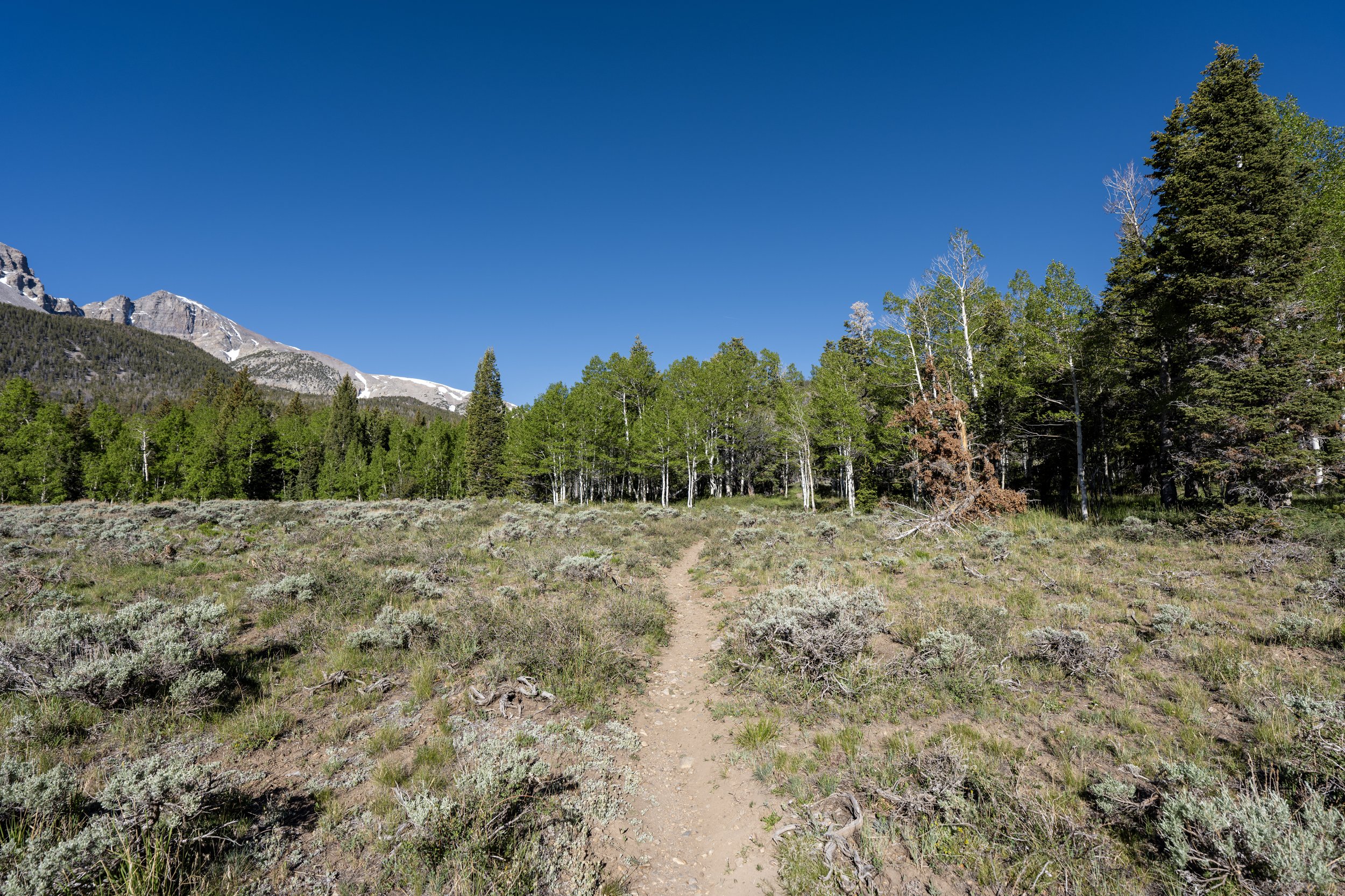
The Serviceberry Loop Trail begins directly off the side of Snake Creek Road, where both sides of the loop split and head in opposite directions immediately upon beginning the hike.
Deciding which direction to hike the Serviceberry Loop should come down to elevation gain. In other words, would you rather spread out the uphill over a longer distance by going right, or get it all out of the way in the beginning by going left?
In this article, I chose to go right in the counterclockwise direction around the loop.
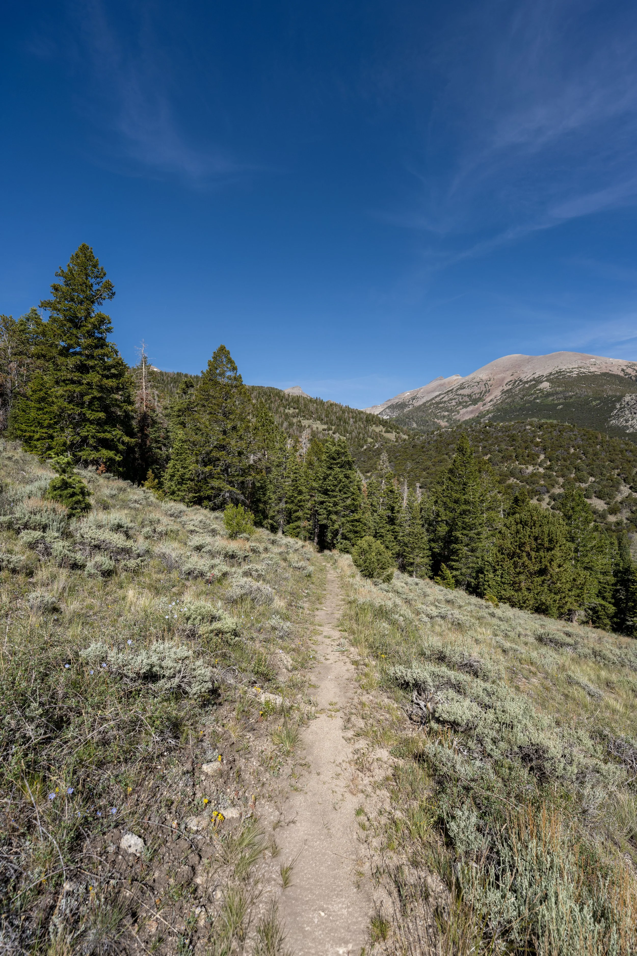
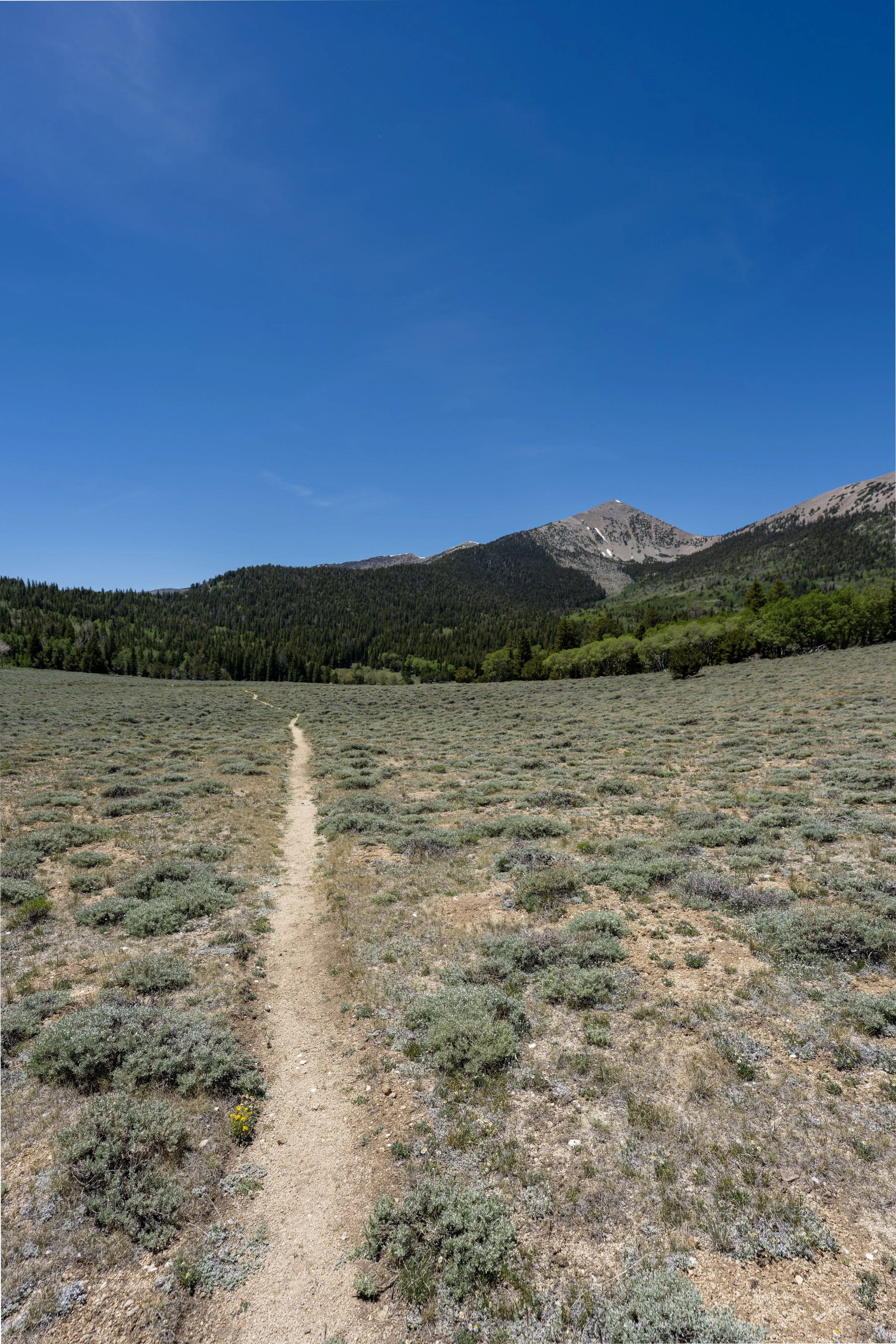
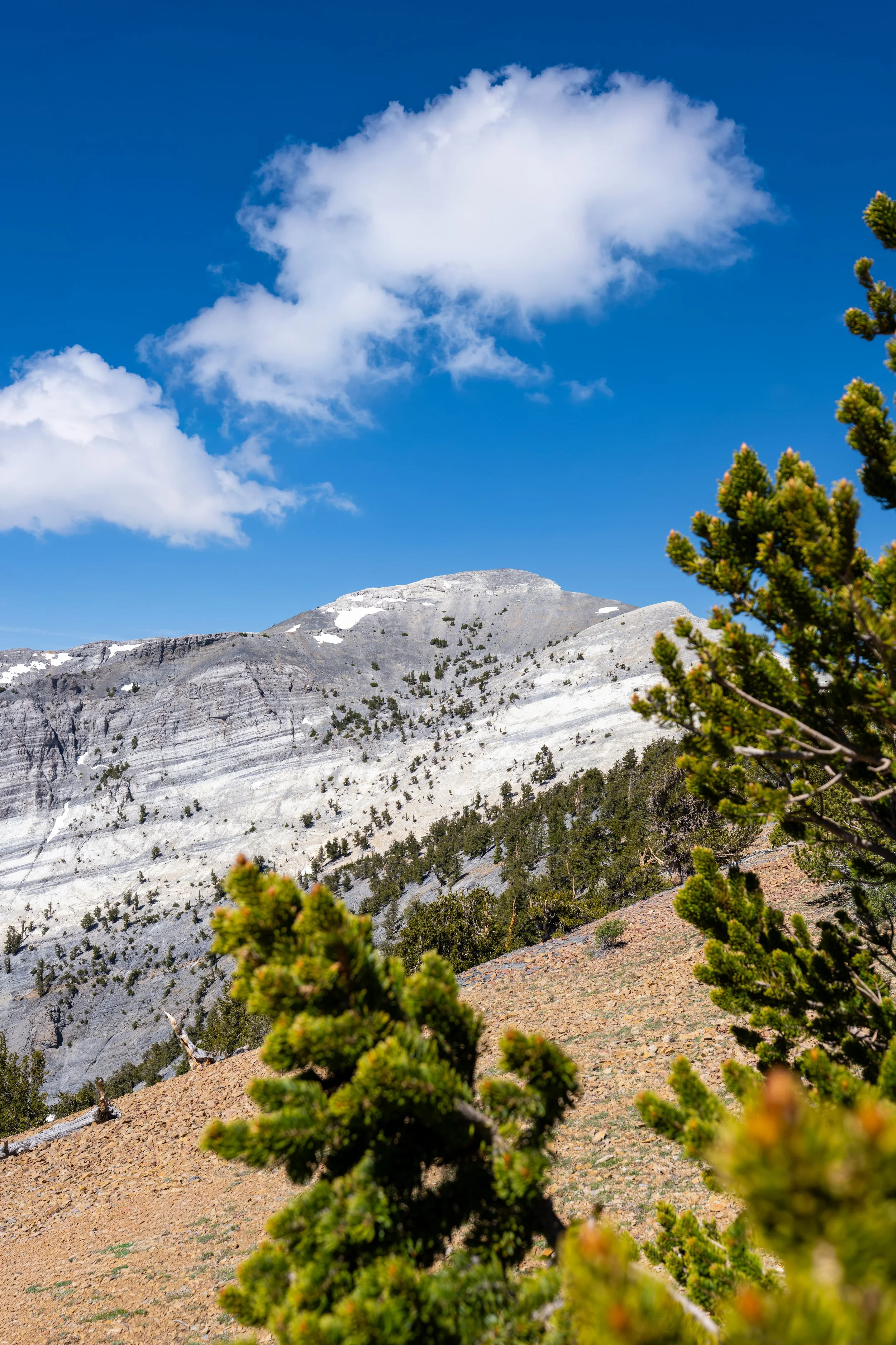
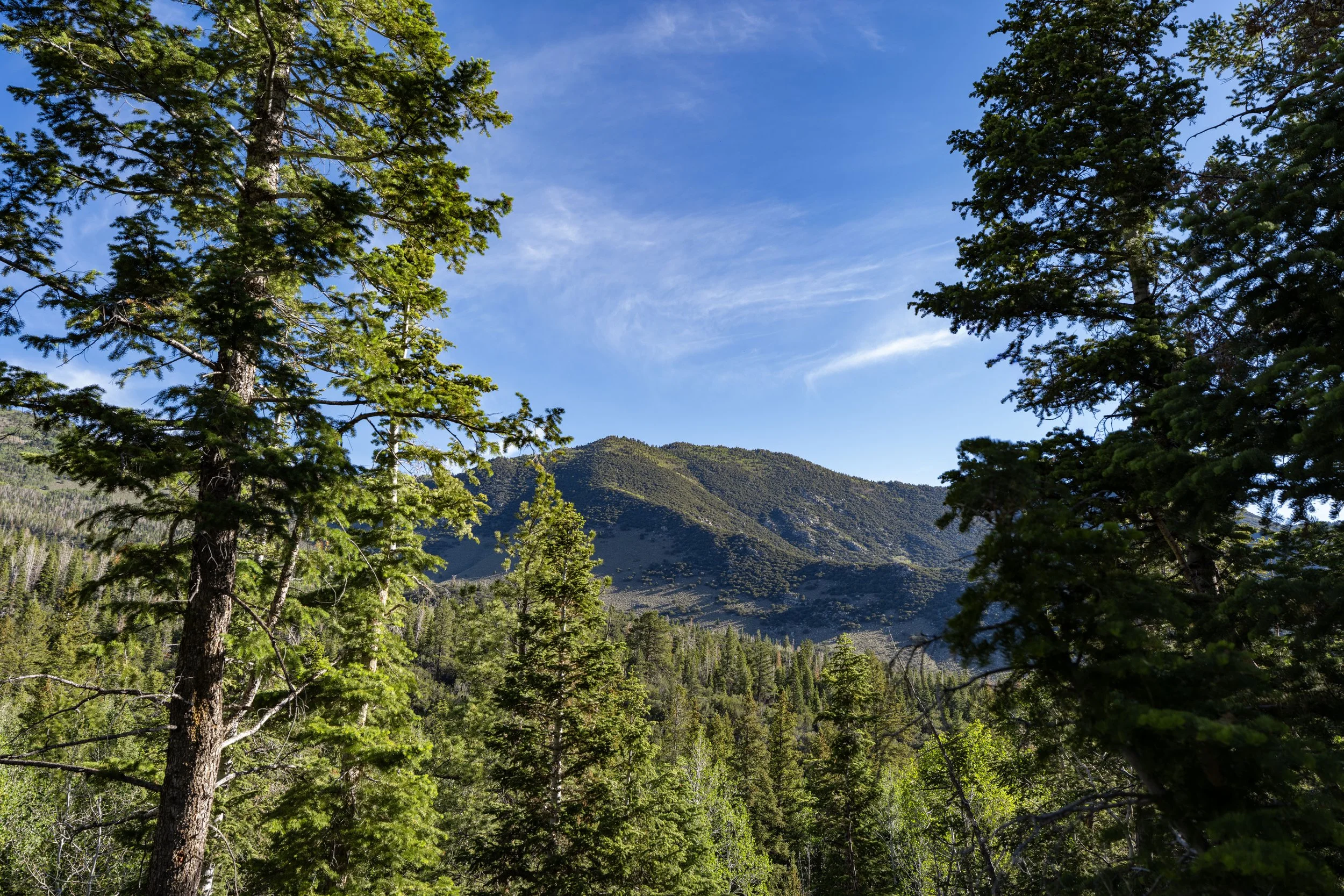
When hiking counterclockwise, the very beginning of the Serviceberry Loop has some of the best views of Eagle Peak on the entire hike!
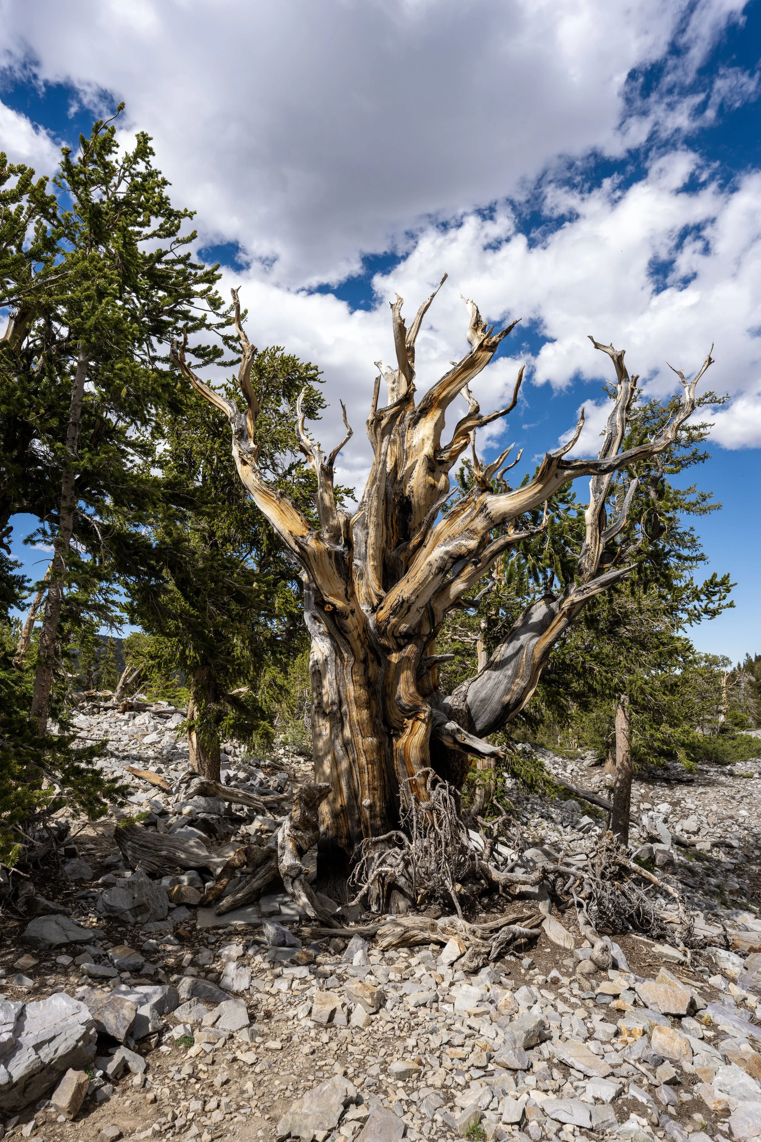
That said, what many first-time visitors don’t know is that Eagle Peak is home to one of only three Bristlecone Pine groves in Great Basin National Park, and the most difficult to reach by far!
This is because there are no trails to the summit of Eagle Peak, meaning those who wish to hike to the elusive Bristlecone grove near the summit must hike off-trail to get there, most commonly out of Snake Creek Basin or via Timber Creek off the Snake Creek Divide.
This is where the Serviceberry Loop Trail begins climbing much more steeply than in the beginning sections, about 0.2 miles (0.3 km) from the trailhead.
This is the first of 15 switchbacks on the hike to the top of the loop.
I think it’s worth highlighting that Mt. Washington is not visible on the Serviceberry Loop Trail or on any day hike out of the Snake Creek Basin.
I mention this because I always wondered which summit it was before hiking the Snake Divide Trail, only to learn that it’s much farther away than it seems when just looking at the peak on a map.
This is the beginning of the somewhat long traverse, or switchback, over to the second set of switchbacks that climb the steepest sections on the east side of the loop.
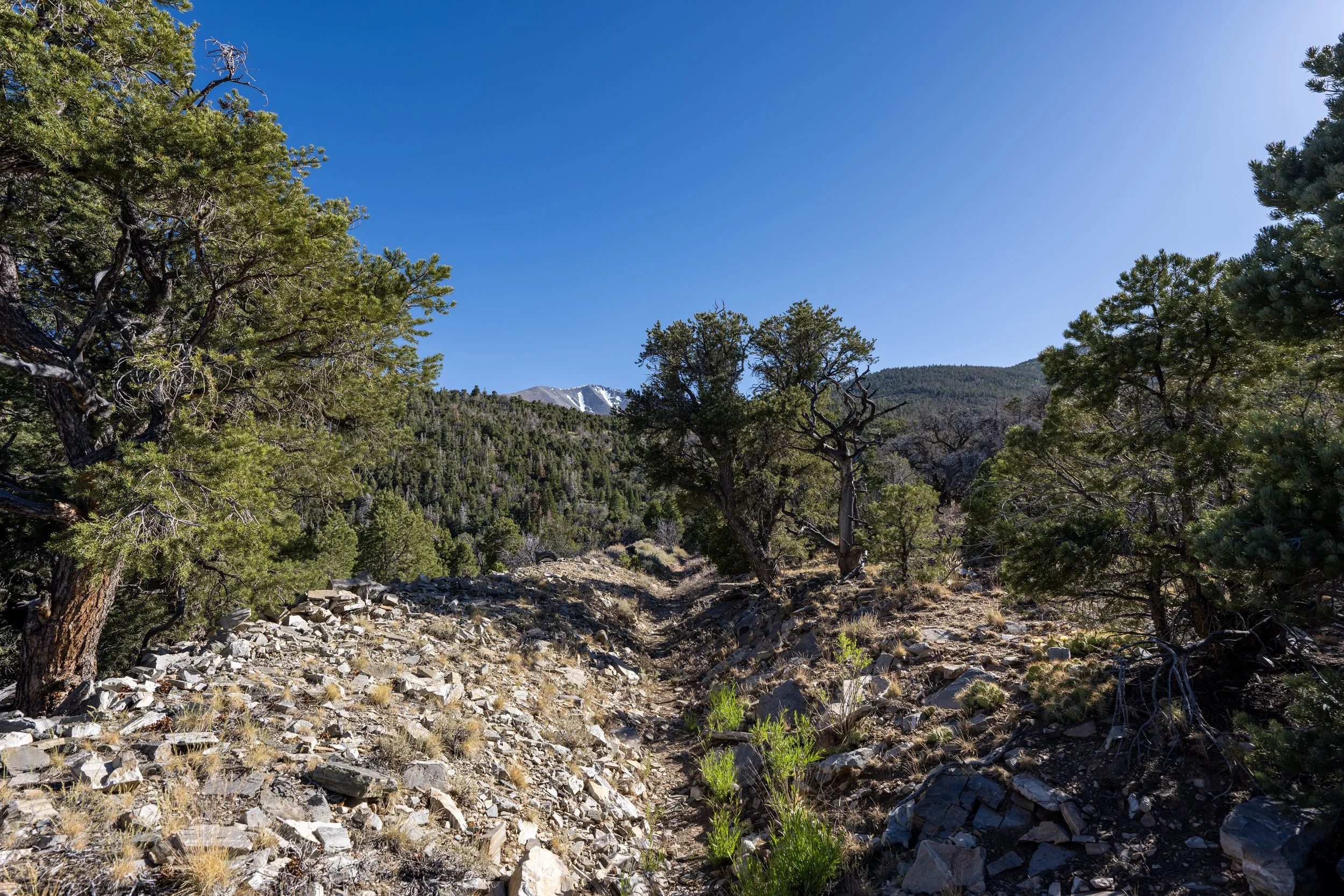
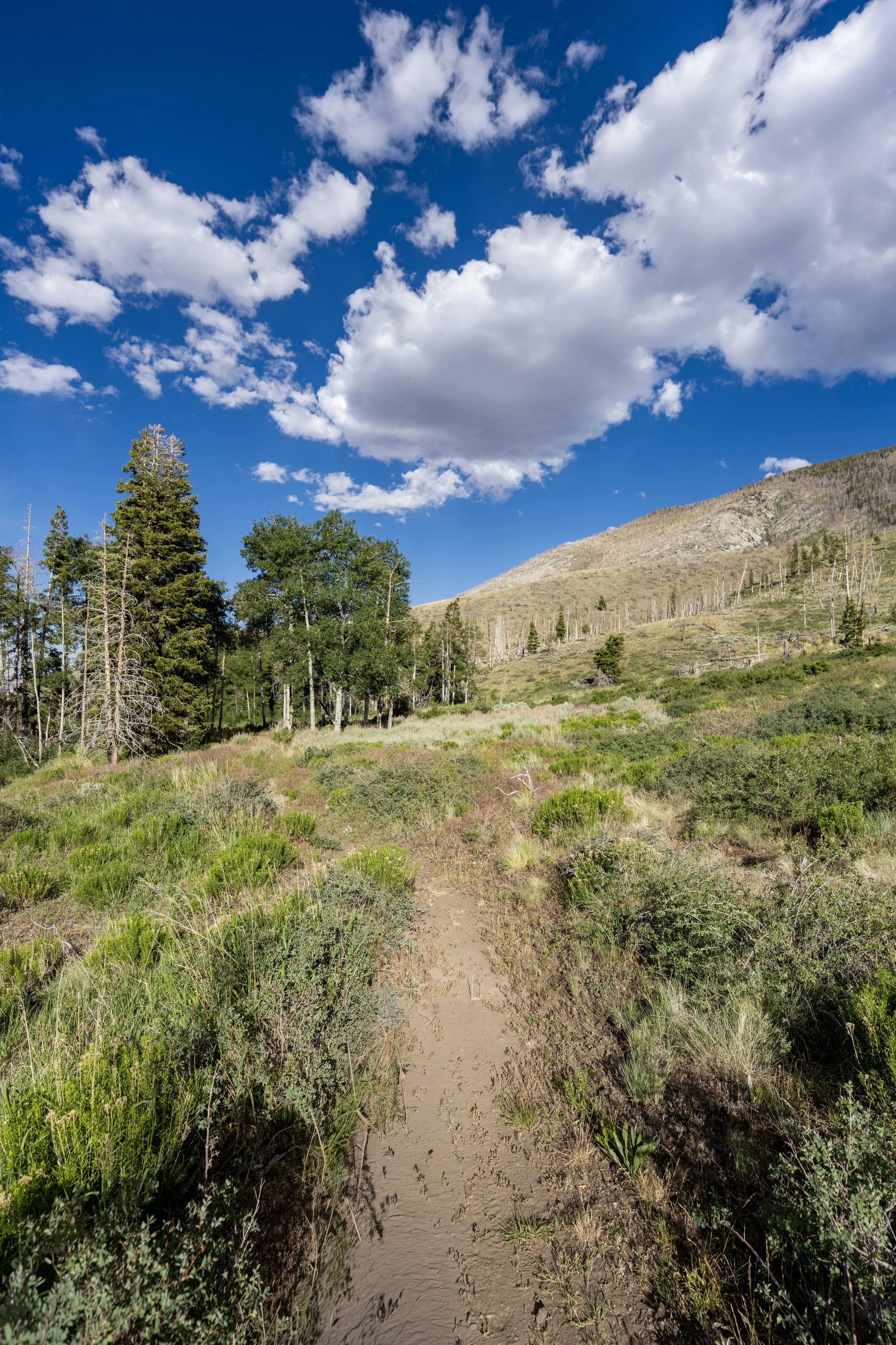
If all these photos show nothing else, I hope it’s that there is very little shade on the vast majority of the Serviceberry Loop.
This is why I highly recommend wearing a hooded sun shirt, something that I believe is necessary for just about every adventure in Great Basin National Park.
This is the beginning of the final 9 switchbacks up the steepest part of the loop when hiking counterclockwise.
From the trailhead to the uppermost part of the loop, the Serviceberry Trail gains roughly 720 ft. (219 m) in 1.8 miles (2.9 km) when hiking counterclockwise, or 1.3 miles (2.1 km) when hiking in the other direction.
That said, some hikers may want to bring trekking poles, which can certainly be very useful for this and all the different adventures that branch out from the Snake Creek Trailhead at the end of the road.
What is a Serviceberry?
A Serviceberry is a native shrub or small tree in Great Basin National Park, officially known as the Utah Serviceberry (Amelanchier utahensis).
It grows in the park’s mountain-shrub and woodland areas and is one of many plants found along the Serviceberry Loop Trail.
This is where the Serviceberry Loop Trail turns the 15th and final switchback!
After the final switchback, the trail levels out significantly compared to the sections prior.
However, the trail still continues to climb, though much more gradually, for about another 0.6 miles (1.0 km) from this point to the top of the loop.
I’ve tried to consider what route I would take to the summit of Eagle Peak, and, from what I have read, most who set off for the summit begin at the base of the mountain directly off Snake Creek Road, near the Eagle Peak Campsites.
This route is very direct and involves about 3,150 ft. (960 m) of climbing, but it does appear to be the most efficient way to the elusive Bristlecones near the summit!
This is the part where the Serviceberry Trail begins heading directly north toward the northernmost part of the loop before turning sharply back to the beginning.
This is the northernmost point on the Serviceberry Trail, where the loop sharply turns back toward Snake Creek Road.
When the Serviceberry Loop turns back to the south, the trail continues to climb gradually, but this quickly comes to an end after about 0.1 miles (0.2 km) from the sharp turn.
This is the very top of the Serviceberry Loop, meaning there is only about 1.3 miles (2.1 km) left before the trail returns to Snake Creek Road.
When the Mahogany trees open up on the west side of the loop, the Snake Creek Trailhead, where all the most popular hikes begin in the basin, can be seen in the distance.
This is where the Serviceberry Trail turns the first of three switchbacks on the west side of the loop.
Once again, none of the peaks seen in the distance are Mt. Washington.
This is the third and final switchback on the west side of the loop.
After the final switchback, the Serviceberry Loop Trail simply descends gradually back to the trailhead, passing both the Snake Creek Trailhead and the Johnson Lake Trail, where other hikers can often be seen, before the loop re-enters the trees.
This is the point where the Serviceberry Loop Trail passes directly by the Snake Creek Trailhead.
This is where the Serviceberry Loop Trail starts paralleling Snake Creek Road, meaning there is only about 0.25 miles (0.4 km) left until the trailhead.
Serviceberry Loop Junction & Trailhead
After roughly 3.1 miles (5.0 km), the Serviceberry Loop Trail returns to the beginning of the loop and the trailhead off Snake Creek Road.
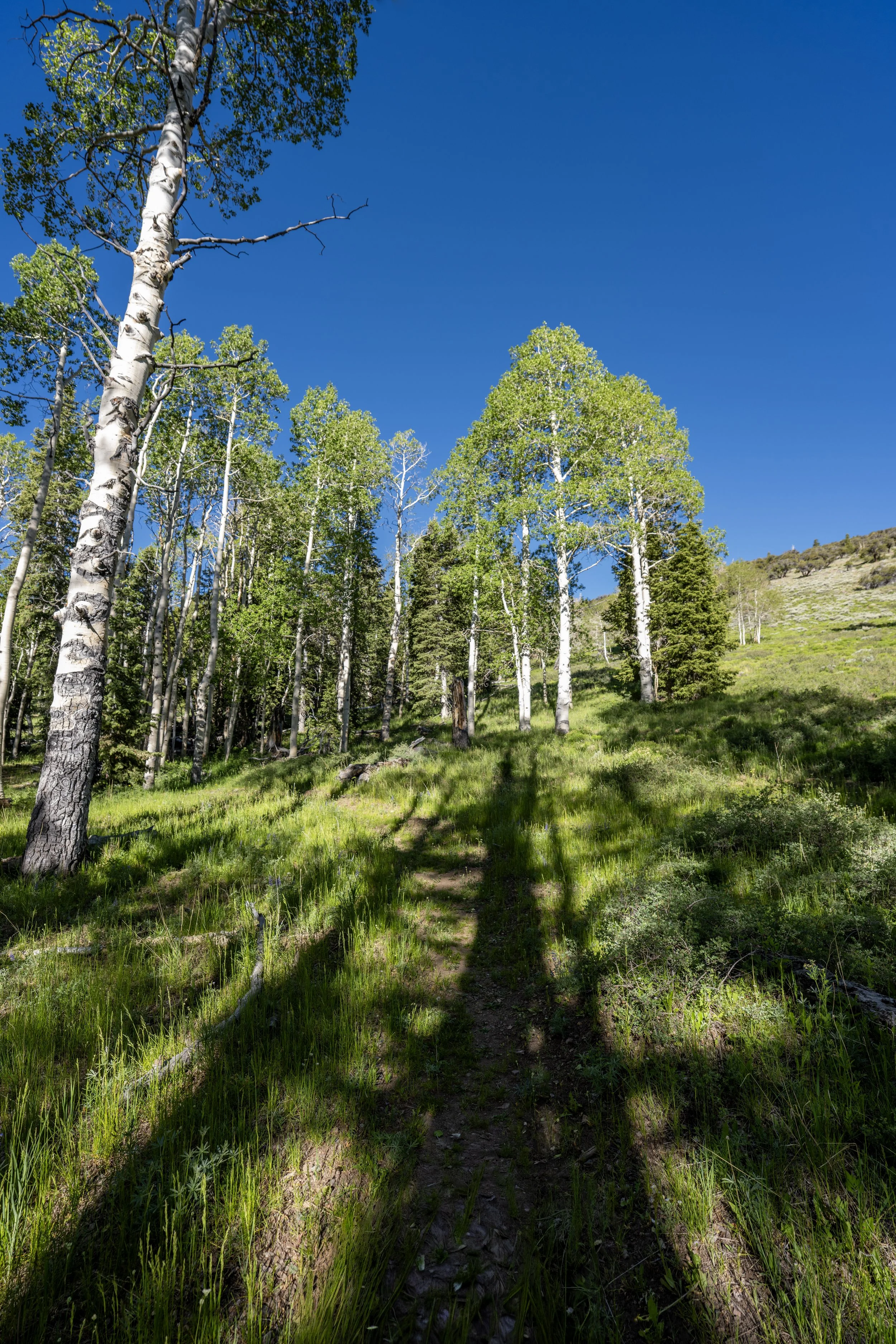
Overall, I think the Serviceberry Loop Trail can be a great option for enjoying the colors come fall in Great Basin National Park, but if it’s your first visit to the Snake Range, I honestly believe there are other options worth prioritizing if time is a factor.