Hiking the Johnson Lake Trail in Great Basin National Park
Distance: 7.8 miles / 12.6 km
Elevation Gain: 2,610 ft. / 796 m
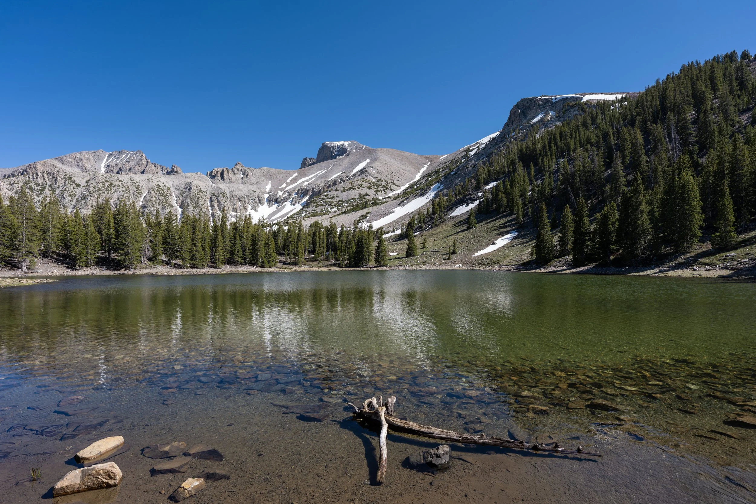
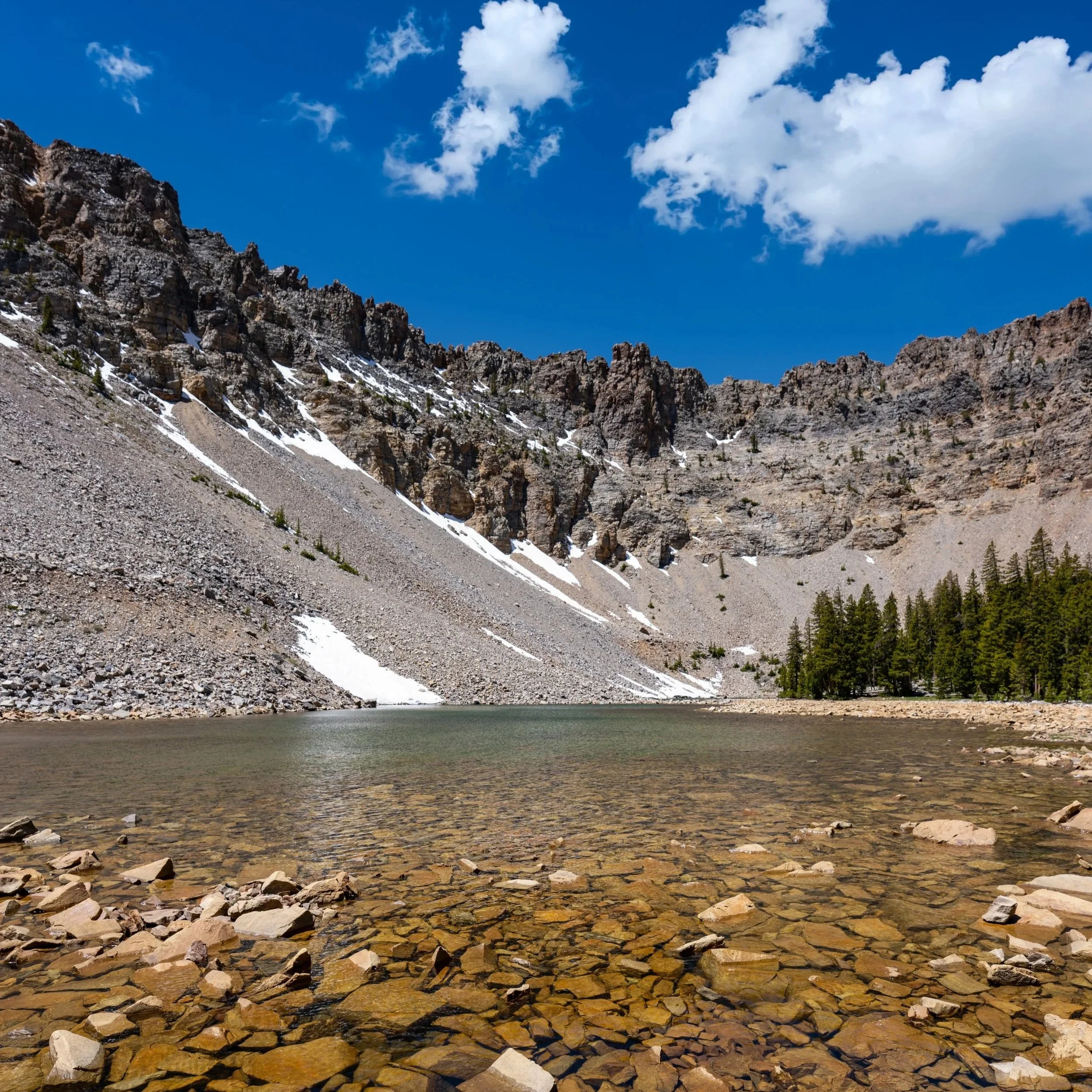
The Johnson Lake Trail in Great Basin National Park is a fun out-and-back day hike—or even a loop trail when combined with Dead Lake—that leads to a beautiful 2.5-acre (10,117-square-meter) alpine lake beneath Pyramid Peak!
That said, the Johnson Lake Trail is often combined with the Baker Lake Trail on the north side of Pyramid Peak to create a longer loop, which is often treated as a one-night or multi-day backpacking trip in Great Basin’s backcountry.
However, this article is solely about the Johnson Lake Trail via Snake Creek, which is the most popular of the way to reach the lake, though the adjacent Dead Lake Trail follows closely behind.
Johnson Lake Trailhead Parking
Parking for the Johnson Lake Trail is located at the Snake Creek Trailhead—the trailhead at the very end of Snake Creek Road—about 12.2 miles (19.6 km) from Highway 487 near the Nevada–Utah state line.
The Snake Creek Trailhead is the joint trailhead that serves several different day hikes and overnight adventures, including the Dead Lake Trail, the Snake Creek Overlook Trail, the Snake Divide Trail, and more.
Google Maps Directions: Johnson Lake Trailhead
Hiking Checklist - Great Basin
Here is a complete list of must-have things that you will want for any hike in Great Basin National Park.
Hiking the Johnson Lake Trail
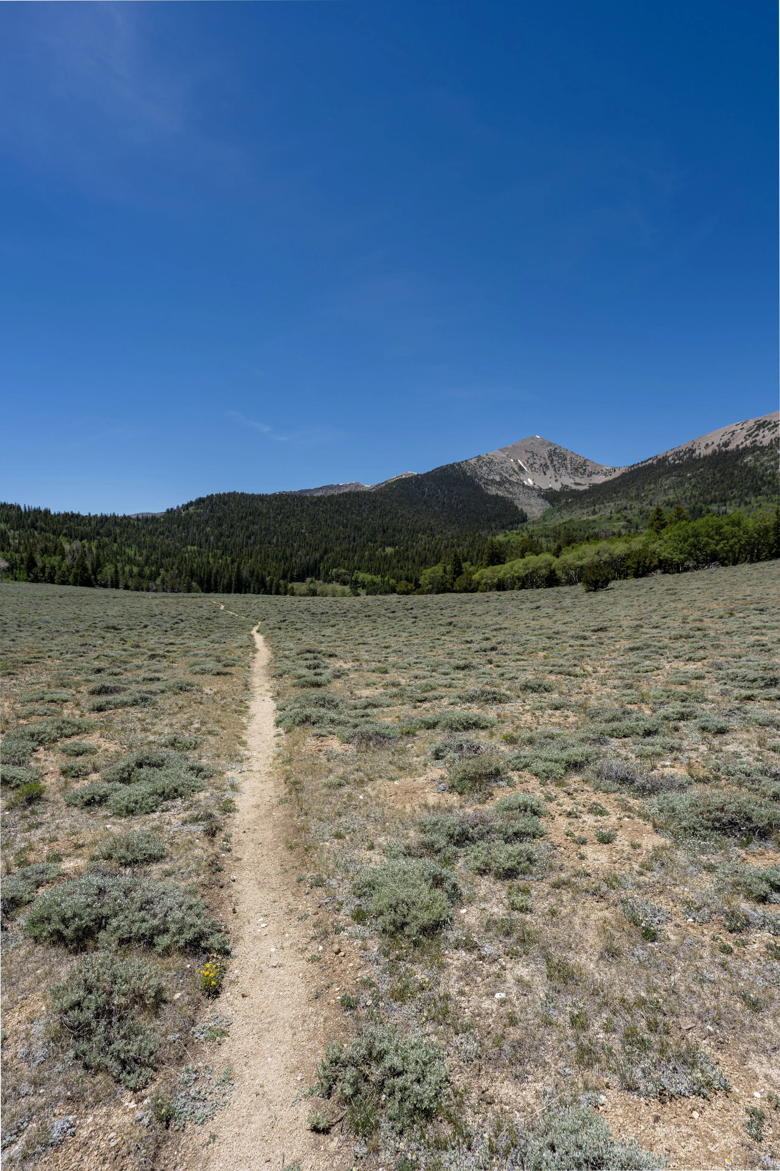
The Johnson Lake Trail begins on the north side of the Snake Creek Trailhead, where the trail starts out by heading directly toward one of the Snake Creek primitive campsites.
To skip ahead to the Johnson Lake–Dead Lake Junction, click here.
Shoshone 1
This is where the Johnson Lake Trail passes the one and only primitive campsite on the hike up to Johnson Lake.
That said, go left at this split to continue up the Johnson Lake Trail.
After the Johnson Lake Trail passes the primitive campsite, there are no more junctions until it reaches the Timber Creek Trail, roughly 2.5 miles (4.0 km) from this point.
This is the one and only time the Johnson Lake Trail crosses the North Fork of Johnson Creek on the hike up to the lake.
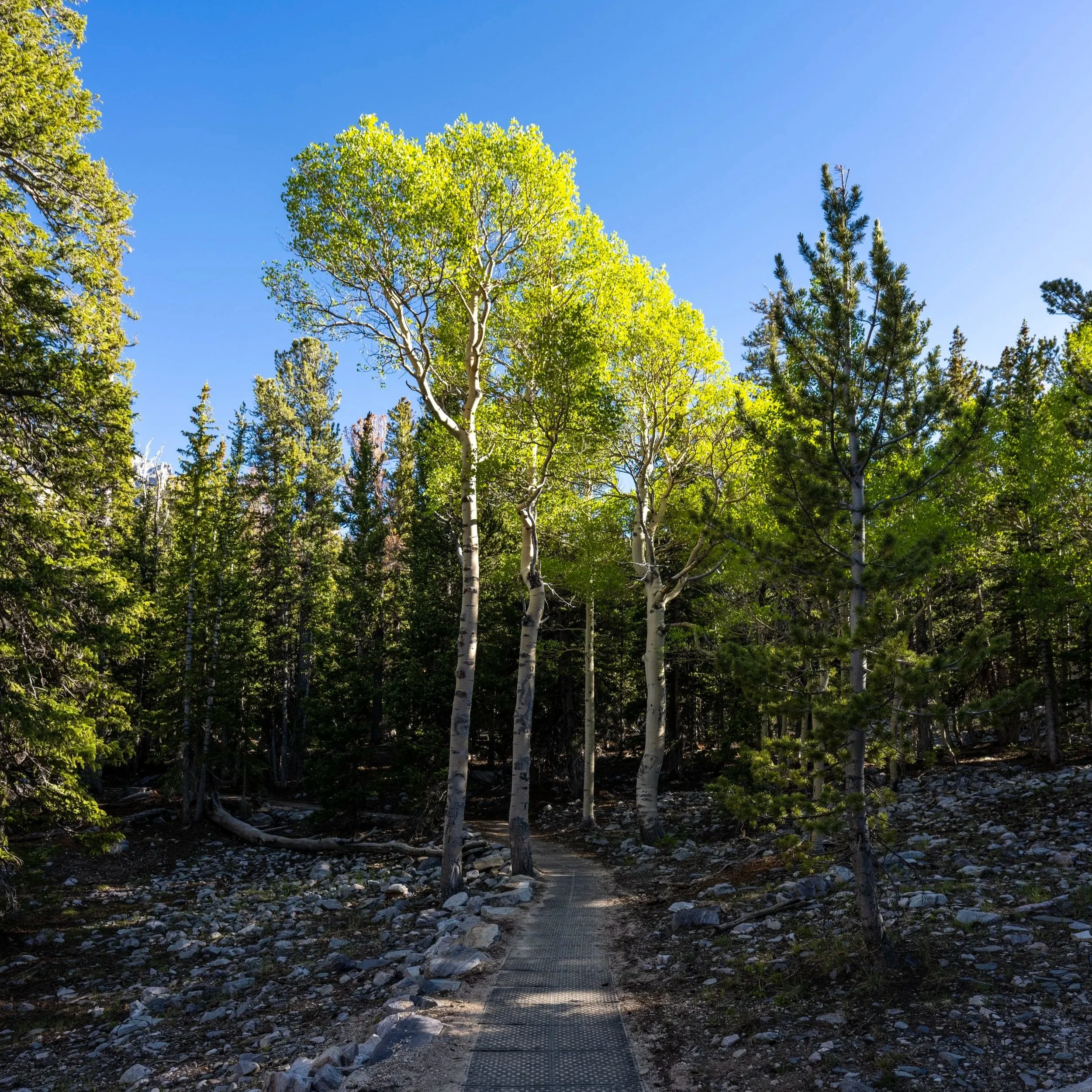
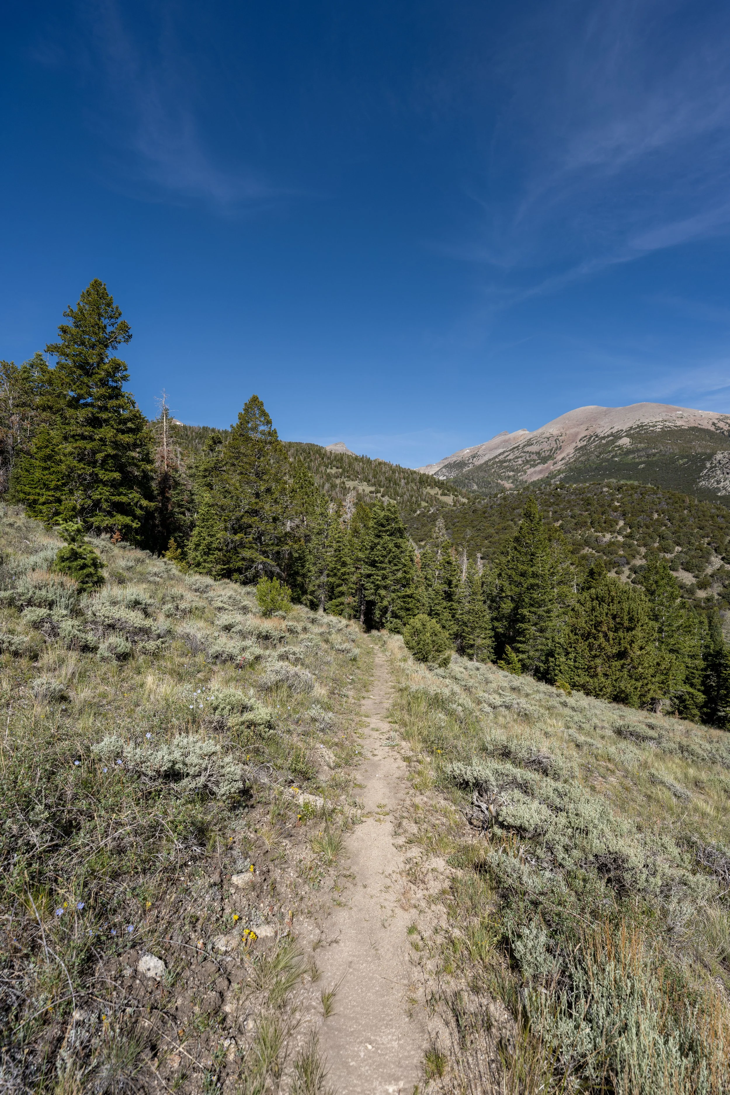
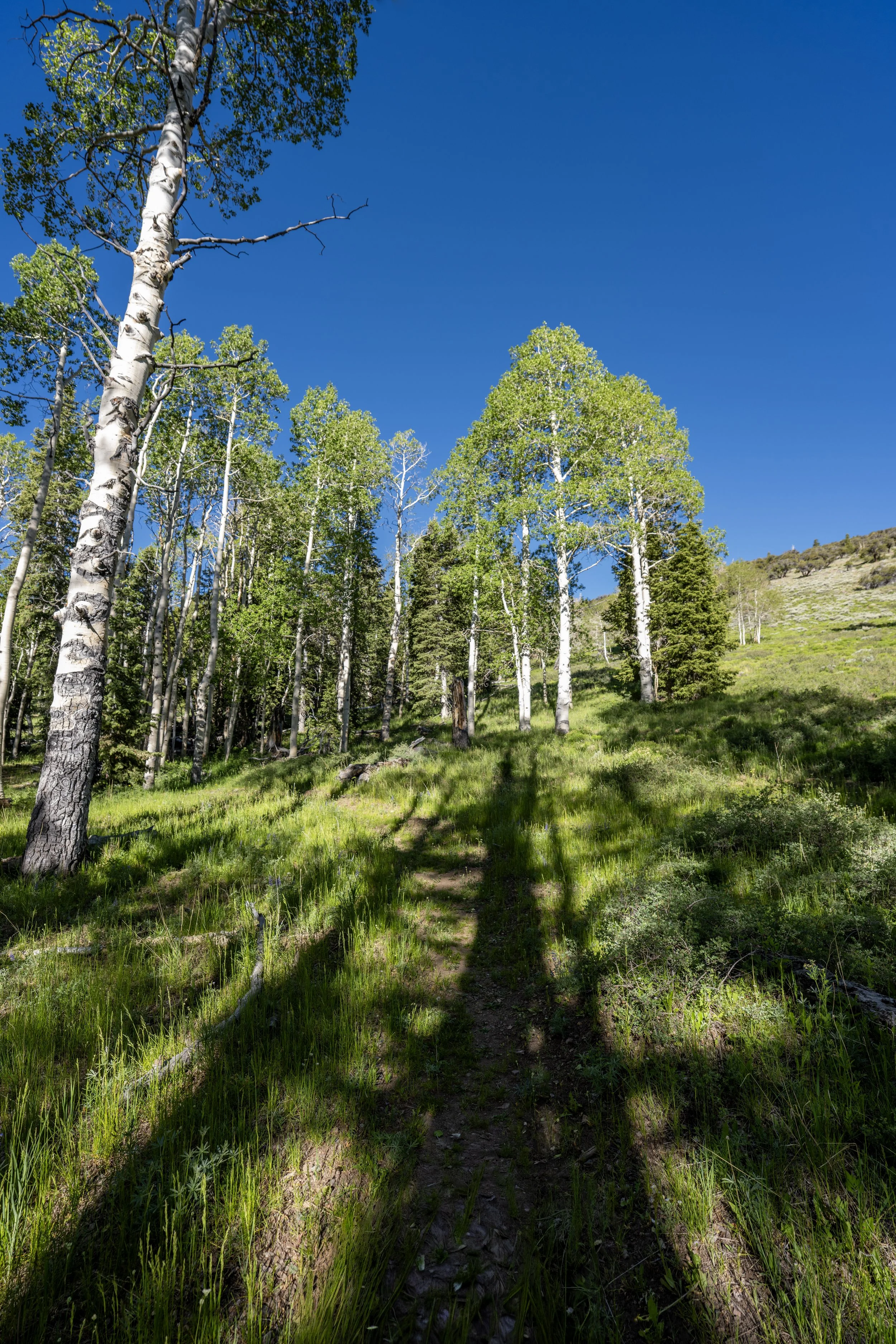
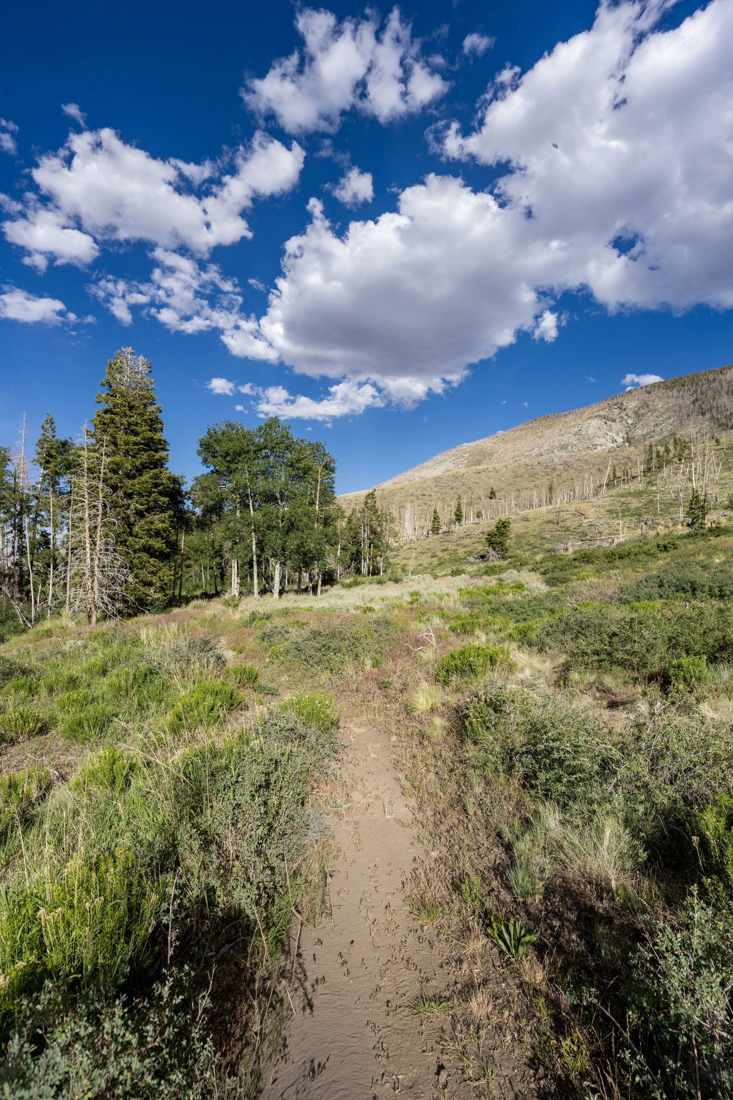
For the most part, there is not much to know about the hike up to Johnson Lake, as the trail simply winds its way up the steep slopes above Snake Creek through a mixed Douglas Fir–Engelmann Spruce–Aspen forest.
However, I think it’s worth highlighting that Aspens are the reason fall colors in Great Basin National Park are so beautiful!
Even though the Johnson Lake Trail spends a lot of time passing through the trees, I highly recommend wearing a hooded sun shirt, as the full 7.8-mile (12.6 km) roundtrip hike is generally a long day outside!
This is where the Johnson Lake Trail turns two back-to-back switchbacks directly below Snake Creek Divide, before reaching the Timber Creek Trail after the second switchback.
Johnson Lake-Timber Creek Junction
After 2.3 miles (3.7 km), the Johnson Lake Trail passes the junction for the Timber Creek Trail, which is not yet the Timber Creek Loop Trail, as the Timber Creek Loop begins roughly 1.2 miles (1.9 km) from this point on the far side of the Snake Creek Divide.
However, to continue hiking up to Johnson Lake, go straight at this split, and the trail will pass the junction for Dead Lake shortly ahead.
Read My Separate Post: Timber Creek Loop Trail
This section between the Timber Creek Trail and the Dead Lake Trail is roughly 0.3 miles (0.5 km) long.
Johnson Lake-Dead Lake Junction
This is the Dead Lake Trail junction, located about 2.6 miles (4.2 km) from the Snake Creek Trailhead via either the Johnson Lake Trail or the Dead Lake Trail.
Yes, both trails are exactly 2.6 miles (4.2 km) to reach this same point, which is why there is certainly a good debate over which route is better, considering that the distances and elevation gain are identical.
In any case, go straight once again to continue hiking up to Johnson Lake.
Read My Separate Post: Dead Lake Trail
After the Dead Lake junction, the Johnson Lake Trail continues to climb steadily, but this will abruptly change after the trail passes the historic mill shortly ahead.
This is where the Johnson Lake Trail crosses above 10,000 ft. (3,048 m).
Johnson Mill Historic Site
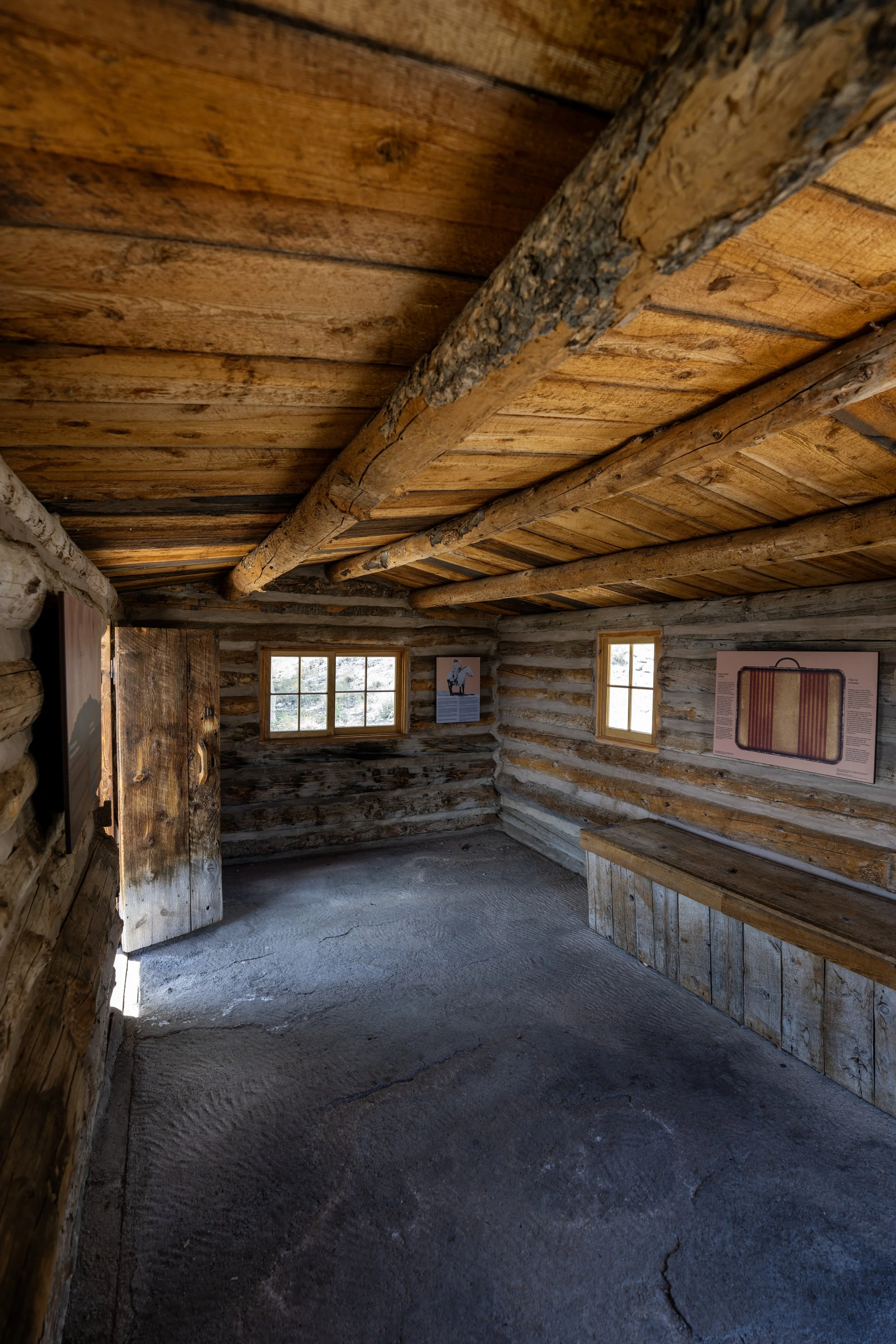
At almost exactly 3.0 miles (4.8 km) from the Snake Creek Trailhead, the Johnson Lake Trail passes the Johnson Mill Historic Site, an early-1900s mill that once crushed and processed tungsten ore from a nearby mine around the time of World War I.
The historic district is listed in the National Register of Historic Places.
Soon after the trail leaves the first set of historic structures on the hike up to Johnson Lake, the trail begins the first of a few very steep hills.
That said, the hills are very short, but it’s worth noting that they are steeper than anything encountered on any of the day hikes that begin at the Baker Creek Trailhead on the other side of the mountain.
Some hikers may want to bring trekking poles for the steep sections on the Johnson Lake Trail, which can certainly be useful for countless similar adventures across Great Basin National Park.
When the Johnson Lake Trail passes the second set of historic structures, it’s a nice sign that the steepest parts of the hike are over and Johnson Lake is not far ahead!
Johnson Lake
This is Johnson Lake, and it along with Baker Lake on the other side of Pyramid Peak, are the only alpine lakes with a native fish population in Great Basin National Park!
That said, the native Bonneville Cutthroat Trout are strictly managed under catch-and-release regulations in Great Basin, but it is still cool that fishing is even allowed in such a fragile, isolated environment as the Snake Range!
Johnson Lake-Baker Lake Junction
Past Johnson Lake, the trail continues up and over the Snake Creek Divide, at which point it descends to Baker Lake on the other side.
This section between the two lakes is roughly 1.5 miles (2.4 km) long and is very commonly hiked by overnight backpackers.
Read My Separate Post: Baker Lake Trail