Hiking the Upper Strawberry Trail in Great Basin National Park
Distance (RT on Either Side of Sage Steppe Loop): 4.2 miles / 6.8 km
Elevation Gain: 1,280 ft. / 390 m
The Upper Strawberry Trail, more commonly called the Upper Strawberry Creek Trail, in Great Basin National Park is an easy out-and-back day hike in the northern foothills of the Snake Range that begins in the burn scar from the 2016 Strawberry Creek Fire before climbing into a beautiful forest spared from the fire’s impacts, where it ultimately ends at the saddle between Windy Peak and Bald Mountain!
The Upper Strawberry Creek Trail is also one of the least-trafficked day hikes in Great Basin National Park, as the junction off the highway is often overlooked when driving toward Baker from Ely or forgotten entirely when arriving from the other direction, given how popular everything is off Wheeler Peak Scenic Drive.
That said, the Upper Strawberry Trail can be a great option for those looking for an easy morning hike away from the busier areas within Great Basin, and it is also a great option for trail runners, since the elevation gain is much milder compared with countless other adventures across the Snake Range.
Upper Strawberry Trailhead Parking
Parking for the Upper Strawberry Trail is located at the Strawberry Creek Trailhead, the joint trailhead that also serves the Sage Steppe Loop Trail and the Osceola Ditch Trail, about 5.5 miles (8.9 km) from Highway 50.
The Strawberry Creek Trailhead has one of the smaller parking areas compared with other trailheads away from Wheeler Peak Scenic Drive. However, since it is not a very popular place to visit in Great Basin, finding a place to park is typically never an issue.
Google Maps Directions: Upper Strawberry Trailhead
Hiking Checklist - Great Basin
Here is a complete list of must-have things that you will want for any hike in Great Basin National Park.
Hiking the Upper Strawberry Trail
The Strawberry Creek Trailhead has two different trailheads that begin from the same parking area.
On the left is the route for the Sage Steppe Loop Trail in the clockwise direction, which is also thought of as the start of the Osceola Ditch Trail when beginning from Strawberry Creek.
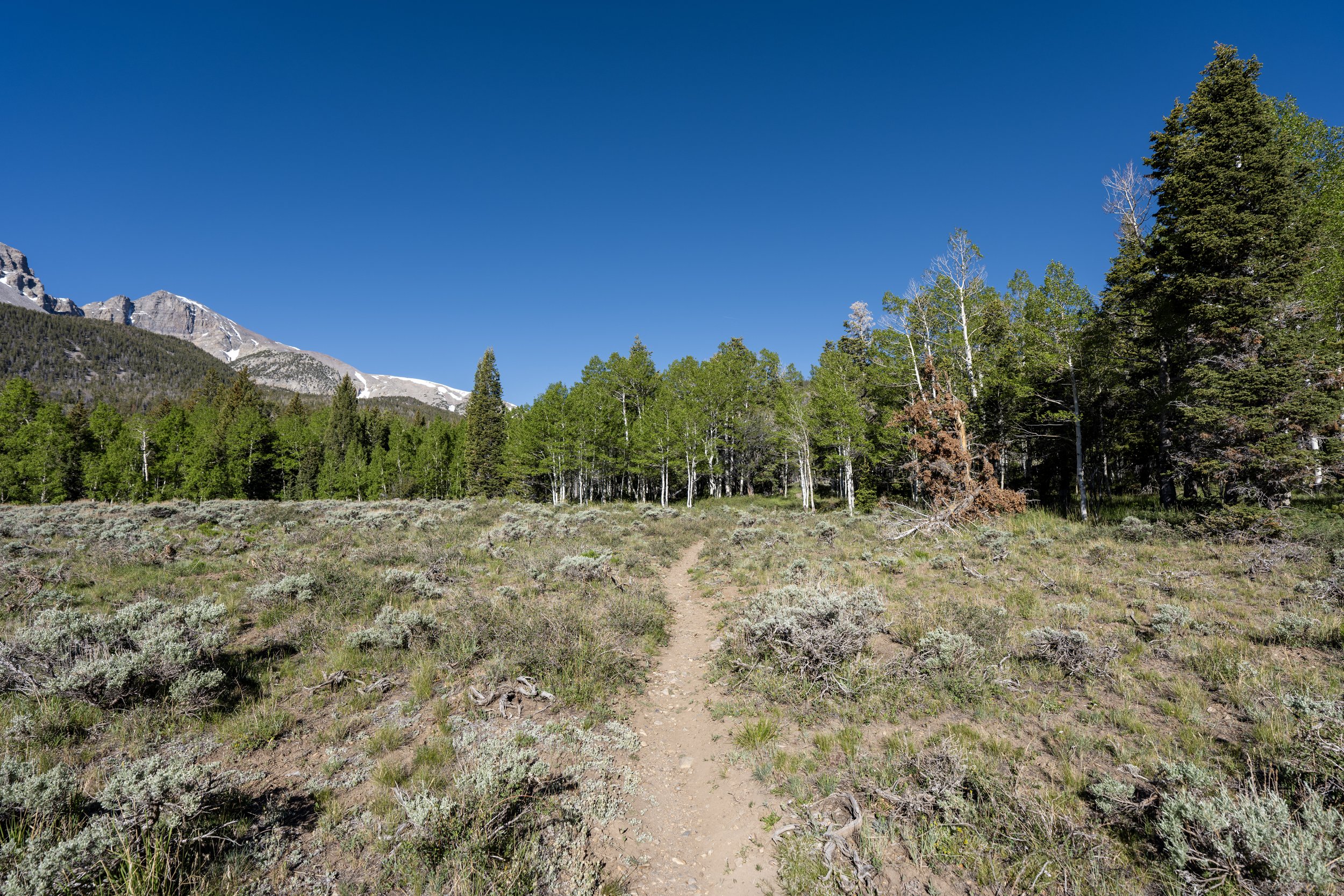
On the right, however, the Sage Steppe Loop begins in the counterclockwise direction, which is often thought of as the beginning of the Upper Strawberry Creek Trail.
I write it this way because it truly doesn’t matter which route you choose to begin, as both sides are exactly 0.6 miles (1.0 km) to the upper end of the loop.
In this article, I chose to begin on the right (northern) side of the Sage Steppe Loop Trail.
This is where the Upper Strawberry Trail crosses above 8,000 ft. (2,438 m).
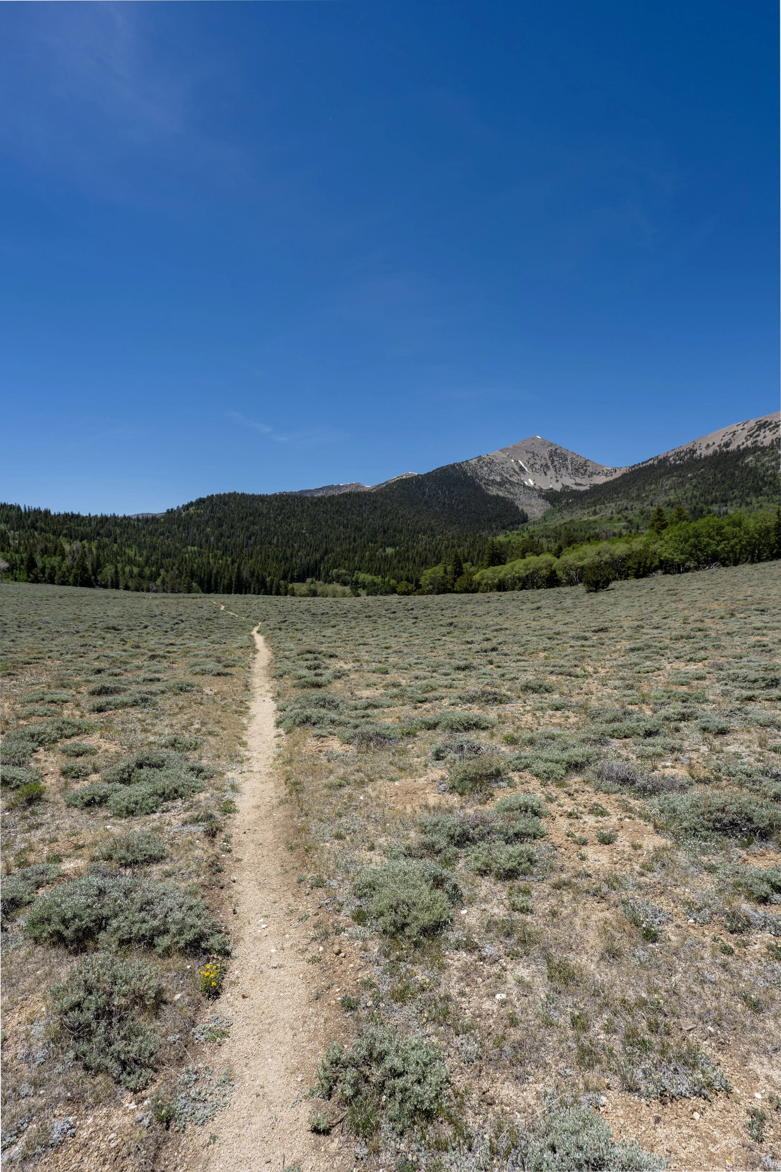
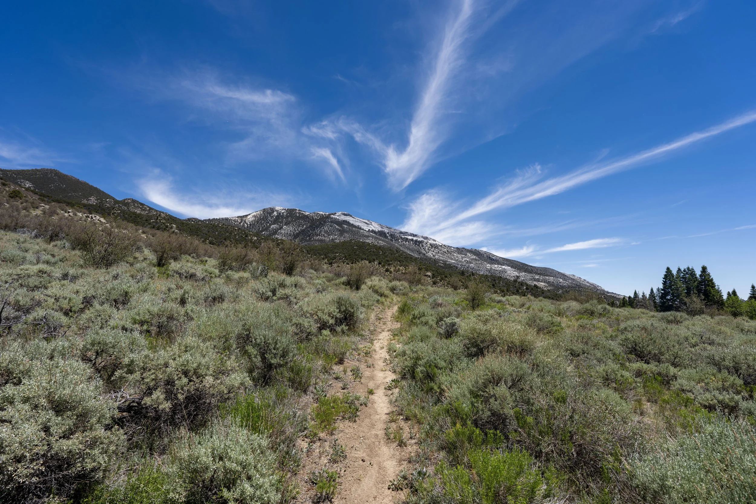
Since there is next to no shade on either side of the Sage Steppe Loop, which totals 1.2 miles (1.9 km) when considering the return hike, I highly recommend wearing a hooded sun shirt to stay safe!
Just before the Upper Strawberry Trail crosses back over Strawberry Creek and meets the junction on the south side of the Sage Steppe Loop, the trail passes a little-known junction on the right-hand side for the North Osceola Ditch Trail.
However, since the late 2000s, the North Osceola Ditch Trail that once led to the park boundary seems to have been lost to time and the wildfire and is no longer included in the park’s trail inventory.
Upper Strawberry-Sage Steppe Loop Junction
Immediately after crossing back over to the south side of Strawberry Creek, the Sage Steppe Loop reaches the beginning of the southern half that leads back to the Strawberry Creek Trailhead. Personally, I recommend taking this side on the way back, as it’s an easy way to turn two hikes into one!
All that aside, go right at this split to leave the loop and begin hiking the official Upper Strawberry Trail toward the park boundary.
Read My Separate Post: Sage Steppe Loop Trail
Upper Strawberry-Osceola Ditch Junction
Just a few steps after leaving the Sage Steppe Loop, the Upper Strawberry Creek Trail passes the old connection with the Osceola Ditch Trail.
This is the portion of the trail that is closed, beginning here and ending at the burn scar.
In any case, go straight to remain on the Upper Strawberry Trail toward the park boundary.
Read My Separate Post: Osceola Ditch Trail
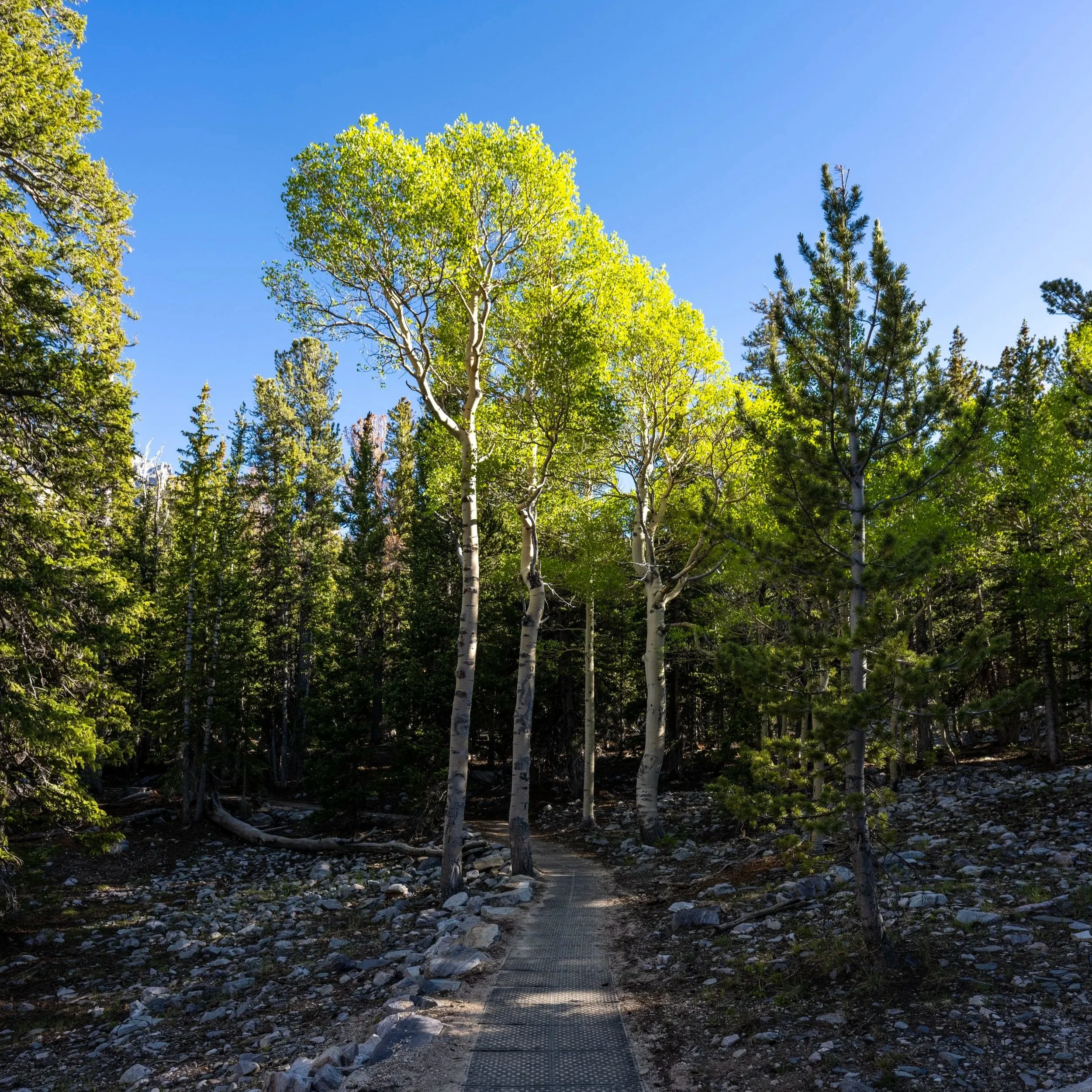
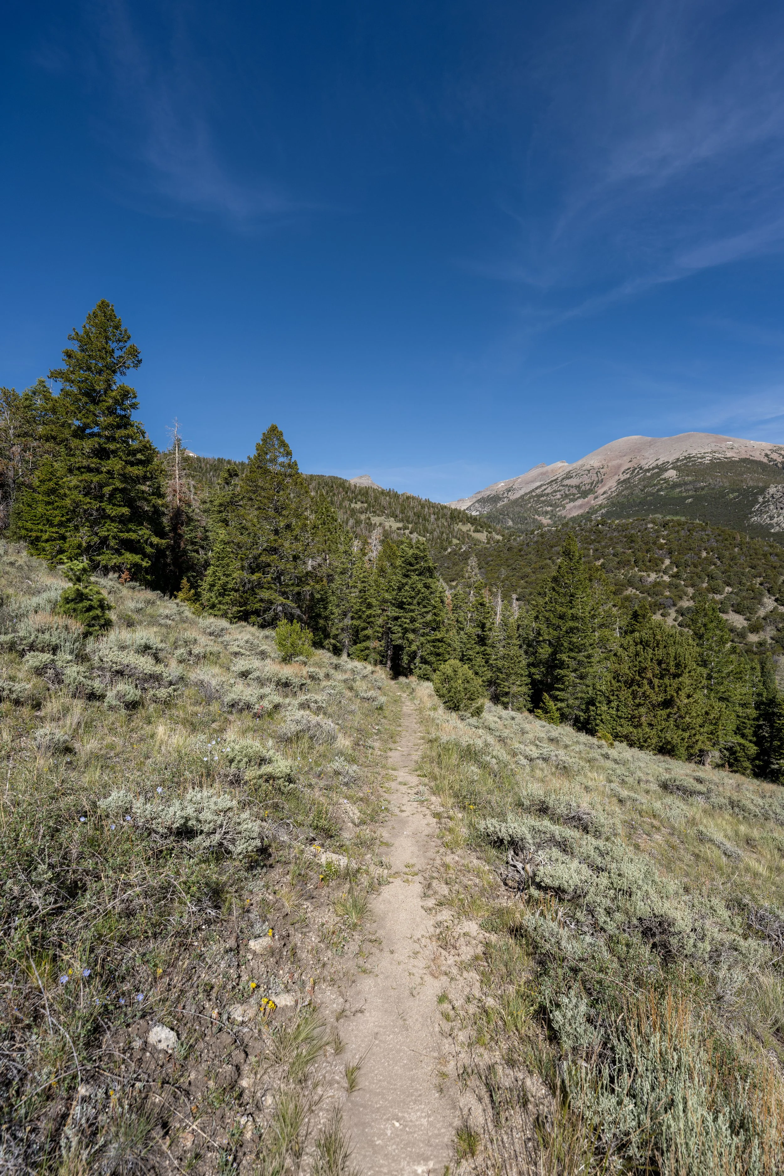
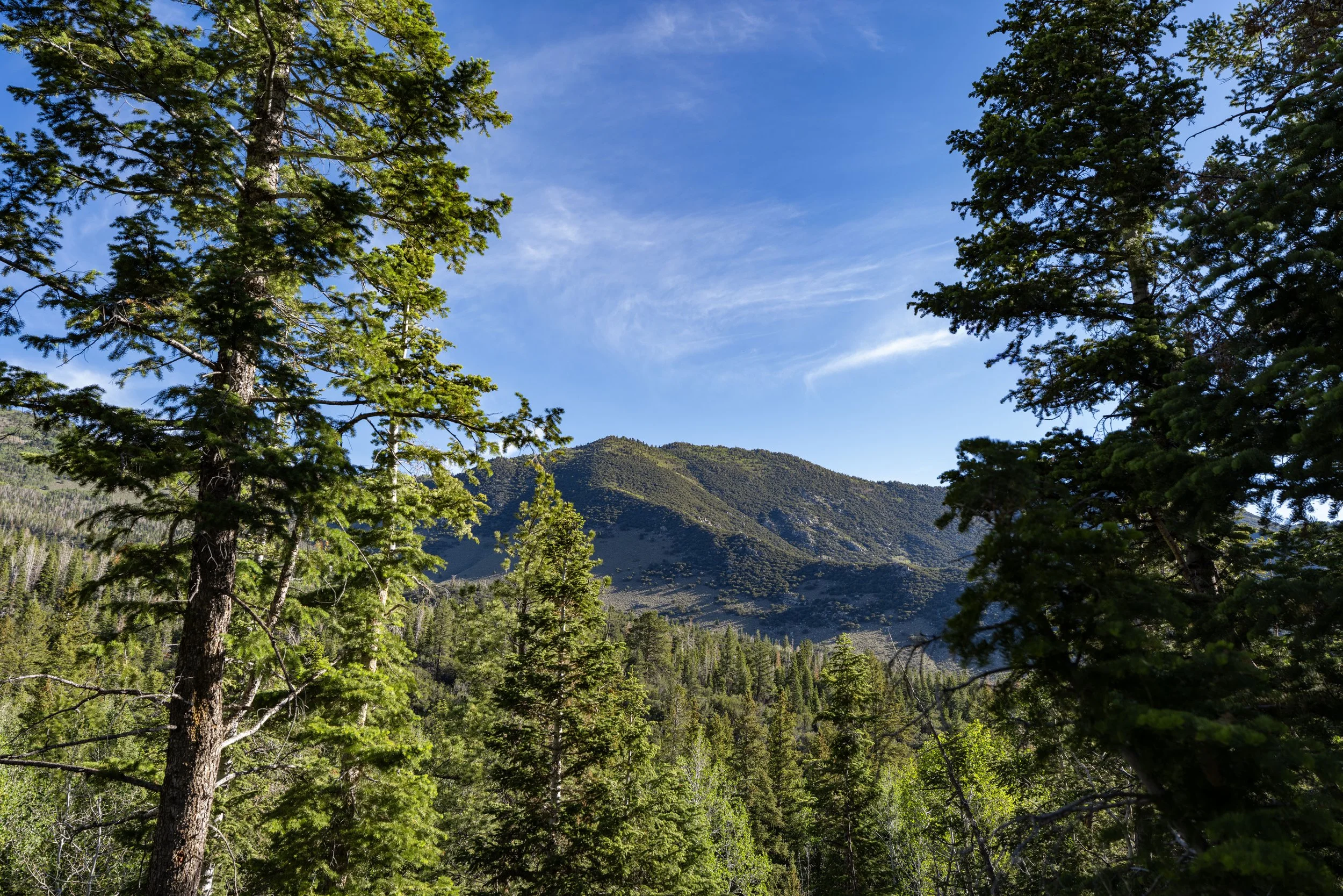
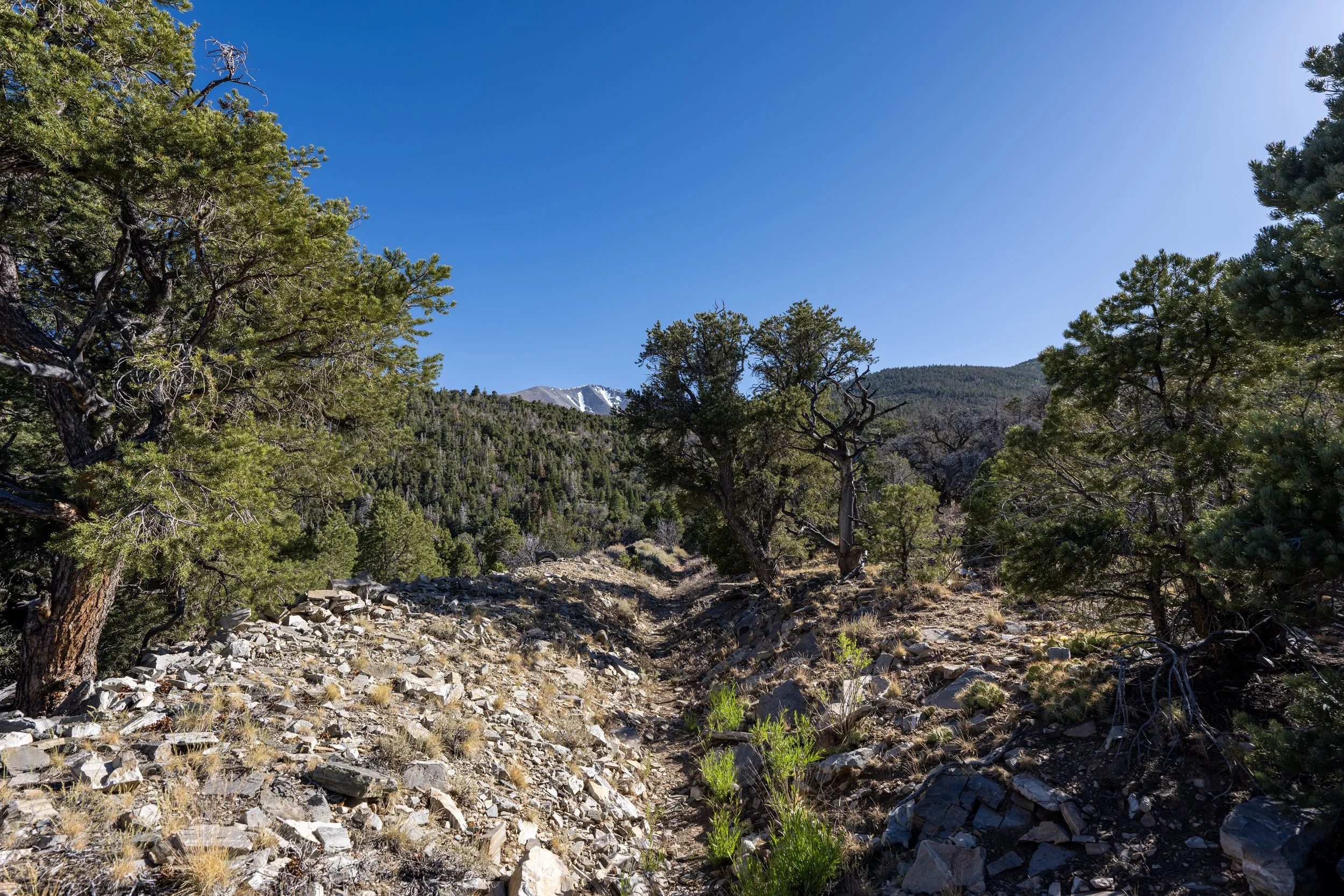
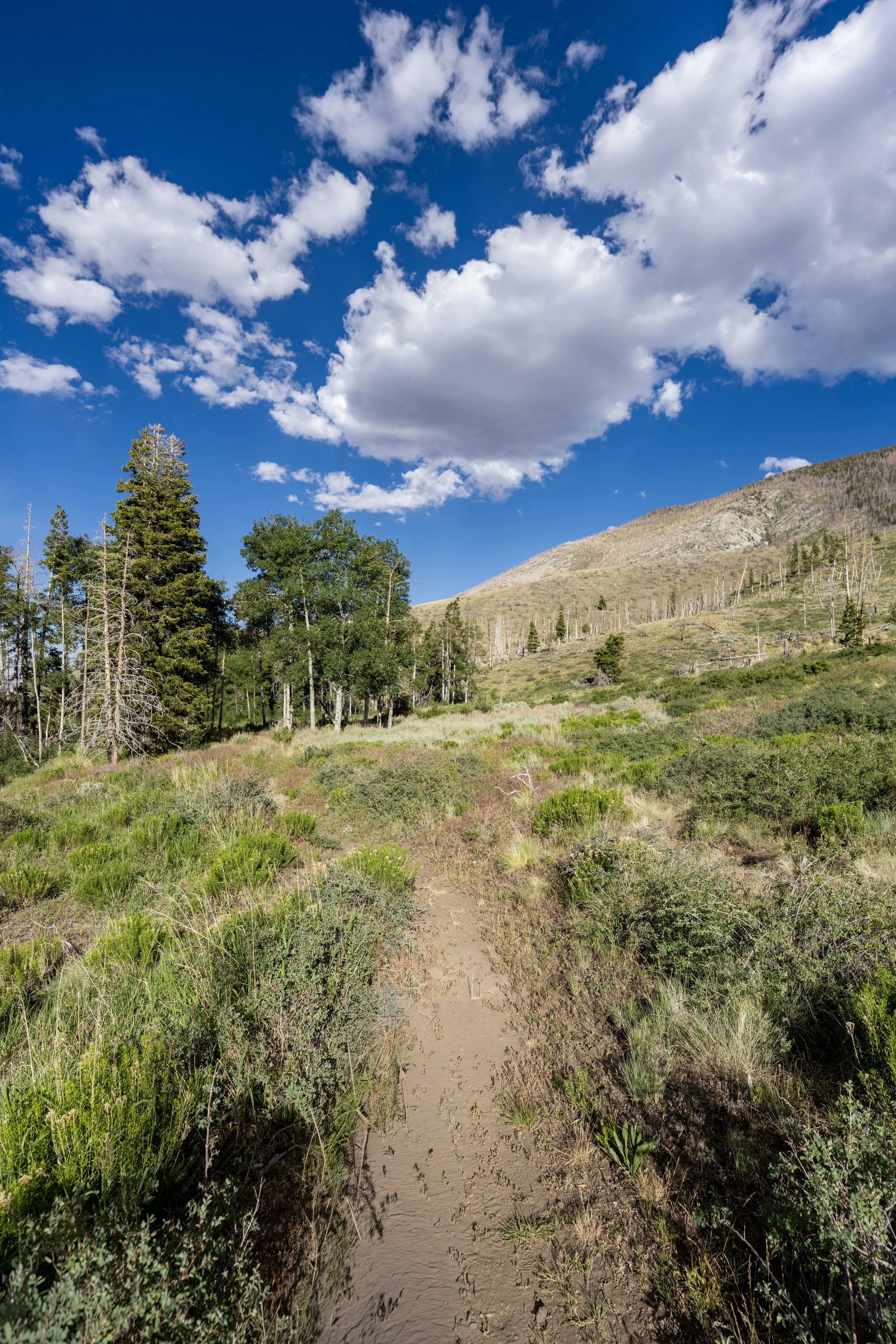
After about 0.25 miles (0.4 km) from where the hike leaves the Sage Steppe Loop Trail, the Upper Strawberry Creek Trail leaves the burn scar behind and enters what is generally considered to be the most beautiful part of the entire hike following the 2016 wildfire.
I say this because, from this point to the end of the trail, the hike remains in the trees, making it very quiet and relaxing adventure, which again, is why I think the Upper Strawberry Creek Trail is the perfect early-morning adventure in Great Basin!
Are There Fish in Strawberry Creek?
Yes, and according to the National Park Service, Strawberry Creek was one of the park’s best streams for supporting native Bonneville Cutthroat Trout before the 2016 Strawberry Creek Fire and has been actively restored and managed in the years following the devastating fire.
How Far is it Worth Hiking Up the Upper Strawberry Trail?
This is probably the hardest question to answer because, unlike the Lehman Creek Trail, where there is one beautiful meadow worth hiking to right in the middle, the Upper Strawberry Trail doesn’t have the same clear-cut destination.
At least, I say this in the sense that the saddle between Windy Peak and Bald Mountain at the end is beautiful, but nowhere near as beautiful as the meadow along Lehman Creek.
This is why I think it’s best to hike as far as you feel like it. Reaching the end of the trail is certainly not a difficult, but if time is a factor and you have plans to see other areas of the park, any turnaround point in the forest feels about the same as the next.
The Upper Strawberry Creek Trail gains about 1,280 ft. (390 m) from the trailhead to the saddle at the end.
That said, the elevation gain is quite gradual, even on the steep parts, which is why I believe the Upper Strawberry Creek Trail is one of the better trail-running hikes in Great Basin National Park!
If trail running is something you’re considering, I recommend using the shoes I have linked below, as they work well for both hiking and trail running on all the best adventures across Great Basin.
This is about as steep as the Upper Strawberry Trail gets, and even though it’s certainly not nearly the steepest adventure in Great Basin National Park, some hikers may still want to bring trekking poles.
These two back-to-back switchbacks are a nice sign that the end of the trail, near the park boundary, is only about 0.3 miles (0.5 km) away!
This is where the Upper Strawberry Creek Trail crosses above 9,000 ft. (2,743 m).
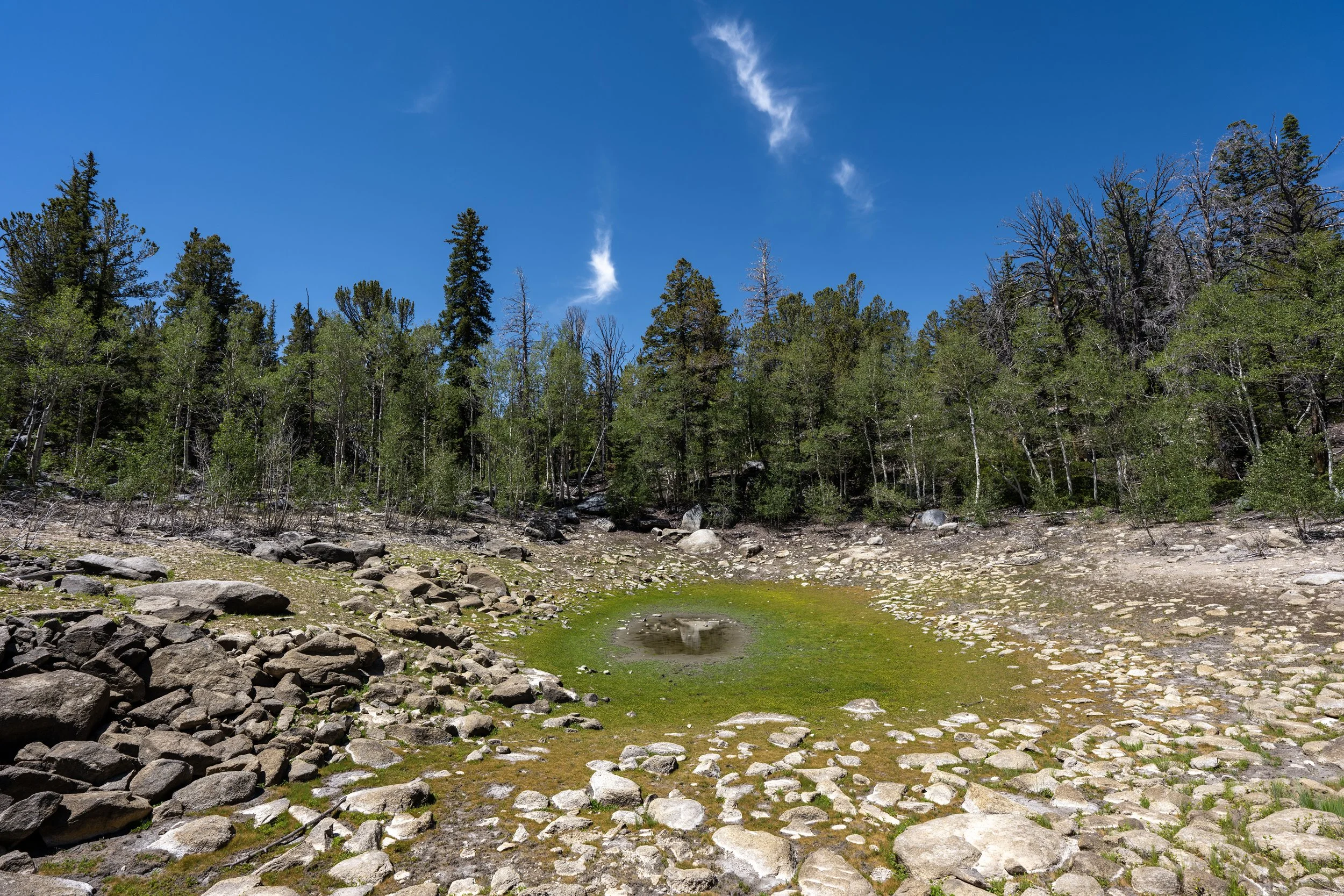
Compared to the beginning of the hike, the uppermost elevations of Strawberry Creek are often dry.
This is because Strawberry Creek is fed by a natural groundwater spring located at about 8,500 ft. (2,591 m) of elevation, meaning it flows throughout the driest summer months and is a great fly fishing destination in Great Basin as a result!
End of Upper Strawberry Trail
This is the end of the Upper Strawberry Creek Trail, located about 2.1 miles (3.4 km) from the trailhead.
This pass, or saddle, is less than 0.2 miles (0.3 km) from the Great Basin National Park boundary, located just a short distance through the trees ahead.
The views to the north look toward Windy Peak, but to the south, Wheeler Peak cannot be seen, as it is blocked by Bald Mountain—the peak that can be seen to the north when climbing the Wheeler Peak Summit Trail.