Hiking the Wheeler Peak Summit Trail in Great Basin National Park
Distance: 8.6 miles / 13.8 km
Elevation Gain: 2,883 ft. / 879 m
The Wheeler Peak Summit Trail in Great Basin National Park is a beautiful and renowned day hike by both locals and visitors alike, as the 4.3-mile (6.9 km) trail winds to both the highest point in the National Park and the highest peak located entirely in the State of Nevada!
That said, the word "entirely" is a bit of a technicality, as there is a higher summit in Nevada, though it’s a bit of a contested debate because much of the actual mountain lies on the California side of the state line.
In any case, the Wheeler Peak Summit Trail is a very gradual ascent that winds it’s way up the northern slopes of the peak before eventually topping out at just over 13,000 ft. (3,962 m)!
To that point, it’s fair to say that Wheeler Peak is, by all intents and purposes, an easy summit for what many similar peaks across the Mountain West require to reach.
This is why, if the Snake Range is largely snow-free, Wheeler Peak can be a great day hike for all who have the fitness and ability to hike at these high elevations, which begin at just over 10,000 ft. (3,048 m) at the Wheeler Peak Summit Trailhead.
Wheeler Peak Summit Trailhead Parking
Parking for the Wheeler Peak Summit Trail is located at either the Wheeler Peak Summit Trailhead, just before the end of Wheeler Peak Scenic Drive, or at the Bristlecone–Alpine Lakes Trailhead, the start of the Alpine Lakes Loop Trail, about 0.6 miles (1.0 km) away down the road.
I mention both because there is a debate about which trailhead is better to begin, but I recommend starting at the Wheeler Peak Summit Trailhead, something I discuss in more detail below.
Google Maps Directions: Wheeler Peak Summit Trailhead
Hiking Checklist - Great Basin
Here is a complete list of must-have things that you will want for any hike in Great Basin National Park.
Hiking the Wheeler Peak Summit Trail
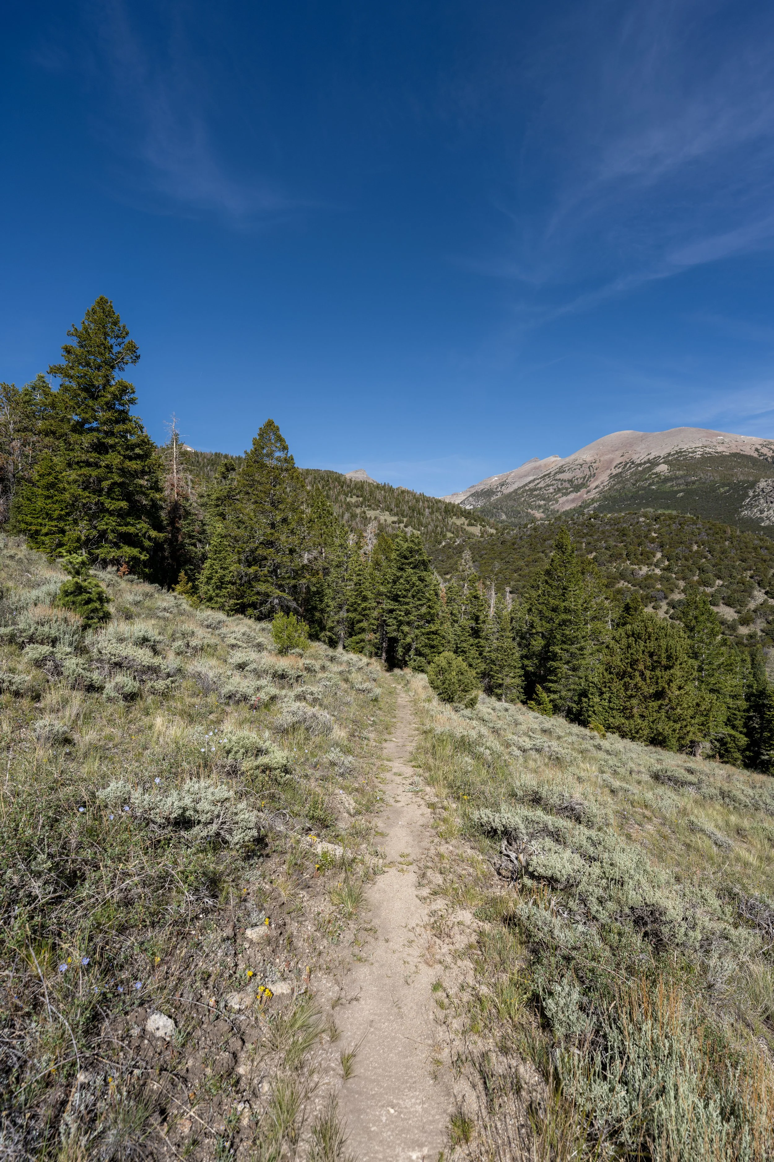
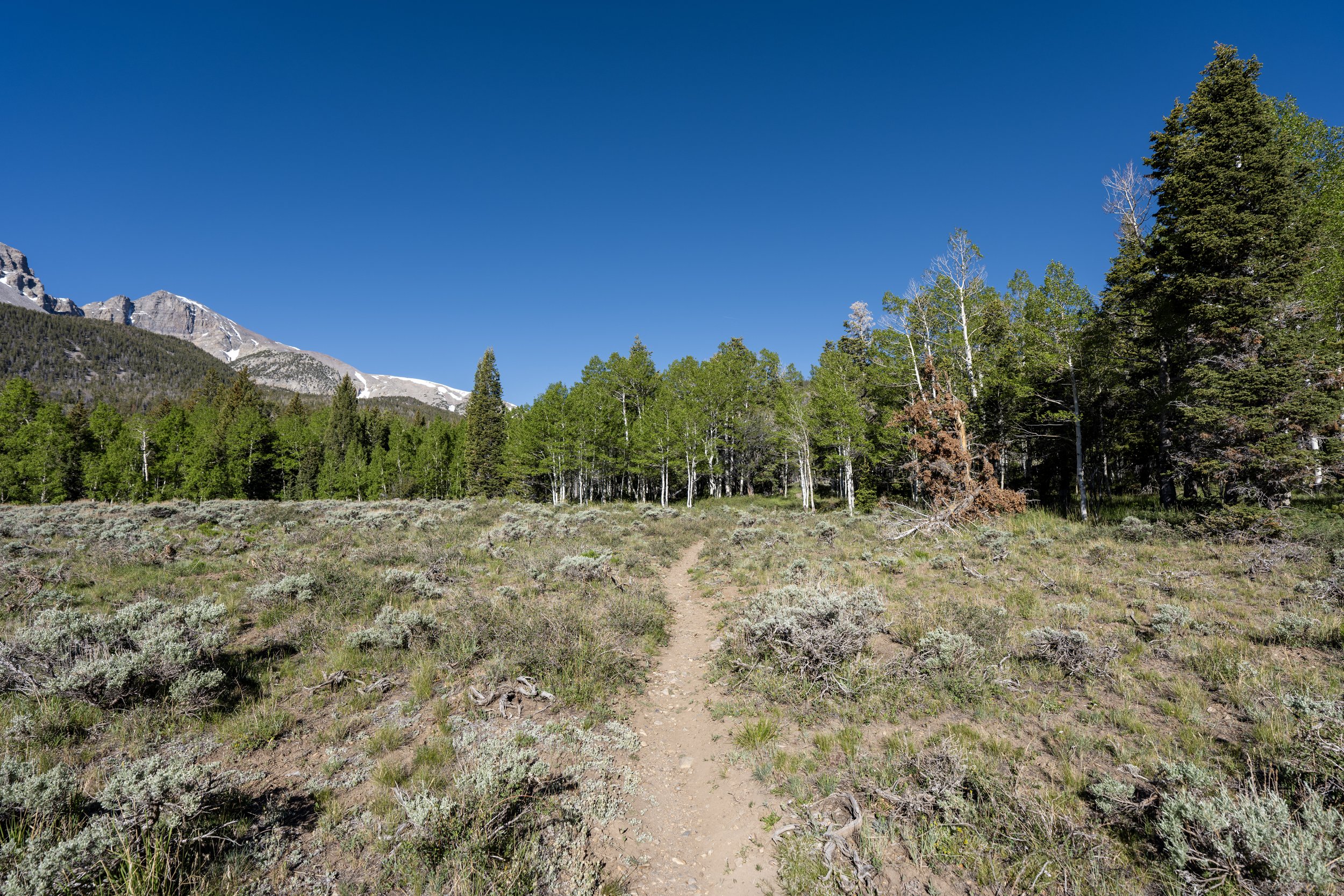
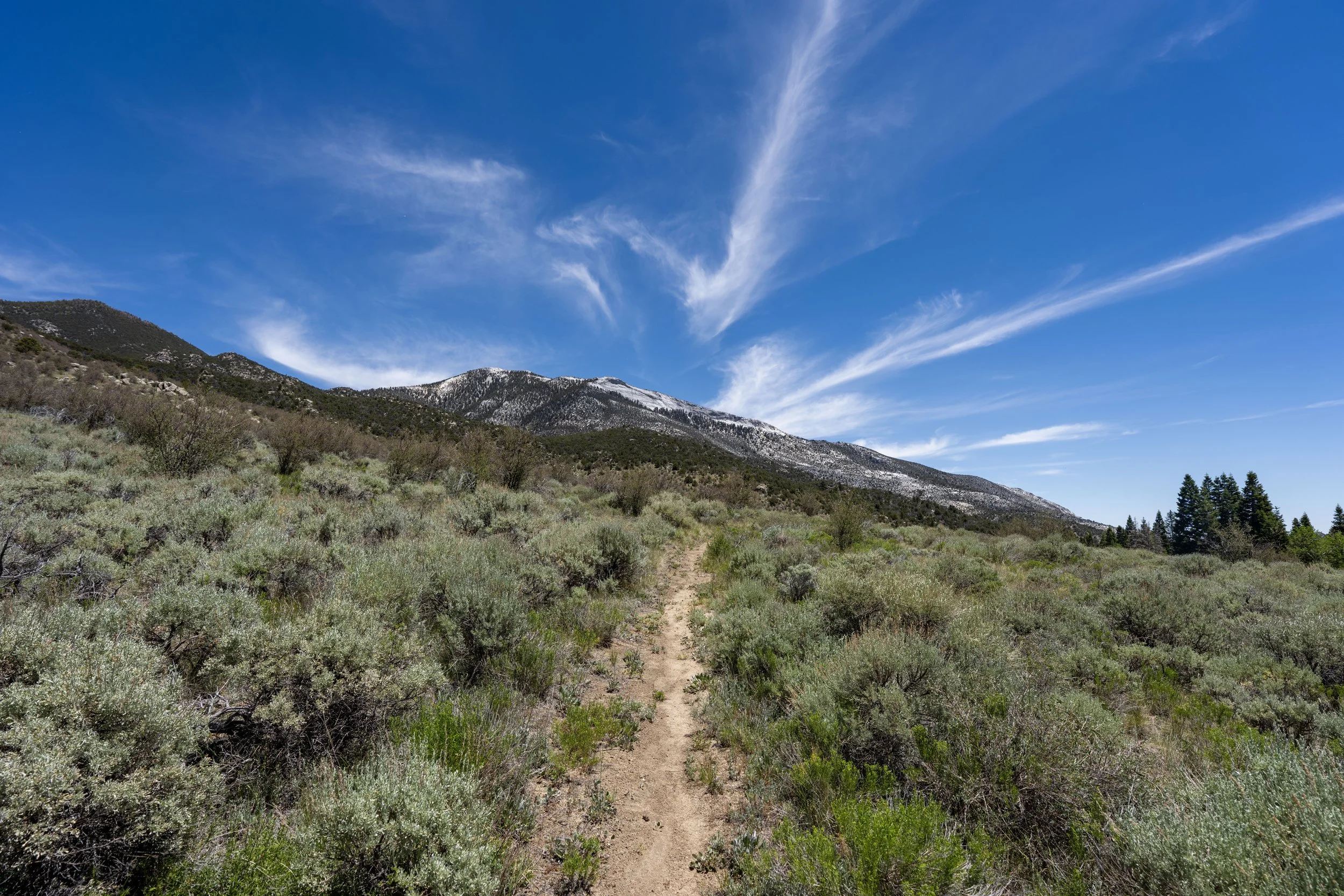
The Wheeler Peak Summit Trail begins directly off Wheeler Peak Scenic Drive, where the hike begins a very gradual ascent as it winds its way up to the Alpine Lakes Loop Trail, about 1.1 miles (1.8 km) into the hike.
Wheeler Peak Summit vs. Bristlecone–Alpine Lakes Trailhead
The debate about whether to begin at the true Wheeler Peak Summit Trailhead or the Bristlecone–Alpine Lakes Trailhead, better known as the Alpine Lakes Loop Trailhead, comes down to two things: distance and elevation gain.
The Wheeler Peak Summit Trailhead begins at 10,180 ft. (3,103 m) and gains 170 ft. (52 m) over the first 1.1 miles (1.8 km) to the first junction with the Alpine Lakes Loop.
Alternatively, the Bristlecone–Alpine Lakes Trailhead begins at 9,960 ft. (3,036 m) and gains 390 ft. (119 m) over the first 0.9 miles (1.4 km) to the same junction.
As I’m sure it’s obvious, the difference isn’t all that drastic, but I personally prefer the slightly longer start on the Wheeler Peak Summit Trail as opposed to a shorter but steeper start on the Alpine Lakes Loop Trail.
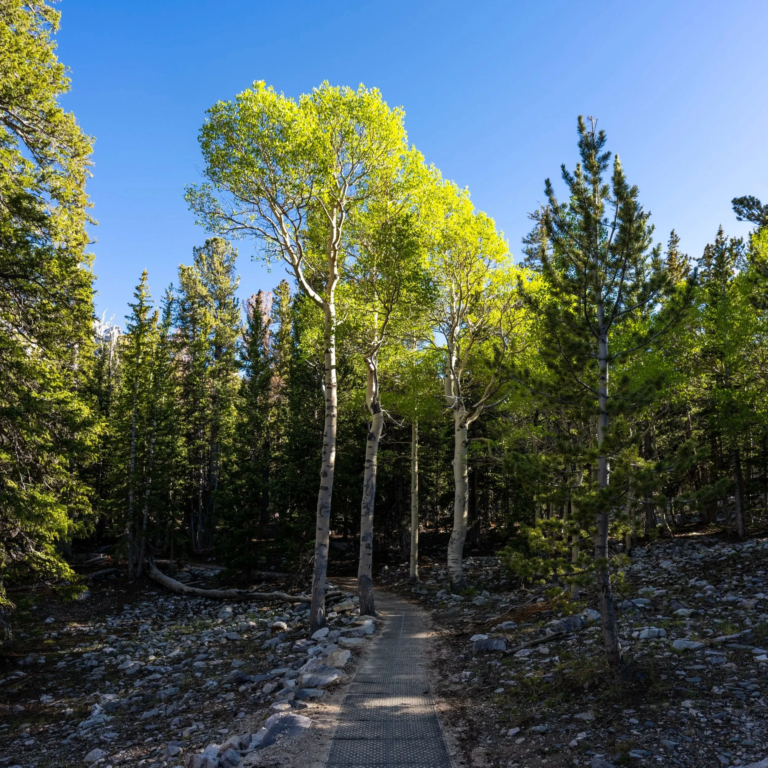
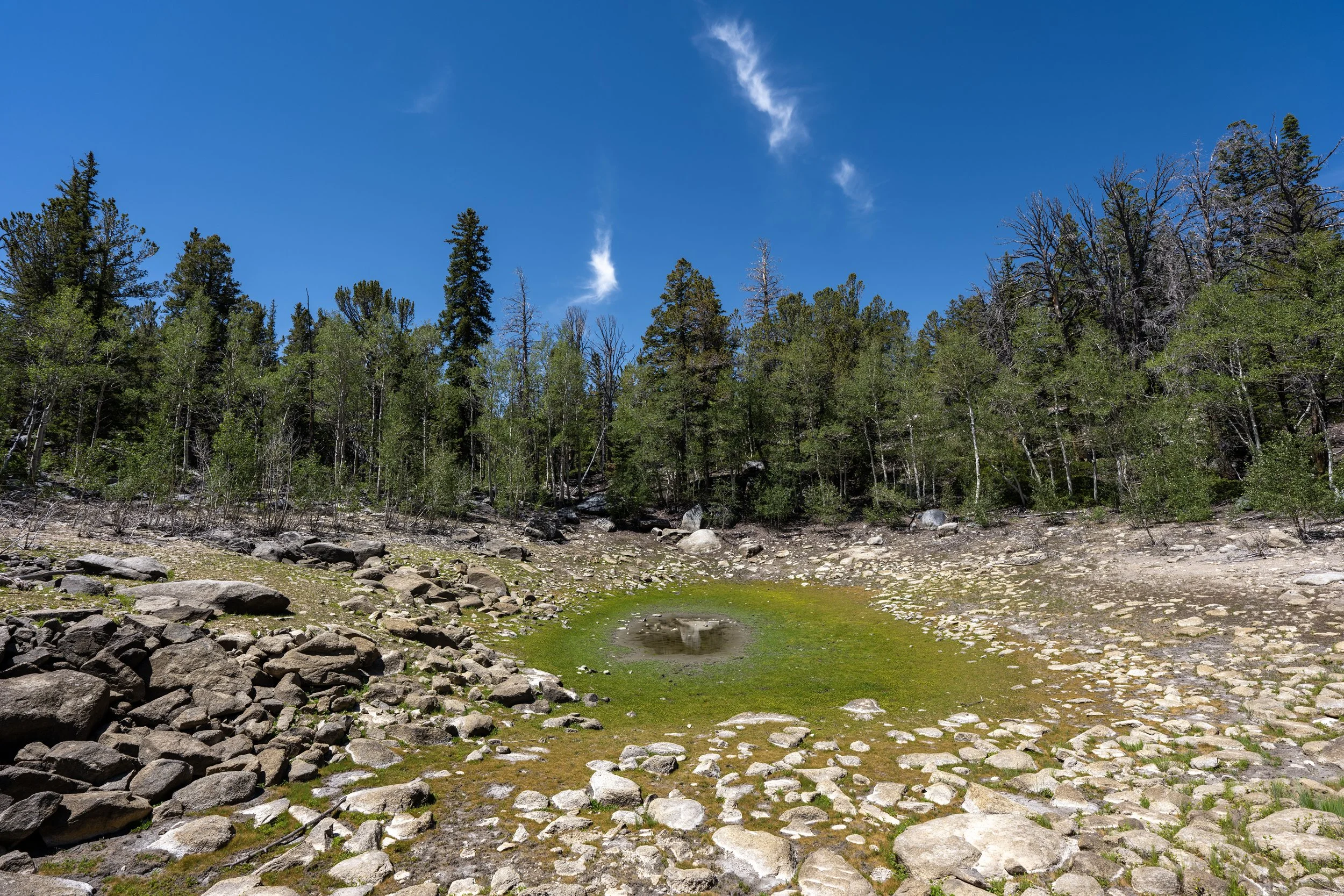
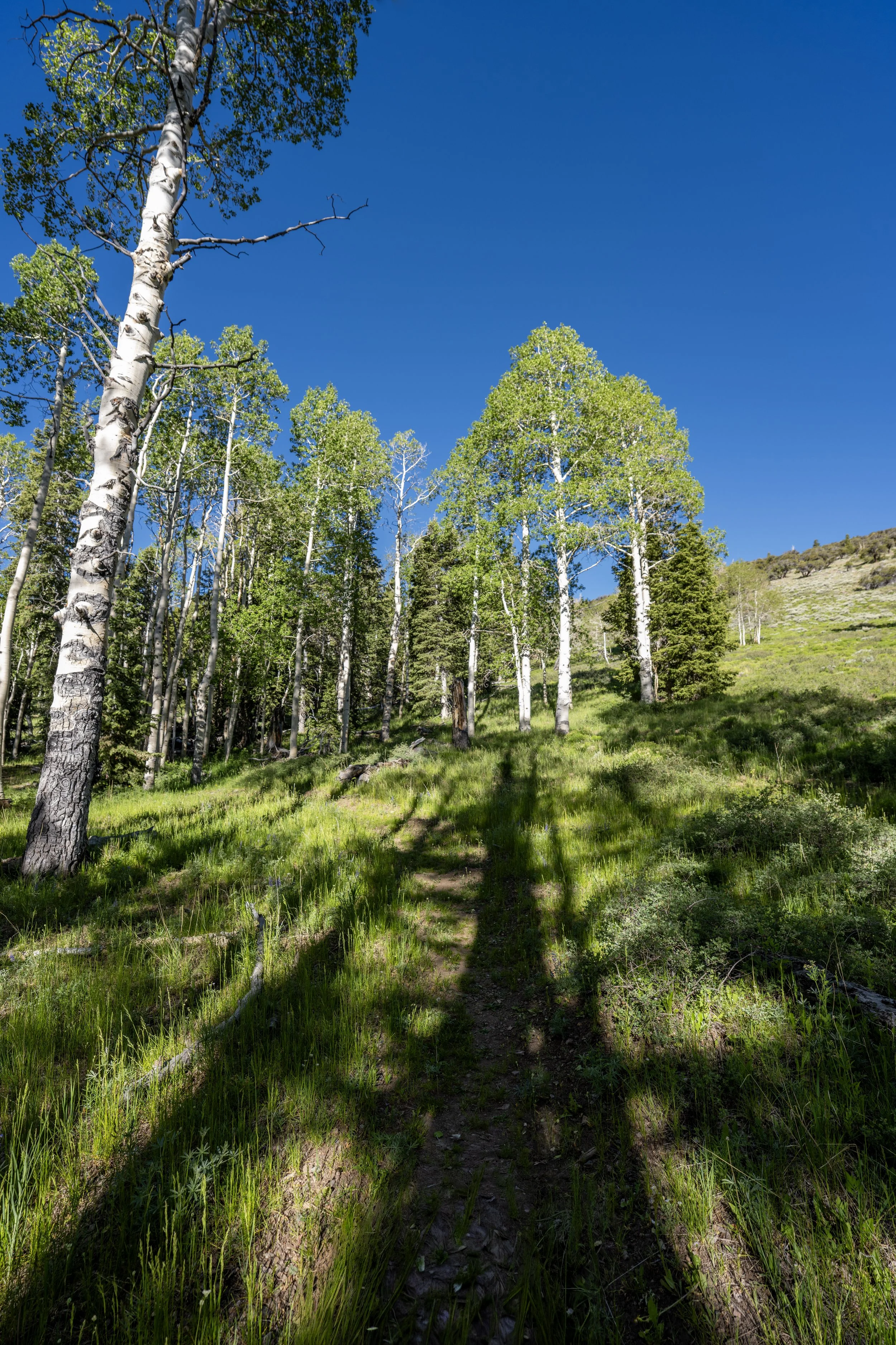
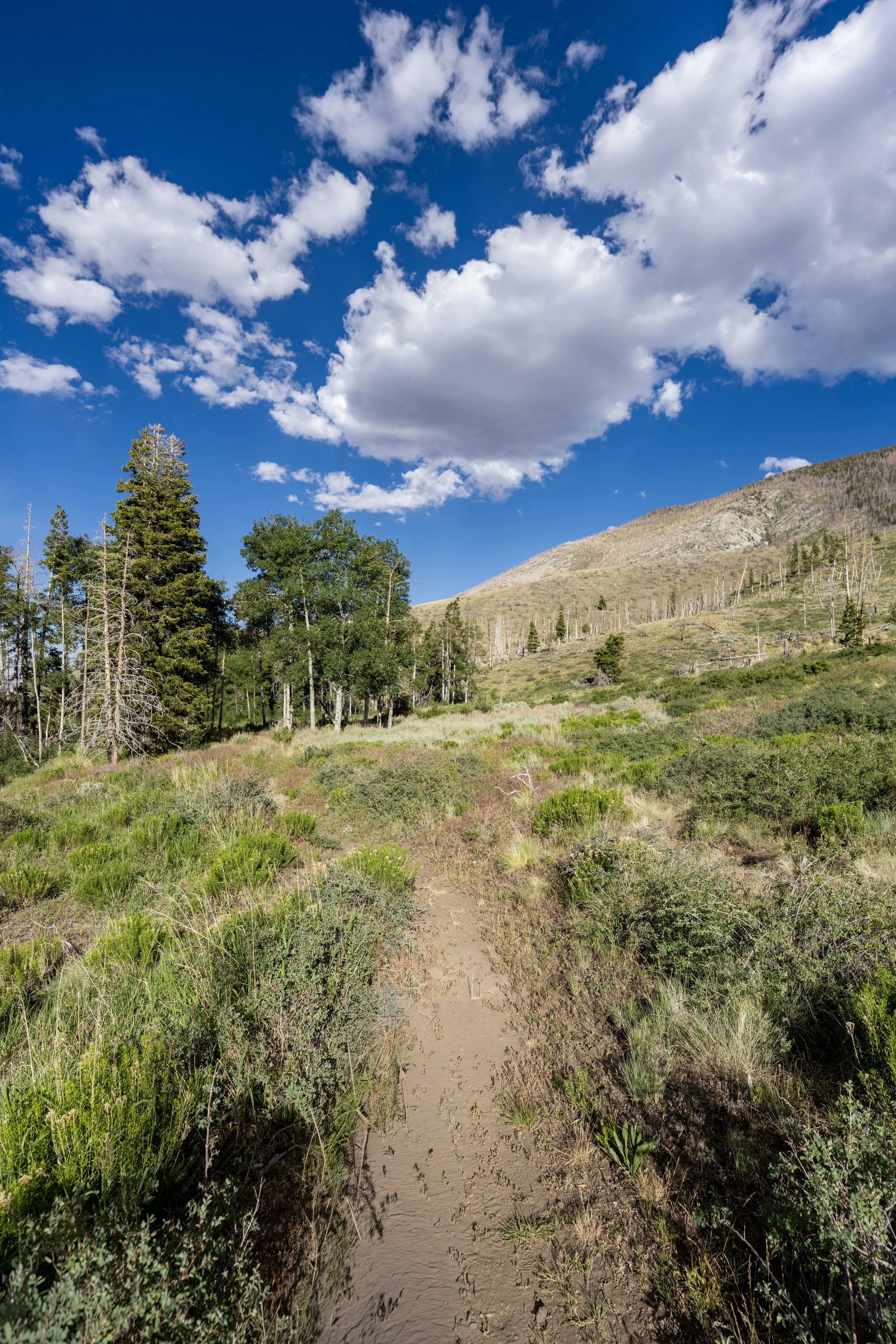
The Wheeler Peak Summit Trail begins in a beautiful mixed Aspen–Engelmann Spruce forest, where views of the summit come and go below the tree line.
That said, the beginning of the hike is very easy and fast-moving and, most of all, less busy than the Alpine Lakes Loop Trail, which is another reason I prefer to begin hiking here rather than at the Bristlecone–Alpine Lakes Trailhead down the road.
The first time I ever hiked Wheeler Peak with friends was for sunrise, and I mention this because, back then, when we were hiking through these Aspen trees in the dark, someone had the bright idea to turn their headlamp away from the trail and look straight into the forest, only to be met with countless pairs of eyes staring us down—which was all we could see!
Now, to be fair, the eyes were all very likely Mule Deer, as the only other possibility would have been Mountain Lions, given that there are no bears in Great Basin National Park.
Nevertheless, it was quite a creepy feeling, but we later confirmed that they were Mule Deer because, for whatever reason, a few were exploring at over 12,000 ft. (3,656 m) as the sun began to light up the trail and we neared the summit.
This is where the summit of Wheeler Peak can be seen from the trail for the first time!
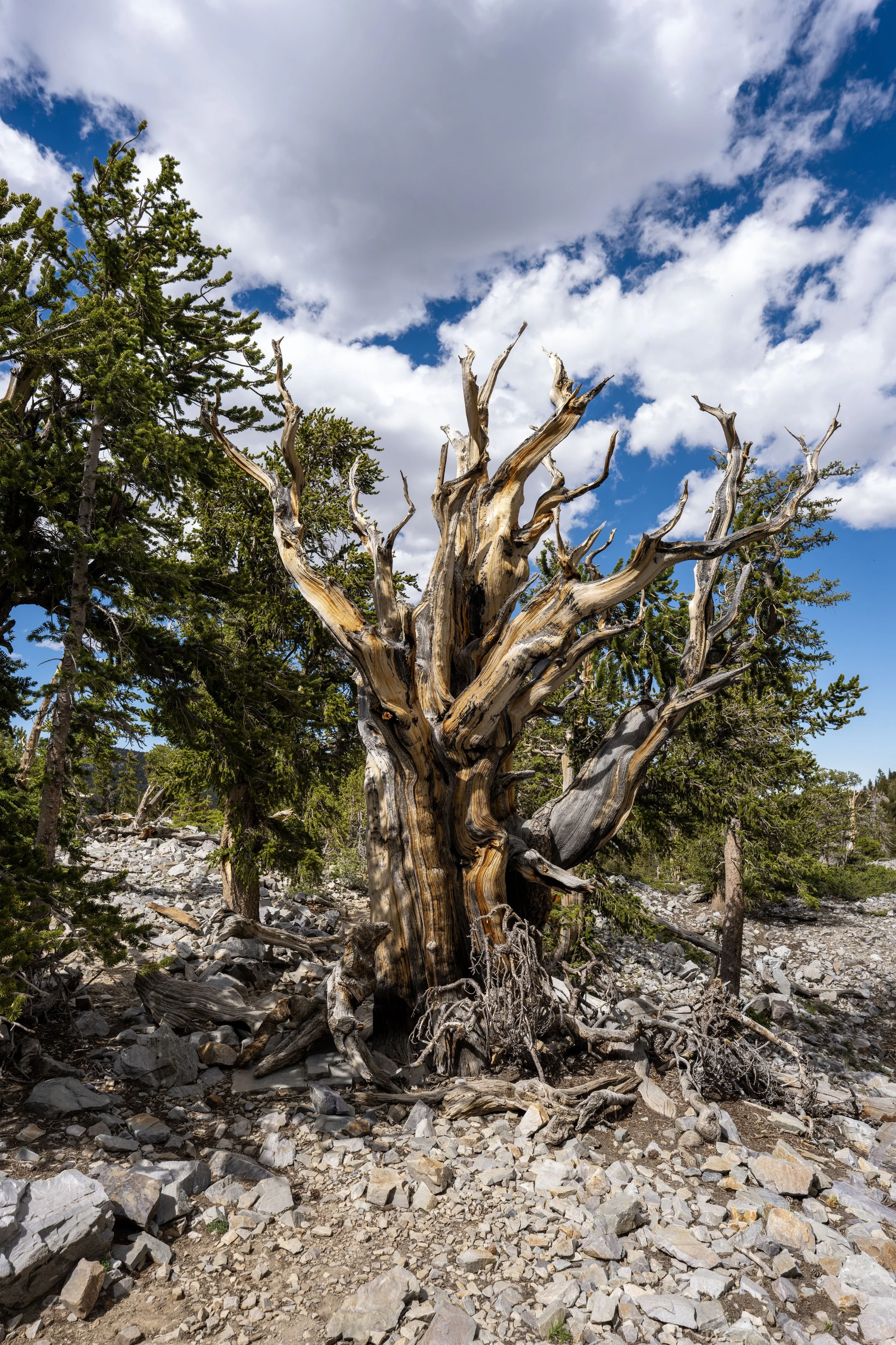
The ridge extending northeast from Wheeler Peak is where many of the ancient Bristlecone Pines are located in Great Basin National Park, including the Prometheus Stump—the remains of what was once the oldest tree on Earth!
In any case, the Bristlecone Loop and Glacier Trail run along the left side of this ridge, which will make more sense when looking back down toward the glacier from the summit.
Regardless of what happened in my earlier story, I stand by the thought that Wheeler Peak is a great sunrise adventure, given that there is truly nothing technical about the climb as long as the trail is snow-free.
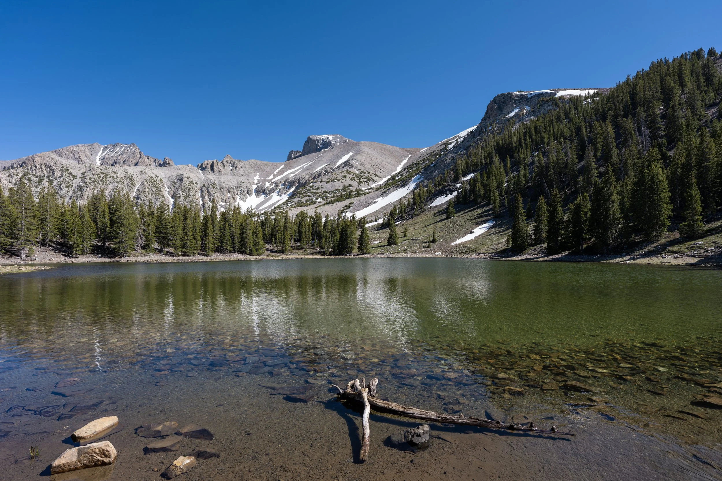
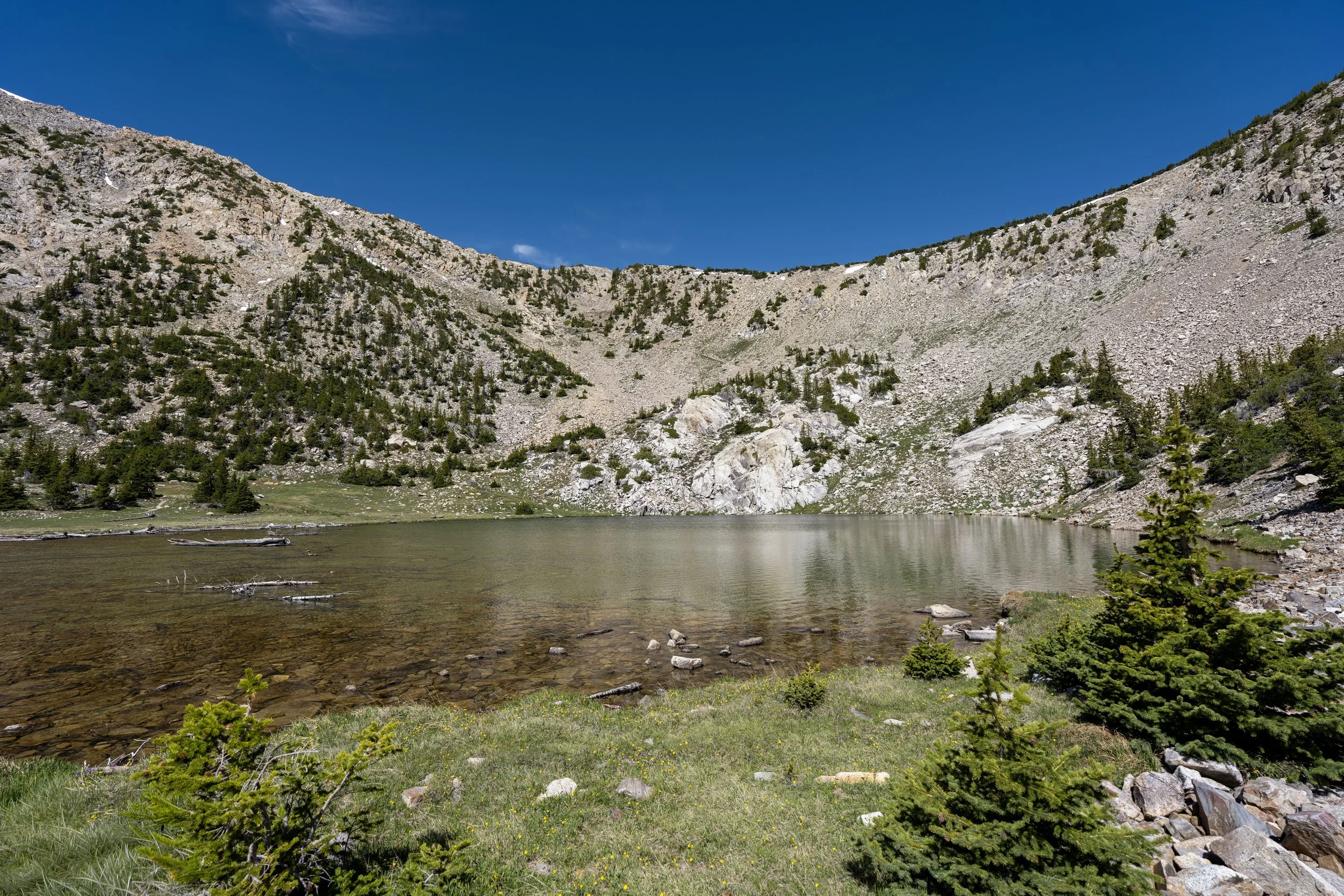
This is why I highly recommend traveling to Great Basin National Park with a quality headlamp, which can also be used to hike the Alpine Lakes Loop Trail before sunrise, as no lake is better for enjoying the alpenglow on Wheeler Peak than Stella Lake!
Lower Wheeler Peak Summit-Alpine Lakes Loop Junction
After 1.1 miles (1.8 km), the Wheeler Peak Summit Trail reaches the Alpine Lakes Loop Trail.
This is why there is a minor debate regarding which trailhead is better, as outlined at the beginning of this article.
In any case, go right at this junction to begin hiking the Alpine Lakes Loop for roughly 0.1 miles (0.2 km), at which point the Wheeler Peak Summit Trail will branch away.
Read My Separate Post: Alpine Lakes Loop Trail
Upper Wheeler Peak Summit-Alpine Lakes Loop Junction
This is where the Wheeler Peak Summit Trail leaves the Alpine Lakes Loop, just 0.1 miles (0.2 km) up the trail from the first junction and about 200 ft. (61 m) above the Wheeler Peak Summit Trailhead.
Once here, go right to leave the loop and begin the much more noticeable ascent up to the ridge on the north side of Wheeler Peak.
Read My Separate Post: Alpine Lakes Loop Trail
After the Alpine Lakes Loop Trail, the climb up the Wheeler Peak Summit Trail is more noticeable, but calling it a steep hike really isn’t fair either.
I say this because I believe the entire hike to the summit of Wheeler Peak is truly a gentle giant compared with what climbing above 13,000 ft. (3,962 m) is often like on countless other summits across the Mountain West.
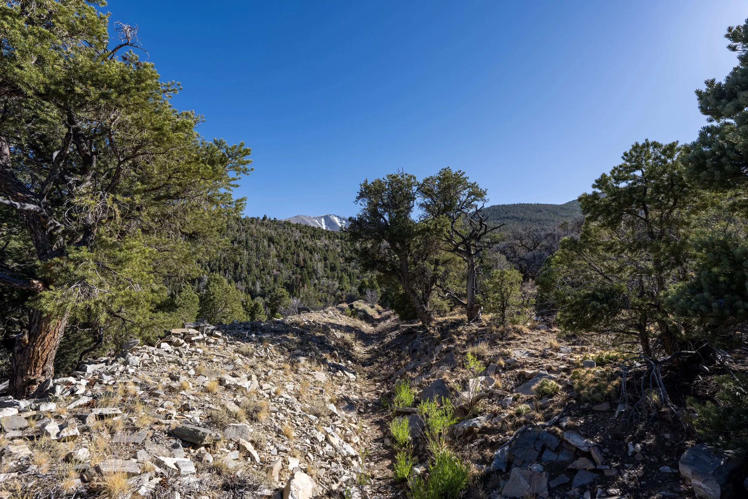
After just 0.3 miles (0.5 km) since leaving the Alpine Lakes Loop Trail, the trees along the Wheeler Peak Summit Trail thin considerably—a trend that only continues as the trail climbs higher.
I mention this because I highly recommend wearing a hooded sun shirt to stay safe, especially given the high elevation and very sunny weather than often dominates Great Basin in the summer.
In my opinion, some of the best views along the Wheeler Peak Summit Trail are found just beyond this switchback.
This short stretch before the trail enters the trees on the north ridge ahead is where I believe the best views below the summit can be found!
This is where the Wheeler Peak Summit Trail begins a long, somewhat tedious ascent up the north ridge to the summit.
That said, I personally believe the trail starts to feel like it’s moving much more quickly once past the first hill above tree line, which I highlight below.
When climbing Wheeler Peak for sunrise, this is where I believe progress starts to feel like it’s being made, as the forest below can really feel like it’s dragging on when hiking in the dark!
This is where the Wheeler Peak Summit Trail crosses above 11,000 ft. (3,353 m).
This is where the Wheeler Peak Summit Trail reaches tree line at roughly 11,160 ft. (3,402 m).
Once again, I could not recommend hiking in a hooded sun shirt more—especially for a midday climb like I was attempting on this day!
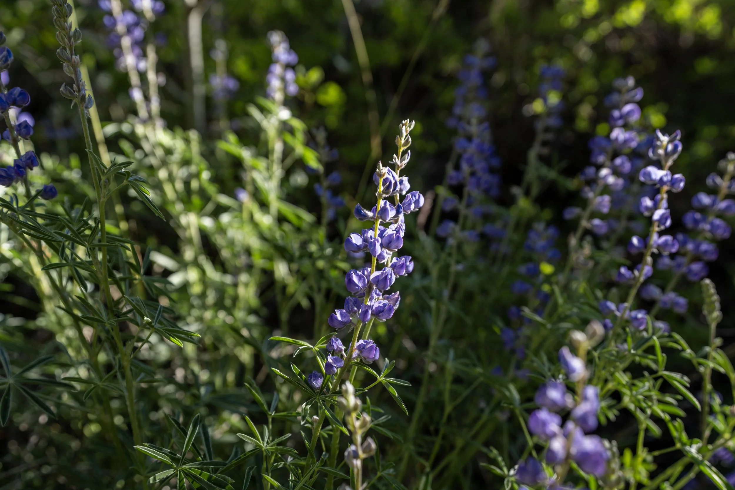
These beautiful yellow flowers growing alongside the Wheeler Peak Summit Trail may not look like much, but they belong to a very rare and imperiled species found only in a few high-alpine environments, including Nevada’s Snake Range and nearby mountain ranges across the border in Utah.
This slope above tree line, but before the peak can be seen, is what I feel is mentally the longest section of the entire trail.
However, this feeling abruptly comes to an end once at the top of this long hill.
This is the view look north toward Bald Mountain.
When the Wheeler Peak Summit Trail crests over this first hill, somewhere between 11,000 and 12,000 ft. (3,353 and 3,658 m), the summit starts to feel closer than ever before!
I say this because, from this point to the top, the rest of the hike to the summit of Wheeler Peak is very visual, making the hike feel like it’s moving much more quickly than the lowest elevations below this point.
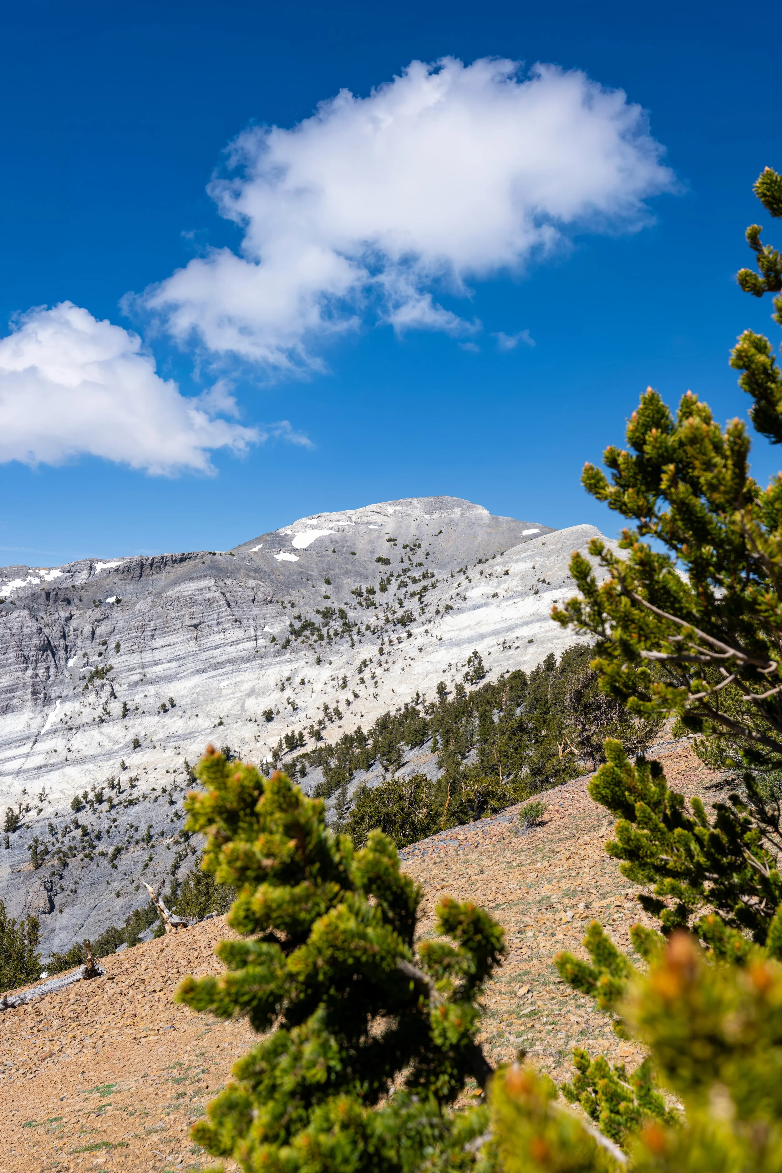
This is where the Wheeler Peak Summit Trail crosses above 12,000 ft. (3,658 m).
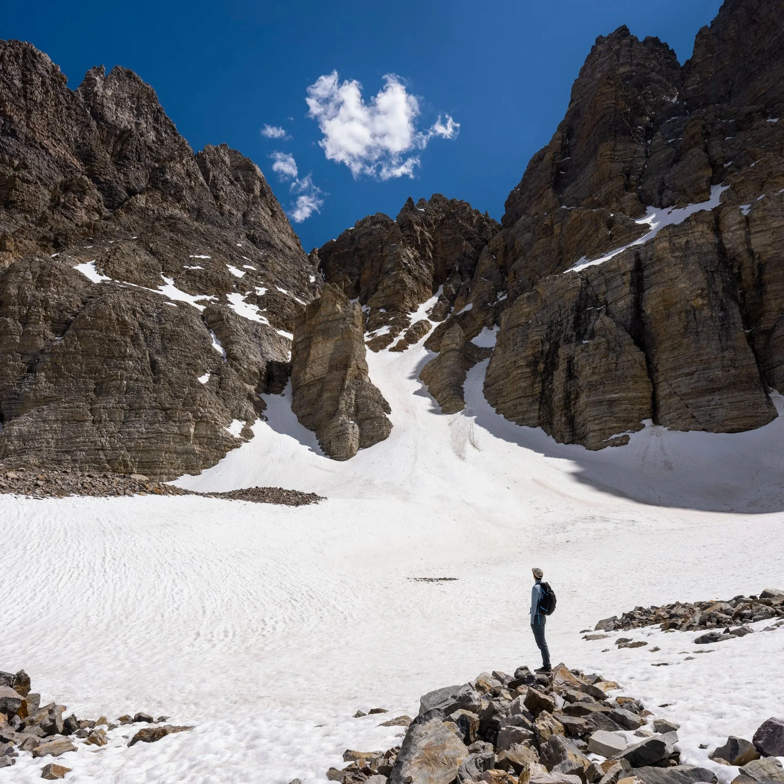
This was one of the few remaining patches of snow covering some of the trail in mid-June, but since the north ridge on Wheeler Peak is so gradual, it’s quite easy to walk straight up the talus slopes to regain the trail just up the hill.
The final ascent above 12,000 ft. (3,658 m) consists of countless rapid switchbacks as the trail makes its way up to the summit ridge.
If you are hiking for sunrise, this final section can be one of the colder parts of the climb, especially when there is a breeze from the west.
The summit of Wheeler Peak is not the highest point on the ridgeline straight ahead.
Rather, it’s the point just to the left that is mostly out of view from this angle.
One of the last things to consider with any high-elevation Mountain West summit is the weather, and while Great Basin National Park often sees very sunny skies during the summer, be sure to take the risk of thunderstorms seriously.
This is why I recommend checking Mountain Forecast before attempting this or any similar summit, as no source is better for weather in alpine environments around the world.
Mountain Forecast: Wheeler Peak
This is where the Wheeler Peak Summit Trail leaves the north ridge to begin winding its way up the switchbacks on the talus slopes just below the top.
Just before the summit, there was one final snow-covered switchback on this day in mid-June that, again, required walking straight up the slope to regain the trail above.
This is where the Wheeler Peak Summit Trail crosses above 13,000 ft. (3,962 m).
This is where the Wheeler Peak Summit Trail turns the final switchback, just below the true summit and the end of the hike!
At this split, go right to reach the summit of Wheeler Peak.
Wheeler Peak
According to the National Park Service, the summit of Wheeler Peak stands at approximately 13,063 ft. (3,982 m), or about 7,745 ft. (2,361 m) above the town of Baker, Nevada, just outside the park boundary!
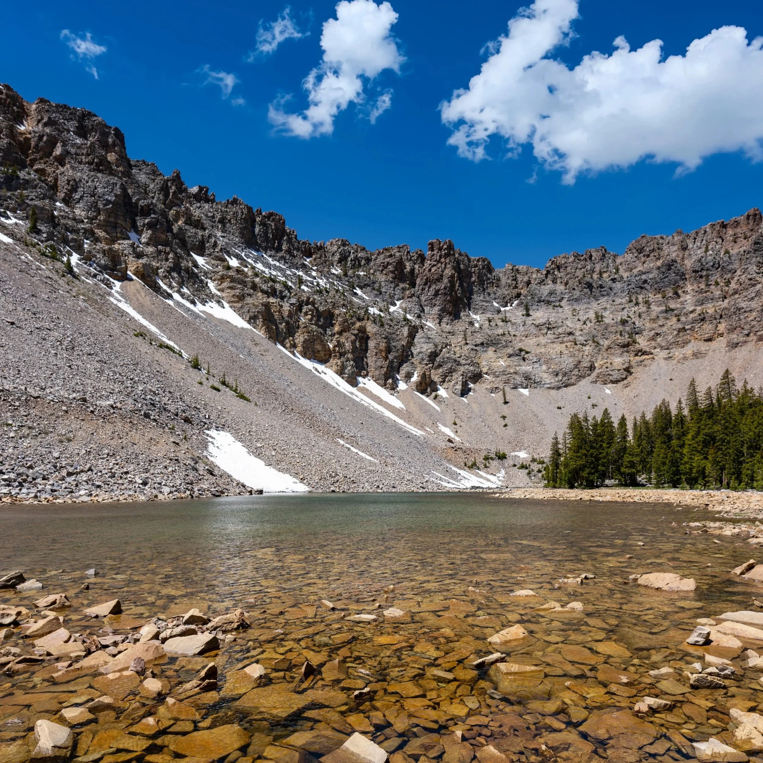
Past the summit of Wheeler Peak, it’s very easy to walk east across the summit ridge to see Wheeler Peak Glacier, which I could not recommend more!
This is the view looking northeast above the Wheeler Peak Rock Glacier, with the exposed parts of the glacier just out of view in the deepest, most shaded parts of the cirque beneath Wheeler Peak.
That said, the entire rock glacier, up to the exposed glacier, can be hiked via the Bristlecone–Alpine Lakes Trailhead, which I encourage you to learn more about in my separate article linked below.
Read My Separate Post: Glacier Trail