Hiking the Lehman Creek Trail in Great Basin National Park
Distance (One Way): 3.4 miles / 5.5 km
Elevation Change: ~2,050 ft. / 625 m
The Lehman Creek Trail in Great Basin National Park is a beautiful day hike that runs the length of Lehman Creek between Upper Lehman Creek Campground and Wheeler Peak Campground, at the very end of Wheeler Peak Scenic Drive!
The Lehman Creek Trail can either be treated as an out-and-back day hike or as a fun, all-downhill adventure for those traveling with someone who is uninterested in exploring the trail.
This is what I recommend for those who can find a ride to the Upper Lehman Creek Trailhead, but in either case, the Lehman Creek Trail is a beautiful, quiet day hike with great views of Wheeler Peak along the way!
Lehman Creek Trailhead Parking
Parking for the Lehman Creek Trail is located at the Lower Lehman Creek Trailhead within Upper Lehman Creek Campground. There is no parking area at the Upper Trailhead within Wheeler Peak Campground.
That said, the parking area at the Lower Lehman Creek Trailhead is very small and can fit only a few cars. However, since the Lehman Creek Trail is not the most popular day hike in Great Basin National Park, finding a place to park is usually not an issue.
Google Maps Directions: Lehman Creek Trailhead
Hiking Checklist - Great Basin
Here is a complete list of must-have things that you will want for any hike in Great Basin National Park.
Hiking the Lehman Creek Trail
Lower Lehman Creek Trailhead
On this day, I planned to hike the Lehman Creek Trail as an out-and-back adventure, which is why I chose to hike up Lehman Creek first instead of saving the uphill for the end.
With the Lehman Creek Trail, I think it’s easy enough to say: what you see is what you get.
By this, I mean that the Lehman Creek Trail simply winds its way up a mostly forested path, gaining roughly 2,050 ft. (625 m) over the course of 3.4 miles (5.5 km) to the Upper Trailhead.
There are no junctions or turns worth noting, including the point where the trail crosses the Osceola Ditch, which I discuss in more detail below.
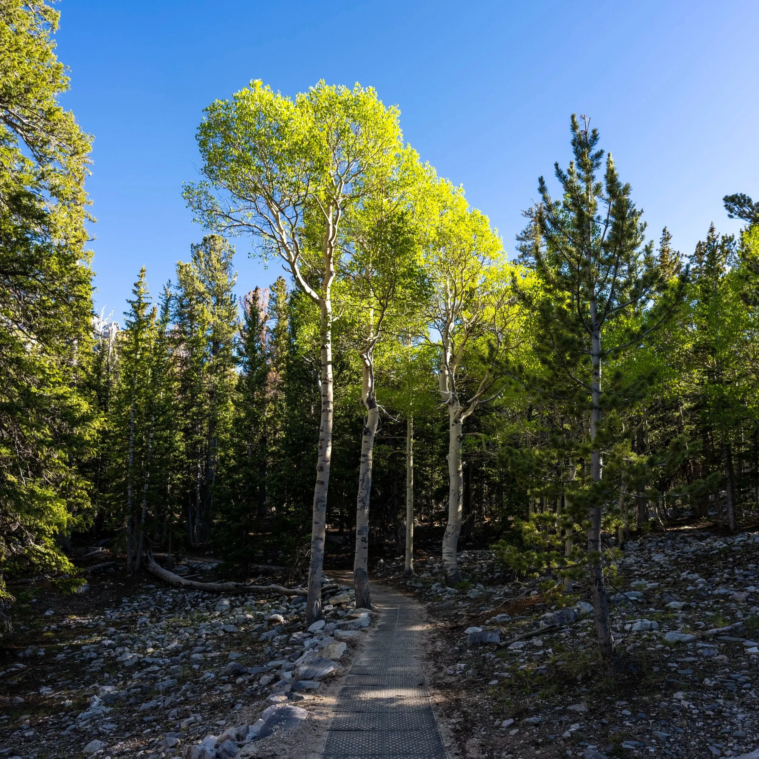
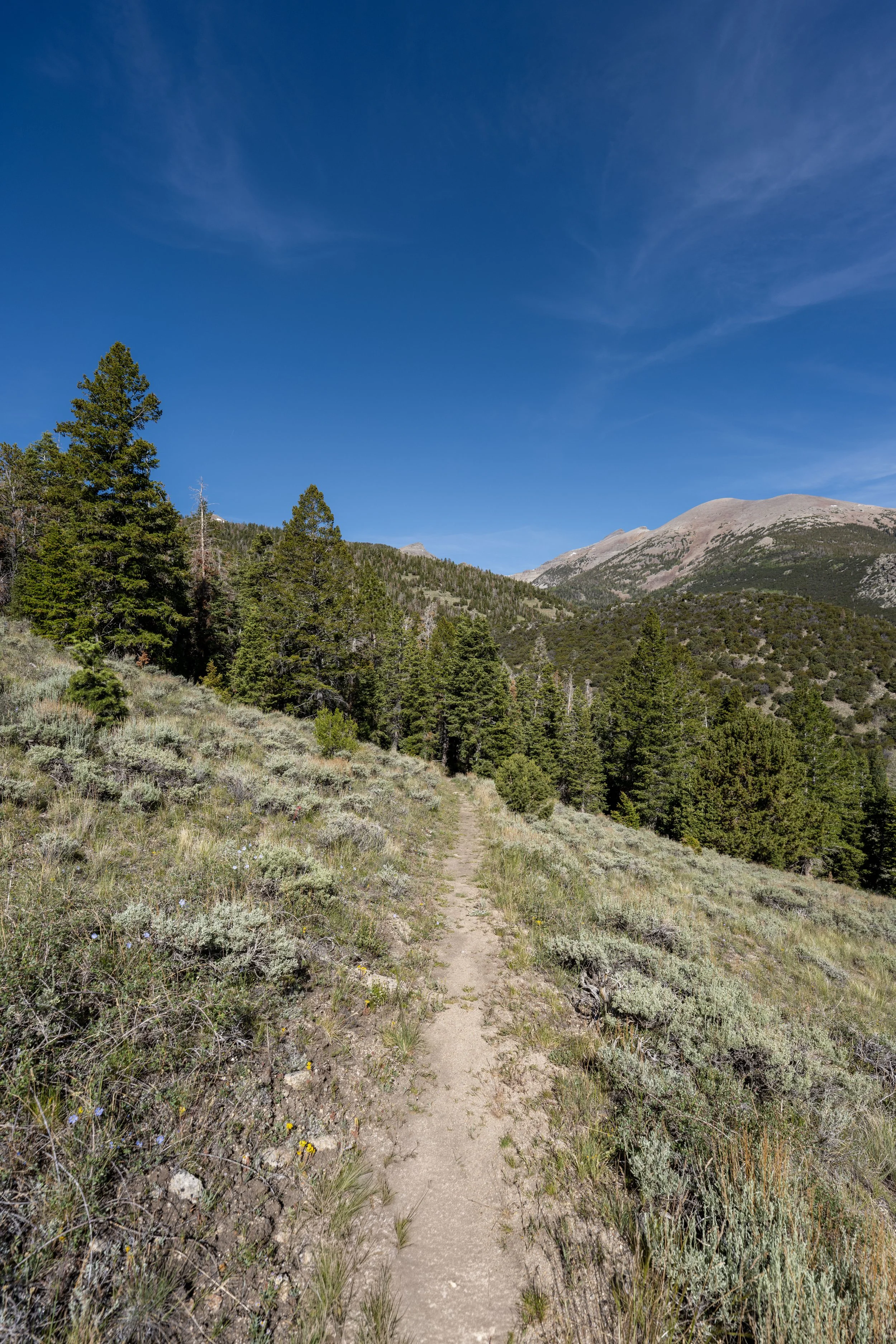
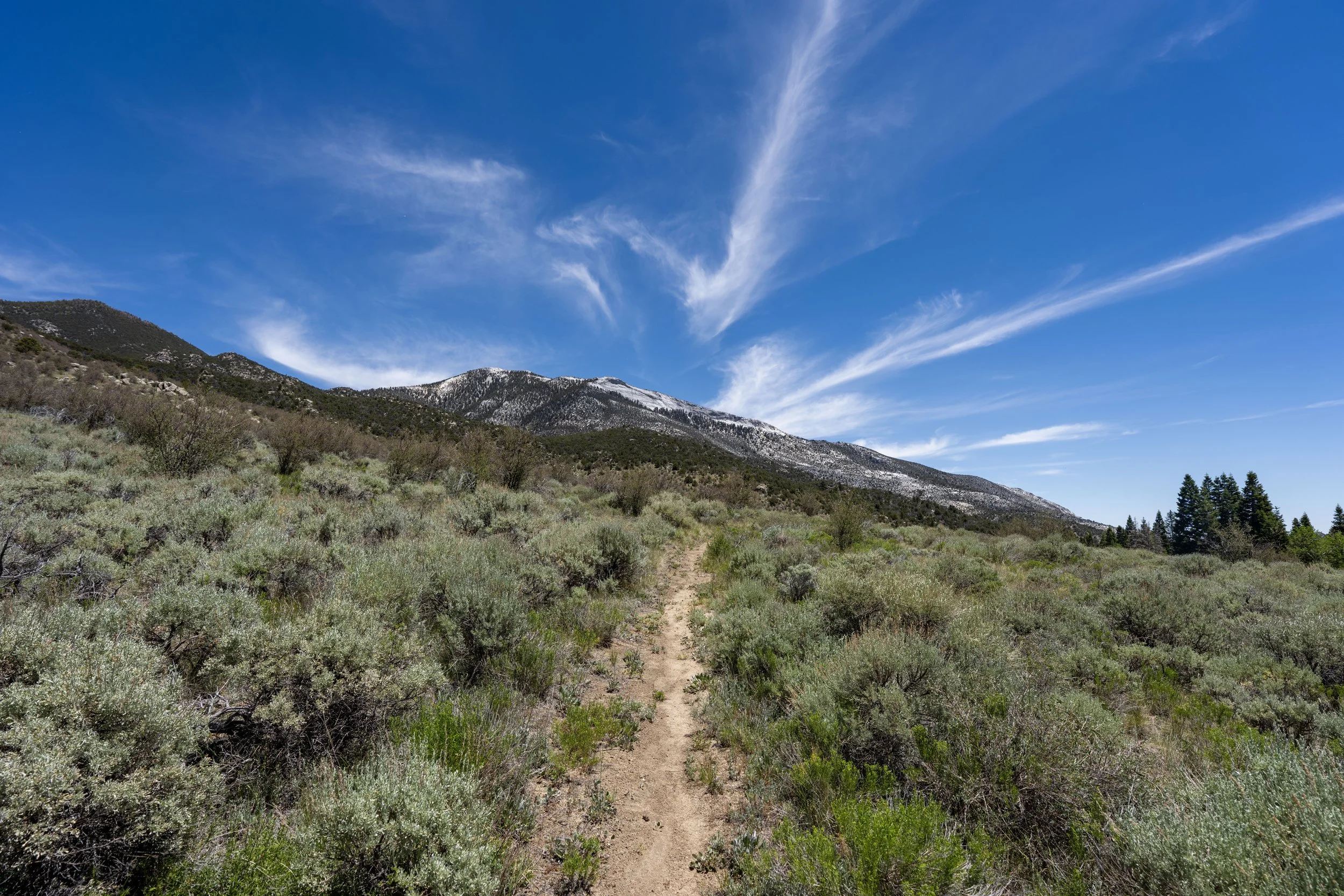
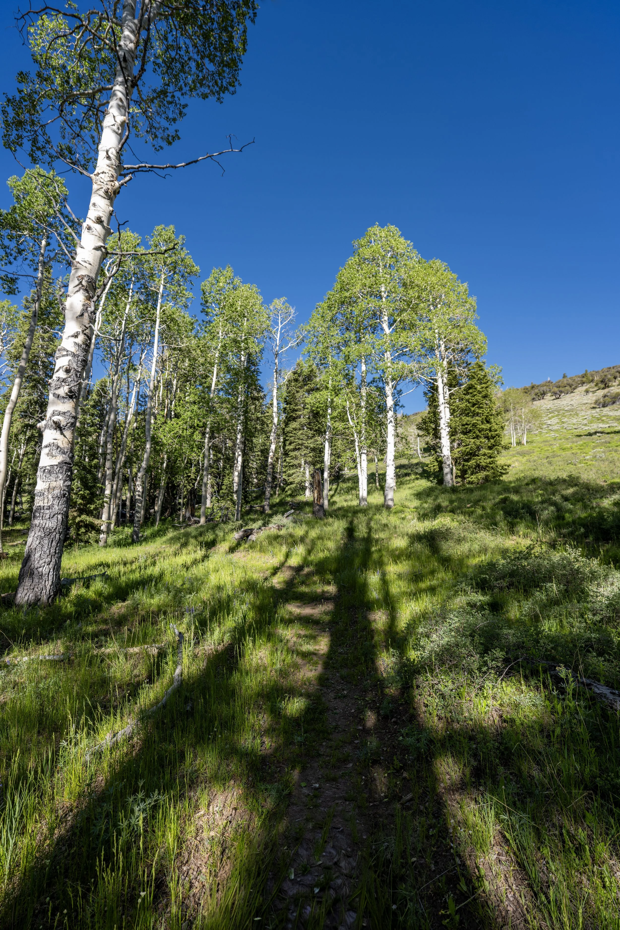
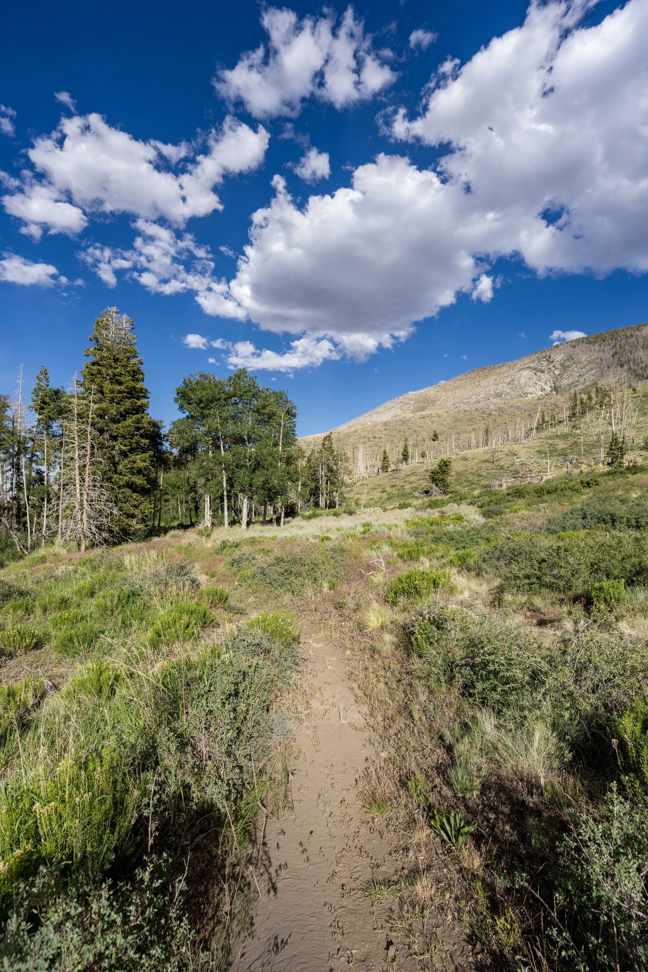
In the beginning, the Lehman Creek Trail passes through a mixed Sagebrush–Mahogany forest, but as the trail climbs higher, it transitions to a mixed Aspen–Engelmann Spruce forest.
I mention this because much of the hike can look the same, but paying attention to the landscape is a nice way to keep track of how close you are to either trailhead.
This is where the Lehman Creek Trail crosses above 8,000 ft. (2,438 m).
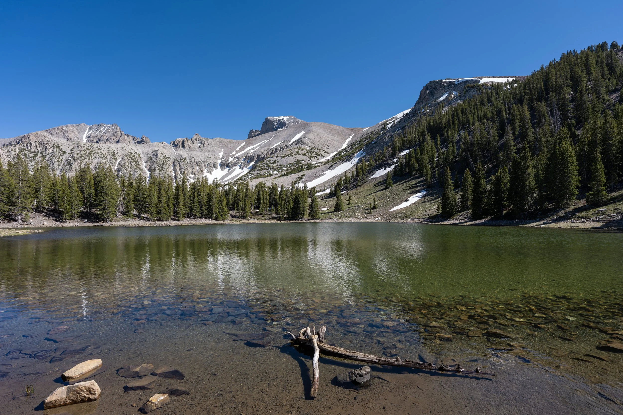
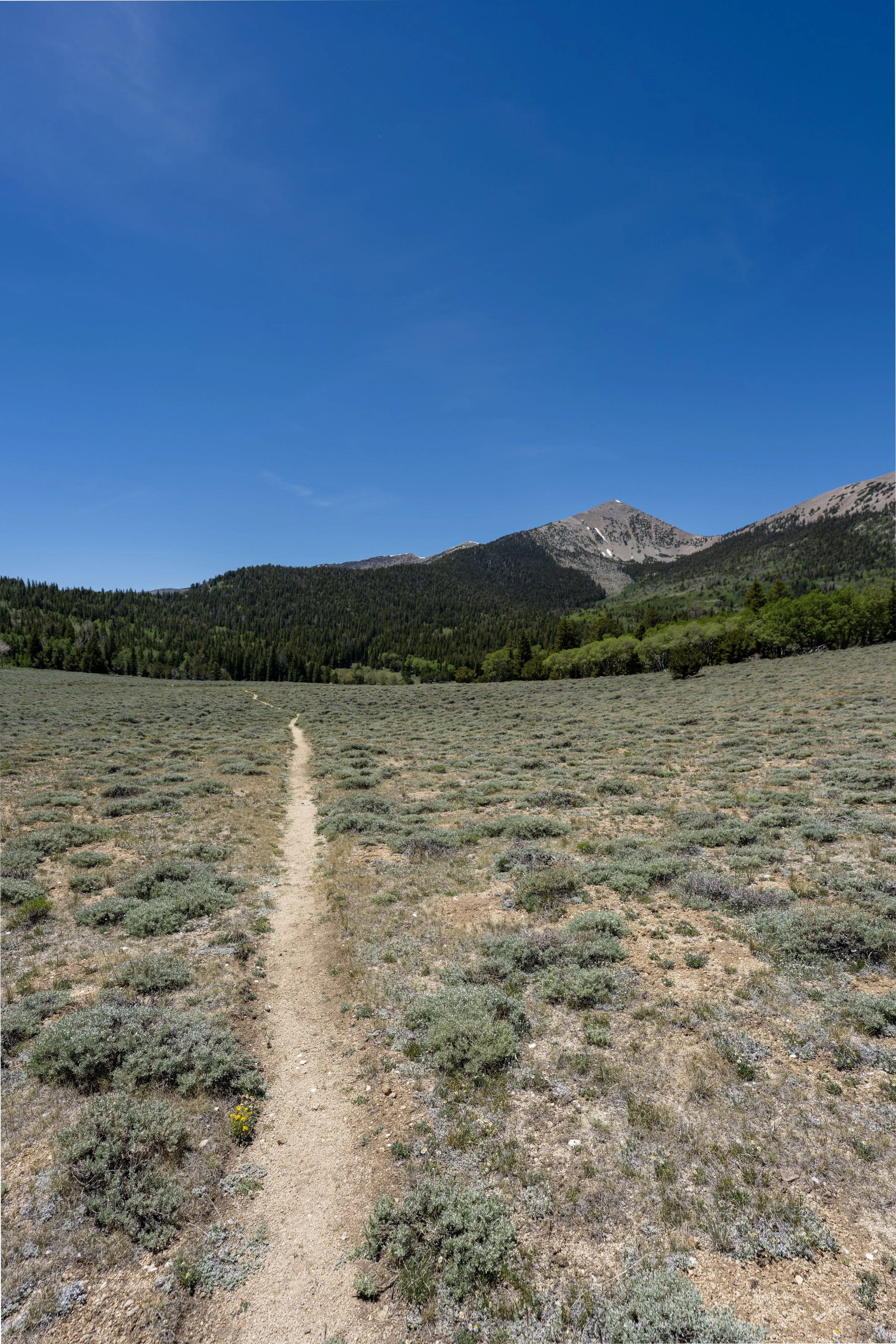
Whether you decide to hike up or down, there is one meadow with beautiful panoramic views of Wheeler Peak to look forward to!
This spot is located about 1.9 miles (3.1 km) from the Lower Lehman Creek Trailhead or 1.5 miles (2.4 km) down the trail from the Upper Trailhead.
Either way, I recommend making this meadow the destination, even if you don’t set off with the intention of hiking the full 3.4-mile (5.5 km) trail.
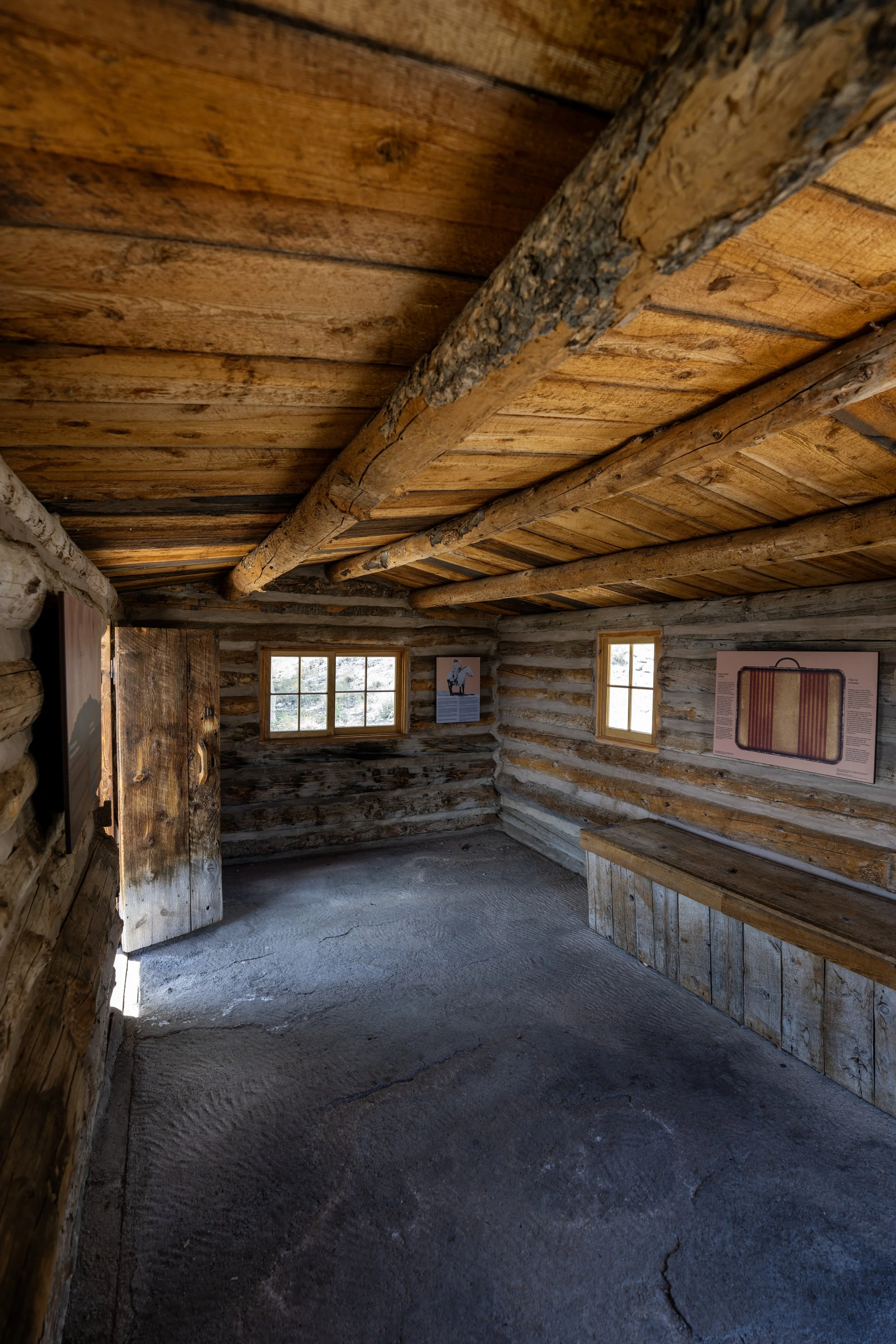
Osceola Ditch
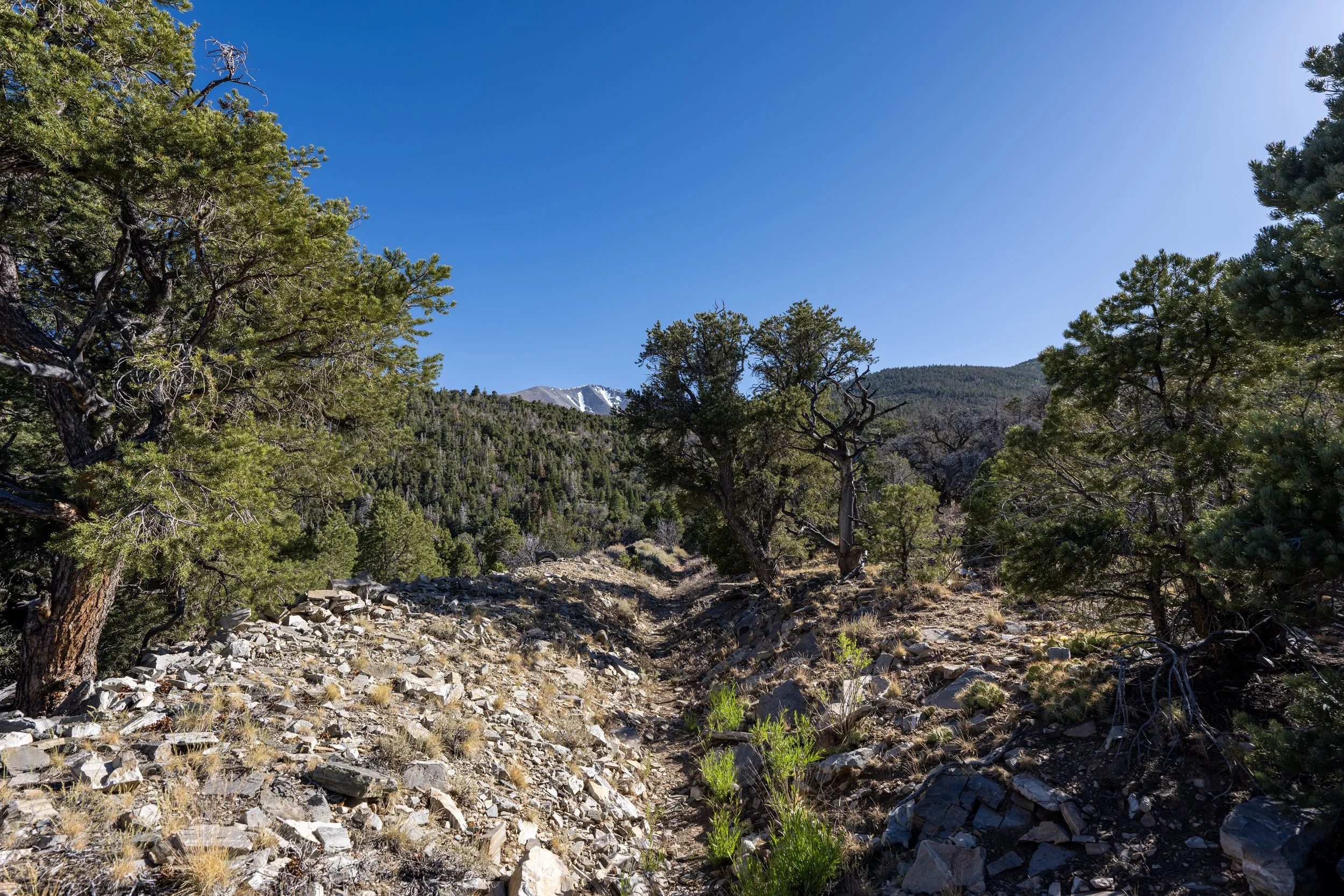
After 0.6 miles (1.0 km), the Lehman Creek Trail crosses the historic Osceola Ditch, a hand-dug, 18.0-mile (29 km) ditch that once diverted water from several streams in the northern Snake Range toward the Osceola mining district in the foothills.
The reason I’ve simply mentioned the ditch and not a trail junction is that this is not a connection with the current Osceola Ditch Trail that begins off Wheeler Peak Scenic Drive—or at least not one that is maintained today.
By this, I mean that in the early 2000s, the Osceola Ditch Trail once connected the Lehman Creek Trail with the Upper Strawberry Trail, but that is no longer the case today.
That’s not to say it is impossible to follow portions of the decommissioned trail, but the historic ditch alignment between Lehman Creek and Wheeler Peak Scenic Drive is no longer maintained by the National Park Service and hasn’t been for many years!
Read My Separate Post: Osceola Ditch Trail
After the Osceola Ditch, the Lehman Creek Trail begins more noticeably transitioning from a drier, low-elevation Mountain Mahogany forest to a mixed Aspen–Engelmann Spruce forest, as described previously.
This transition is somewhat slow, but it is a nice sign that the trail is climbing higher!
Since there is so much elevation change on the Lehman Creek Trail, some hikers may want to bring trekking poles on the long, 6.8-mile (10.9 km) roundtrip hike.
Is there Fish in Lehman Creek?
Yes, and the National Park Service encourages licensed anglers to fish in the stream, which is home to Brook Trout, Brown Trout, and Rainbow Trout!
This is where the Lehman Creek Trail passes directly beneath Mather Overlook, which, in my opinion, is one of the best places to catch the sunrise in Great Basin National Park!
This is the next hard switchback, after the first beneath Mather Overlook, and it’s a nice sign that the meadow with the best views on the entire trail is not far ahead!
This is where the Lehman Creek Trail crosses above 9,000 ft. (2,743 m).
Lehman Creek Meadow
The Lehman Creek Meadow is the beautiful, panoramic meadow mentioned previously, located roughly 1.9 miles (3.1 km) from the Lower Trailhead and 1.5 miles (2.4 km) from the Upper Trailhead.
That said, this is where I recommend turning back if time is a factor on your trip to Great Basin, as the rest of the hike to Wheeler Peak Campground is much like the forested hike up to this point.
When the Lehman Creek Trail re-enters the forest after the meadow, it remains in the trees for the rest of the hike up to Wheeler Peak Campground.
By this point, the lower-elevation Mahogany forest has largely come to an end, which is a welcome sign that most of the elevation gain on the hike up to Wheeler Peak Campground is behind you!
This is not a bridge across Lehman Creek, as the trail never crosses the creek during the entire hike.
This is the hard switchback just below Wheeler Peak Campground, about 0.5 miles (0.8 km) from the Upper Lehman Creek Trailhead.
Upper Lehman Creek Trailhead (Wheeler Peak Campground)
This is where the Lehman Creek Trail ends at the Upper Trailhead and Wheeler Peak Campground.
For those interested in hiking farther, it’s certainly easy enough to walk straight through the campground to the Bristlecone–Alpine Lakes Trailhead, just up the road. However, don’t forget about the 3.4-mile (5.5 km) hike back to the Lower Trailhead from this point!
Book Here: Wheeler Peak Campground
No information is collected by this website when using the Recreation.gov booking widget, and all reservations made here are secure through the official website.