Hiking the Osceola Ditch Trail in Great Basin National Park
Distance (RT from WPSD to SC Burn Scar): 4.4 miles / 7.1 km
The Osceola Ditch Trail in Great Basin National Park is a beautiful day hike that follows in the footsteps of a historic, hand-dug, 18.0-mile (29 km) ditch that once diverted water from several streams in the northern Snake Range toward the Osceola mining district in the foothills!
That said, the Osceola Ditch Trail only follows a small portion of the historic 18.0-mile (29 km) ditch, which has been shortened time and time again over the years from what it used to be.
By this, I mean that the Osceola Ditch Trail once connected the Lehman Creek Trail on the southern end with the Upper Strawberry Creek Trail at the northern terminus.
However, this is no longer the case today, as the section between the Lehman Creek Trail and Wheeler Peak Scenic Drive is no longer maintained and hasn’t been since the mid-2000s.
On top of this, wildfires and subsequent landslides have shortened the Osceola Ditch Trail even further, with the trail now only stretching from Wheeler Peak Scenic Drive to the Strawberry Creek Fire burn scar. According to the National Park Service, there are plans to move the Strawberry Creek Trailhead when funding becomes available and, at the same time, restore the former campground, which I have to imagine will also mean improvements to this forgotten section of the Osceola Ditch Trail.
This is all to say that the entire Osceola Ditch Trail from Lehman Creek to Strawberry Creek is certainly possible for those who are up for a very long, overgrown ~10.0-mile (16.1 km) roundtrip adventure, but this article is only about the maintained portion of the hike today, beginning at the trailhead off Wheeler Peak Scenic Drive and ending at the burn scar.
Osceola Ditch Trailhead Parking
Parking for the Osceola Ditch Trail is located in a large parking area directly off Wheeler Peak Scenic Drive, about 4.7 miles (7.6 km) up from the start of the road.
The Osceola Ditch Trailhead is located just below one of several seasonal gates on Wheeler Peak Scenic Drive, meaning it is one of the first trailheads to open when crews are still clearing snow off the road at higher elevations during the spring.
Google Maps Directions: Osceola Ditch Trailhead
Hiking Checklist - Great Basin
Here is a complete list of must-have things that you will want for any hike in Great Basin National Park.
Hiking the Osceola Ditch Trail
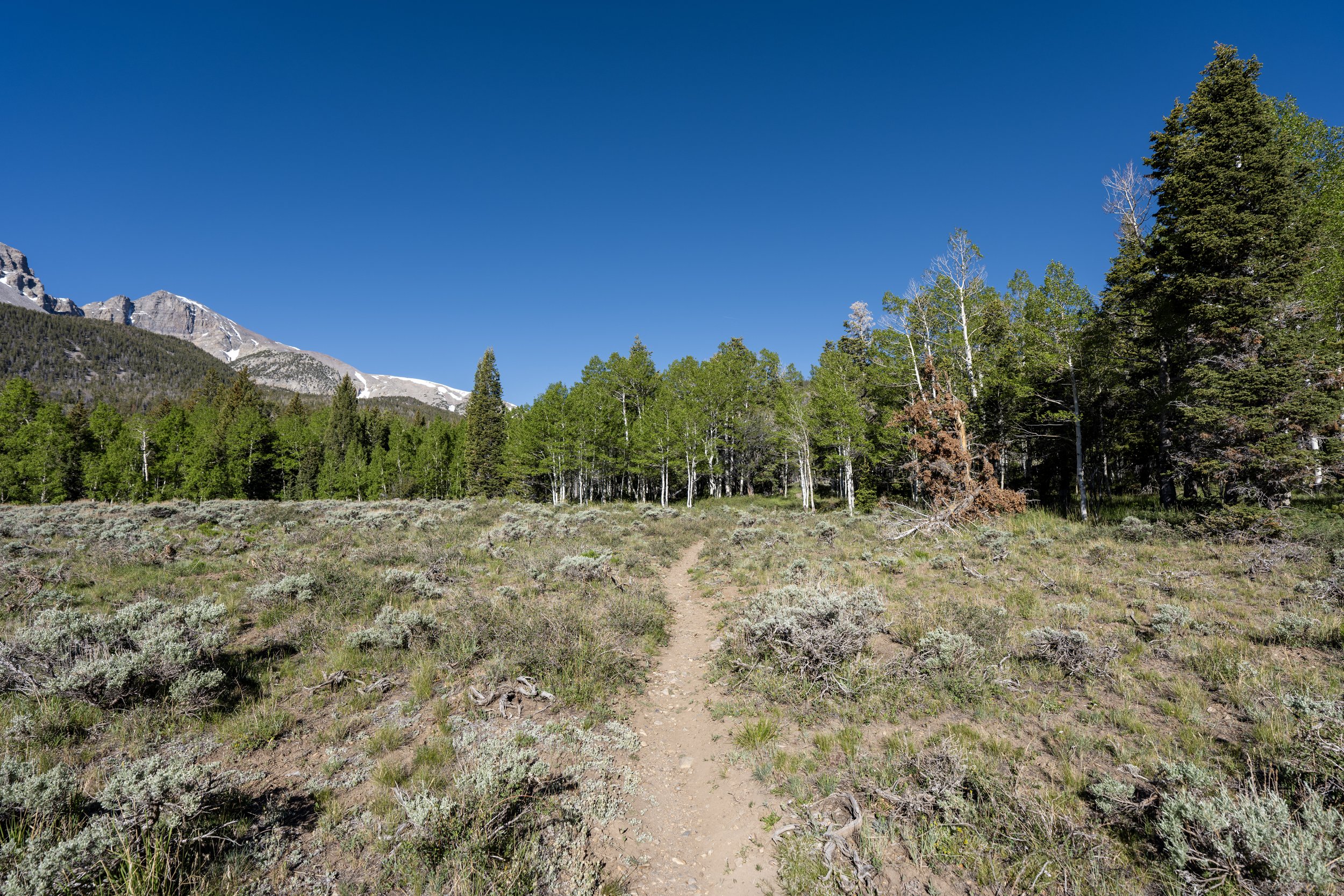
The Osceola Ditch Trail begins by descending a short hill toward the start of the historic ditch, located about 0.3 miles (0.5 km) from the trailhead on Wheeler Peak Scenic Drive.
This first 0.3-mile (0.5 km) stretch to the start of the historic Osceola Ditch is the part of the trail that the vast majority of visitors hike.
I mention this because far fewer people who set off on the trail continue past the initial views when time is a factor on a visit to Great Basin.
This sharp left turn is a nice sign that the Osceola Ditch is just around the corner!
Osceola Ditch
After 0.3 miles (0.5 km), the trail reaches the start of the Osceola Ditch—or, at least, the start of the ditch along this section of the trail.
That said, the historic 18.0-mile (29 km) ditch actually begins at Lehman Creek, near the sign on the Lehman Creek Trail, located only 0.6 miles (1.0 km) from the Lower Lehman Creek Trailhead!
At this point, the vast majority of visitors who stop to learn about the ditch and hike a short distance to see it turn back toward the road.
When the Osceola Ditch Trail turns to the north, it begins following what can clearly be seen as the historic channel that once diverted water from Lehman Creek.
For those who may be familiar, the Osceola Ditch Trail bears a striking resemblance to the Wellington Ditch Trail in Great Sand Dunes National Park.
I say this because, just as the Osceola Ditch Trail follows a historic, hand-dug irrigation ditch along the foothills of the Snake Range, the Wellington Ditch Trail follows a similar ditch along the foothills of the Sangre de Cristo Range!
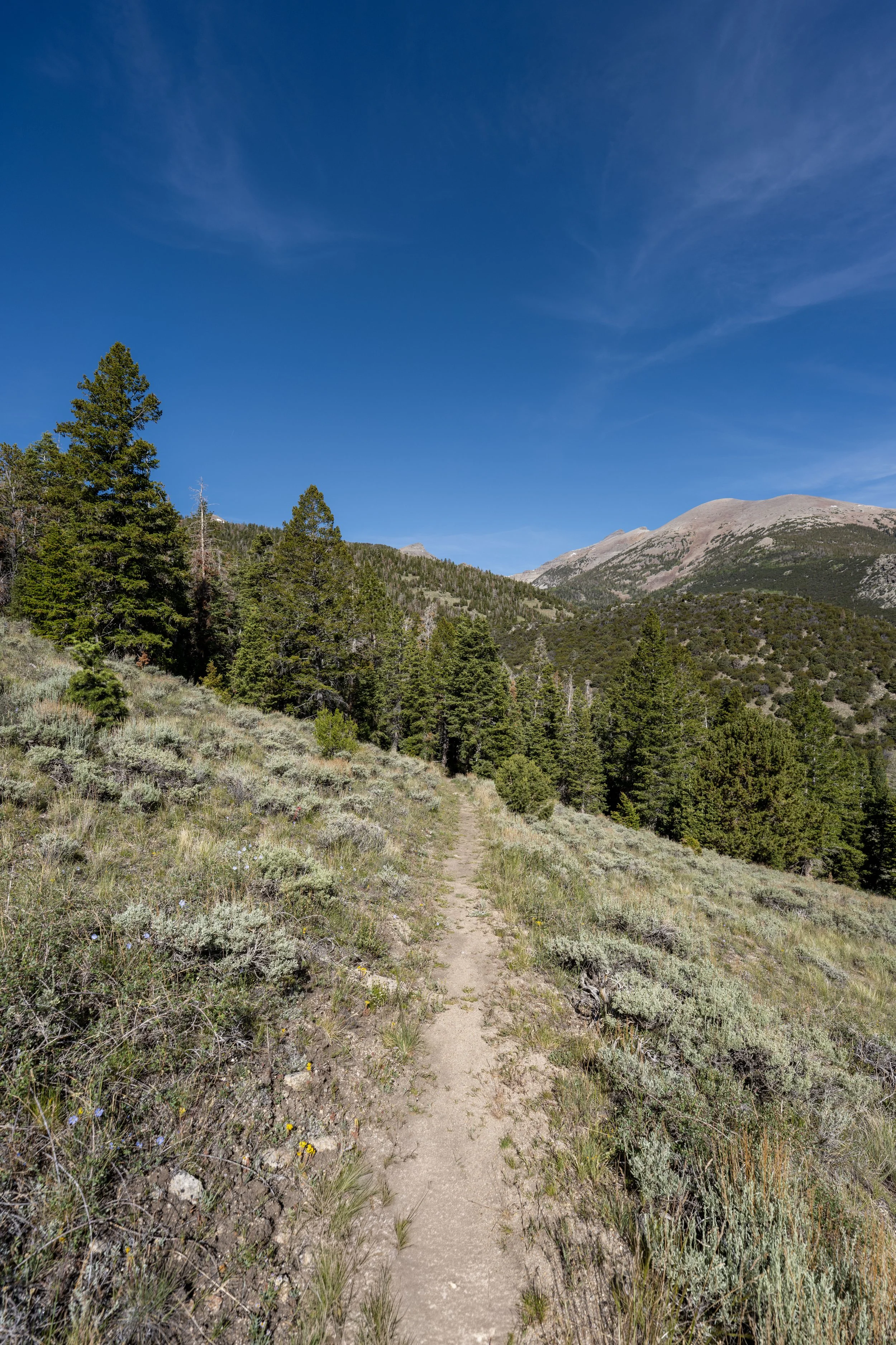
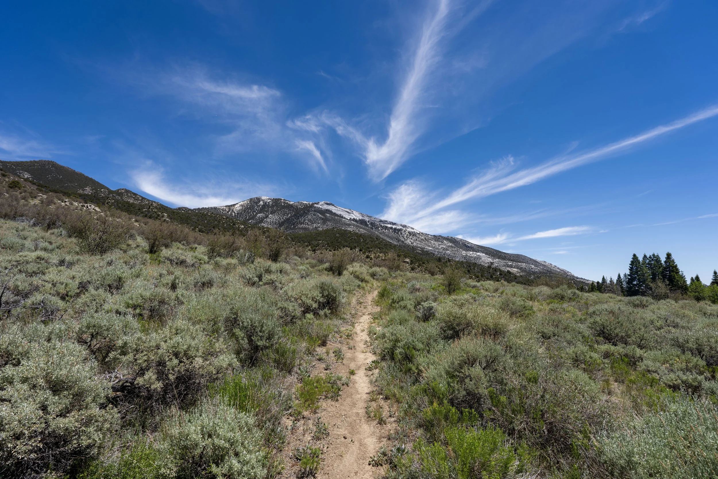
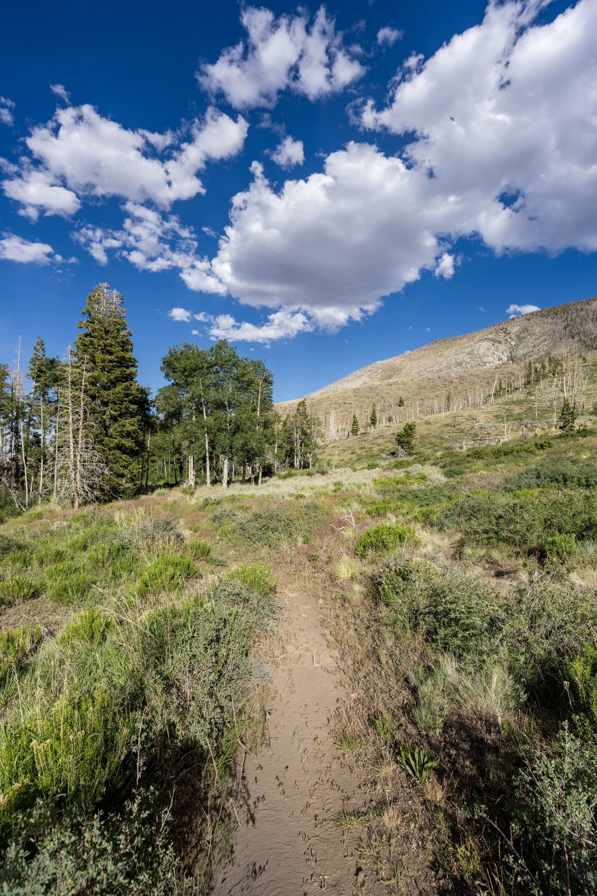
If these photos show anything, I hope it’s that the low-elevation Juniper–Piñon Pine forest across the foothills of the Snake Range is not the best at providing shade—especially first thing in the morning to midday, when the Osceola Ditch Trail receives the most direct sunlight.
That said, I strongly recommend hiking in a hooded sun shirt, especially considering that the vast majority of the hike is above 8,000 ft. (2,438 m) before the descent to Strawberry Creek.
Pinus monophylla, more commonly known as Piñon Pines, is beloved in Great Basin and across the Mountain West because this drought-tolerant evergreen produces some of the largest edible pine nuts in North America, though you have to be hiking at the right time of year to enjoy them!
This is where the Osceola Ditch Trail turns sharply to the west and begins heading directly toward Mill Creek.
Mill Creek
After about 1.5 miles (2.4 km), the Osceola Ditch Trail crosses Mill Creek, the most notable mental checkpoint prior to the descent to Strawberry Creek on the northern end.
For many, Mill Creek is often seen as the turnaround point on the Osceola Ditch Trail, as the National Park Service had, for a long time, told park visitors that this was as far as the trail had been maintained following the 2016 Strawberry Creek Fire.
However, that’s not the case today, as visitors can easily hike farther to the start of the burn scar, which is what the rest of this article shows.
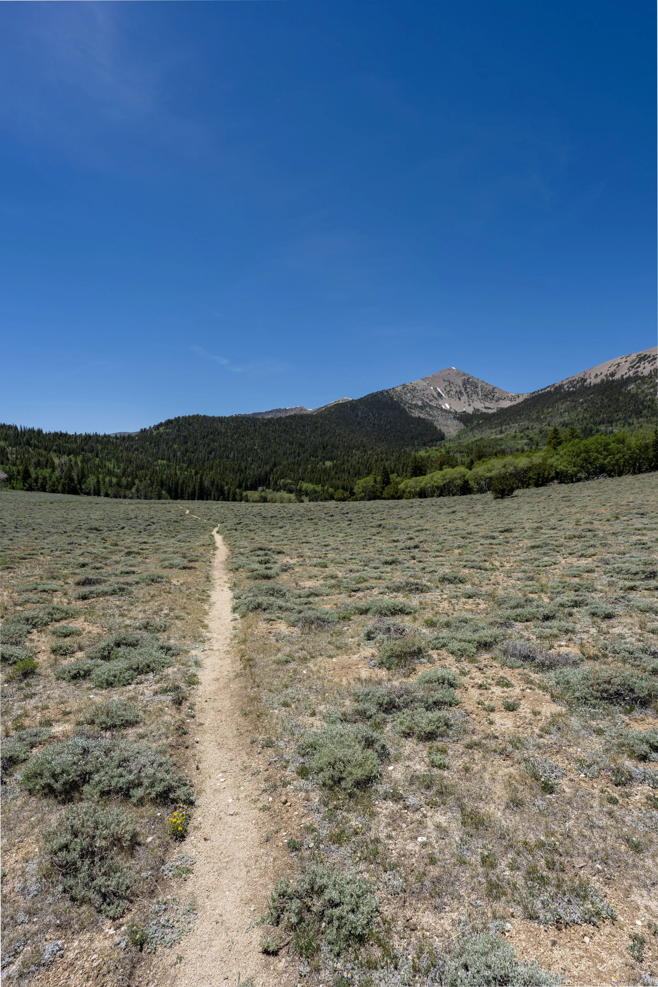
After Mill Creek, the Osceola Ditch Trail looks much like the trail up to this point and doesn’t noticeably change until the trail reaches the start of the burn scar.
In my opinion, the Osceola Ditch Trail is one of the best places to trail run in Great Basin National Park, largely because the elevation changes are so mild!
If trail running is something you’re considering, I recommend using the shoes I have linked below, as they work well for both hiking and trail running on all the best adventures across Great Basin.
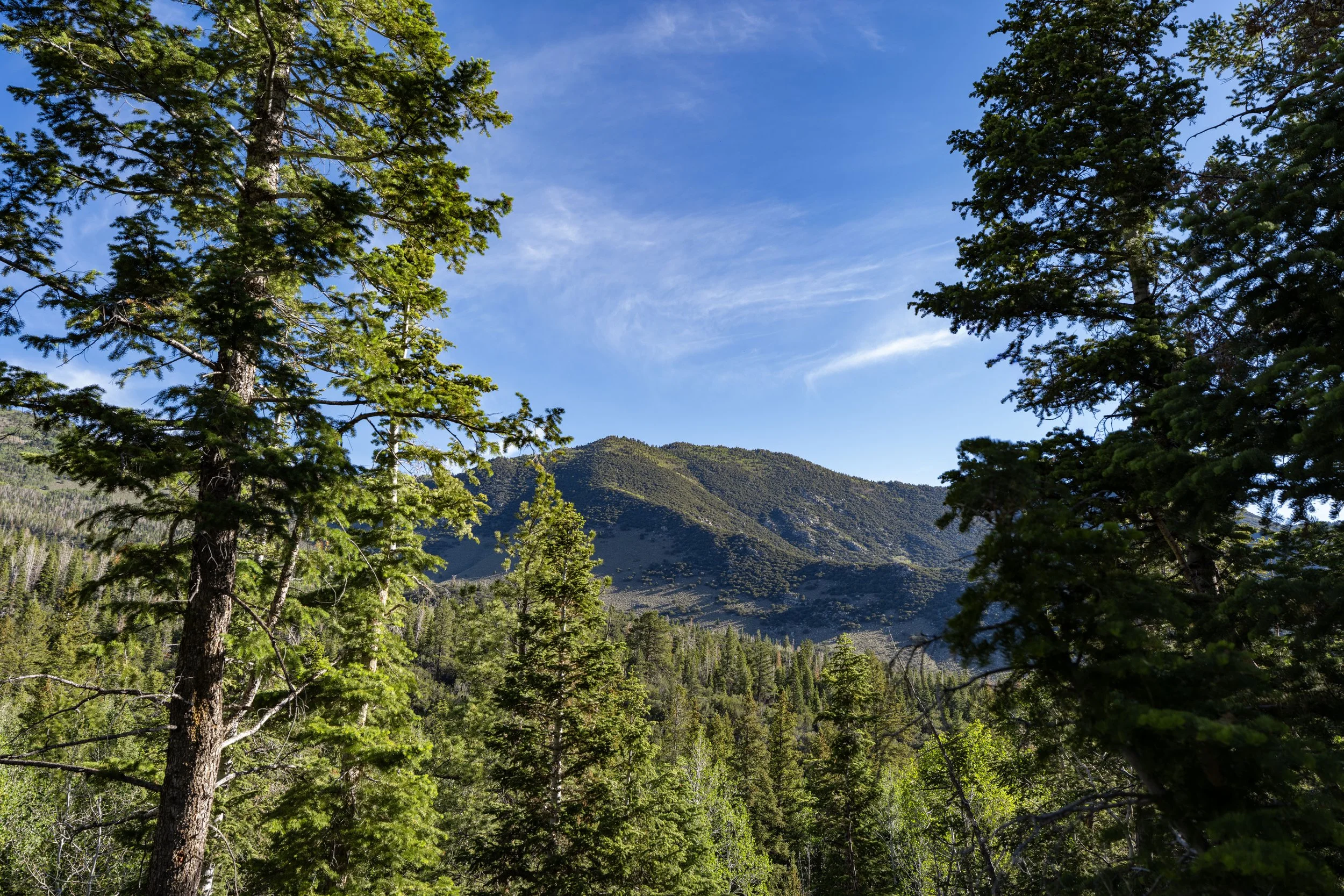
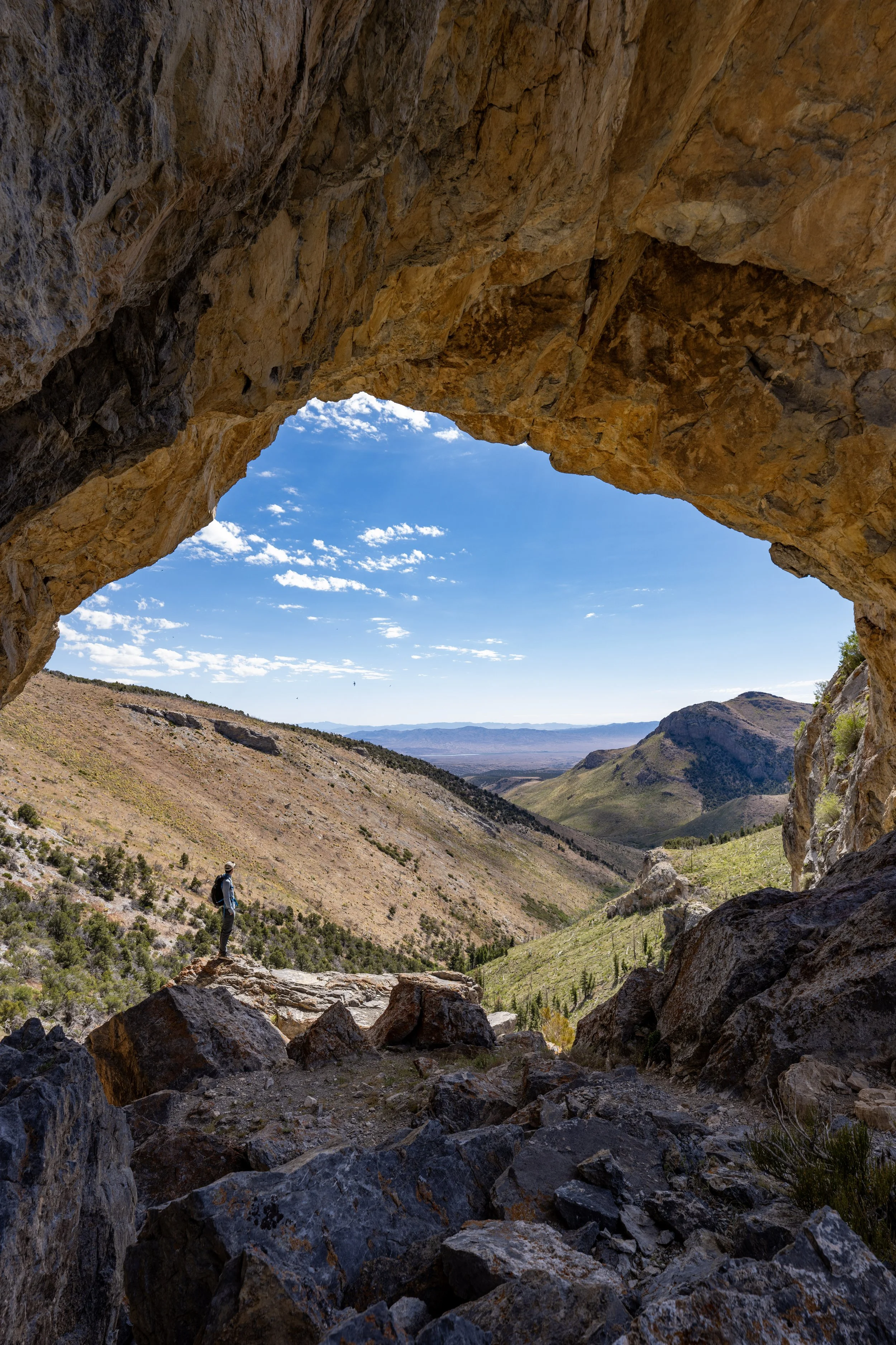
These views looking out toward the desert are what truly make the Snake Range feel like an "Island in the Sky!"
I say this because the difference in landscape is drastic over very short distances in Great Basin National Park, which is something that cannot be seen when hiking the Sky Forest Trail, located off the Alpine Lakes Loop Trail at the top of the road.
2016 Strawberry Creek Fire Burn Scar
This is where the Osceola Ditch Trail first reaches the burn scar from the 2016 Strawberry Creek Fire, roughly 2.2 miles (3.5 km) from the trailhead off Wheeler Peak Scenic Drive.
After entering the burn scar, I didn’t hike for long because, honestly, it wasn’t worth the effort!
This is the point where the Osceola Ditch Trail makes a hard left turn, just before beginning the descent to the Strawberry Creek Trail below.
That said, I turned back here because I could not justify continuing farther, which is something I don’t often say!
I’m not usually the type of person to turn back early, but it was at this point that the trail started to become more overgrown—and knowing that there’s always the possibility of encountering a Great Basin Rattlesnake, I didn’t think the rest of the trail was worth hiking because you can’t always see where you’re stepping next.
If the National Park Service ever reopens the rest of trail, I know I’ll be back to finish the hike to Strawberry Creek someday!
Read My Separate Post: Upper Strawberry Trail