Hiking the Glacier Trail in Great Basin National Park
Distance (One Way to Exposed Glacier): 2.5 miles / 4.0 km
The Glacier Trail in Great Basin National Park is a fun and rewarding day hike that winds its way past the ancient Bristlecone grove beneath Wheeler Peak, eventually reaching the only glacier in the state of Nevada!
Yes, the Wheeler Peak Glacier is Nevada’s only active glacier, which is one of several reasons I believe the Glacier Trail is one of the best things to do in Great Basin National Park!
That said, the Glacier Trail can be thought of as having two parts. First, there is the Wheeler Peak Rock Glacier, which encompasses the vast majority of the hike beyond the Bristlecone Loop, and above that is the exposed Wheeler Peak Glacier.
I break it down this way because the maintained trail does not continue all the way to the exposed glacier. This means that, in order to reach the best and most beautiful part of the entire hike, good off-trail hiking and scrambling skills are needed to safely reach the end of the glacial cirque.
For this reason, I highly recommend reading this post in detail, as there is one straightforward route to follow in order to make it to the end with the least amount of effort!
Glacier Trailhead Parking
Parking for the Glacier Trail is located at the very end of Wheeler Peak Scenic Drive, in the same parking area that serves the Alpine Lakes Loop Trail, the Bristlecone Trail, the Sky Island Forest Trail, and the alternate route up Wheeler Peak.
That said, the Bristlecone–Alpine Lakes Trailhead is the most popular trailhead in Great Basin National Park, though using the word 'popular' does not mean the same thing here as it does in countless other parks, such as all the different trailheads off the Yosemite Valley Loop Trail in Yosemite National Park.
Google Maps Directions: Glacier Trailhead
Hiking Checklist - Great Basin
Here is a complete list of must-have things that you will want for any hike in Great Basin National Park.
Hiking the Glacier Trail
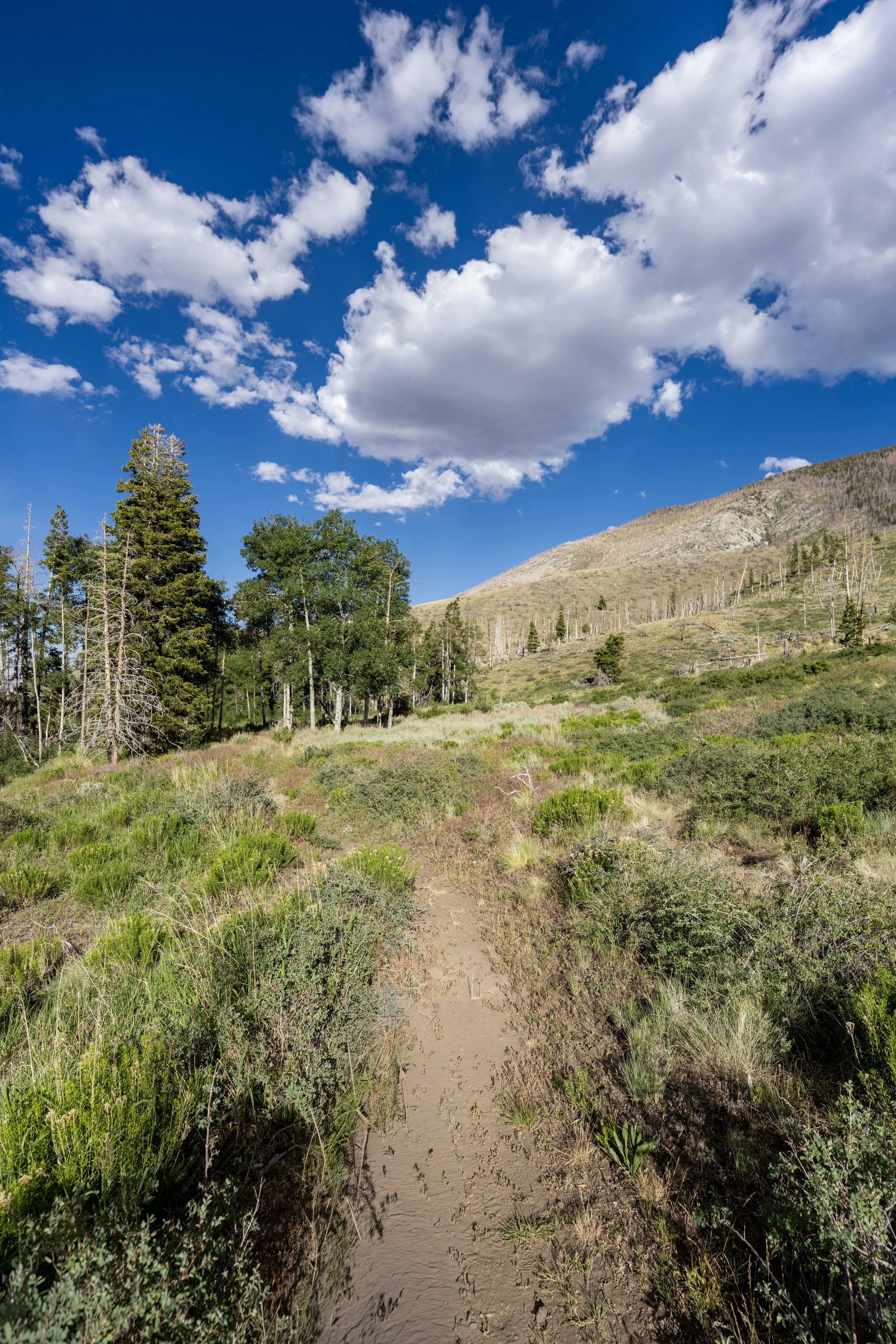
The Glacier Trail begins at the same trailhead as the Alpine Lakes Loop Trail and follows the same path for roughly 0.6 miles (1.0 km), at which point the two trails split just before Teresa Lake.
To skip ahead to the start of the Bristlecone Pine Loop Trail, click here.
Glacier-Sky Island Forest Junction
After just a few steps, the Glacier Trail passes the junction for the Sky Island Forest Trail.
Once here, go right to continue on the Alpine Lakes Trail toward the start of the loop. However, I recommend keeping the Island Forest Trail in mind for the hike back, as it’s such a quick adventure to add to an already fairly short day hike up to the Wheeler Peak Glacier.
Read My Separate Post: Sky Island Forest Trail
Alpine Lakes Loop Trail
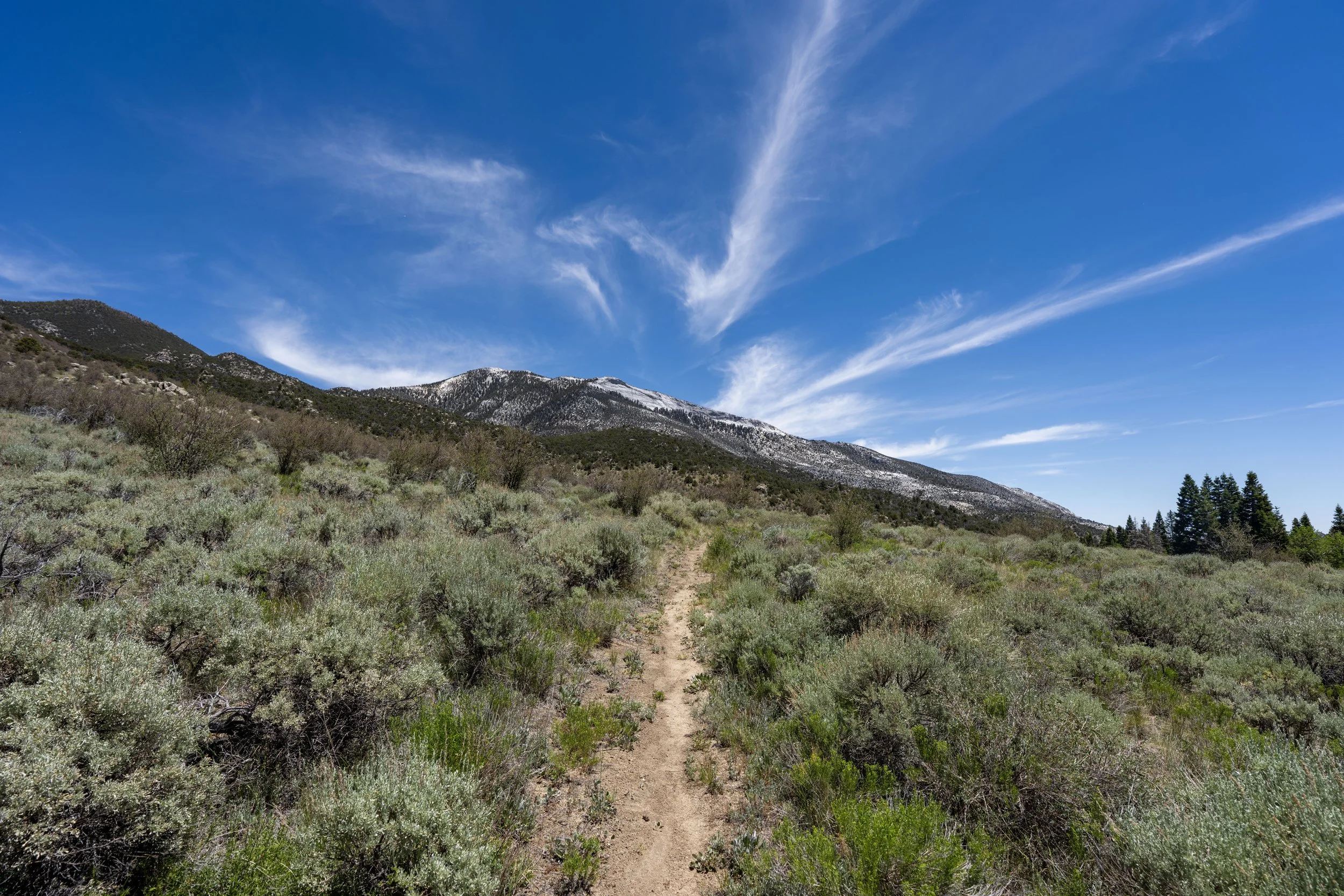
After just 0.1 miles (0.2 km), the Glacier Trail reaches the start of the 2.5-mile (4.0 km) Alpine Lakes Loop that leads to both Stella and Teresa Lake, with Stella Lake being closer if you go right and Teresa Lake being closer if you go left.
With that in mind, go left at this junction to continue on the shortest and fastest route to the start of the true Bristlecone Pine Trail and Glacier Trail beyond, about 0.5 miles (0.8 km) away from this split.
Read My Separate Post: Alpine Lakes Loop Trail
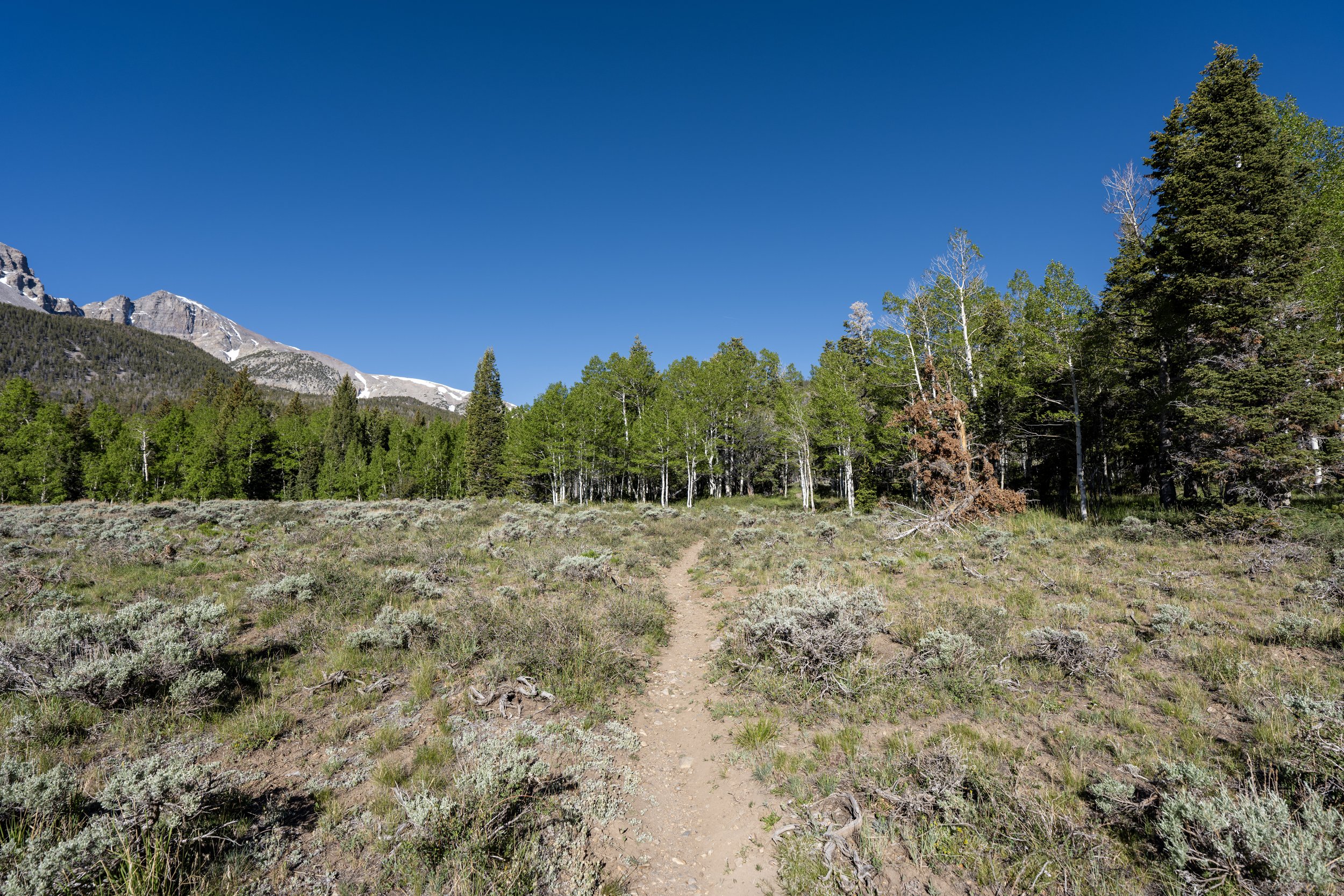
After turning left at the beginning of the Alpine Lakes Loop, the trail gradually winds its way uphill to the Bristlecone junction, about 0.1 miles (0.2 km) before Teresa Lake.
Since the vast majority of the Glacier Trail is above 10,000 ft. (3,048 m), I highly recommend hiking in a hooded sun shirt, as it’s much easier to burn at these upper elevations—especially considering that Great Basin is typically very sunny in the summer!
Glacier-Alpine Lakes Loop Junction
After 0.6 miles (1.0 km), the Alpine Lakes Loop Trail finally reaches the start of the true Bristlecone Trail.
Once here, go left to leave the popular loop and begin hiking toward the start of the Bristlecone Interpretive Loop, roughly 0.7 miles (1.1 km) away from this point.
Read My Separate Post: Alpine Lakes Loop Trail
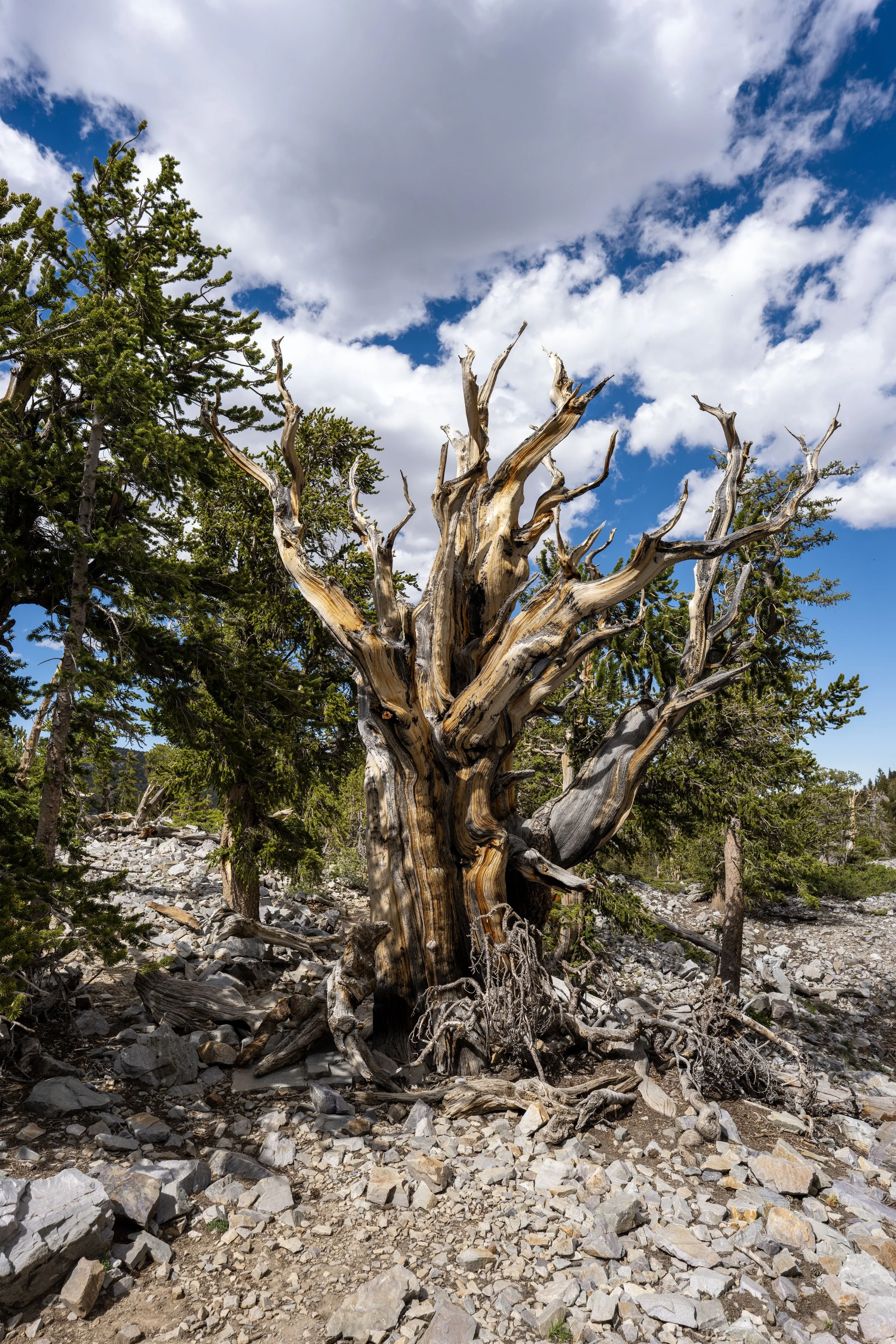
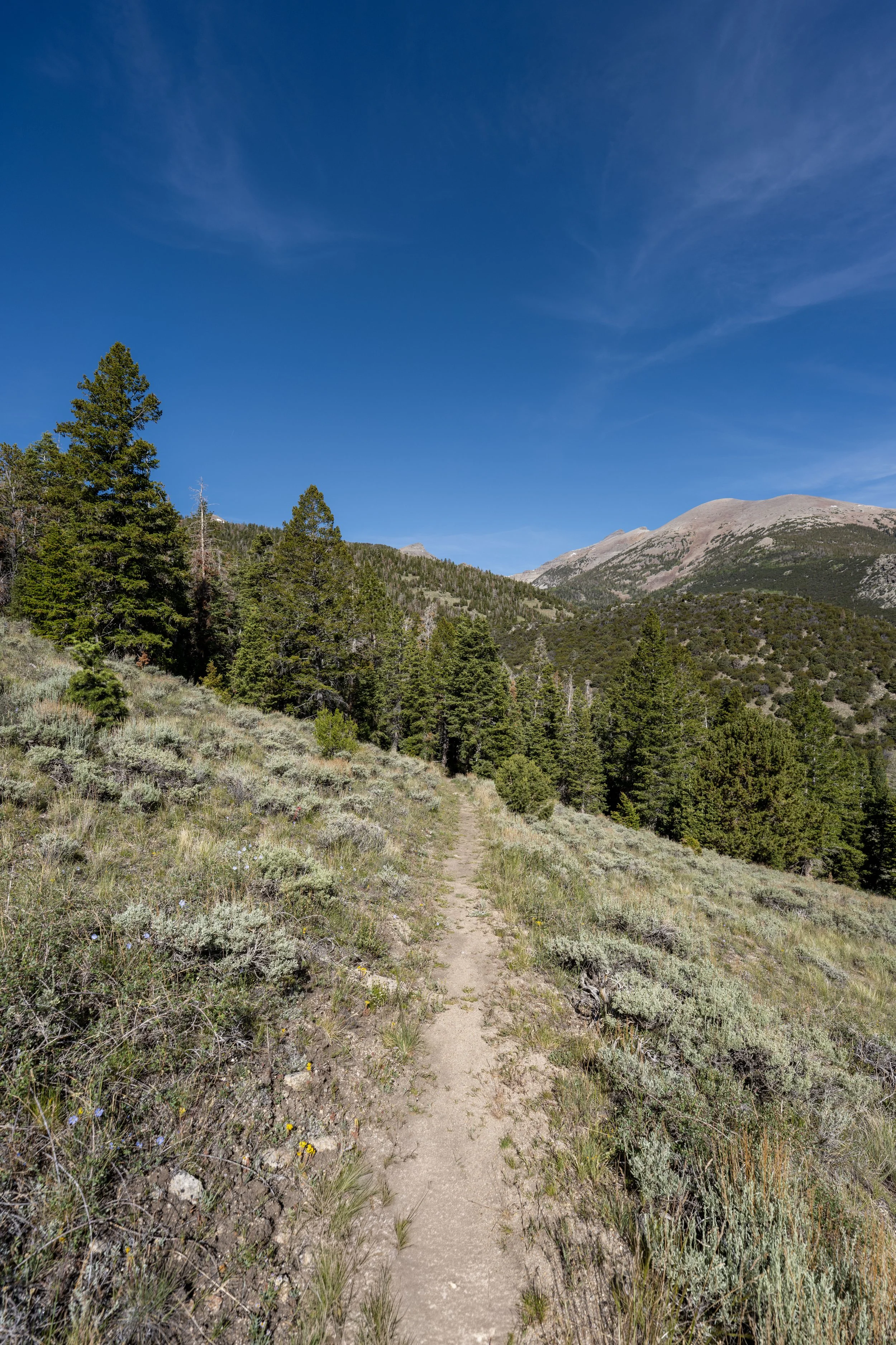
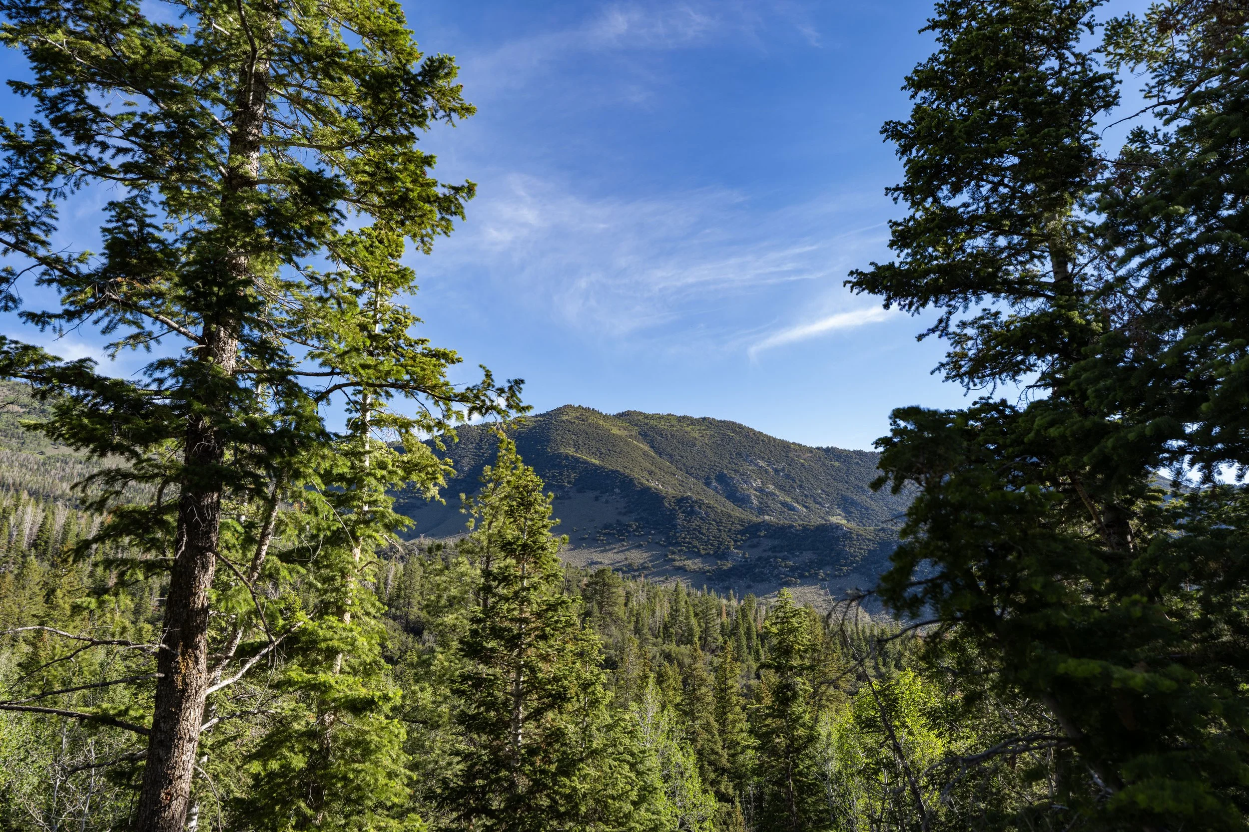
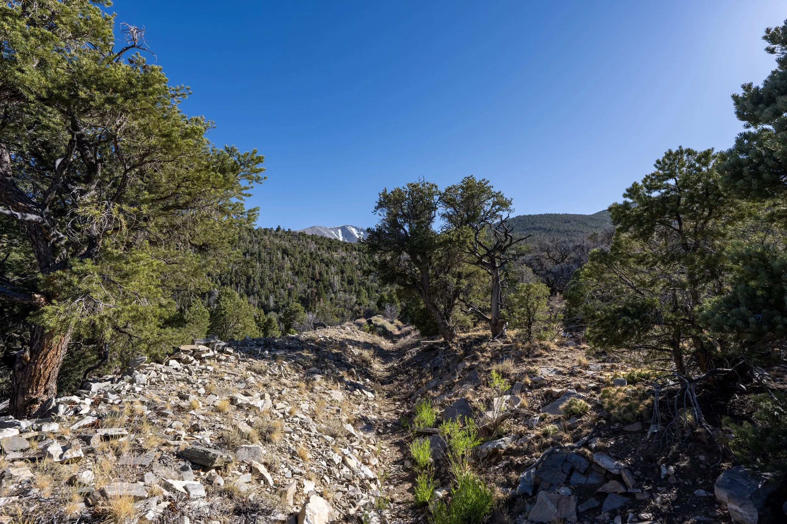
After turning left to begin the Bristlecone Trail, the hike simply parallels the prominent northeast ridge that extends off Wheeler Peak, the same ridge that can be seen from the Wheeler Peak Summit Trail with all the ancient Bristlecone Pines.
This section along the base of the northeast ridge climbs gradually, but it is nowhere near as steep as countless other day hikes in Great Basin, such as the Baker Lake Trail or the Snake Divide Trail farther south.
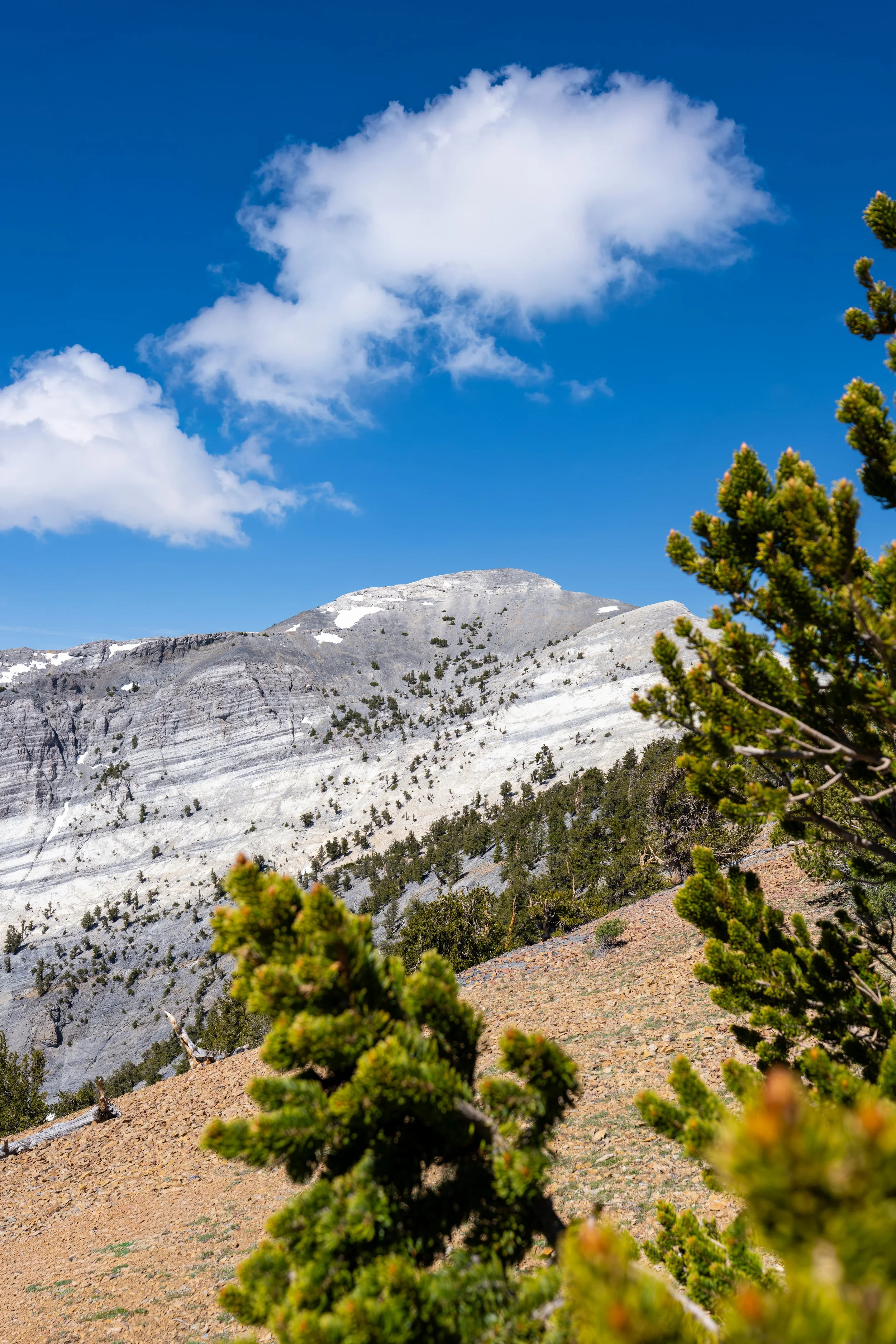
This is where the Bristlecone Trail makes a hard right turn into the glacial valley carved by the Wheeler Peak Glacier.
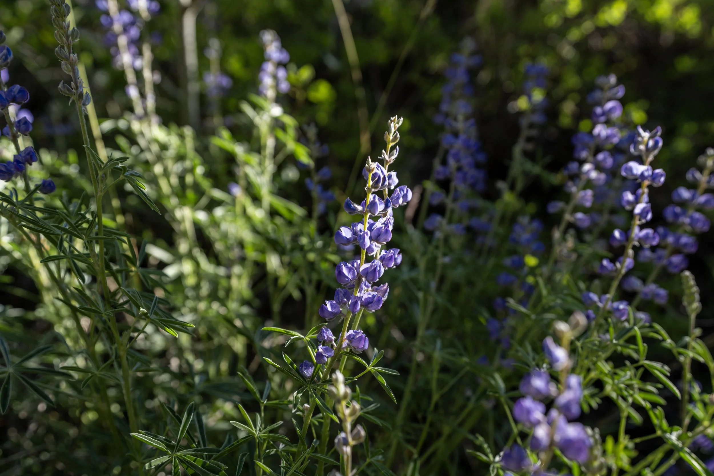
It doesn’t take long after turning up the glacial valley for Bristlecone Pines to start dominating the landscape, which only increase the higher both the Bristlecone Trail and the Glacier Trail climb!
This hard switchback is a nice sign that the start of the Bristlecone Interpretive Loop Trail is not far ahead!
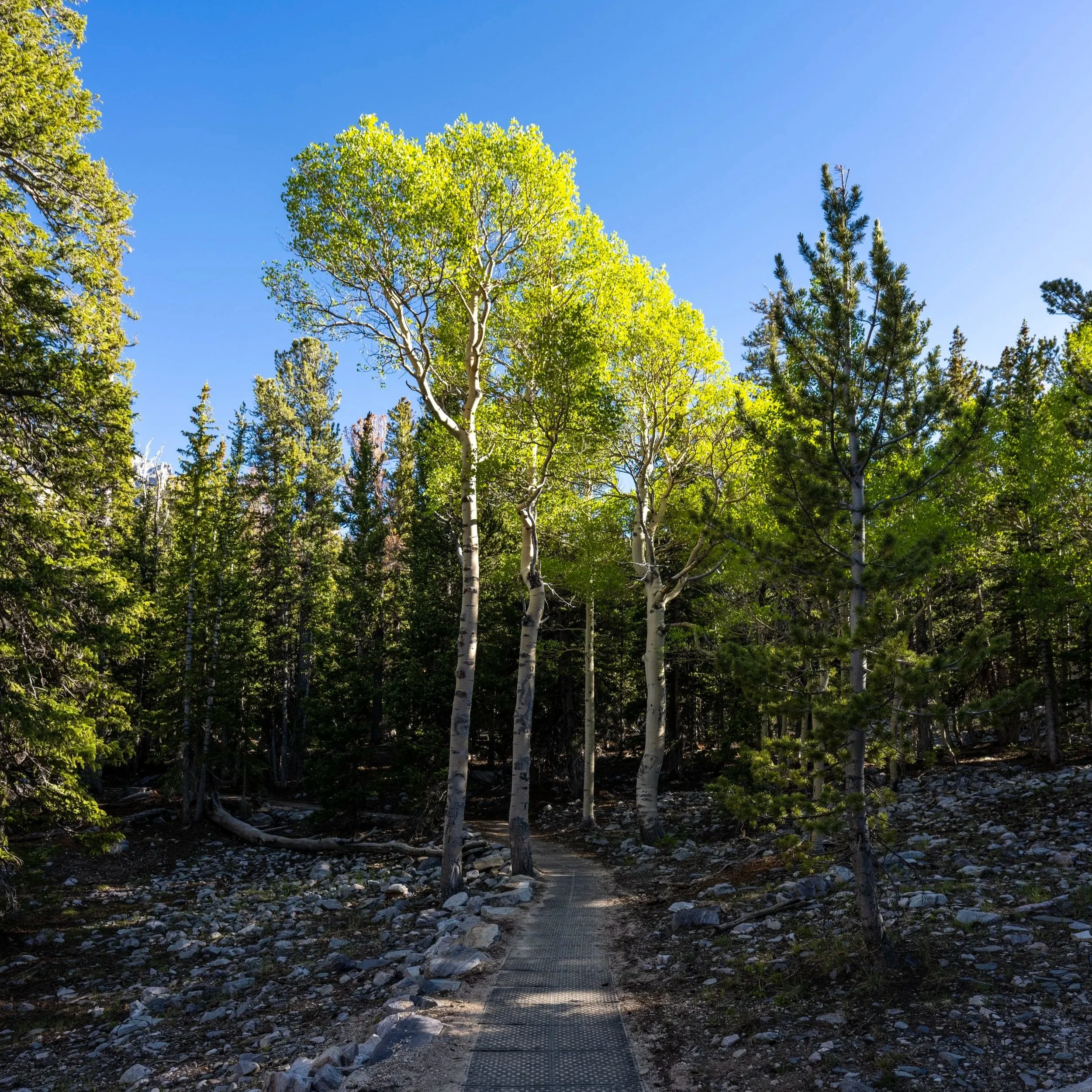
Bristlecone Pine Loop Trail
This is where the Bristlecone Trail reaches the start of the Bristlecone Pine Interpretive Loop Trail, often simplified to the Bristlecone Loop Trail.
That said, the fastest way to the Glacier Trail is to go straight at this junction. However, whether hiking up or down, I highly recommend taking some time to walk the very short Bristlecone Loop, as there is truly so much to learn about what makes these ancient trees so special!
Read My Separate Post: Bristlecone Trail
Glacier-Bristlecone Pine Loop Junction
This is the upper end of the Bristlecone Pine Interpretive Loop, where the Glacier Trail officially begins and continues higher up the glacial valley.
Once here, go right to continue hiking toward both the rock glacier and the exposed glacier beyond.
Read My Separate Post: Bristlecone Trail
After leaving the Bristlecone Loop behind, there is only 0.4 miles (0.6 km) between the end of the loop and the start of the Wheeler Peak Rock Glacier.
This is why, even if you don’t plan to hike all the way to the end of the glacial cirque, continuing past the loop is worth the effort to see Nevada’s only glacier!
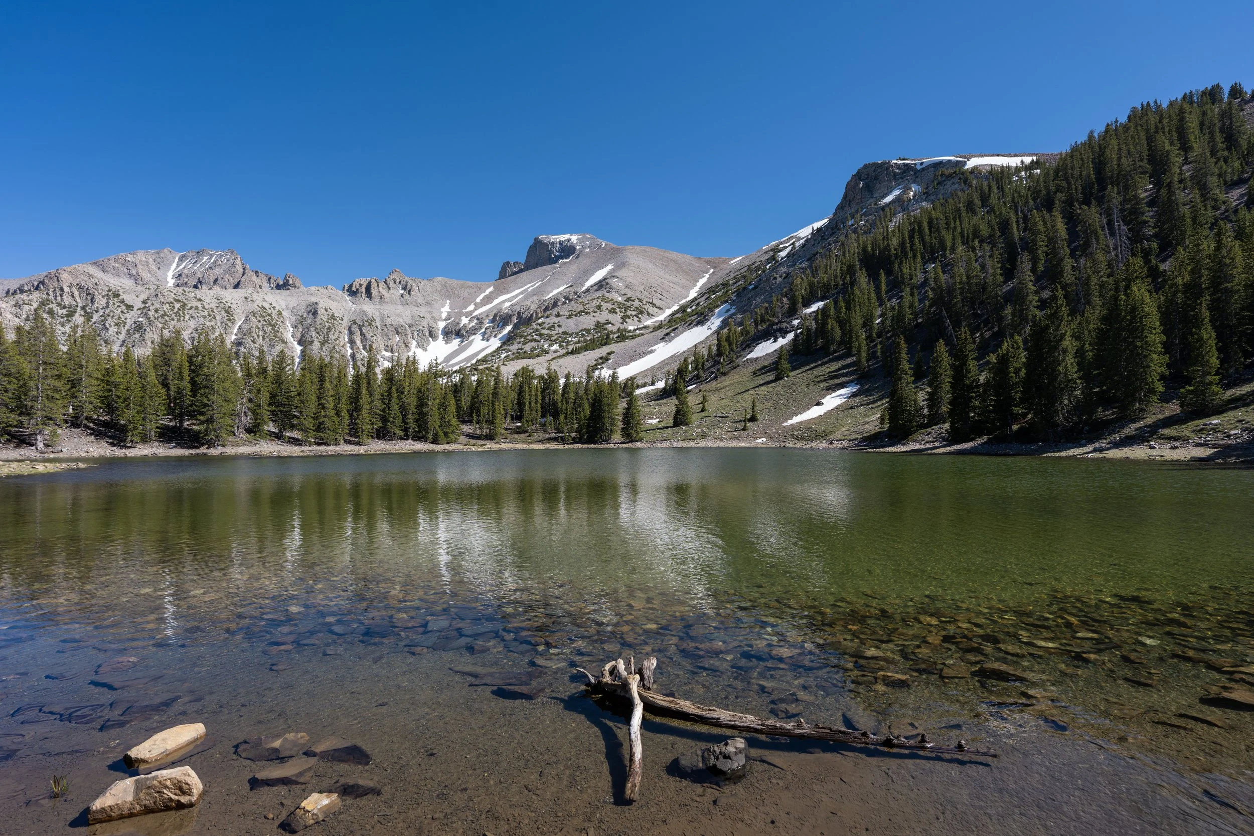
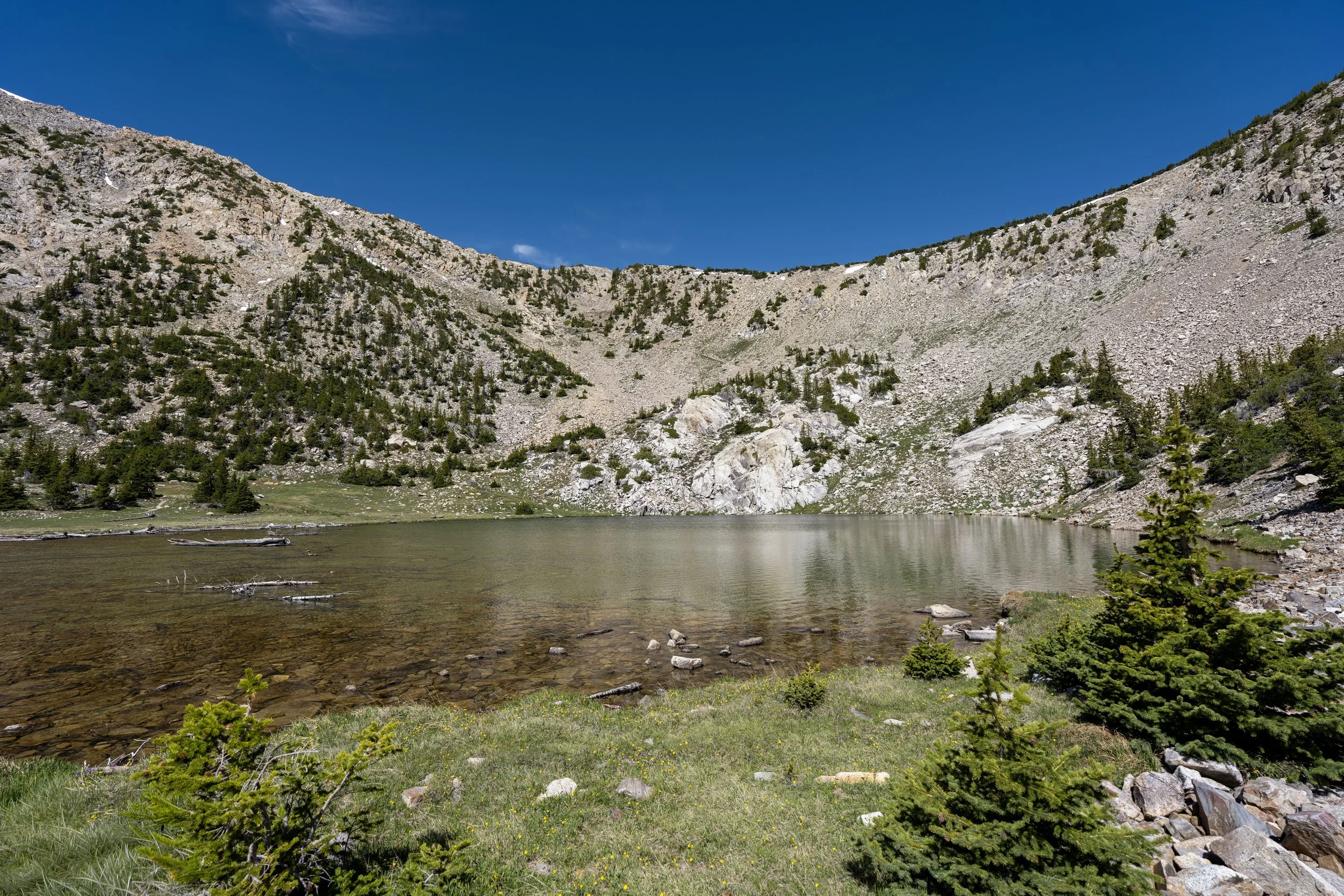
Wheeler Peak Rock Glacier
This is the beginning of the Wheeler Peak Rock Glacier, and it’s the point where the vast majority of hikers turn around.
Is it Worth Hiking on the Wheeler Peak Rock Glacier?
I think it depends on who you ask.
I have heard people say that the views don’t change past this point, so it’s not worth hiking farther, but if you ask me, the opportunity to hike on a rock glacier doesn’t come often, so I’m biased and would say it’s absolutely worth the effort!
However, if you don’t want to hike past the end of the maintained trail, as shown below, turning around here isn’t a terrible option.
Hiking off-trail certainly isn’t for everyone, and I could see how getting close—but not all the way—to the exposed glacier might be more of a letdown than ending the hike here.
Past the first viewpoint of the rock glacier, the Glacier Trail stays on the right-hand side of the glacier before dropping down a short distance ahead to begin winding its way across.
This is where the Glacier Trail climbs onto the Wheeler Peak Rock Glacier for the first time!
Once on the Wheeler Peak Rock Glacier, there’s not a lot to know about the hike to the end of the maintained trail.
The Glacier Trail simply winds back and forth—typically across a snowfield or two in the early season—before coming to an abrupt end just before the deepest parts of the glacial cirque.
Do not forget to hike with good sunglasses and a hooded sun shirt if you plan to hike on the rock glacier!
Trust me—you’ll be thankful you did!
This section between the first viewpoint of the rock glacier and the end of the maintained trail is roughly 0.7 miles (1.1 km), meaning the full hike from the first viewpoint to the exposed glacier is only 0.9 miles (1.4 km) each way.
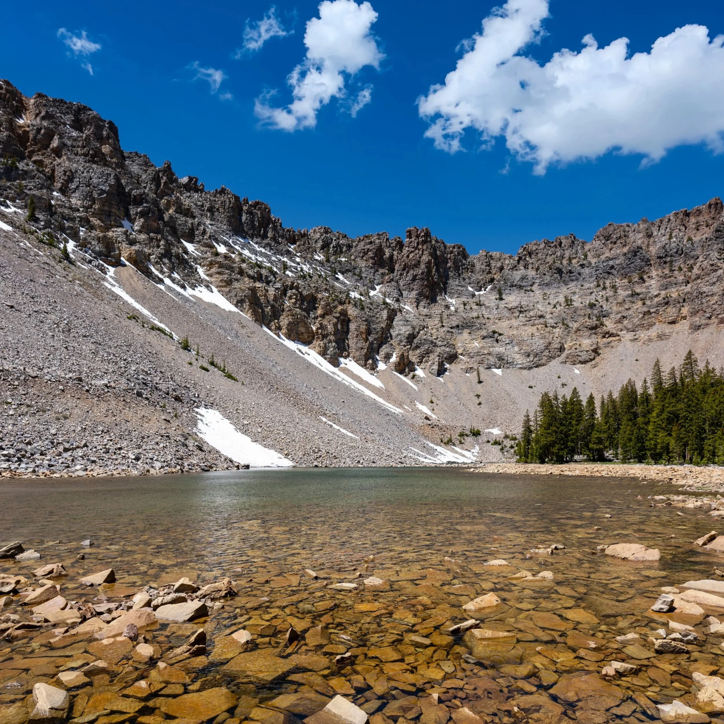
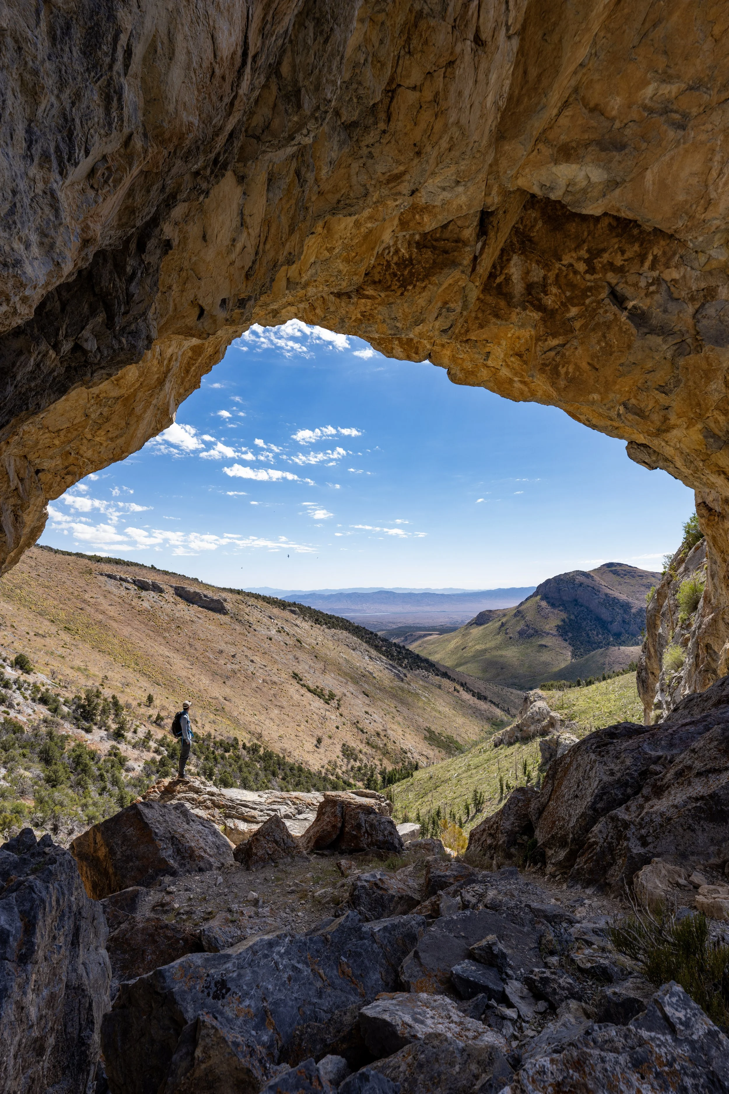
End of the Glacier Trail
This is the end of the maintained Glacier Trail, meaning that, from this point to the exposed glacier, hikers must navigate the talus slopes of the rock glacier to reach Wheeler Peak Glacier, roughly 0.2 miles (0.3 km) ahead.
That said, there is one best and easiest route to follow, which is essentially to stay high and left twice.
By this, I mean that, at the end of the maintained trail, stay left on the ridge and do not lose elevation, even though it’s easier to go down and to the right.
Warning
Hiking past the end of the maintained Glacier Trail is not inherently risky because it is off-trail, but because of rockfall.
This is something I have witnessed constantly near the end of the Wheeler Peak Glacier during the summer, and a National Park ranger even told me that professionals studying the glacier rarely venture onto the exposed ice because the risk is too high. Instead, they mostly use drones under a permit to study the glacier’s movement.
I write all this to say that the risk of rockfall is not necessarily the greatest immediately after leaving the trail. However, the risk only increases the closer you hike to the exposed glacier, and it’s why wearing a helmet is certainly justified if you plan to venture all the way to the end.
Once at the top of the first little ridge after the end of the maintained Glacier Trail, go left and cut up the slope at the lowest point between this ridge and the next hill on the left.
The key is not to hike too far along the lower ridge; otherwise, the next uphill section on the left becomes higher and more challenging.
That said, simply look for the point where the lower ridge is highest and the upper ridge is lowest, then cut uphill—and know that micro-spikes can be very helpful, though they are not always necessary.
This is the top of the shortest uphill section between the lower and upper ridges.
From this point, the rest of the hike to the exposed Wheeler Peak Glacier is nothing more than a straight shot across the rest of the rock glacier to the end.
Wheeler Peak Glacier
This is the exposed Wheeler Peak Glacier, a roughly 2.1-acre (8,498-square-meter) glacier in the deepest, most shaded part of the glacial cirque beneath Wheeler Peak.
That said, the Wheeler Peak Glacier is Nevada’s only glacier, and researchers have recorded crevasses as deep as 20 ft. (6.1 m).
I mention this because venturing onto any glacier generally requires the knowledge and know-how to rope up properly, but when it comes to the Wheeler Peak Glacier, visitors have no business venturing onto the ice!
The risk of rockfall is too great to make walking more than a few feet onto it worthwhile, and if you spend a little time enjoying the views, I have no doubt that you’ll see or hear a rockfall or two.
The National Park Service even has a photo of a Raven crushed by a falling rock on the Wheeler Peak Glacier, so if one can hit a bird, just imagine how much more of a target you are!
Seriously, just enjoy the views and stay safe!