Hiking the Timber Creek Loop Trail in Great Basin National Park
Distance: 5.3 miles / 8.5 km
The Timber Creek Loop Trail in Great Basin National Park is a long, 5.3-mile (8.5 km) adventure in the foothills of the Snake Range that combines the Timber Creek Trail, the Baker Meadows Trail, and the south side of the Baker Creek Loop Trail into loop!
In my opinion, I like to think of the Timber Creek Loop Trail as more of a workout or trail run than anything else because it is quite a bit longer than the Baker Creek Loop to simply say you’re just looking to get outside, but even more so, the long loop almost feels as if there’s no specific destination in mind—that is, if you decide to hike the loop and not to Johnson Lake.
However, these thoughts go out the window when the Aspens along the trail turn from green to gold during the fall, making the Timber Creek Loop Trail a great choice for getting out and enjoying the beautiful colors with almost no one else in the park!
Timber Creek Loop Trailhead Parking
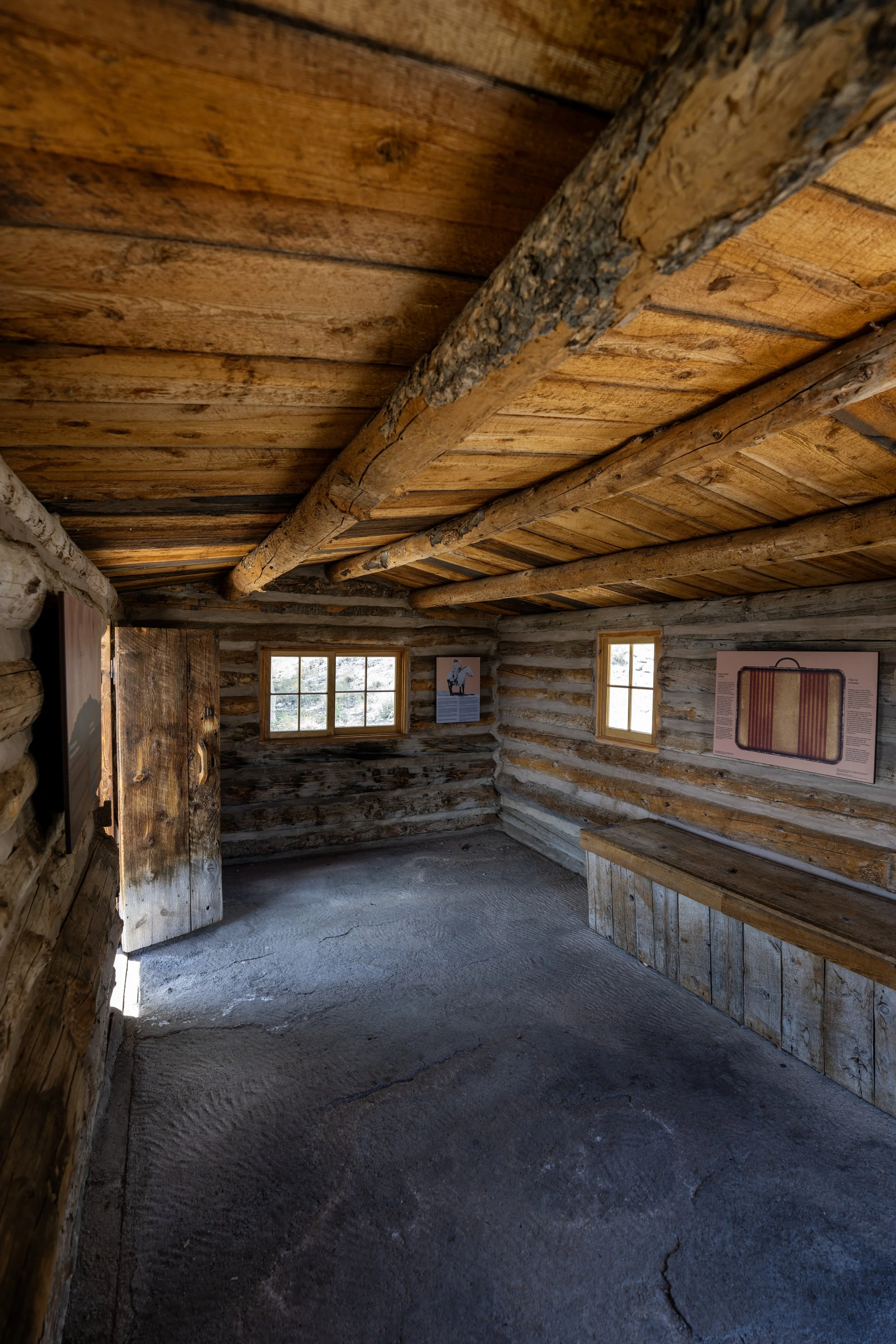
Parking for the Timber Creek Loop Trail is located at the Baker Creek Trailhead, the joint trailhead that serves several different day hikes and overnight adventures, including the Pole Canyon Loop Trail, the Baker Creek Loop Trail, the Baker Lake Trail, and more.
That said, the Baker Creek Trailhead is not nearly as popular as the Bristlecone–Alpine Lakes Trailhead at the end of Wheeler Peak Scenic Drive, meaning that regardless of the hike you choose, it will almost always mean encountering very few, if any, other hikers.
Google Maps Directions: Baker Creek Loop Trailhead
Hiking Checklist - Great Basin
Here is a complete list of must-have things that you will want for any hike in Great Basin National Park.
Hiking the Timber Creek Loop Trail
There are two different paths, or trailheads, that begin at the Baker Creek Trailhead, with the Timber Creek Loop Trail located on the left.
South Timber Creek Loop-Baker Lake-Pole Canyon Loop Junction
The Baker Creek Trailhead is not only the beginning of the Timber Creek Loop Trail, but also the Baker Creek Loop Trail, the Baker Lake Trail, and the Pole Canyon Loop Trail, all of which can be read about in more detail in my separate articles linked below.
In any case, go straight at the Timber Creek Trailhead to begin the Timber Creek Loop Trail, as well as the alternate route to Johnson Lake.
Read My Separate Posts: Baker Creek Loop Trail / Baker Lake Trail / Pole Canyon Loop Trail
Timber Creek Loop Trail (Lower Baker Creek Loop Junction)
After 0.2 miles (0.3 km), the Timber Creek Trail reaches the start of the 4.9-mile (7.9 km) Timber Creek Loop, with the south side of the Baker Creek Loop located on the right and the Timber Creek Trail to both Pole Canyon and Johnson Lake located on the left.
That said, I personally like going left to begin hiking the loop in the clockwise direction because the elevation gain is quite a bit steeper on the east half of the loop than on the west.
I do this because I like to get the steepest uphill out of the way right away, but also because trail running back down the west side of the loop is much nicer on the more drawn-out, gradual side along Baker Creek.
Read My Separate Post: Baker Creek Loop Trail
Regarding my thoughts above, I chose to go left in the clockwise direction around the loop.
This long, open gap in the forest is a nice sign that the Pole Canyon junction is not far ahead.
Timber Creek Loop-Pole Canyon Loop Junction
This is where the Pole Canyon Loop branches away from the Timber Creek Loop at roughly 0.6 miles (1.0 km) into the hike.
Once here, go straight at this split, and the Timber Creek Loop will start climbing the steepest parts of the hike a short distance ahead.
Read My Separate Post: Pole Canyon Loop Trail
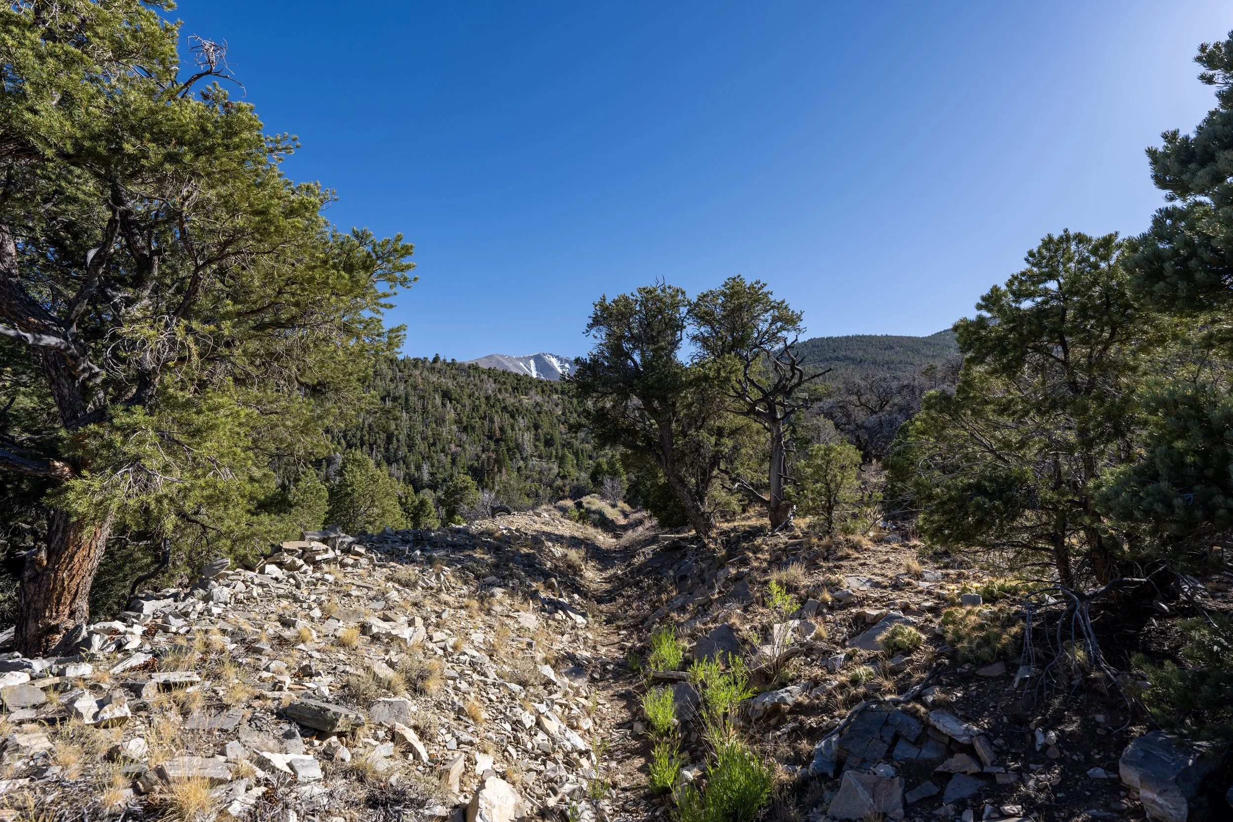
This is where the Timber Creek Trail starts climbing steepest sections up the east side of the loop before the switchbacks.
This is where the Timber Creek Loop Trail turns the first of 10 switchbacks on the east side of the loop.
From the bottom of the steep ascent to the top, just before the loop meets the connection with John Lake, the Timber Creek Trail gains roughly 1,260 ft. (384 m) over 1.6 miles (2.6 km).
Since the Timber Creek Loop Trail is such a long, high-elevation adventure, I highly recommend wearing a hooded sun shirt to stay safe.
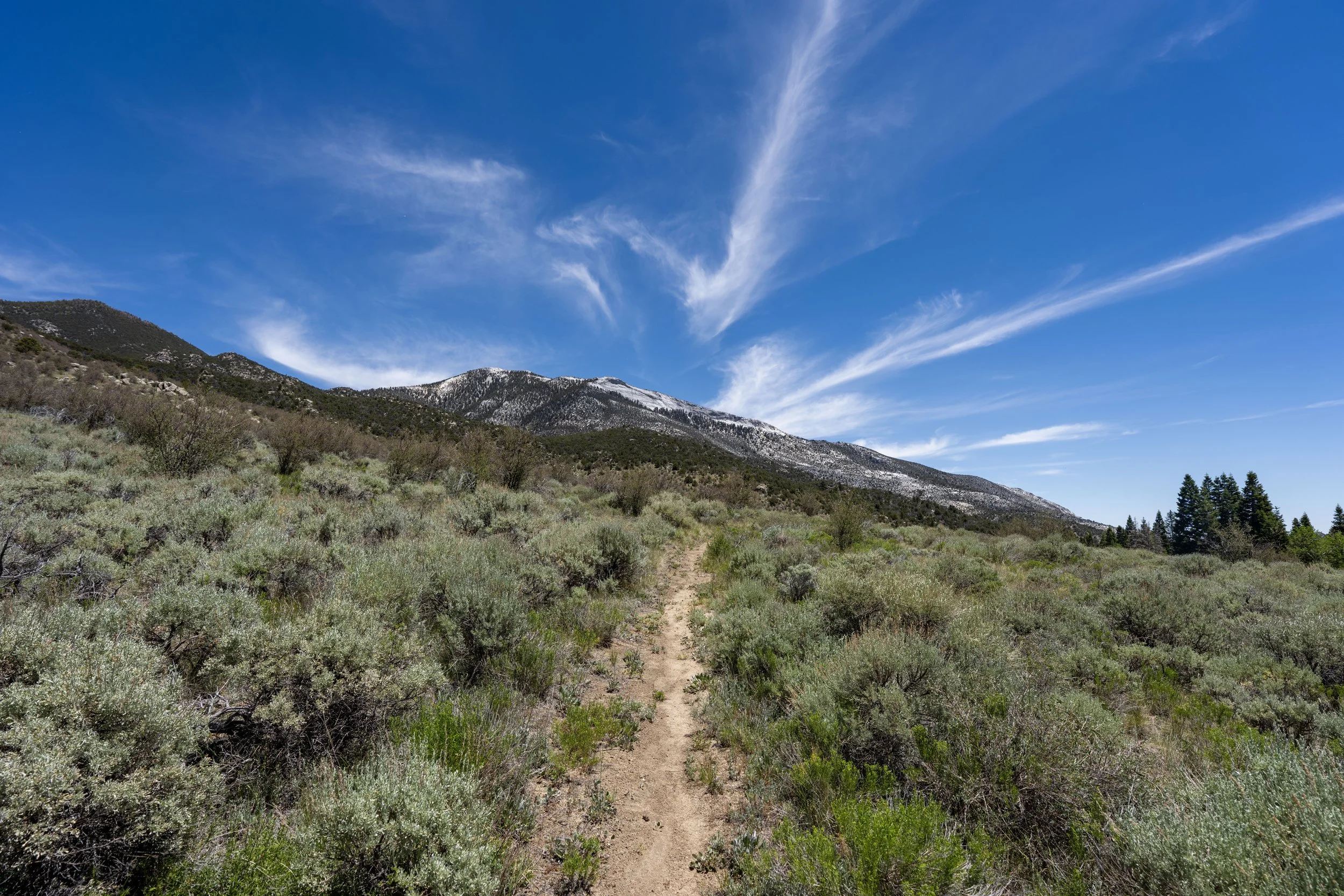
This is where the Timber Creek Loop Trail crosses above 9,000 ft. (2,743 m).
This is the 8th switchback.
This is where the Timber Creek Loop Trail turns the 10th and final switchback.
That said, there is still about 440 ft. (134 m) left to gain from this point to the highest point on the loop.
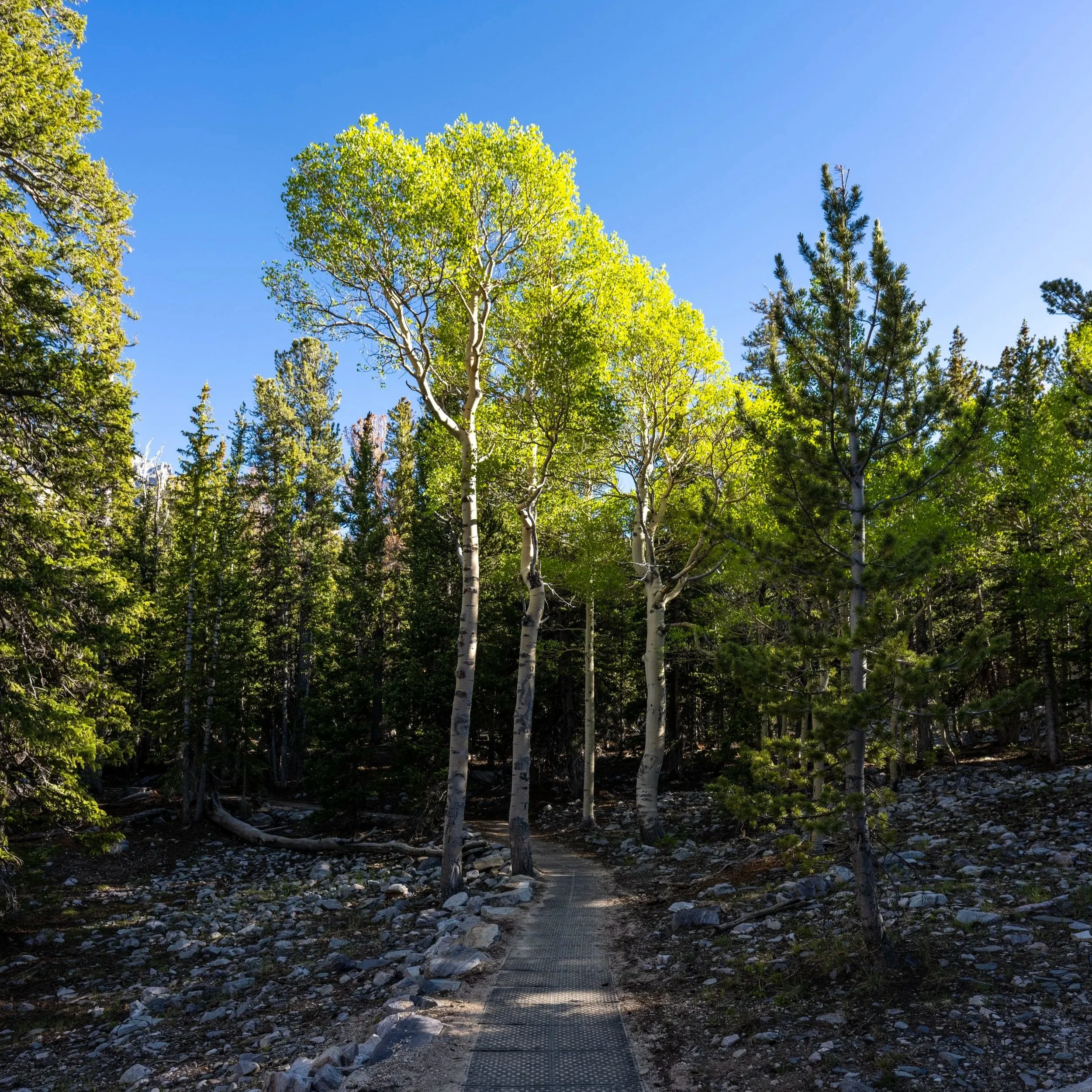
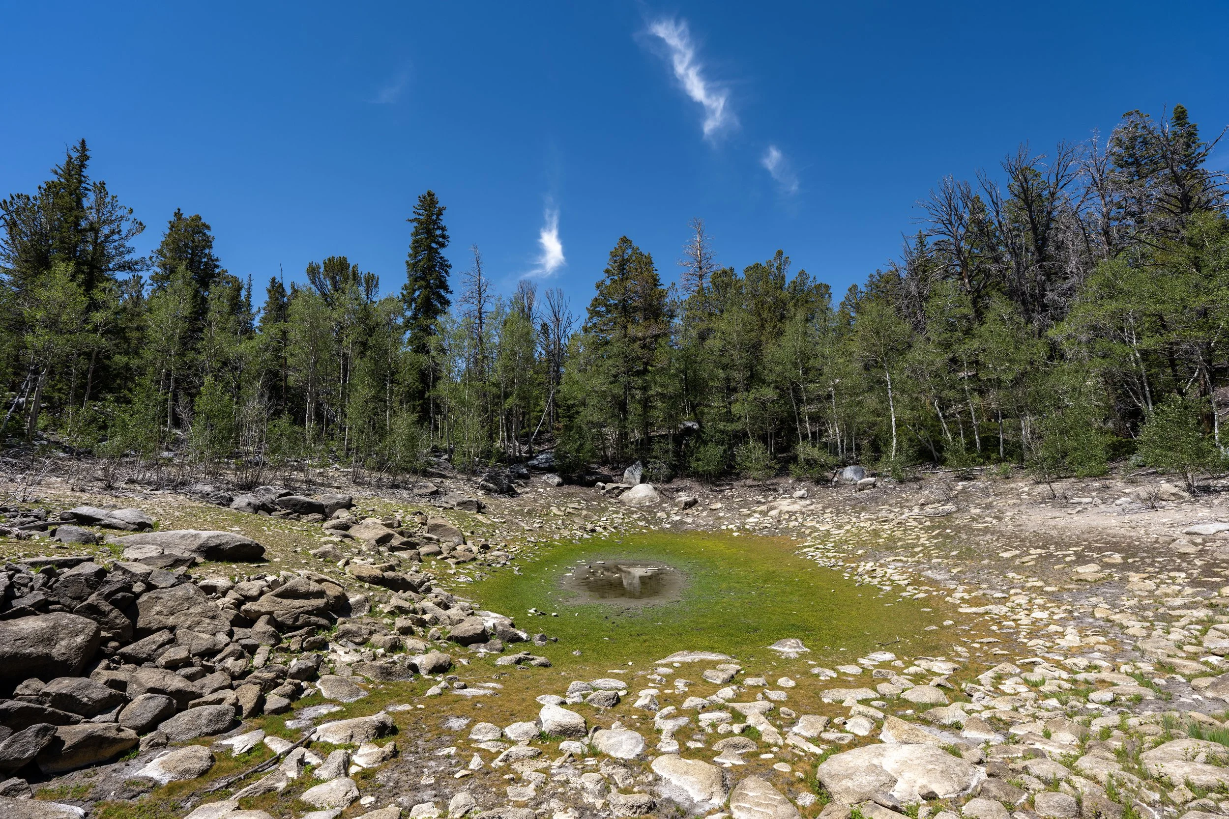
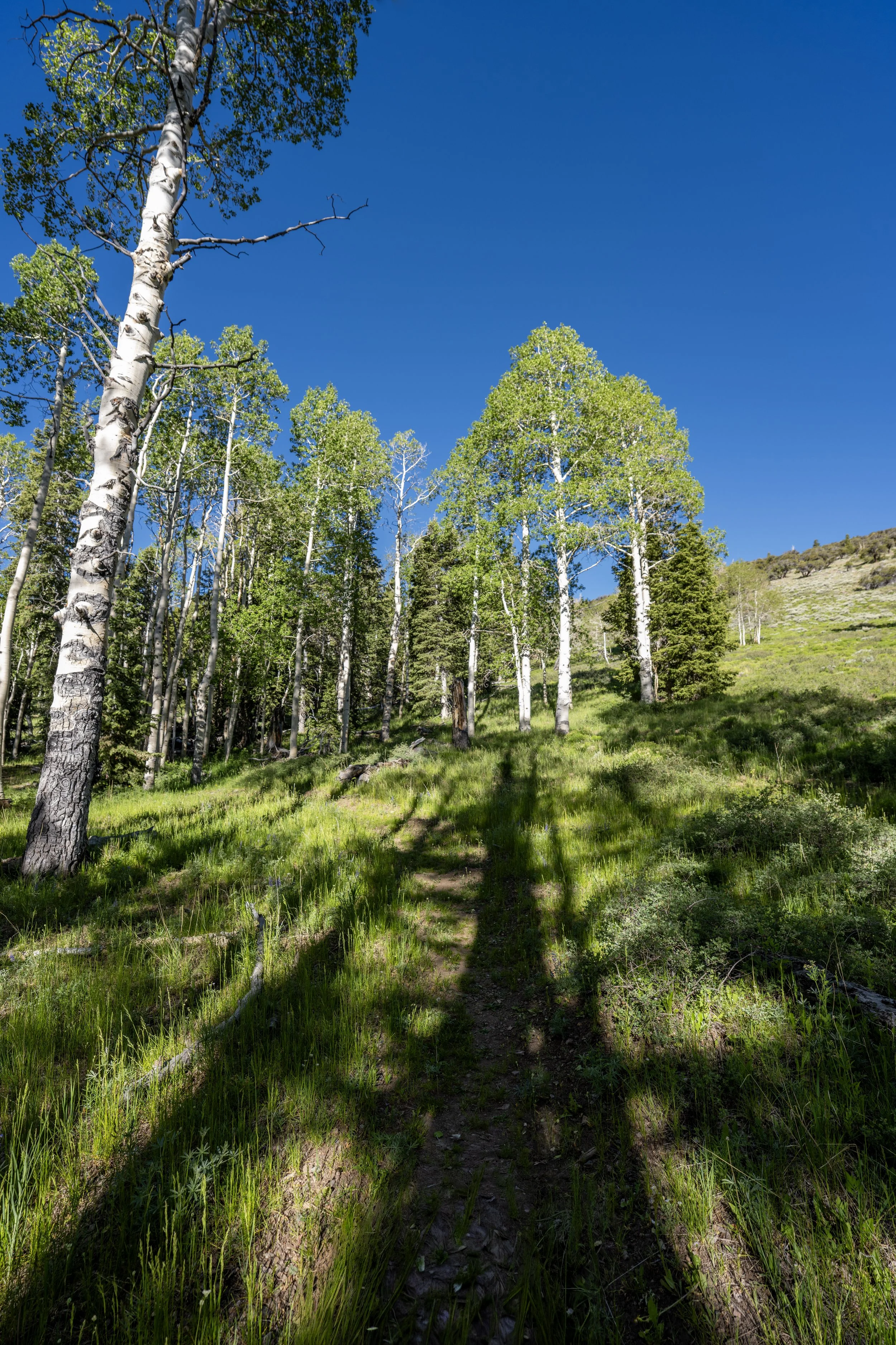
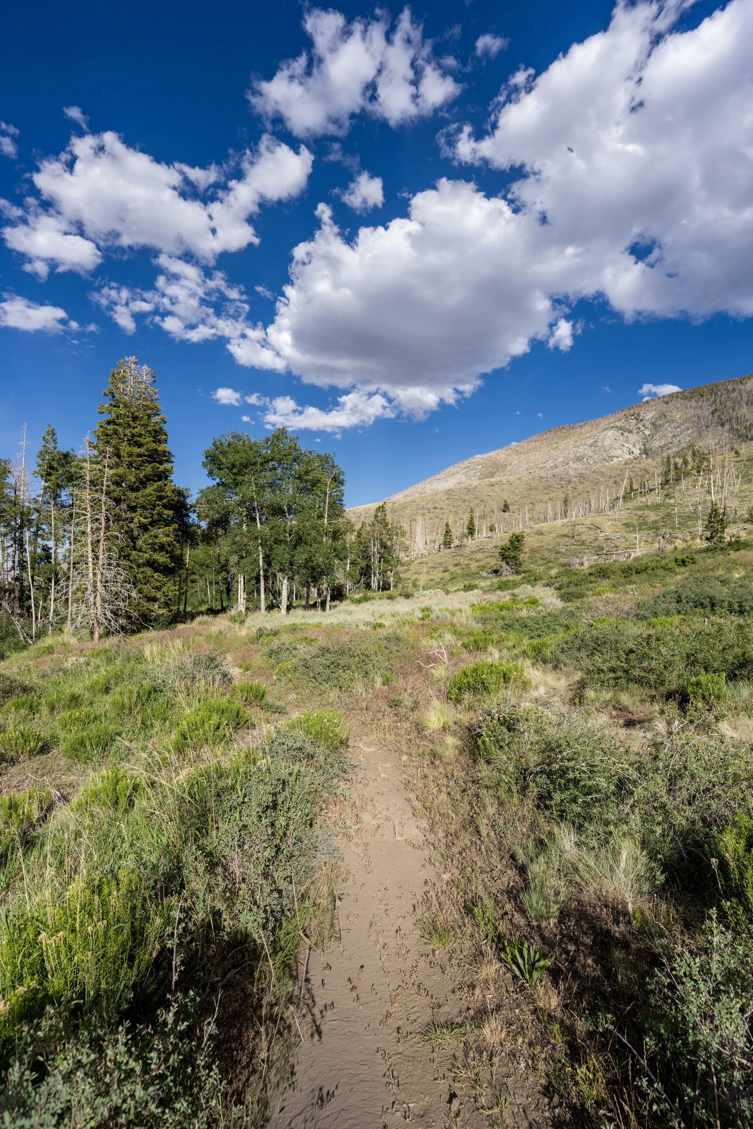
This final stretch to the top of the hill simply winds its way through a mixed Aspen forest, but when the trees abruptly come to an end, the top of the hill and the far south side of the loop is not far ahead!
This is where the Timber Creek Loop Trail approaches the clearing at the top of the hill.
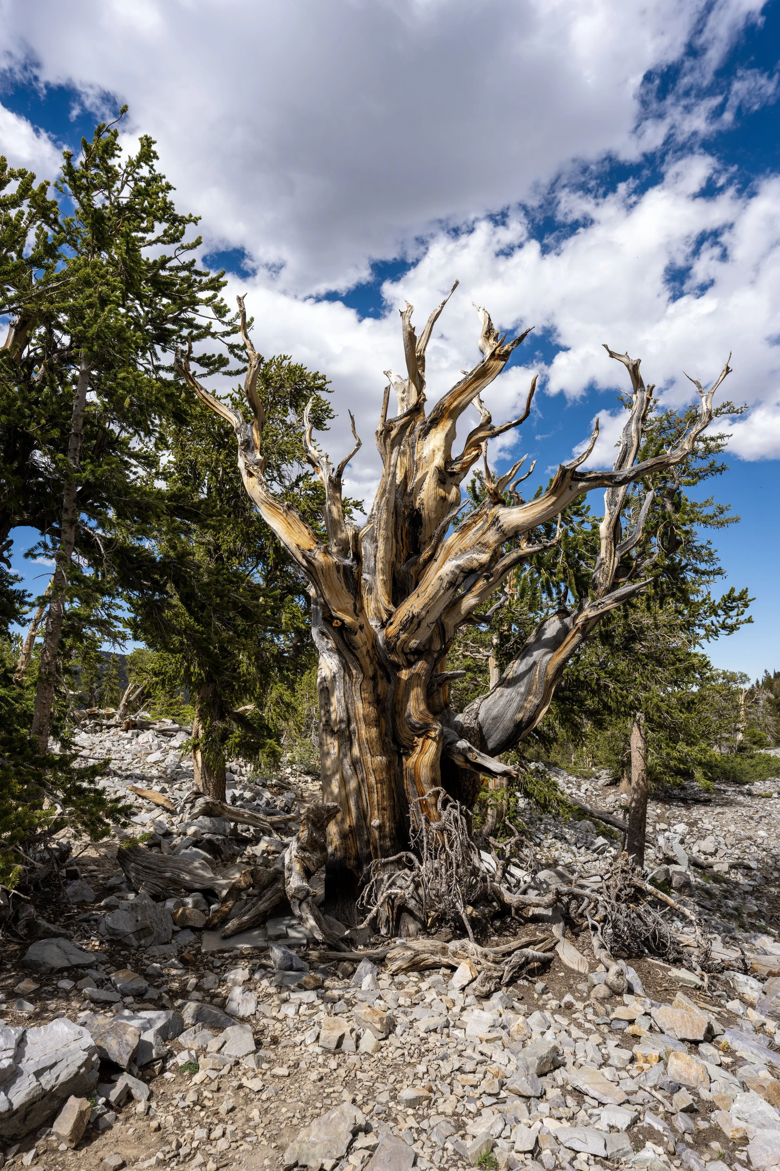
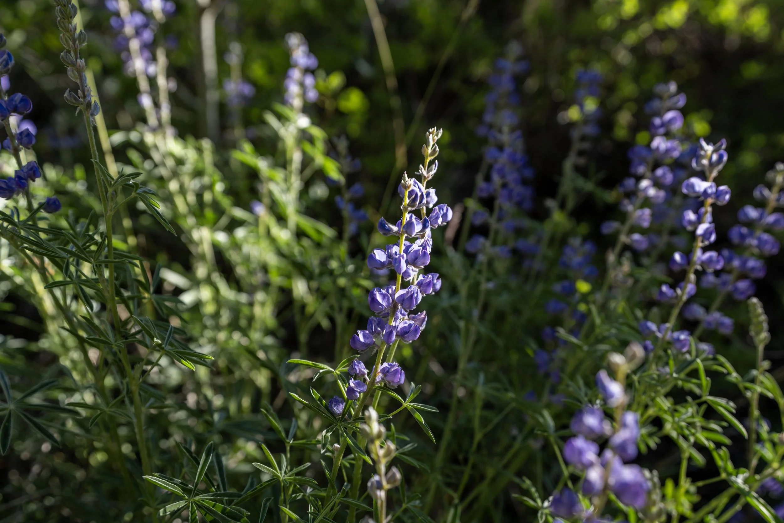
One of the most interesting but often overlooked things about the top of the Timber Creek Loop Trail is how distinctly the different clusters of Aspen trees can be seen!
By this, I mean that Aspens often reproduce by shooting up new stems, known as suckers, from their roots. As a result, what appears to be a grove of individual trees may actually be countless genetically identical clones connected to the same root system. This means that genetic testing is required to determine exactly where one clone ends and another begins.
However, at the top of the Timber Creek Loop Trail, different Aspen clusters can distinctly be seen from one another among the Sagebrush—something that certainly cannot be said about many other Aspen forests across the West.
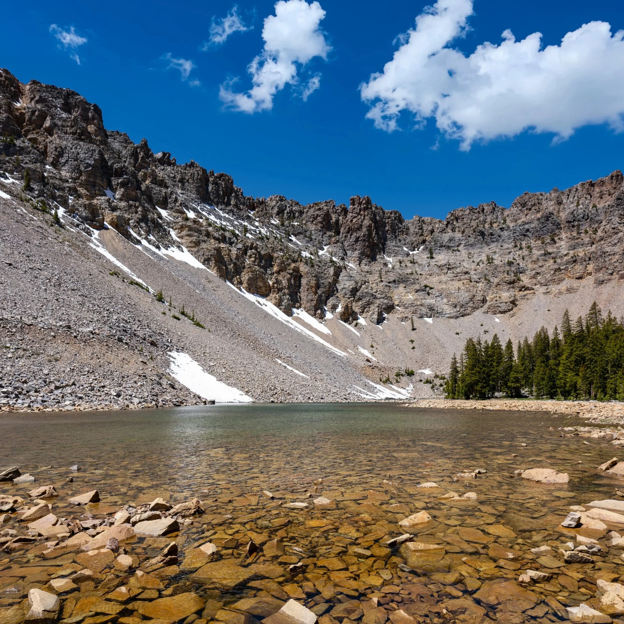
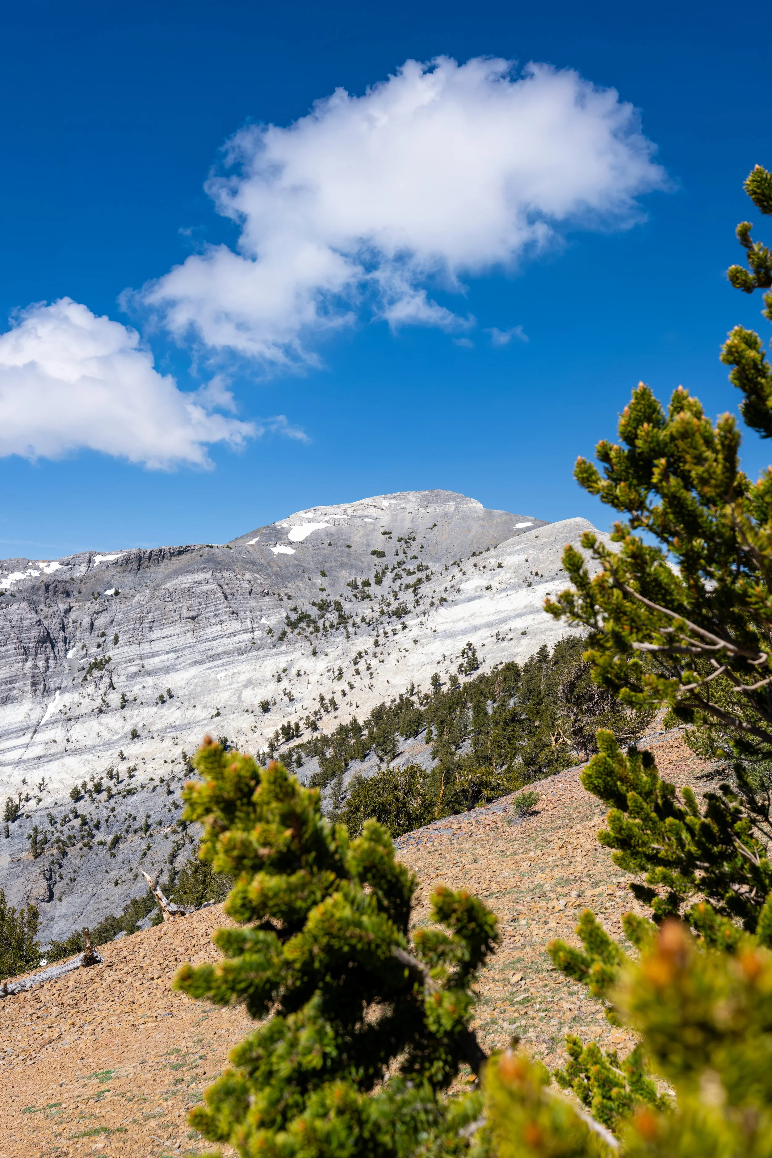
This is the highest point on the Timber Creek Loop Trail, at roughly 9,660 ft. (2,944 m).
However, this is not the highest point on the Timber Creek Trail, which continues past the loop toward the Snake Creek Divide and Johnson Lake beyond.
Timber Creek Loop-Timber Creek Junction
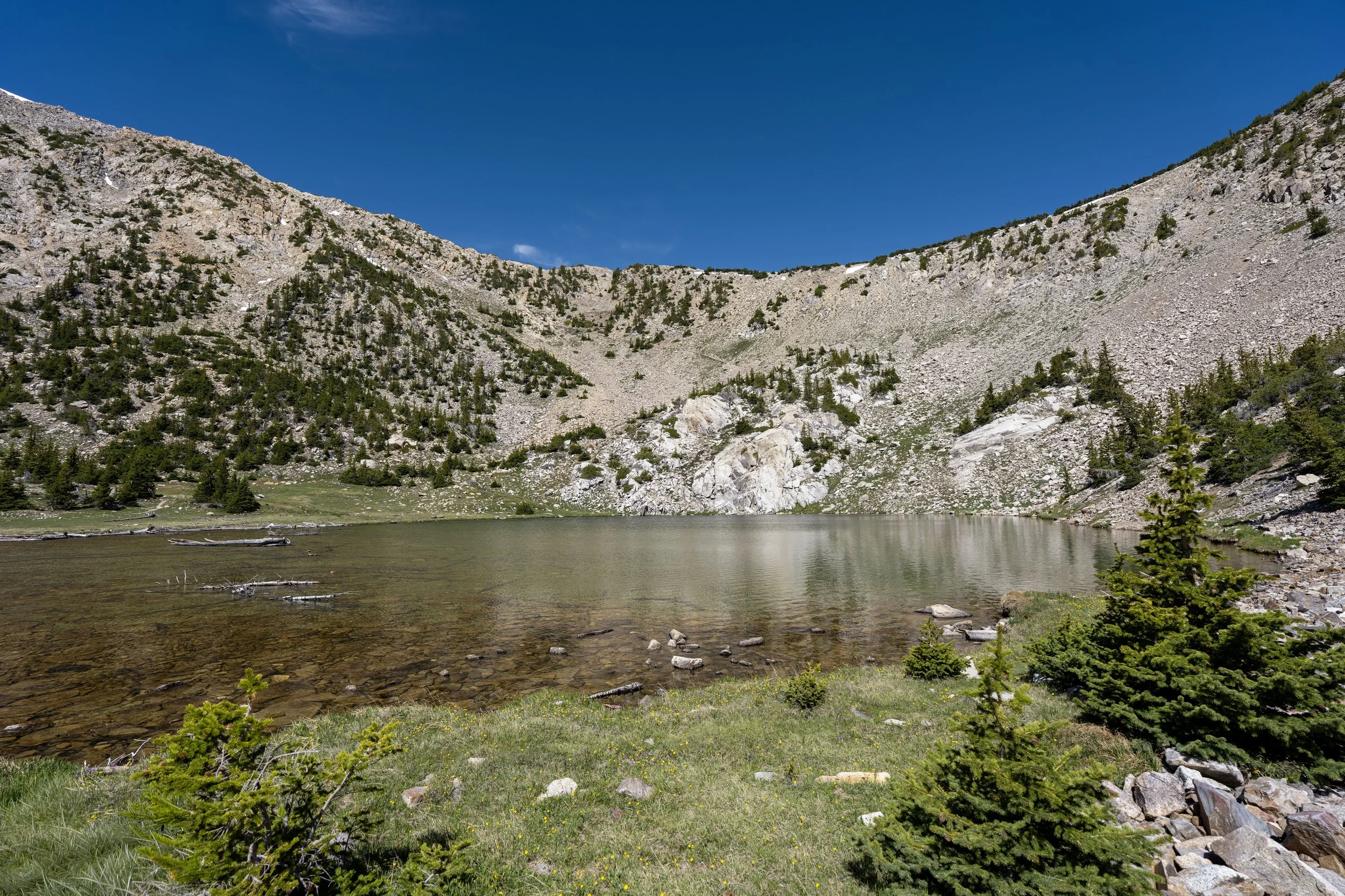
This is the far southern end of the Timber Creek Loop Trail and the connection with Johnson Lake.
That said, go right at this junction to continue hiking the Timber Creek Loop back to the Baker Creek Trailhead.
However, if you are interested in seeing what the Timber Creek Trail looks like as it climbs up and over Snake Creek Divide, click the link below to skip ahead.
To skip ahead to the Timber Creek Trail that leads to the Johnson Lake Trail, click here.
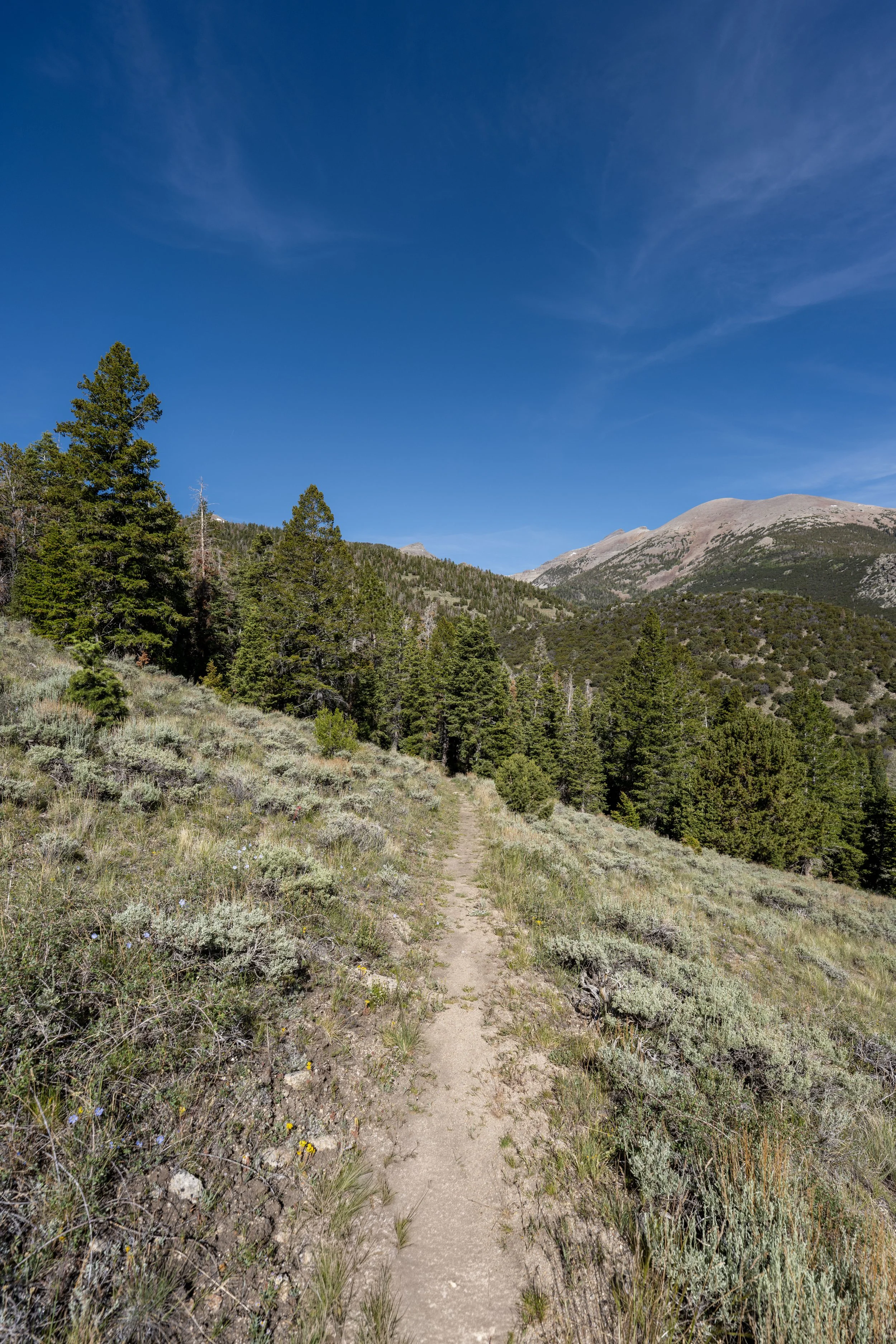
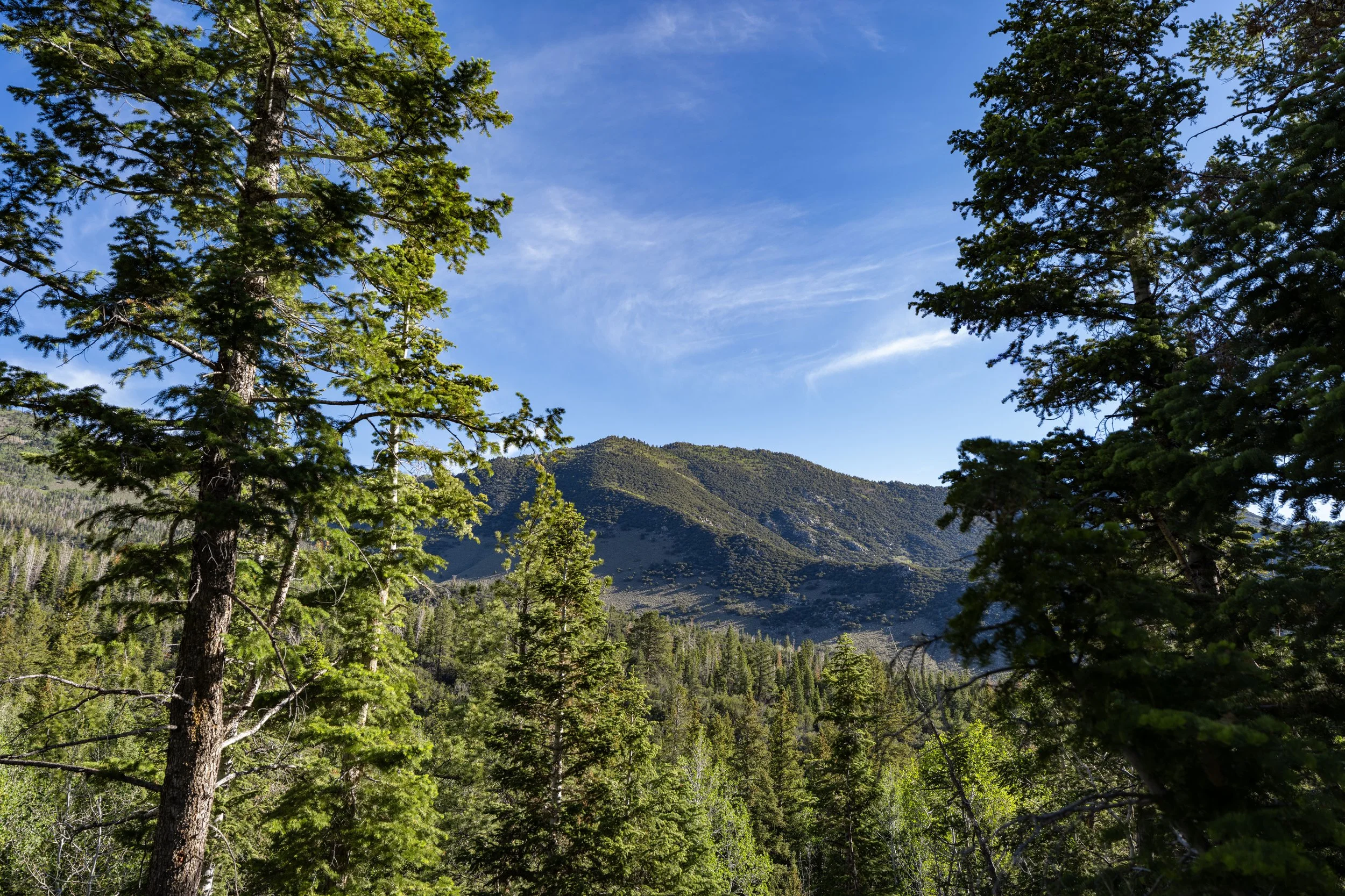
After turning the corner to begin the west side of the Timber Creek Loop, the trail starts a long, mostly gradual descent back to the beginning.
This is why I think the Timber Creek Loop Trail is best hiked clockwise, especially when trail running.
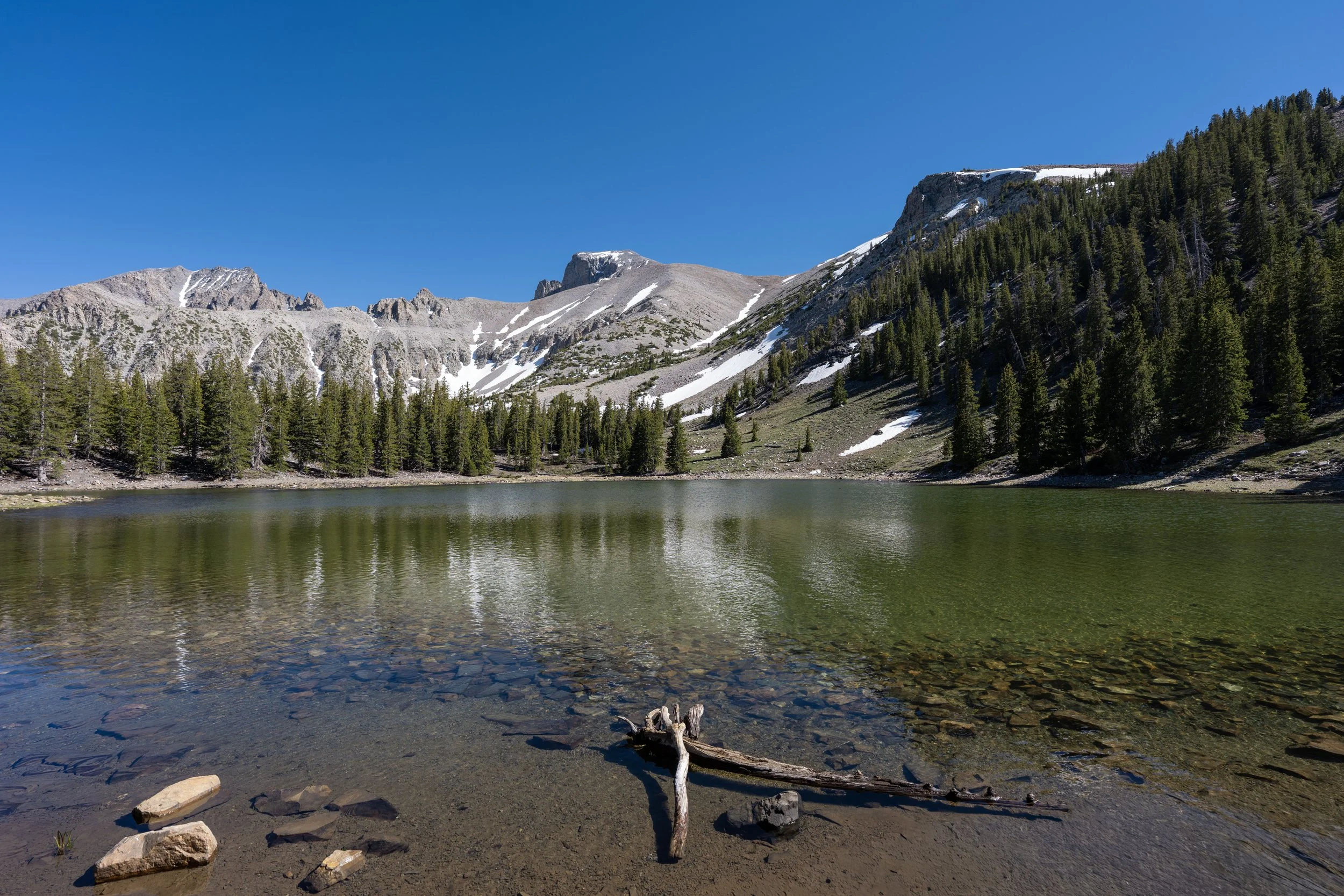
The peak on the left-hand side of the photo below is Wheeler Peak!
If trail running is something you’re considering, I recommend using the shoes I have linked below, as they work well for both hiking and trail running on all the best adventures across Great Basin.
This is where the Timber Creek Loop Trail crosses over the South Fork of Baker Creek, which I highlight because the next time the trail crosses the creek is very close to the halfway point between the start of the Baker Creek Loop and the trailhead.
It was at this point that I realized I should pick up the pace if I wanted to make it in time to order a milkshake at the Great Basin Café before they close, which is truly one of the best things to do in Great Basin National Park!
Upper Timber Creek Loop-Baker Creek Loop Junction
After 1.5 miles (2.4 km) since beginning the west side of the Timber Creek Loop, the trail reaches the Baker Creek Loop portion of the hike, which is why this section will mirror my separate Baker Creek Loop article.
That said, go right to continue hiking the Timber Creek Loop Trail back toward the Baker Creek Trailhead, about 1.4 miles (2.3 km) away from this junction.
Read My Separate Post: Baker Creek Loop Trail
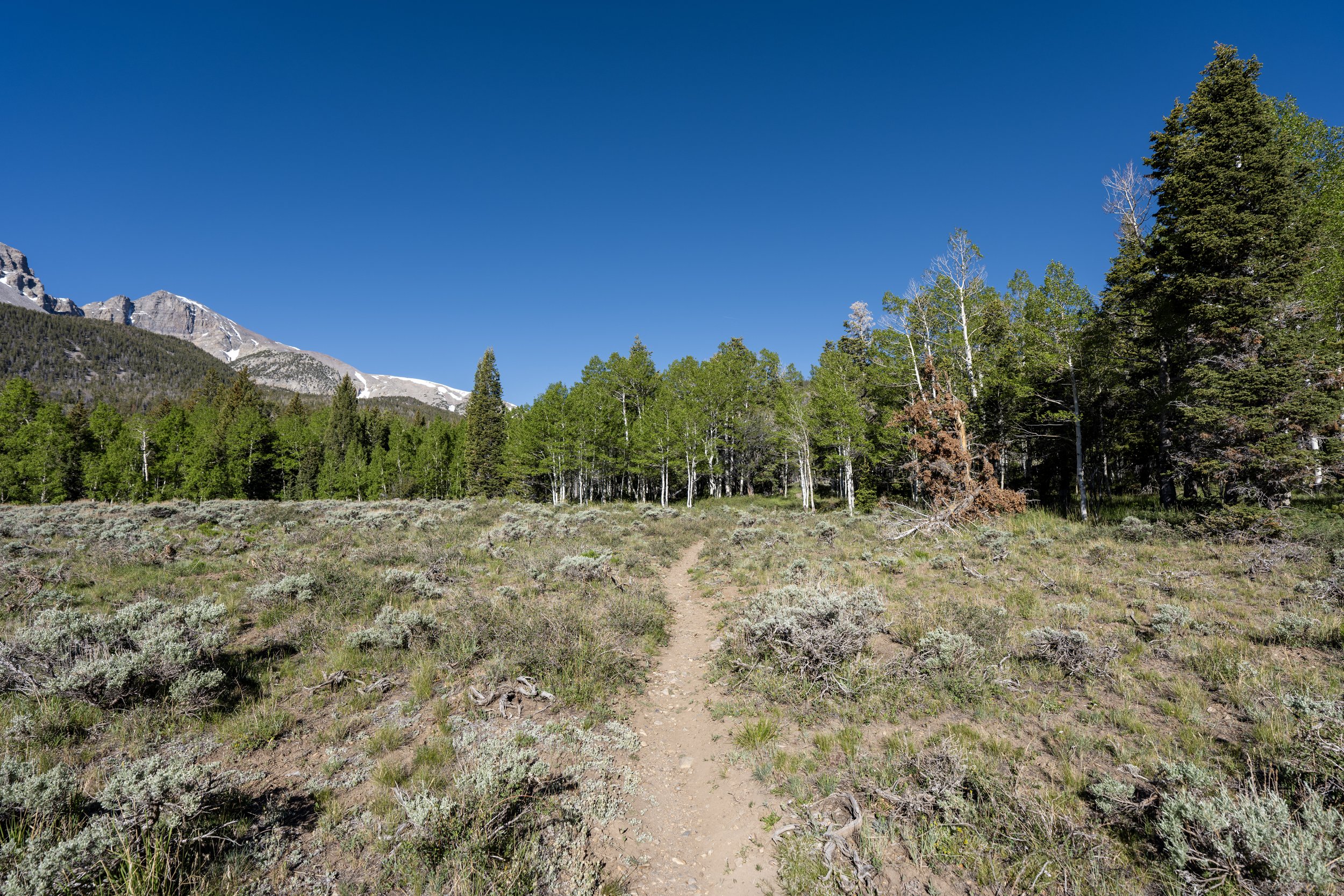
This large clearing on the right-hand side of the trail is Baker Meadows, hence the alternate name for this half of the Timber Creek Loop, as well as the Baker Creek Loop Trail.
When the Timber Creek Loop Trail re-enters the trees after Baker Meadows, it remains in the forest for nearly the rest of the hike to the trailhead.
This is why, while not the most popular trail in Great Basin National Park, the Baker Creek Loop Trail is often seen as simply a part of other, longer adventures, such as the hike to Baker Lake, rather than as its own separate day hike.
Once again, I highly recommend wearing a hooded sun shirt for this and all day hikes across Great Basin National Park.
This is where the Baker Creek Loop crosses the South Fork of Baker Creek for the second time, which is the mental halfway point between the Upper Timber Creek Loop junction above and the Baker Creek Trailhead that I previously mentioned.
Even though this half is more gradual than the east side, the Baker Meadows half of the Timber Creek Loop descends almost constantly from the Upper Baker Creek Loop junction shown above, losing roughly 850 ft. (260 m) in the final 1.4 miles (2.3 km).
This is why some hikers may want to use trekking poles on the 5.3-mile (8.5 km) loop, which can certainly be helpful across countless steep adventures in Great Basin National Park.
Timber Creek Loop Junction (Lower Baker Creek Loop Junction)
This is where the Timber Creek Loop Trail returns to the original loop split, about 0.2 miles (0.3 km) from the beginning.
That said, go left at this split to continue down the Baker Creek Loop Trail and return to the Baker Creek Trailhead.
Timber Creek Loop-Timber Creek Junction
If you decided to go left at the far southern end of the Timber Creek Loop toward Johnson Lake, the Timber Creek Trail leaves the loop and begins a gradual ascent up and over Snake Creek Divide, at which point the trail descends to the Johnson Lake Trail.
This section, between the southern end of the Timber Creek Loop and the top of Snake Creek Divide, will closely mirror the ascent from the top of the switchbacks to the top of the hill on the east side of the loop.
That said, this ascent climbs roughly 270 ft. (82 m) in 0.6 miles (1.0 km) to the top of the divide.
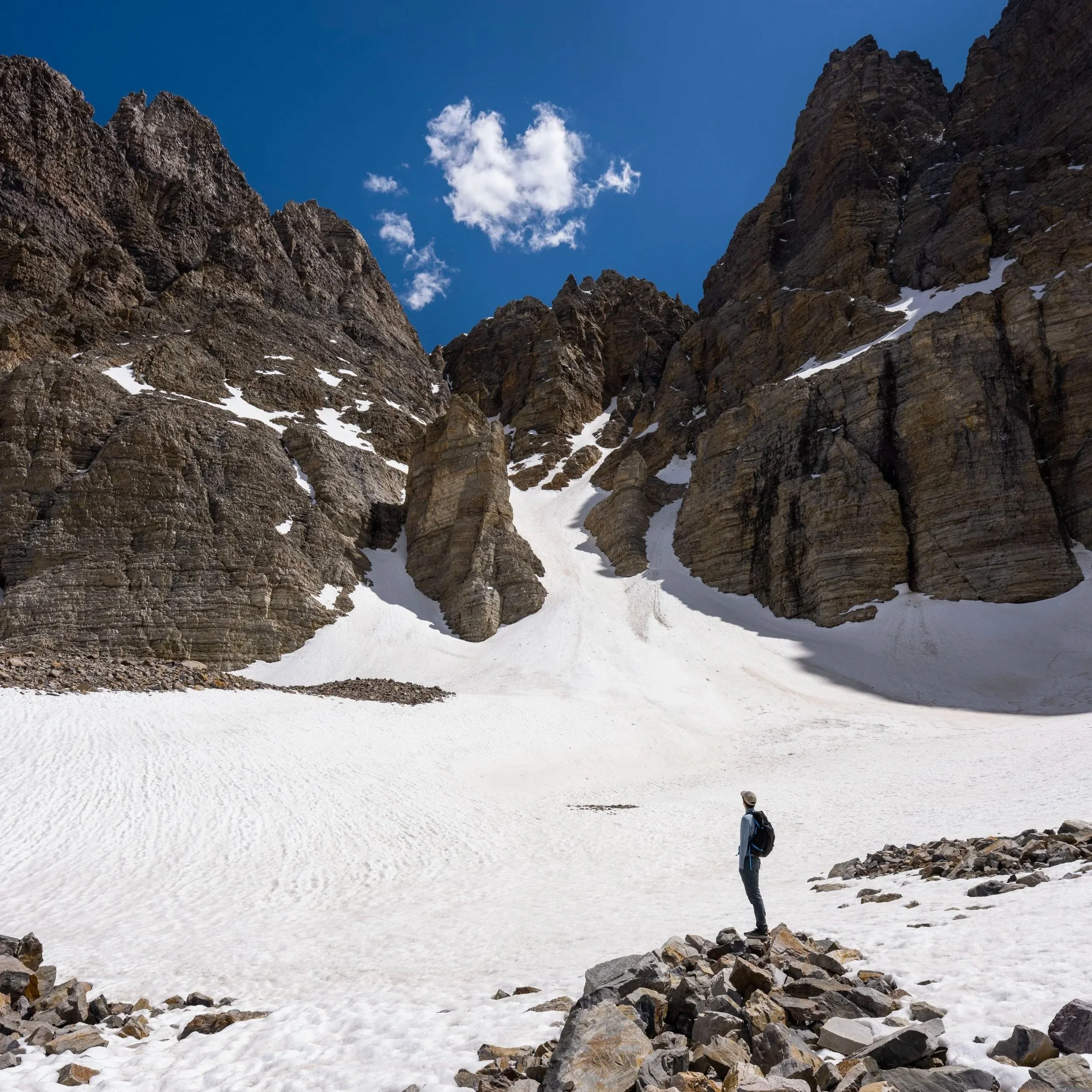
Similar to the top of the Timber Creek Loop Trail, the Timber Creek Trail also enters a clearing at the top of Snake Creek Divide.
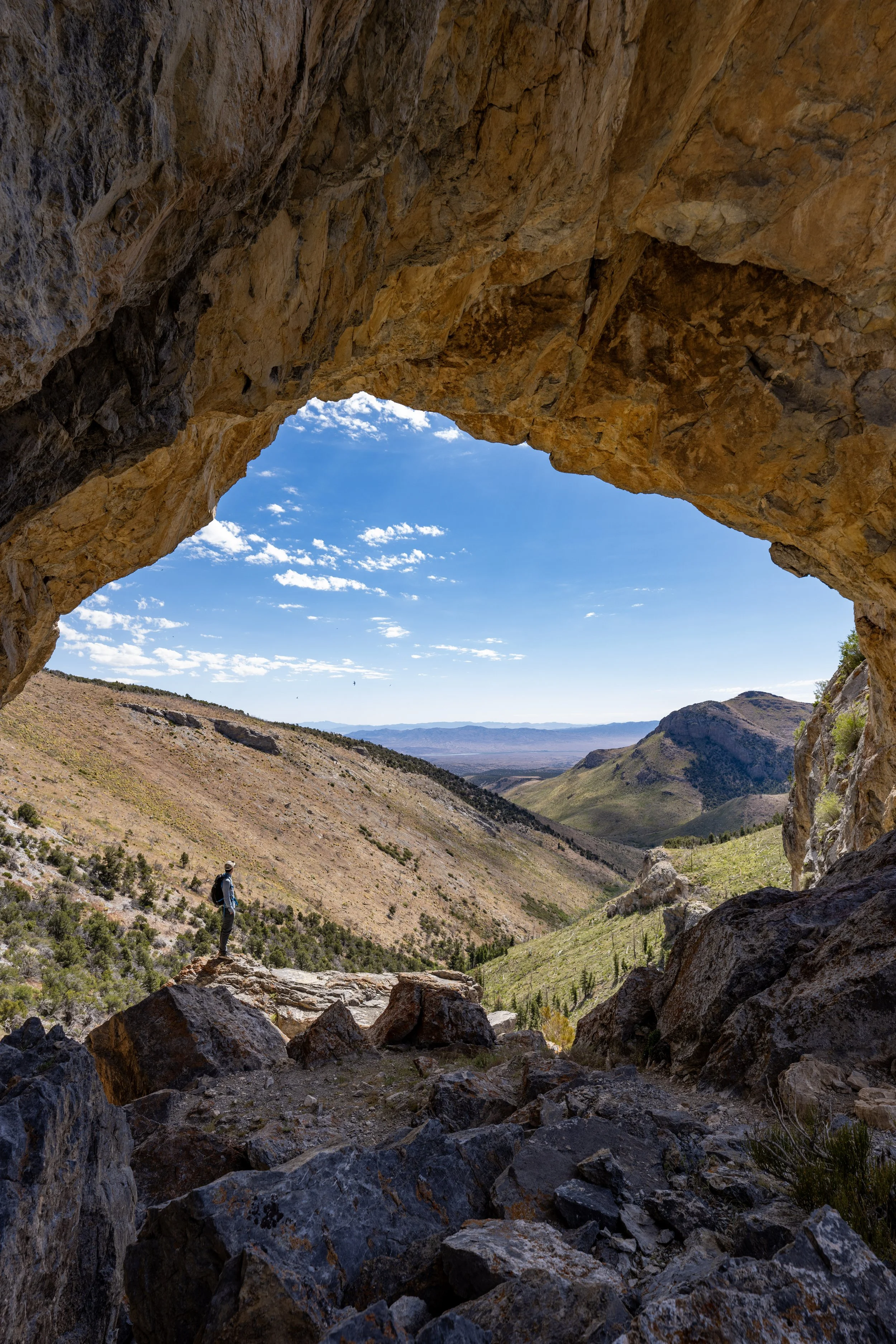
Snake Creek Divide
This is the Snake Creek Divide, not to be confused with the Snake Divide Trail, which begins down at the Snake Creek Trailhead on the south side of Eagle Peak.
Rather, Snake Creek Divide is a physical separation between neighboring drainage basins: the Timber Creek drainage to the north and the Snake Creek drainage to the south.
However, it is better thought of as the high point on the Timber Creek Trail and as the high point when connecting the Timber Creek Loop with the Johnson Lake Trail, just ahead.
Once on the south side of Snake Creek Divide, the Timber Creek Trail begins a near-constant descent until the point it reaches the connection with the Johnson Lake Trail.
This section loses about 370 ft. (113 m) over 0.6 miles (1.0 km).
If you look closely, the Snake Creek Trailhead can be seen from the Timber Creek Trail in the valley below.
Timber Creek-Johnson Lake Junction
This is where the Timber Creek Trail ends and the Johnson Lake Trail begins, roughly 1.6 miles (2.6 km) from Johnson Lake and 2.3 miles (3.7 km) from the Snake Creek Trailhead.
To learn more about the rest of the hike to Johnson Lake, you can find all the details in my separate post linked below, or to skip back to the Timber Creek Loop, click the second link below.
Read My Separate Post: Johnson Lake Trail
To skip back to the south side of the Timber Creek Loop Trail, click here.