Hiking the Sage Steppe Loop Trail in Great Basin National Park
Distance: 1.2 miles / 1.9 km
The Sage Steppe Loop Trail in Great Basin National Park is a short and easy loop trail in the northern foothills of the Snake Range that traverses both sides of Strawberry Creek, a creek that is considered to be one of the best habitats supporting the park’s native Bonneville Cutthroat Trout!
On top of this, Strawberry Creek is a spring-fed creek. I mention this because the Sage Steppe Loop circles some of the trout’s best habitat in Strawberry Creek, as elevations in the basin above 8,500 ft. (2,591 m) are higher than the natural spring and therefore too high for the trout, while elevations near the highway are too low and hot, meaning the creek dwindles and eventually disappears into the vast desert below.
However, the Sage Steppe Loop sits at the perfect elevation for spotting this elusive Cutthroat subspecies!
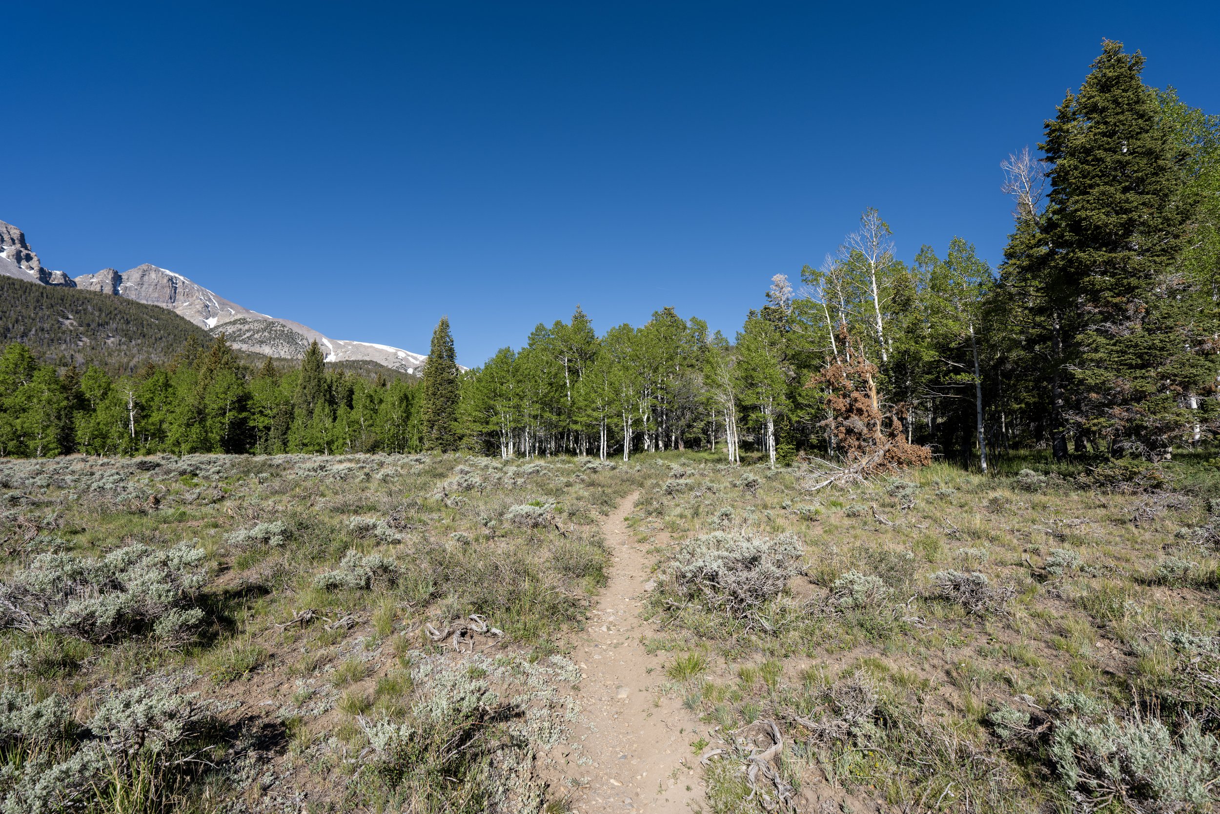
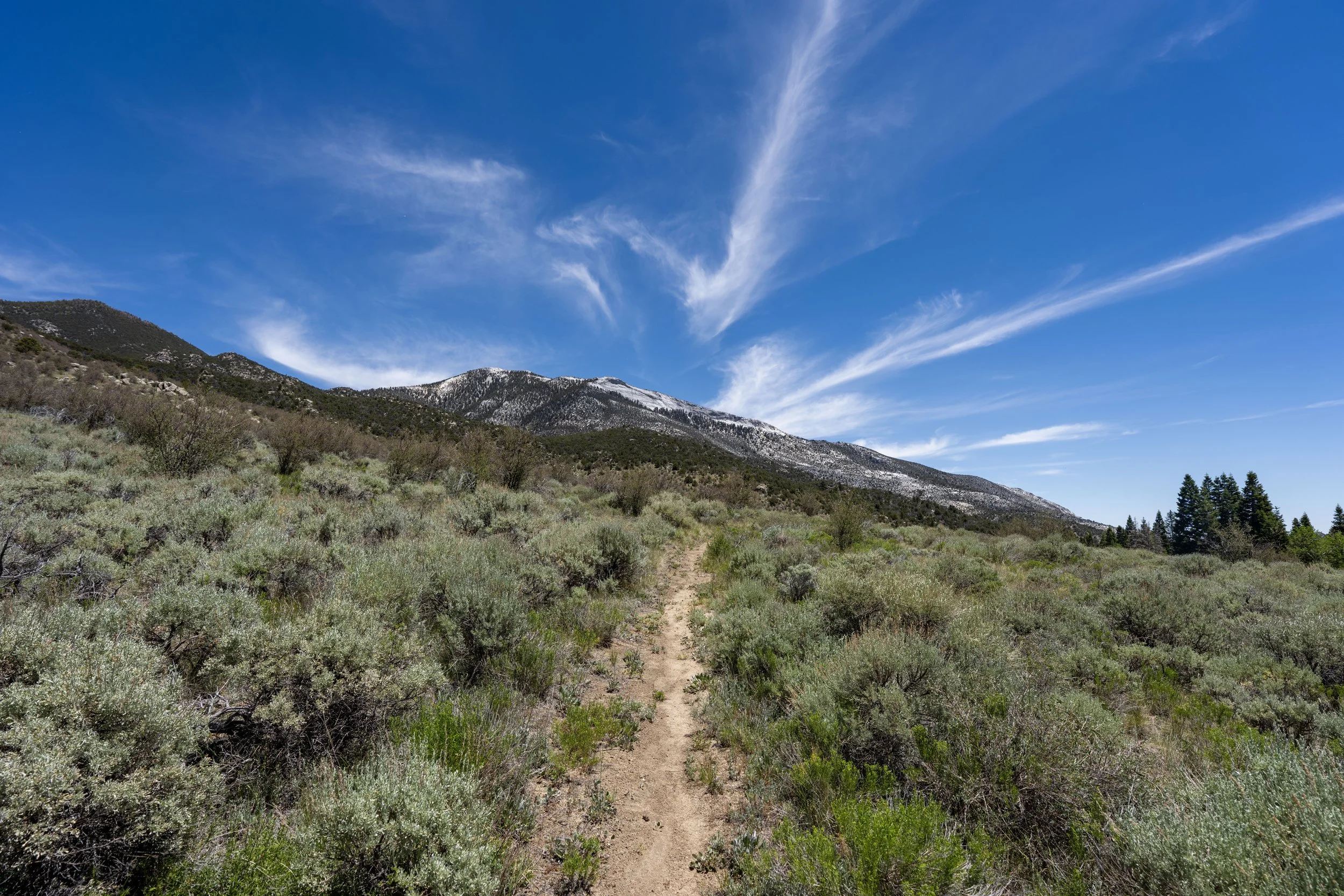
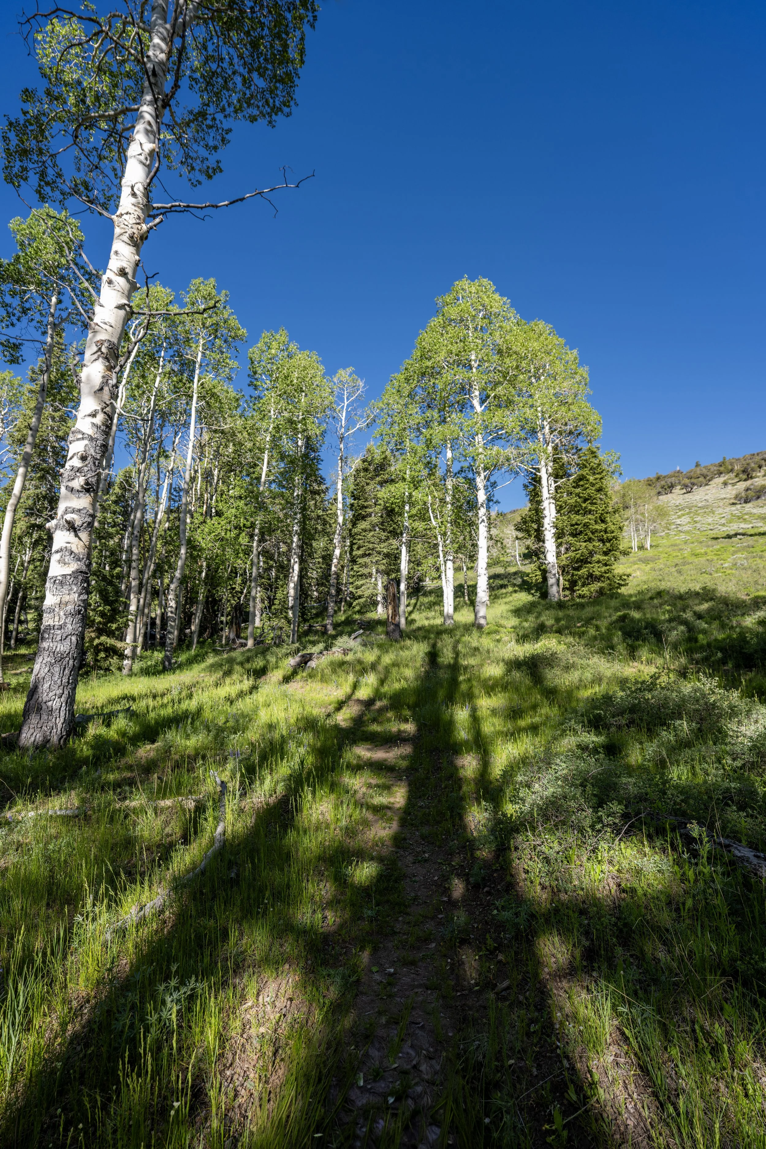
Now, all of this goes without saying that the Sage Steppe Loop Trail is located in the heart of the 2016 Strawberry Creek Fire burn scar, meaning the vast majority of the hike today is heavily altered from what it used to be. This is why I highly recommend arriving with the expectation that hiking the full loop means spending a lot of time in the sun. Even still, I believe the Sage Steppe Loop is worth the effort, as the trail is a short, easy, and, most of all, uncrowded way to enjoy some time in Great Basin National Park!
Sage Steppe Loop Trailhead Parking
Parking for the Sage Steppe Loop Trail is located at the Strawberry Creek Trailhead, the joint trailhead that also serves the Upper Strawberry Trail and the Osceola Ditch Trail, about 5.5 miles (8.9 km) from Highway 50.
The Strawberry Creek Trailhead has one of the smaller parking areas compared with other trailheads away from Wheeler Peak Scenic Drive. However, since it is not a very popular place to visit in Great Basin, finding a place to park is typically never an issue.
Google Maps Directions: Sage Steppe Loop Trailhead
Hiking Checklist - Great Basin
Here is a complete list of must-have things that you will want for any hike in Great Basin National Park.
Hiking the Sage Steppe Loop Trail
The Sage Steppe Loop Trail can begin at either one of two trailheads that branch out from Strawberry Creek Trailhead parking area.
On the left is the route for the Sage Steppe Loop Trail in the clockwise direction, which is also thought of as the start of the Osceola Ditch Trail when beginning from Strawberry Creek.
On the right, however, the Sage Steppe Loop begins in the counterclockwise direction, which is often thought of as the beginning of the Upper Strawberry Creek Trail.
I write it this way because it truly doesn’t matter which route you choose to begin, as both sides are neither more or less difficult than the other and both are exactly 0.6 miles (1.0 km) to the upper end of the loop.
In this article, I chose to begin on the right (northern) side of the Sage Steppe Loop Trail.
This is where the Sage Steppe Loop Trail crosses above 8,000 ft. (2,438 m).
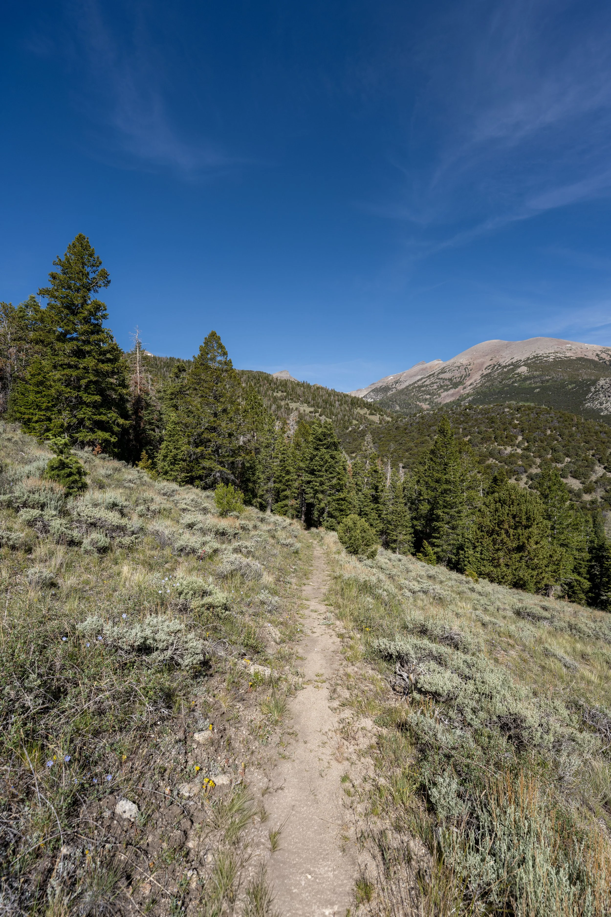
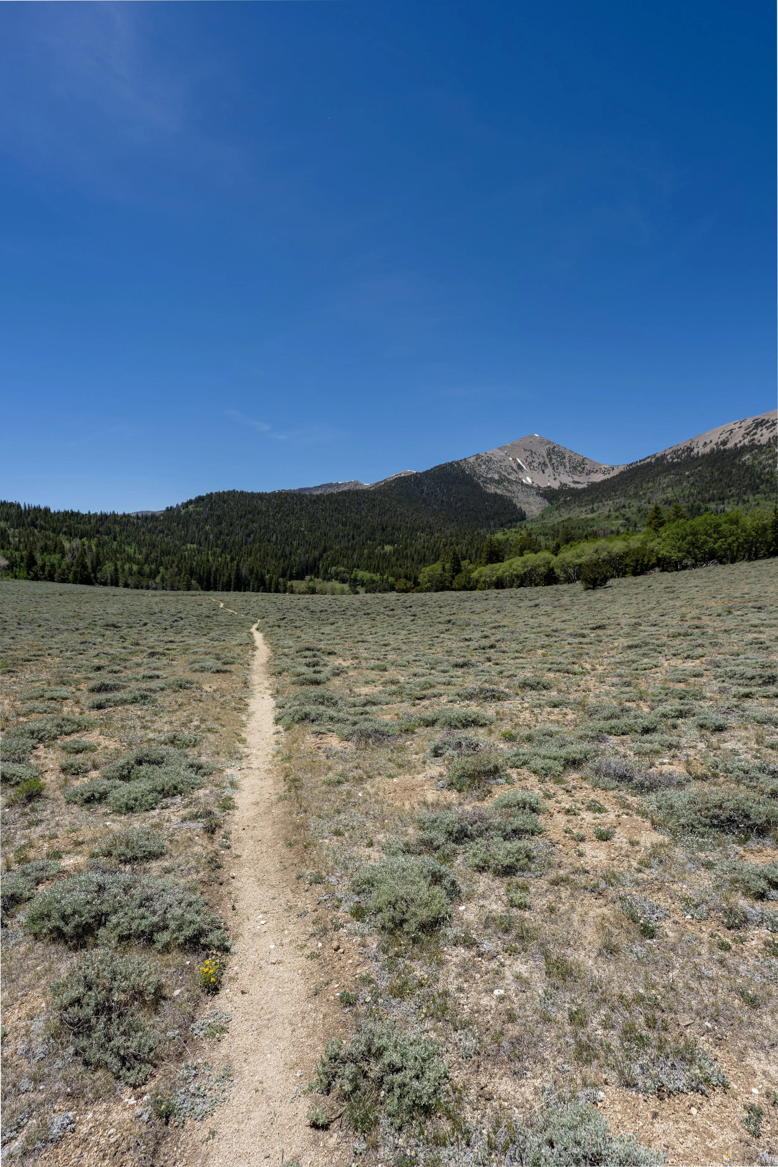
Since there is next to no shade on either side of the Sage Steppe Loop following the 2016 wildfire, I highly recommend wearing a hooded sun shirt to stay safe!
Just before the Sage Steppe Loop Trail crosses back over Strawberry Creek and meets the junction for the Upper Strawberry Trail, the loop passes a little-known junction on the right-hand side for the North Osceola Ditch Trail.
However, since the late 2000s, the North Osceola Ditch Trail that once led to the park boundary seems to have been lost to time and the wildfire and is no longer included in the park’s trail inventory.
Sage Steppe Loop-Upper Strawberry Junction
Immediately after crossing back over to the south side of Strawberry Creek, the Sage Steppe Loop reaches the beginning of the southern half that leads back to the Strawberry Creek Trailhead. Personally, I recommend taking this side on the way back if your plan is to continue up the Upper Strawberry Creek Trail from this point.
However, to stay on the Sage Steppe Loop Trail, go left at this split to begin the 0.6-mile (1.0 km) return hike to the Strawberry Creek Trailhead.
Read My Separate Post: Upper Strawberry Trail
The south side of the Sage Steppe Loop is very similar to the north, except that the trail more closely follows Strawberry Creek and, as a result, crosses from side to side.
That said, this is the half where I recommend looking for the native Bonneville Cutthroat Trout, which can often be seen from one of several bridges on the way back.
Since the Sage Steppe Loop is such a flat trail compared to the vast majority of hikes across the Snake Range, I believe it is one of the best easy places to trail run in Great Basin National Park!
If trail running is something you’re considering, I recommend using the shoes I have linked below, as they work well for both hiking and trail running on all the best adventures across Great Basin.
Sage Steppe Loop-Osceola Ditch Connector Junction
Just before the Sage Steppe Loop returns to the Strawberry Creek Trailhead, the trail passes a short connector trail that climbs up to the Osceola Ditch Trail.
However, since this part of the Osceola Ditch Trail is closed, this connection has been somewhat lost to time, much like the North Osceola Ditch Trail on the upper side of the loop.
Read My Separate Post: Osceola Ditch Trail
Strawberry Creek Trailhead
This is where the Sage Steppe Loop returns to the Strawberry Creek Trailhead on the Osceola Ditch side of the parking area.