Hiking the Baker Lake Trail in Great Basin National Park
Distance: 11.6 miles / 18.7 km
Elevation Gain: 2,610 ft. / 796 m
The Baker Lake Trail in Great Basin National Park is a long 5.8-mile (9.3 km) out-and-back trail that climbs its way up Baker Creek to a beautiful, secluded alpine lake beneath both Baker and Pyramid Peaks!
That said, the somewhat longer roundtrip distance is what divides hikers in terms of making the Baker Lake Trail a day hike or an overnight adventure, but when combined with the Johnson Lake Trail over the ridge, it is often treated as the first stop on a much longer multi-day loop.
In either case, the Baker Lake Trail is an almost entirely uphill adventure, unlike the hikes to both Stella and Teresa Lakes on the Alpine Lakes Loop Trail.
This is another reason the Baker Lake Trail is seldom chosen by first-time visitors to Great Basin National Park, making it one of the better trails near the Lehman Caves Visitor Center to enjoy a quiet day outside!
Baker Lake Trailhead Parking
Parking for the Baker Lake Trail is located at the Baker Creek Trailhead, the joint trailhead that serves several different day hikes and overnight adventures, including the Pole Canyon Loop Trail, the Timber Creek Loop Trail, the Baker Creek Loop Trail, and more.
That said, the Baker Creek Trailhead is not nearly as popular as the Bristlecone–Alpine Lakes Trailhead at the end of Wheeler Peak Scenic Drive, meaning that regardless of the hike you choose, it will almost always mean encountering very few, if any, other hikers.
Google Maps Directions: Baker Lake Trailhead
Hiking Checklist - Great Basin
Here is a complete list of must-have things that you will want for any hike in Great Basin National Park.
Hiking the Baker Lake Trail
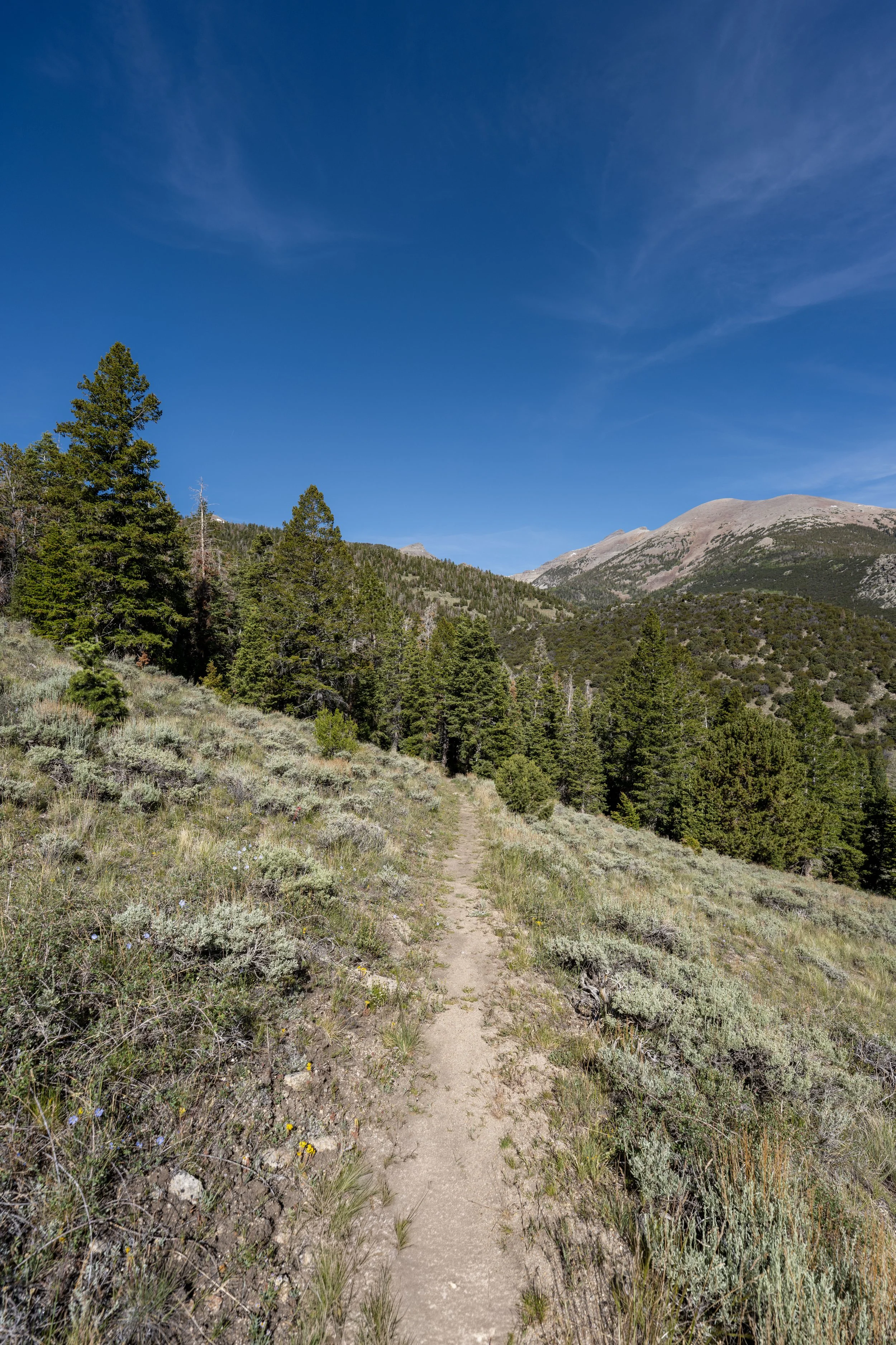
There are two different paths, or trailheads, that begin at the Baker Creek Trailhead, with the Baker Lake Trail located on the right.
North Baker Lake-Timber Creek Loop-Pole Canyon Loop Junction
The Baker Creek Trailhead is not only the beginning of the Baker Lake Trail, but also the Timber Creek Loop Trail, the Baker Creek Loop Trail, and the Pole Canyon Loop Trail, all of which can be read about in more detail in my separate articles linked below.
In any case, go straight at the Baker Lake Trailhead to begin the north side of the Baker Creek Loop Trail and the hike to Baker Lake.
Read My Separate Posts: Baker Creek Loop Trail / Timber Creek Loop Trail / Pole Canyon Loop Trail
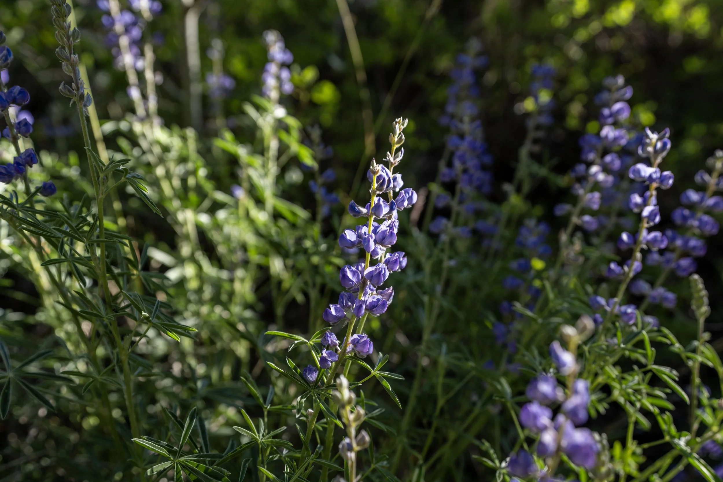
It’s always great to see Lupine growing across the Mountain West!
This is the first of three times the Baker Lake Trail crosses Baker Creek.
I mention this because the third crossing is located much closer to Baker Lake, at the end of the trail, which is why I think it’s something of a mental checkpoint to look forward to, given that much of the hike up to the lake can look the same.
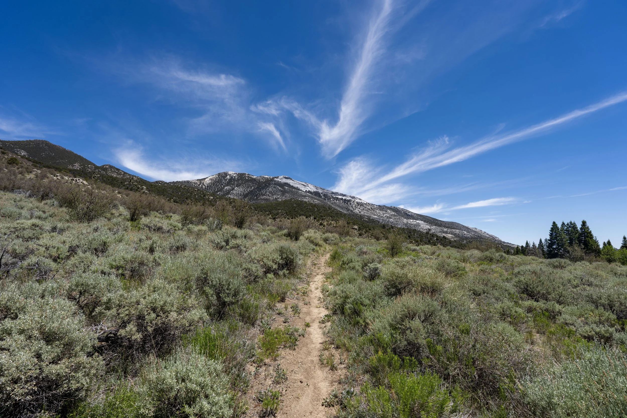
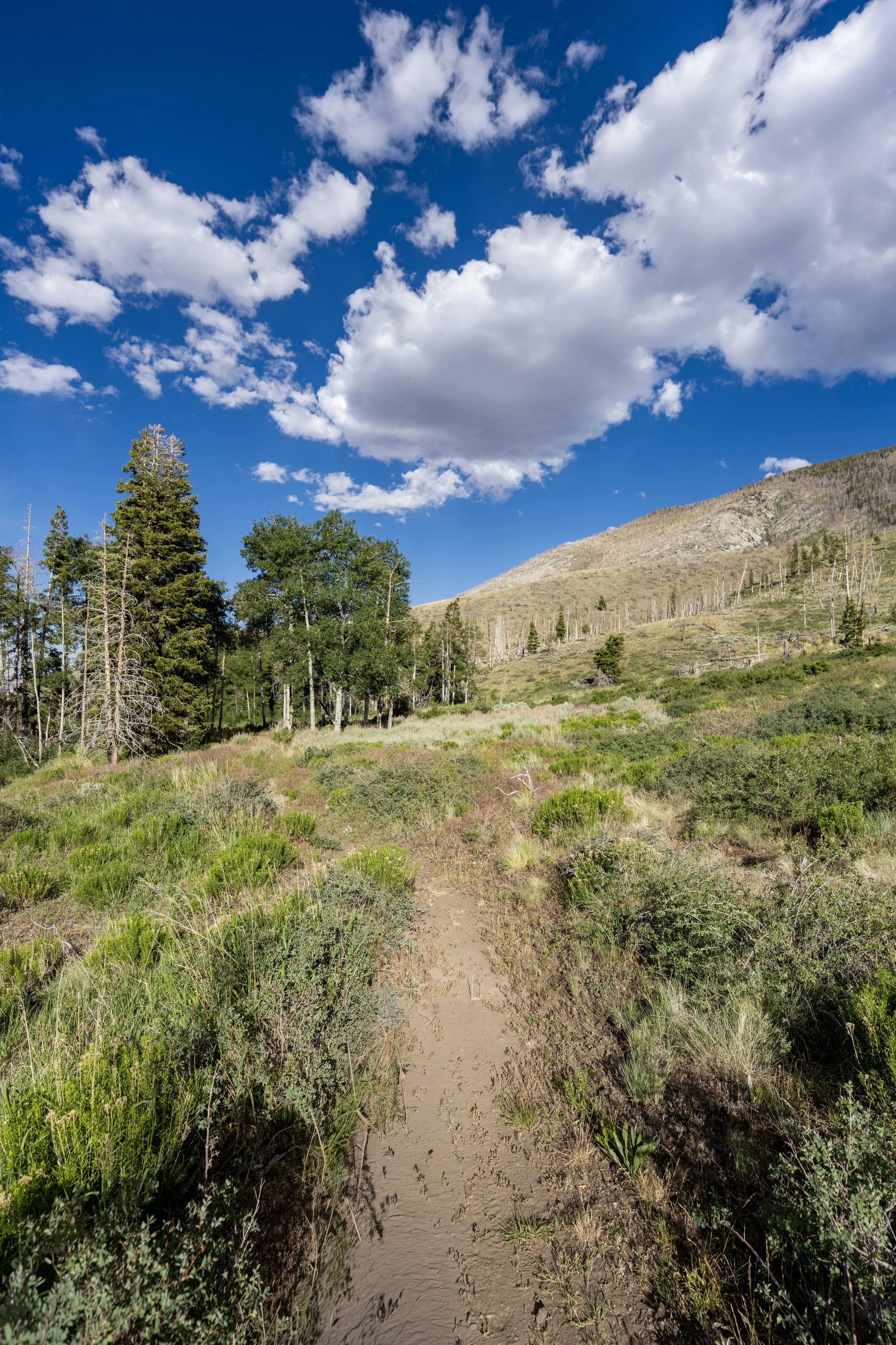
This is where the Baker Lake Trail begins a series of five switchbacks up the lower Sagebrush-covered slopes before returning to Baker Creek and the junction where the loop splits away.
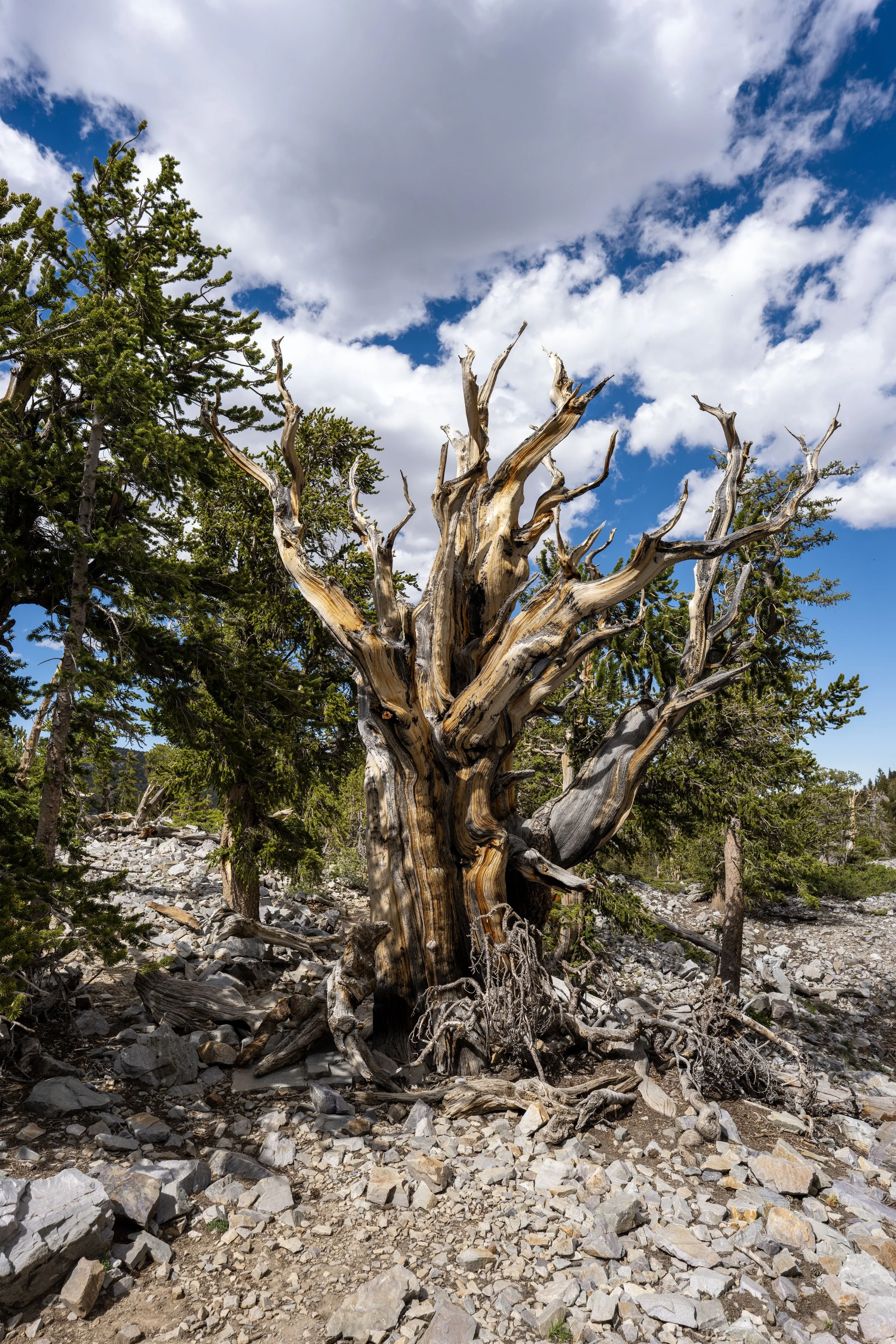
Since the Baker Lake Trail is such a long, high-elevation hike in Great Basin National Park, I highly recommend wearing a hooded sun shirt—something that I always say about every adventure across the Snake Range.
This is where the Baker Lake Trail turns the corner and starts paralleling Baker Creek, about 1.1 miles (1.8 km) from the Baker Creek Trailhead and roughly 0.5 miles (0.8 km) from the upper junction with the Baker Creek Loop Trail.
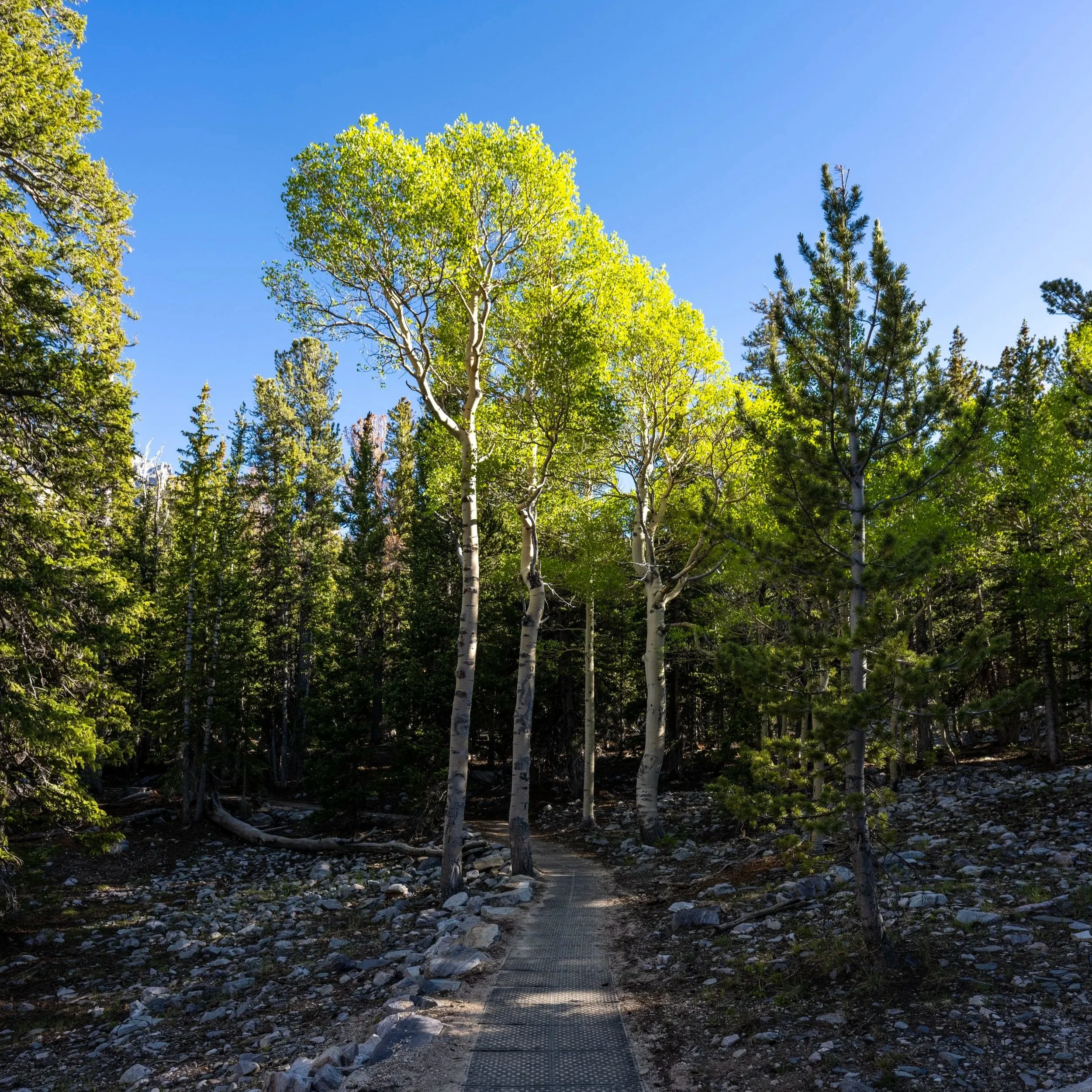
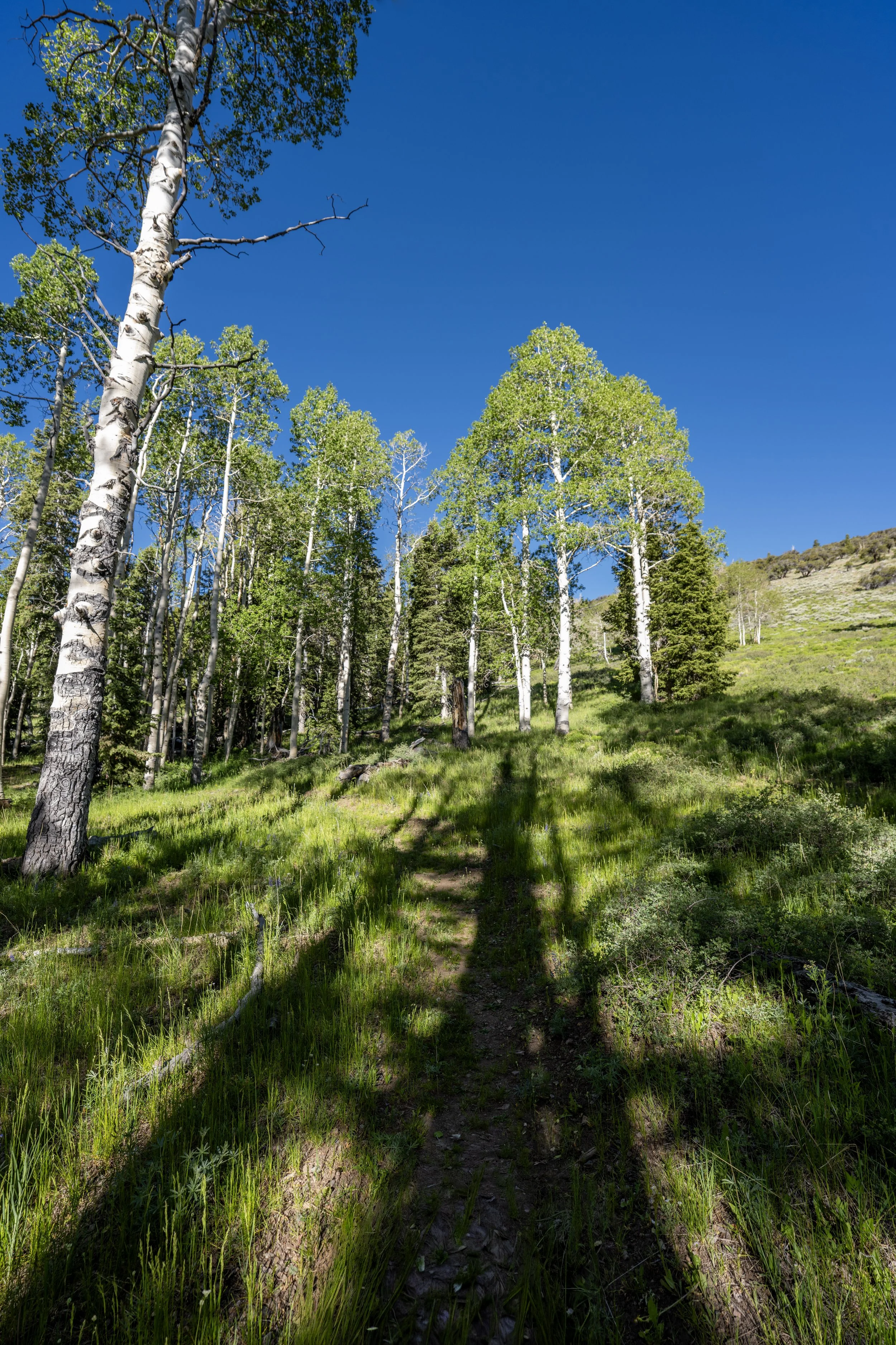
These vast stretches of Aspen trees here and across the Snake Range are what make Great Basin National Park a great destination for fall colors—and a hidden gem at that, as far fewer visitors come to this quiet little corner of the West compared to both Utah and Colorado.
Baker Lake-Baker Creek Loop Junction
After 1.6 miles (2.6 km), the Baker Lake Trail and the Baker Creek Loop Trail split from one another.
Once here, go right to continue hiking the Baker Lake Trail toward both Baker Lake and the connection with Johnson Lake over the ridge.
Read My Separate Post: Baker Creek Loop Trail
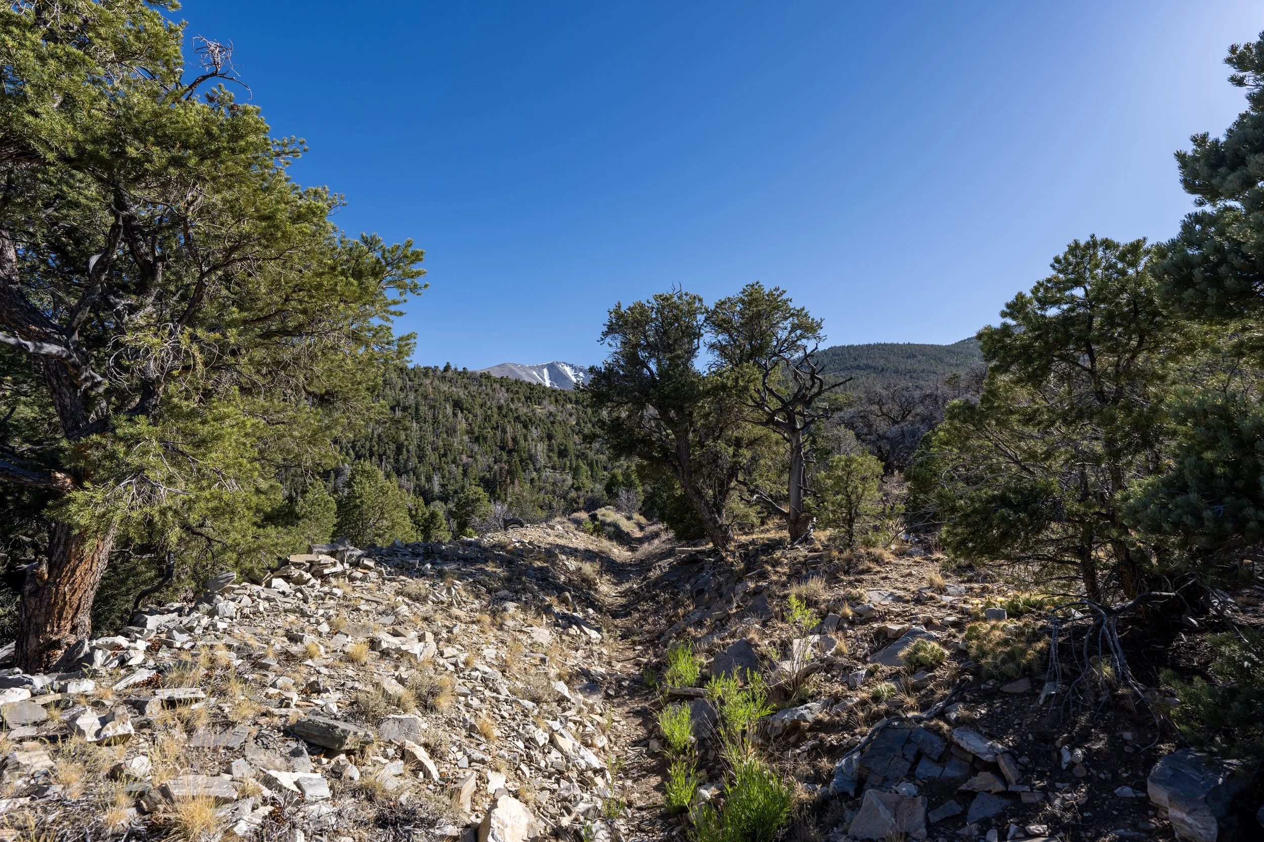
After the second Baker Creek Loop junction, there is roughly 4.0 miles (6.4 km) left before the Baker Lake Trail reaches Baker Lake.
I think it’s worth mentioning that, even though the Baker Lake Trail is almost entirely uphill—gaining roughly 2,620 ft. (799 m) over 5.8 miles (9.3 km)—the elevation gain is quite gradual because the trail is so windy.
However, the same cannot be said about a number of other trails that begin at the Snake Creek Trailhead over the ridge, which often climb much steeper, more direct hills, such as the Johnson Lake Trail and the Dead Lake Trail to name a few.
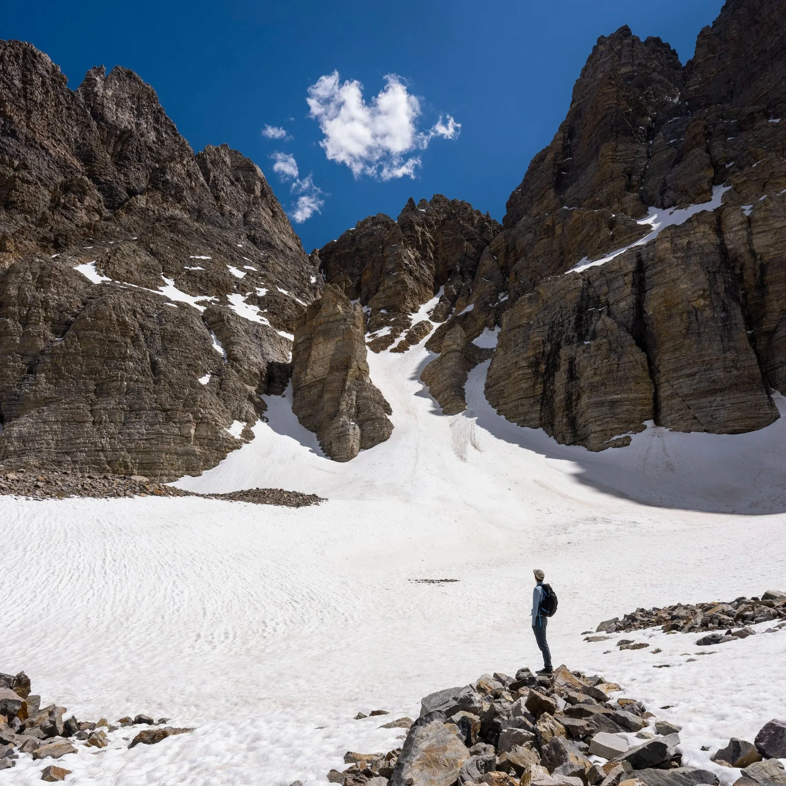
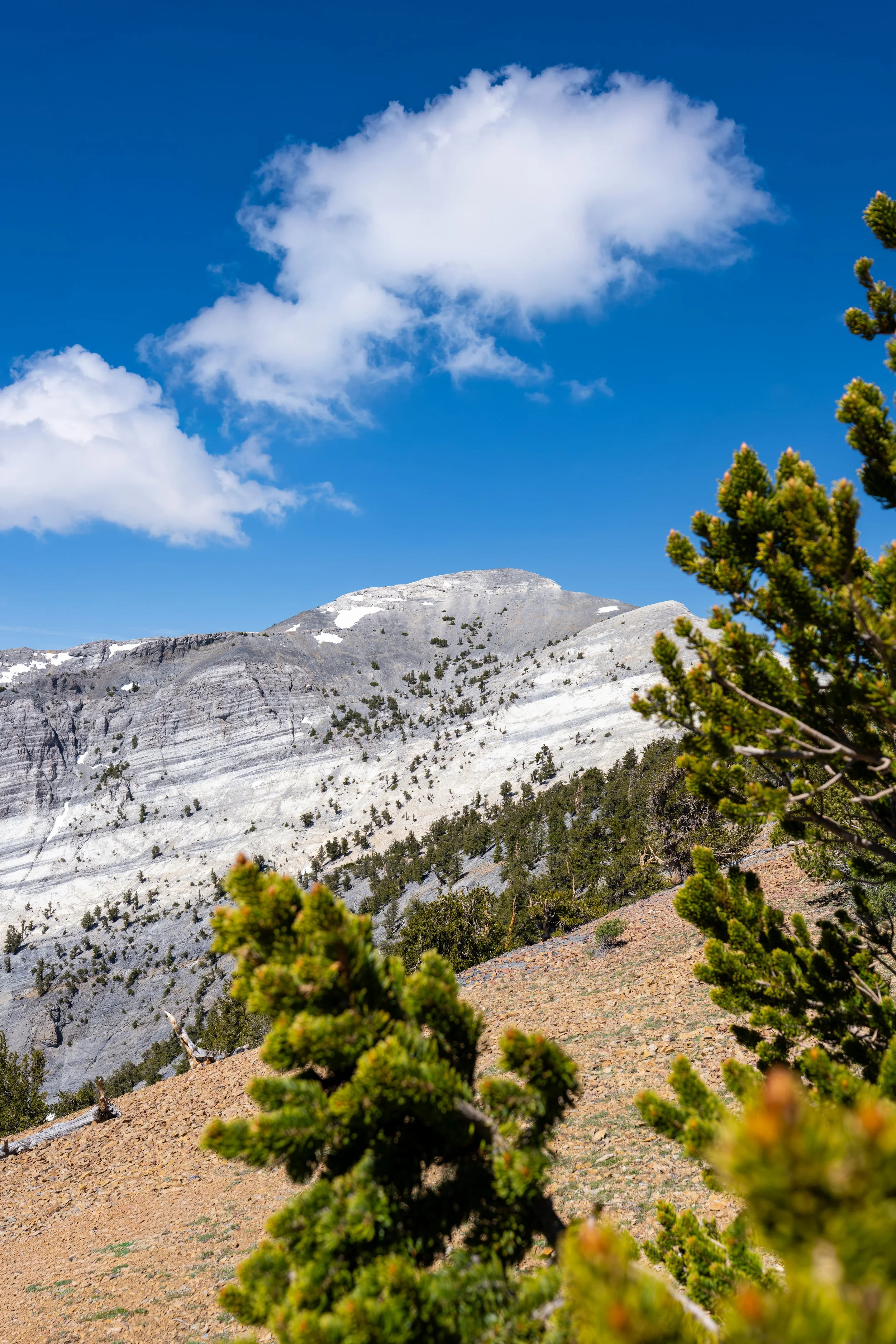
The peak that can be seen in the distance is the east summit of Baker Peak, while the true summit is located out of view from this point on the trail.
This creek crossing is not the second Baker Creek crossing, as previously mentioned.
Rather, it is nothing more than a small drainage from the north side of Baker Peak.
This sign does not indicate the route leading to Johnson Lake or any other split on the Baker Lake Trail.
Rather, it’s nothing more than a helpful mental indicator of how much farther there is until Baker Lake up the trail or the Baker Creek Trailhead when heading back down.
This is the second of three times the Baker Lake Trail crosses Baker Creek.
Even though I mentioned that the Baker Lake Trail is much more gradual than other similar day hikes across the Snake Range, the elevation change is nearly constant, which is why some hikers may want to use trekking poles on such a long adventure.
Something to keep in mind is that there are no bears in Great Basin National Park.
However, there are Mule Deer and Mountain Lions, with Mule Deer being sighted far more often across the Snake Range.
On one occasion, I actually heard a Mountain Lion in Great Basin, though I have never been fortunate—or unfortunate—to see one!
This hard switchback is located at almost exactly 9,900 ft. (3,018 m).
This is where the Baker Lake Trail crosses above 10,000 ft. (3,048 m), meaning there is only about 620 ft. (189 m) left to gain on the hike to Baker Lake.
This is the third and final time the Baker Lake Trail crosses Baker Creek.
After the third Baker Creek crossing, there is roughly 1.4 miles (2.3 km) left before reaching Baker Lake.
These are the final 10 switchbacks between the third Baker Creek crossing and Baker Lake.
Once again, I highly recommend wearing a hooded sun shirt for this and all day hikes across Great Basin National Park—especially those at elevations as high as the Baker Lake Trail.
This is where the Baker Lake Trail turns the final switchback before Baker Lake.
Baker Lake-Johnson Lake Junction
Just steps before Baker Lake, the Baker Lake Trail passes the junction for Johnson Lake.
That said, the trail between the two lakes is roughly 1.5 miles (2.4 km) total, but it’s the steep climb up and over the saddle that makes it more challenging than the distance alone.
In any case, go straight at this split to continue hiking toward Baker Lake, which will open up on the far side of the trees just ahead!
Read My Separate Post: Johnson Lake Trail
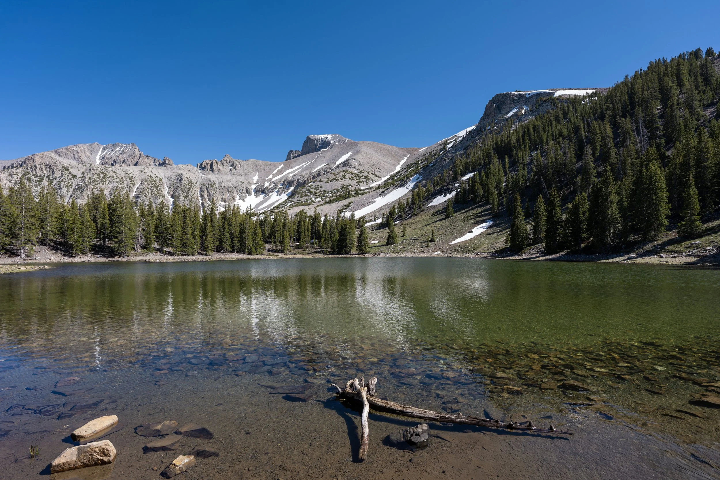
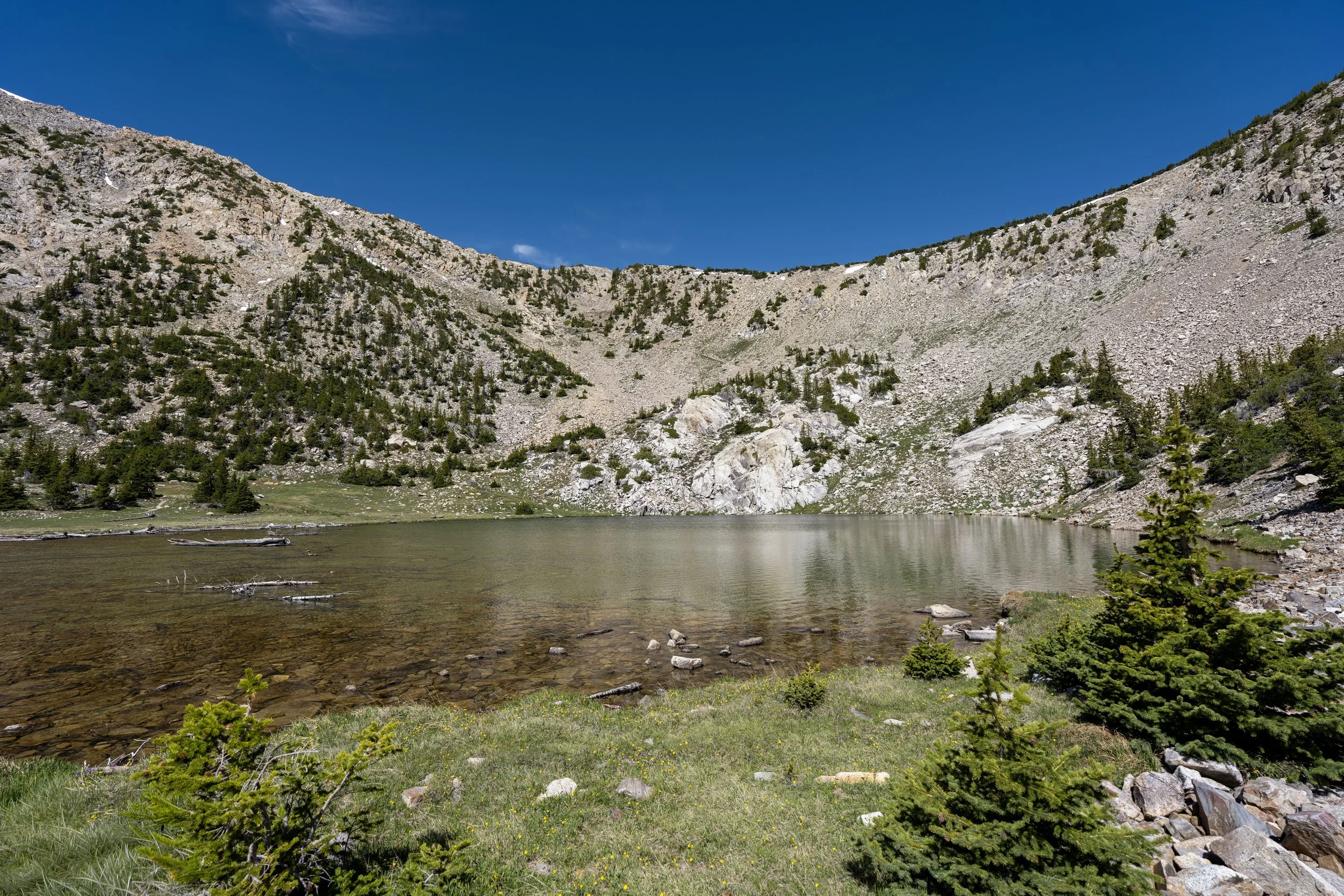
Baker Lake
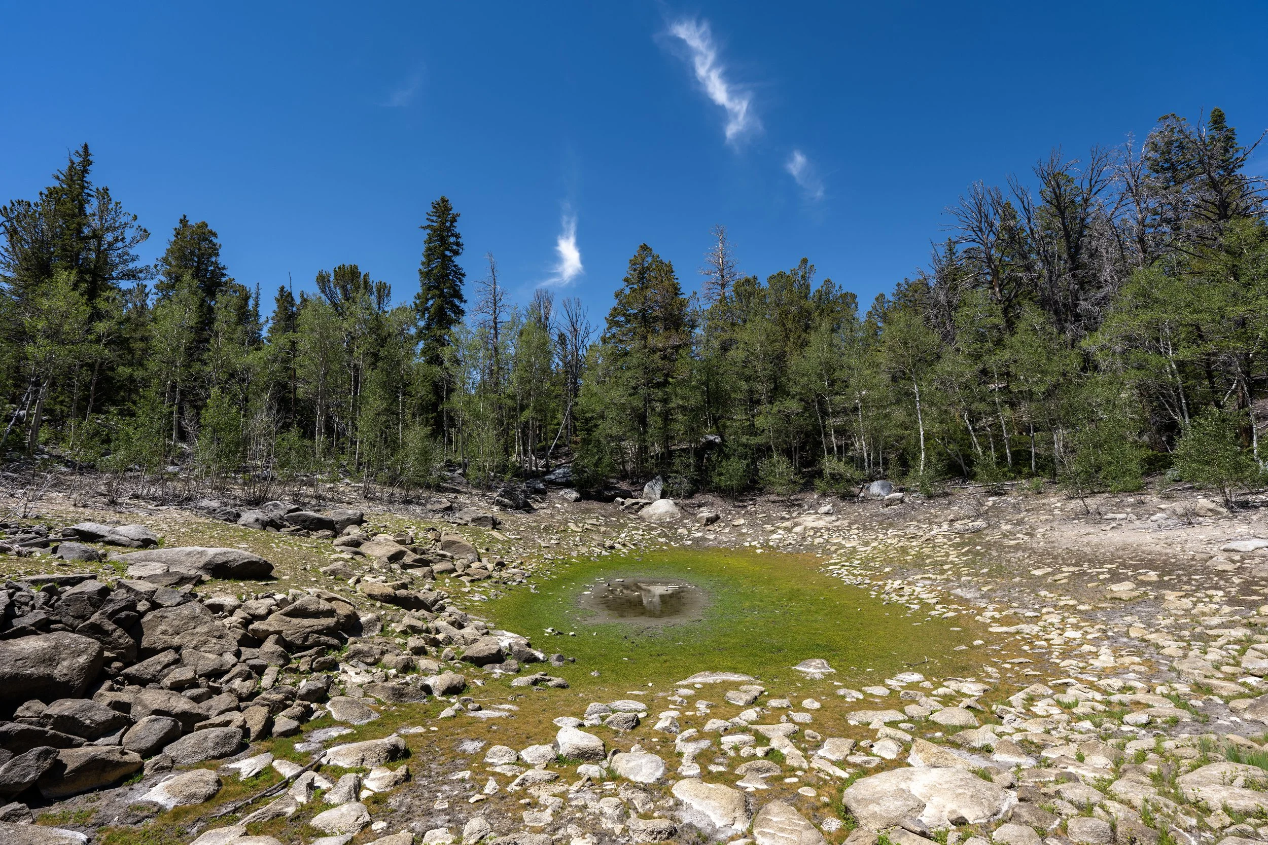
This is the beginning of Baker Lake, a roughly 3-acre (12,141-square-meter) lake fed primarily by snowmelt.
This is exactly why many of the lakes in Great Basin National Park do not maintain the same water level throughout the entire summer.
However, these photos are from mid-June, after a very low winter snowpack, which hopefully helps to show just how much Baker Lake can shrink from what would normally be a much larger body of water.
This would normally be underwater during the late spring and early summer months.
This is Baker Lake, and it is one of only two lakes in Great Basin National Park with a native fish population, the other being Johnson Lake, just on the other side of Pyramid Peak.
That said, the native Bonneville Cutthroat Trout are strictly managed under catch-and-release regulations in Great Basin, but it is still cool that fishing is even allowed in such a fragile, isolated environment as the Snake Range!