Hiking the Dead Lake Trail in Great Basin National Park
Distance (One Way to Dead Lake): 2.0 miles / 3.2 km
Distance (One Way to Johnson Lake Junction): 2.6 miles / 4.2 km
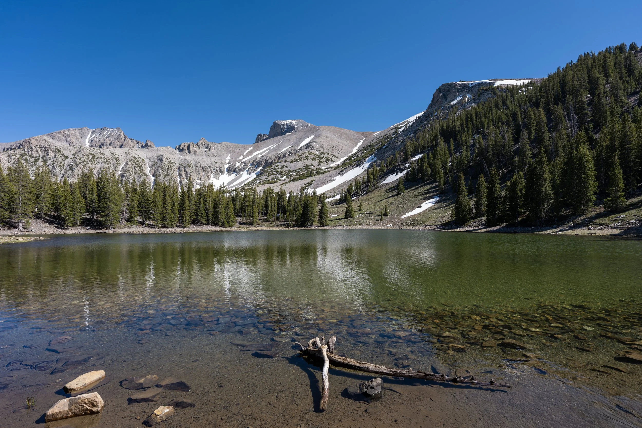
The Dead Lake Trail in Great Basin National Park is a unique day hike in the Snake Creek Basin that climbs its way to what is typically a dry, or 'dead,' lake beneath the much more popular Johnson Lake, farther up the trail.
To that point, the Johnson Lake Trail and the Dead Lake Trail parallel one another and eventually meet again exactly 2.6 miles (4.2 km) from where they both began at the Snake Creek Trailhead.
This is why I believe either route should be considered if your goal is to hike as far as Johnson Lake, although it is also very common to create a loop by hiking up one side and down the other.
All that being said, this article is specifically about the Dead Lake Trail via Snake Creek and ends where the trail meets the Johnson Lake Trail, roughly 1.3 miles (2.1 km) below Johnson Lake.
Dead Lake Trailhead Parking
Parking for the Dead Lake Trail is located at the Snake Creek Trailhead—the trailhead at the very end of Snake Creek Road—about 12.2 miles (19.6 km) from Highway 487 near the Nevada–Utah state line.
The Snake Creek Trailhead is the joint trailhead that serves several different day hikes and overnight adventures, including the Johnson Lake Trail, the Snake Creek Overlook Trail, the Snake Divide Trail, and more.
Google Maps Directions: Dead Lake Trailhead
Hiking Checklist - Great Basin
Here is a complete list of must-have things that you will want for any hike in Great Basin National Park.
Hiking the Dead Lake Trail
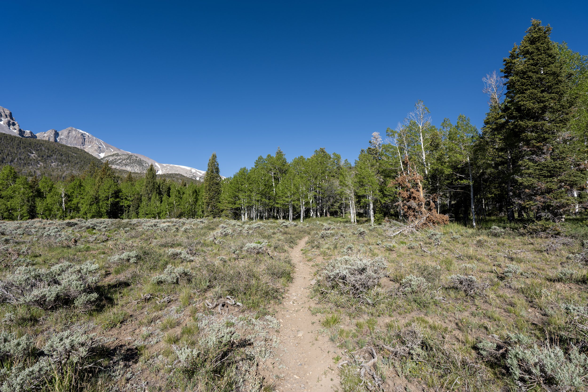
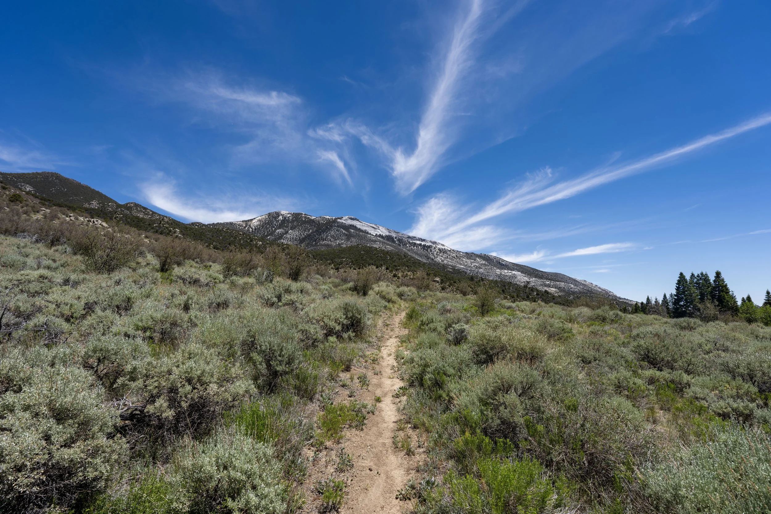
The Dead Lake Trail begins on the south side of the Snake Creek Trailhead, where it follows the Shoshone Trail for just a few steps before branching off to begin climbing up the Snake Creek Basin.
Dead Lake-Shoshone (Snake Divide) Junction
After a short walk, the Dead Lake Trail leaves the Shoshone Trail, more commonly known as the route that leads up to Magic Grove on the Snake Divide Trail.
That said, go right to leave the Shoshone Trail and begin the official Dead Lake Trail.
Read My Separate Post: Snake Divide Trail
Dead Lake-Snake Creek Overlook Junction
Then, just 0.1 miles (0.2 km) from the previous junction, the Dead Lake Trail splits one final time before it truly begins climbing the steep slopes of Snake Creek Basin toward Dead Lake.
This split is the beginning of the Snake Creek Overlook Trail, which is by far the easiest and shortest day hike out of Snake Creek, as every other trail is much longer and steeper in comparison.
In any case, go straight (right) at this split to continue up the Dead Lake Trail toward both Dead Lake and Johnson Lake beyond.
Read My Separate Post: Snake Creek Overlook Trail
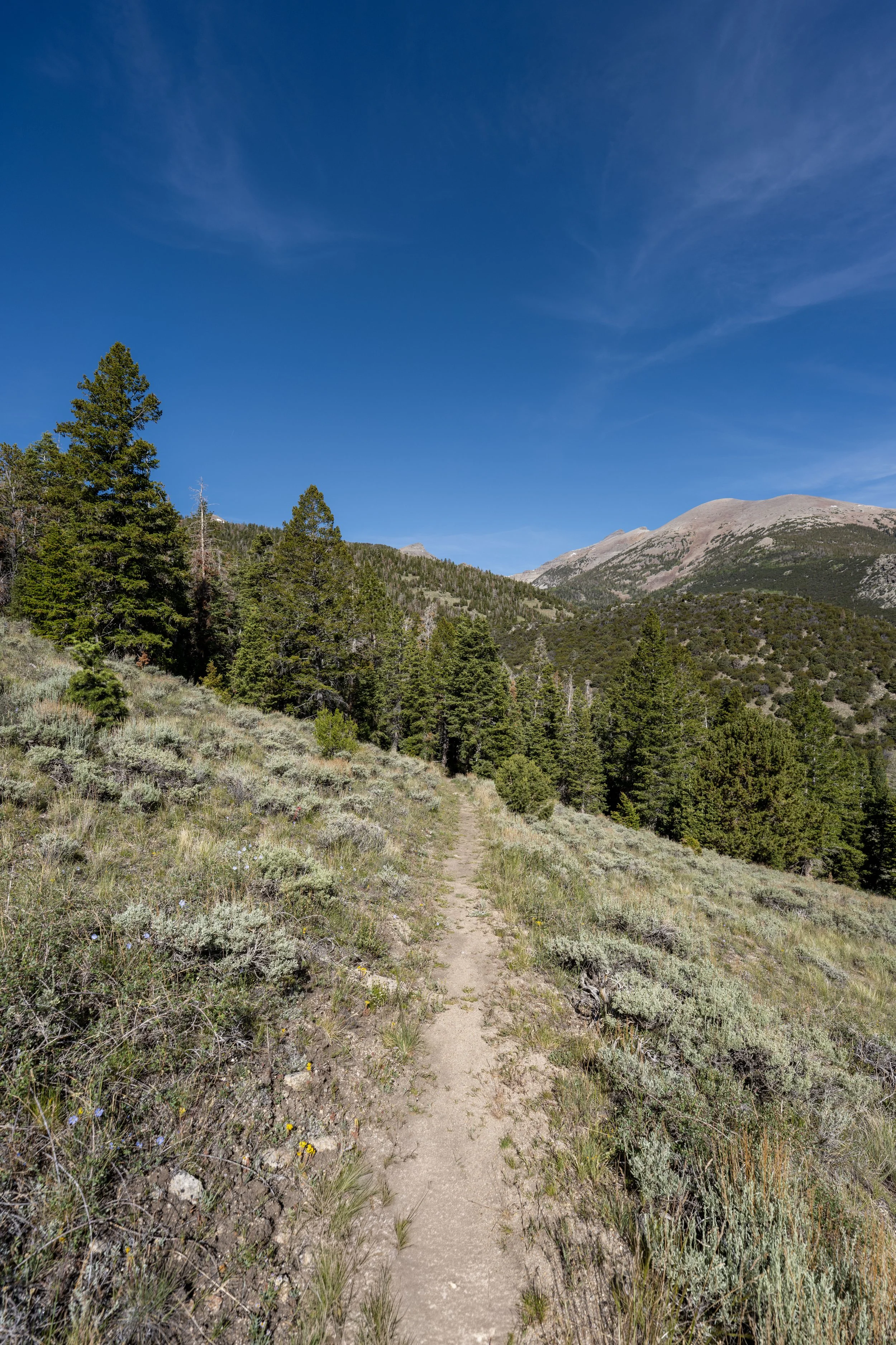
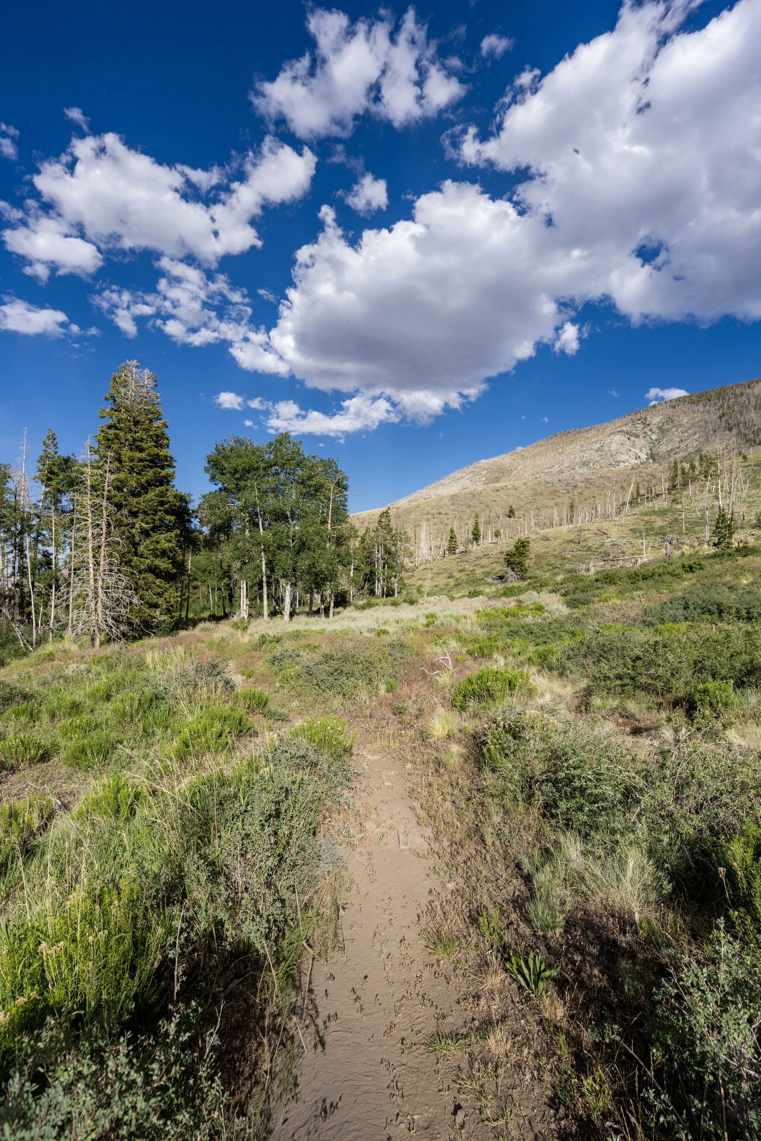
After both junctions at the very beginning of the hike, the Dead Lake Trail begins a somewhat long, 1.9-mile (3.1 km) ascent from this point to Dead Lake.
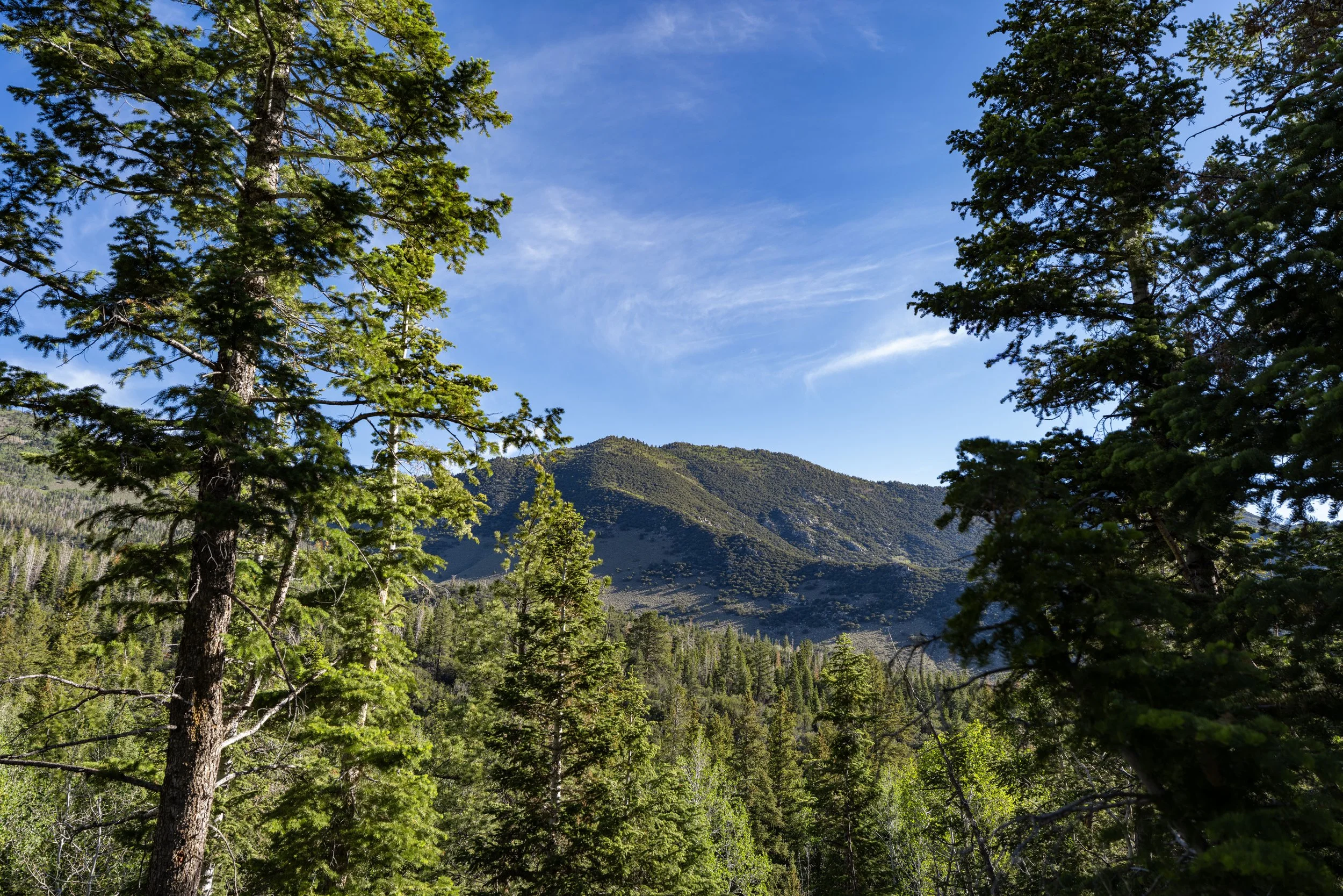
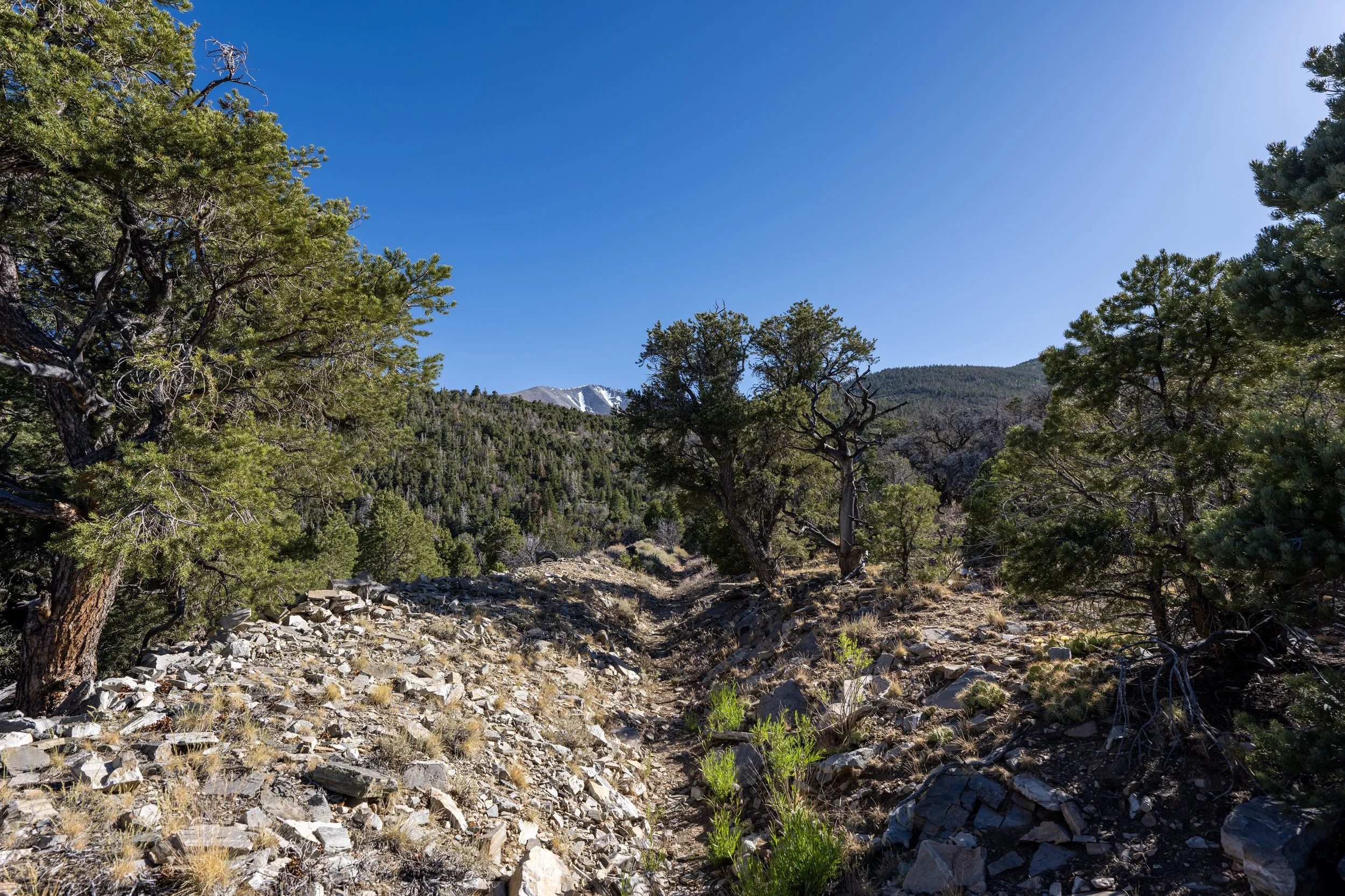
I say "long" because there aren’t many views on this steep climb, making it feel much more like a workout than anything else—especially when compared to the more open, parallel Johnson Lake Trail on the other side of the creek.
Since there is so much time spent in the sun when hiking up to Dead Lake—or, truly, any trail in Great Basin National Park, for that matter—I highly recommend wearing a hooded sun shirt to stay safe!
In addition to a good sun shirt, some hikers may want to bring trekking poles because of all the elevation change on the hike up to Dead Lake.
This is especially true if you plan to continue farther to Johnson Lake, as the hike beyond the end of the Dead Lake Trail becomes even steeper than everything up to the Johnson Lake junction.
This is exactly what I meant when I previously said the Dead Lake Trail feels long, as there is so much time spent in the trees compared with other neighboring day hikes in the basin.
With about 0.4 miles (0.6 km) left before the lake, the Dead Lake Trail levels out considerably compared to the first 1.6 miles (2.6 km) to get to this point!
This is where the Dead Lake Trail crosses the South Fork of Johnson Creek for the first and only time on the hike up to Dead Lake.
Dead Lake
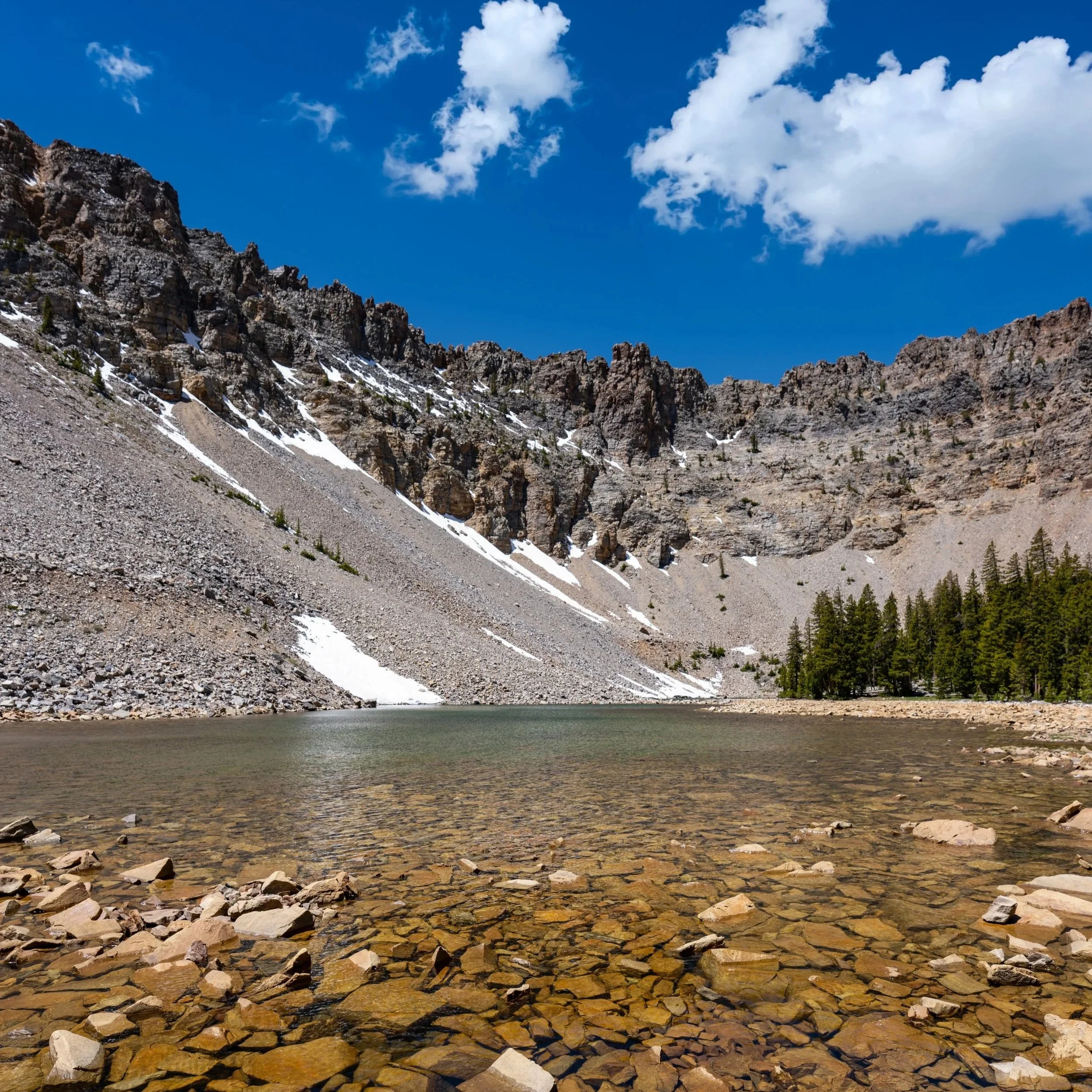
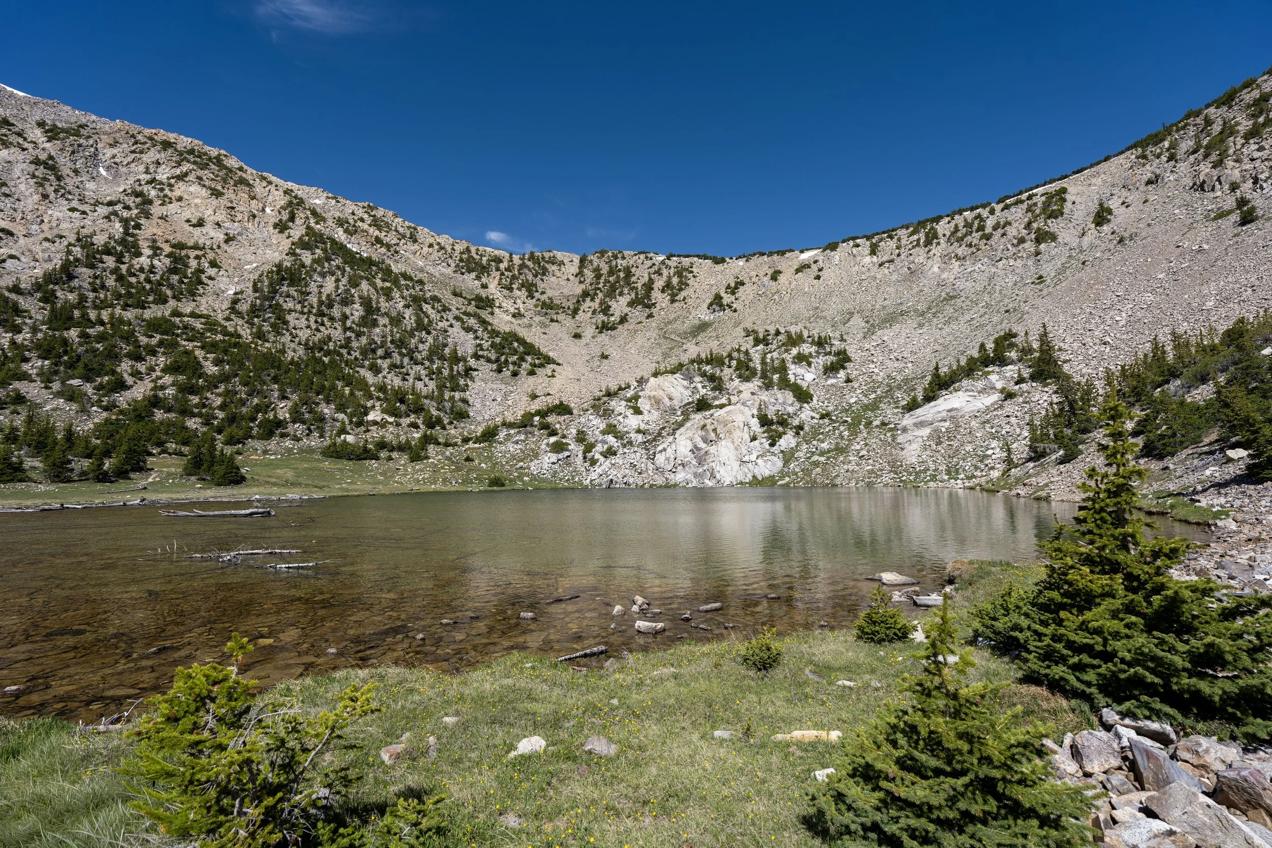
After 2.0 miles (3.2 km), the Dead Lake Trail finally reaches Dead Lake, a very small alpine lake, or tarn, fed entirely by snowmelt—hence the lake’s name—as it typically dries considerably in the late summer months from its early summer peak!
These photos might seem as though they were taken in August or September.
However, they were taken in mid-June, following one of the worst snowpacks the Snake Range has ever experienced in recorded history!
In fact, a longtime ranger I met on the trail told me that this is the lowest and driest he has ever seen Dead Lake at this point in the season!
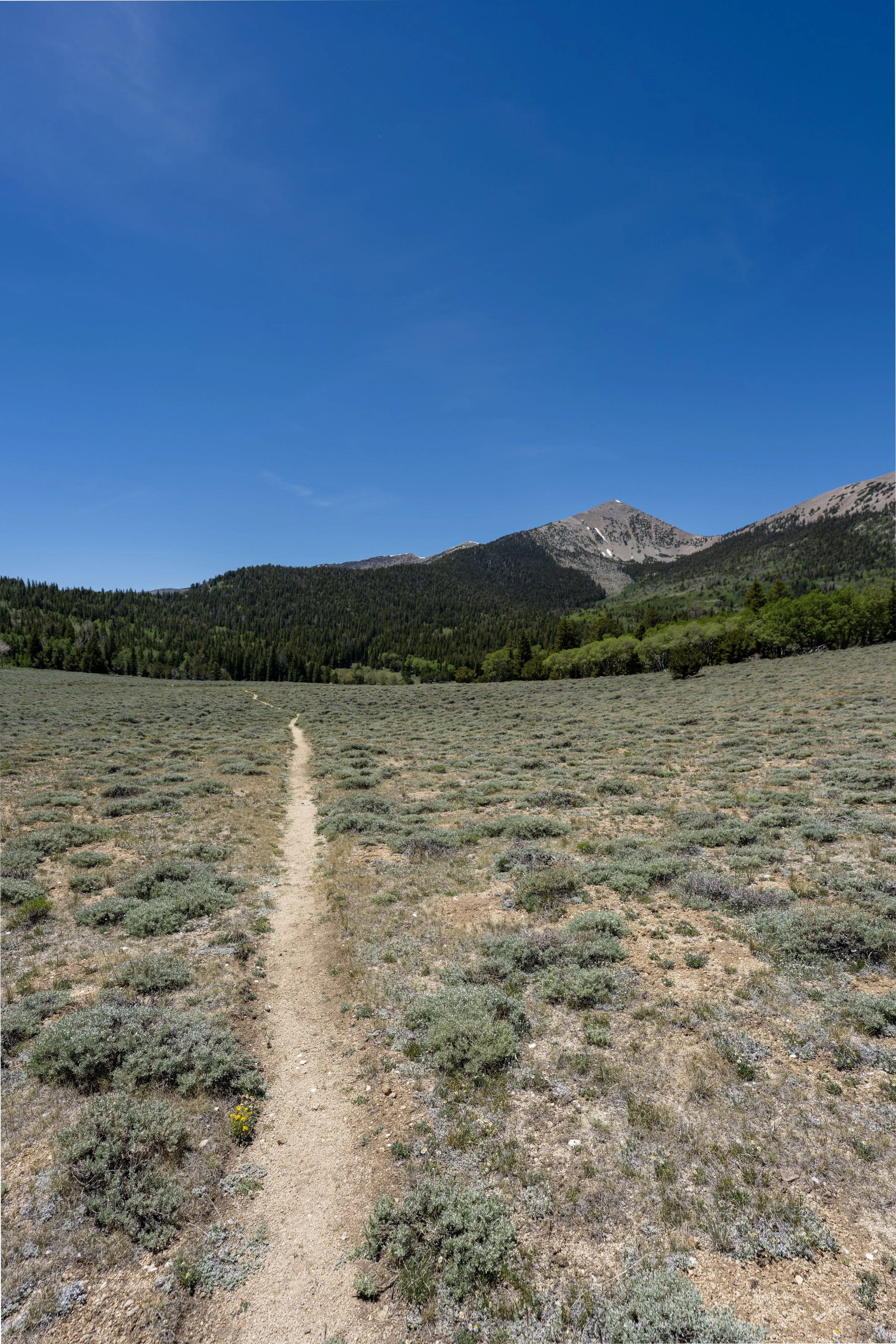
After reaching Dead Lake, many hikers choose continue farther toward the Johnson Lake Trail, as shown here.
This final section between Dead Lake and the Johnson Lake Trail is roughly 0.6 miles (1.0 km).
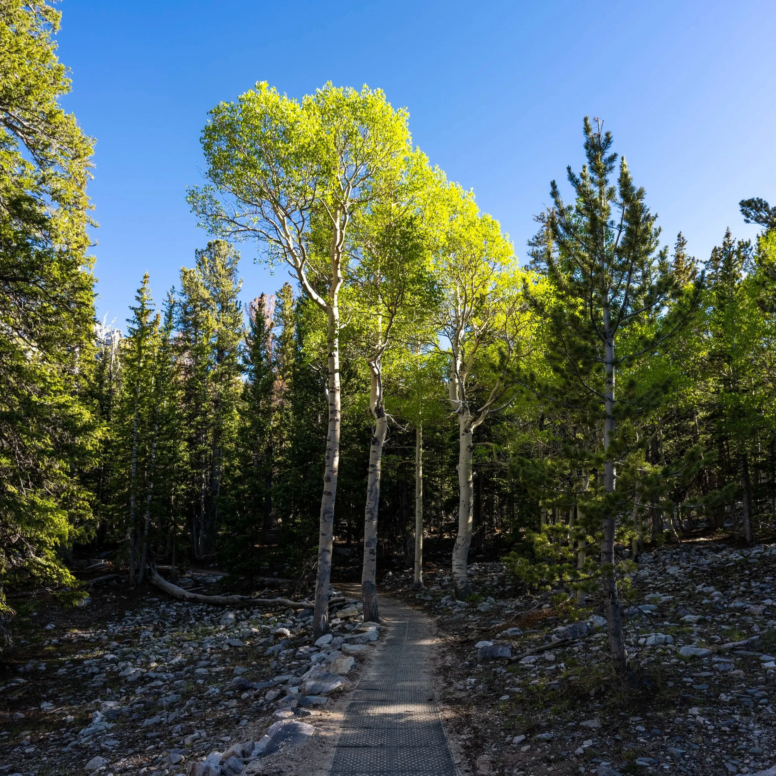
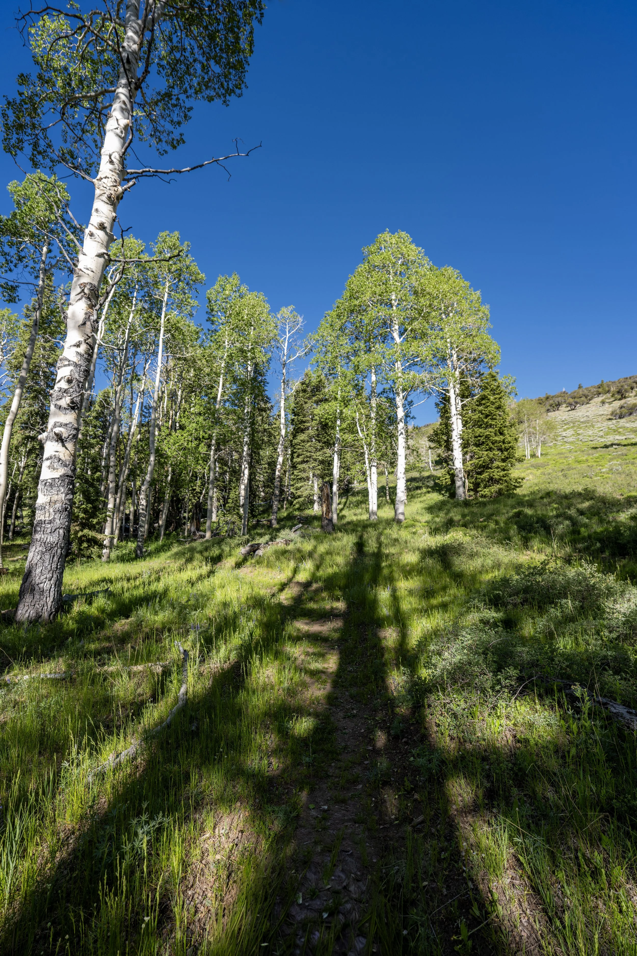
I think it’s worth highlighting that all the light green trees on the hillside in the photo below are Aspens that, come fall, turn from green to gold—which is why Great Basin National Park is such an amazing destination for enjoying fall colors without the crowds!
Dead Lake-Johnson Lake Junction
This is the end of the Dead Lake Trail and the 2.6-mile (4.2 km) mark on the Johnson Lake Trail.
That said, the junction is also 2.6-mile (4.2 km) mark on the Dead Lake Trail, which is why taking either route on the hike up to Johnson Lake is worth considering!
To learn more about the rest of the hike to Johnson Lake, all the details can be found in my separate article linked below, and remember, the Johnson Lake Trail from this point to the lake is much steeper than everything hiked thus far, which is why some hikers may want to bring trekking poles.
Read My Separate Post: Johnson Lake Trail