Hiking the Lexington Arch Trail in Great Basin National Park
Distance: 5.6 miles / 9.0 km
The Lexington Arch Trail in Great Basin National Park is a fun and very beautiful day hike that climbs its way up to a towering 50-ft. (15 m) limestone arch hidden among the park’s southernmost foothills!
While remote, the Lexington Arch Trail is not a difficult adventure, or at least not compared to other, much longer and steeper adventures, like the Snake Divide Trail. I believe this even considering the current trailhead today is quite a bit farther from the former trailhead, which I discuss in more detail below.
That aside, I strongly believe the Lexington Arch Trail is one of the best things to do in Great Basin National Park—the same as I feel for the Glacier Trail beneath Wheeler Peak!
On a different note, the Lexington Arch Trail is the only pet-friendly trail in Great Basin National Park, though this is something I’ve never personally understood, given that there are no bears in the Snake Range.
Lexington Arch Trailhead Parking
Parking for the Lexington Arch Trail is located near the end of Lexington Arch Road, about 10.5 miles (16.9 km) from Highway 21.
That said, do not take any other route to the Lexington Arch Trailhead than Lexington Arch Road. I have made this mistake before, and trust me, the best route is the route marked by the big Lexington Arch sign off the highway.
Google Maps Directions: Lexington Arch Trailhead
Hiking Checklist - Great Basin
Here is a complete list of must-have things that you will want for any hike in Great Basin National Park.
Hiking the Lexington Arch Trail
The Lexington Arch Trail begins by continuing up Lexington Arch Road from the large parking area shown above.
That said, the current parking area was once considered a temporary solution following a large 2013 wildfire that consumed much of the area surrounding Lexington Creek.
However, the once-temporary trailhead has since become permanent, on account of countless flash floods that have made managing the road a challenge, which is why it is no longer maintained past this point today.
Warning
These photos do a bad job of showing the true condition of the road past the parking area.
I say this because if you attempt to drive farther in an effort to cut out some of the trail, it’s very likely you won’t make it more than 0.1 - 0.2 miles (0.2 - 0.3 km).
The road really is that rough, even though it may look manageable in these photos!
If you decided to drive past the trailhead despite my warning and those from the Bureau of Land Management (BLM), this is where you’ll likely start having difficulty—or, if not here, in just a few more steps.
The most similar comparison I can think of is how deceptive Lake Como Road to Blanca Peak is outside of Great Sand Dunes National Park in Colorado.
Over there, Lake Como Road seems as if it will let you cut miles off the hike, but it doesn’t take long before you start thinking about how bad the road is for your car!
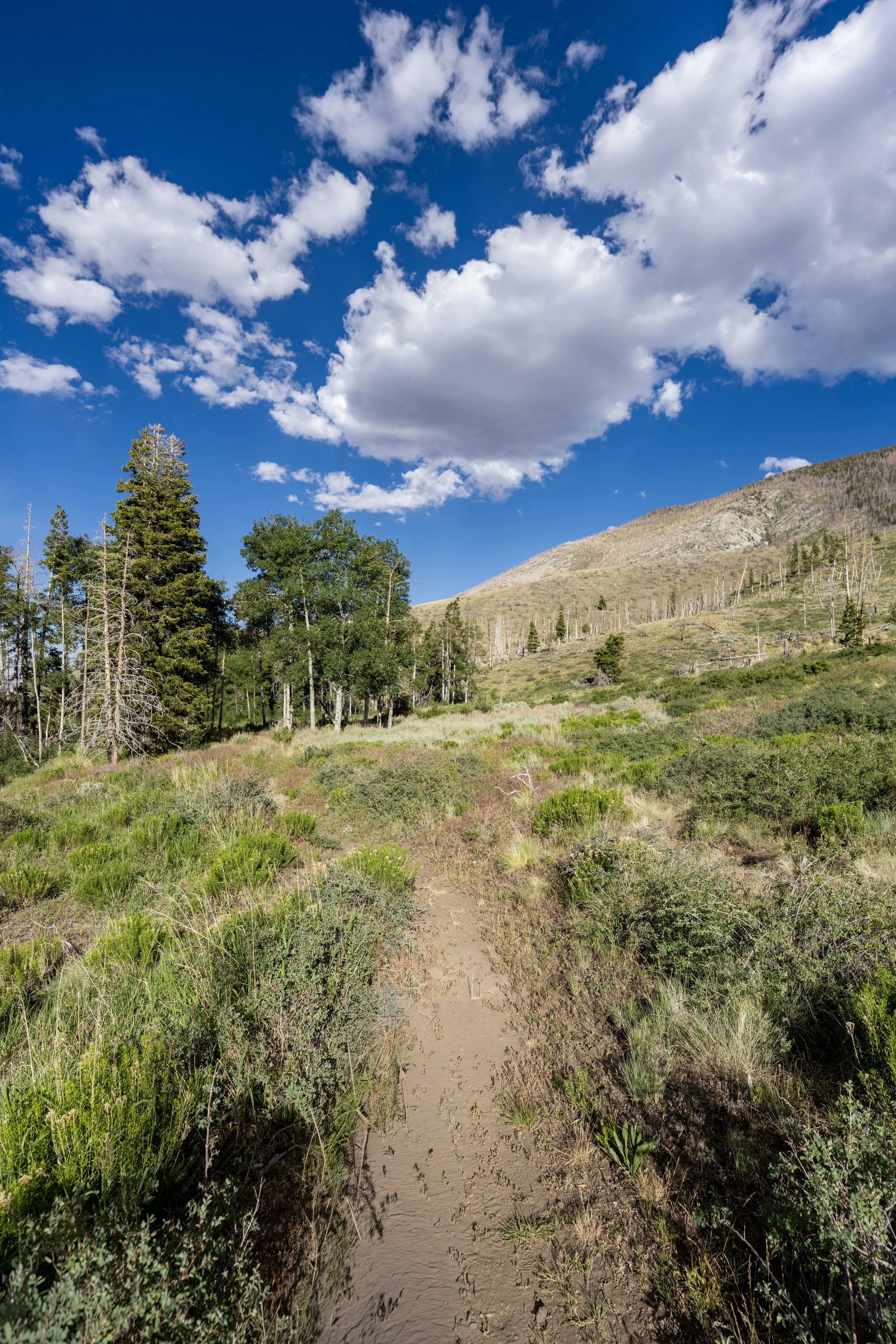
After 0.25 miles (0.4 km), Lexington Arch Road drops down into the South Fork of Lexington Creek for the first of many times on the hike up to the switchbacks.
This is what can be thought of as the end of the road and the beginning of the trail, as countless flash floods over the years have essentially washed away anything that could be considered drivable from this point on.
This is where the Lexington Arch Trail climbs up and out of the typically dry wash on the right-hand side.
Even though the trail may look like a road, I think it’s safe to say no one is driving this far—at least not those that actually care about their vehicle!
This is the second time the Lexington Arch Trail drops down into the wash, but this time, the trail will climb back out on the left-hand side shortly ahead.
At this point, where the Lexington Arch Trail meets the wash for the third time, there’s either the option to cross and follow the trail on the right-hand side or walk straight up the wash.
I personally recommend walking directly up the wash if it’s dry because I think it’s a bit easier and more straightforward.
This is where the Lexington Arch Trail climbs out of the wash on the left-hand side, which is also the point where the actual trail on the right-hand side would have crossed if I had chosen to walk that way.
Considering that there are Rattlesnakes in the Snake Range, be sure to watch your step in more overgrown areas like this!
What was the 2013 Black Fire?
The Lexington Creek Basin today shows the remnants of a 2013 wildfire, known as the Black Fire, that burned roughly 4,900 acres (19.8 square km).
The Black Fire was a lightning-ignited fire that began on July 1, 2013, and burned for just over two months before it was fully contained in early September of the same year.
Old Lexington Arch Trailhead
This is approximately the 1.0-mile (1.6 km) mark from the 'new' trailhead today, which is the site of the former Lexington Arch Trailhead prior to the 2013 Black Fire.
That said, the old Lexington Arch Trail used to be 1.8 miles (2.9 km) each way, compared to the 2.8-mile (4.5 km) hike today!
Shortly after the former trailhead, Lexington Arch can be seen in the distance for the first time!
This bridge is a nice sign that the start of the switchbacks is not far ahead!
This is the start of the 12 switchbacks up the Lexington Arch Trail, before the first viewpoint at the bench just outside the National Park boundary.
From this point to the bench, the switchbacks gain roughly 775 ft. (236 m) over the next 1.3 miles (2.1 km).
There is hardly any shade on the Lexington Arch Trail, which was true even prior to the months long 2013 wildfire.
This is why I strongly recommend hiking in a hooded sun shirt, especially considering the high elevation above both 7,000 and 8,000 ft. (2,134 and 2,438 m) on the trail.
Since there is quite a bit of elevation change on the Lexington Arch Trail, both up to the first viewpoint and over the course of the steep descent and ascent to the arch, some hikers may want to bring trekking poles.
This is the 12th and final switchback before the bench, located about 0.4 miles (0.6 km) from this point.
Lexington Arch Bench
After about 2.4 miles (3.9 km), the Lexington Arch Trail comes to this bench and viewpoint, just before the final section up to the arch.
For some, this viewpoint is the end of the hike, but if you’ve made it this far, I strongly recommend continuing to the end because it is so close and so rewarding to stand beneath the towering arch—and yes, these photos do not do it justice!
Shortly after the bench, the Lexington Arch Trail begins descending to the drainage below.
This descent is one of the more tedious sections of the entire hike because everything lost will have to be regained, and then some, to get up to the arch and then repeated on the way back out.
However, I still strongly recommend finishing the hike because Lexington Arch is just that cool!
Great Basin National Park Boundary
This is where the Lexington Arch Trail crosses the Great Basin National Park boundary for the first time, roughly 2.5 miles (4.0 km) from the trailhead.
This is the bottom of the short 0.1-mile (0.2 km) descent following the bench.
After the bridge, the Lexington Arch Trail begins climbing a series of seven very short switchbacks up the steep slope behind the arch.
This ascent gains roughly 175 ft. (53 m) in just under 0.2 miles (0.3 km).
Lexington Arch
After a very short but steep hike up the back side of the arch, the Lexington Arch Trail comes to an end beneath the towering 50-ft. (15 m) arch, which is reported to stand as tall as 200 ft. (61 m), given the entire height of the limestone outcropping!
That said, photos of the arch do not do a good job of showing just how big it actually is, and I say this because visiting and seeing it for yourself is the only way to grasp the scale of how huge the Lexington Arch truly is!