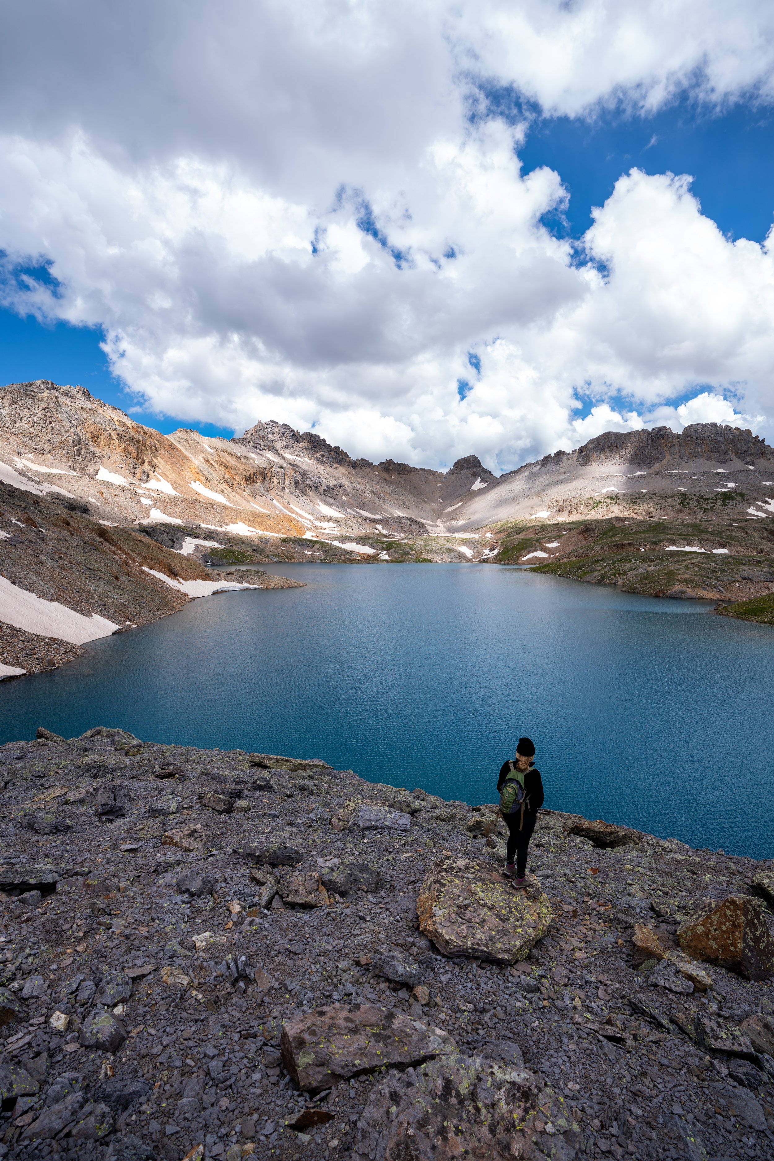
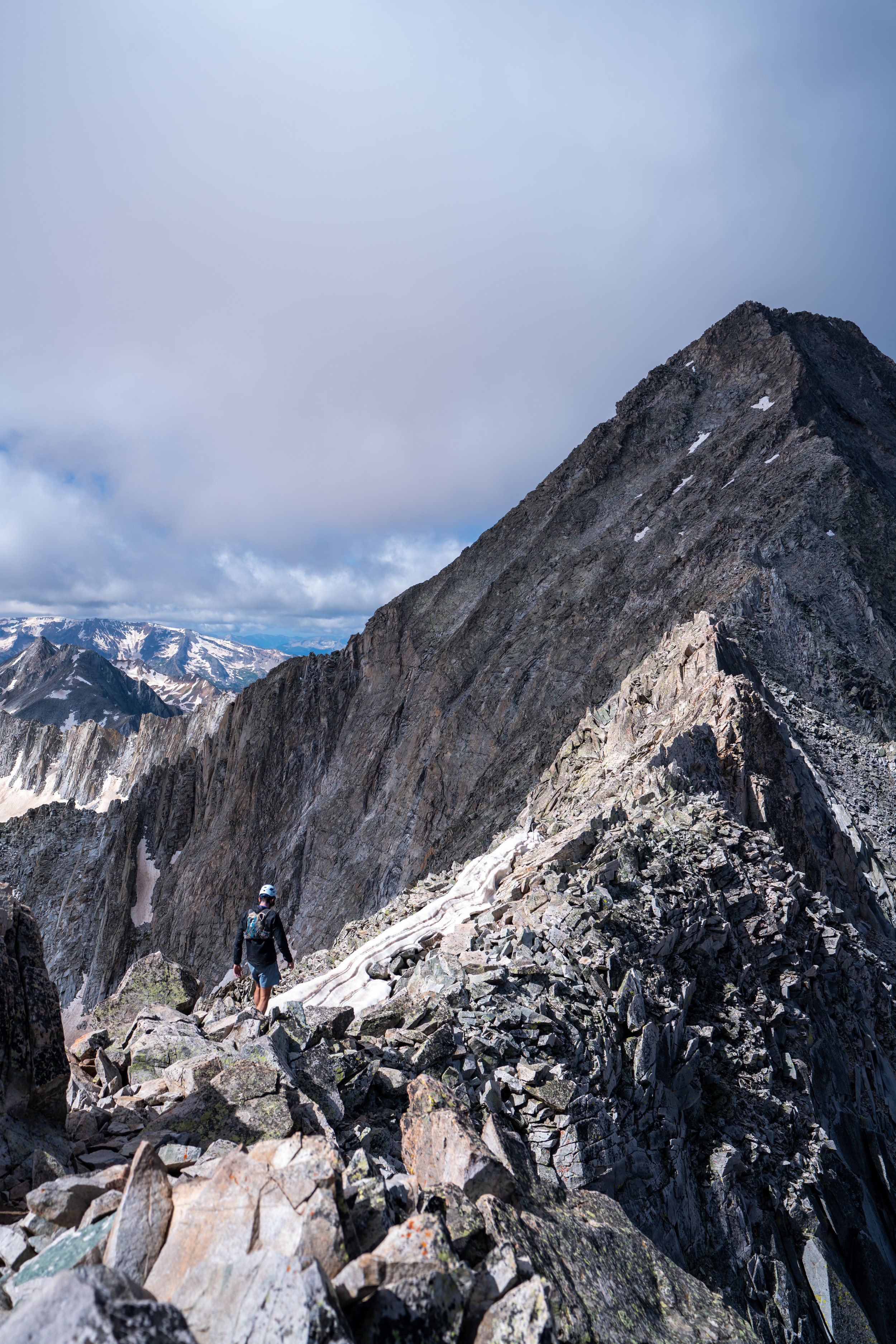
Climbing the Blanca Peak Trail in the Sangre de Cristo Mountains, Colorado
Distance (One Way via Lake Como): 3.0 miles / 4.8 km
The Blanca Peak Trail in the Sangre de Cristo Mountains of southern Colorado is a Class 2/ Class 3 climb that is often paired with Ellingwood Point, the 14,000-ft. (4,267 m) summit just north of Blanca Peak.
That being said, the climb up Blanca Peak cannot be discussed without first mentioning the infamous Lake Como Road.
In short, Lake Como Road is the long, bumpy 8.6-mile (13.8 km) access road that begins off Highway 150 and ends at the far end of the Blue Lakes. The road is notorious for making hikers walk much farther than intended, which was exactly my experience.
In any case, the true ascent past Crater Lake is a fairly straightforward but steep Class 2 climb that only becomes Class 3 if you choose to climb Ellingwood from the saddle between the peaks.
Blanca Peak Trailhead Parking
Parking for the Blanca Peak Trail is as far up Lake Como Road as you can drive.
This is why I made the Lake Como Road section below so detailed—so that you can hopefully estimate how far up you can realistically drive.
That being said, some who visit with extremely high-clearance vehicles can make it to Lake Como and beyond, but those willing to push their personal vehicles that far are exceptionally rare. I say this because Lake Como Road is truly one of the worst approaches I’ve ever seen, and making it even 2.0 miles (3.2 km) up the road is considered a good distance for most mid-size vehicles.
Needless to say, I only made it to the 2.1-mile (3.4 km) mark, or about 8,150 ft. (2,484 m), before calling it.
Google Maps Directions: Lake Como Trailhead
Hiking Checklist - Sangre de Cristos
Obviously, for camping, you will need general backpacking gear. For this reason, I wrote a separate post about what backpacking gear is worth the money, from my experience, and what the best alternatives are to save you money.
Read My Separate Post: Best Ultralight Backpacking Gear
In addition, here is a complete list of must-have things that you will want for any hike in the Sangre de Cristo Mountains.
Hiking the Blanca Peak Trail
Since the Blanca Peak Trail typically begins fairly low on Lake Como Road for most hikers, I decided to include the long walk up to Lake Como below.
However, you can skip past this section by clicking the link below.
To skip ahead to Lake Como, about 7.5 miles (12.1 km) up the road, click here.
Even if the lower elevations don’t look too bad for a mid-size vehicle, I can promise it’ll be worse in person.
I say this because the vast majority of cars don’t even make it close to the start of the switchbacks before deciding to park.
This turnout, near the mouth of Chokecherry Canyon, is a common parking area for many high-clearance vehicles that decide against driving the switchbacks ahead.
When the switchbacks begin, Lake Como Road becomes noticeably steeper than the earlier sections.
At a handful of these switchbacks, there are places to park if you decide against driving further.
This little dip is one of just a few times that Lake Como Road loses elevation on the way up.
These Aspens, both on the way up and down, create some really good shade on an otherwise very exposed hike.
With that in mind, I highly recommend wearing a hooded sun shirt for Blanca Peak or any of the three summits off Lake Como Road.
Jaws 1
As Lake Como Road nears the creek crossing, a number of obstacles named Jaws 1, 2, and so on become more and more frequent.
That being said, I saw one person making their way up to Lake Como on a dirt bike, which honestly felt like the best approach that one could hope for on Lake Como Road.
Commodore Camp
Shortly before the road crosses Holbrook Creek, Lake Como Road passes by a number of historic cabins, known as Commodore Camp.
These cabins are remnants of the Sangre de Cristo mining era, which you can learn more about here.
Holbrook Creek
This first creek crossing is the only time the road passes through Holbrook Creek before Lake Como, and it’s a nice sign that there is only about 1,000 ft. (305 m) left to gain before the beginning of the lake.
Jaws 2
This plaque is in remembrance of Leonard Davis, a man who died in a vehicle rollover while driving in this section in 2002.
This massive boulder in the middle of the road just feels like someone purposefully tried to make Lake Como Road difficult.
Jaws 2.5
This one is known as Jaws 2.5, which seemed just as difficult, if not more so, than the previous.
Jaws 3
This final feature is the last difficult section to navigate before reaching Lake Como.
This is when Little Bear Peak starts to become visible for the first time.
Lake Como
After 7.5 miles (12.1 km) and a long ascent up to 11,750 ft. (3,581 m), the road finally arrives at Lake Como.
In my experience, many hikers who began hiking up Lake Como Road late in the evening typically set up camp here, in order to start climbing early the next day.
If a car is able to make it as far as Lake Como, it’s not uncommon to drive further toward the Blue Lakes, where the road officially ends.
Blanca Peak-Little Bear Peak Junction
About 0.5 miles (0.8 km) past the beginning of Lake Como, the road passes by the Little Bear Peak junction on the right-hand side.
It’s definitely not an obvious split, so if you are headed up this way, be on the lookout for it at the top of the hill past Lake Como.
At just over 12,000 ft. (3,656 m), Lake Como Road leaves the treeline behind, which is something to keep in mind if you anticipate thunderstorms later in the day.
Blanca Peak Trail (End of the Road)
Shortly after the Blue Lakes, Lake Como Road ends, and the true Blanca Peak Trail begins.
This is absolutely the highest one can drive for the craziest of climbers, at roughly 12,200 ft. (3,719 m).
After the Blue Lakes, the Blanca Peak Trail will noticeably begin gaining elevation more rapidly on the way up to Crater Lake.
Just below Crater Lake, there are a few small tarns to know you’re getting close.
Crater Lake
Crater Lake is the uppermost lake on the Blanca Peak Trail, and it’s a nice sign that the steeper sections leading up to the summit are just ahead.
That said, I was able to see fish in Crater Lake, but I can’t speak to how well the fishing actually is.
When the steeper ascent past Crater Lake begins, the Blanca Peak Trail gains roughly 1,000 ft. (305 m) in just 0.9 miles (1.4 km) to the upper junction with Ellingwood Point.
For these very exposed sections, I was grateful to be hiking in a hooded sun shirt, as there are essentially no places to find shade!
Some may prefer to carry trekking poles for these steep sections below the saddle.
This part can be particularly slippery when the water melts during the day and freezes again overnight.
As the Blanca Peak Trail nears the saddle, the switchbacks on the trail become less frequent as it heads for the junction with Ellingwood Point.
Blanca Peak-Ellingwood Point Junction
In my experience, the saddle between Blanca Peak and Ellingwood Point is the much more obvious and common route to connect the two.
However, there is a Class 2 ascent toward Ellingwood that branches off the Blanca Peak Trail well before the saddle, but I honestly didn’t notice where it was.
To that point, all the climbers that I came across on the mountain traversed the saddle because it is the much more obvious, straightforward, and trafficked of the two routes up Ellingwood Point.
Northwest Ridge
After leaving the saddle at roughly 13,780 ft. (4,200 m), I turned right up the summit ridge toward Blanca Peak.
These final sections may look steep, but the climbing is not too difficult to navigate, as long as you stay away from the edge on the left.
This is when the climb crosses above 14,000 ft. (4,267 m), meaning there’s only 350 ft. (107 m) left to reach the summit!
Not long after the 14,000-ft. (4,267 m) mark, the Blanca Peak Trail noticeably climbs higher than Ellingwood Point, which stands at 14,057 ft (4,285 m) according to 14ers.com.
After some fairly violent thunderstorms in the Great Sand Dunes the day prior, some snow was left behind on the uppermost portions of Blanca Peak on an early September day.
Blanca Peak
According to 14ers.com, the summit of Blanca Peak stands at 14,350 ft. (4,374 m), and from the top you get great views of Mt. Linsey, Little Bear Peak, Ellingwood Point, and the surrounding valleys.
Unfortunately, I didn’t have time to make the climb up to Ellingwood Point, even though it looked so close because I committed to meeting a friend the next morning to climb Mt. Sneffels.
Needless to say, that was not a convenient drive, but it was fun nonetheless!
That said, I will be back for Ellingwood Point and Little Bear Peak!
Maybe someday I’ll come back for the traverse, but to be honest, I’m not all that interested.
I know what difficult scrambling looks like on much worse terrain than Colorado, so it’s more than likely that I’ll simply treat Little Bear Peak as an out-and-back climb after already summiting Blanca.


