Hiking the Clouds Rest Trail in Yosemite National Park
Distance (Roundtrip): 13.2 miles / 21.2 km
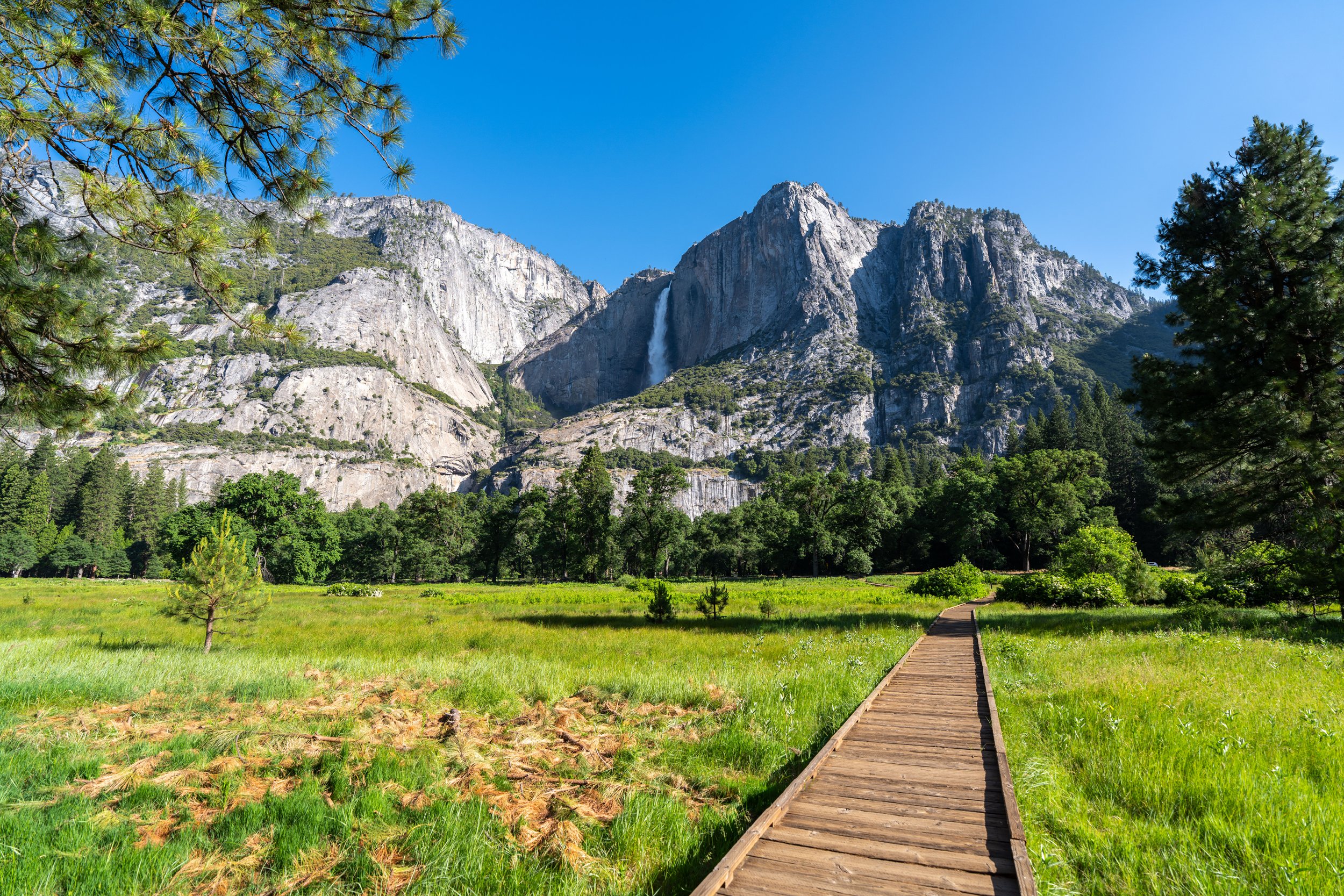
The Clouds Rest Trail in Yosemite National Park is a long day hike in the high country off Tioga Road that leads to a stunning panoramic summit above some of the most iconic landmarks in Yosemite Valley, like Half Dome and Mirror Lake!
That said, hiking the Clouds Rest Trail is most common via Sunrise Lakes, but the second most common alternative is when hikers combine The Cables on Half Dome with Clouds Rest for one long 24.2-mile (38.9 km) day—and yes, this is more popular than the distance may make it sound.
This is because Clouds Rest is not a short hike from any direction, so for those who are lucky enough to score Half Dome permits, continuing up to Clouds Rest after The Cables is actually a shorter option compared to treating them as two separate day hikes.
Nevertheless, this article is about the Clouds Rest Trail via Sunrise Lakes, which is the most popular route—not to mention, there is much less less elevation to gain compared to hiking Clouds Rest from Happy Isles.
How Bad Are the Mosquitoes on the Clouds Rest Trail?
Anyone who has hiked Clouds Rest via Sunrise Lakes has probably mentioned how bad the mosquitoes can be, but in my experience, they certainly are not the worst they could be!
By this, I mean that the mosquitoes on the Clouds Rest Trail are only bad at the beginning of the hike and only bad in the beginning of the summer. As July, August, and September roll around, they certainly become easier and easier to manage.
Now, to be fair, I did this hike in the middle of June, when the mosquitoes were at their worst, but coming from someone familiar with how bad they can be in other places around the country—like the Sacred Rim Trail in the Wind River Range of Wyoming or even Colchuck Lake at sunset—I personally thought mosquitoes on Clouds Rest were a breeze!
I mean, there certainly is a lot of them, and a bug net can be a nice luxury. However, after the first 1.5 miles (2.4 km) upon leaving the Tenaya Lake area, you’re past the worst of them—not to mention, the bugs are only bad in the morning, which makes the return hike in the mid-afternoon much nicer in comparison!
Clouds Rest Trailhead Parking
Parking for the Clouds Rest Trail is located at the Sunrise Lakes Trailhead, directly off Tioga Road, about 30.8 miles (49.6 km) from the Crane Flats junction off Big Oak Flat Road.
Before making the long drive up, know that the Sunrise Lakes Trailhead is one of the most popular starting points for both day hikers and backpackers outside of Yosemite Valley, which is why I highly recommend arriving early in the morning!
Google Maps Directions: Clouds Rest Trailhead (Sunrise Lakes)
Hiking Checklist - Yosemite
Here is a complete list of must-have things that you will want for any hike in Yosemite National Park.
That said, bear spray is purposefully excluded from this list because, while the Sierra Nevadas are home to a large Black Bear population, bear spray is not allowed in Yosemite National Park.
Hiking the Clouds Rest Trail
The Clouds Rest Trail begins on the Tenaya Lake side of the Sunrise Lakes parking lot, the far eastern end.
Clouds Rest-Snow Creek Junction
Immediately upon beginning the hike, the Clouds Rest Trail splits with the Snow Creek Trail, which heads west toward Olmsted Point.
However, don’t follow this side trail, but instead, go left to stay on the boardwalk toward the Tenaya Lake.
If you read recent trail reviews, where hikers talk about the Tenaya Creek crossing being high, then walking the first 0.1 miles (0.2 km) without shoes really isn’t the worst idea.
It’s certainly better than getting ready in the parking lot—only to have to take your shoes off again just after beginning the hike.
Clouds Rest-Murphy Creek Junction
At this split, immediately across the boardwalk, go straight (right) to continue toward Tenaya Creek, as the path to the left leads to the Murphy Creek parking area at Tenaya Lake.
Tenaya Creek
At only 0.1 miles (0.2 km) into the Clouds Rest Trail, Tenaya Creek is often seen as the most annoying part of the trail—especially early in the summer, when the rocks are underwater.
However, as peak snowmelt subsides, hikers can navigate across Tenaya Creek much more easily, without the need to take their shoes off to stay dry!
North Clouds Rest-Tenaya Lake Junction
On the far side of Tenaya Creek, go straight (right) to stay on the Clouds Rest Trail, as this, and the next junction, both lead to the Tenaya Lake Trail, which parallels the south side of the lake.
South Clouds Rest-Tenaya Lake Junction
This is the second Tenaya Lake junction previously mentioned.
That said, go right at this split, and the Clouds Rest Trail will continue uninterrupted until the Sunrise Lakes junction—roughly 2.4 miles (3.9 km) ahead.
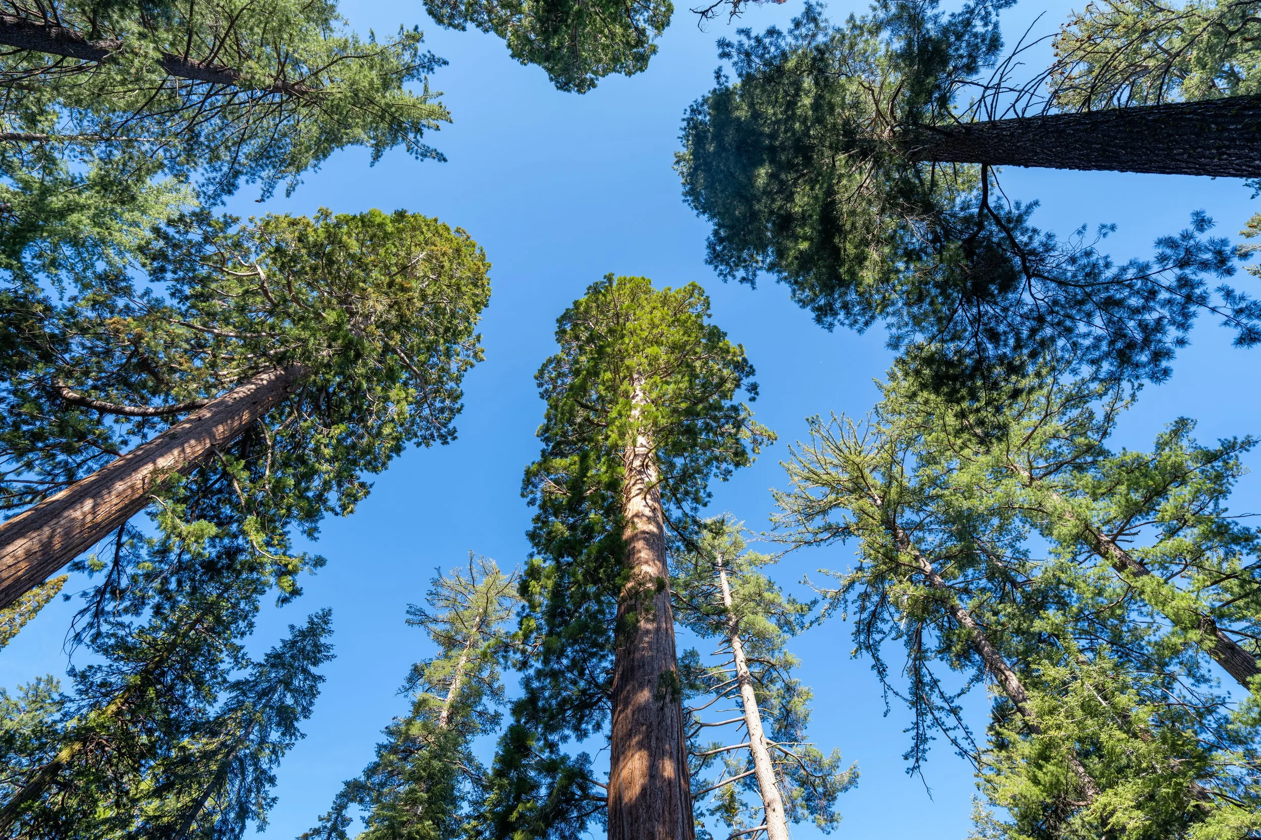
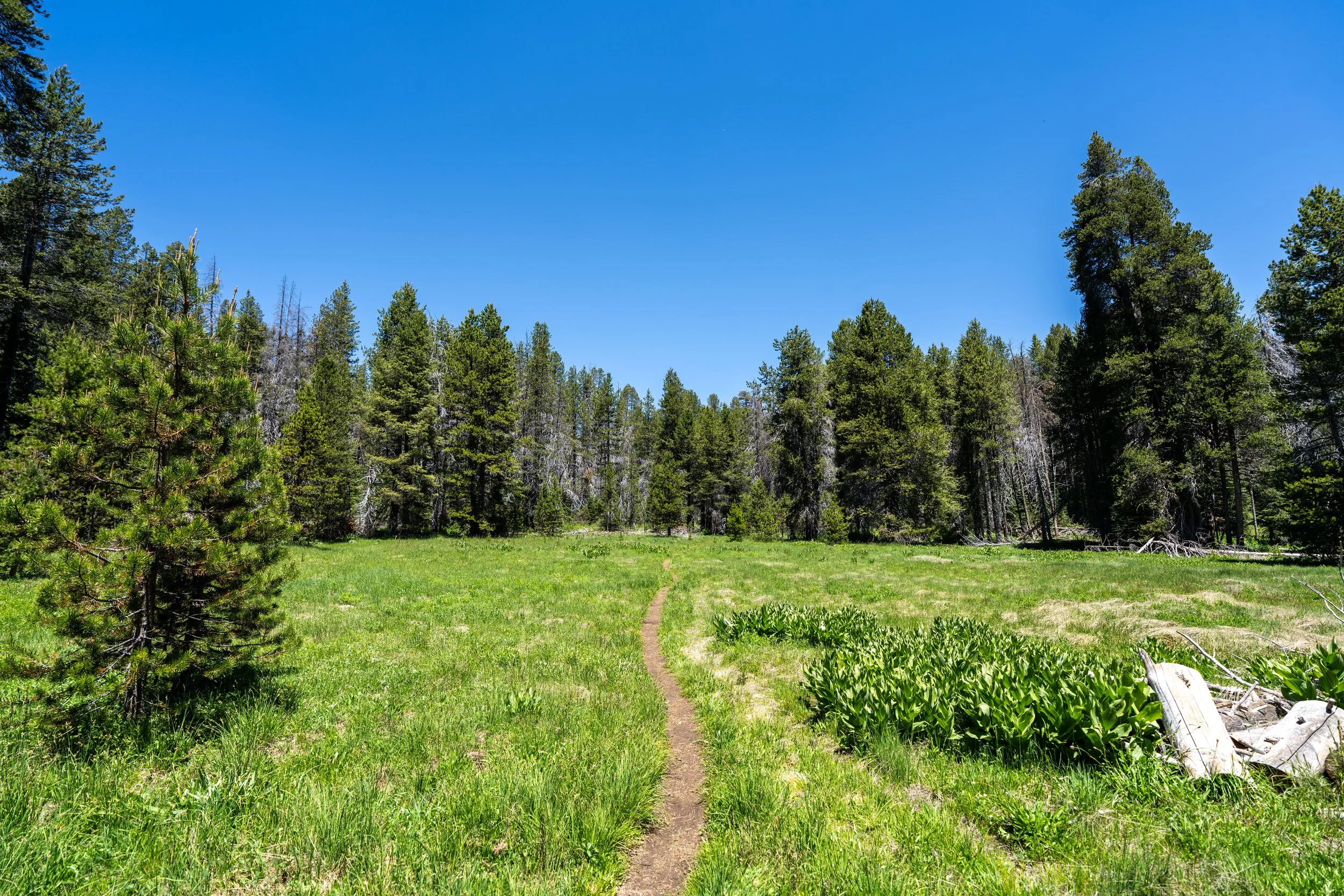
Following Tenaya Creek, the Clouds Rest Trail begins a long, monotonous stretch through a seemingly never-ending Lodgepole Pine forest, as much of the hike to Clouds Rest looks like the photos shown here.
However, there are good ways to break up this long hike mentally, which I think of like this:
First, there is the trailhead to Tenaya Creek, followed by the creek to the top of the switchbacks at the Sunrise Lakes junction. Then, the Clouds Rest Trail continues through more of the same terrain until the Forsyth Trail junction, with Two Mile Pond in between serving as a nice mental checkpoint. Finally, there is the final ascent from the Forsyth junction to the summit.
While this is obviously a very simplified version of the Clouds Rest hike, I think it helps to break it up mentally, as much of the trail truly looks the same!
By this point in the trail, the mosquitoes were not much of a nuisance anymore, compared to the areas closer to Tenaya Lake.
However, if you’re someone who is typically bothered by mosquitoes more than others, carrying one of these cheap bug nets in your pocket certainly isn’t the worst idea, as they can truly be one of the best pieces of hiking gear to have for different areas across the country!
These photos were taken in mid-June, but know that the next few creek crossings become much less significant throughout the summer, as peak snowmelt subsides.
This third creek crossing is another one that becomes much less significant by mid-summer.
This is where the Clouds Rest Trail begins to ascend the switchbacks below Sunrise Mountain, totaling about 840 ft. (256 m) of elevation gain from this point to the Sunrise Lakes junction at the top.
Apart from the final ascent to the summit at the end, these switchbacks below Sunrise Mountain are the steepest parts of the Clouds Rest Trail.
That said, some hikers may want to carry trekking poles for this, and for the steeper sections near the end.
It certainly is nice to get an early start on these switchbacks, as opposed to climbing up when the sun gets higher!
Shaded areas on the mid to upper switchbacks are where I first encountered snow, following an average snow season in the Sierras.
However, the snow that I did have to cross on the trail was nothing significant, and nothing that I think would require micro-spikes—unless you were hiking to Clouds Rest very early in the season or there had been above-average snowfall the winter prior.
Microspikes and poles would certainly make crossings like this easier, but if it’s anything like the limited patches in the photos here, I don’t personally think they are necessary—unless you’re not familiar with hiking in conditions like this.
This is where the top of the steep hill starts to become visible through the trees!
Clouds Rest-Sunrise Lakes Junction
At the top of the switchbacks, the Clouds Rest Trail comes to the Sunrise Lakes junction, which heads northeast toward the lakes and around Sunrise Mountain.
Once here, go straight to continue on the Clouds Rest Trail, which begins to descend a few minor switchbacks before leveling out.
This is the gradual descent following the Sunrise Lakes junction.
These very few short switchbacks are the steepest part of the descent before the Clouds Rest Trail levels out.
Once at the bottom, the Clouds Rest Trail continues much like the beginning, with Two Mile Pond being one of the few notable landmarks between this point and the Forsyth Trail below the summit.
This wildflower, known as Purple Mountain Health, is endemic only to California and small parts of Nevada, which is why I think finding it is always cool when hiking in the Sierras!
This open boulder field is one of the few notable landmarks on the Clouds Rest Trail between the Sunrise Lakes and the Forsyth Trail, as almost everything through the never-ending Lodgepole forest looks the same!
Two Mile Pond
Two Mile Pond is not the official name for this pond on the Clouds Rest Trail, but it’s nicknamed this because it’s located almost exactly 2.0 miles (3.2 km) from the summit, making it a nice checkpoint both on the hike there and back.
I certainly was happy to be hiking in a hooded sun shirt on such a long hike like the Clouds Rest Trail, which is something I strongly recommend for upper-elevation adventures across the Sierras!
This is the fourth and final 'major' creek crossing before the summit of Clouds Rest.
Just a few days before hiking the Clouds Rest Trail, I had heard about a group of hikers turning around because of the snow, which made me question if it was too early in the season.
However, after going for the hike anyway, I figured it must have been a group without much hiking experience.
I tell this story because, as long as the trail is mostly snow-free, patches of snow and minor muddy areas are nothing to cancel a hike over. I really wonder what their circumstances must have been!
Clouds Rest-Forsyth Junction
The second-to-last time the Clouds Rest Trail splits before the summit is at this junction: the Forsyth Trail, which is more or less a bypass around Clouds Rest.
That said, the Forsyth Trail should be taken by those continuing past Clouds Rest toward Yosemite Valley if the weather isn’t looking safe to summit, as the Clouds Rest Trail becomes increasingly exposed as it climbs above tree line.
However, on a day like today, go straight at this split, and the summit will start to become visible through the trees over the next 0.5 miles (0.8 km).
This is where the Clouds Rest Trail begins the gradual ascent to the summit, with the final sections being the steepest as it ascends above tree line.
This is where the summit of Clouds Rest starts to become visible through the trees for the first time!
Even though the summit may look far off, I personally felt that these final sections moved the quickest compared to the long, tedious sections through the trees to get to this point.
After the initial ascent following the Forsyth Trail, the Clouds Rest Trail levels out for a very short stretch, before it gets steeper again on the hike up to the summit ridge.
This is where the Clouds Rest Trail begins its final ascent to the summit!
These remaining patches of snow were certainly shrinking fast on a hot, mid-June day like this!
As long as you move slowly, these final steep sections up to the summit ridge aren’t too difficult, as the entire hike, including the summit, sits below 10,000 ft (3,048 m).
When the Clouds Rest Trail nears the tree line, stay to the left of the ridgeline to follow the easiest path up.
Clouds Rest-Clouds Rest Bypass Junction
Just 0.2 miles (0.3 km) before the summit, the Clouds Rest Trail splits one final time, with this side trail that simply serves as a bypass around the summit.
That said, this route should be used by those hiking beyond Clouds Rest—just like the Forsyth Trail—if the weather takes a turn for the worse.
However, on a typically sunny day in the Sierras like this, go right at this split to continue up to the summit ridge!
This is the summit ridge on Clouds Rest, and from this point on, the trail mostly follows the ridgeline to the very top!
This is the view looking back toward Tenaya Lake.
Just before the top, there’s the option to either go to the left, as shown here, or continue along the ridgeline.
Choosing either is mostly a matter of personal preference.
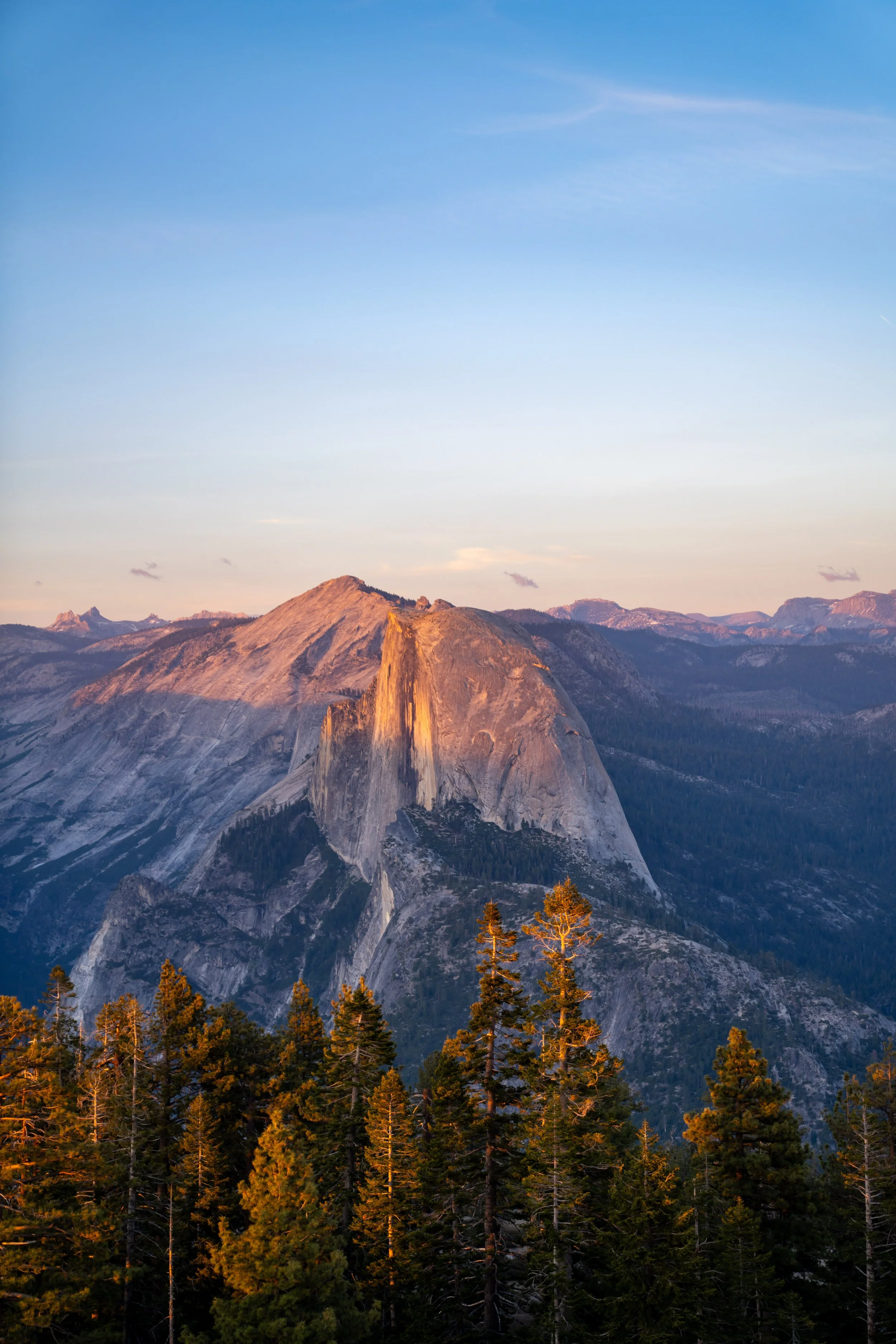
Clouds Rest
This is the summit of Clouds Rest, which, according to the National Park Service, stands at 9,934 ft. (3,028 m), or roughly 5,930 ft. (1,807 m) above the valley floor.
I hope that shows just how much elevation gain there is to hike the Clouds Rest Trail from the Mist Trail at Happy Isles!
In any case, the summit of Clouds Rest is a favorite in Yosemite National Park because of its panoramic views of both Yosemite Valley and the high country, including the highest peak in the park, Mt. Lyell.