Hiking the Taft Point Trail in Yosemite National Park
Distance: 2.4 miles / 3.9 km
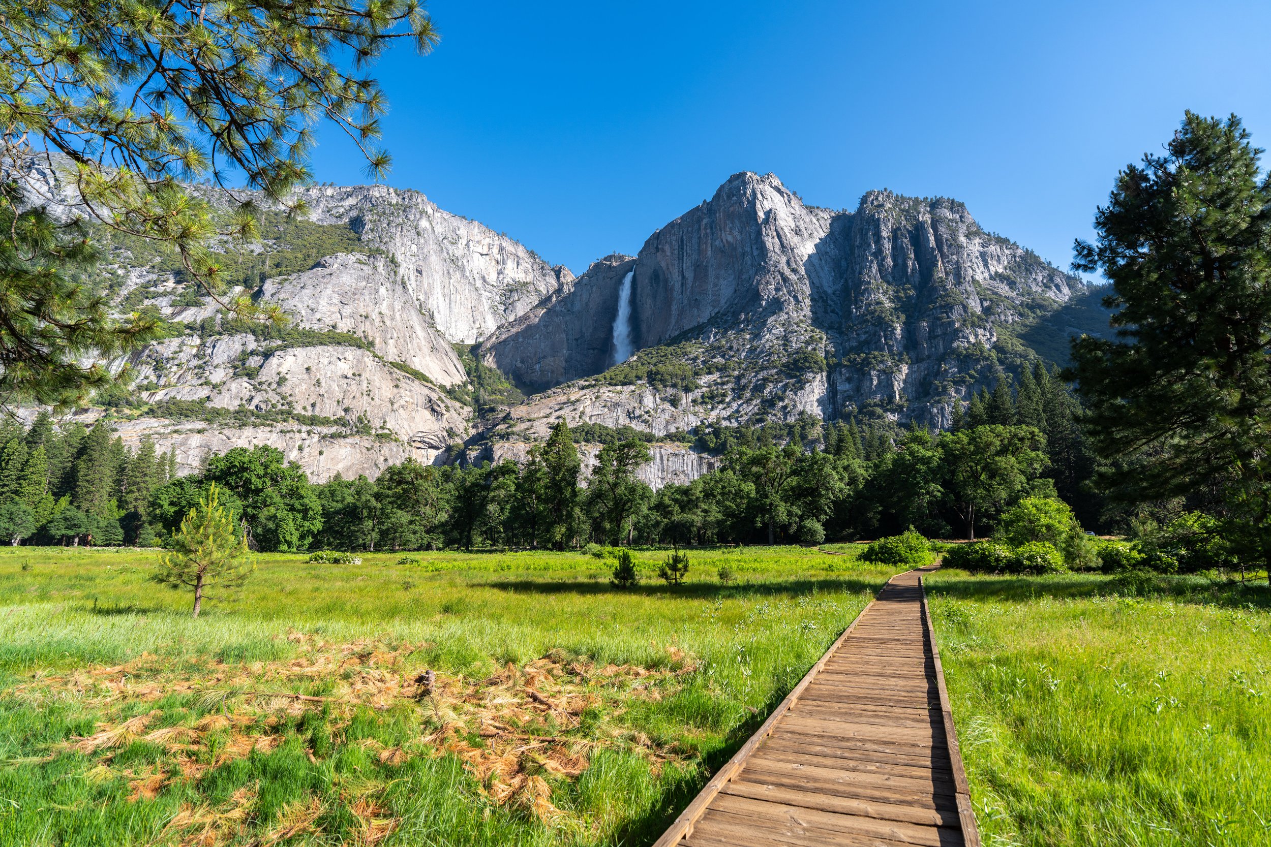
The Taft Point Trail, also called the Fissures Trail, in Yosemite National Park, is a short and easy day hike off Glacier Point Road that leads out to a panoramic, overhanging viewpoint above some of the most iconic landmarks in Yosemite Valley!
In addition, Taft Point is also regarded as one of the best sunset hikes in Yosemite National Park because of the way the soft light at golden hour shades Yosemite Valley and El Capitan, much like photos taken on the Glacier Point rock near sunset with Upper Yosemite Falls in the background.
All this to say, Taft Point is easily one of the best day hikes off Glacier Point Road, and it, along with the adjacent Sentinel Dome Trail, are two of the best places across all of Yosemite National Park to hike for sunset!
Taft Point Trailhead Parking
Parking for the Taft Point Trail is located in one of two parking areas that serve both Taft Point and the Sentinel Dome Trail, with the southern parking area being the closer of the two to the actual trail.
That said, be aware that both parking areas typically fill up around sunset during the busy summer travel season, as this is, without a doubt, the best time of day to hike either trail.
Google Maps Directions: South Taft Point Trailhead / North Taft Point Trailhead
Hiking Checklist - Yosemite
Here is a complete list of must-have things that you will want for any hike in Yosemite National Park.
That said, bear spray is purposefully excluded from this list because, while the Sierra Nevadas are home to a large Black Bear population, bear spray is not allowed in Yosemite National Park.
Hiking the Taft Point Trail
This is the Taft Point Trail from the southern trailhead, which joins the route from the northern parking area just a short distance ahead.
Taft Point-Sentinel Dome Junction
This is where the Taft Point Trail joins the route from the Sentinel Dome parking area, about 0.1 miles (0.2 km) away.
That said, go left to continue on the Taft Point Trail toward the Fissures.
Read My Separate Post: Sentinel Dome Trail
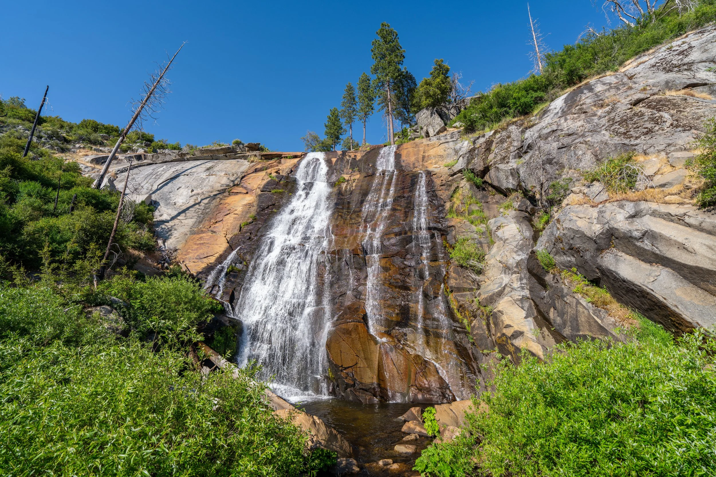
Sentinel Creek
Immediately after the Sentinel Dome junction, the Taft Point Trail crosses Sentinel Creek, which can be tricky to cross when there is significant snowmelt flowing—unlike in this photo here.
Apart from the viewpoint at the very end, this hill is the steepest part of the Taft Point Trail.
East Taft Point-Pohono Junction
At almost exactly the halfway point, the Taft Point Trail meets the Pohono Trail from Glacier Point.
From here, go left to follow this shared route out to the Fissures, just before Taft Point, located about 0.6 miles (1.0 km) away.
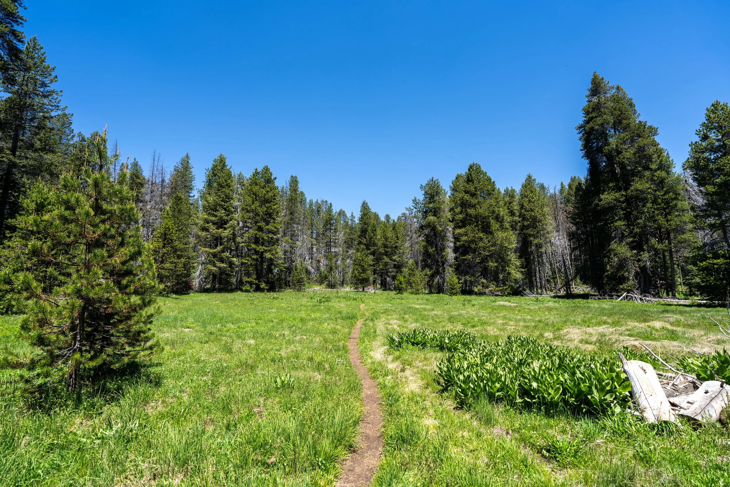
Low-lying, marshy areas just like this can be particularly muddy on the Taft Point Trail, especially during peak spring/ early summer snowmelt.
On a different note, it’s worth noting that the plant species shown here is highly toxic to both humans and animals and should be avoided wherever it’s found—typically in wet, marshy areas like this and along other day hikes, such as the McGurk Meadow Trail.
This second marshy area is a bit larger to cross than the first.
When there is just 0.2 miles (0.3 km) left before the Fissures, the Taft Point Trail will begin to descend gradually toward the rim of Yosemite Valley.
West Taft Point-Pohono Junction
Shortly before the Fissures, the Pohono Trail will branch away to the south to continue toward McGurk Meadow.
That said, go right to hike up to the first viewpoint on top of the hill ahead.
The Fissures
This first viewpoint, following the second Pohono Trail junction, is not Taft Point but, instead, the Fissures—an area named for the dramatic gaps in the granite, like the one near the junction below.
To get to Taft Point, simply go left and continue hiking along the rim of Yosemite Valley for another 0.1 miles (0.2 km) to reach the point that can be seen from the Fissures overlook.
Just before Taft Point, go left to drop down to this lower ledge, as the trail heading straight in the photo above will cliff out, which often leaves hikers backtracking.
Taft Point
This is Taft Point, and it’s named after President William Howard Taft, the 27th President of the United States.
This is because President Taft visited Yosemite National Park in October of 1909, during which he hiked with John Muir and ate lunch on a flat ledge that many speculate to be the very same ledge shown in the photo here.
Today, visitors can enjoy these same incredible views along the edge of Yosemite Valley. However, always be cautious when walking out to see the valley floor, as visitors have unfortunately fallen to their deaths at Taft Point in the past.
If you are interested in catching the sunset at Taft Point—which I strongly believe is the best time of day to visit—I recommend packing a good headlamp, as it will certainly be useful for the hike back in the dark, as well as for other sunset and sunrise adventures like the nearby Sentinel Dome Trail.