Hiking the Sentinel Dome Trail in Yosemite National Park
Distance: 2.2 miles / 3.5 km
The Sentinel Dome Trail in Yosemite National Park is a short, easy day hike that leads to a beautiful panoramic summit that overlooks some of the most iconic landmarks in the park, like Half Dome and Mt. Lyell—the highest peak in the park!
For this reason, the Sentinel Dome Trail is the best sunset hike across all of Yosemite National Park, because of the way golden hour lights up Half Dome and the high Sierras to the east!
This is why the Sentinel Dome is truly a must-do when visiting Yosemite, and I hope the photo below shows exactly why I think so highly of the trail at golden hour, as the short 1.1-mile (1.8 km) trail makes for a relatively quick hike back after dark—just like the nearby Buena Vista Trail in Kings Canyon National Park!
Sentinel Dome Trailhead Parking
Parking for the Sentinel Dome Trail is located in one of two parking areas that serve both Taft Point and the Sentinel Dome Trail, with the northern parking area being the closer of the two to the actual trail.
That said, be aware that both parking areas typically fill up around sunset during the busy summer travel season, as this is, without a doubt, the best time of day to hike either trail.
Google Maps Directions: Sentinel Dome Trailhead
Hiking Checklist - Yosemite
Here is a complete list of must-have things that you will want for any hike in Yosemite National Park.
That said, bear spray is purposefully excluded from this list because, while the Sierra Nevadas are home to a large Black Bear population, bear spray is not allowed in Yosemite National Park.
Hiking the Sentinel Dome Trail
This is the Sentinel Dome Trail from the northern trailhead, which joins the route from the southern parking area just a short distance ahead.
Sentinel Dome-Taft Point Junction
This split, at less than 0.1 miles (0.2 km) into the trail, is where the path connects to the Taft Point Trail and the southern parking area beyond.
That said, go right here to continue on the Sentinel Dome Trail.
Read My Separate Post: Taft Point Trail
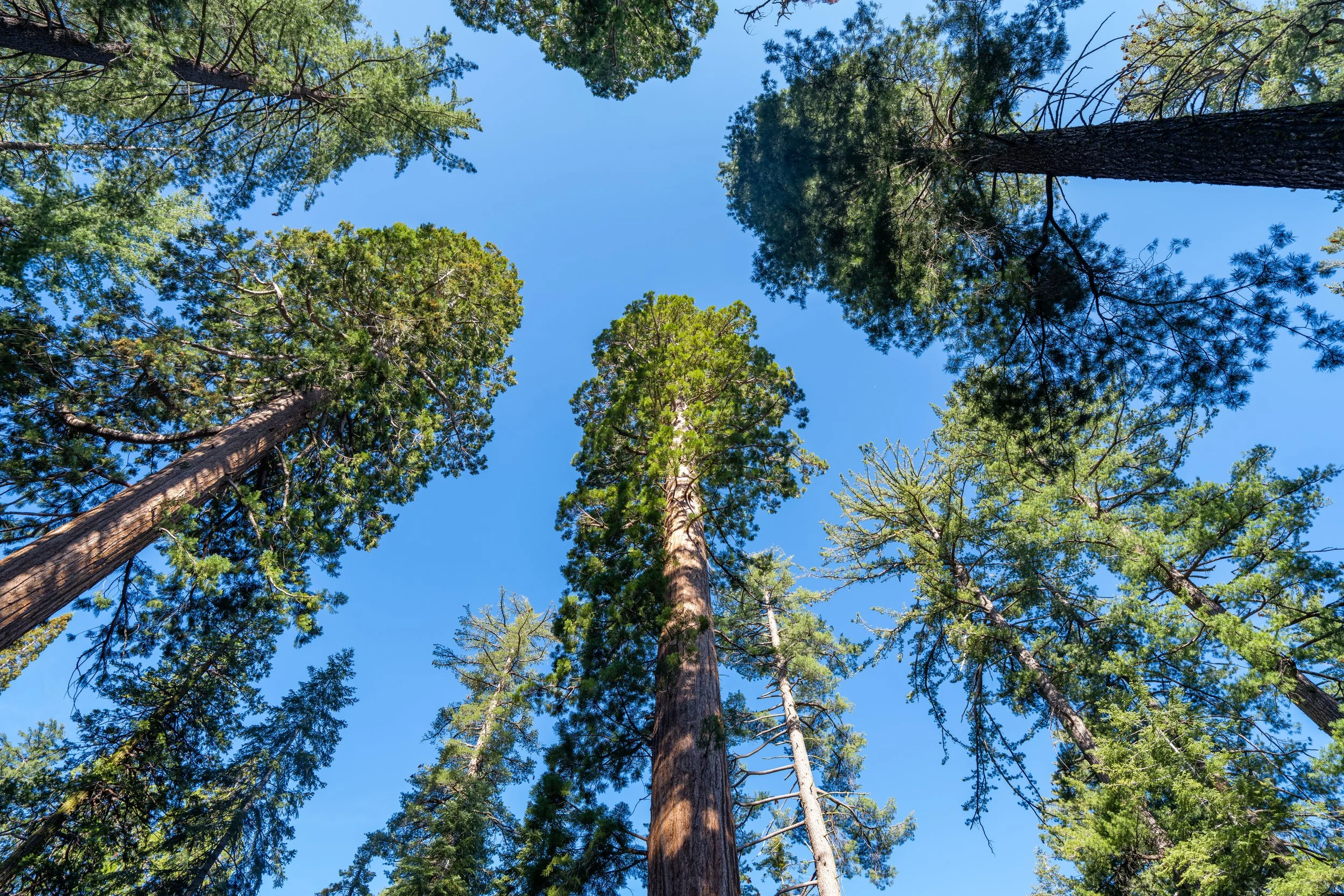
After the two trails split, the Sentinel Dome Trail simply parallels Glacier Point Road to the south, where Sentinel Dome will start to become visible in the distance shortly after the first hill straight ahead.
This is where Sentinel Dome starts to stand out through the trees!
If you plan to visit Yosemite National Park shortly after Glacier Point Road opens for the season, micro-spikes may be necessary to stay safe on the Sentinel Dome Trail—especially if the snow is melting during the day and refreezing again overnight.
For those planning to hike the Sentinel Dome Trail during the day—not at sunrise or sunset—I highly recommend wearing a hooded sun shirt, as there isn’t much shade, despite what these late-evening photos may make it seem.
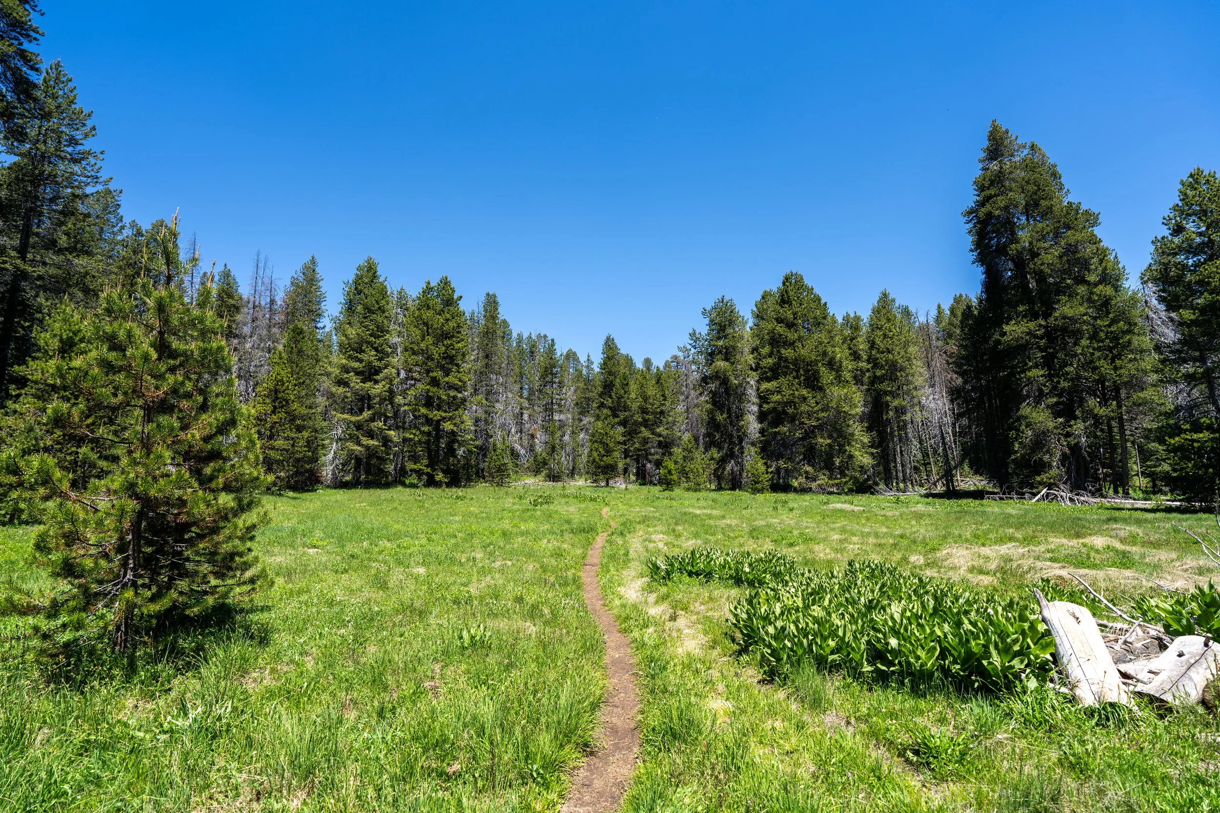
Shortly before the Sentinel Dome Trail reaches the Fire Road junction, the trail will come to this open area, marked by signs and rocks lining the trail, to stay in the right direction.
Lower Sentinel Dome-Sentinel Dome Fire Road Junction
After about 0.75 miles (1.2 km), the Sentinel Dome Trail splits for the first time with the Fire Road that leads out to Glacier Point Road.
Here, go straight to follow the joint path that the two share until the routes split from one another at the Lower Pohono Trail junction.
If you decide to hike the Sentinel Dome Trail for sunset, this forest on the east side of the summit will likely be the darkest part of the hike on the way back because the mountain blocks what’s left of the light after sunset.
At this next split, go left to continue on the Sentinel Dome Trail, as the path to the right is simply a shortcut to the Pohono Trail, out toward Glacier Point.
Upper Sentinel Dome-Sentinel Dome Fire Road Junction
When the Sentinel Dome Trail splits again, go left to continue up to the summit.
The trail to the right is where the Fire Road continues, which also connects to the Pohono Trail just ahead.
Sentinel Dome-Pohono Junction
Finally, when the Sentinel Dome Trail splits for the last time with the Pohono Trail, go left (straight), which is where the trail will start to get steep on the final climb to the summit.
The remaining 0.1 miles (0.2 km) of the Sentinel Dome Trail to the summit is the steepest part of the hike and is a section that may require micro-spikes, and even poles, to ascend safely if there is snow or ice on the trail.
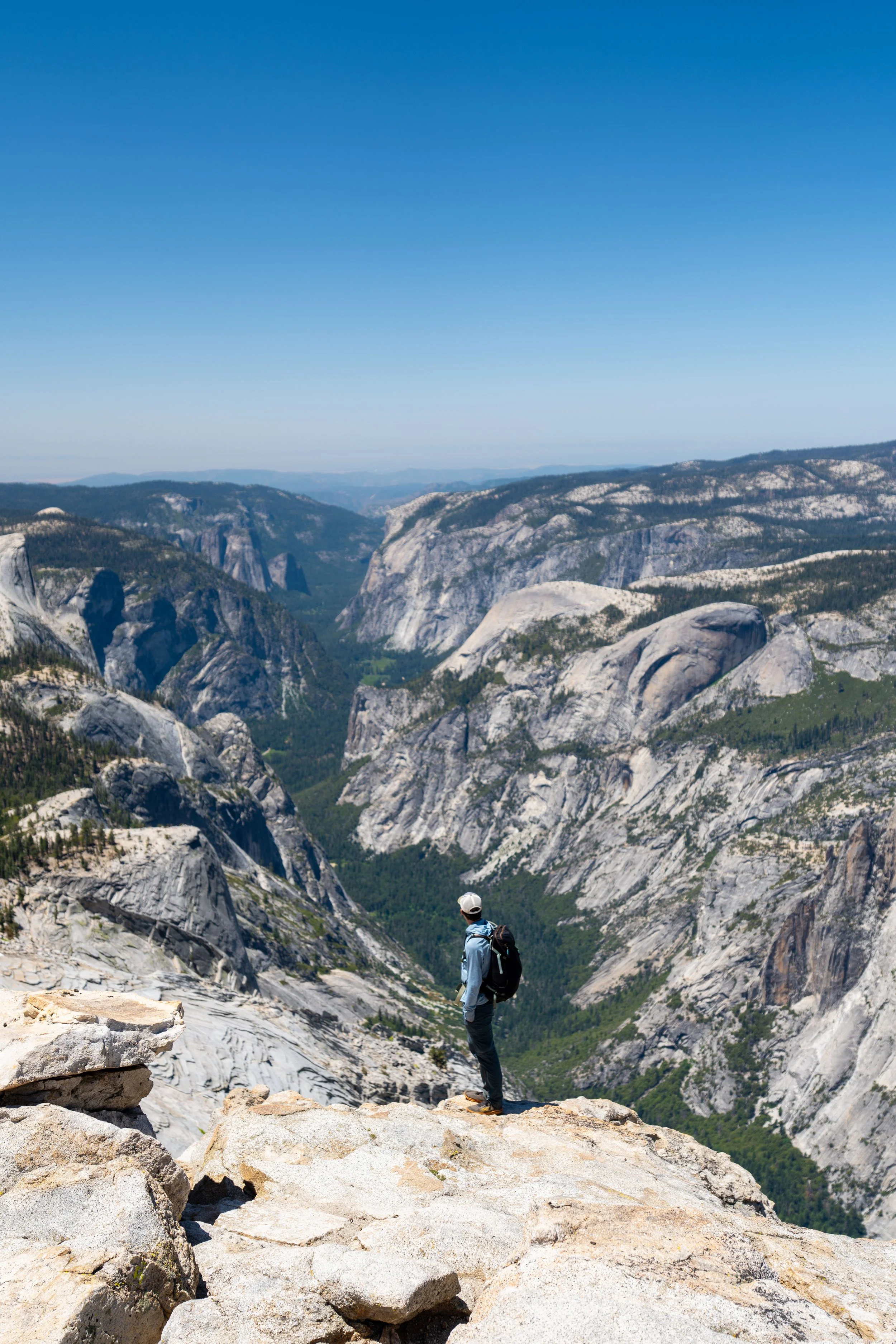
Sentinel Dome
This is the summit of Sentinel Dome, which, according to the National Park Service, stands at approximately 8,133 ft. (2,480 m), or about 4,130 ft. (1,259 m) above the valley floor.
All I can say is that I’ve spent a lot of time exploring Yosemite National Park, as well as Sequoia and Kings Canyon National Park, and I can confidently say that the Sentinel Dome Trail is one of the best sunset hikes in all of the Sierras!
That said, don’t forget to pack a good headlamp for the hike back down if seeing the sunset from the summit is something that interests you!
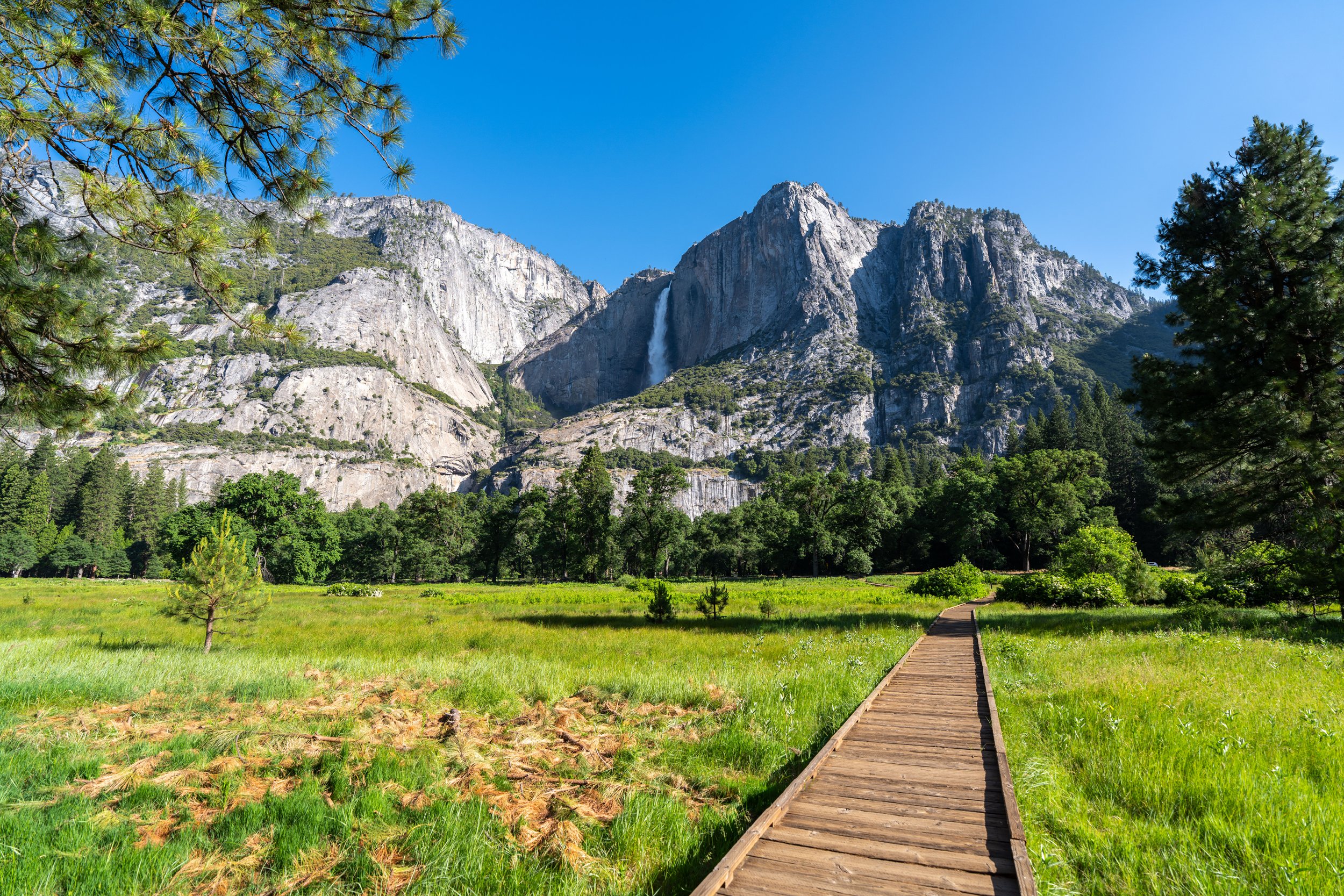
This is the view looking west toward Yosemite Valley, with Upper Yosemite Falls and Lower Yosemite Falls visible in the distance!