Hiking the Turtleback Dome Trail in Yosemite National Park
Distance: 1.2 miles / 1.9 km
The Turtleback Dome Trail in Yosemite National Park is a hidden, local adventure just before Tunnel View off Wawona Road when driving into Yosemite Valley from the south.
The trail—or rather, the road—is quite inconspicuous, meaning that the vast majority of those visiting Yosemite would drive right by and never even notice it’s there.
That said, the Turtleback Dome Trail is not an official trail maintained by the National Park Service. Instead, the road is essentially a service road for the equipment up Turtleback Dome that just so happens to have beautiful views of Yosemite Valley and the Merced River Canyon to the west.
For this reason, the Turtleback Dome Trail can be a great sunset adventure on a clear evening—especially if you’re looking to get off the beaten path!
Turtleback Dome Trailhead Parking
Parking for the Turtleback Dome Trail is located in one of a few small pullouts directly off Wawona Road.
Before arriving, know that these pullouts are very small and can be easy to miss, which is why I highly recommend slowing down as you get close to the trailhead.
Furthermore, cars driving Wawona Road do not expect to see hikers here. I mention this because it is a bit of a dangerous place to park to access the trailhead, so be careful—especially if you return after sunset.
Google Maps Directions: Turtleback Dome Trailhead
Hiking Checklist - Yosemite
Here is a complete list of must-have things that you will want for any hike in Yosemite National Park.
That said, bear spray is purposefully excluded from this list because, while the Sierra Nevadas are home to a large Black Bear population, bear spray is not allowed in Yosemite National Park.
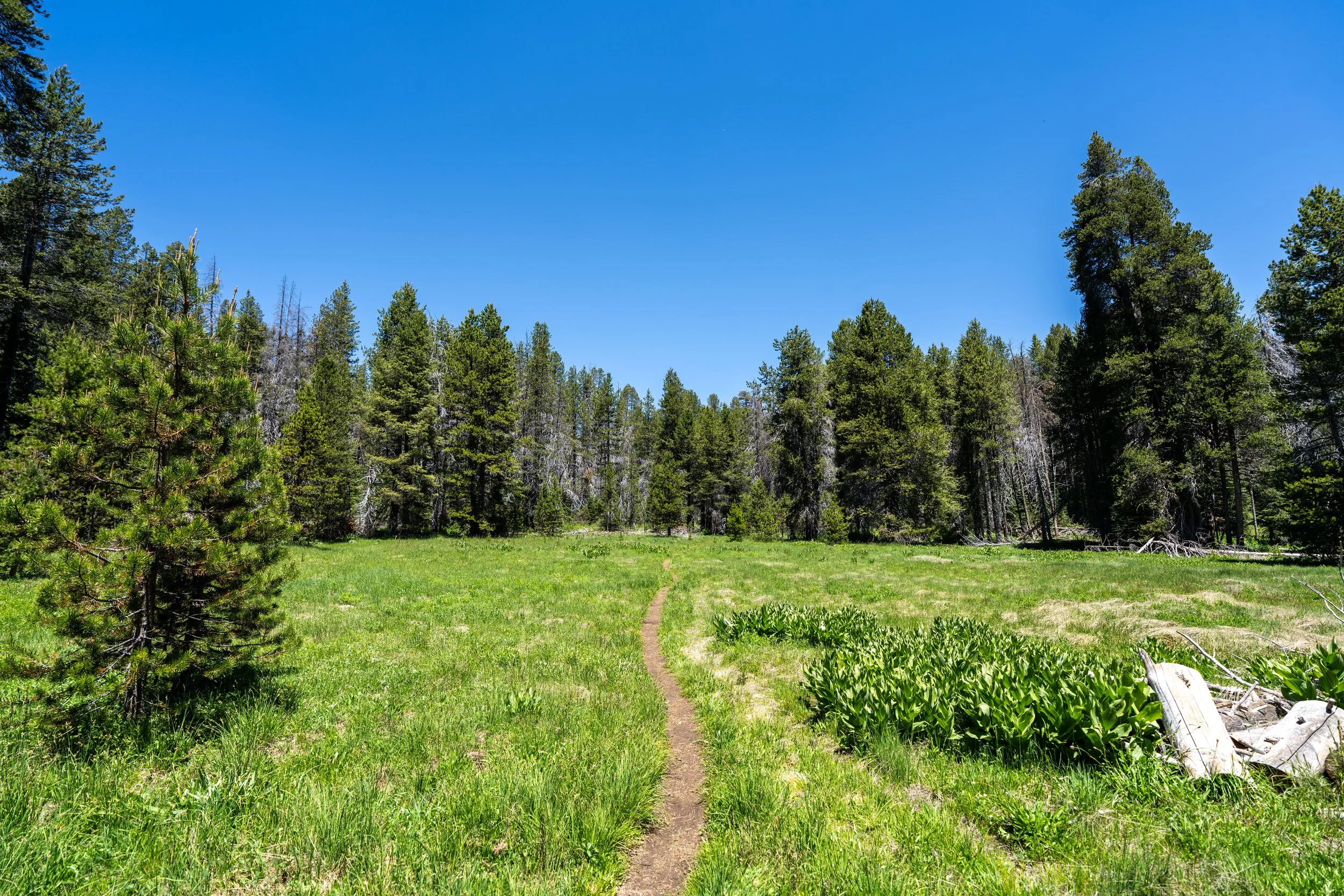
Hiking the Turtleback Dome Trail
The Turtleback Dome Trail begins where this unnamed road meets Wawona Road.
Once on the correct road, there’s really nothing more to know than to simply hike the road to the air quality testing station near the summit of Turtleback Dome, about 0.5 miles (0.8 km) ahead.
Black Bears love to eat Coffeeberry in the Sierras!
Like most adventures in Yosemite, I highly recommend wearing a hooded sun shirt, as the Turtleback Dome Trail is very exposed—especially in the late evening, when most hike up for sunset.
When the Turtleback Dome Trail leaves the forest, the road will reach the Air Quality Testing Station in about 0.1 miles (0.2 km).
Turtleback Dome Air Quality Testing Station
This is where the National Park Service tests air quality in Yosemite National Park, which can be seen by clicking the link below.
That aside, go left around the building to continue up to the summit, where the best views on Turtleback Dome can be found!
National Park Service: Turtleback Dome Air Quality Testing Data
Once past the testing station, simply follow the most obvious path straight ahead to reach the best views on Turtleback Dome.
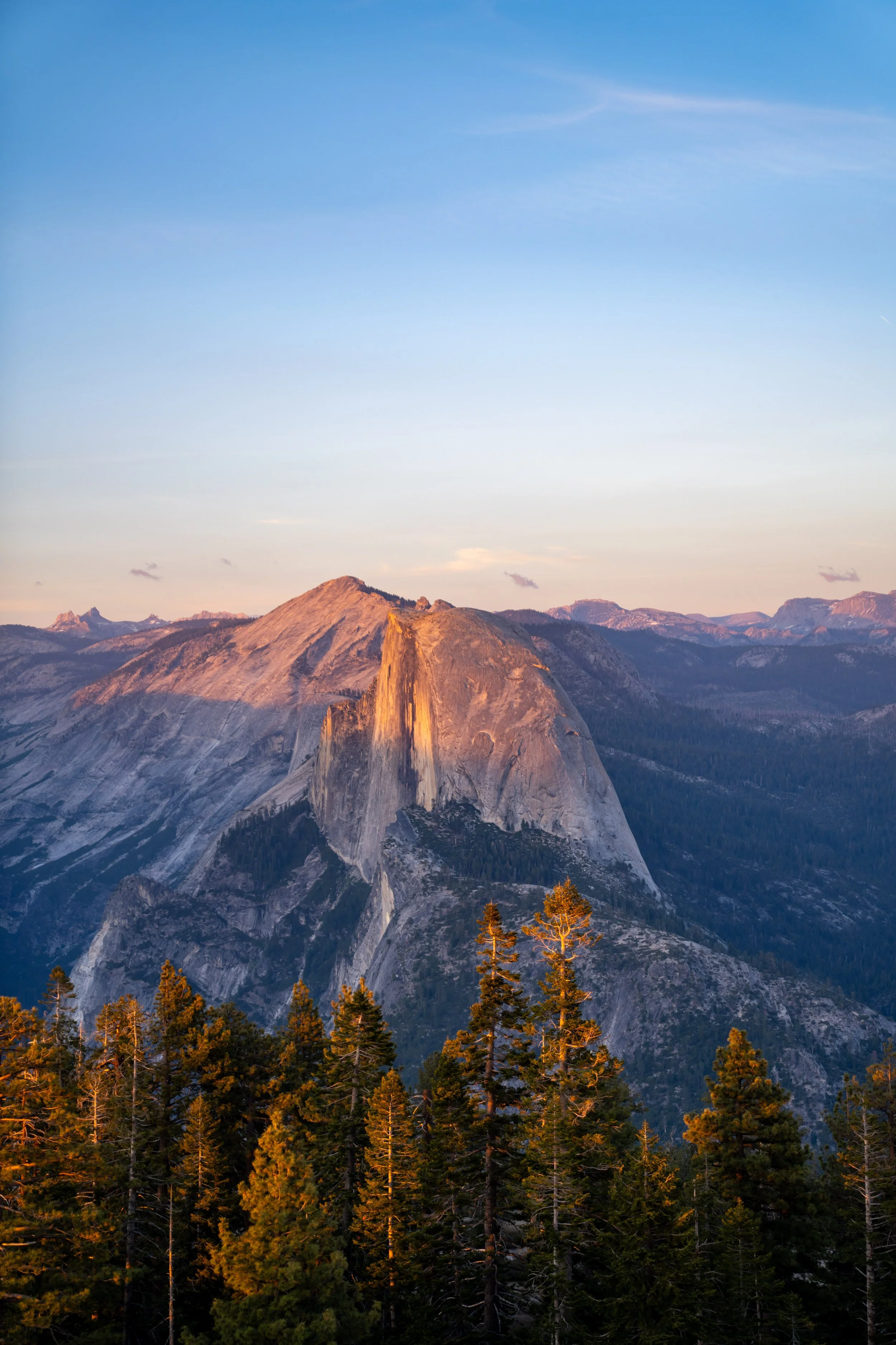
Turtleback Dome
This is Turtleback Dome, which, according to the National Park Service, stands at 5,259 ft. (1,603 m), or about 1,260 ft. (384 m) above the valley floor.
Like Elephant Rock below, Turtleback Dome is mostly enjoyed at sunset, which is exactly when I recommend hiking the trail, as the hike back down in the dark is relatively quick and easy—not to mention it’s a much easier drive back compared to catching sunset anywhere off Glacier Point Road.
For any photographers, I highly recommend hiking up Turtleback Dome with a good polarizer to cut through the haze, as the best views of both El Capitan and Half Dome are quite far away.