Hiking the Foresta Falls Trail in Yosemite National Park
Distance: 1.8 miles / 2.9 km
The Foresta Falls Trail in Yosemite National Park is a hidden waterfall hike in the small community of Foresta, which is similar to Chilnualna Falls in Wawona in that Foresta is a community of private inholdings that predates the creation of the National Park.
The trail—or rather, the road—is an easy day hike along Forest Road that leads down to a series of hidden waterfalls located in Crane Creek, directly alongside the historic road.
That said, the Foresta Falls Trail is not an official trail maintained by the National Park Service. Rather, it really is just as I have described—a road where visitors can walk, or potentially drive, to reach Foresta Falls and the hidden pools!
Foresta Falls Trailhead Parking
Parking for the Foresta Falls Trail is located directly alongside Foresta Road, where the gravel road starts to leave the private community.
Here, hikers will find a small pullout to park, just past the last houses.
Google Maps Directions: Foresta Falls Trailhead
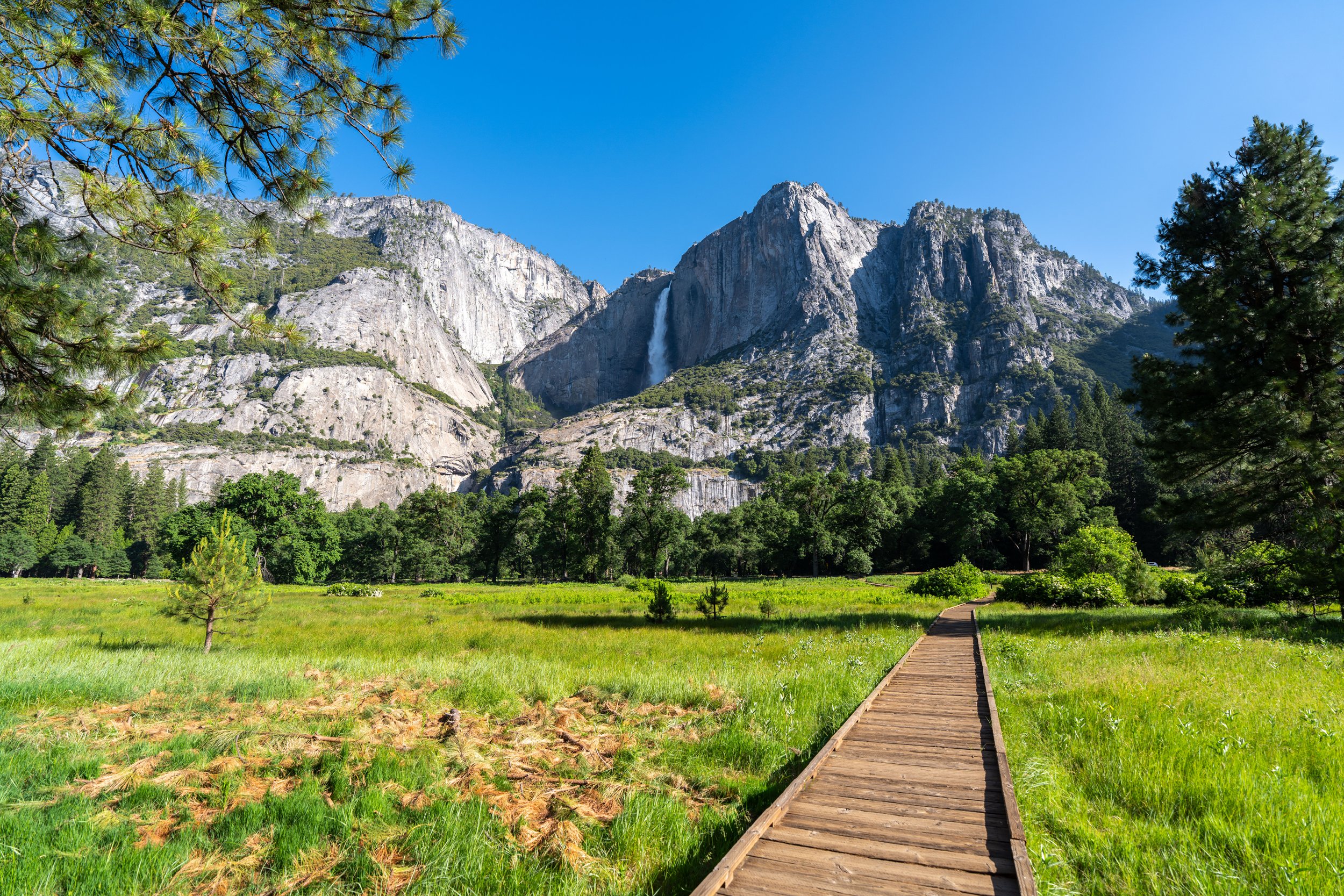
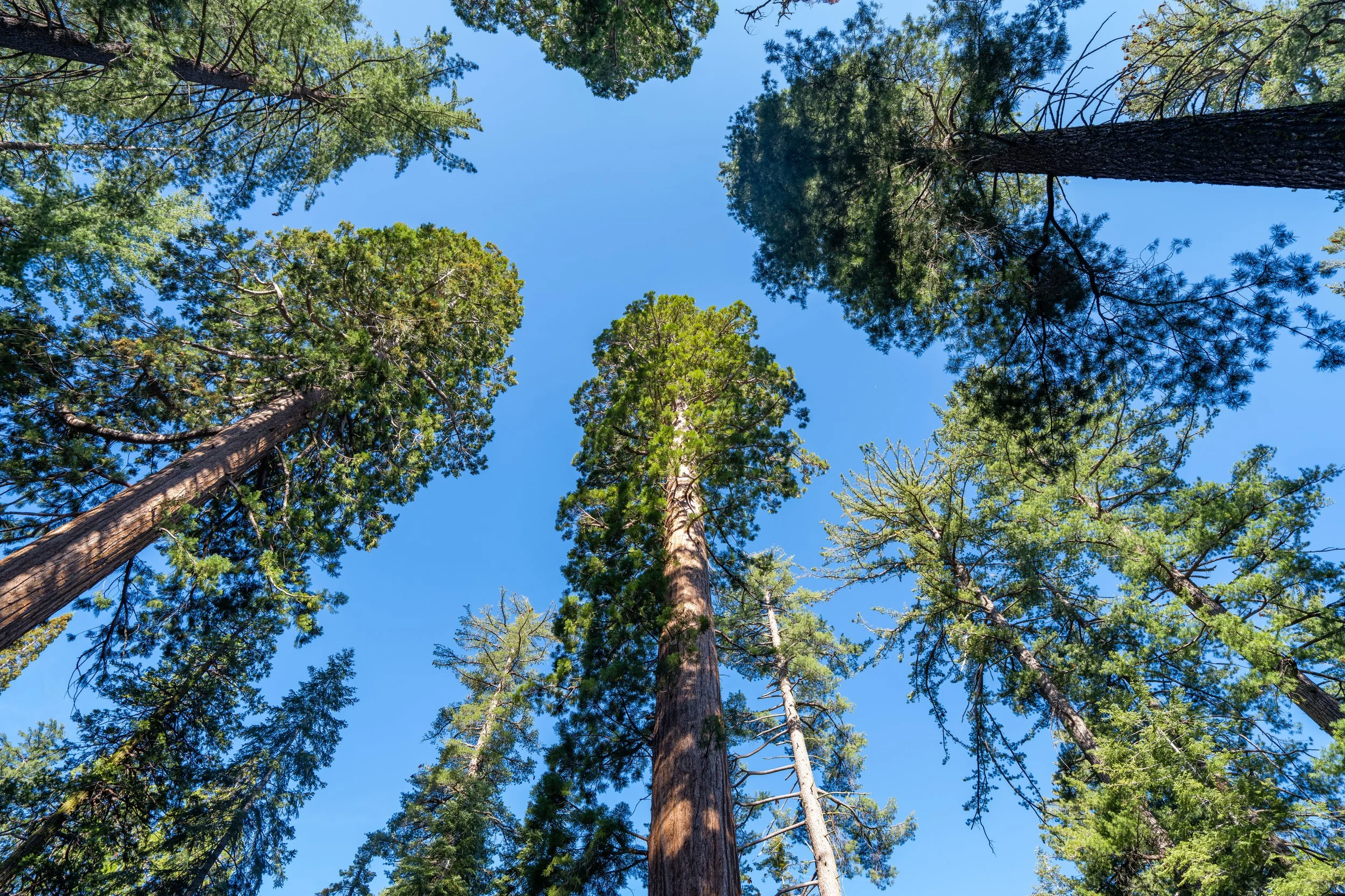
Hiking Checklist - Yosemite
Here is a complete list of must-have things that you will want for any hike in Yosemite National Park.
That said, bear spray is purposefully excluded from this list because, while the Sierra Nevadas are home to a large Black Bear population, bear spray is not allowed in Yosemite National Park.
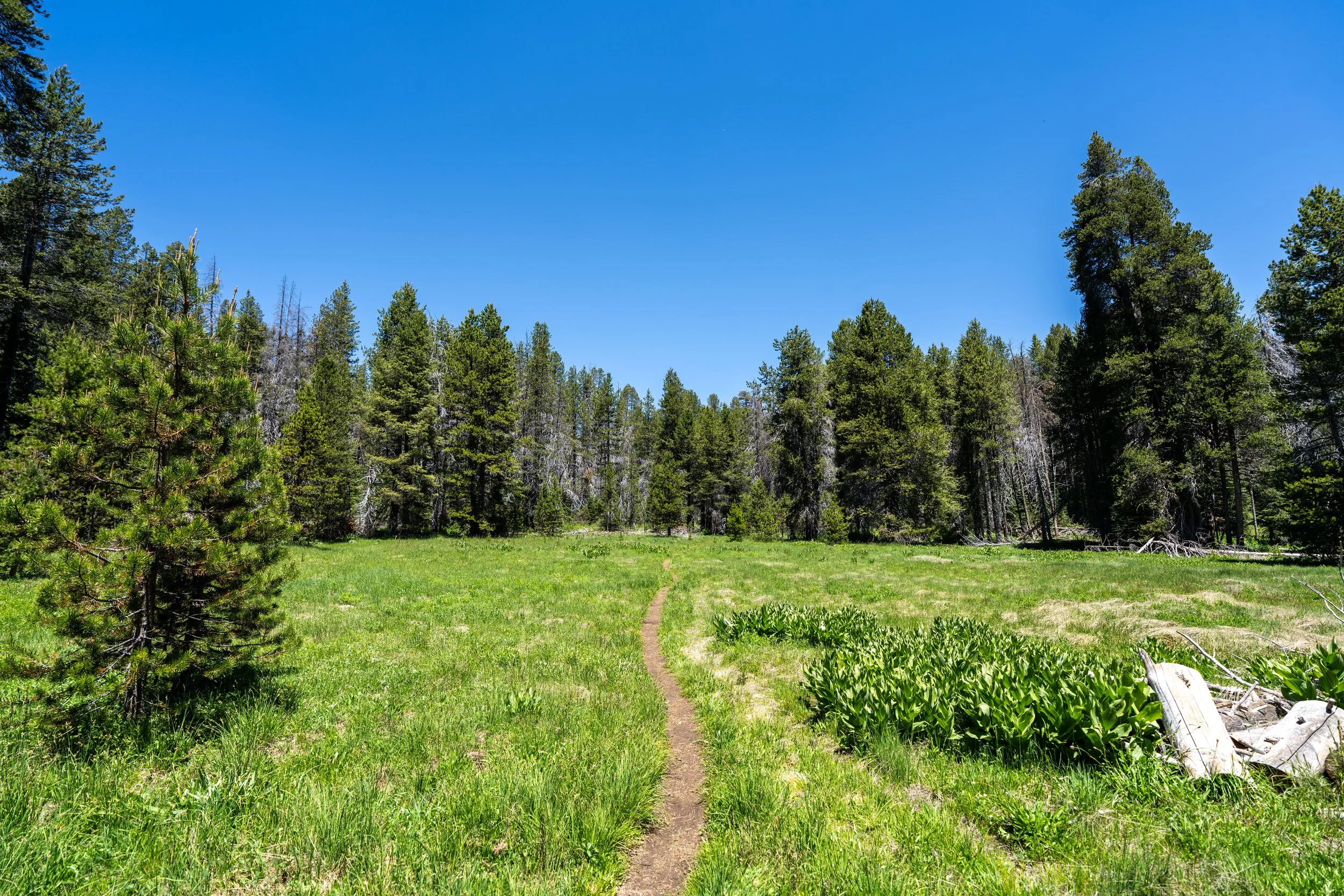
Hiking the Foresta Falls Trail
The Foresta Falls Trail simply follows Foresta Road for the entire length of the hike, about 0.9 miles (1.4 km) each way.
That said, the overarching question I had — that most hikers do — is: why not drive the road down to Foresta Falls?
The reason I didn’t is because the National Park Service has a sign stating that the road is closed, which I later learned is because Foresta Road has largely been abandoned following the 2009 Big Meadow Fire.
Since then, neglect and the failure to rebuild a key bridge have cut off the route that once connected Foresta with the Merced River Canyon.
However, I learned after hiking Foresta Road that the first section down to the waterfall seems to be regularly maintained—meaning the sections after are where it must be impassable.
All that to say, driving to Foresta Falls is likely possible, but at your own risk. I wouldn’t recommend trying if there is any snow, as I have to imagine finding help would be hard to come by.
Even though Foresta Road is likely driveable—though likely illegal—it really isn’t all that bad of a hike, as the trail loses only about 300 ft. (91 m) from the parking area to the waterfall at the bottom.
It’s always cool to see these low-elevation Lupines blooming in early summer!
This small pullout, about 0.3 miles (0.5 km) into the hike, is where some visitors park to take the short side trails down to Crane Creek to reach the upper waterfalls.
When the Foresta Road turns away from Crane Creek, the trail begins to drop down to a single switchback in the road before turning back toward the waterfall.
Even though the Foresta Falls Trail is short, I highly recommend wearing a hooded sun shirt to stay safe, as one can certainly be useful for day hikes across Yosemite National Park!
The power lines are a nice sign that the road is about to turn back toward Crane Creek.
After the switchback, there are only 0.3 miles (0.5 km) left to reach Foresta Falls!
As Foresta Road curves back toward Crane Creek, Foresta Falls should start to become visible in the distance!
Foresta Falls
Foresta Falls is located directly adjacent to the first bridge that crosses Crane Creek and it’s the lowest and tallest of all the cascades, measuring about 40 ft. (12.2 m) in total.
That said, the pool at the base of the falls can be a great place to swim and hang out—and the best part is that you’re likely to be the only group enjoying Foresta Falls, as few park visitors venture into Foresta from either Yosemite Valley or Tioga Road!