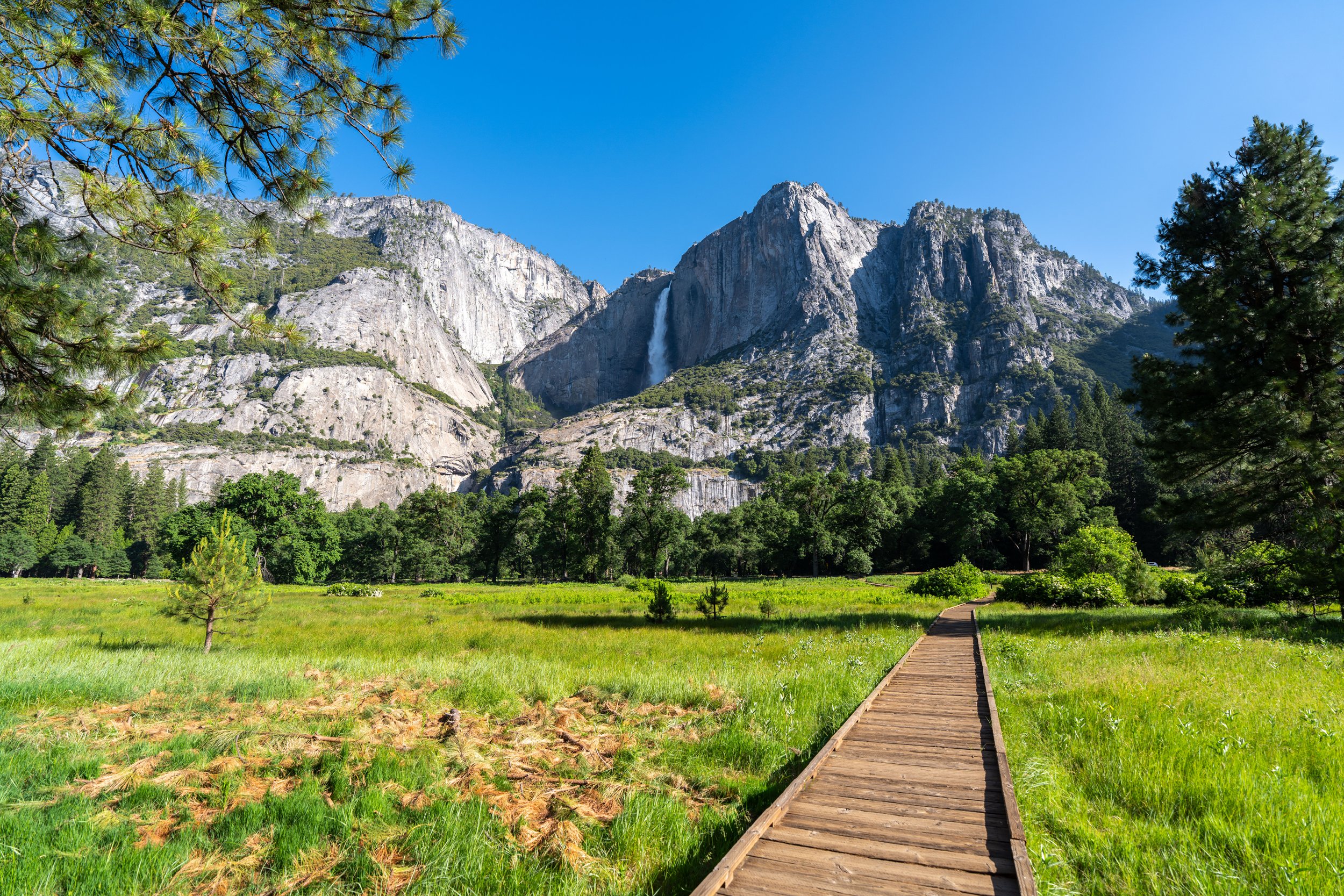
Hiking the McGurk Meadow Trail in Yosemite National Park
Distance: 3.6 miles / 5.8 km
The McGurk Meadow Trail in Yosemite National Park is an easy out-and-back day hike off Glacier Point Road that connects the road and the Bridalveil Campground to the Pohono Trail.
The trail is named after John (aka Jack) McGurk, a cattleman who used to graze livestock just a few years after the creation of the park in 1890.
Today, visitors can walk the historic trail and see Jack’s old cabin, but what really makes McGurk Meadow special is the ability to see wildlife—especially early and late in the day!
McGurk Meadow Trailhead Parking
Parking for the McGurk Meadow Trailhead is located directly off Glacier Point Road, about 7.5 miles (12.1 km) from the Wawona Road junction below.
McGurk Meadow will be the first trailhead after the Badger Pass Ski Area, but unlike the Sentinel Dome Trail and Glacier Point at the end of the road, parking for the McGurk Meadow Trail is typically much easier to come by!
Google Maps Directions: McGurk Meadow Trailhead
Hiking Checklist - Yosemite
Here is a complete list of must-have things that you will want for any hike in Yosemite National Park.
That said, bear spray is purposefully excluded from this list because, while the Sierra Nevadas are home to a large Black Bear population, bear spray is not allowed in Yosemite National Park.
Hiking the McGurk Meadow Trail
To begin the McGurk Meadow Trail, there’s the option to either start on the west side of the parking lot, as shown here, or to walk up the road a short distance to find where the McGurk Meadow/ Westfall Meadows Trail cross Glacier Point Road.
McGurk Meadow-Westfall Meadows Junction
After less than 0.1 miles (0.2 km), the McGurk Meadow Trail meets the Westfall Meadows junction that heads south on the other side of Glacier Point Road.
That said, go right at this split to continue toward the historic cabin and McGurk Meadow shortly thereafter.
After the initial split, the McGurk Meadows Trail simply navigates its way through a mixed Lodgepole Pine forest, until the trees suddenly end at the meadow—just after McGurk Cabin.
The one thing that hikers often mention in the late spring/ early summer months is how bad the mosquitoes can be, especially in the morning and evening.
This is why I highly recommend traveling to the park with one of these cheap bug nets, which can be useful here and on the Clouds Rest Trail via Sunrise Lakes — one of the most notoriously buggy places in Yosemite National Park!
It’s always nice to see Aspens across the Mountain West!
McGurk Cabin
The McGurk Cabin is a historic cabin that was said to have been built by a man named Hugh Davanay and later sold to Jack McGurk in 1895.
However, Jack’s time in Yosemite did not last long, as the U.S. Army evicted him over a title dispute just two years later, in 1897.
Today, visitors can still see what’s left of the cabin, which was stabilized by the Sierra Club and the National Park Service in 1958, and later added to the National Register of Historic Places in 1979.
McGurk Meadow
McGurk Meadow begins about 0.7 miles (1.1 km) into the hike and extends for the next 0.5 miles (0.8 km), through what I see as the most beautiful section of the entire trail!
In the early summer months, when snowmelt is at or near its peak, some sections through McGurk Meadow may be underwater.
However, these photos were taken in mid-June, following an average snow season in the Sierras, which is why the trail was mostly dry.
Something to note about low-lying, marshy areas like McGurk Meadow is that the plant species shown here is highly toxic to both humans and animals, and should be avoided wherever it’s found.
As the trail parallels the west side of McGurk Meadow, it will re-enter the forest, but this is not the end of the open meadow.
Instead, there is one more area where the trail passes through the middle of McGurk Meadow, which I recommend continuing to see—even if you don’t plan on hiking all the way to the Pohono Trail junction.
This clearing is the far northern end of McGurk Meadow, before the trail heads back into the trees, which continue all the way to the Pohono Trail junction.
When the McGurk Meadow Trail re-enters the Lodgepole forest on the far northern end of the meadow, the trail continues for another 0.7 miles (1.1 km) to the Pohono Trail.
How to See Black Bears When Hiking in the Sierras?
First of all, seeing a Black Bear when you hike is not a scary experience, and if it seems intimidating, I would say it’s likely that you don’t have a lot of familiarity hiking in areas where you expect to see them.
That said, seeing a Black Bear can be a really cool, beautiful experience, and the quiet McGurk Meadow Trail is not an uncommon place to have an encounter.
All this to say, I wrote about this same topic in my article about the Long Meadow Loop Trail in Sequoia National Park, and my best advice is to listen rather than look.
Black Bears are very easily hidden by nearby vegetation because they are so small, but if you hear sticks breaking or heavier-than-normal breathing, it’s likely not another hiker. Simply keep your distance, and you’ll likely have a pretty cool experience!
McGurk Meadow-Pohono Junction
The Pohono Trail junction is the end of the McGurk Meadow Trail, but hikers often continue here to Dewey Point, located about 2.1 miles (3.4 km) to the west of this split.
However, if you don’t have plans to hike out to Dewey Point after McGurk Meadow, I honestly don’t think the rest of the trail is worth the effort, as there are a number of other adventures off Glacier Point Road—like the Taft Point Trail, the Four Mile Trail, and the Panorama Trail—that are far better ways to spend a day hiking in Yosemite!