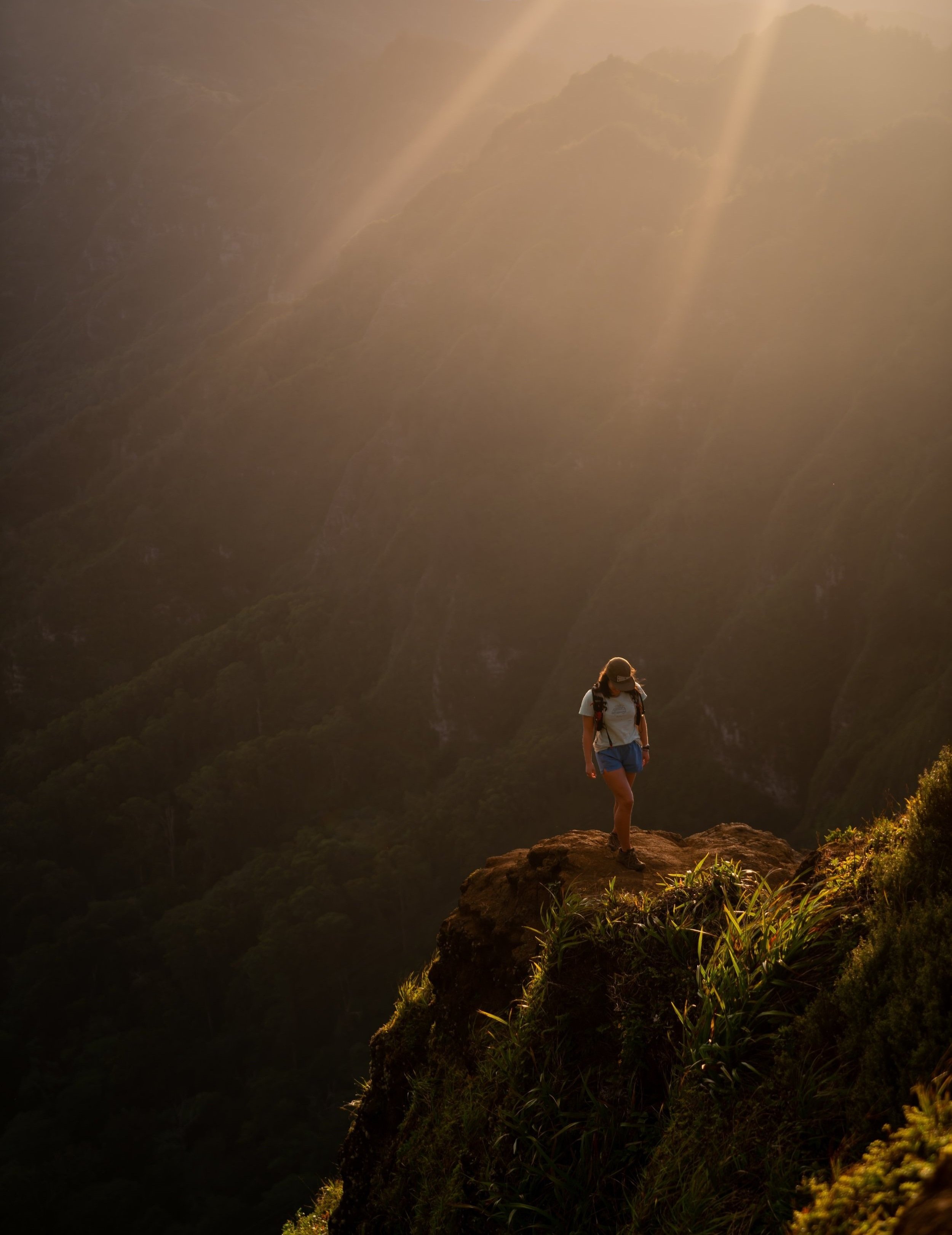
Hiking the Tripler Ridge Trail via Moanalua Valley on Oʻahu
Distance: 9.2 miles / 14.8 km
The Tripler Ridge Trail is one of Oʻahu’s least-trafficked day hikes, especially when compared to the neighboring Moanalua Middle Ridge Trail.
That said, Tripler Ridge is considered by many to be one of the more difficult trails up to the Koʻolau Summit—comparable to others on the island like ʻAiea and Kapālama Ridge.
In any case, the Triple Ridge Trail can begin from either one of two trailheads. The first is the trailhead at the top of the Tripler Army Medical Center, but DOD access is required to take this route.
The second and more common route is by way of Moanalua Valley. This route is considered to be the more difficult of the two, being that there’s an extra 900 ft. (274 m) of elevation to gain from the valley floor to the ridge.
Moanalua Valley Trailhead Parking
Parking for the Moanalua Valley Trail is located in the very back of Moanalua Valley just prior to the Moanalua Valley Neighborhood Park.
What this means is that if you’re only in the passing through the park to get to the trail, then you are required to park in the residential neighborhood just before the gate.
Google Maps Directions: Moanalua Valley Trailhead
Hiking the Tripler Ridge Trail
The Tripler Ridge Trail, via Moanalua Valley, begins on the Moanalua Valley Trail for the first 1.7 miles (2.7 km), where the ascent up Tripler Ridge begins.
On this note, there is more than one trail to ascend Tripler Ridge via Moanalua Valley, most notably the junction further up Kamananui Valley Road past Kulanaʻahane, but I always personally prefer the 1.7-mile (2.7 km) mark turn because the latter is more overgrown and compresses more of the elevation gain into a shorter distance.
This is all without saying that I recommend hiking the Tripler Ridge Trail with a good headlamp because it is one of the longer and more challenging day hikes on Oʻahu.
Kamananui Valley Road
As the Moanalua Valley Trail follows the Moanalua Stream, know that it’s generally easiest to stay on the high path whenever the trail splits to avoid unnecessary ups and downs.
The photo below is one of the first bridges that you will encounter in Moanalua Valley, which is easiest to stay on the left-hand side.
Moanlua Valley-Tripler Ridge Junction
This is the Tripler Ridge junction at the 1.7-mile (2.7 km) mark.
As previously mentioned, the trail ascending the ridge is very steep, gaining about 900 ft. (274 m) of elevation gain in only 0.4 miles (0.6 km).
This is very comparable to the Koko Crater ascent.
Tripler Ridge
This is where the connector trail from Moanalua Valley crests on the top of Tripler Ridge.
That being said, the trail to the right of this junction leads toward the Triple Army Medical Center, and the trail to the left continues up Tripler Ridge for another 2.5 miles (4.0 km) to reach the Koʻolau Summit.
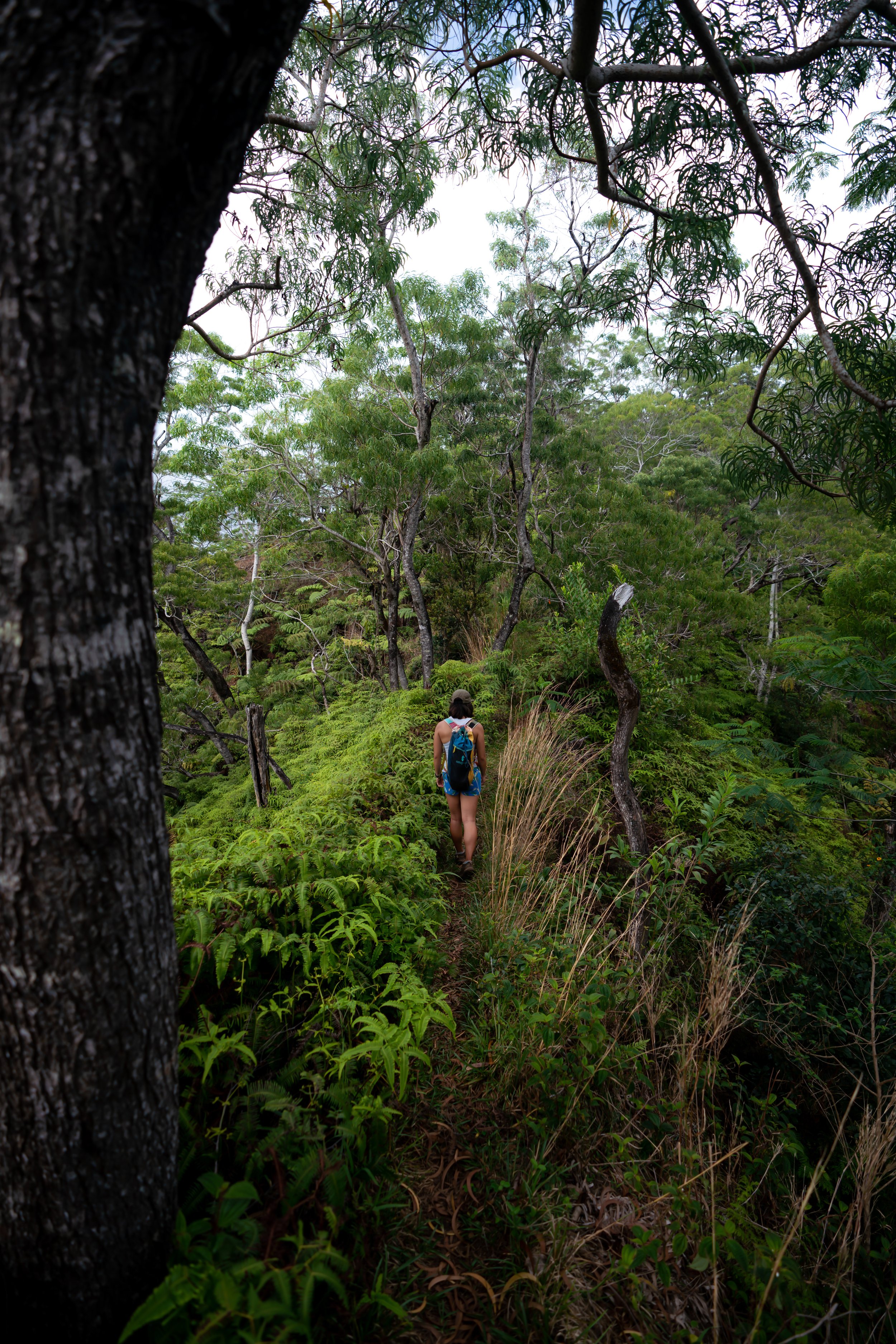
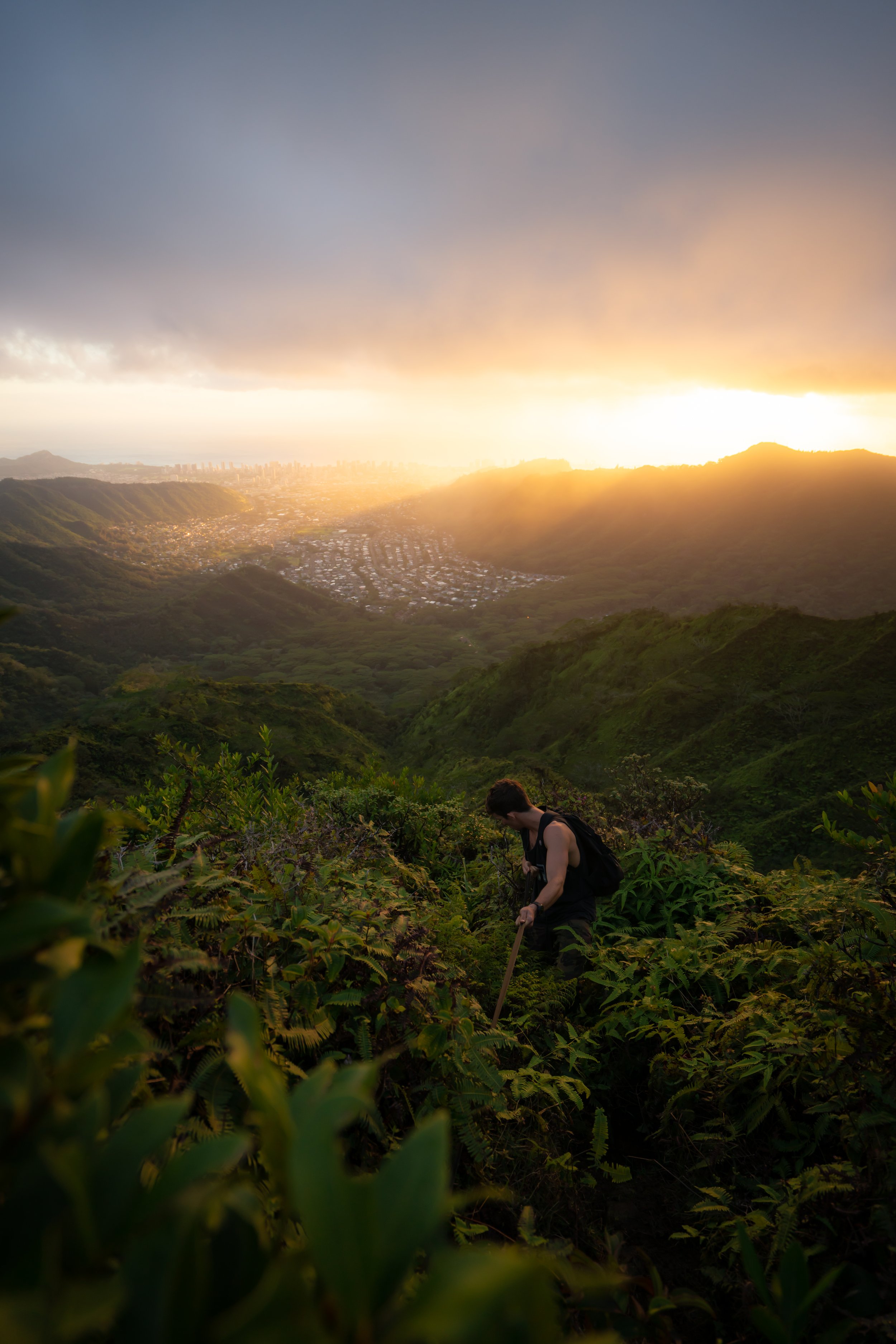
Once on the ridge, the overgrowth inevitably gets worse and worse as the trail ascends higher, which is why I recommend wearing good hiking pants.
The pants below are my recommendations that hold up the best with the overgrowth here in Hawaiʻi, but with any hiking pants that need to be durable, make sure that they are at or near 100% nylon. This is really the most important factor!
On a clear day you can see Hālawa, Stairway to Heaven, Moanalua Middle, Tripler, and Lanihuli from left to right.
Upper Tripler Ridge Junction
The area shown below is the last trail that meets with Tripler Ridge from Moanalua Valley at the end of the Kamananui Valley Road. This is the more overgrown route that I don’t recommend as much as route from the 1.7-mile (2.7 km) mark.
From the Upper Triple Ridge junction, the trail climbs a few more hills just before reaching the Koʻolau Summit.
Kahoʻomoe ʻihikapulani (Tripler Summit)
From the summit of Kahoʻomoe ʻihikapulani, more commonly known as Tripler Summit, you can see amazing views across much of Oʻahu’s east side, including notable places like Mt. Olomana, Puʻu Māʻeliʻeli, Mokoliʻi, and the Lanikai Pillboxes.
It’s a very popular option to hike north on the 0.5-mile (0.8 km) section of the Koʻolau Summit Trail (KST) to the Moanalua Middle Summit, but I want to caution against exploring the KST if you didn’t prepare for it.
By this, I mean that any hike along the KST is generally considered to be more difficult than the ridges to get there, which is why I recommend turning back down Tripler Ridge if you had not prepared for the sections to come.
Read My Separate Post: Koʻolau Summit Trail (KST)
Warning
Since Bowman to the south is a less-than-ideal access trail for the Koʻolau Summit, I wanted to make a mention of the Kalihi Saddle, as Tripler Ridge is more than likely the access trail of choice for those interested in hiking the north side of Kalihi from the top down.
All I can say is that the Kalihi Saddle is not meant for 99.9% of hikers. The Koʻolau Summit down to the Power Line Trail is extremely eroded, it’s surrounded by areas where a fall would most certainly be fatal, and the ridge only continues to get worse and worse as more hikers attempt to complete the entire trail.
Seriously, stay safe out there! I have lived through the worst possible outcome, regarding a close friend of mine.
Native Plants on the Tripler Ridge Trail
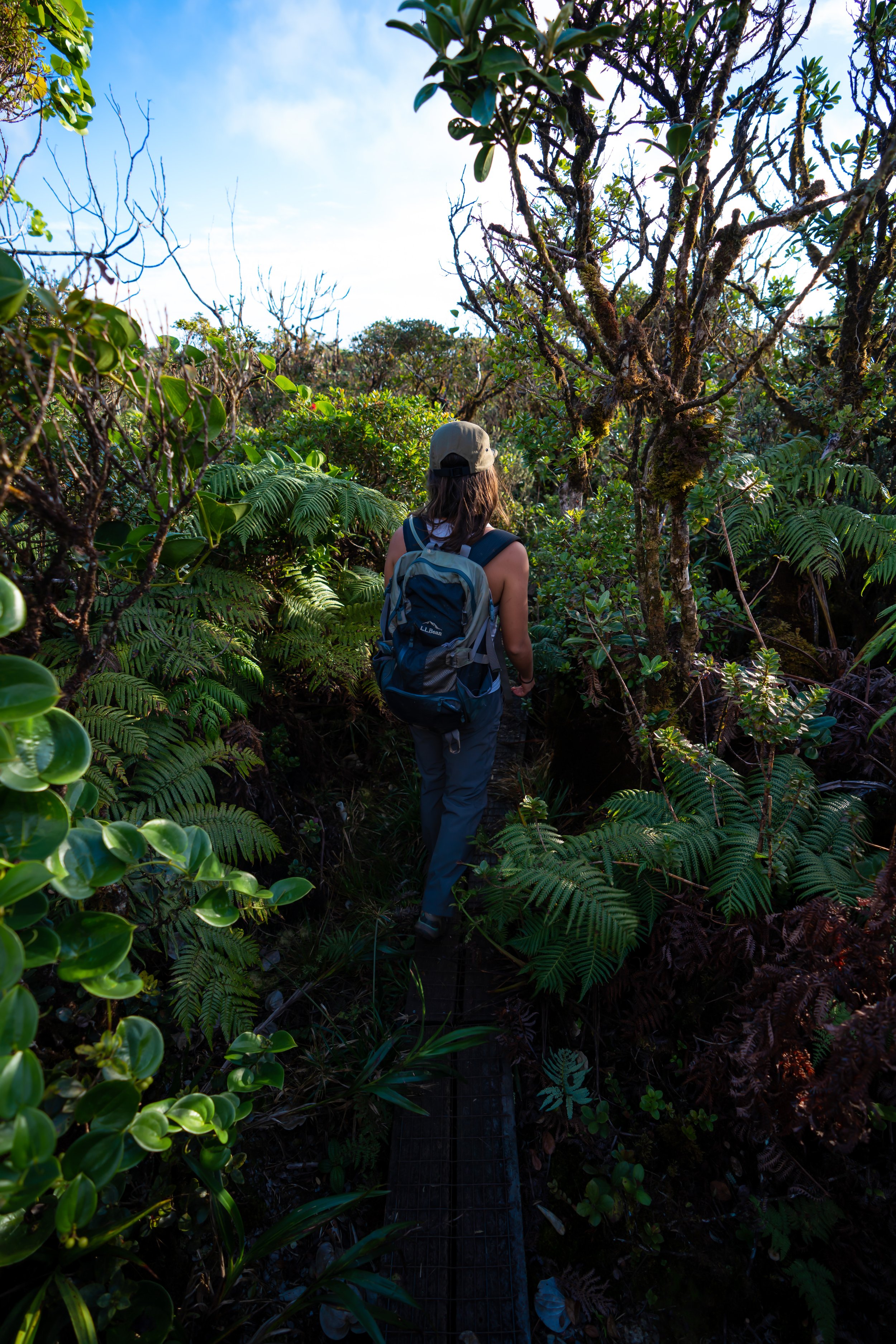
The Moanalua Valley Trail is not the best trail for finding native Hawaiian plants other than Hau. However, Tripler Ridge to the Koʻolau Summit is one of the more beautiful Hawaiian forests, especially once you reach the upper elevations of the trail.
Some of these include various species of ʻŌhiʻa lehua, ʻAhakea lau nui, Kōpiko, Koa, Uluhe, Kōlea, Kokolau, Māmaki, and Loulu, to truly only name a few.
If you would like to learn more about these and tons of other native Hawaiian plants from across the islands, I encourage you to check out my separate post linked below.
Read My Separate Post: Native Hawaiian Plant Guide


