Hiking the Kapālama Ridge Trail to Puʻu Lanihuli on Oʻahu, Hawaiʻi
Distance: 7.6 miles / 12.2 km
The Kapālama Ridge Trail to Puʻu Lanihuli on Oʻahu is one of the more challenging ridge trails in the southern Koʻolau Mountains, comparable to only a few others, like the Wailupe Loop Trail, Mauʻumae Ridge to Puʻu Lanipō, and the Kūlepeamoa Ridge Trail.
This is because the Kapālama Ridge Trail, along with these other examples, sees fewer hikers compared to neighboring trails, such as the Puʻu Kōnāhuanui Trail.
Now, this all goes without mentioning that Puʻu Lanihuli, the summit of Kapālama Ridge, is a standalone peak above the Honolulu skyline—meaning the summit sits between both the Kalihi Saddle to the north and the Nuʻuanu Saddle to the south. I mention this because hiking in either direction off the 2,780-ft. (847 m) peak on the Koʻolau Summit Trail (KST) should not be attempted by most hikers, as these are two of the most challenging and potentially life-threatening sections on the entire KST!
Kapālama Ridge Trailhead Parking
Parking for the Kapalāma Ridge Trailhead is located near the top of ʻĀlewa Heights within or near the Na Pueo Mini Park.
I say near because there are really so few places to park within the park, but if you think you’ll be back after the park gate locks in the evening, it’s best to leave your car on ʻĀlewa Drive.
Google Maps Directions: Na Pueo Mini Park
Hiking the Kapālama Ridge Trail
From the Na Pueo parking lot, the trailhead is located in the back of the park toward the water tank, as shown in the photos below.
Kapālama Contour Trail
When you get to the water tank in the photo above, go right, which is where the Kapālama Ridge Trail begins.
This trail will contour Kapālama Ridge for about half a mile until you get past all of the residential houses in the ʻĀlewa Heights neighborhood.
Then, after about 0.5 miles (0.8 km), the trail will regain the ridgeline, where it begins following the fence in the photo below.
Note that after the contour, Kapālama Ridge will remain on the ridge for the remaining hike to the summit.
After the fence, make a mental note when you reach this little turn on the ridge.
This will be important for the hike back, and it can be very easy to miss, especially if it’s dark and there are no ribbons.
At about the halfway point through the Ironwoods and Cook pines, I found this little Jackson’s chameleon hanging out on this log.
Eventually, the trail makes an abrupt transition from the Cook pine forest to a mixed Uluhe-Koa-ʻŌhiʻa forest, which will continue for much of the remaining hike to the summit.
That said, the overgrowth from the Uluhe doesn’t start to get worse until the Kamanaiki Ridge junction, at about the 2.8-mile (4.5 km) mark.
The Alarm Clock
The alarm clock on Kapālama Ridge is a little-known secret.
By this, I mean that many years ago, some hiker put an alarm clock in one of the trees right in this area.
However, even after many hikes up Kapālama and being told exactly where to look, I’ve still never seen it. If you know more, please leave a comment below!
Where the ridge on the left, known as Kamanaiki Ridge, meets up with Kapālama, the hike reaches a bit of a mental 'halfway' point.
By this, I mean that when ridges come together, it’s a good mental checkpoint to differentiate between the easier and more maintained sections, and the slightly more challenging sections that lead to the summit.
Kapālama-Kamanaiki Ridge Junction
The small opening in the photo below is where Kamanaiki Ridge, out of Kalihi Valley, meets with the Kapālama Ridge Trail.
On a side note, I would never recommend Kamanaiki Ridge, as it’s very overgrown, since so few hikers traffic the trail.
After the Kapālama-Kamanaiki junction shown above, expect the rest of the trail to be a bit slower and more overgrown than the ridge up to this point.
For this reason, I recommend wearing hiking pants to help with the overgrowth that increases toward the Koʻolau Summit, which is comparable to other Oʻahu hikes, such as Schofield-Waikāne or Waimano.
The pants below are my recommendations that hold up the best with the overgrowth here in Hawaiʻi, but with any hiking pants that need to be durable, make sure that they are at or near 100% nylon. This is really the most important factor!
Not long after the previous junction, the Kapālama Ridge Trail drops slightly before the final ascent up to the summit.
Following this descent, the rest of the hike climbs between 500-600 ft. (152-183 m) up the final ridge to the top.
Kapālama Ridge Summit
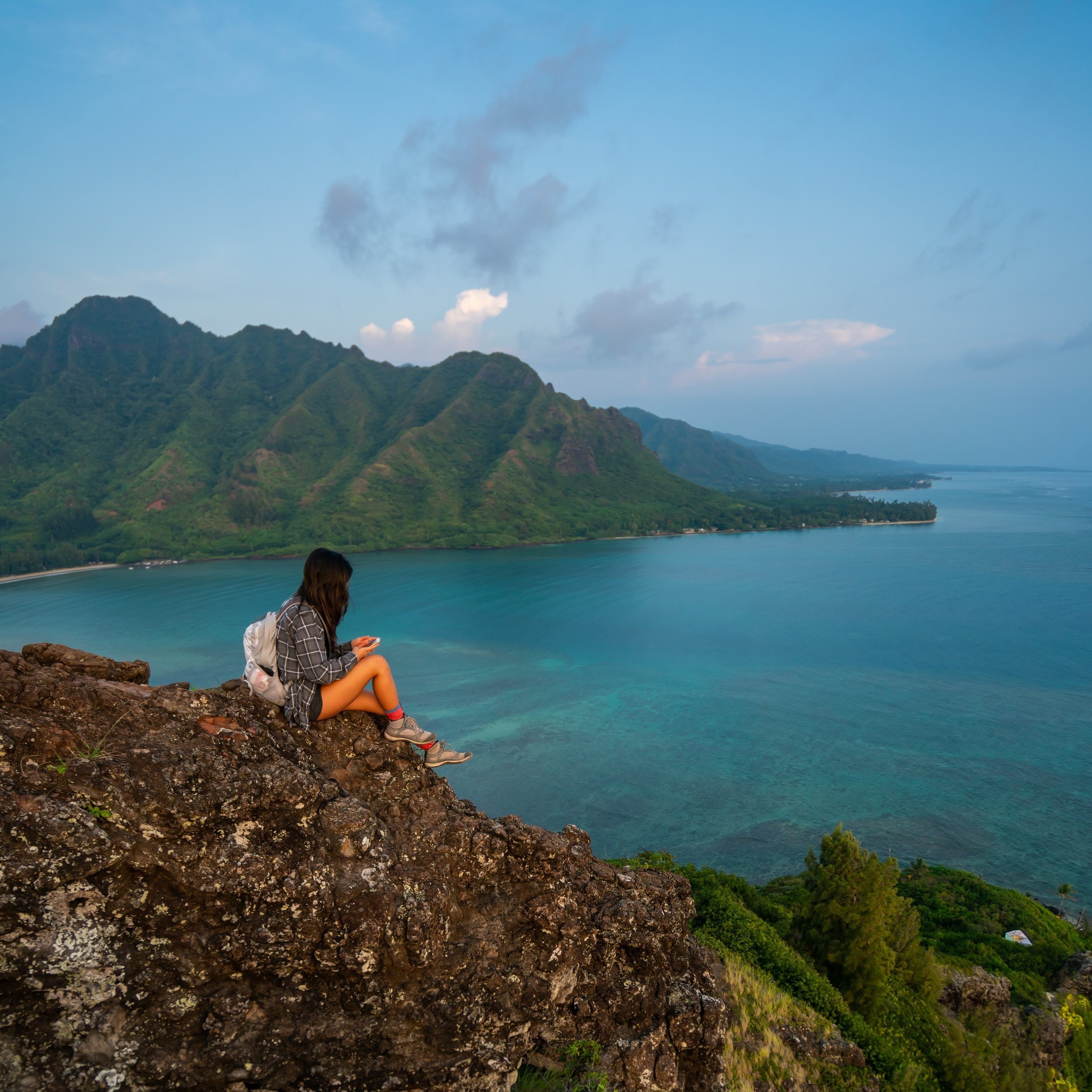
From the summit of the Kapālama Ridge Trail, you can see as far as Kualoa Ranch and Mokoliʻi to the north, and much of Oʻahu’s east side to the southeast.
However, this goes without saying that simply catching the summit on a clear day is a challenging thing to do, as the photo showing the ascent above is from a completely different day than the photos taken below.
In any case, it should be noted that the Kapālama Ridge Summit is not the true Puʻu Lanihuli summit, but rather, it’s the next peak over to the right (south) on the KST.
If you are interested in making the traverse over to the true summit, this is the small portion on the KST to get there.
However, in terms of what’s more beautiful or having a better view, both are very comparable to one another.
Puʻu Lanihuli ('True Lanihuli')
After the short traverse from the Kapālama Ridge Summit, Puʻu Lanihuli tops out at the true summit, standing at 2,780 ft. (847 m) above both Kalihi to the north and Nuʻuanu to the south.
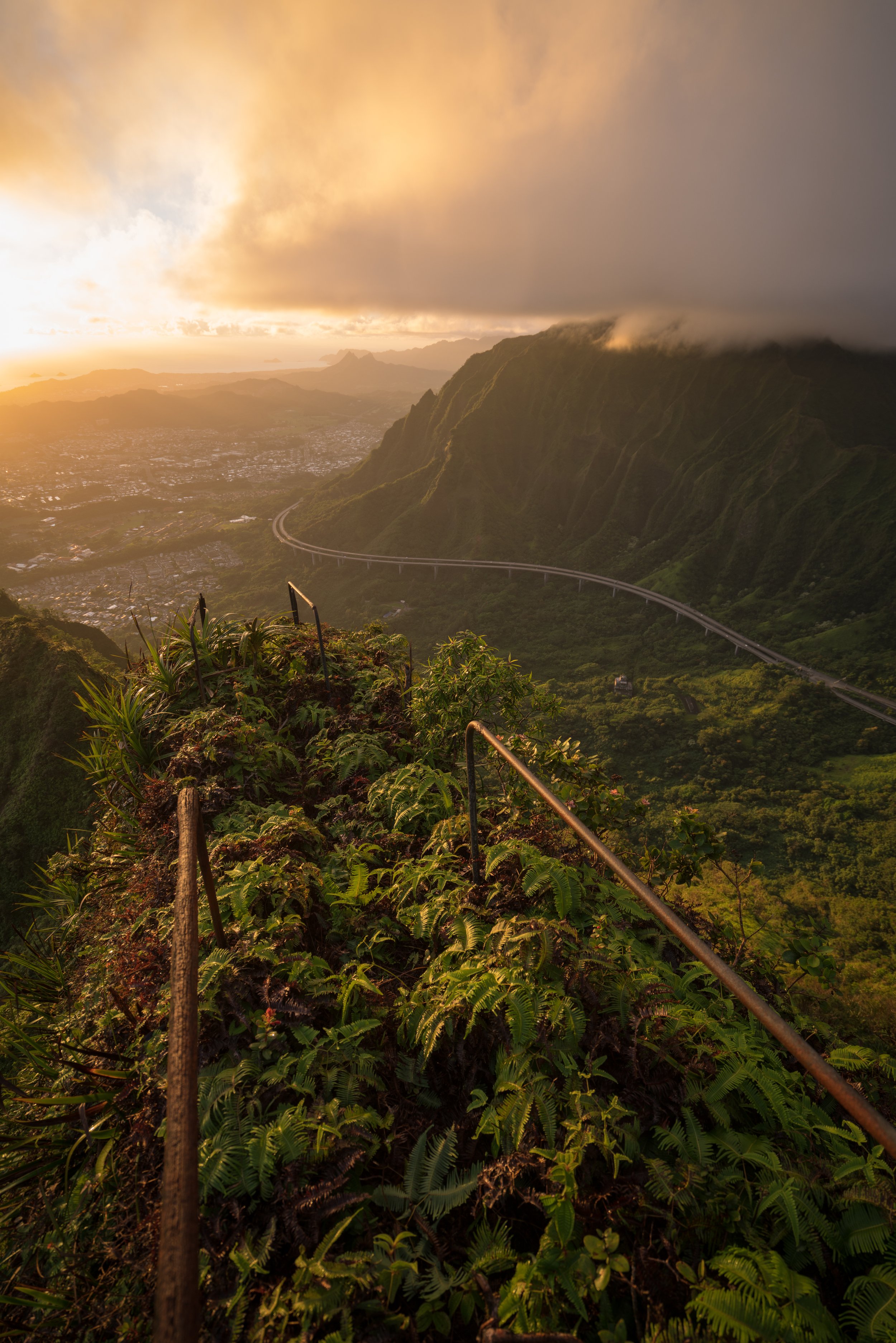
Koʻolau Summit Trail (KST)
Warning
While the Kapālama Ridge Trail is a great hike for accessing certain parts of the Koʻolau Summit, that doesn’t go without saying that both the Kalihi Saddle to the north and the Nuʻuanu Saddle to the south are two of the most challenging and dangerous sections on the entire KST.
Therefore, if you did not prepare in advance to proceed further than Puʻu Lanihuli, I strongly advise turning back around at the summit.
Read My Separate Post: Koʻolau Summit Trail (KST)
Native Plants on the Kapālama Ridge Trail
Once the trail makes it above the non-native Ironwood-Cook pine forest, there are a variety of native plants to look out for, such as ʻŌhiʻa, ʻIeʻie, Koa, Alani, ʻAhakea lau nui, and even a few ʻOhe Mauka trees that can be seen along the ridge.
If you would like to learn more about these and many other native Hawaiian plants from across the islands, I encourage you to check out my separate post linked below.
Read My Separate Post: Native Hawaiian Plant Guide