Kayaking & Hiking Mokoliʻi (Chinaman’s Hat) on Oʻahu, Hawaiʻi
The Island of Mokoliʻi, commonly referred to as Chinaman’s Hat, is a beautiful small islet off the east side of Oʻahu in Kāneʻohe Bay, where those willing to cross the 0.3-mile (0.5 km) channel can enjoy everything from kayaking, hiking, rock climbing, and swimming at the beach on the far side of the island!
That said, kayaking to Mokoliʻi is easily the most popular option to get to and from the island, and it’s what I recommend if you’re a first-time visitor.
All this to say, if you’re up for a fun, offshore adventure, kayaking to Chinaman’s Hat is without a doubt one of the best things to do on Oʻahu!
How to Get to Chinaman’s Hat?
There are a number of ways to get to Mokoliʻi, but the most popular and most practical option is to kayak the short distance from Kualoa Regional Park.
Where to Rent Kayaks for Chinaman’s Hat?
There are several kayak rental operators across east Oʻahu, but for out-of-state visitors, that presents the challenge of getting a kayak rental to and from Kualoa Regional Park.
However, by making a reservation with the operator below, the entire hassle of renting, transporting, and returning a kayak to and from Kualoa can be can be completely avoided.
Additionally, one of my favorite things about booking through Viator is the reserve-now-and-pay-later option. As long as you’re booking more than three days in advance, you have the option to book ahead and cancel in the future if you change your mind.
Mokoliʻi (Chinaman’s Hat) Parking
Parking Mokoliʻi Island is best in one of the last parking lots within Kualoa Regional Park.
By this, I mean that the further toward the lifeguard tower you park, the closer the paddle will be to Mokoliʻi.
Google Maps Directions: Kualoa Regional Park
Gear for a Mokoliʻi Day Trip
The most important gear you will need for a day trip to Chinaman’s Hat is:
Hiking/ Water Shoes
Sun Hat
2-3L of Water/ person
Dry Bag
Sunscreen
Additionally, I think it’s worth noting that a waterproof daypack is by far more useful than a simple dry bag for the steep sections on the hike up Chinaman’s Hat.
You will want your hands to be free during these sections, which is why I highly recommend the pack linked below.
Kayaking to Mokoliʻi (Chinaman’s Hat)
Kayaking to Chinaman’s Hat should take somewhere between 20-30 minutes for most moderately fit people.
That being said, I don’t recommend swimming across the channel because 0.3 miles (0.5 km) is a lot longer than it may seem!
Mokoliʻi
Most people leave their kayaks and paddle boards on the closest side of Chinaman’s Hat before setting off to explore the island.
Hiking up Chinaman’s Hat
Distance: 0.25 miles / 0.4 km
Hiking to the top of Mokoliʻi is absolutely not meant for all people, of all abilities.
While the route to the top is very short and straightforward, there is a fair bit of exposure throughout numerous climbing/ scrambling sections because the trail is so steep.
That being said, these same sections are areas where you cannot fall or it would certainly mean serious injury or death. Keep in mind that rescue services will be slower, as they have to make their way to the offshore islet.
There is only one route up Mokoliʻi, which is the same side of Chinaman’s Hat that you can see from Kualoa Regional Park.
All other sides of the island are far too steep, meaning that the front face of Mokoliʻi is the only way up and down.
At this split, go right for the best route to the top.
Not long after leaving the water, the Mokoliʻi Summit Trail traverses numerous exposed sections, with the one just below the summit being the most dangerous.
Additionally, when the soil on Mokoliʻi is dry, the loose dirt can be very slippery in parts.
That’s why I recommend wearing shoes that are not only good in the water but also shoes that go around your heel.
Mokoliʻi Summit Climb
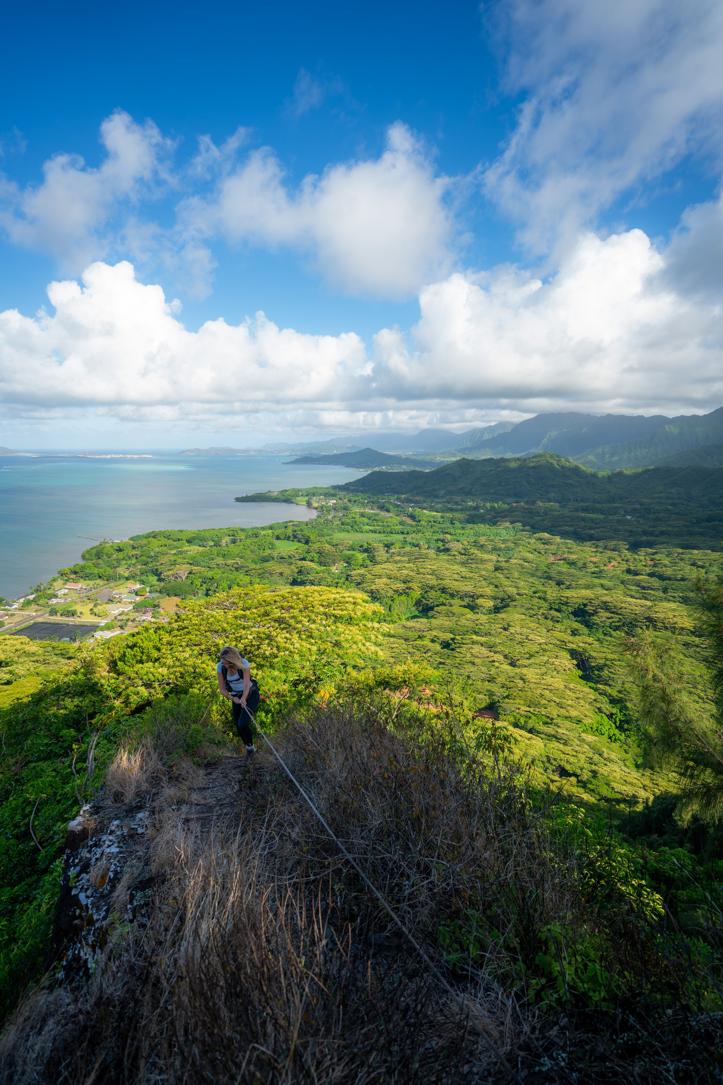
The next few photos, just below the summit, show the steepest and most exposed sections on the entire trail.
There are two different ways to climb up, but I don’t believe that one is necessarily easier than the other.
The person in this photo is coming down from the left route, but the photos I have of the rope is the route on the right.
Mokoliʻi Summit
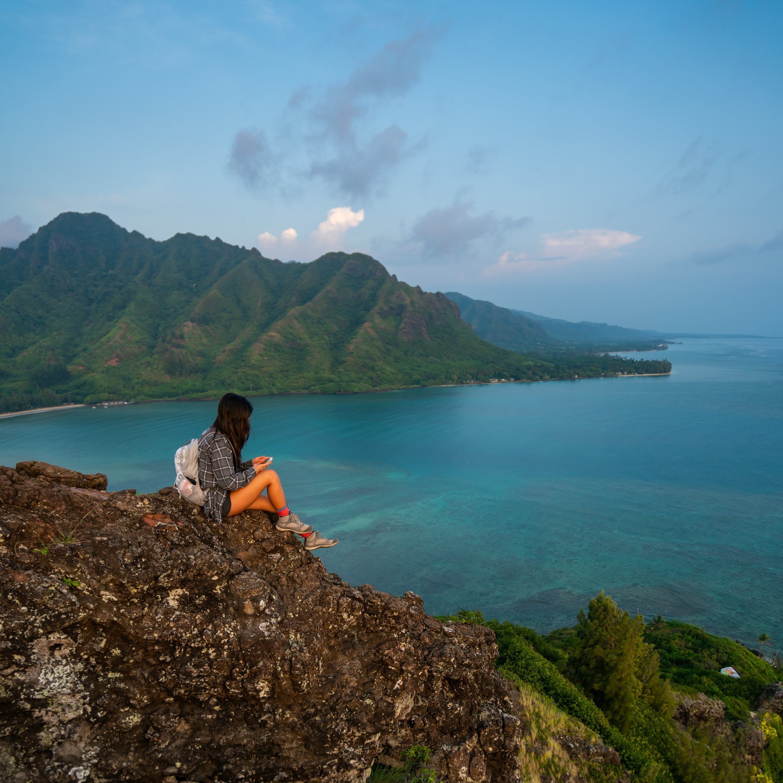
From the summit of Mokoliʻi, you’ll have expansive views of Kualoa, Puʻu ʻŌhulehule/ Pride Rock, and much of Oʻahu’s east side!
Hiking Around Chinaman’s Hat
If you hiked up to the top of Chinaman’s Hat, head back down the same way until you reach the bottom of all the climbing/ scrambling sections.
Here, there should be a trail heading straight down to the water that’s different from the main Mokoliʻi Summit Trail from the main kayak landing.
Even if you see multiple paths down to the water, follow the most obvious path.
The overgrowth can get bad very quick if you don’t take the clearest route.
Mokoliʻi Loop Trail
Distance: 0.4 miles / 0.6 km
The distance above represents the length of the loop around the Mokoliʻi, ending at the main kayak landing from the beginning.
Once down at the water, simply follow the trail around Mokoliʻi, which will eventually reach the beach on the far side of the island.
I typically find it easiest to hike up and around the rocks in this section.
Mokoliʻi Beach
The beach on the far side of Chinaman’s Hat is one of the best parts about visiting the island!
When the waves aren’t too big, the small beach is one of the best places to swim and even enjoy the small sea cave next to the sand!
If you chose not to hike up and around Chinaman’s Hat, as shown above, then this small stretch around the island is all you would need to hike to reach the beach from the main landing.
Overall, exploring Mokoliʻi may seem like a quick trip, but on my last trip out, I easily spent 5 hours on Mokoliʻi due to all the exploring we did!
Make sure you pack plenty of food, water, and sunscreen for the long day.


