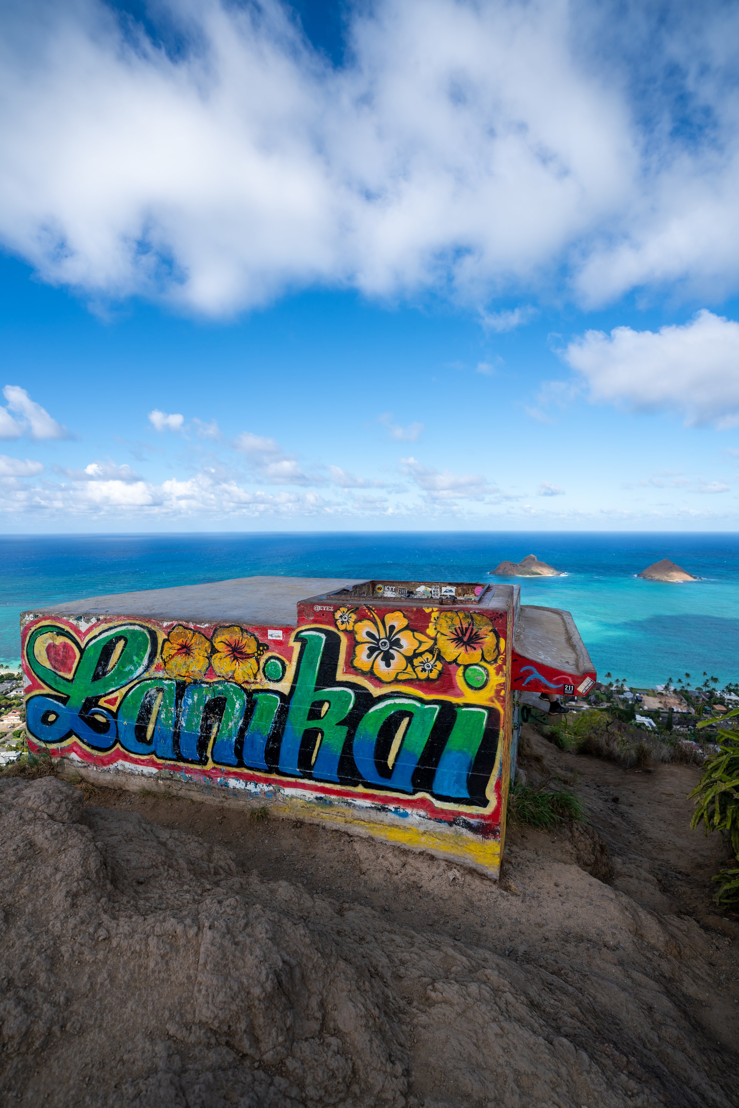
Hiking the Kuliʻouʻou Ridge Trail on Oʻahu, Hawaiʻi
Distance: 4.2 miles / 6.8 km
Elevation Gain: ~1,650 ft. / 503 m
The Kuliʻouʻou Ridge Trail in the southeastern Koʻolaus on Oʻahu is the best of the best when it comes to hiking on the island!
By this, I mean that Kuliʻouʻou Ridge is, without a doubt, one of the best sunrise hikes on Oʻahu, the summit is one of the most scenic viewpoints on the island, and Kuliʻouʻou is one of the 'easier,' more accessible day hikes—given that the difficulty of reaching similar viewpoints on Oʻahu only increases from here.
This is all to say that the Kuliʻouʻou Ridge Trail is one of my favorite hikes on Oʻahu, but because it is so beautiful, Kuliʻouʻou Ridge is also one of the more popular day hikes on the island, which is why I recommend hiking the trail early in the morning—primarily because of the way the sun rises and the fact that parking is easiest to find early in the day.
Kuliʻouʻou Ridge Trailhead Parking
Parking for the Kuliʻouʻou Ridge Trail is located in the very back of Kuliʻouʻou Valley on Kālaʻau Place, about 20-25 minutes away from Waikīkī.
That said, parking on Kālaʻau Place has very limited space for both residents’ cars, as well as hikers all fighting for the same spots. For this reason, parking is one of the biggest reasons that I recommend starting early—especially on weekends!
Google Maps Directions: Kuliʻouʻou Ridge Trailhead
Hiking the Kuliʻouʻou Ridge Trail
The Kuliʻouʻou Ridge Trail begins at the very end of Kālaʻau Place, following a service road for the first 0.1 miles (0.2 km) to the true trailhead on the right-hand side.
Kuliʻouʻou-Puʻu ʻO Kona Junction
After a short distance, go right at this split to leave the service road and begin the Kuliʻouʻou Ridge/ Valley Trail, which will follow the same path for the first 0.25 miles (0.4 km).
On a different note, the service road that continues to the left is the route for the Puʻu ʻO Kona Trail, which can be connected by way of the Koʻolau Summit Trail (KST) once at the top. This is where the name Kuliʻouʻou Loop Trail comes from.
Read My Separate Post: Puʻu ʻO Kona Trail
What’s Going on Here?
The vast majority of the lower elevations in Kuliʻouʻou Valley are dominated by non-native, invasive species, like Koa Haole, Logwood, and other grasses.
However, thanks to the amazing volunteer work by the state partnership with the Aloha Tree Alliance, the Kuliʻouʻou Ridge and Valley Trails are being reforested with native Hawaiian plants—species that have historically thrived in Kuliʻouʻou, like ʻAʻaliʻi, ʻIlieʻe, Wiliwili, Kou, among many others.
If you’d like to donate to the efforts or even volunteer, all the information can be found on their website linked below.
Donate & Volunteer: Aloha Tree Alliance
Kuliʻouʻou Ridge-Kuliʻouʻou Valley Junction
After 0.25 miles (0.4 km), the Kuliʻouʻou Ridge Trail splits from the Kuliʻouʻou Valley Trail, which is essentially a short, 0.5-mile (0.8 km), out-and-back trail that leads up the bottom of Kuliʻouʻou Valley.
That said, go right at this split to continue up the Kuliʻouʻou Ridge Trail and begin the switchbacks.
Read My Separate Post: Kuliʻouʻou Valley Trail
Following the Kuliʻouʻou Valley junction, the Kuliʻouʻou Ridge Trail will climb 12 or 13 switchbacks—depending on how you count—to ascend out of Kuliʻouʻou Valley and onto Kuliʻouʻou Ridge up above.
If you are familiar with other hikes on Oʻahu, these switchbacks are not nearly as steep as trails like the nearby Koko Crater Stairs, or the final ascents up Hawaiʻi Loa and Wiliwilinui Ridge.
For the most part, there aren’t many places to enjoy the view on the way up the Kuliʻouʻou Ridge Trail, as the hike is mostly forested—apart from this area and the uppermost elevations near the Koʻolau Summit.
These Alaheʻe trees are among the few native plants that were still surviving before the restoration work began in Kuliʻouʻou Valley.
Clearings like this are made to remove invasive species as part of the restoration work underway on Kuliʻouʻou Ridge.
For those who like a good challenge, the Kuliʻouʻou Ridge Trail can make for a great trail run, with the fastest known time currently at 23:02, making my much slower time at 30:26 look pretty weak!
That said, Kuliʻouʻou Ridge can be a steep but fun run—as long as you have good shoes for the typically muddy upper elevations, like the ones I use, linked below.
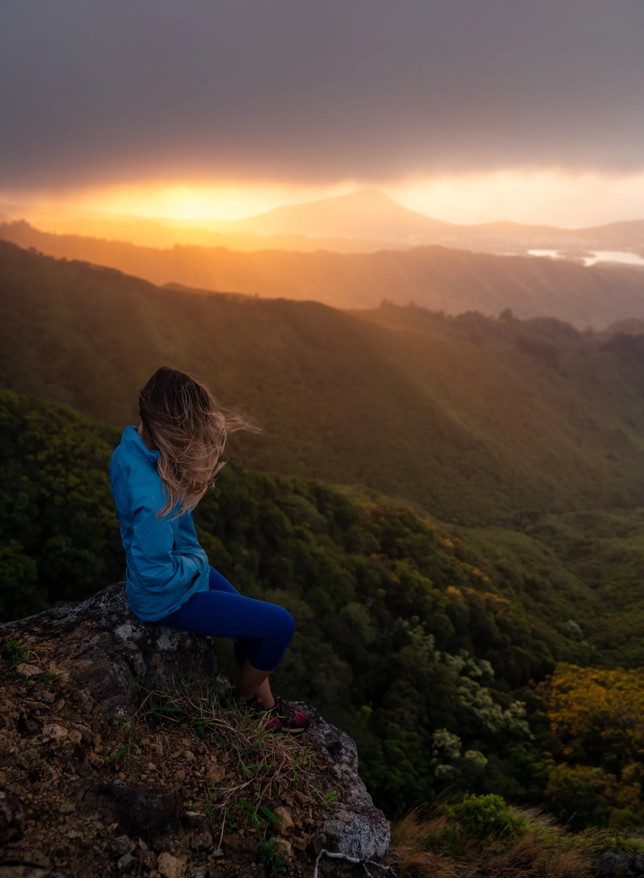
In addition to running, the Kuliʻouʻou Ridge Trail is one of the best sunrise hikes on Oʻahu, which is exactly when the cover photo at the top of this article was taken.
However, it’s important to mention that hiking at sunrise inevitably means this lower forest will be very dark, as the early morning light is blocked by the mountains.
This is why I highly recommend traveling to Hawaiʻi with a good headlamp, which can certainly be useful here on Kuliʻouʻou Ridge and countless other sunrise and sunset hikes, like Puʻu Māʻeliʻeli on the east side of Oʻahu, and the ʻEhukai Pillbox Trail on the North Shore.
These are some of the uppermost conservation efforts underway, but as the years go on, I suspect the Kuliʻouʻou Ridge Trail will look much different, as volunteers continually fight back against the non-native Acacia trees overhead.
These signs about short-cutting refer to a shortcut that hikers once used to descend straight down the slope instead of following the switchbacks.
However, since restoration work began on the Kuliʻouʻou Ridge Trail, nearly all the old paths have been blocked off and grown over.
When the Kuliʻouʻou Ridge Trail begins to transition into a forest dominated by Ironwood trees, it’s a nice sign that you’re entering the upper third of switchbacks and getting close to the crest of the ridge!
Cook Pine trees, like this one on the right, are another great sign that the switchbacks are nearing the top of Kuliʻouʻou Ridge!
This is the final switchback before the Kuliʻouʻou Ridge Trail reaches the top of the switchbacks!
Kuliʻouʻou Ridge-Hahaʻione Junction
This is where the Kuliʻouʻou Ridge Trail finally reaches the top of the ridge, which it will follow for the rest of the hike to the summit.
Once here, pay close attention to this area in the photos below, as hikers have gotten lost at this split in the past by missing the turn down the ridge and accidentally continuing toward the Hahaʻione-Pyramid Rock Trail.
That said, go left on the hike up Kuliʻouʻou Ridge, and right on the hike back down.
Read My Separate Post: Pyramid Rock Loop Trail
'Narnia'
Once on the top of Kuliʻouʻou Ridge, the trail enters what locals refer to as 'Narnia,' because of the way the wind sounds as it blows through the Ironwood–Cook Pine forest atop the ridge, which continues until the hike reaches uppermost native elevations of the hike.
Kuliʻouʻou Shelter
After 1.4 miles (2.3 km), the trail reaches the Kuliʻouʻou Shelter—one of the most common places to take a break on the hike up—much like similar shelters on other Oʻahu trails, such as the Keālia Trail or the 2.0-mile (3.2 km) shelter on Mānana Ridge.
After the Kuliouʻou Shelter, the Kuliʻouʻou Ridge Trail begins to get steeper and steeper, which will continue for much of the remaining hike to the Koʻolau Summit.
It’s honestly quite impressive to see a native Loulu palm growing this far down the mountain in a forest dominated by invasive species, as they typically thrive at some of the highest and wettest elevations on the island.
This is the bottom of the longest, steepest hill before the stairs near the end of the Kuliʻouʻou Ridge Trail, and it’s a nice sign that the lower canopy is almost over, which will abruptly end once at the top.
This tree has long been understood to mark the end of 'Narnia' and the beginning of the best and most beautiful sections of the entire Kuliʻouʻou Ridge Trail, as it approaches the Koʻolau Summit!
After the bench, the Kuliʻouʻou Ridge Trail enters the most native-forested section of the entire trail.
That said, this final stretch to the summit tends to be the muddiest part of the entire hike—regardless of whether it has rained recently.
For this reason, some hikers may prefer to wear hiking pants, both for the mud and the overgrowth, which can certainly be useful here and on countless other Oʻahu day hikes.
From the end of the canopy to the summit, Kuliʻouʻou Ridge climbs roughly 400 ft. (122 m), with the longest and steepest sections located just prior to the summit.
Some hikers may find it easiest to use poles for the steep and typically muddy sections at the top of Kuliʻouʻou Ridge.
I think it’s important to mention that this upper-elevation forest that the Kuliʻouʻou Ridge Trail passes through is truly a remnant of what once was and what a native Hawaiian forest truly looks like.
By this, I mean that there are native plants here and there, but even at its highest point, the Kuliʻouʻou Ridge Trail and Summit are inundated with non-native, invasive species, like the Octopus and Shoe Button tree, as seen on the right-hand side in the photo below.
However, on Puʻu ʻO Kona—the peak just to the left (north)—there is a beautiful Hawaiian forest that still exists, which largely speaks to the impacts that hikers and popularity can have on a Hawaiʻi trail.
This steep ascent is the beginning of the final climb to the summit, where the Kuliʻouʻou Ridge Trail gains about 200 ft. (61 m) in the last 0.2 miles (0.3 km).
Again, for those who may need them, hiking poles will certainly be more useful here than at any other part of Kuliʻouʻou Ridge.
Kuliʻouʻou Summit
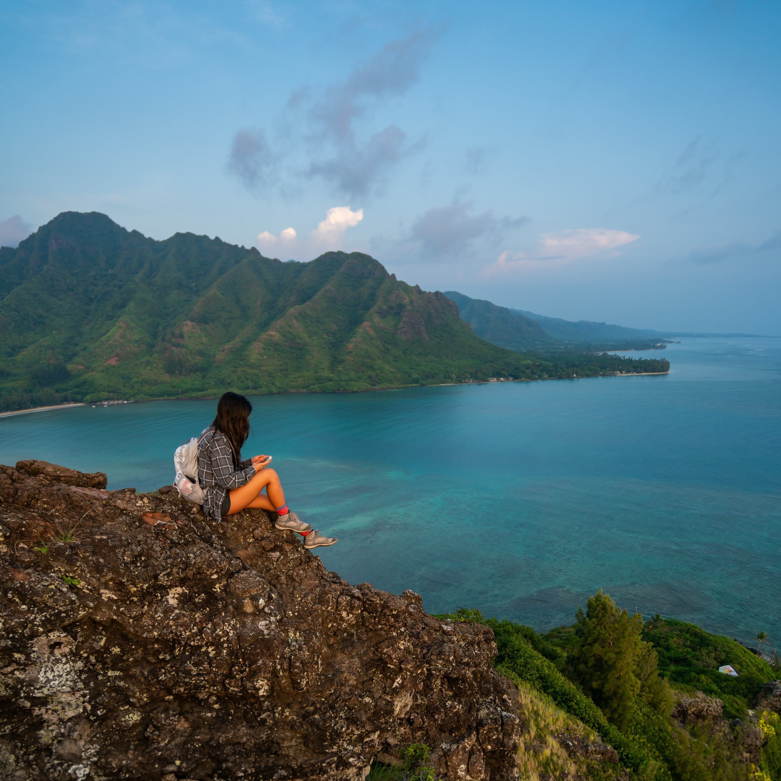
The summit of Kuliʻouʻou Ridge is this beautiful panoramic view that looks out over Waimānalo, on Oʻahu’s east side!
To the north (left), notable places like Mt. Olomana and even as far as Mokoliʻi can be seen on a clear day, and to the south/ east (right), there are more great views of Koko Crater, the Hanauma Bay Rim, and out toward Makapuʻu Point, with Molokai, Maui, and Lānaʻi visible on the clearest of days!
That said, it’s important to mention that on very cloudy/ rainy days, there may not be a view at the top, as the summit often gets socked in by low-hanging clouds brought in by the trade winds, which is most common in the mid- to late-afternoon hours.
This is why itʻs important to remember that just because it’s not raining in Honolulu/ Waikīkī doesn’t mean it’s not raining in the mountains nearby. Therefore, I recommend checking the weather forecasts in both Waimānalo and East Honolulu to get a better sense of what the conditions will be like when you plan to hike.
Koʻolau Summit Trail (KST)
This large exposed section at the summit of Kuliʻouʻou Ridge is actually a small portion of a much longer 56.0-mile (90.1 km) cross-island hike, known as the Koʻolau Summit Trail (KST).
That said, I highly recommend against hiking past Kuliʻouʻou Summit if you hadn’t prepared for anything longer, as any section of Koʻolau Summit is much harder, more involved, and more dangerous than anything experienced on the hike up Kuliʻouʻou Ridge.
Read My Separate Post: Koʻolau Summit Trail (KST)
Native Plants on Kuliʻouʻou Ridge
When compared to other hikes on Oʻahu, Kuliʻouʻou is a fairly low-elevation trail, meaning that even in the most native upper-elevation sections, the ridge is still inundated with invasive species like Octopus trees, Shoebutton, and Charcoal trees—a true reminder of the impacts that humans have.
However, there are still a number of native plants to find on the Kuliʻouʻou Ridge Trail, such as ʻŪlei, ʻIlieʻe, Lonomea, Olopua, ʻŌhiʻa lehua, ʻIeʻie, Lama, Alaheʻe, Palaʻā, and Wiliwili, to name just a few.
If you would like to learn more about these and many other native Hawaiian plants from across the islands, I encourage you to check out my separate post linked below.
Read My Separate Post: Native Hawaiian Plant Guide