Hiking the Wahiawā Hills Trail on Oʻahu, Hawaiʻi
Distance: 4.7 miles / 7.6 km
The Wahiawā Hills Trail in the central to northern Koʻolaus on Oʻahu is a remote loop trail on both sides of the Kaukonahua Stream that feels like a hidden gem compared to other, busier loop trails, like the ʻAiea Loop or even the Kaunala Loop Trail in Pūpūkea on Oʻahu’s North Shore.
However, compared to these others, it must be said that the Wahiawā Hills Trail truly lives up to its name, as the trail constantly gains and loses elevation over the course of the 2.0-mile (3.2 km) loop, which is why I typically think of the Wahiawā Hills as a great workout adventure above all else.
Nevertheless, there are beautiful views of the Kaukonahua Stream along the loop—not to mention that one of the best things to do on the Waihiawā Hills Trail is to hike to the upper stream crossing with tubes and ride down to the second crossing to exit the trail. Now, this is not something I recommend for first-time hikers, because it’s important to understand exactly where the trail crosses the stream the second time, but tubing from point to point is a fun alternative adventure that I’ve personally enjoyed a number of times!
Wahiawā Hills Trailhead Parking
Parking for the Wahiawā Hills Trail is located at the very end of California Avenue and the beginning of Puninoni Street, which is also the same parking area as the much more well-known Schofield-Waikāne Trail.
Google Maps Directions: Wahiawā Hills Trailhead
Hiking the Wahiawā Hills Trail
The Wahiawā Hills Trail begins at the very end of California Ave., which also serves as the trailhead for Schofield-Waikāne before it branches away about 0.1 miles (0.2 km) into the hike.
At this split, it doesn’t matter which way you go, as they both meet up shortly after.
Wahiawā Hills-Schofield-Waikāne Junction
After 0.1 miles (0.2 km), the Schofield-Waikāne and Wahiawā Hills Trail split.
That said, go left to continue on the Wahiawā Hills Trail.
Read My Separate Post: Schofield-Waikāne Trail
Following the Schofield-Waikāne junction, the Wahiawā Hills Trail will begin descending steeply down to the first stream crossing.
At the first stream crossing, you may or may not find this little hidden waterfall flowing.
In either case, the Wahiawā Hills Loop continues on the far side.
Wahiawā Hills Loop Trail
The first photo below may look like a two-way split to the left and right for either side of the loop, but in reality, this is a three-way intersection and both sides of the loop are on the right (second photo). This is all to say, don’t go left.
In any case, you can either take the upper trail to hike the south side of the Wahiawā Hills Loop first or take the lower trail to hike the north side first.
Personally, I recommend the upper trail first because I find this half slightly more challenging, which is why I like to hike it first and return later on the easier trail.
Wahiawā Hills (South Loop)
The upper trail will follow a ridgeline until it steeply descends down to the North Fork of the Kaukonahua Stream, about 1.0 mile (1.6 km) ahead.
Eventually, the Wahiawā Hills Loop Trail will turn toward the stream and descend steeply about 300 ft. (91 m) down to the first Kaukonahua Stream crossing.
North Fork of the Kaukonahua Stream
When I visited after a rainy day prior, there was no avoiding wet shoes without going off-trail by a lot.
In any case, the Wahiawā Hills Trail should be visible on the far side of the stream.
After the Kaukonahua Stream crossing, the Wahiawā Hills Trail climbs about 450 ft. (137 m) to reach the north side of the loop.
Once of the first ridge, go left.
Wahiawā Hills (North Loop)
At the top of the climb out of the Kaukonahua Stream, stay to the left.
The trail may not be very obvious at first, but it soon becomes more defined.
At this split, go right to take the easier of the two trails.
Then, go left again, as the most important thing to remember is to keep the stream adjacent to you left-hand side.
Wahiawā Hills-Whitmore Junction
At the next split, go left.
The first photo below is the correct trail, and the second photo is the wrong trail that leads down to Whitmore Village.
After the Whitmore Village junction, keep the hillside on your left to continue on the correct trail.
The Wahiawā Hills Trail will soon start descending once again to cross back over the Kaukonahua Stream, but this time, the descent won’t be nearly as steep as the upper side of the loop.
North Fork of the Kaukonahua Stream
This climb back out on the lower half of the loop is much more mild than the prior.
This is not the initial loop junction from previously.
That said, go right to hike back to the beginning of the Wahiawā Hills Loop.
Wahiawā Hills Loop Junction
This is the initial three-way split from the beginning.
Here, go left to hike back toward the waterfall and the first stream crossing.
Don’t forget about the last hill to hike back to the Schofield-Waikāne junction.
Notes
The Wahiawā Hills Trail is a community-managed trail, meaning that you may come across numerous downed trees or landslides, like the one here.
That said, there’s typically an obvious route around any obstacles on the Wahiawā Hills Trail.
Native Plants on the Wahiawā Hills Trail
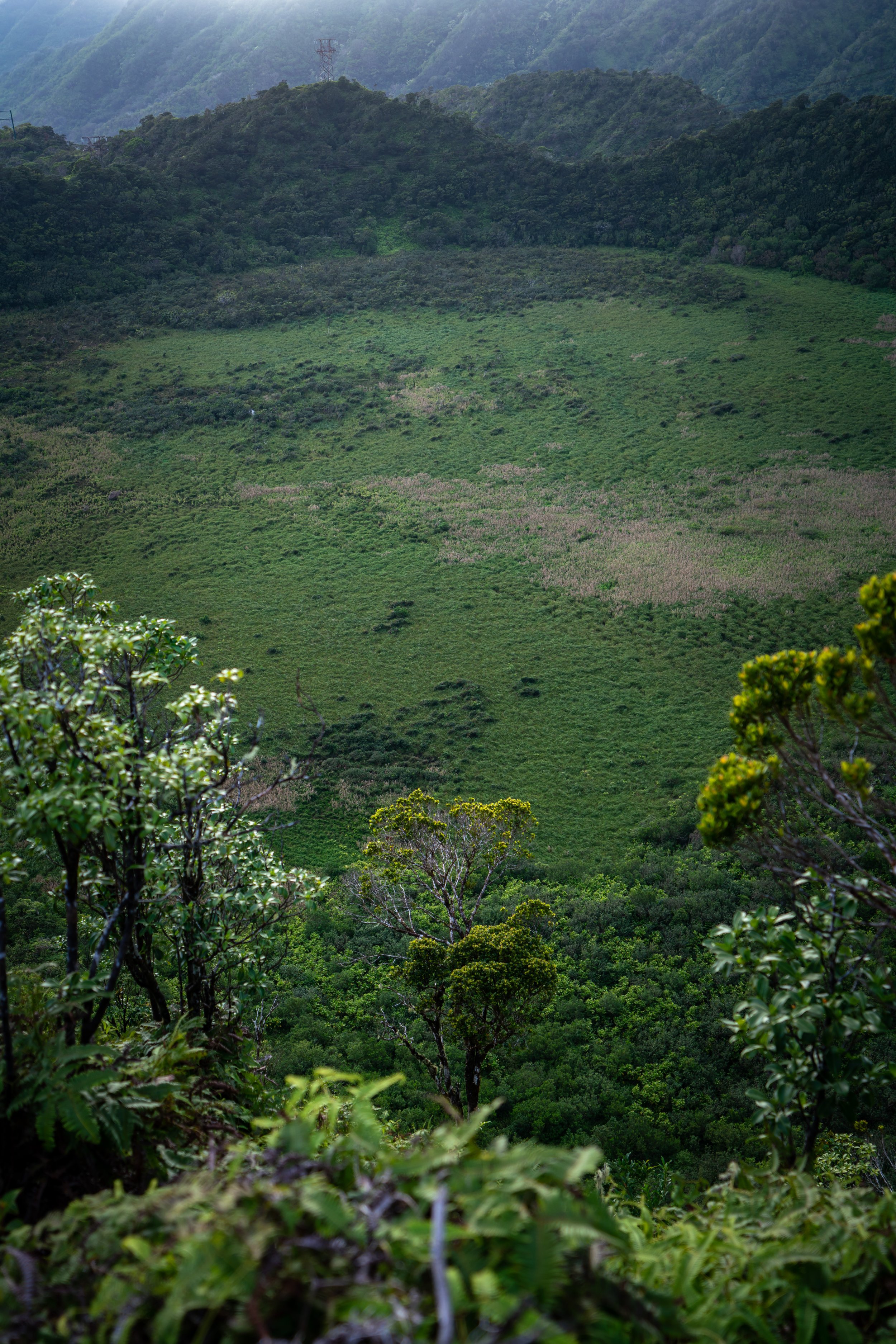
Generally speaking, the Wahiawā Hills Trail is a low-elevation trail, meaning that it is mostly dominated by non-native/ invasive species.
However, there are still a variety of native plants that you can expect to see such as ʻŌhiʻa lehua, Koa, Uluhe, ʻUkiʻuki, and Kōpiko from what I noticed.
If you would like to learn more about these and many other native Hawaiian plants from across the islands, I encourage you to check out my separate post linked below.
Read My Separate Post: Native Hawaiian Plant Guide