Hiking the Kolekole Trail to Puʻu Hapapa on Oʻahu, Hawaiʻi
Distance: 3.1 miles / 5.0 km
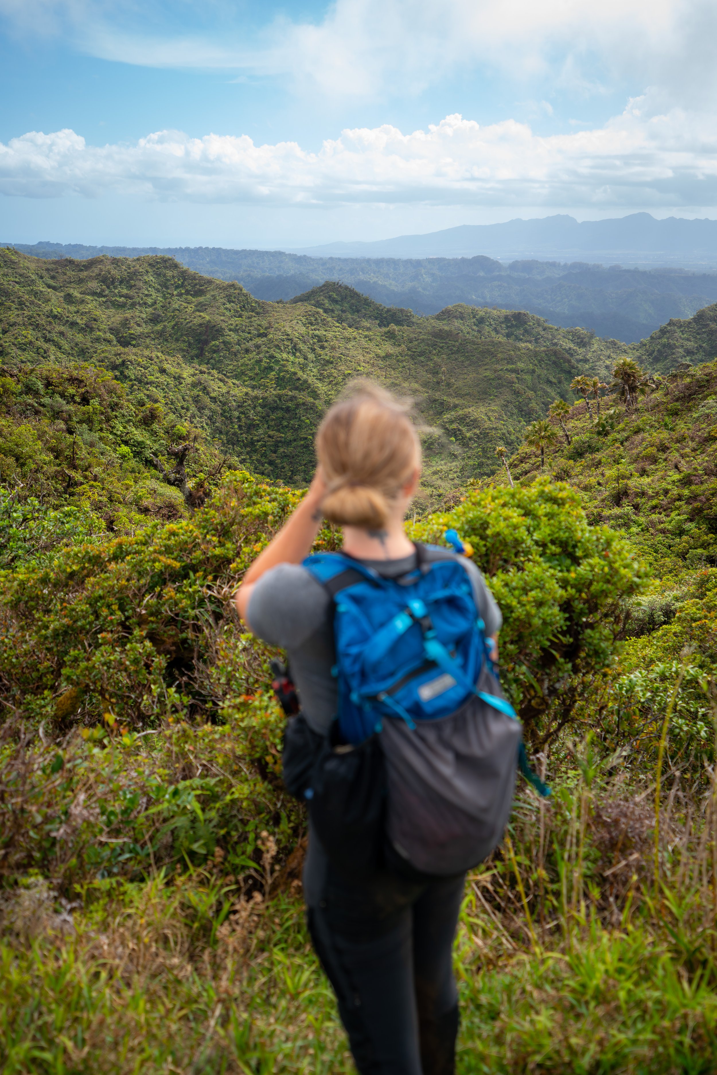
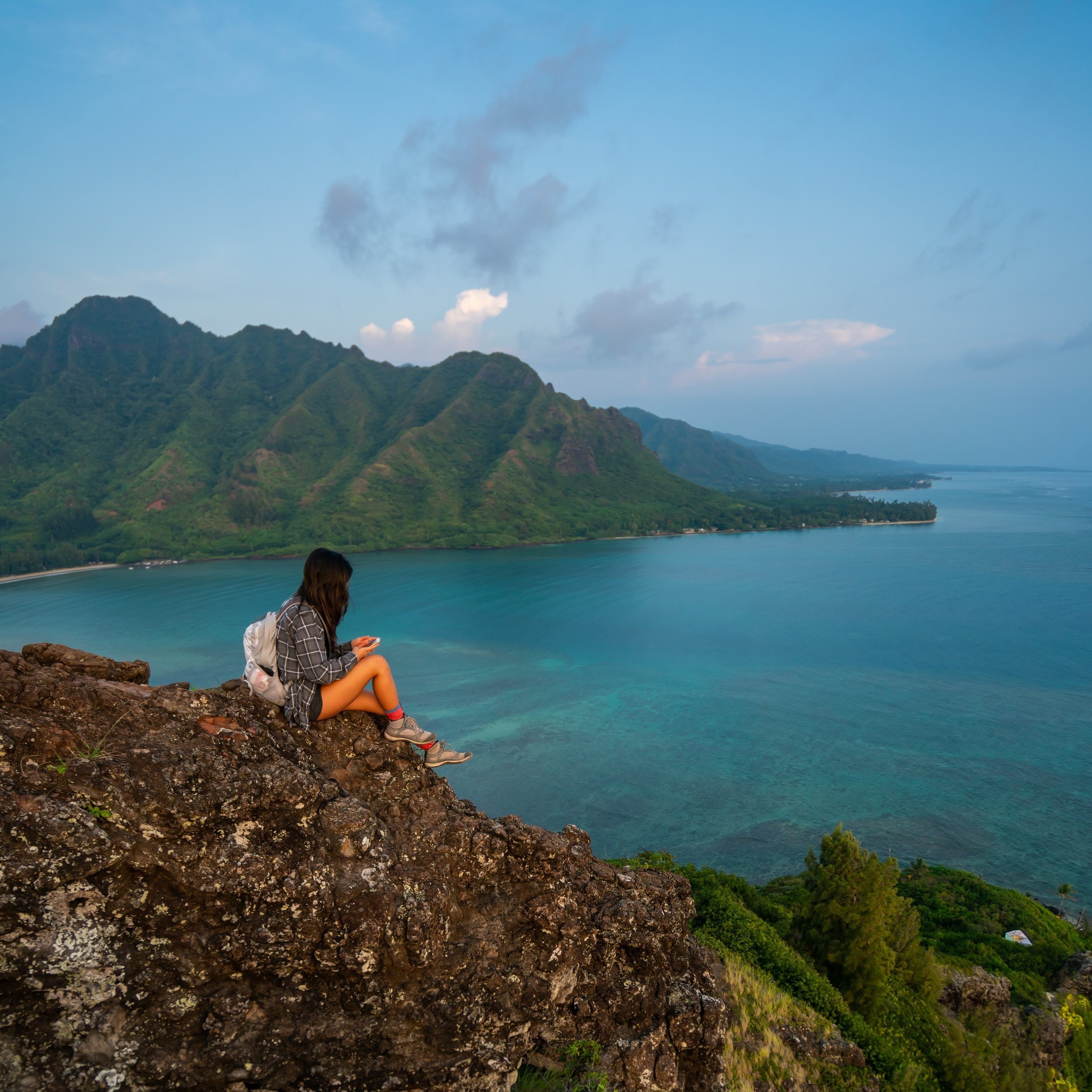
The Kolekole Trail to Puʻu Hapapa in the Waiʻanae Mountains on Oʻahu is a fun, steep, and—most of all—beautiful day hike up one of the island’s most dramatic and exposed ridges!
It’s for these reasons that the Kolekole Trail to Puʻu Hapapa is one of my favorite hikes on Oʻahu—but be aware that the sheer exposure, combined with climbing Hawaiʻi’s loose volcanic basalt, is certainly not an adventure for all people, of all abilities.
For comparison, the scramble up the Waiʻanae Summit Trail (WST) side of the Puʻu Hapapa Loop is closest to a moderately challenging Class 3 climb—comparable to the Keaʻau Middle Ridge Trail on Oʻahu’s West Side. This is why many opt for the easier east side of the loop, instead of the WST.
All this to say, I have a personal bias for the Kolekole Trail because I enjoy the climbing, the exposure, and the crazy beautiful views—all located within such a short distance of the trailhead—not to mention that the Kolekole Trail is one of the more unique places to hike on Oʻahu, due to the access barriers that prevent most people from even attempting the hike.
How to Access the Kolekole Trail?
Since the Kolekole Trail is located on Schofield Barracks, an active military installation, all those entering are required to either be a valid DOD card holder, accompanied by someone who is a valid DOD card holder, or have a visitor pass.
That said, the visitor pass is the most tedious method to access the hike, but it’s not as bad as it may initially sound. To do so, simply drive to the Lyman Gate off Kunia Road, approach the gate in the right-hand lane (the visitor lane), and tell the gate guards that you’re there to hike the Kolekole Trail.
From there, you’ll likely be asked to exit the car and present a REAL ID, which will grant you and all non-DOD cardholders access to the base.
U.S. Army Garrison Hawaiʻi: Visitor Information
When is the Kolekole Trail Open?
The Kolekole Trail is open on select weekends only.
To learn more about the trail’s furture schedule, hikers are encouraged to reference the U.S. Army website linked below.
U.S. Army Garrison Hawaiʻi: Kolekole Trail Status
Kolokole Trailhead Parking
Once you’re on Schofield Barracks, the Kolekole Trail is located at the summit of Kolekole Pass on the very back of the base.
Parking for the trail is on the side of the road, or in the little parking lot surrounding the trailhead.
After a number of consecutive closed weekends, the parking area/ trail can be exceptionally busy in the morning. That said, I love hiking Kolekole in the afternoon because of the beautiful evening light.
Google Maps Directions: Kolekole Trailhead
Hiking the Kolekole Trail to Puʻu Hapapa
The Army only advertises the first 0.3 miles (0.5 km) of the trail to the bench overlooking Lualualei Valley to the west.
However, real hiking begins as you make your way up the ridge to Puʻu Hapapa.
Initially, the trail is very well-marked to the bench.
Go left at the split in the photo below.
Kolekole Bench
The split in the photo above is the end of the maintained Kolekole Trail.
From here, the Kolekole bench is off to the right, and the start of the Puʻu Hapapa Trail is on the left.
Puʻu Hapapa Trail (Honouliuli Contour Trail)
Know that the short roundtrip distance is a bad indicator for difficulty on Puʻu Hapapa. Hiking to the summit is absolutely beyond some peoples’ ability so use your best judgement.
I watched a couple from the bench spend about 30 minutes scooting only 200 ft. (61 m) down the ridge. When I passed them higher on the mountain, I could hear one of them having difficulty with the much easier flatter sections, but they were not prepared for the high-exposure on the way down.
It’s always easier going up than coming back down.
The first part of the trail follows the Honoluiuli Contour for the first 0.25 miles (0.4 km) to the first ridge, which is where you’ll have to make a decision about which route to take.
Puʻu Hapapa Loop Trail
This is the first of two ridges that lead up to the summit of Puʻu Hapapa, and the first (west) ridge is also the more difficult of the two.
Personally, I love the high-exposure, the climbing, and the views, but if you have any doubts with your comfortability to heights and exposure, then keep going straight. This first ridge has many areas where you cannot fall! Stay on the Honouliuli Contour Trail until you come to the second ridge leading up to the summit, which is also the ridge I took back down later in this post.
Additionally, for anyone hiking the Waiʻanae Summit Trail (WST), this first ridge is the WST, not the second.
Yes, it’s very steep!
This is the gap in the mountain that you can see from the bench below, and it’s also where the climbing and the exposure start to get real. Many people turn back here.
Like I said earlier, you cannot fall!
These first stretches past the gap are where some of the highest exposure is.
Eventually, the ridge starts level out more than the beginning sections.
Upper Puʻu Hapapa Loop Junction
This is where both sides of the Puʻu Hapapa Loop come together.
Summit Ridge
After the both ridges comes together, the rest of the hike to the summit is much more mild.
Please be respectful and do not touch any of the equipment used for conservation work on Puʻu Hapapa.
Puʻu Hapapa
This helicopter landing pad is the end of the Kolekole Trail to Puʻu Hapapa.
Waiʻanae Summit Trail (WST)
Do not hike further on the Waiʻanae Summit if you weren’t planning on it.
The Kolekole Trail to Puʻu Hapapa is the easiest section of this stretch to Pālehua, and there are many more difficult sections ahead, including both the Gorilla Heads and Pōhākea Pass.
There are also no great trails off the WST between Puʻu Hapapa and Pālehua because this is the longest stretch on the WST without another trafficked ridge up and down.
Read My Separate Post: Waiʻanae Summit Trail (WST)
Upper Puʻu Hapapa Loop Junction
If you took the first (west) ridge up like I did, look out for the split on the way back down to take the much more gradual east ridge on the Puʻu Hapapa Loop.
It’s always much more difficult going down the west ridge than hiking up.
Honouliuli Contour Trail
The bottom of the ridge may not look as obvious as the west ridge, but the Contour Trail will become more defined shortly after making the left turn back toward Kolekole.
This stream may or may not be flowing.
This is where the Honouliuli Contour loops back to the first (west) ridge from earlier.
At this split, go left.
I’ve had a friend make this wrong turn when we hiked the entire WST, and he got lost behind a firing range for some time.
Native Plants on the Kolekole Trail
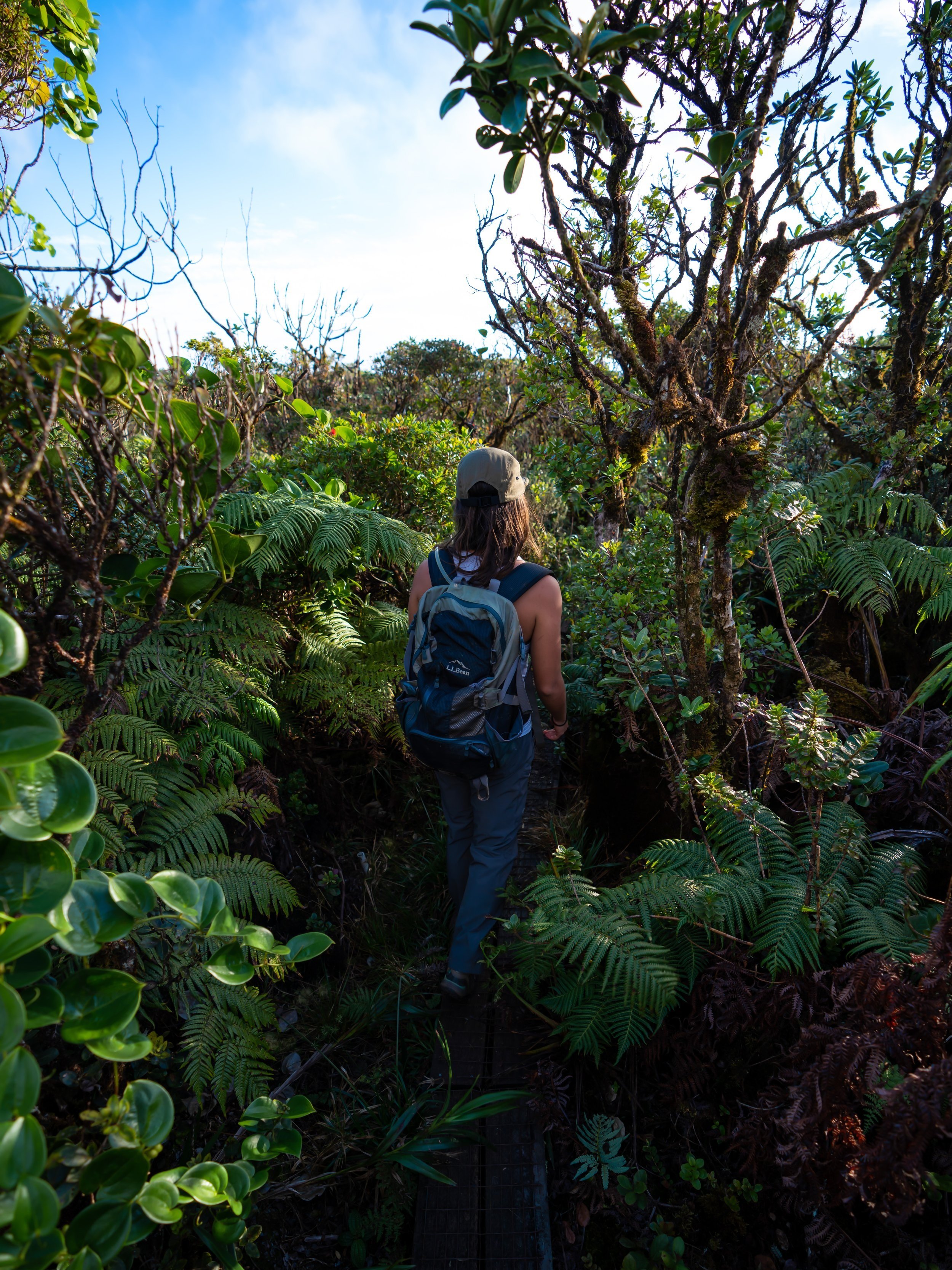
The Kolekole Trail to Puʻu Hapapa is one of the better hikes on Oʻahu to see native Hawaiian plants.
I saw Kōlea, Hōʻawa, Kōpiko, ʻŌhiʻa lehua, Alaheʻe, Kokolau, ʻIlima, and ʻAkoko to truly only name a few. There were so many more that I was surprised to see on just this short hike.
If you would like to learn more about these and many other native Hawaiian plants from across the islands, I encourage you to check out my separate post linked below.
Read My Separate Post: Native Hawaiian Plant Guide


