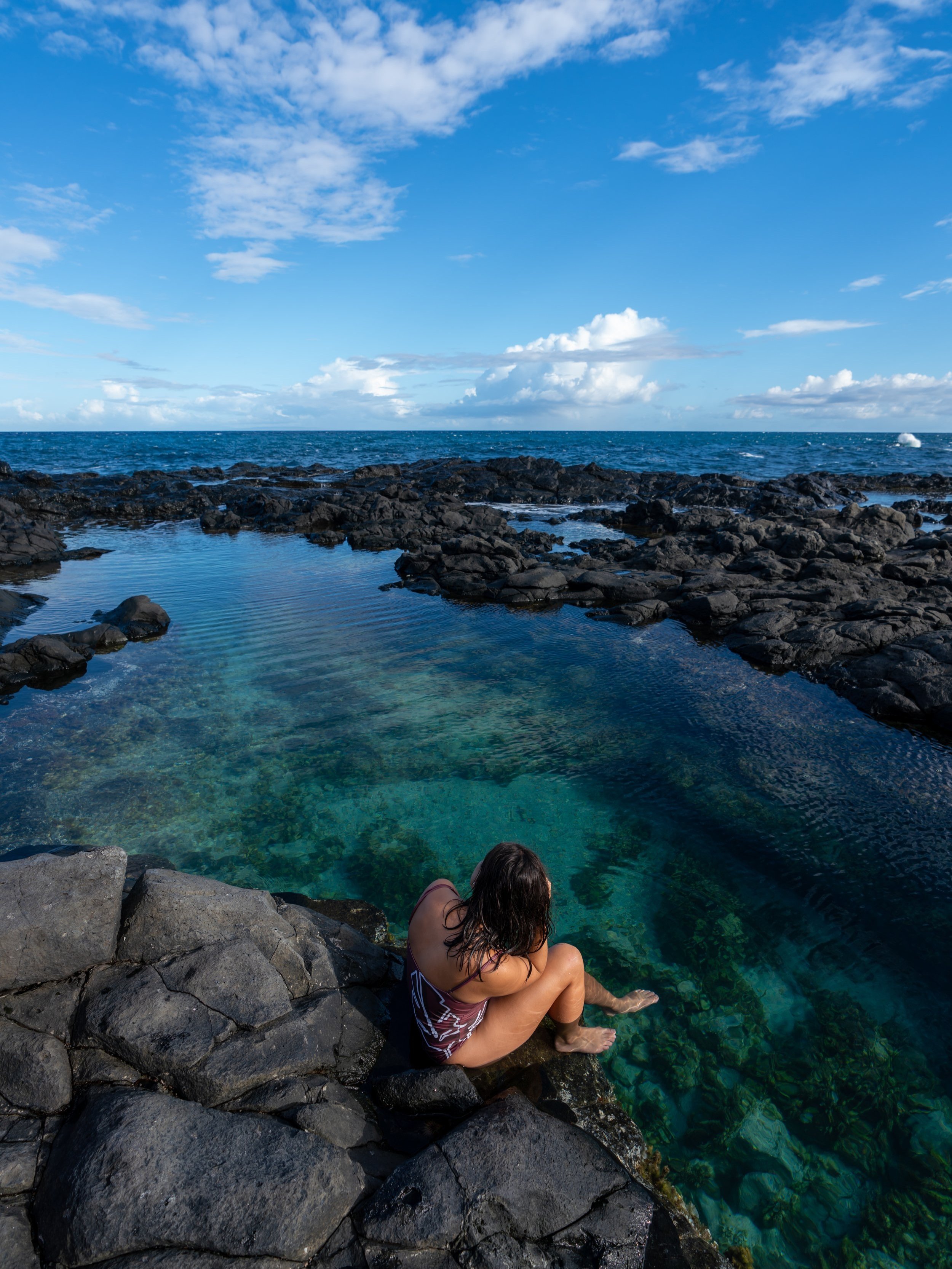
Hiking the Schofield-Waikāne Trail on Oʻahu, Hawaiʻi
Distance (Roundtrip): 14.0 miles / 22.5 km
The Schofield-Waikāne Trail, in the central to northern Koʻolau Mountains, is truly an Oʻahu hidden gem, as few hikers ever consider exploring this remote stretch of the island—due almost entirely to the long 14.0-mile (22.5 km) roundtrip distance!
I believe this to be the case because hikers are under the impression that gaining access to the trail is a headache and that the long, remote trail must be difficult. However, Schofield-Waikāne is a much easier adventure than comparable Oʻahu ridge hikes, such as Mānana Ridge or the long Waimano Trail, and accessing the trail is much more straightforward than other information online would lead you to believe.
How to Access the Schofield-Waikāne Trail?
If you ever ended up on the Army’s hiking website, it would tell you that you need to request permission in order to access the Schofield-Waikāne Trail. This is wrong!
According to an in-person conversation I had with the Oʻahu Branch Manager for the Division of Forestry and Wildlife, you do not need to request permission, and you do not need to hike on weekends only.
Hike the Schofield-Waikāne Trail whenever you feel like it, but know that just because the Department of Land and Natural Resources (DLNR) feels this way, as the ones who manage the trail, doesn’t mean the Army is necessarily on the same page. More on this later.
The branch manager was under the impression that if you wanted to be able to drive through the Army base in order to cut out the first few miles of the hike, then you would need a permit. However, as long as you’re starting from the trailhead at the top of California Ave., which is what I recommend, you are free to hike the Schofield-Waikāne Trail as you please!
Schofield-Waikāne Trailhead Parking
Parking for the Schofield-Waikāne Trail is located either at the top of California Ave. and the adjacent Puninoni Street. Alternatively, if you went through the hassle of mailing in a written request to the Army, you could park at the true Schofield-Waikāne Trailhead, cutting out about 2.4 miles (3.9 km) off the hike each way.
As I’m sure you can tell from the previous section, I recommend the first option, which is also the same trailhead as the Wahiawā Hills Trail.
Google Maps Directions: Schofield-Waikāne Trailhead
Hiking the Schofield-Waikāne Trail
As previously mentioned, the Schofield-Waikāne Trail is most comparable to Mānana Ridge in central Oʻahu.
However, in my opinion, Schofield-Waikāne is the easier of the two, regardless of the fact that it’s significantly longer.
I say this for a few reasons. First, about a third of the total distance up the ridge is on the access road just to reach the real trailhead, meaning Schofield-Waikāne is closer to a 9.0-mile (14.5 km) hike than a 14.0-mile (22.5 km) hike. The second is that the Mānana Ridge Trail follows the actual ridgeline, while Schofield-Waikāne almost always contours around any steep elevation gain, making the hike much more gradual in comparison. This why people call Mānana a rollercoaster, while Schofield-Waikāne is not.
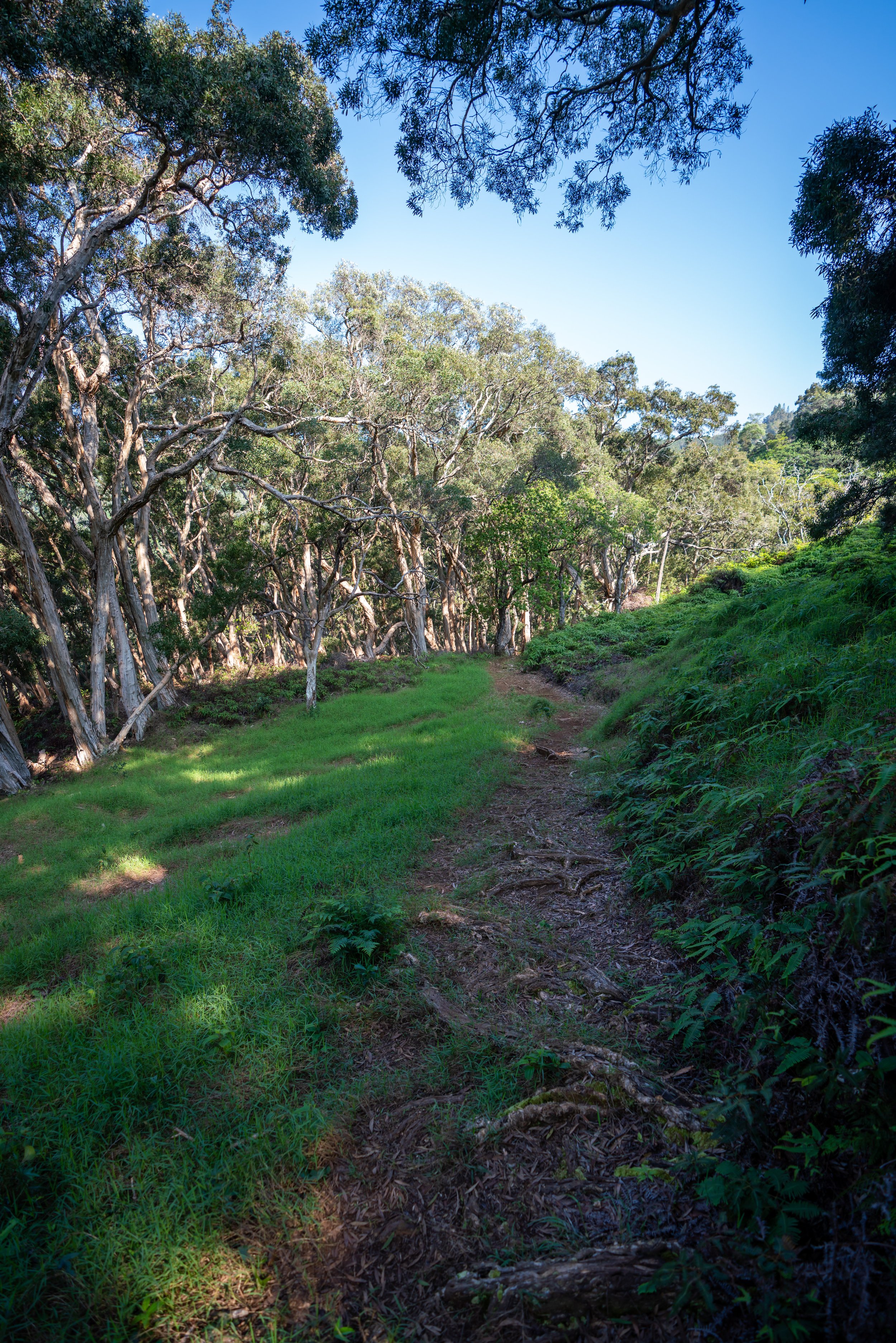
In any case, the Schofield-Waikāne Trail begins at the very end of California Ave., which is also the same trailhead as the Wahiawā Hills.
At the first split, it doesn’t matter which way you go. They both meet up shortly after.
Wahiawā Hills-Schofield-Waikāne Junction
Then, after 0.1 miles (0.2 km), the Schofield-Waikāne and Wahiawā Hills Trail split.
Go right to stay on the Schofield-Waikāne Trail.
After the Wahiawā Hills Junction, the Schofield-Waikāne Trail will come to a number of splits with the Schofield-Waikāne Access Road.
To the best of my knowledge, this road is the border between the ʻEwa Forest Reserve and the Army base, which is where I believe the point of conflict is, with the Army saying that you need permission and the DLNR saying that you don’t.
In either case, I always choose to go left at the first few splits until I’m well past all of the Army buildings, so that I’m never confronted over this technicality.
I don’t think it would be very fun to have some know-it-all Army personnel telling you they know better, and I’m sure you won’t be able to tell them that you learned this information about the trail’s access from my blog.
Schofield-Waikāne Access Road
At some point past the Army buildings, turn right off the trail and onto the road.
If you come to a trail heading downhill while paralleling the access road, don’t follow it. That’s a good time to leave the trail and join up with the access road.
Schofield-Waikāne Junction
After the buildings, the access road will pass by a few training areas before breaking off toward the true Schofield-Waikāne Trailhead, past this gate.
From the gate, the access road is a bit of a long walk until you reach the upper parking area, about 2.4 miles (3.9 km) from the trailhead on California Ave.
Schofield-Waikāne Trailhead Parking
After 2.4 miles (3.9 km), the Schofield-Waikāne Access Road finally reaches the true Schofield-Waikāne Trailhead, which is why some trail reports will only say the roundtrip distance is only 8.0 miles (12.9 km).
However, in my own recordings, I tracked 9.2 miles (14.8 km) roundtrip.
Schofield-Waikāne Trailhead
I’m not sure where the sign went, but this path on the mauka side of the upper parking area is the Schofield-Waikāne Trailhead.
From here, the one-way distance to the summit is 4.6 miles (7.4 km), which is considerably different from what the DLNR reports at 4.0 miles (6.4 km) each way.
Initially, the Schofield-Waikāne Trail drops down before beginning the gradual ascent up the roughly 700 ft. (213 m) of elevation from the upper trailhead to the summit.
I love all the beautiful ʻAhakea trees that you can see on the trail!
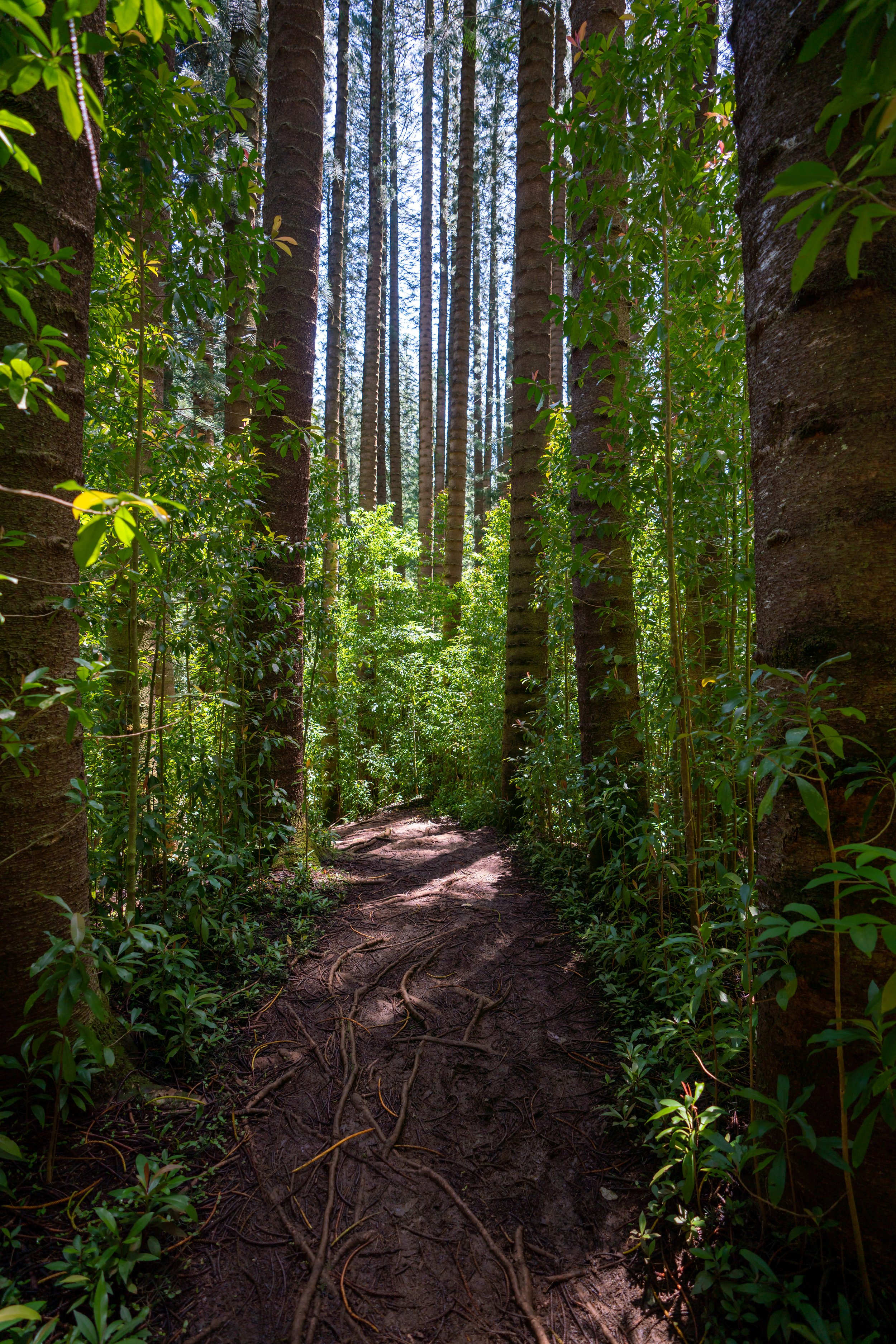
If you don’t have an eye from Hawaiʻi’s native forests, I’d tell you that the Schofield-Waikāne Trail is pretty special compared to how overrun other Hawaiʻi hikes can be with invasive species.
As you can see from these photos, whenever the Schofield-Waikāne Trail gains elevation, it almost never follows the ridgeline directly.
That's why the elevation gain feels so mild over the course of this longer trail.
This sign for the ʻEwa Forest Reserve is a nice mental checkpoint that you’re about halfway up Schofield-Waikāne from the upper trailhead.
North Kaukonahua Management Unit
For about the remaining upper third of the hike, the Schofield-Waikāne Trail follows along the southern boundary for North Kaukonahua MU, which helps make the hike easier, as this stretch of the trail is typically better maintained.
That said, when I say maintained, I don’t mean no overgrowth, as these upper portions of the trail are really why you’re going to want to wear good hiking pants.
The pants below are my recommendations that hold up the best with the overgrowth here in Hawaiʻi, but with any hiking pants that need to be durable, make sure that they are at or near 100% nylon. This is really the most important factor!
Shortly after the fence begins the trail leaves it behind to contour around the next hill, which does get a little more overgrown than the fence line itself.
However, whenever the Schofield-Waikāne Trail leaves the fence, it always joins back up again until the section just below the summit.
As the Schofield-Waikāne Trail moves higher, the summit may look further than it actually is, like in the photo below.
However, if you’re trying to estimate how much further the trail goes, I recommend looking at the mountains to the north because it’s a much more accurate estimation than looking to the south.
This is about the steepest the Schofield-Waikāne Trail gets, and it never lasts very long.
As the trail gets closer to the KST, there are a few hills that almost directly block the view of the true Schofield-Waikāne Summit.
However, like I previously said, the mountains on the left (north) give you a better estimation of the remaining distance as opposed to how far away the summit ridge to the south looks in the photo below.
These ʻOhe Mauka trees are another one of my favorite Oʻahu endemic plants, and I love seeing them all over the remote Koʻolaus, as they are truly few and far between across the southern ridges.
Just prior to the summit, the Schofield-Waikāne Trail leaves the fence behind, which won’t continue again unless you choose to hike north toward Poamoho on the Koʻolau Summit.
If you notice a split in the trail just prior to the summit, go right to stay on the trail.
The path on the left is nothing worth following.
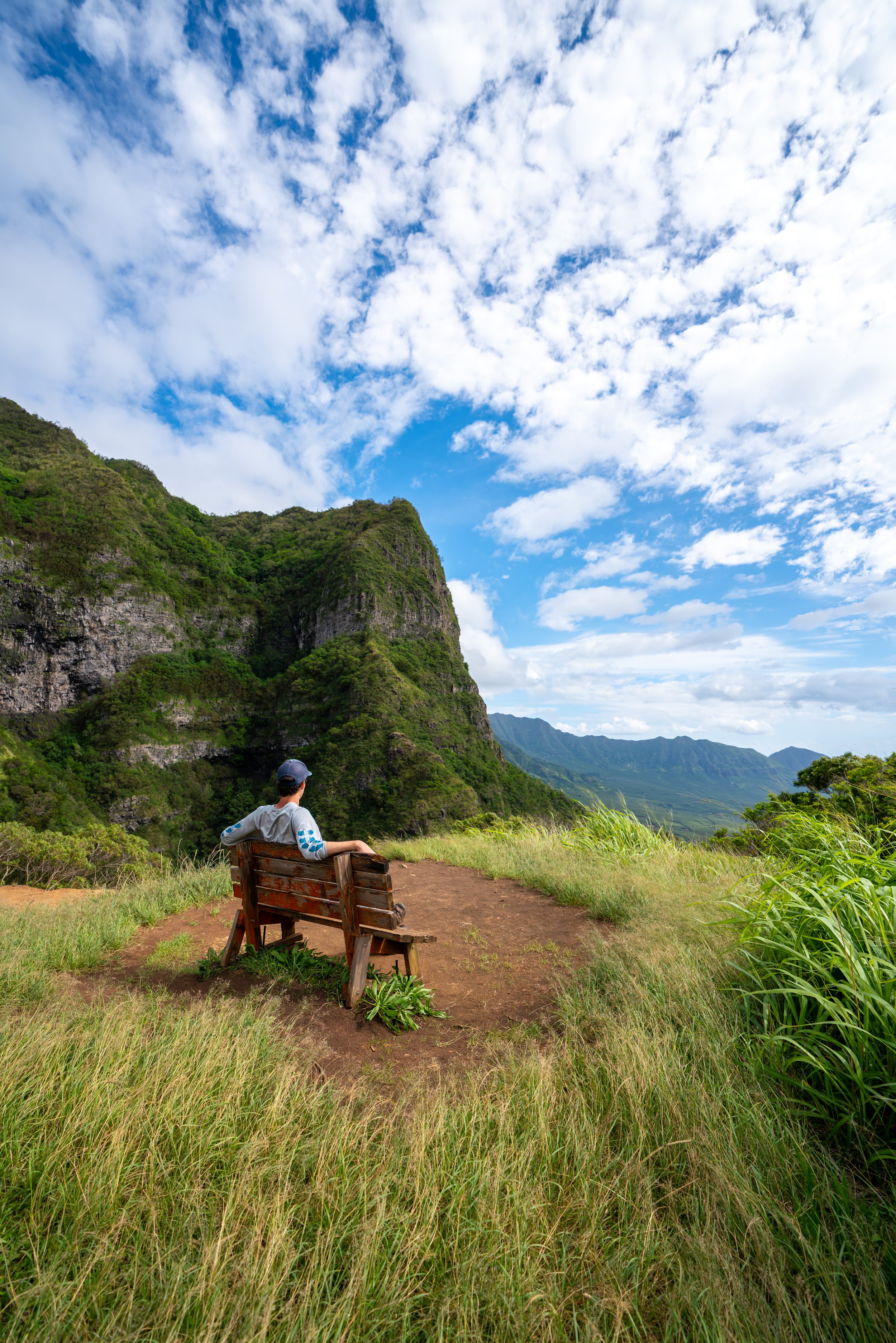
Schofield-Waikāne Summit
After about 7.0 miles (11.3 km) from the trailhead on California Ave., the Schofield-Waikāne Trail ends at this panoramic view of Kahana Valley to the north, Puʻu ʻŌhulehule in the center, and Waiāhole Valley to the south.
This photo was taken at sunrise from the summit.
In any case, I recommend looking for the nicest day possible to hike Schofield-Waikāne because with all the effort put in to reach this remote summit, it would be kind of a letdown if the view was socked in.
Personally, I’ve had great luck with clear views all three times I’ve visited thus far, and I credit that mostly to choosing the nicest of nice days to set out on Schofield-Waikāne.
If you plan to continue in either direction along the Koʻolau Summit Trail (KST), note that the best trails down in each direction are Poamoho to the north and Mānana Ridge, a long way to the south.
Read My Separate Post: Koʻolau Summit Trail (KST)
Native Plants - Schofield-Waikāne Trail
The Schofield-Waikāne Trail is one of the best trails on Oʻahu to see a variety of native Hawaiian plants, which include ʻŌhiʻa lehua, ʻŌhiʻa lehua mamo, ʻAhakea lau nui, Akaʻawa, Kalia, Naupaka, Alani, and Kōpiko, to truly name only a few.
If you would like to learn more about these and many other native Hawaiian plants from across the islands, I encourage you to check out my separate post linked below.
Read My Separate Post: Native Hawaiian Plant Guide