Hiking the Nākoa Trail on Oʻahu, Hawaiʻi
Distance: 4.8 miles / 7.7 km
The Nākoa Trail, also called the Nākoa Loop Trail, on the east side of Oʻahu is a long, remote loop through the heart of Kahana Valley, but compared to hikes of similar lengths, like ʻAiea Loop Trail or Hauʻula Loop Trail, the Nākoa Trail is a bit more challenging.
This is because the Nākoa Trail doesn’t receive nearly the same amount of traffic as other, more popular Oʻahu loop trails, and it’s one that I would more similarly compare to the Wahiawā Hills Trail—granted that it’s almost always wetter and muddier than all three of these adventures listed, because of its location on the east side of the island.
Be aware that the distance above includes the 0.6-mile (1.0 km) walk each way from the parking area to the trailhead, as well as an additional 0.5 miles (0.8 km) to get to and from the Kahana Pools at the back of the loop.
Nākoa Trailhead Parking
Parking for the Nākoa Trail is located on the side of Kahana Valley Road just before the residential community in the valley.
However, if you have a valid hunting permit and parking pass, you can drive as far as the Nākoa Trailhead.
Google Maps Directions: Nākoa Trailhead
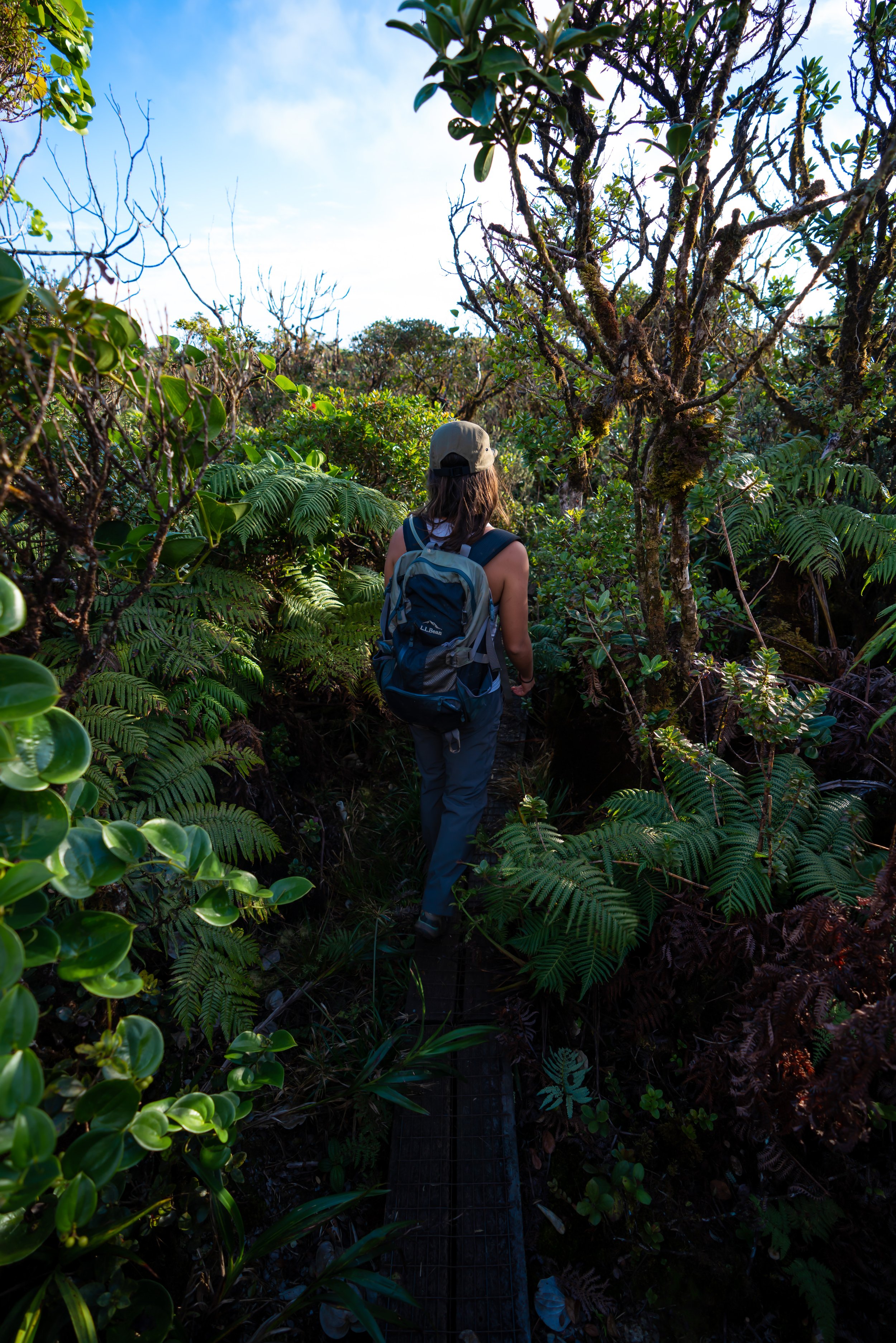
Hiking the Nākoa Trail
From the parking area, the Nākoa Trail doesn’t begin for another 0.6 miles (1.0 km) up Kahana Valley Road.
Please be quiet and respectful when walking through the Kahana community.
Continue up the road past the gate.
This is the parking area for hunters only.
Nākoa Loop Trailhead
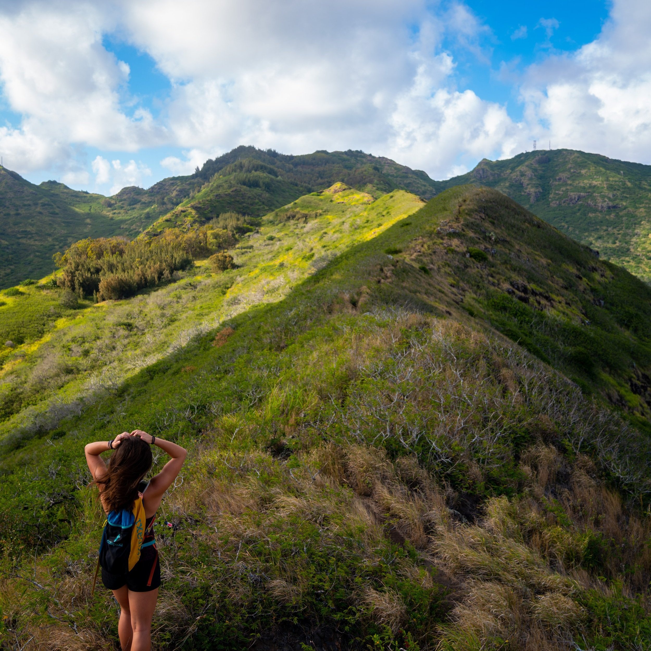
At the Nākoa Trailhead, you can either go right on the contour trail or left toward the Puʻu ʻŌhulehule Trail.
If you’re going to hike the loop, I recommend going right first because the contour trail is more challenging than the southern half of the loop, which is exactly the direction the photos below show.
Hawaiʻi Hiking Pants
For any hike in Kahana Valley, I recommend the hiking pants below for the mosquitoes alone.
That said, they can not only can they be used on the Nākoa Loop for the mosquitoes, but there are tons of other ridge hikes in this blog where you would find them useful.
The pants below are my recommendations that hold up the best with the overgrowth here in Hawaiʻi, but with any hiking pants that need to be durable, make sure that they are at or near 100% nylon. This is really the most important factor!
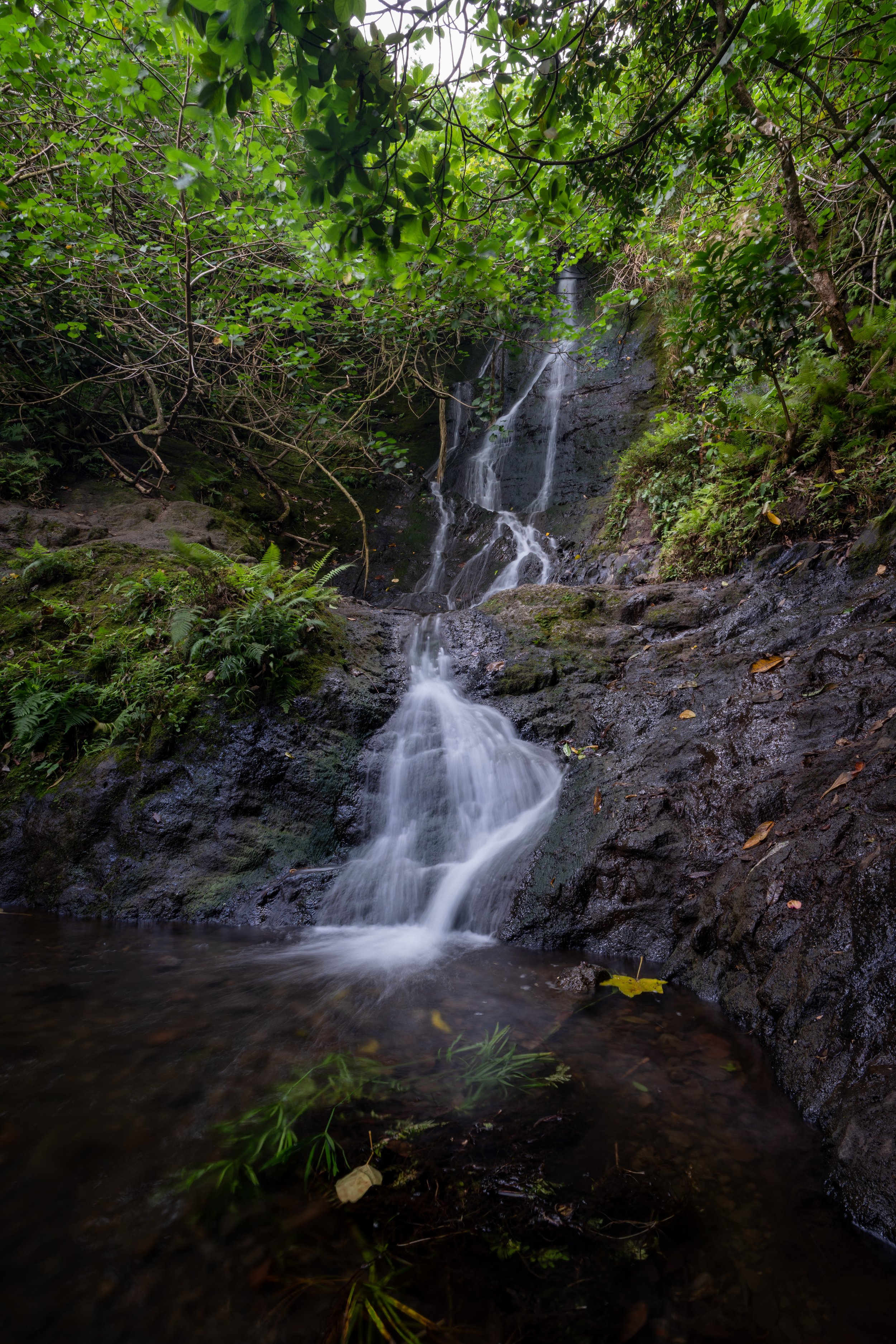
In certain sections, the Nākoa Trail can be very muddy because Kahana Valley receives so much rain.
Other than this, the Nākoa Trail should be fairly self-explanatory, with the exception of the trail down to the Kahana Pools.
Four-way Intersection
At the back of the contour trail, the Nākoa Loop comes to a four way intersection with the Water Tank Road, the Kahana Pools Trail, and the southern half of the Nākoa Trail that leads back to the start.
I took the 0.25-mile (0.4 km) trail on the far left that leads down to the Kahana Pools, but what’s nice about making it this far is that the four-way intersection is a sign that the hardest hiking is behind you.
Kahana Pools Trail
The Kahana Pools Trail is only 0.5 miles (0.8 km) roundtrip to get back to the four-way intersection.
At the split in the photo below, go left.
This is the trail that leads down to the Kahana Pools.
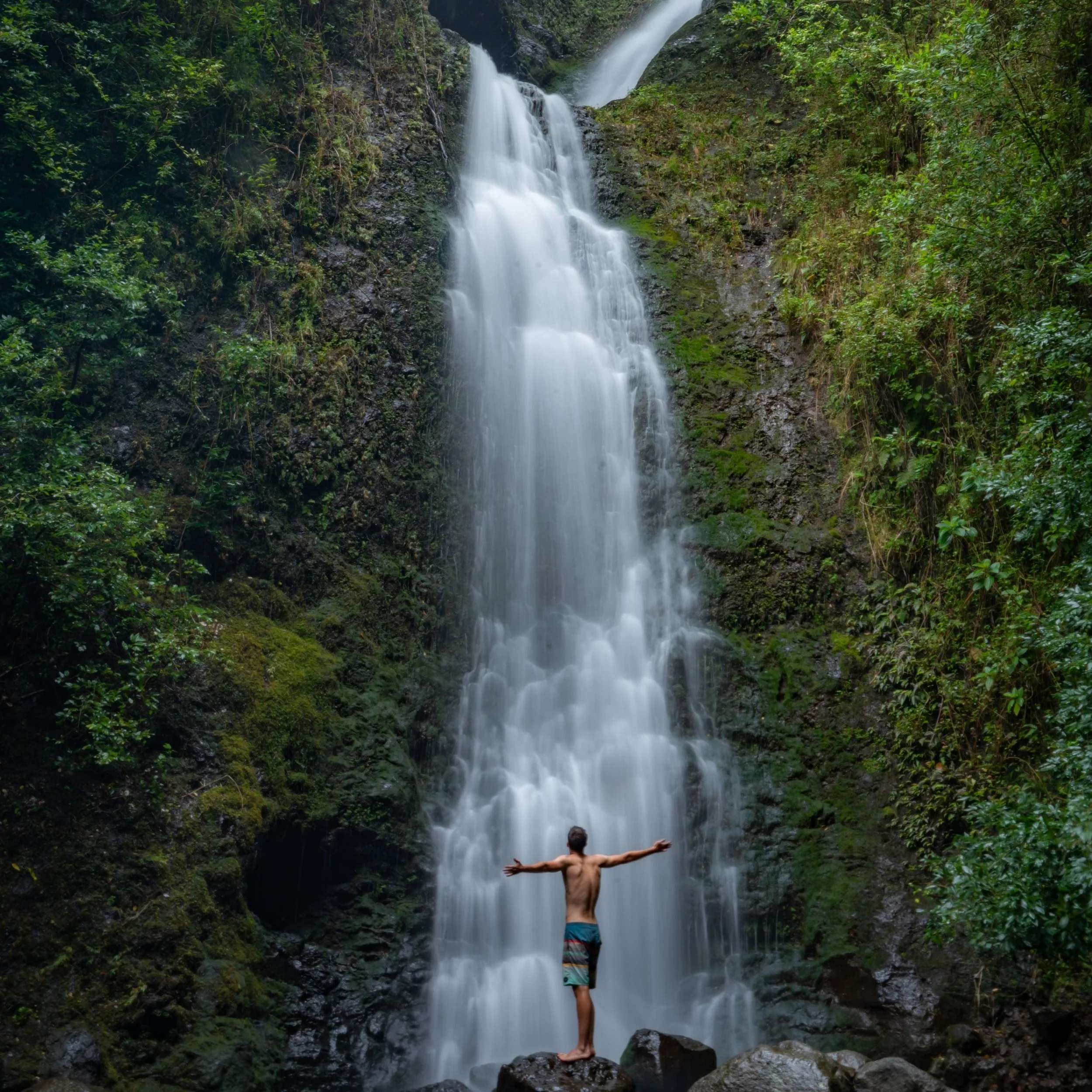
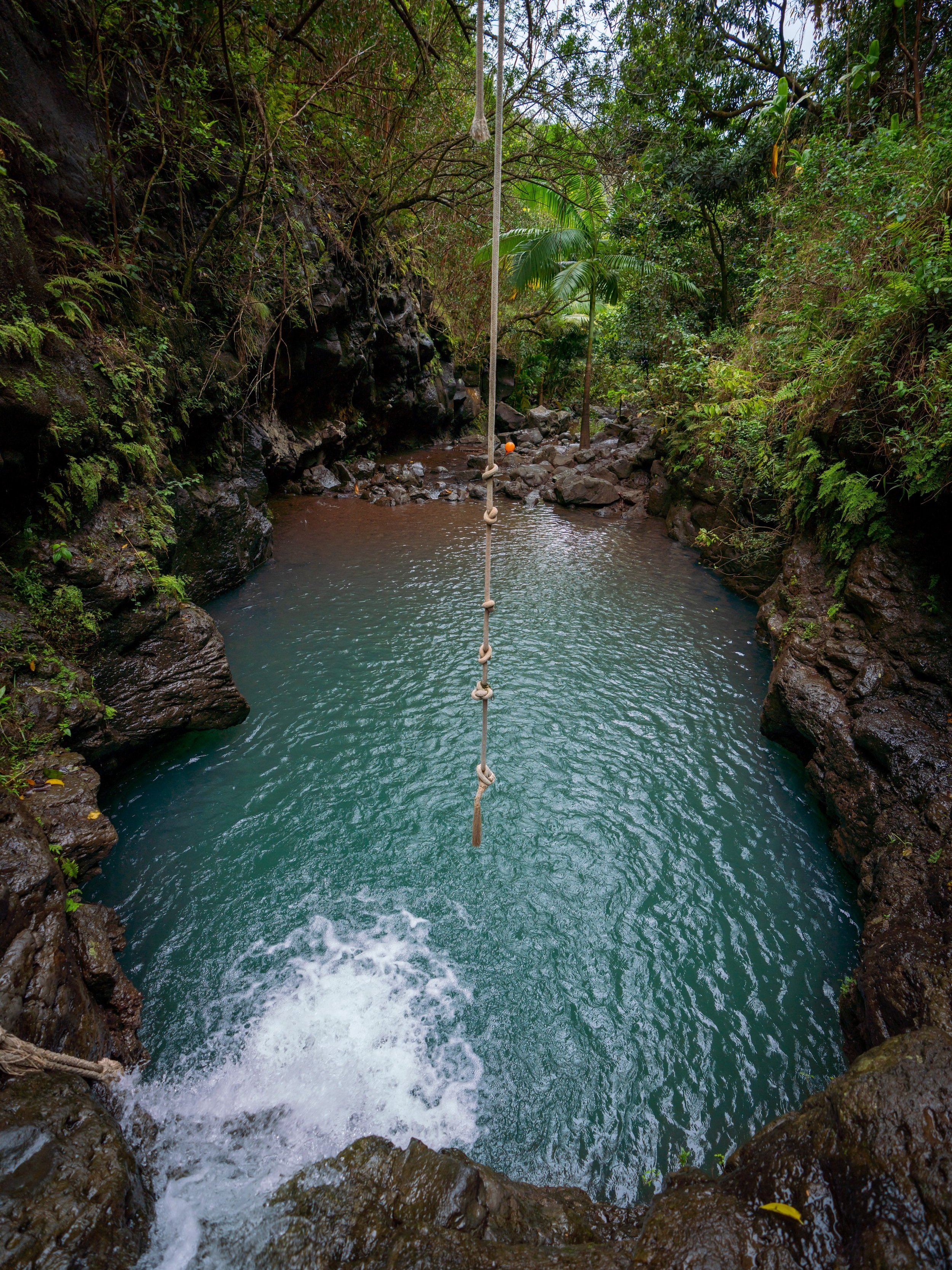
Kahana Pools
The Kahana Pools is a beautiful calm swimming spot in the stream, but when there’s no breeze, the mosquitoes can make it a little hard to enjoy.
However, I still think it’s worth checking out if you have the time.
Four-way Intersection
Back at the four-way intersection, I continued on the easier southern half of the Nākoa Trail.
The return loop will go much quicker than the contour trail up to this point.
First Kahana Stream Crossing
At both of the Kahana Stream crossings on the southern half, it’s nearly impossible to keep your shoes dry, which is why I always walk right through.
This first intersection is not the trail up to Puʻu ʻŌhulehule.
Nākoa-Puʻu ʻŌhulehule Junction
This second more defined split is the Puʻu ʻŌhulehule junction, but that’s a hike for another day.
Read My Separate Post: Puʻu ʻŌhulehule Trail
Second Kahana Stream Crossing
This is the deepest that I’ve ever seen this stream crossing, and it was a challenge for me at 6’ 4’’ when it got up to my waste at the deepest.
That said, this is probably the Kahana Stream at its worst, and you’re experience will likely be easier as all of my others have been.
Nākoa Trailhead
On the far side of the second stream crossing, there isn’t much more left on the loop before reaching the Nākoa Trailhead.
Native Plants on the Nākoa Trail
The Nākoa Loop Trail through Kahana Valley is a relatively low-elevation trail for Hawaiʻi, meaning that the hike is predominately non-native/ invasive plants like Shoe Button, Strawberry Guava, and Octopus Trees.
However, there are still a few natives to look out for such as Hala, Uluhe, and Hau to name a few.
If you would like to learn more about identifying these and other native Hawaiian plants from across the islands, check out my separate post below.
Read My Separate Post: Native Hawaiian Plant Guide