Hiking the Waimano Falls Trail on Oʻahu, Hawaiʻi
Distance: 2.9 miles / 4.7 km
The Waimano Falls Trail, also called the Waimano Pools Trail, in the central Koʻolau Mountains on Oʻahu is one of the island’s best-kept secrets and can most similarly be compared with the Kalauao Falls Trail off the ʻAiea Loop, just to the south.
By this, I mean that Waimano Falls is not a designated or maintained trail. In fact, it is one of a few adventures off the Mānana Ridge Trail, which is the only maintained trail that begins from this trailhead in Pearl City.
That said, the Waimano Falls Trail is a steep and typically very muddy adventure that descends off Mānana Ridge to the hidden waterfall. This means the trail’s difficulty shouldn’t be judged solely by its 2.9-mile (4.7 km) roundtrip distance, as the steep elevation change can make the hike more challenging than it may initially seem—especially if it has rained recently!
Waimano Falls Trailhead Parking
Parking for the Waimano Falls Trail is located at the top of Komo Mai Drive in Pearl City, which is also the same trailhead as Mānana and ʻIliahi Ridge.
That said, finding parking near the trailhead can be difficult—especially on a weekend—because of how popular all three of these trails can be!
Google Maps Directions: Waimano Falls Trailhead
Hiking the Waimano Falls Trail
The Waimano Falls Trail begins at the Mānana Ridge Trailhead at the top of Komo Mai Drive in Pearl City.
With that in mind, the Waimano Falls Trail follows the Mānana Ridge Trail for the first 0.8 miles (1.3 km) before branching off and descending to the waterfall.
ʻIliahi-Mānana Ridge Junction
At about 0.3 miles (0.5 km), the Mānana Ridge Trail splits with the ʻIliahi Ridge Trail, located on the ridge to the north.
At this junction, go straight to stay on the Mānana Ridge Trail toward Waimano Falls, as ʻIliahi Ridge is typically a hike for another day.
Read My Separate Post: ʻIliahi Ridge Trail
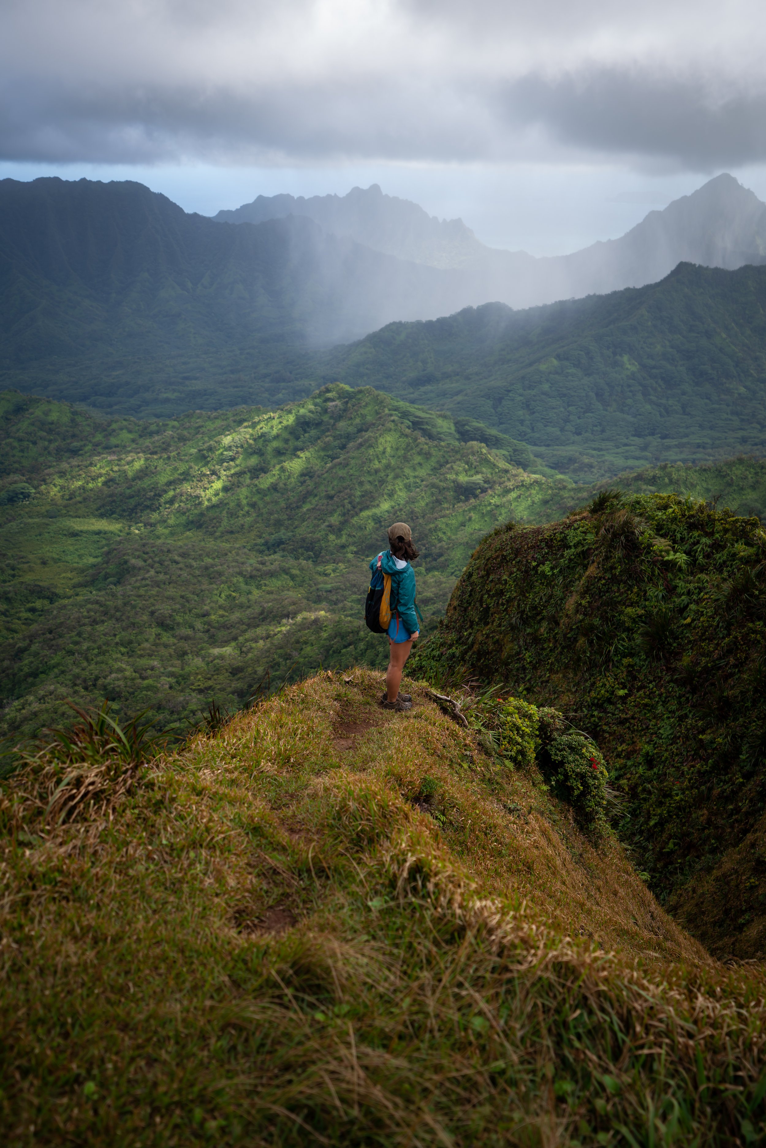
Whether you’re hiking Waimano Falls or Mānana Ridge, the easiest trail is down to the right.
Waimano Falls-Mānana Ridge Junction
Shortly after the area in the photo above, the Waimano Falls Trail will branch off of Mānana Ridge on the right-hand side.
Read My Separate Post: Mānana Ridge Trail
Past the Mānana Ridge junction, the Waimano Falls Trail becomes much steeper and often more slippery after the trail has seen recent showers.
Considering this, it’s important to be aware that the hike out can be much more difficult than the hike to Waimano Falls because of how steep the descent is, as most of the 550 ft. (168 m) of elevation gain is located in a relatively short stretch.
At this split, you can go which ever way looks easier, as both routes meet up shortly after.
At the split in the photo below, go left.
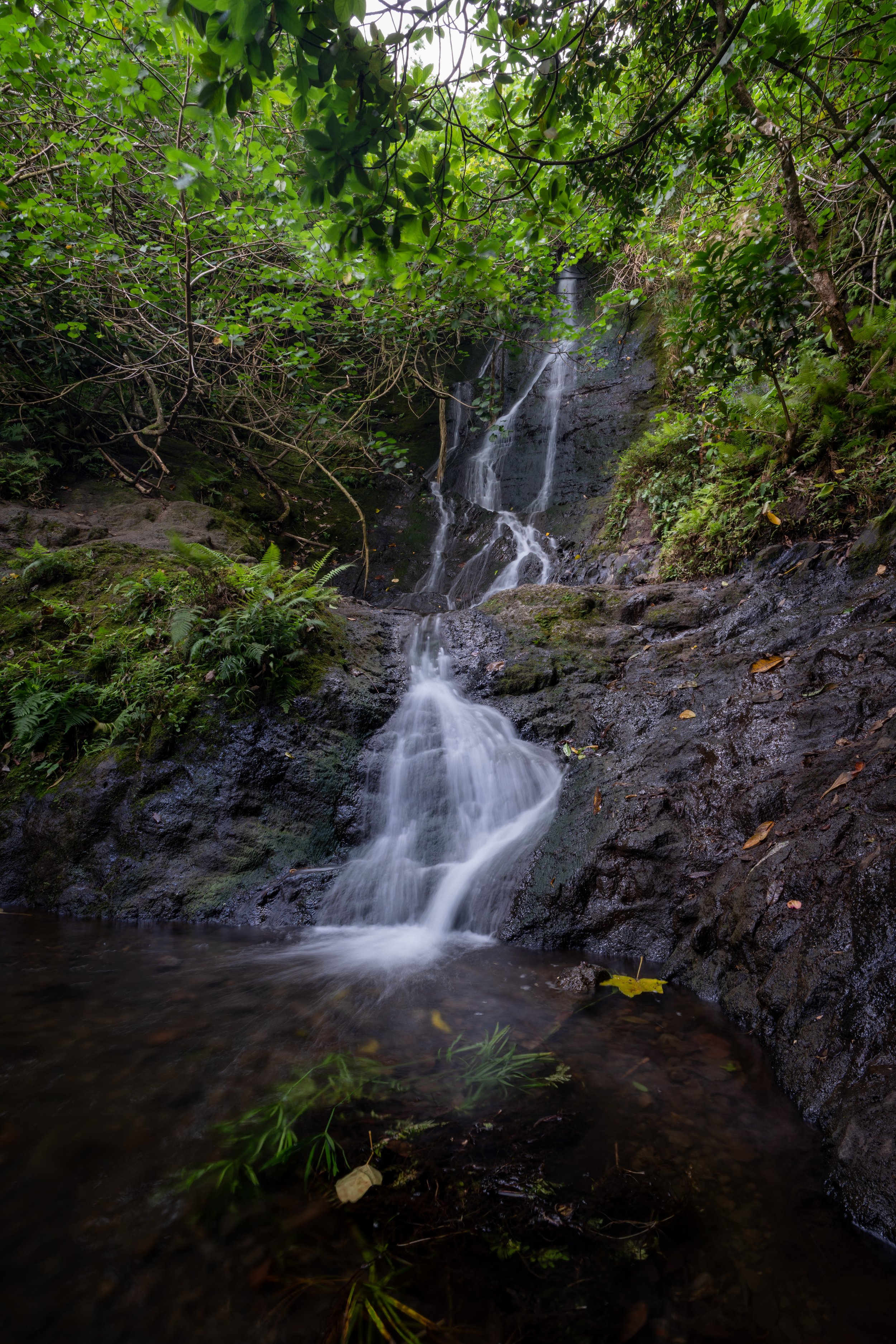
Lower Waimano Falls
After roughly 1.5 miles (2.4 km), the trail reaches the North Fork of the Waimano Stream, where Waimano Falls is located.
That being said, Waimano Falls is rain-fed, meaning that the falls may be anything from stagnant pools to beautiful waterfalls, depending on recent rainfall.
Upper Waimano Falls
Just a short climb above the Lower Falls, you’ll find Upper Waimano Falls, which may be taller, but the pool is considerably shallower.
Simply put, don’t jump in Upper Waimano Falls!
Hiking Out
Remember to wear good shoes, as all 550 ft. (168 m) off of Mānana Ridge will have to be climbed on the hike back out!
Native Plants on the Waimano Falls Trail
Generally speaking, the Waimano Falls is relatively low in elevation, as it doesn’t climb very high up Mānana Ridge before decending down to the stream.
This means that there is not a lot of native plants to look out for, with the exception of ʻŌhiʻa lehua, Koa, Uluhe, and Hau on both the Mānana Ridge and Waimano Pools sections of the trail.
If you would like to learn more about these and many other native Hawaiian plants from across the islands, I encourage you to check out my separate post linked below.
Read My Separate Post: Native Hawaiian Plant Guide


