Hiking the Puʻu ʻŌhulehule Trail on Oʻahu, Hawaiʻi
Distance: 8.2 miles / 13.2 km
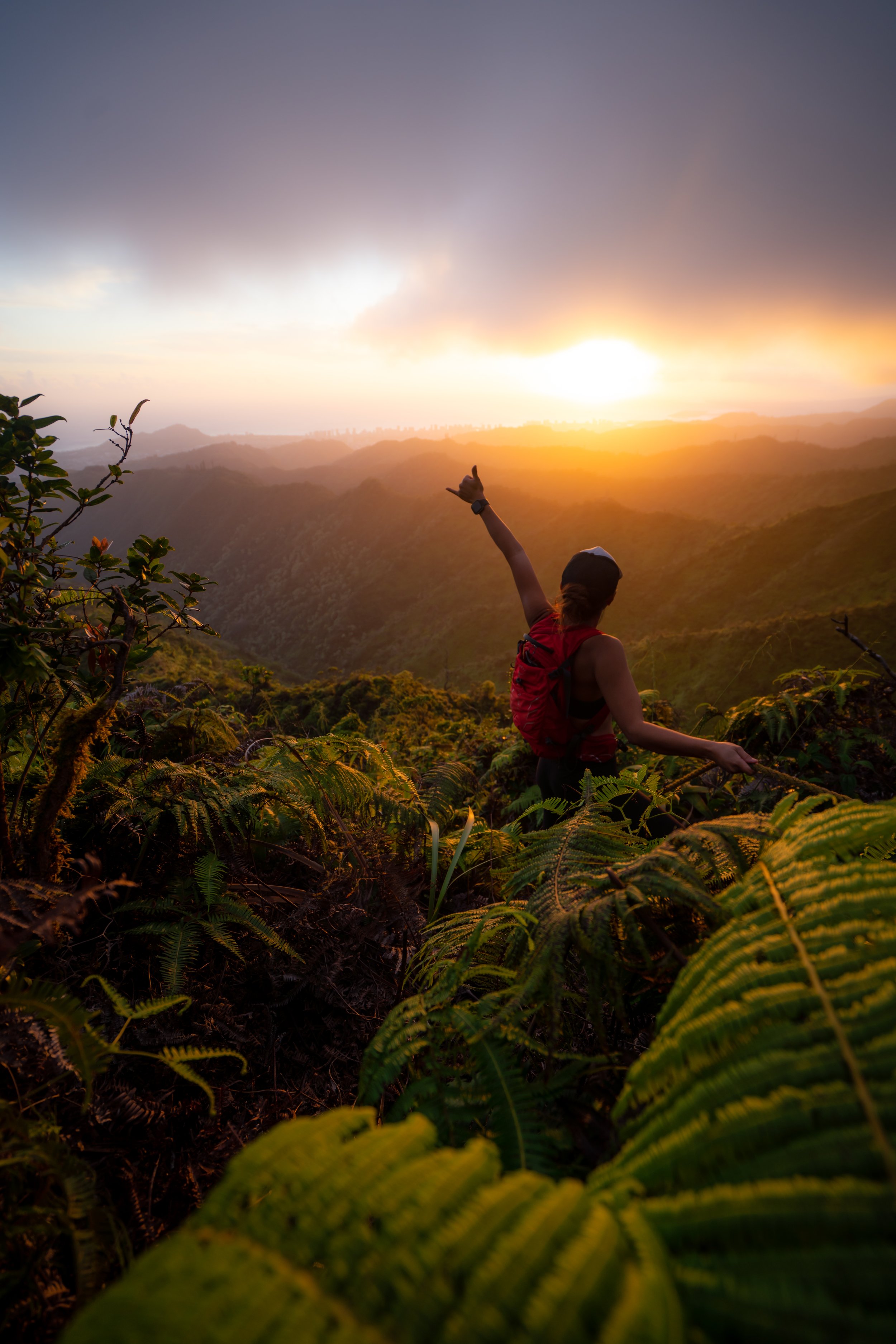
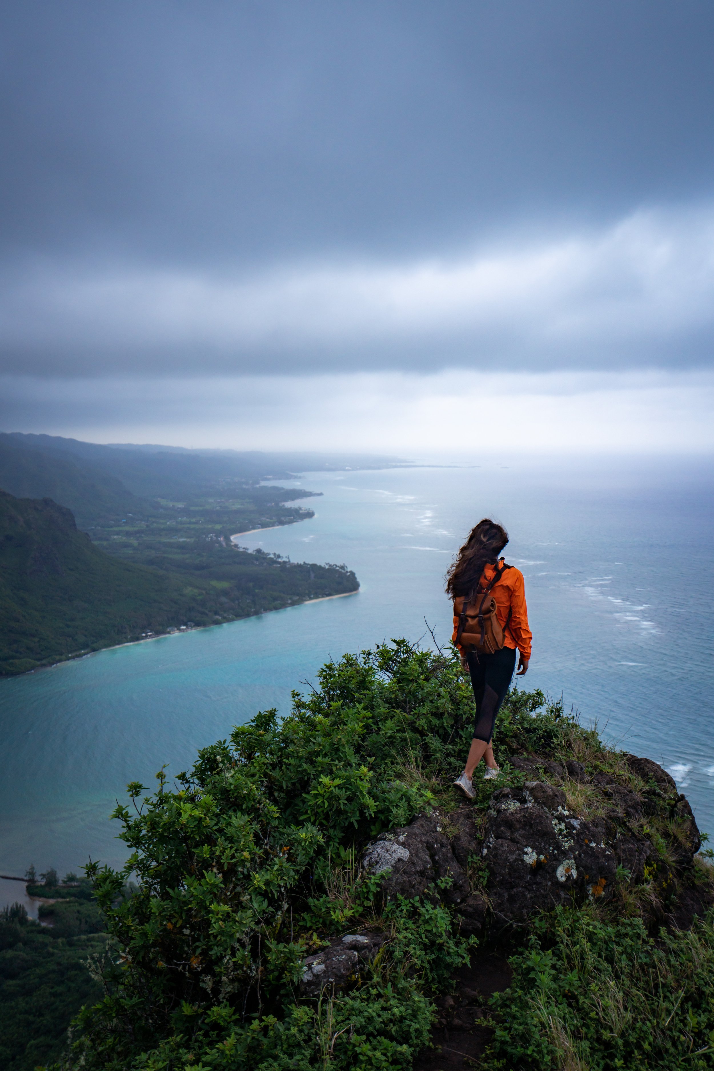
The Puʻu ʻŌhulehule Trail on the east side of Oʻahu is one of the least trafficked windward adventures, which may come as a surprise, as Puʻu ʻŌhulehule is truly an iconic standalone peak that can be seen in countless Hawaiʻi-based movies and TV shows.
This sentiment is most likely true because of how long and tedious the approach is, but the view from the summit ridge on a clear day makes this long, muddy hike one of my Oʻahu favorites!
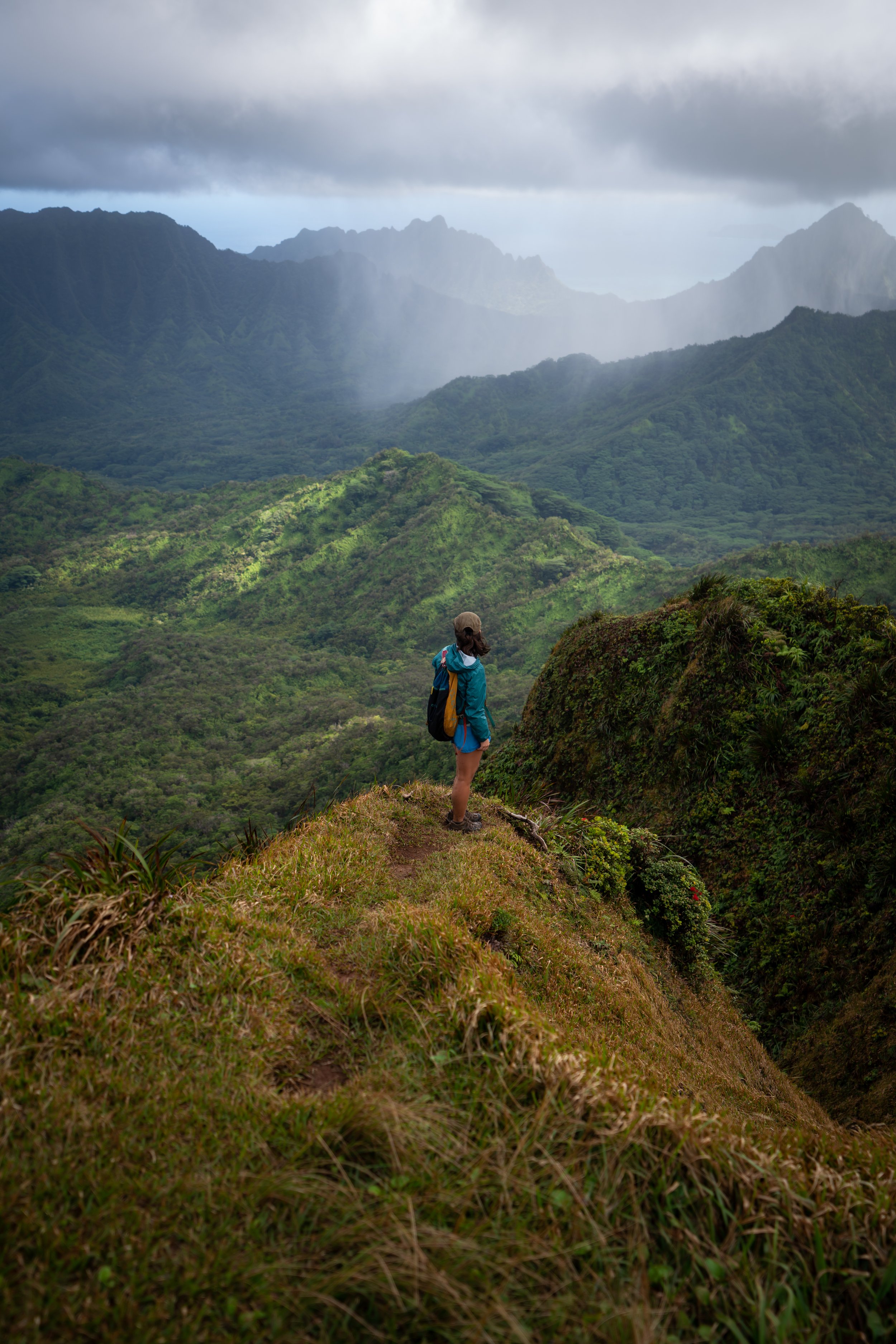
That said, Puʻu ʻŌhulehule is not a beginner trail. The route through the lower forest can be challenging to follow, the trail will likely be very overgrown, and the summit ridge toward the peak has at least one near-vertical section, with countless other areas that you cannot fall because of the high exposure.
I don’t say this to discourage anyone from hiking the trail, but know that Puʻu ʻŌhulehule is much more challenging than an adventure of similar distance, like Mt. Kaʻala.
Puʻu ʻŌhulehule Trailhead Parking
Parking for the Puʻu ʻŌhulehule Trail is located on the side of Kahana Valley Road just before the residential community in the valley.
However, if you have a valid hunting permit and parking pass, you can drive as far as the Nākoa/ Puʻu ʻŌhulehule Trailhead.
Google Maps Directions: Puʻu ʻŌhulehule Trailhead
Hiking the Puʻu ʻŌhulehule Trail
The Puʻu ʻŌhulehule Trail starts out on Kahana Valley Road for the first 0.6 miles (1.0 km) to the Nākoa Trailhead, which is included in the distance above.
Nākoa Loop Trail
Once at the Nākoa Trailhead, go left for the southern half of the Nākoa Loop and the Puʻu ʻŌhulehule Trail.
Read My Separate Post: Nākoa Loop Trail
Kahana Stream
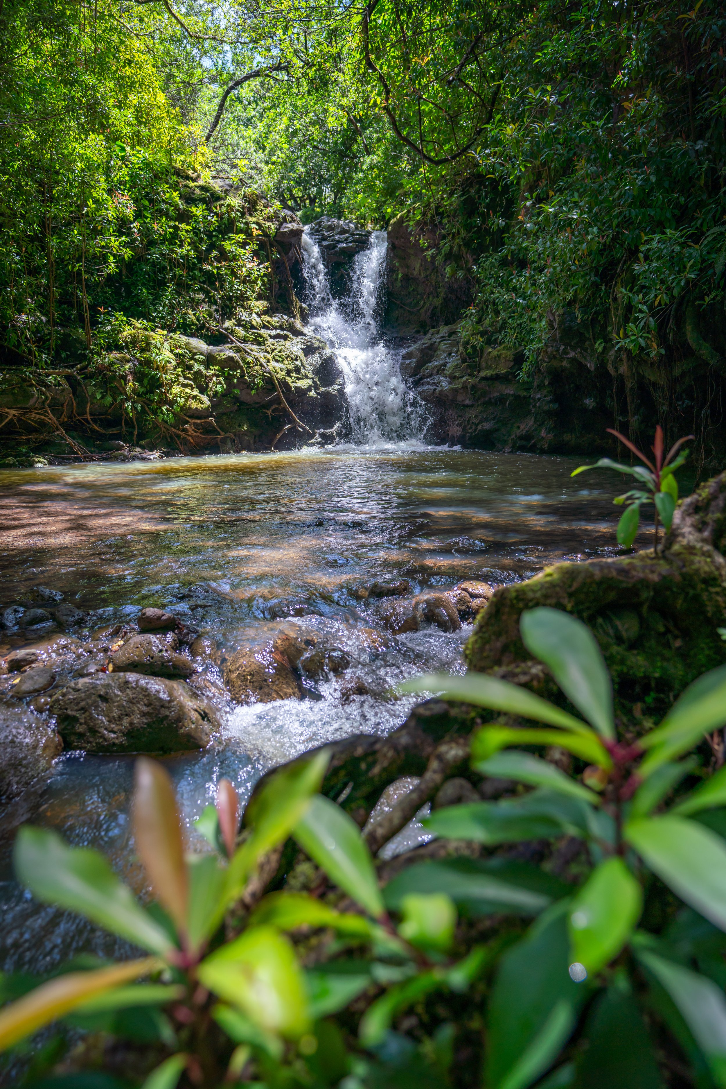
Not long after the Nākoa Trailhead the Puʻu ʻŌhulehule Trail comes to the infamous Kahana Stream crossing.
There’s essentially no way around this crossing without going knee to waste deep, depending on how tall you are.
If you care about keeping your shoes dry, it’s not the worst idea to hike in slippers for the first three stream crossings.
Puʻu ʻŌhulehule-Nākoa Loop Junction
Shortly after the Kahana Stream crossing, look for the Puʻu ʻŌhulehule junction on the left.
The turn off the Nākoa Loop will be located within the first 0.1 miles (0.2 km).
Read My Separate Post: Nākoa Loop Trail
On account of flooding and so many fallen trees in Kahana Valley, this section of the trail may be shifted in one direction or another from its main course.
For example, at this split it was easiest to go right on the new trail instead of going straight (left).
These next few stream crossings are also nearly impossible to keep your shoes dry.
In my opinion, it’s best to accept it right away, or like I said, hike in slippers until the third stream crossing in the photos below.
After the first three major stream crossings, the Puʻu ʻŌhulehule Trail will gradually start gaining elevation.
Then, the trail makes a hard left turn down toward the fourth and final stream crossing.
Other than the trailhead area on Kahana Valley Road, these are some of the first views of Puʻu ʻŌhulehule from the trail.
Kawa Stream
The Kawa Stream is the fourth and final stream crossing on the Puʻu ʻOhulehule Trail.
Just after the Kawa Stream crossing, the Puʻu ʻŌhulehule Trail will begin climbing up a ridge for the remainder of the hike.
There have been times when I’ve seen the trail more maintained, and times where the Uluhe is more overgrown, like in these photos.
In either case, I recommend wearing convertible hiking pants. Shorts would be the most useful on the beginning sections through the streams and pants are must on Puʻu ʻŌhulehule as you climb the ridge toward the summit.
The pants below are my recommendations that hold up the best with the overgrowth here in Hawaiʻi, but with any hiking pants that need to be durable, make sure that they are at or near 100% nylon. This is really the most important factor!
The 'Whale’s Belly'
When it comes to hiking, this steep section of trail below the canopy is the epitome of the term 'Whale’s Belly'.
It’s steep, hot, humid, muddy, and unless it’s fairly windy, the air tends to be pretty still until you get higher up on the ridge.
Consider bringing ropes to leave behind because when the trail is at its wettest, these steep, muddy sections can require a lot more effort for everyone if you don’t have a rope.
Summit Ridge
After a long push through the Whale’s Belly, the Puʻu ʻŌhulehule Trail makes a hard turn toward the summit.
These sections to come are the steepest and most exposed parts on the entire hike.
This was taken while hiking past an ʻAkolea population.
That being said, there’s also Māmaki directly behind where this was taken, so don’t get the two confused if you’re trying to learn the difference.
Furthermore, if you are curious about trying the native Hawaiian Māmaki tea, I kindly ask that you don’t harvest Māmaki from our native forests but, instead, buy from one of the local reputable vendors, such as those listed below.
Yes, it’s really that steep, which is why I again want to suggest bringing new ropes to leave behind for both the summit ridge and the muddy section through the Whale’s Belly, as previously mentioned.
To compare the summit ridge on ʻŌhulehule with another Oʻahu trail, I think it’s most comparable to the steep sections in the beginning of Lulumahu Ridge.
Toward the top, Puʻu ʻŌhulehule levels out significantly from the middle portions of the summit ridge.
This is a change that you can see better from far away, but it’s a nice sign that you’re getting close to the top!
Puʻu ʻŌhulehule
The summit of Puʻu ʻŌhulehule is very overgrown, and the best views are on the far side of the peak.
The summit has one of the larger wild Olonā populations out there, meaning that there are at least three of the four native plants on Puʻu ʻŌhulehule that host the Pulelehua (State Insect).
On the far side of the peak above the Southeast Ridge, Puʻu ʻŌhulehule has some of the best views of windward Oʻahu.
It was fun watching the tours on Kualoa Ranch go by below.
Southeast Ridge
The Southeast Ridge on Puʻu ʻŌhulehule has been regarded as one of most challenging hikes by some very good Oʻahu hikers.
In my experience, I think there are other trails that are much more challenging, such as Puʻu Piei Makai, but in any case, I don’t think I would ever head down the Southeast Ridge from the summit of ʻŌhulehule.
In my mind, it’s a one-way hike up the ridge from Pride Rock.
I say this to say that the Southeast Ridge on Puʻu ʻŌhulehule is not easier than returning back through Kahana Valley. When I did hike the Southeast Ridge, we started at Pride Rock and ended in Kahana, which is the only way I’d recommend the route to anyone.
Overall, it’s much more challenging than Puʻu ʻŌhulehule alone, and only experienced Oʻahu hikers should attempt a ridgeline like this.
Native Plants on the Puʻu ʻŌhulehule Trail
On top of Kahana Valley being covered in non-native/ invasive plants, Puʻu ʻŌhulehule is a very weedy peak.
That said, there are a variety of native plants that you can find in the lower valley, such as Hala and Hau, and as the trail gains elevation, look for other natives, such as ʻŌhiʻa, Koa, Uluhe, Māmaki, ʻAkolea, ʻAhakea lau nui, and Olonā on the summit.
If you would like to learn more about these and other native plants from across the islands, check out my separate post at the link below.
Read My Separate Post: Native Hawaiian Plant Guide


