Hiking the Kapaʻeleʻele Trail on Oʻahu, Hawaiʻi
Distance: 1.2 miles / 1.9 km
The Kapaʻeleʻele Trail in Kahana Valley on the east side of Oʻahu is a little-known historic trail below Puʻu Piei that often gets overshadowed by other, more popular day hikes in the area, like the Crouching Lion Trail and Puʻu ʻŌhulehule.
By this, I mean that the relatively short 1.2-mile (1.9 km) loop that parallels Kamehameha Highway is rarely hiked compared to its nearby neighbors, and when it is, it’s often used as an access trail for one of a few different routes up Puʻu Piei.
That said, the Kapaʻeleʻele Trail, on its own, can be a great, easy adventure for those looking to explore a quiet little corner of the island, which is best enjoyed at Keaniani Kilo because of the beautiful views above Kahana Bay.
Kapaʻeleʻele Trailhead Parking
Parking for the Kapaʻeleʻele Trail is located at the Orientation Center within Ahupuaʻa ʻO Kahana State Park.
Google Maps Directions: Kapaʻeleʻele Trailhead
Hiking the Kapaʻeleʻele Trail
From the Orientation Center, look for the Kapaʻeleʻele Trail sign.
Kapaʻeleʻele begins down this dirt road where the trailhead is marked shortly ahead.
Stay on the main path heading straight (left).
At about 0.2 miles (0.3 km), the Kapaʻeleʻele Trailhead is marked before it heads uphill around Kahana Bay.
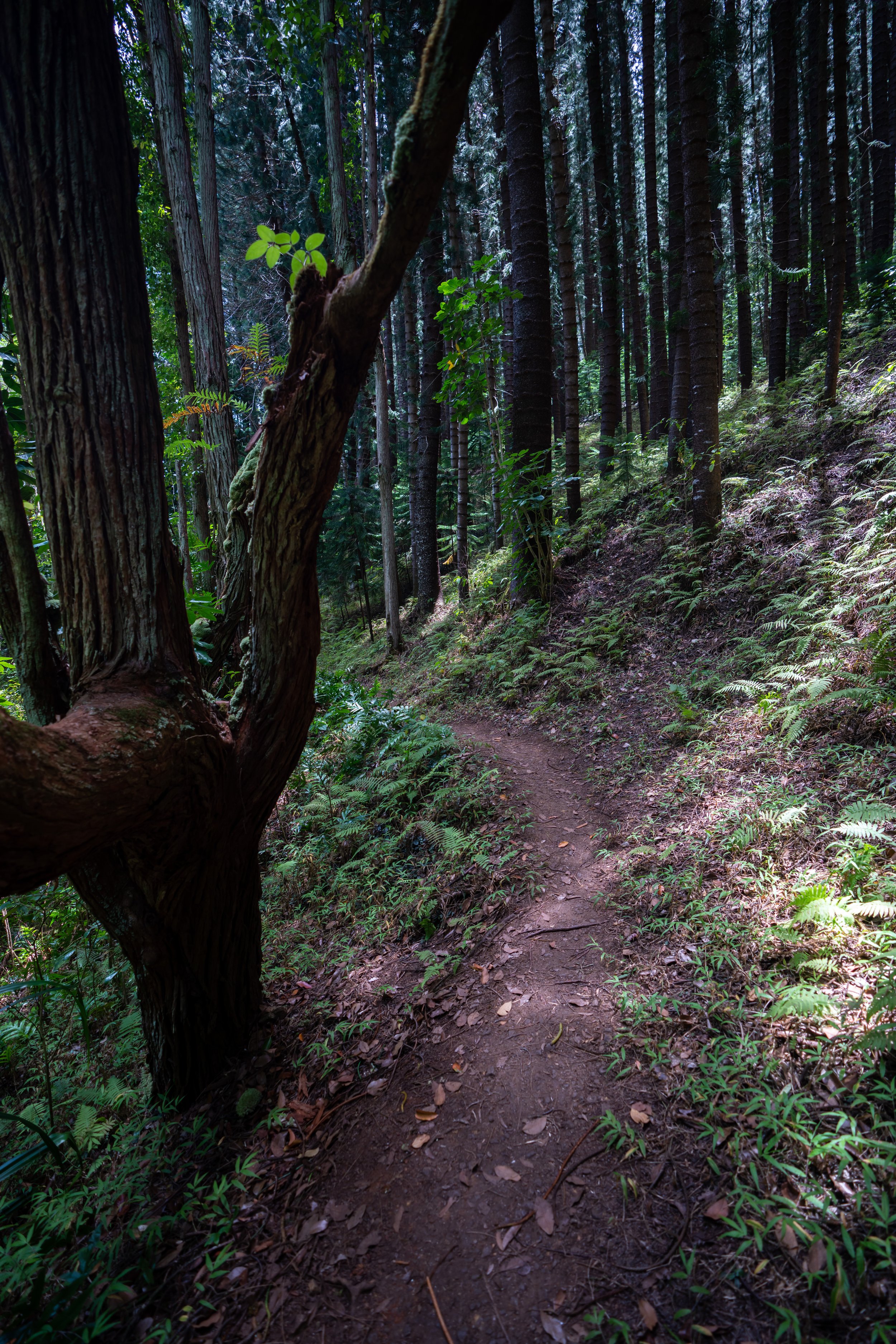
If it has rained recently, the Kapaʻeleʻele Trail may be one of the muddiest hikes on the island.
Go right at this split to stay on the Kapaʻeleʻele Trail.
Keaniani Kilo
There is a lot of confusion surrounding the map posted by the DLNR and the location of Keaniani Kilo, which is supposed to be a lookout over Kahana Bay.
All I can say is that the lookout in the photo below is the only lookout on the entire trail. The map shows that Keaniani Kilo is located past Kapaʻeleʻele Koʻa, but it may be a historic lookout that is no longer there because of all the non-native trees blocking the view.
That’s why I’m calling this Keaniani Kilo. There is no other lookout where the map says that there is ahead.
Kapaʻeleʻele Koʻa
The Kapaʻeleʻele Koʻa shrine is the most well-marked historic site on the trail.
Please do not disturb.
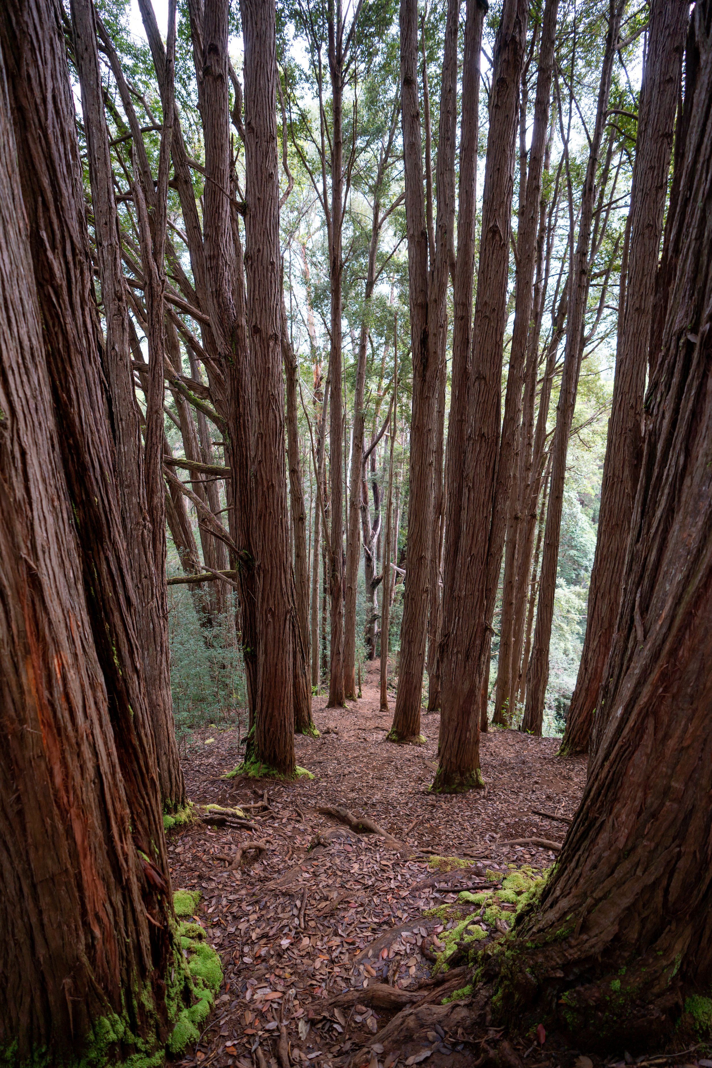
This split in the photo below is where the map says that Keaniani Kilo is located.
However, I followed the trail up the ridge for quite a ways and didn’t find anything like the Kapaʻeleʻele Koʻa shrine. To that point, other people on various sites have said the same.
Kapaʻeleʻele Koʻa may have been located up the ridge historically, but there’s nothing to find today.
Kila Ridge Junction (Puʻu Piei)
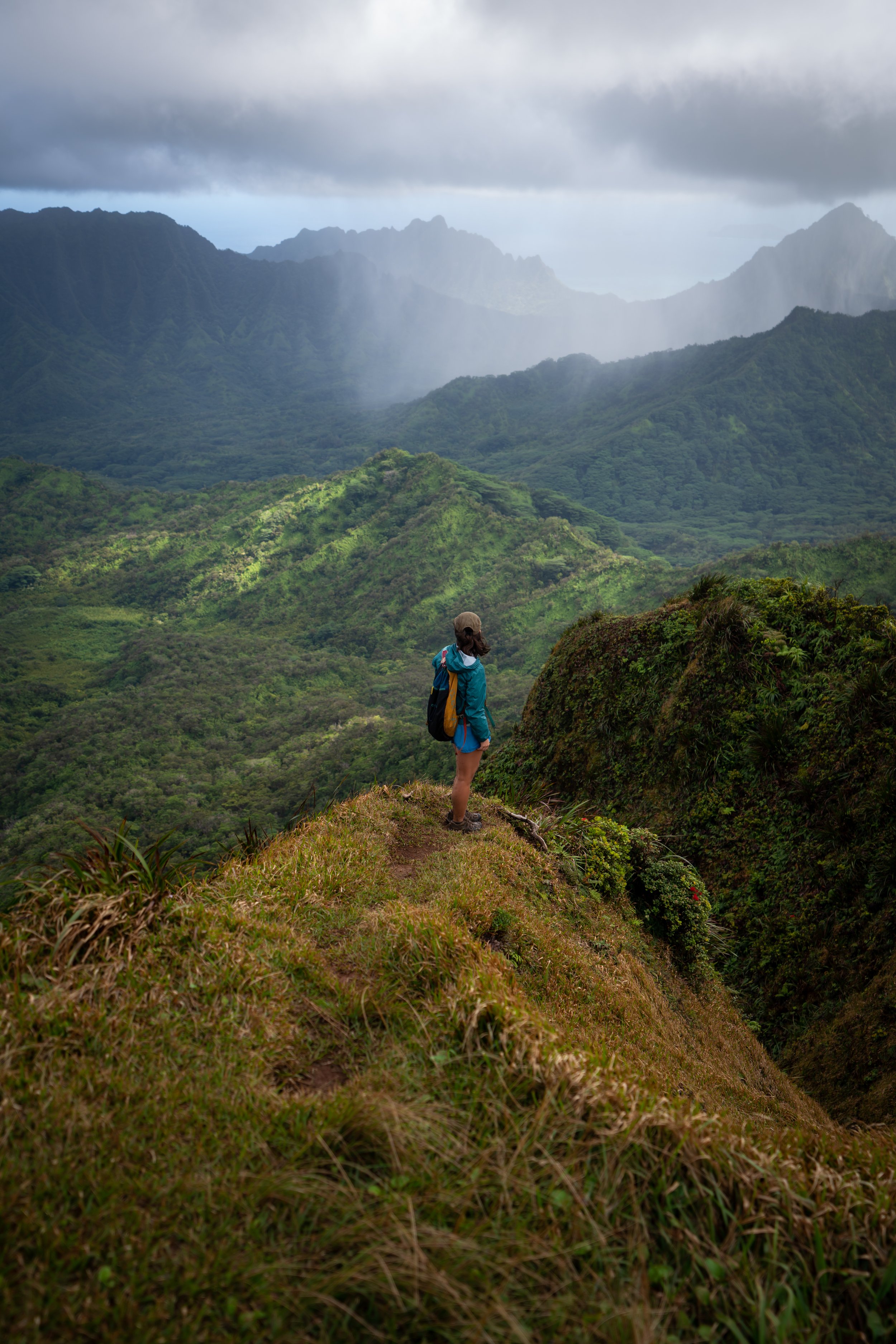
However, the junction is the turn for Kila Ridge up to the most difficult part of Puʻu Piei.
If you’re curious to know more, I have written a separate post about the North and Middle Ridges on Puʻu Piei, including some information about the dramatic Piei Makai Ridge to the summit.
Read My Separate Post: Puʻu Piei Trail
These final switchbacks down to Kamehameha Highway may be one of the muddiest spots on the entire trail.
This is the official Kapʻeleʻele Trailhead/ exit, but it’s surprisingly not marked in any way.
Additionally, even the DLNR website says that the route back to the start is along the side of Kamehameha Highway, but it seems a little dangerous to me.
Perhaps they should build a path to keep hikers away from the traffic.
Native Plants on the Kapaʻeleʻele Trail
Kapaʻeleʻele is a very low-elevation trail for Hawaiʻi, meaning that the hike is dominated by non-native/ invasive plants like Octopus trees and Shoe Button.
However, in select spots, I was able to find ʻĀkia on the trail.
If you would like to learn more about native plants in Hawaiʻi, check out my separate post about our beautiful native species from across the islands.
Read My Separate Post: Native Hawaiian Plant Guide


