Hiking the Nuʻuanu Trail on Oʻahu, Hawaiʻi
Distance (Roundtrip): 5.0 miles / 8.0 km
The Nuʻuanu Trail on Oʻahu is a relatively short but steep 2.5-mile (4.0 km) day hike off the Judd Trail in Nuʻuanu Valley that is most often seen as a connector trail within the larger Tantalus Trail network, which extends from Makiki Valley to the Koʻolau Summit atop Puʻu Kōnāhuanui.
That said, the Nuʻuanu Trail can most similarly be compared with the ʻAihualama Trail, located on the Mānoa Valley side of the mountain.
By this, I mean that just as the ʻAihualama Trail can be used to create a loop with Puʻu Kōnāhuanui and the Mānoa Middle Ridge Trail, the Nuʻuanu Trail is also a preferred route to create a loop with the Lulumahu Ridge Trail and Puʻu Kōnāhuanui.
Furthermore, I personally think that the Nuʻuanu Trail makes for a great standalone day hike, which is something that I typically would not say about the ʻAihualama Trail.
For those interested in hiking to the summit of Puʻu Kōnāhuanui from Nuʻuanu Valley, know that the distance is 5.1 miles (8.2 km) each way, with an additional 875 ft. (267 m) of elevation gain compared to just over 4.0 miles (6.4 km) each way from the Kalāwahine Trailhead on Tantalus.
Nuʻuanu Trailhead Parking
Parking for the Nuʻuanu Trail is located at the Judd Trailhead on the side of Nuʻuanu Pali Drive, just up the hill from the infamous Morgan’s Corner.
Out of caution, consider the Judd/ Nuʻuanu Trailhead to be a high-crime area for petty theft, meaning you should never leave visible bags or anything valuable in your car.
To add to this warning, never park at this trailhead with an expired registration or safety check. The Honolulu Police Department and towing companies target this area for cars that they can legally tow if one of these two things is expired.
Google Maps Directions: Nuʻuanu Trailhead (Judd)
Hiking the Nuʻuanu Trail
The Nuʻuanu Trail begins at the Judd Trailhead, which it will follow for the first 0.5 miles (0.8 km) to the upper part of the loop.
Shortly after the trailhead, the Judd Trail appears to split, but to stay on the official route, go right to continue across the Nuʻuanu Stream.
Nuʻuanu Stream
After just 0.1 miles (0.2 km), the Judd Trail crosses the Nuʻuanu Stream.
There is usually a way to cross on the rocks without getting your shoes wet, but this may not be the case if the stream is running high—typically during the wetter winter months.
Judd Loop Trail
On the far side of the stream, there’s either the option to go left (straight) around the upper side of the Judd Loop or right on the lower but longer side.
Personally, I recommend going left (straight) at the split, in order to follow the fastest route to the Nuʻuanu Trail junction.
Read My Separate Post: Judd Trail
Lower Nuʻuanu (Judd)-Makuku Ridge Junction
When the Judd Trail passes this obvious trail on the left-hand side, go straight to continue on the Judd Loop toward the Nuʻuanu Trail junction, as this is the split for the very steep Makuku Ridge Trail, which will intersect the Nuʻuanu Trail higher on Tantalus.
This bend in the Judd Trail is easily the most confusing part of the upper Judd Loop because there isn’t one clear path when coming from either direction.
That said, don’t hike uphill. Instead, follow the path to the left around the lower part of the hill to find where the Judd Trail continues on the other side.
After the open section shown above, the Judd Trail becomes much more straightforward for the rest of the hike to the Nuʻuanu junction just a short distance ahead.
Nuʻuanu-Judd Junction
After 0.5 miles (0.8 km), the Nuʻuanu Trail officially begins.
This is the southernmost side of the Judd Loop, just before the Judd Trail drops down to the lower half that passes by Jackass Ginger Pool.
That said, this is where the vast majority of the uphill begins, gaining about 825 ft. (251 m) from this point to the Pauoa Flats Trail on Tantalus.
Read My Separate Post: Judd Trail
The Nuʻuanu Trail will begin climbing out of the valley immediately after leaving the Judd Loop Trail behind.
These lower elevations on the Nuʻuanu Trail are typically the muddiest sections of the entire hike, especially during the wetter winter months!
At first, the lower elevations of the Nuʻuanu Trail will climb a few very short switchbacks through the Cook Pines, but the Nuʻuanu Trail is really all about the four main switchbacks that begin a short distance ahead.
Some hikers may prefer to use trekking poles on the Nuʻuanu Trail, as the vast majority of the hike involves either climbing or descending into or out of Nuʻuanu Valley.
When the Nuʻuanu Trail begins to switch back and forth rapidly, the trail is nearing the end of the Cook Pines forest and the beginning of the four main switchbacks that climb up to Tantalus.
The photo below shows where the Nuʻuanu Trail begins climbing the first of the four longer switchbacks to the upper ridge.
This is the first of the four main switchbacks, and it’s the fastest—meaning the shortest—of the four to reach.
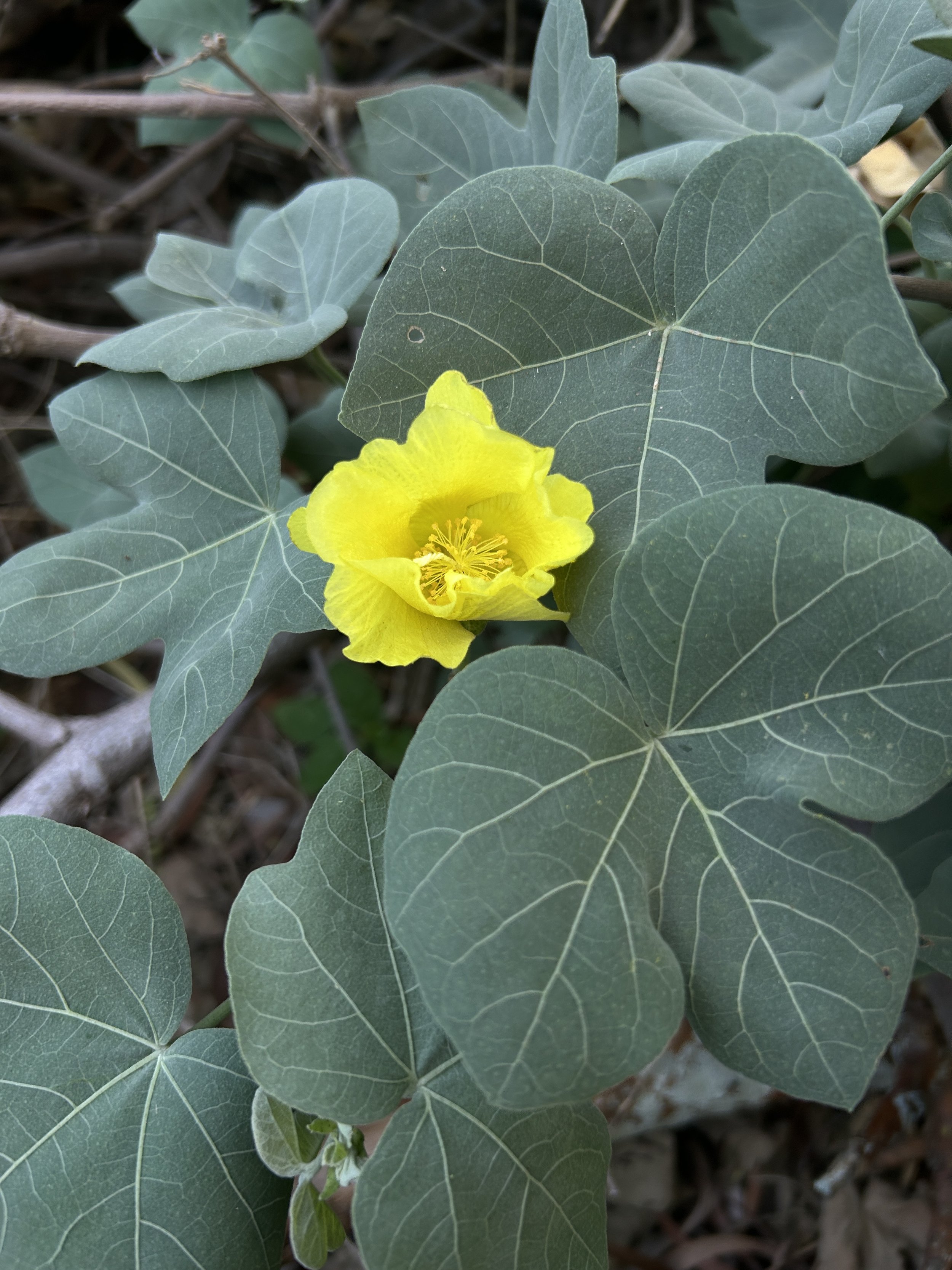
Māmaki is a very common native growing throughout the Tantalus understory, but if you are curious about trying the native Hawaiian Māmaki tea, I kindly ask that you don’t harvest Māmaki from our native forests.
Instead, Māmaki can be bought from one of the local reputable vendors listed below.
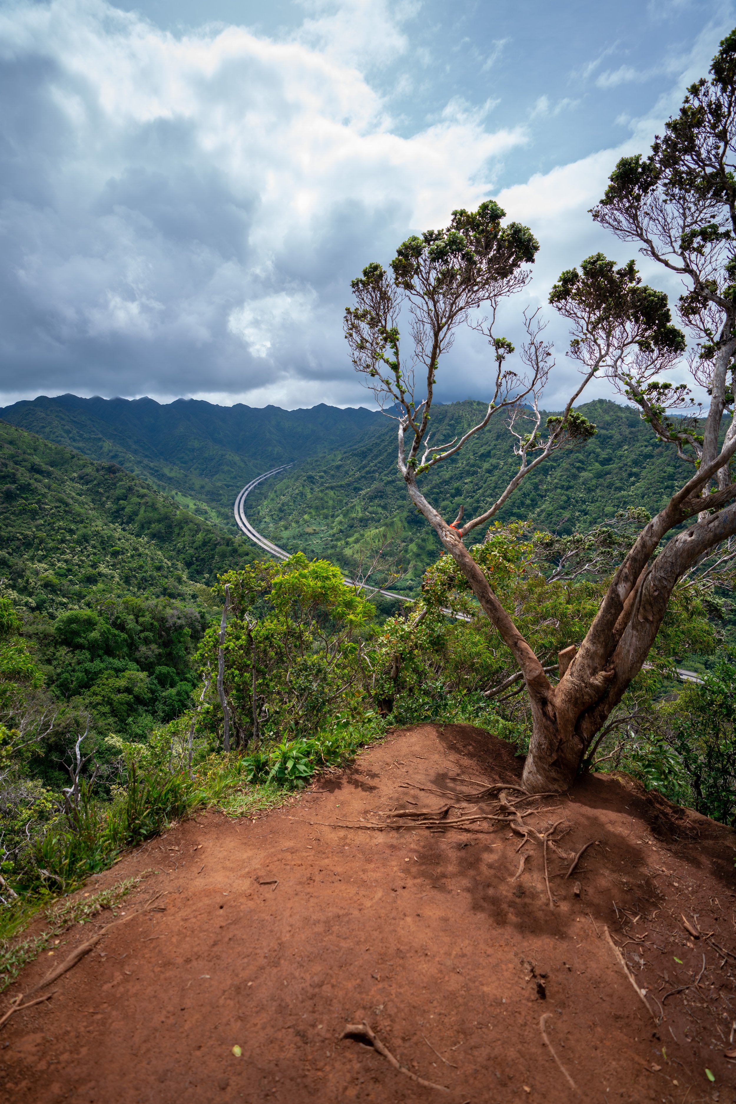
This is the view looking north toward Kapālama Ridge and Puʻu Lanihuli.
This is the second of the four notable switchbacks.
This steep rocky section is one of a few reasons why trail running the Nuʻuanu Trail is a bit tricky!
However, the loose rocks and mud on the switchbacks to up Tantalus stand out even more in my mind, but if you are looking for good trail-running shoes to use in Hawaiʻi, the ones linked below are the ones I trust!
For comparison, I personally think the Nuʻuanu Trail is most similar to the Kuliʻouʻou Ridge Trail in terms of effort, though the reward at the top of each is vastly different.
This is the third of four switchbacks to the upper ridge, and it’s where the final long ascent begins to reach the last switchback.
When the Nuʻuanu Trail curves around this bend, the famous Banyan tree and the fourth switchback are not far ahead!
After walking under the beautiful Banyan tree in the photo above, the Nuʻuanu Trail turns the fourth and final major switchback, where the trail begins the upper ridge.
This is where the best views of the entire hike begin, which continue for most of the way to the Pauoa Flats Trail on Tantalus!
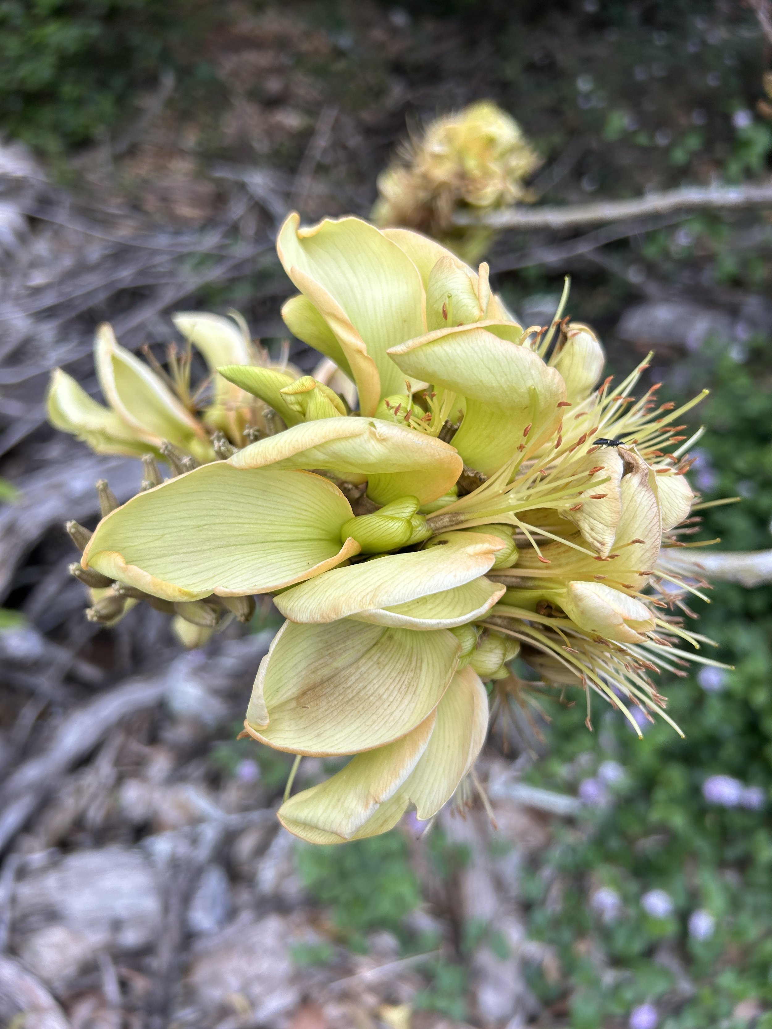
This section, between the final switchback and the Pauoa Flats Trail on Tantalus, is where the Nuʻuanu Trail navigates its way through a predominantly native Koa–ʻŌhiʻa forest filled with countless native Hawaiian plants that hikers can find along the way, like this Kōpiko.
In my opinion, this is where trail running the Nuʻuanu Trail gets a lot more fun!
Nuʻuanu Bench
The Nuʻuanu Bench is more or less a mental checkpoint on the between the fourth switchback and the Pauoa Flats junction ahead.
Upper Nuʻuanu-Makuku Ridge Junction
This is where the steep Makuku Ridge Trail meets the Nuʻuanu Trail, which first branched off the Judd Trail down in Nuʻuanu Valley.
One of the cool things about the Nuʻuanu Trail is that hikers can see two of the most common endemic Hāpuʻu ferns growing directly alongside the trail—even alongside one another!
That said, telling the two most common species apart can be challenging, unless you know the little trick described below!
Cibotium glaucum vs. Cibotium chamissoi
There are subtle differences in the pinnae that can be hard to describe, but for a quick, easy way to determine which species you’re looking at, flip the fronds!
The underside of Cibotium glaucum will look pale/ light green, while Cibotium chamissoi will be a distinct green color (not pale).
Nuʻuanu-Pauoa Flats Bench Connector
This is where the connector trail that connects the Nuʻuanu Trail with the Pauoa Flats Bench begins.
That said, it’s not a route I recommend hiking, because simply sticking to the Nuʻuanu Trail and the Pauoa Flats Trail ahead is much easier.
The hill in the distance is the top of Tantalus, where the infamous towers off Telephone Road and the Puʻu ʻŌhiʻa Trail are found.
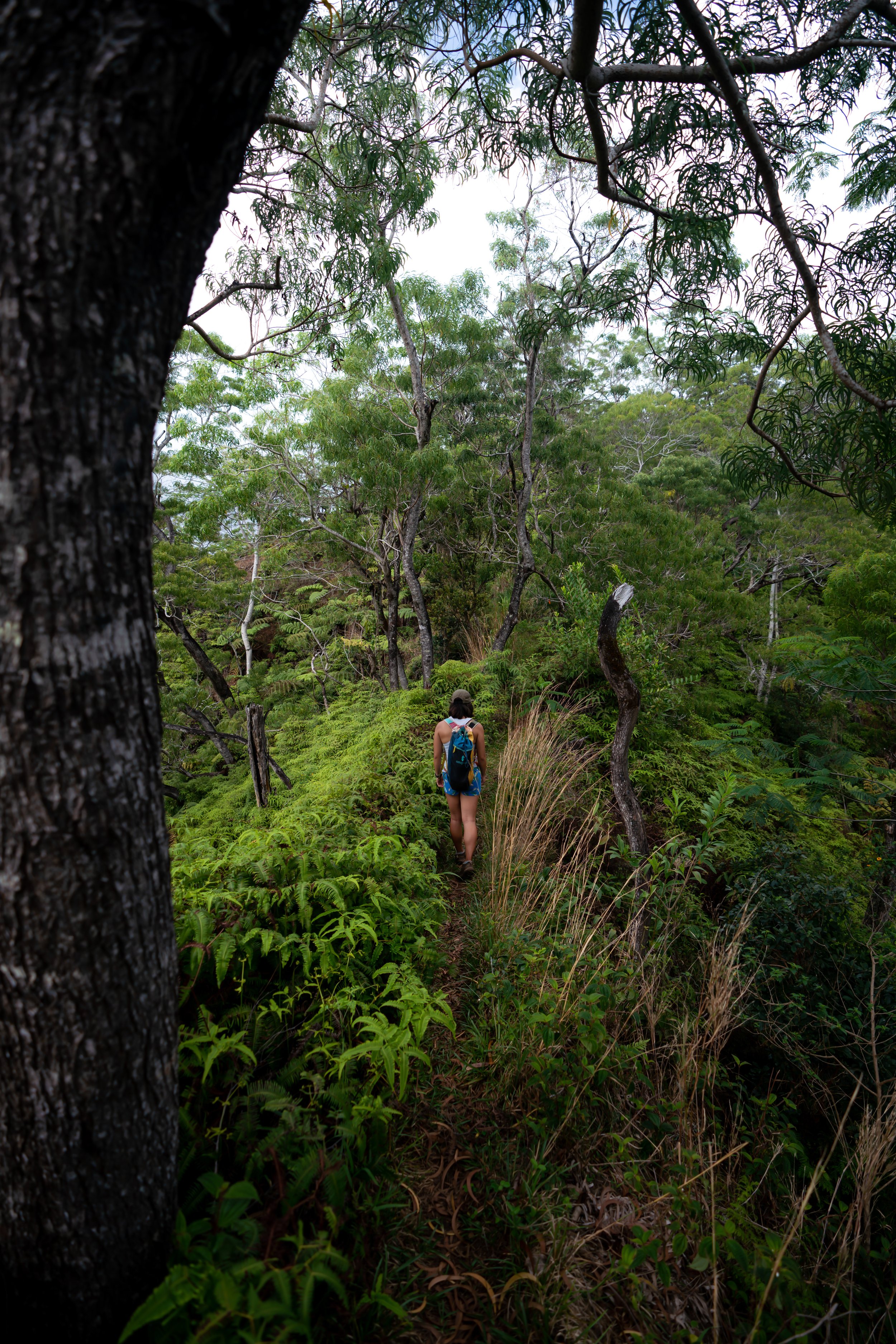
When the Nuʻuanu Trail re-enters an overstory forest, there are only about 0.3 miles (0.5 km) left before the Pauoa Flats Trail and the rest of the Tantalus Trail network begin.
Just before the Pauoa Flats Trail, the Nuʻuanu Trail begins navigating through a very flat, wide-open section away from the drainage that it previously paralleled on the right-hand side.
This is a nice sign that the Pauoa Flats Trail is not far ahead!
Nuʻuanu-Pauoa Flats Junction
The Nuʻuanu Trail ends where it meets the Pauoa Flats Trail, about halfway between the Mānoa Cliff Trail to the right and the Pauoa Flats Bench to the left.
That said, one of the most popular destinations to hike to on Tantalus is the Pauoa Flats Bench, located roughly 0.4 miles (0.6 km) away from this junction.
If you are interested in hiking more of the Tantalus Loop Trail, I encourage you to use the link below to check out my separate article about the entire network of trails, beginning from the trailhead in Makiki Valley.
Read My Separate Post: Tantalus Loop Trail
At the junction shown above, I chose to go left to continue hiking out to the Pauoa Flats Bench.
Pauoa Flats-ʻAihualama Junction
About 0.1 miles (0.2 km) after the Nuʻuanu junction, the Pauoa Flats Trail will pass the final split before the bench.
This is the ʻAihualama Trail, which serves as a connector between this point on Tantalus and the Mānoa Falls Trail below.
That aside, to continue hiking up to the Pauoa Flats Bench, go straight at this final junction.
Read My Separate Posts: ʻAihualama Trail / Mānoa Falls Trail
Even on a beautiful sunny day like this, the Pauoa Flats Trail between ʻAihualama and the bench is often very muddy!
Pauoa Flats Bench
This is the Pauoa Flats Bench, and this viewpoint is the end of the maintained trail network on Tantalus.
By this, I mean that the ridge does continue farther up to the Koʻolau Summit, but if you weren’t prepared to hike that far, I recommend turning back, as the trail only gets more and more challenging from this point on.
Read My Separate Post: Puʻu Kōnāhuanui Ridge Trail
Native Plants on the Nuʻuanu Trail
The Nuʻuanu Trail passes through a number of environments, where the lower elevations along the Judd Trail within Nuʻuanu Valley are predominantly non-native, invasive species, such as Bamboo and Cook Pine trees, while the upper elevations slowly transition to a more native forest the higher it climbs.
That said, there are a number of native plants that hikers can see throughout the trail, including ʻŌhiʻa lehua, Kōpiko, Hāpuʻu, Koa, Uluhe, Palaʻā, Moa, and Hoe-a-Māui.
If you would like to learn more about these and many other native Hawaiian plants from across the islands, I encourage you to check out my separate post linked below.
Read My Separate Post: Native Hawaiian Plant Guide