Hiking Coyote Gulch via the Water Tank Trail in Escalante, Utah
Distance (Roundtrip): 4.2 miles / 6.8 km
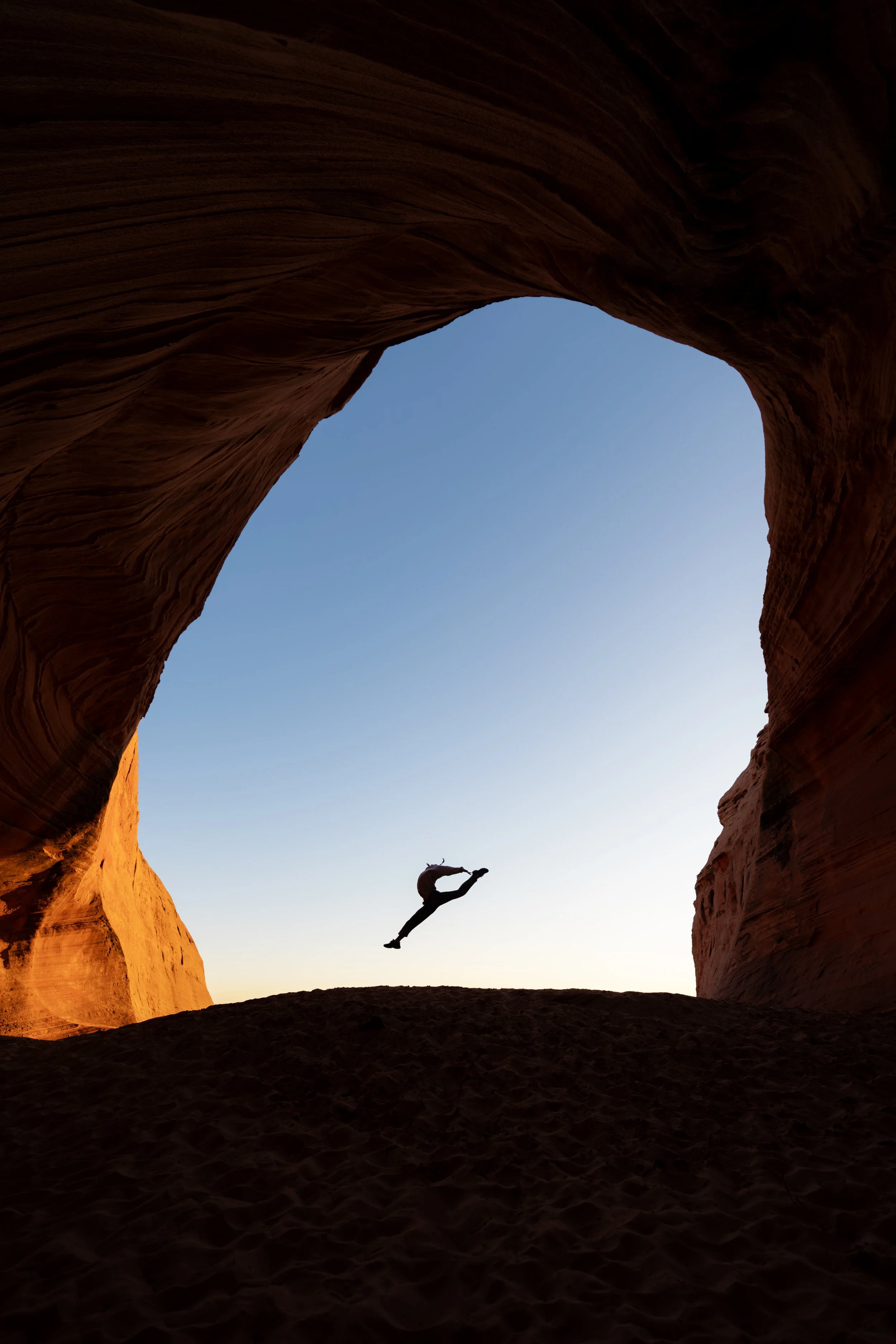
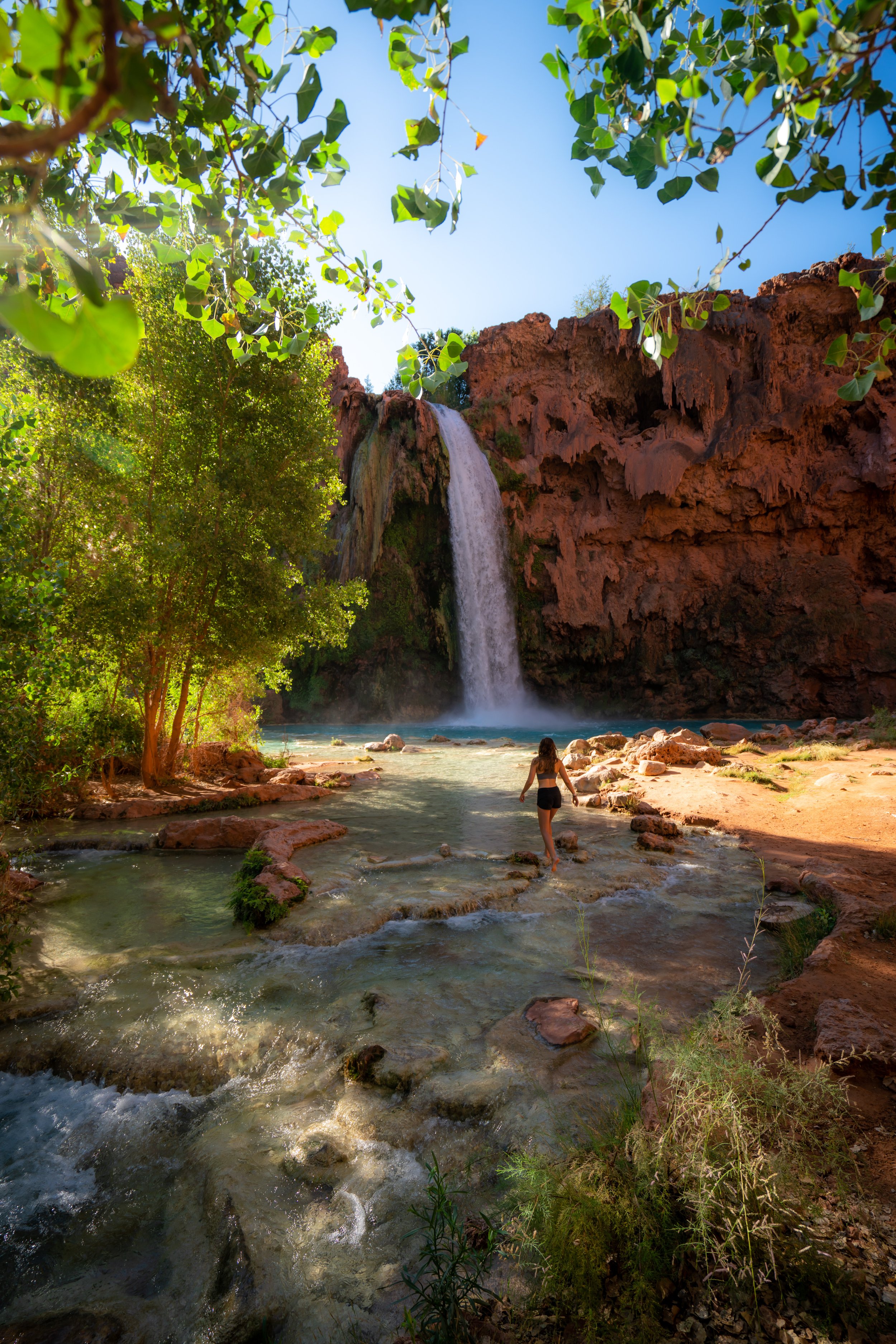
With its expansive natural arches, cold year-round creek, and canyon walls that tower above, Coyote Gulch is, without a doubt, one of the most beautiful natural wonders across the American Southwest!
That said, Coyote Gulch can be a very different adventure, depending on the trailhead you choose to begin.
By this, I mean that Coyote Gulch can be a very long, multi-day backpacking trip from either the Red Well or Crack-in-the-Wall Trailhead, or a day hike from the 40-Mile Water Tank Trailhead—the shortest and most direct route to reach the most popular destinations within Coyote Gulch.
This is what this post is about, which is reflected in the roundtrip distance above. However, hiking further to the Jacob Hamblin Arch and other features within Coyote Gulch are not included, as it truly depends on which direction and how far you choose to explore.
How to Get to the 40-Mile Water Tank Trailhead?
The Coyote Gulch 40-Mile Water Tank Trailhead is located within the Grand Staircase-Escalante National Monument, a one-and-a-half to two-hour drive outside of Escalante, depending on the road conditions.
That said, the actual monument is massive and extremely remote, which is why it’s always recommended to start the Hole in the Rock Road on a full tank, as the drive from Escalante is just over 45 miles (72.4 km) through some of the most unforgiving desert.
Now, if it hasn’t rained recently, Hole in the Rock Road can handle almost any vehicle to get to the Water Tank Trailhead—but I say that lightly, because heavy rain can make the road impassable. I’ve personally seen this happen once when I tried to visit the Grand Staircase.
All in all, I’ve been on Hole in the Rock Road a number of times, and from my experience, not all sections are the most maintained—especially the last few hundred yards toward the parking area. Therefore, be sure to take it easy, as I can imagine a flat tire would be less than ideal this far from the pavement.
40-Mile Water Tank Trailhead Parking
After a long and tedious ~41-mile (66.0 km) drive out of Escalante, Hole in the Rock Road splits, with the road that leads to the Water Tank Trailhead.
As mentioned previously, take it slow on these remaining few miles, as they tend to be the roughest in my experience.
In any case, parking for the Coyote Gulch Trail at the water tank is located in a large dirt parking lot, where the spur road ends.
Google Maps Directions: 40-Mile Water Tank Trailhead
Southwest Hiking Checklist
Obviously, for camping, you will need general backpacking gear. For this reason, I wrote a separate post about what backpacking gear is worth the money, from my experience, and what the best alternatives are to save you money.
Read My Separate Post: Best Ultralight Backpacking Gear
In addition, here is a complete list of must-have things that you will want for any hike in the Southwest U.S.
Hiking the Water Tank Trail into Coyote Gulch
From the 40-Mile Water Tank Trailhead, the hike to the bottom of Coyote Gulch is only 2.1 miles (3.4 km) each way.
That said, I’m not even mentioning the other routes into Coyote Gulch because our group actually got lost by starting from the water tanks. So, when we finally made it back to the parking lot to decide our next move, half of our group decided that they didn’t want to try again because the desert heat took too much out of them.
In any case, after making it back to the trailhead, a returning hiker told us where we went wrong.
[Screenshot these Instructions]
Beginning to the left of the water tanks, take the obvious trail toward the two big rocks (you’ll know what I’m talking about when you’re there). This is where we went wrong the first time.
Then, the trail starts to get a little faint and confusing as you make your way toward those rocks, but just remember to KEEP LEFT. Our biggest mistake was going around the right side of the right big rocks following a faint trail, which is what got us lost for hours in the desert. Eventually, this put us in very dangerous situations as we were trying to guess where the route down into the gulch was.
When you make it to the leftmost rock, whether on a trail or not, you should start to see rock cairns leading you around to the left side. Once you find these cairns, you’re about halfway from the descent.
From here, go around the left side of the left rock up and down a few hills following the cairns toward the gulch.
At about this point, the hiker at the trailhead told us to look for what looked like a white longhorn skull on the opposite side of the gulch, and that’s how you’ll know where the descent is. Again, you’ll know what I’m talking about once you’re there, but this guy was pretty spot on with his directions!
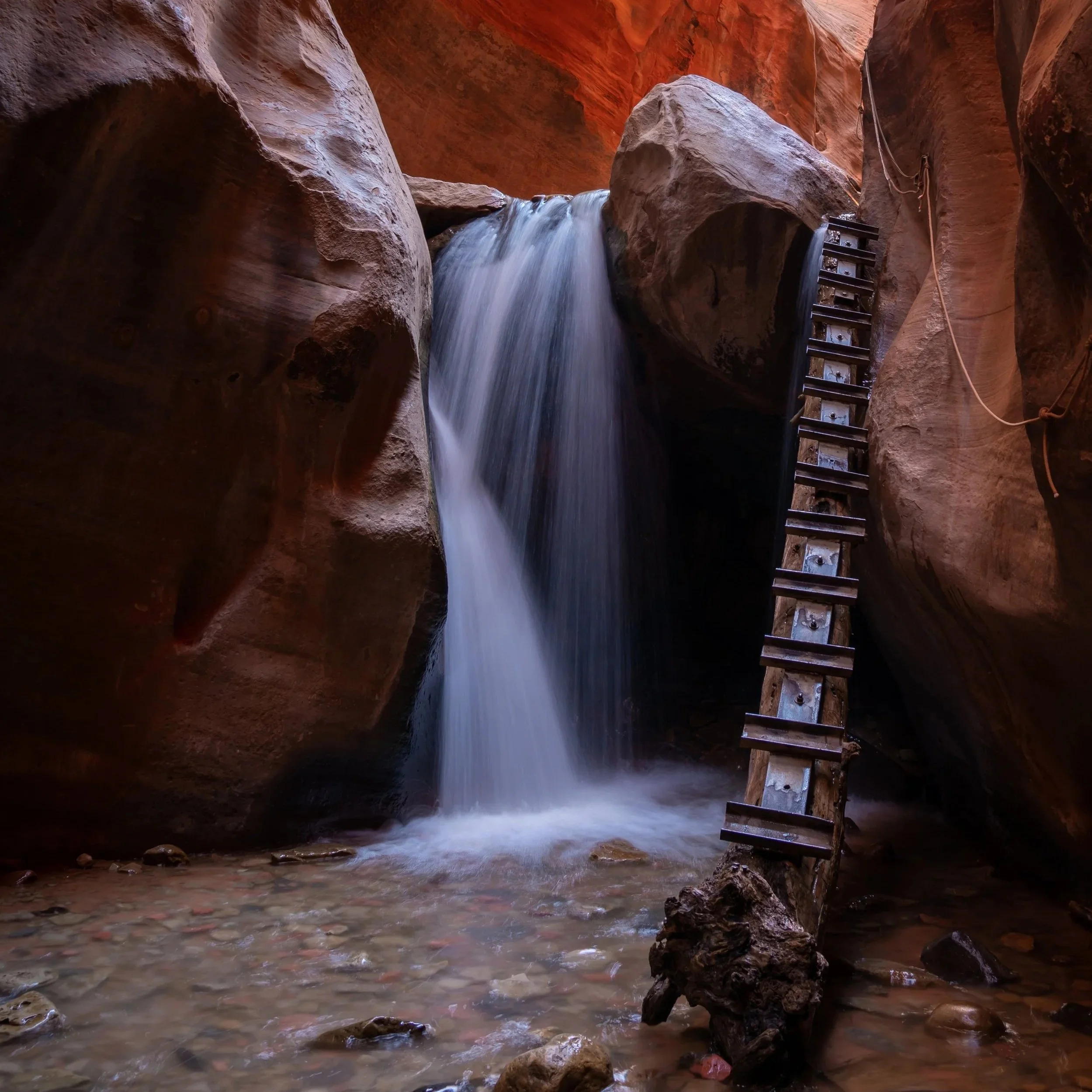
Once you reach the descent, it’s only a few hundred feet down the ridge until you’re at the bottom of the gulch. In my opinion, the descent is not terrible by any means, meaning almost any physically fit person should be able to climb down, granted that there is some kind of rope or webbing. It’s hard to say whether there will be rope/ webbing there to help you or not, but it can be necessary for your safety. We came prepared but didn’t actually need one because there was already some in place.
Finally, once at the bottom of the Gulch, turn left to hike toward the Amphitheater and the famous Jacob Hamblin Arch only a short distance ahead.
Hiking in Coyote Gulch
Once at the bottom of Coyote Gulch, you can essentially set up camp wherever you see fit.
Personally, I wanted to camp beneath the Amphitheater, which is exactly what the photo above is showing. That set up wasn’t just for the picture.
Camping aside, there are generally four main natural features that encompass the highlights of Coyote Gulch.
Going from west to east, or upstream to down, they include the Jacob Hamblin Arch, the Amphitheater, the Coyote Natural Bridge, and the Cliff Arch, located furthest downstream toward the Escalante River. That said, the Escalante River beyond the Cliff Arch is the topic of a future adventure.
In any case, Coyote Natural Bridge is no more than a 25-minute hike downstream from the Amphitheater, and the Cliff Arch is roughly another 25-30 minutes past that, depending on your pace.
5 Things to Know Before Hiking the Water Tank Trail (Coyote Gulch)
Permits are required to hike in Coyote Gulch. That said, backcountry permits are free and can be obtained at the visitor center in Escalante, or you can self-fill one out at the trailhead.
Come prepared with adownloaded satellite map of the route, as there is no cell phone service anywhere within the Grand Staircase. I especially emphasize this because you definitely don’t want to get lost, like I described above.
All solid human waste is required to be packed out of Coyote Gulch, meaning it’s illegal to leave it or bury it inside the gulch. To add to this, Coyote Gulch is very clean and the hike is only 2 miles (3.2 km) from the Jacob Hamblin Arch to the trailhead, so I ask that you please do your part and come prepared with the wag bags linked below.
Know that during certain weeks in the summer, deer flies can become a problem in Coyote Gulch.
From my experience in late June, I think I just missed the majority of them hatching, but I was already starting to notice a few. However, I highly recommend carrying the cheap bug net linked below, since you never know how bad it may be during the warmer times of the year.
Unless you have a recent trail report, bring your own 1 in. webbing for the steepest part of the descent down into Coyote Gulch. While I don’t think it’s completely necessary for all groups, it certainly helps, and it would certainly be disappointing if not bringing one was the reason you had to turn around.
Arizona


Utah