Hiking the Middle Taylor Creek Trail in Zion National Park
Distance: 5.2 miles / 8.4 km
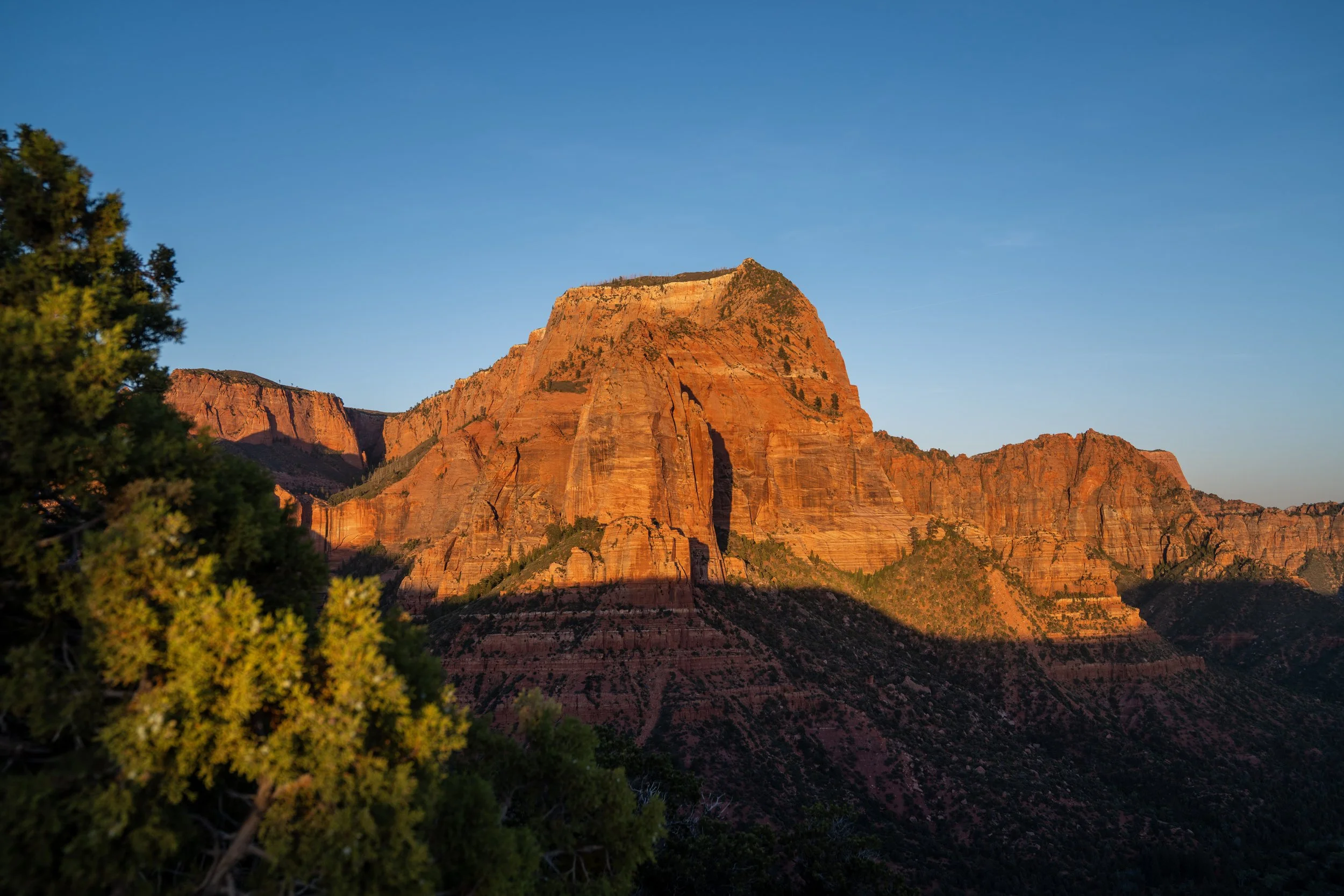
The Middle Taylor Creek Trail, also called the Taylor Creek Trail, in Zion National Park is a beautiful out-and-back day hike up a narrow canyon that leads hikers past numerous historic cabins to a unique alcove known as the Double Arch Alcove!
The reason the Taylor Creek Trail is more commonly called the Middle Taylor Creek Trail is that it is just one of three separate day hikes up the three forks that make up Taylor Creek, and it is the only one of the three that is actually maintained by the National Park Service.
This is exactly why the Middle Taylor Creek Trail is one of the more popular day hikes in Zion’s Kolob Canyon District, especially considering the Taylor Creek Trailhead serves both the North and Middle Taylor Creek Trails.
Middle Taylor Creek Trailhead Parking
Parking for the Middle Taylor Creek Trailhead is located in a large parking lot directly off Kolob Canyons Road.
The Middle Taylor Creek Trail is the first trailhead when driving up the road from the Kolob Canyons Visitor Center, and since it is often considered to be the second-best day hike in the Kolob Canyons behind the Timber Creek Overlook Trail up the road, the trailhead can be busy at times, particularly on holidays and weekends.
Google Maps Directions: Middle Taylor Creek Trailhead
Hiking Checklist - Zion
Here is a complete list of must-have things that you will want for any hike in Zion National Park.
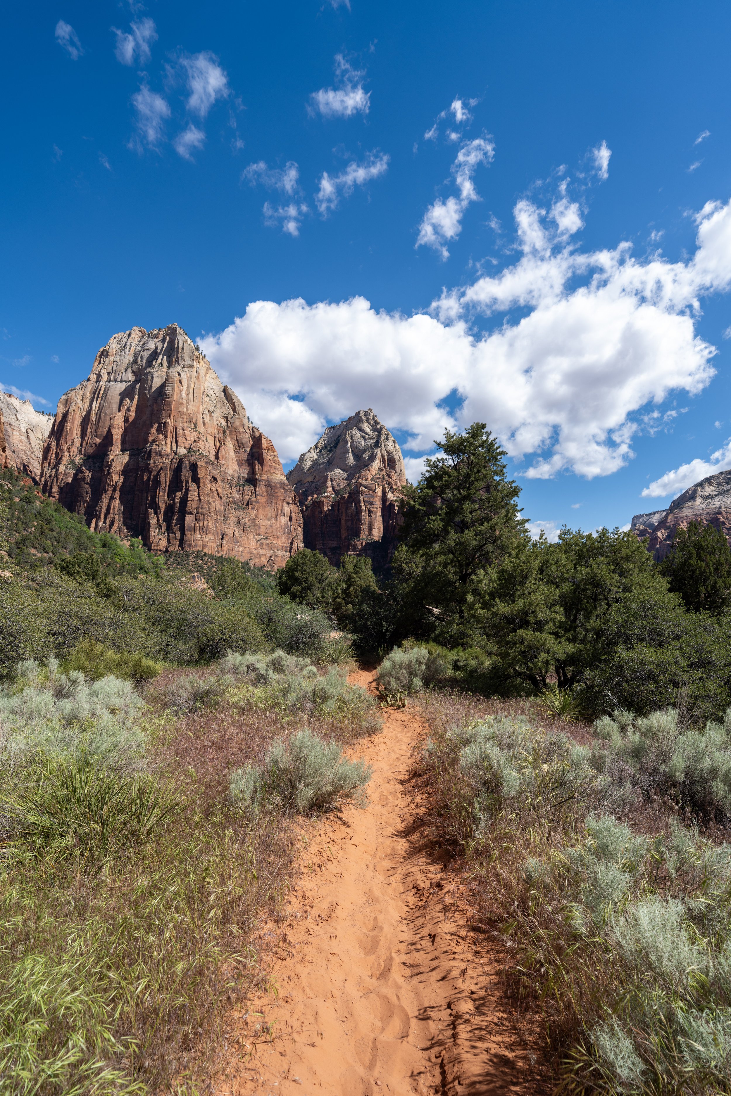
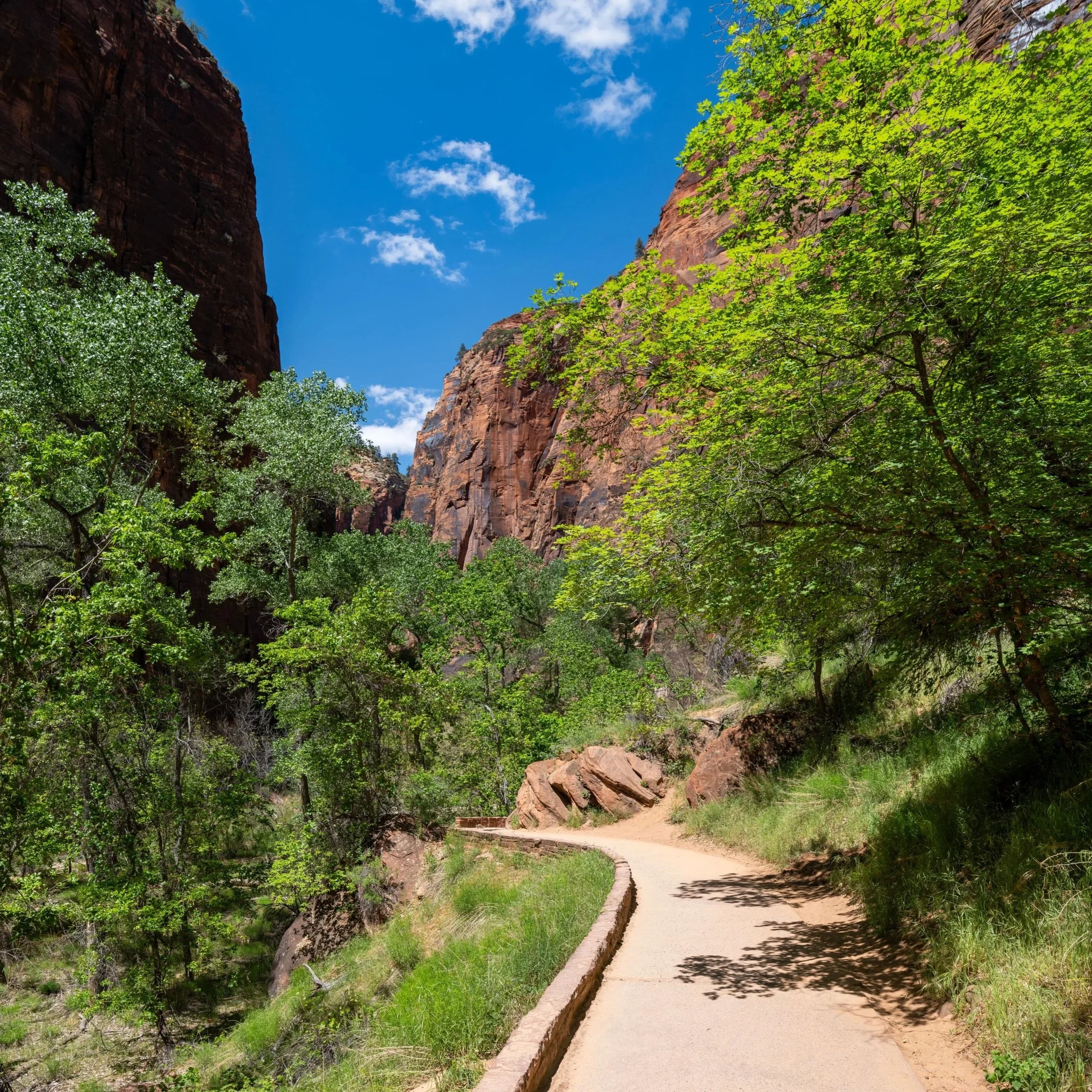
Hiking the Middle Taylor Creek Trail
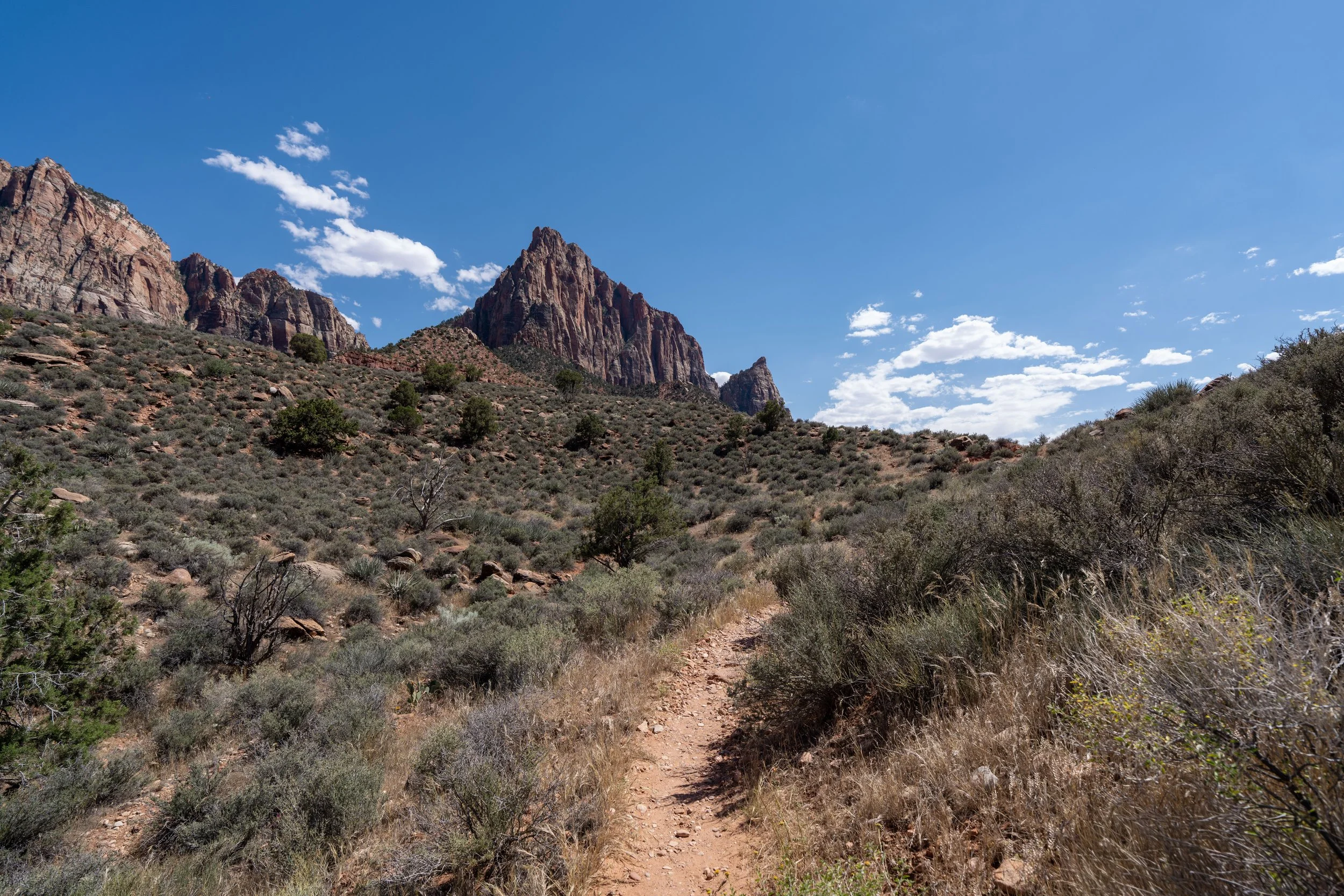
The Middle Taylor Creek Trail begins high above Taylor Creek, and as a result, the very beginning of the hike is a bit steep as it drops down to the wash over the first 0.1 miles (0.2 km).
This is the bottom of the initial steep descent, and it’s where the Middle Taylor Creek Trail starts paralleling Taylor Creek before it becomes Middle Taylor Creek near the Zion Wilderness Boundary.
This is where Taylor Creek starts paralleling the trail for the first time.
Taylor Creek
At roughly 0.25 miles (0.4 km), the Taylor Creek Trail crosses Taylor Creek for the first and only time on the entire hike, as the creek splits and all subsequent crossings leading up the canyon are across Middle Taylor Creek.
Zion Wilderness Boundary
Almost immediately after the first creek crossing, the Middle Taylor Creek Trail crosses the Zion Wilderness Boundary—the same place where both South and Middle Taylor Creek come together.
That said, the South Taylor Creek Trail does not branch away here like the North Taylor Creek Trail farther up the canyon. Rather, the South Taylor Creek Trail has a completely separate trailhead that begins at the hairpin turn off Kolob Canyons Road on the drive to the Timber Creek Overlook.
Middle Taylor Creek
This is the first time the trail crosses Middle Taylor Creek, but it is the second creek crossing since beginning the hike.
For those who want to try to keep count, there are 44 creek crossings on the hike to the Double Arch Alcove.
That said, keeping an accurate count can be very challenging as the Middle Taylor Creek Trail approaches the Double Arch Alcove, as many areas of the trail parallel the creek, follow the creek bed but do not cross over, or switch back and forth from side to side rapidly.
Therefore, my best count of 44 may be slightly different from yours. Also, note that the photos in this article do not show every quick crossing farthest up the canyon.
This is the sixth creek crossing since beginning the hike.
If all these photos show nothing else, I hope it’s obvious how exposed this and all forks up Taylor Creek truly are!
This is why I highly recommend hiking in a hooded sun shirt to stay safe, as the 5.2-mile (8.4 km) roundtrip hike inevitably involves a lot of time spent in the sun!
This is the 11th creek crossing.
That said, the count might seem like it’s moving slow early on, but the crossings only get closer and closer together, especially after Fife Cabin.
Immediately after the 11th crossing, the Middle Taylor Creek Trail drops down to the creek, but it does not cross over to the right side.
This is one of many areas that can make counting confusing.
Since the prior section did not cross, this is the 12th creek crossing on the Middle Taylor Creek Trail.
This is the 13th and final creek crossing before Larson Cabin!
Larson Cabin
After roughly 1.1 miles (1.8 km), the Middle Taylor Creek Trail passes the first of two historic cabins on the hike up to the Double Arch Alcove.
From here, the Taylor Creek Trail continues to the right, but the cabin is just off the trail to the left, which is why it is sometimes easier to spot on the return hike.
Who is the Larson Cabin Named After?
Larson Cabin is named after Gustive O. Larson, often also written as Gustav Larson or "Gus" in trail guides.
He built this cabin around 1930 near the confluence of the North and Middle Forks of Taylor Creek, using white fir logs hauled by wagon from Cedar City.
Gus is said to have spent only a few summers in the cabin, from 1930 to 1933, while homesteading the Kolob area and raising pigs.
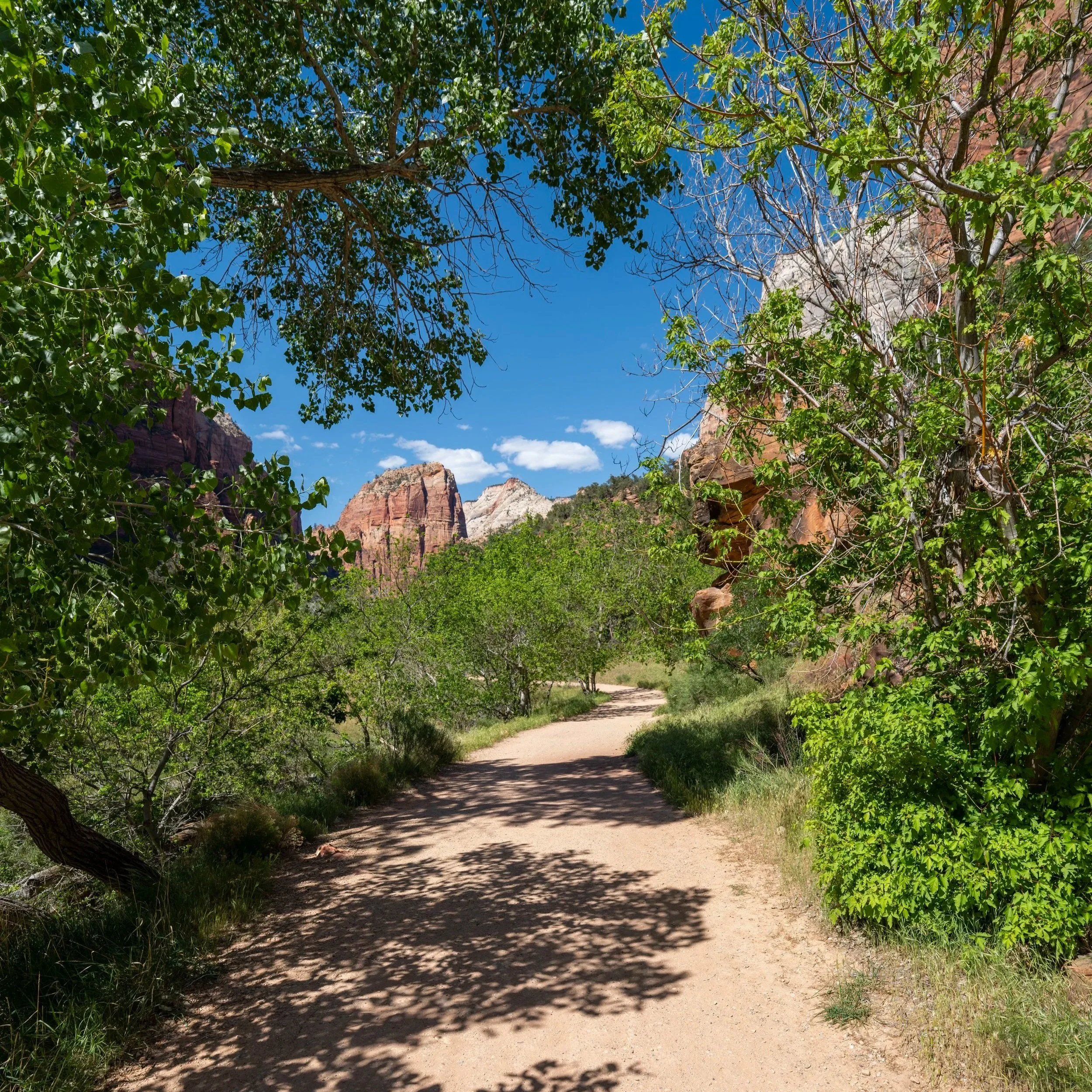
Middle Taylor Creek-North Taylor Creek Junction
Just a few steps after the 14th crossing near Larson Cabin, the Middle Taylor Creek Trail reaches the junction for the North Taylor Creek Trail.
This is the only time the Middle Taylor Creek Trail splits with another day hike.
That said, go right to continue up the maintained trail to the Double Arch Alcove, about 1.5 miles (2.4 km) from this point.
This section between Larson Cabin and Fife Cabin measures almost exactly 1.0 mile (1.6 km).
This is the 19th crossing since leaving the Taylor Creek Trailhead, and it’s where the canyon walls start to close in more noticeably on either side.
One of the most important things to note about the Middle Taylor Creek Trail is that the water level in the creek is highly dependent on seasonal snowmelt or the off chance of a flash flood.
What this really means is that, in the spring, it’s much harder to keep your feet dry, especially in the sections farther up the canyon where the trail and the creek are essentially one.
I mention this because carrying trekking poles certainly isn’t the worst idea on the Middle Taylor Creek Trail, and that’s not because the trail has a lot of elevation change, other than the initial 0.1 miles (0.2 km) down to the first wash.
This is the 25th creek crossing, and by this point, keeping track only becomes more and more ambiguous as the Middle Taylor Creek Trail starts to follow portions of the creek.
As the canyon walls close in, there is a bit more shade compared to the beginning sections, but even still, the Taylor Creek Trail is somewhat of a longer adventure in the Kolob Canyons District, which is why I recommend coming prepared with a good sun shirt.
This is the 28th creek crossing, and as previously mentioned, they only become harder to track, as this section closely follows the creek before crossing over.
This is not one that I personally count as one of the 44 crossings, as the trail remains on the right side of the creek when it climbs back up.
This is the 30th creek crossing.
This is the 31st crossing, and it’s a nice mental checkpoint, as Fife Cabin is located just up the hill from where this photo was taken!
Fife Cabin
At roughly 2.1 miles (3.4 km), or almost exactly 1.0 mile (1.6 km) past Larson Cabin, the Middle Taylor Creek Trail reaches Fife Cabin, the second and final historic cabin on the hike up to Double Arch Alcove.
Who is the Fife Cabin Named After?
Fife Cabin is named after Arthur Fife, who built this second homestead cabin along the Middle Fork of Taylor Creek in 1930.
Like Larson Cabin, it was built from white fir logs and sits as one of the old homestead cabins tucked into Kolob Canyons before this area became part of Zion National Park in July 1956.
After Fife Cabin, there is only 0.5 miles (0.8 km) left until the end of the maintained trail at the Double Arch Alcove.
When the Middle Taylor Creek Trail drops back down to the creek immediately after Fife Cabin, the trail heads directly up the creek before climbing out again.
This is one of the many sections where it can be challenging to keep your shoes dry during spring snowmelt and, again, another reason why carrying trekking poles can be helpful on the hike to the Double Arch Alcove.
Since the prior section did not cross Middle Taylor Creek, I count this as the 32nd creek crossing.
The Middle Taylor Creek Trail makes a hard right turn up the creek at this section, before crossing over to the other side.
This is creek crossing 34, but 34, 35, and 36 are all back-to-back, making them a bit challenging to keep an accurate count.
This is creek crossing 36.
This is the 40th creek crossing, meaning there are only four to go!
This is the 43rd and the second-to-last creek crossing before the Double Arch Alcove!
This is 44th and final creek crossing, and it’s a nice sign that the Double Arch Alcove is just around the corner!
Middle Taylor Creek-Double Arch Alcove Junction
Just before the Double Arch Alcove, the Middle Taylor Creek Trail splits, with both a path that leads down to the creek and a path toward the alcove.
At this final junction, go right to reach the beautiful, towering alcove just steps ahead!
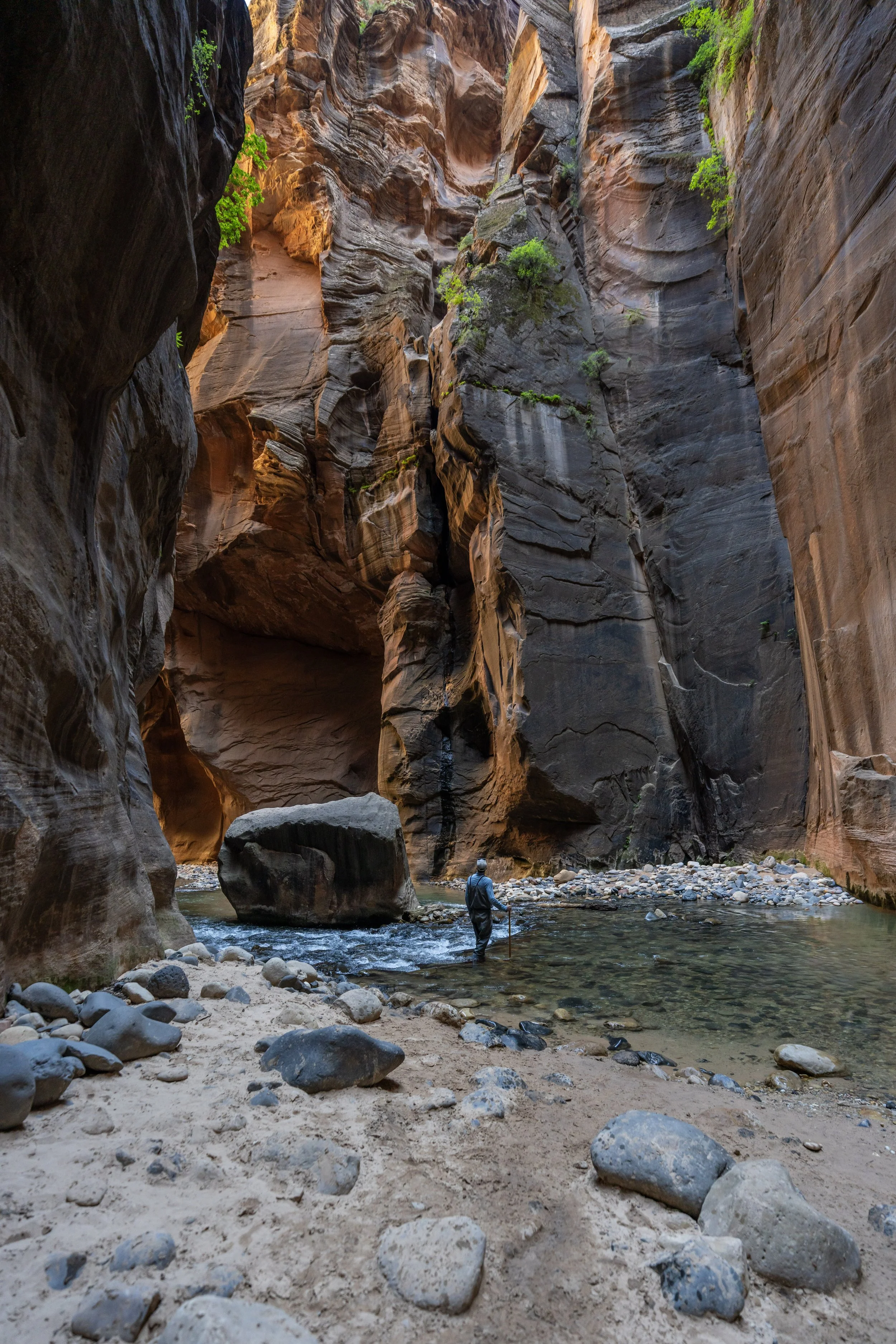
Double Arch Alcove
This is the Double Arch Alcove and the end of the Middle Taylor Creek Trail.
That said, the name "Double Arch" is a bit deceiving when thinking about other places, like the Double Arch Trail in Arches National Park, as the Double Arch Alcove has no real arches.
Instead, its name comes from the fact that this alcove at the end of the trail is really just one of two, as there is another stacked directly on top of this lower one!
For the most adventurous type of hiker, I will mention that there is a way to scramble up to the upper alcove, but that off-trail route is beyond the purposes of this article.
Middle Taylor Creek-Double Arch Alcove Junction
If you’re interested in hiking farther up Middle Taylor Creek toward the hidden Middle Taylor Creek Falls, go left at the junction just before the alcove to hike down to the wash.
Once in the wash, simply follow the creek bed up Middle Taylor Creek until it reaches an overgrown area and abruptly ends, about 0.2 miles (0.3 km) ahead.
After the Double Arch Alcove, Middle Taylor Creek is a bit more rugged, as the National Park Service does not maintain any trails farther up the canyon. However, I wouldn’t necessarily consider it a difficult hike.
It’s just not managed like the rest of the trail.
This is where Middle Taylor Creek reaches the overgrown area just before the waterfall.
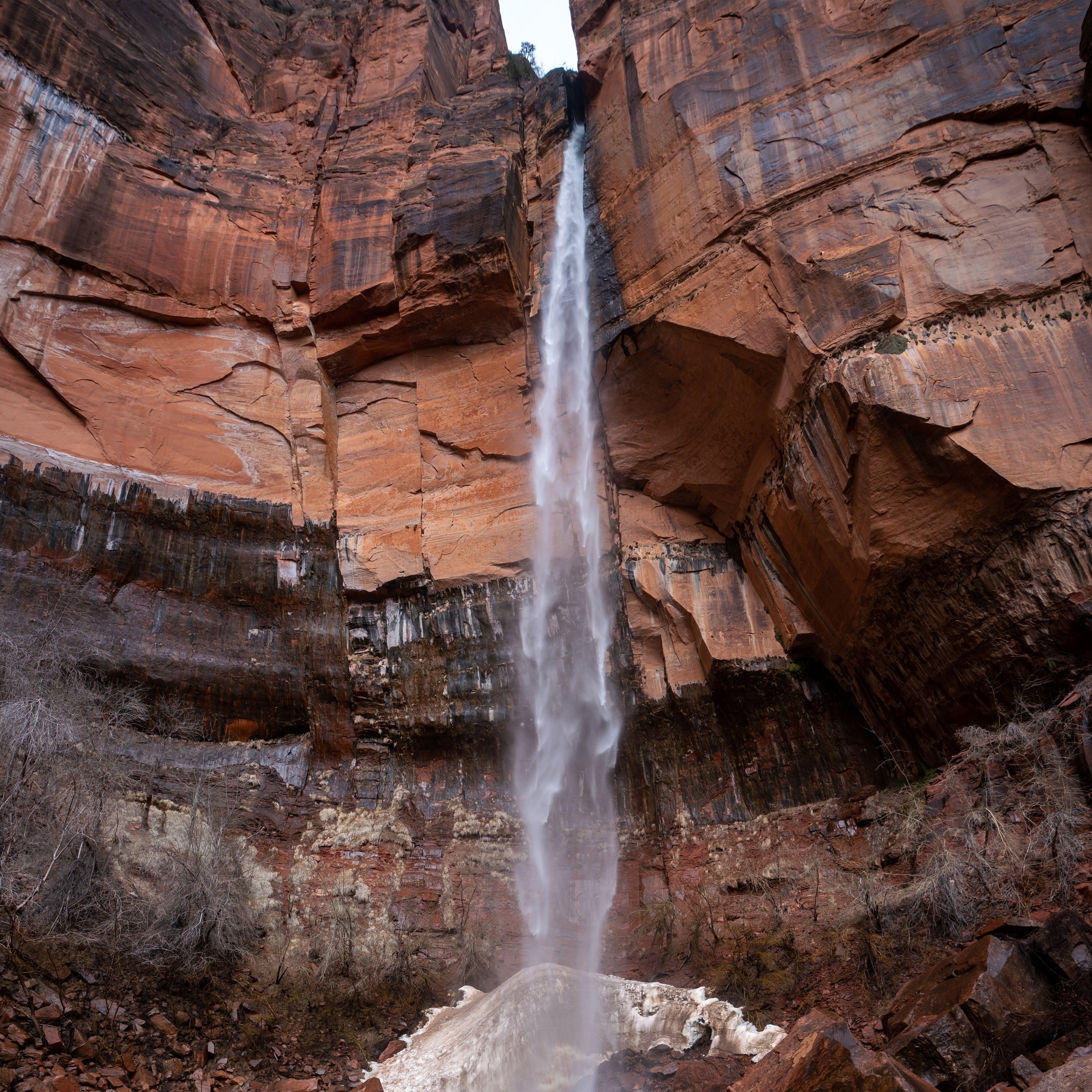
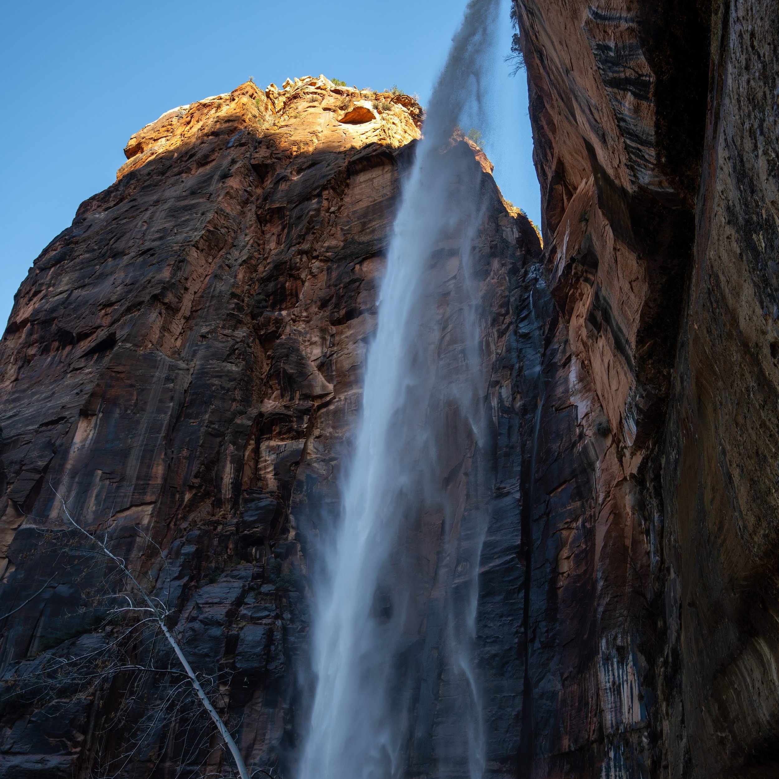
Middle Taylor Creek Falls
This is where Middle Taylor Creek reaches Middle Taylor Creek Falls, a typically dry waterfall, as it is dependent on either rain or snowmelt.
On a different note, Middle Taylor Creek 'in a way' comes to an abrupt end just to the right of where these photos were taken. However, I have no doubts that the most adventurous hikers out there could find a way to scramble up the hillside to continue higher.
Personally speaking, I’ve always looked at continuing higher and thought it doesn’t seem worth it unless the creek is flowing, as there may be a much bigger waterfall up near the park boundary.
I guess that’s an adventure for another day!