Hiking the East Mesa Trail to Observation Point in Zion National Park
Distance: 7.0 miles / 11.3 km
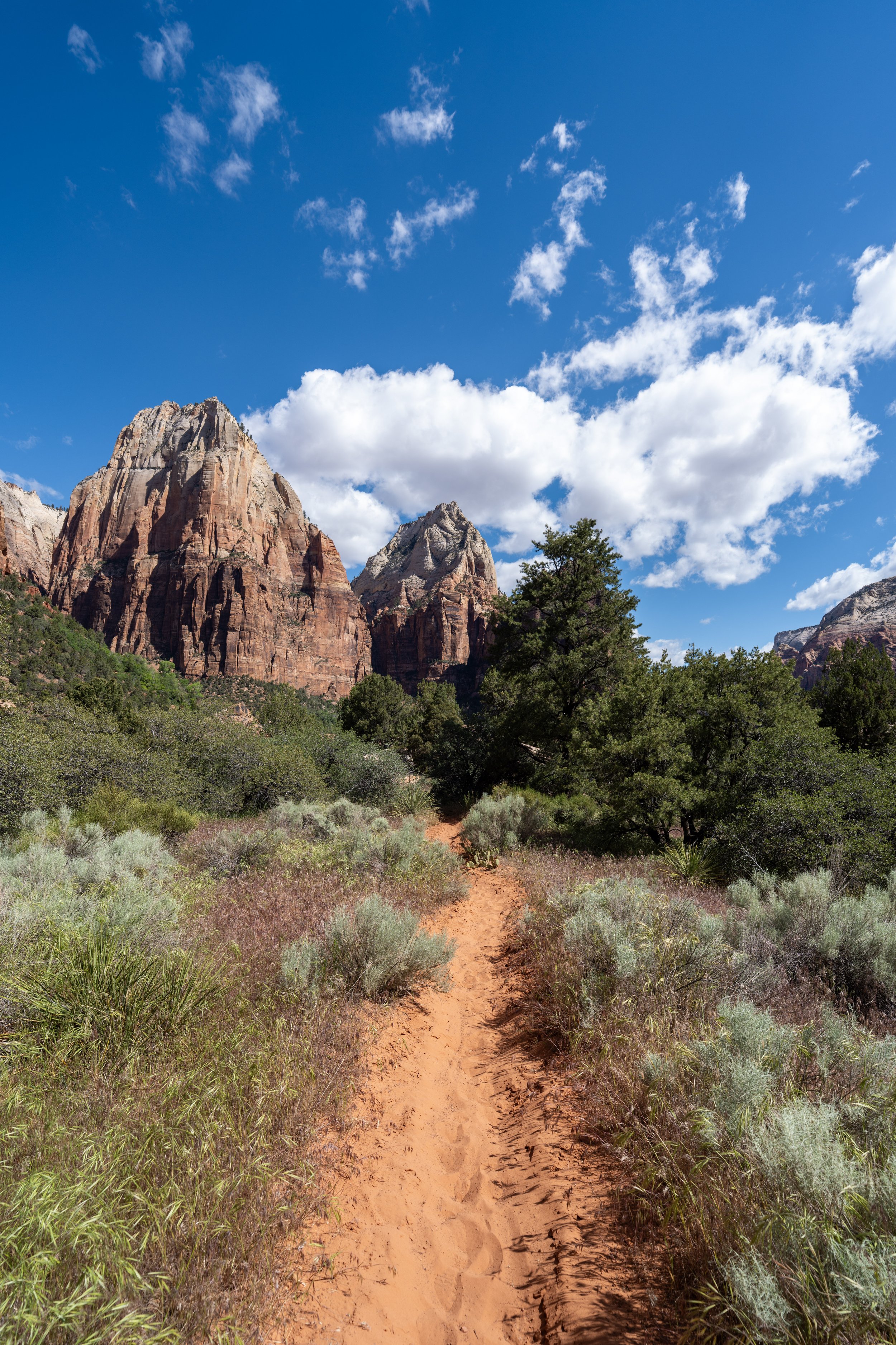
The East Mesa Trail to Observation Point in Zion National Park is an easy, mostly flat day hike on the outskirts of Zion Canyon that leads to what is arguably the best view of the canyon from above!
That said, I personally think the Observation Point Trail is one of the best hidden gems in Zion National Park, and I say this for a number of reasons!
The first is that the East Mesa sees far fewer visitors compared to countless other day hikes down in Zion Canyon, like the Canyon Overlook Trail and the Angels Landing Trail.
The second reason is that the Observation Point Trail truly is an easy day hike, as there is very little elevation change, which is to say the total 7.0-mile (11.3 km) roundtrip distance is a bad indicator in terms of estimating the trail’s difficulty. It’s easier than it may seem!
Finally, and perhaps most importantly, when southern Utah is at its hottest during the mid-summer months, the East Mesa Trail can be a break from the heat. This is because the drive up from the bottom of Zion Canyon climbs several thousand feet to the East Mesa Trailhead, which often makes the temperatures a bit cooler than in areas closer to the Virgin River!
Driving to the East Mesa Trail
The East Mesa Trail to Observation Point is open year-round, but the dirt road past the Ponderosa Ranch Cabins is not plowed during the winter months.
This means that, if you truly wanted to hike Observation Point in the winter, you would need to snowshoe or ski an extra 2.8 miles (4.5 km) each way.
However, during the late spring, summer, and early fall, most two-wheel-drive vehicles should be able to make the drive to the East Mesa Trailhead, as long as the road is dry.
This also means that during spring snowmelt and after heavy monsoonal storms, driving to the East Mesa Trailhead may not be possible for low-clearance, two-wheel-drive vehicles because of the mud.
East Mesa Trailhead Parking
Access to the East Mesa Trail is made possible through a public-private partnership with the Zion Ponderosa Ranch. This arrangement means that the parking area for the trailhead is located entirely on private property.
That said, parking at the East Mesa Trailhead is very limited, and due to the trail’s increased popularity, there are often not enough parking spaces during the busiest times of the year—not to mention, parking is only allowed in designated stalls.
Zion Ponderosa Ranch has many signs stating that illegally parked vehicles will be towed, and whether that is true or not, I recommend arriving early in the day to avoid the hassle.
Google Maps Directions: East Mesa Trailhead
Hiking Checklist - Zion
Here is a complete list of must-have things that you will want for any hike in Zion National Park.
Hiking the Observation Point Trail
The Observation Point Trail begins just outside the Zion National Park boundary, but after a few steps, the trail passes through the boundary, beginning the hike on public land.
Zion National Park Boundary
This is where the East Mesa Trail passes through a chicane fence and into Zion National Park!
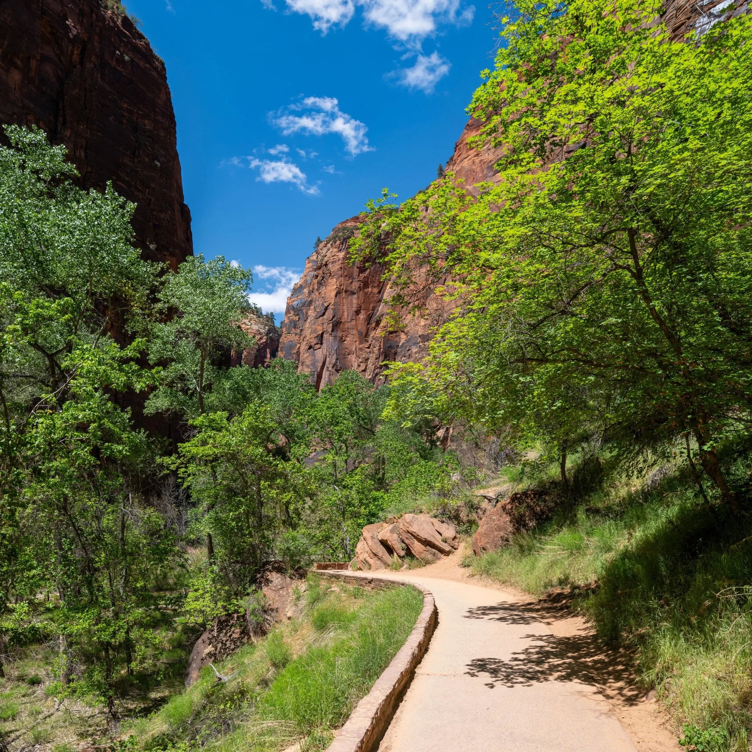
Once inside the park boundary, the East Mesa Trail begins a long, mostly flat hike through a mixed Juniper–Piñon–Ponderosa Pine forest to Observation Point at the end.
For the next 3.4 miles (5.5 km), there aren’t many views along the East Mesa Trail, but what makes the hike such a hidden gem is how easy it truly is!
I say this because it really is just one long walk, and it isn’t until the East Mesa Trail starts to get close to the Observation Point Trail that there’s any notable elevation change.
For any visitors looking for a great place to trail run in Zion National Park, the East Mesa Trail to Observation Point is one of the best hikes to consider, as the wide path, mild elevation changes, and stunning view at the end truly set it apart from countless other adventures on all sides of the park!
If trail running is something you’re considering, I recommend using the shoes I have linked below, as they work well for both hiking and trail running on all the best adventures across Zion and the greater area!
The photos in this article were taken very early in the morning, but something to note is that, throughout much of the day, the East Mesa Trail is a very exposed hike in Zion National Park.
The shadows only look long in these photos because they were taken so early, but Ponderosa Pines and Juniper trees are notorious for their lack of shade across the West!
This is why I want to highlight the need to come prepared for a long day in the sun, and it’s why I highly recommend wearing a hooded sun shirt to stay safe!
This is where the East Mesa Trail makes the hard turn to the northwest that can be seen on a trail map.
This is where the East Mesa Trail turns back to the west as it follows the easiest and flattest path out to Observation Point.
It’s worth noting that the East Mesa Trail has become more and more popular over the years!
I mention this because remember a time when I might be the only car parked at the East Mesa Trailhead on any given day of the week, but due to increased social media exposure and the closure of the East Rim Trail out of Zion Canyon, the East Mesa Trail to Observation Point is now more popular than ever—a trend that I suspect will only continue as the years go on!
Again, I hope these photos show how little shade there truly is once the sun comes up and over the trees on the East Mesa Trail.
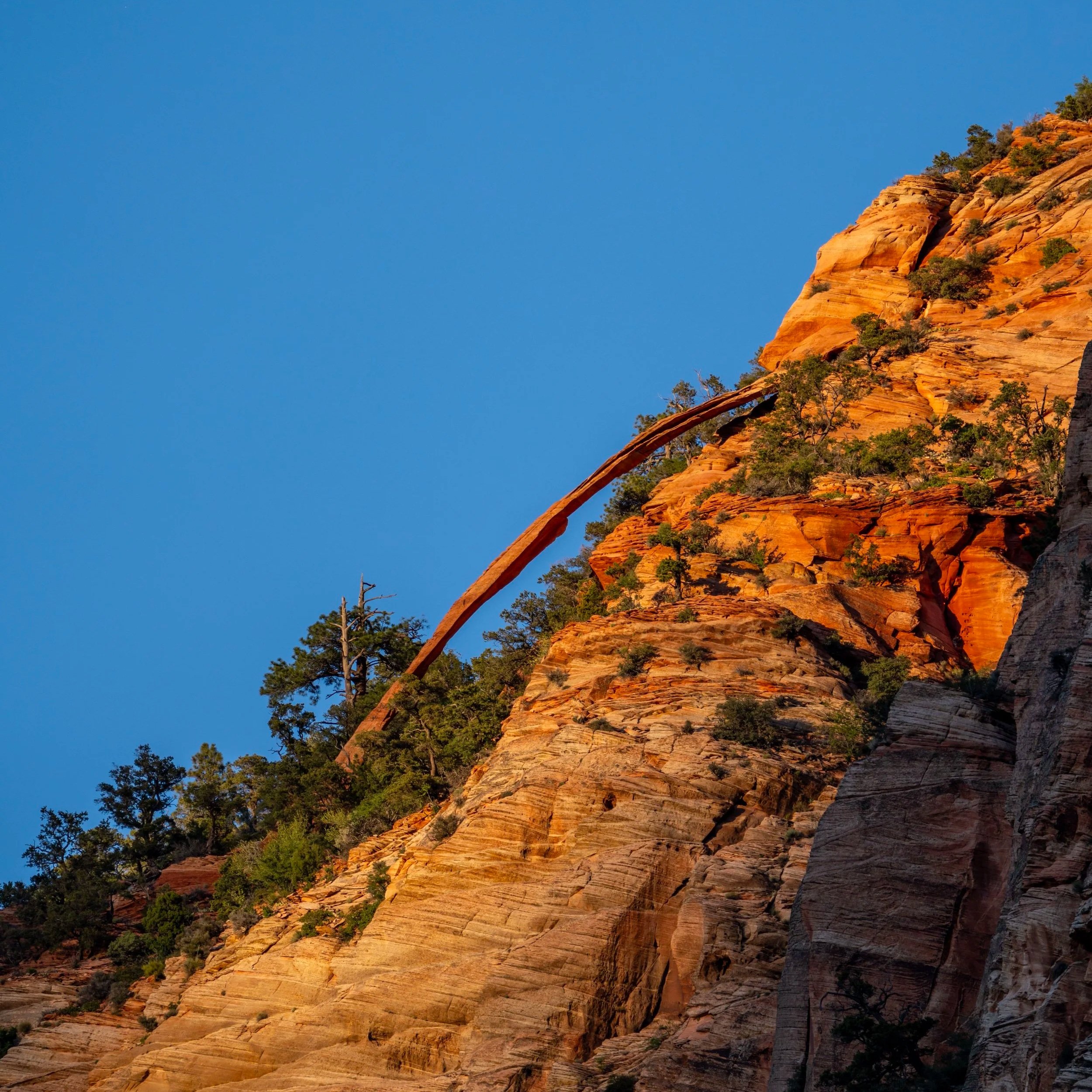
Pinus edulis, more commonly known as Piñon Pines, is beloved in Zion and across the Mountain West because this drought-tolerant evergreen produces edible pine nuts, though you have to be hiking at the right time of year to enjoy them!
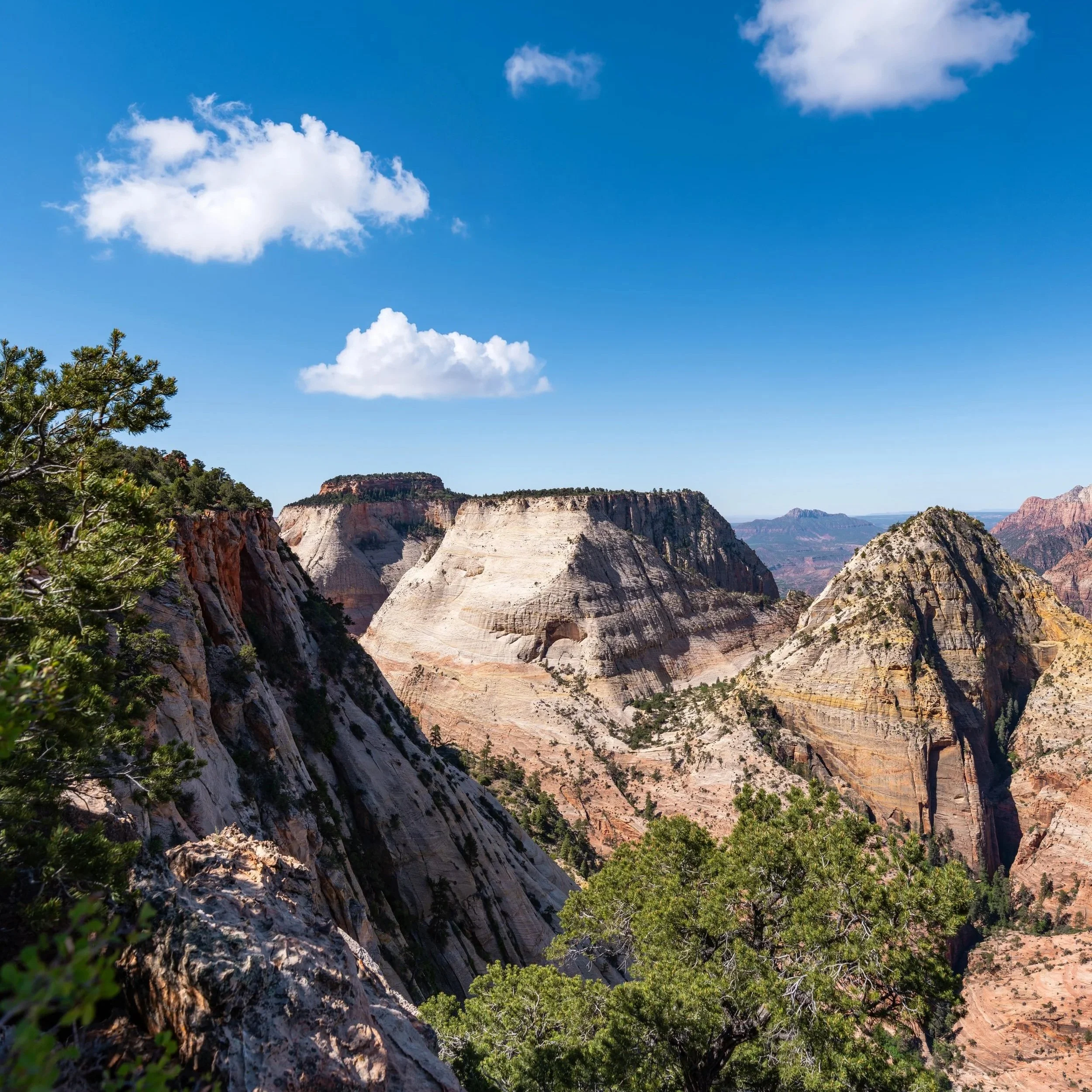
This south-facing viewpoint is a nice sign that the only notable elevation change on the East Mesa Trail is about to begin.
That said, the hill that begins here and ends at the Observation Point junction is very minor, as it only descends about 320 ft. (98 m) over the next 0.7 miles (1.1 km).
This, again, is why I believe the Observation Point Trail is one of the best trail-running adventures in Zion National Park!
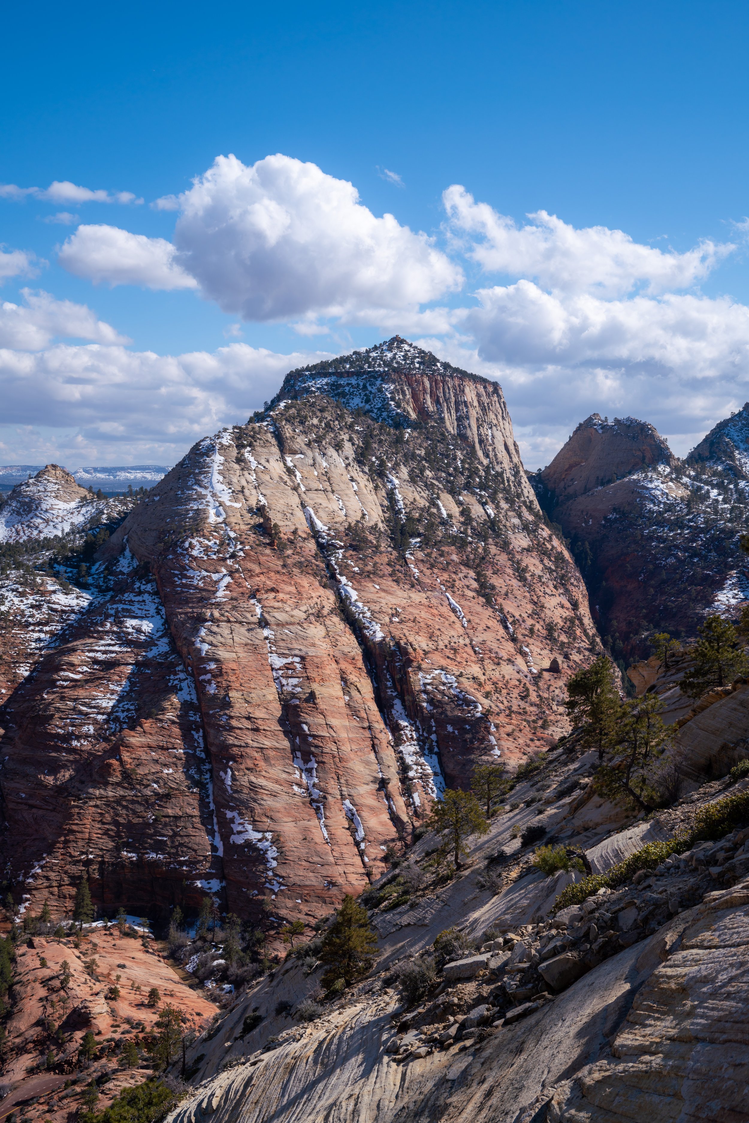
This is where Observation Point can clearly be seen from the East Mesa Trail for the first time!
This is the one and only switchback on the East Mesa Trail, and it’s a nice sign that the true Observation Point Trail is just around the corner!
Observation Point-East Mesa Junction
With about 0.4 miles (0.6 km) to go, the East Mesa Trail reaches the first—and only—junction on the hike to Observation Point.
Once here, go right at this split to begin hiking the true Observation Point Trail, as the path to the left is where the East Mesa Trail continues on its way toward the East Rim Trail and the switchbacks above Weeping Rock—a section of trail that has been closed for many years because of rockfall below Cable Mountain.
Will the Switchbacks up the East Rim Trail ever Reopen?
The switchbacks on the East Rim Trail between the Weeping Rock Trailhead and the East Mesa Trail have been closed since a major 2019 rockfall event that severely damaged the trail beneath Cable Mountain.
According to the National Park Service, a massive slab of Navajo Sandstone broke away from the cliffs above Weeping Rock in August 2019, burying large portions of the East Rim Trail system under thousands of tons of debris.
Additional rockfall occurred again in November 2023 near Weeping Rock, reinforcing concerns about long-term instability in this area of Zion Canyon. The NPS continues to describe the lower East Rim Trail connection into Zion Canyon as a "long-term closure."
Today, visitors can still enjoy the Weeping Rock Trail, which reopened in September 2025 after repairs from the 2023 rockfall event. However, this portion of the East Rim Trail between Zion Canyon and the Observation Point Trail remains closed, with no current plans to reopen it in the future.
Observation Point Trail
The Observation Point Trail between the East Mesa Trail and the viewpoint at the end is no different from the rest of the hike up to this point, except that it levels out significantly and remains much flatter way for the rest of the hike to the viewpoint.
This is where the Observation Point Trail turns sharply to the south, which is a nice sign that the viewpoint is just a short distance ahead!
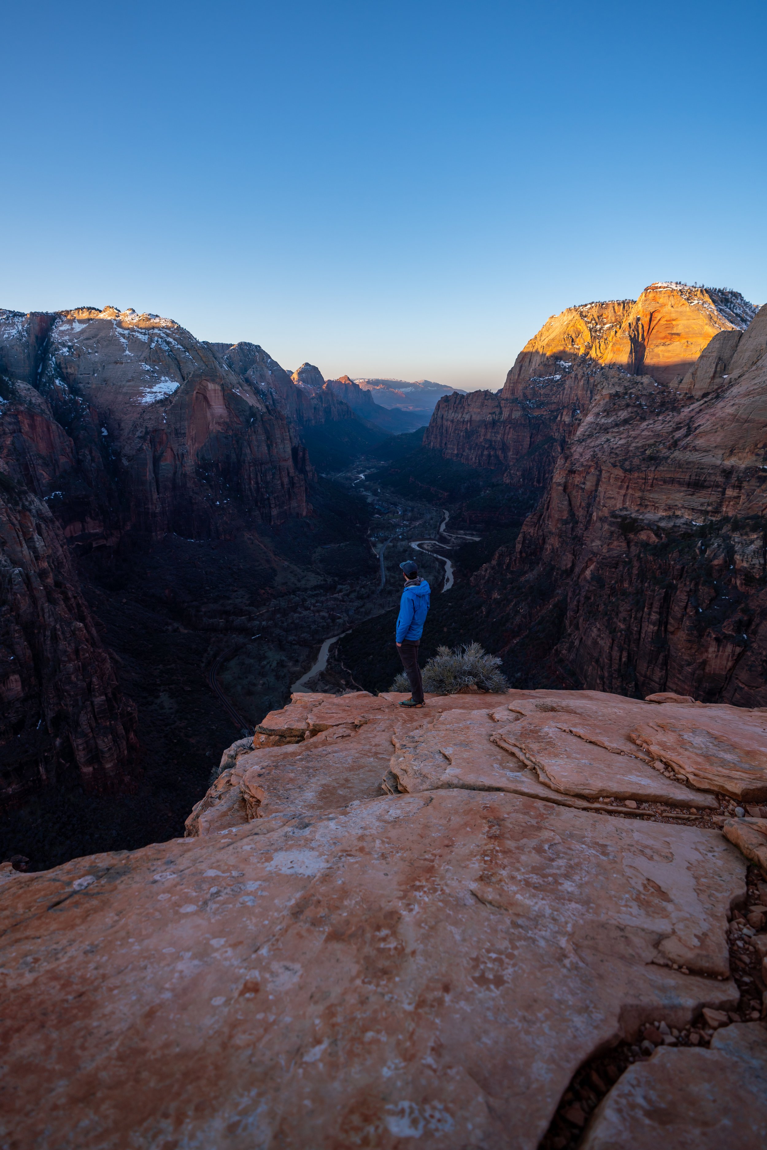
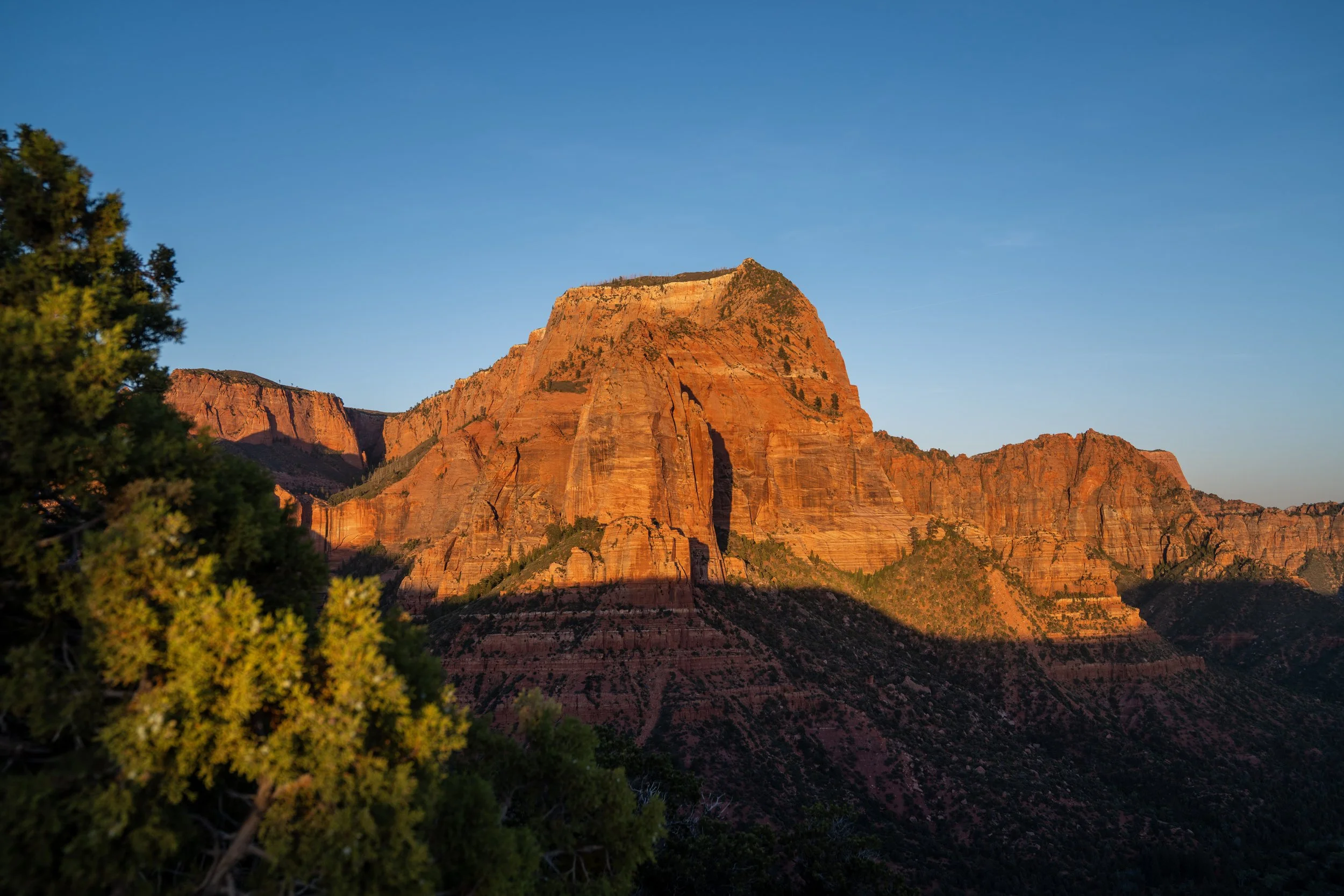
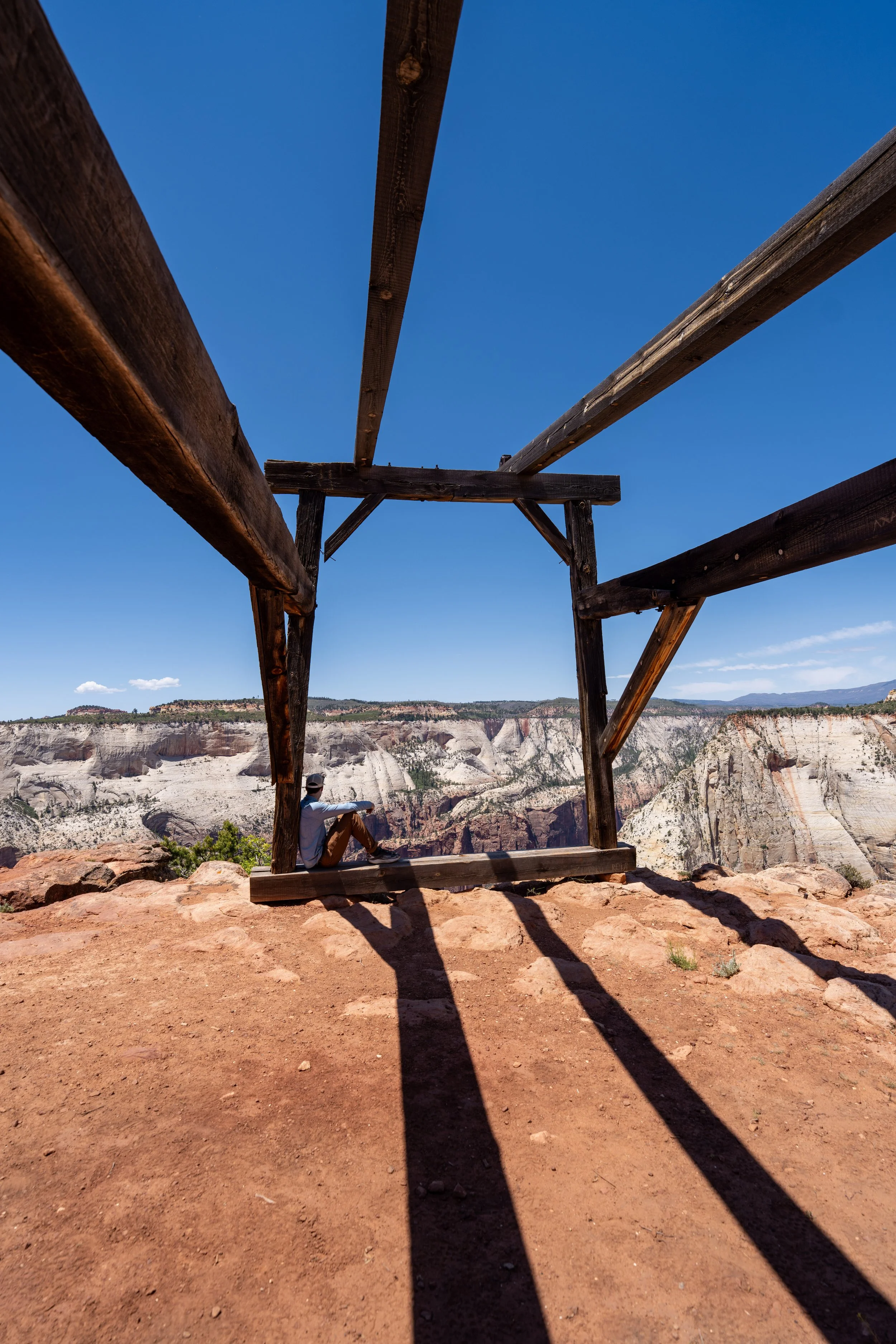
Observation Point
This viewpoint is the end of the very short 0.4-mile (0.6 km) Observation Point Trail, which, according to the National Park Service, stands at 6,512 ft. (1,985 m), or about 2,150 ft. (655 m) above Zion Canyon Scenic Drive below!
From the end of the Observation Point Trail, the most notable landmark by far is Angels Landing—the ridgeline in the canyon on the right-hand side of the photo below.
However, other prominent landmarks include Cable Mountain, The Great White Throne, and even views extending as far as Springdale, straight down the canyon.
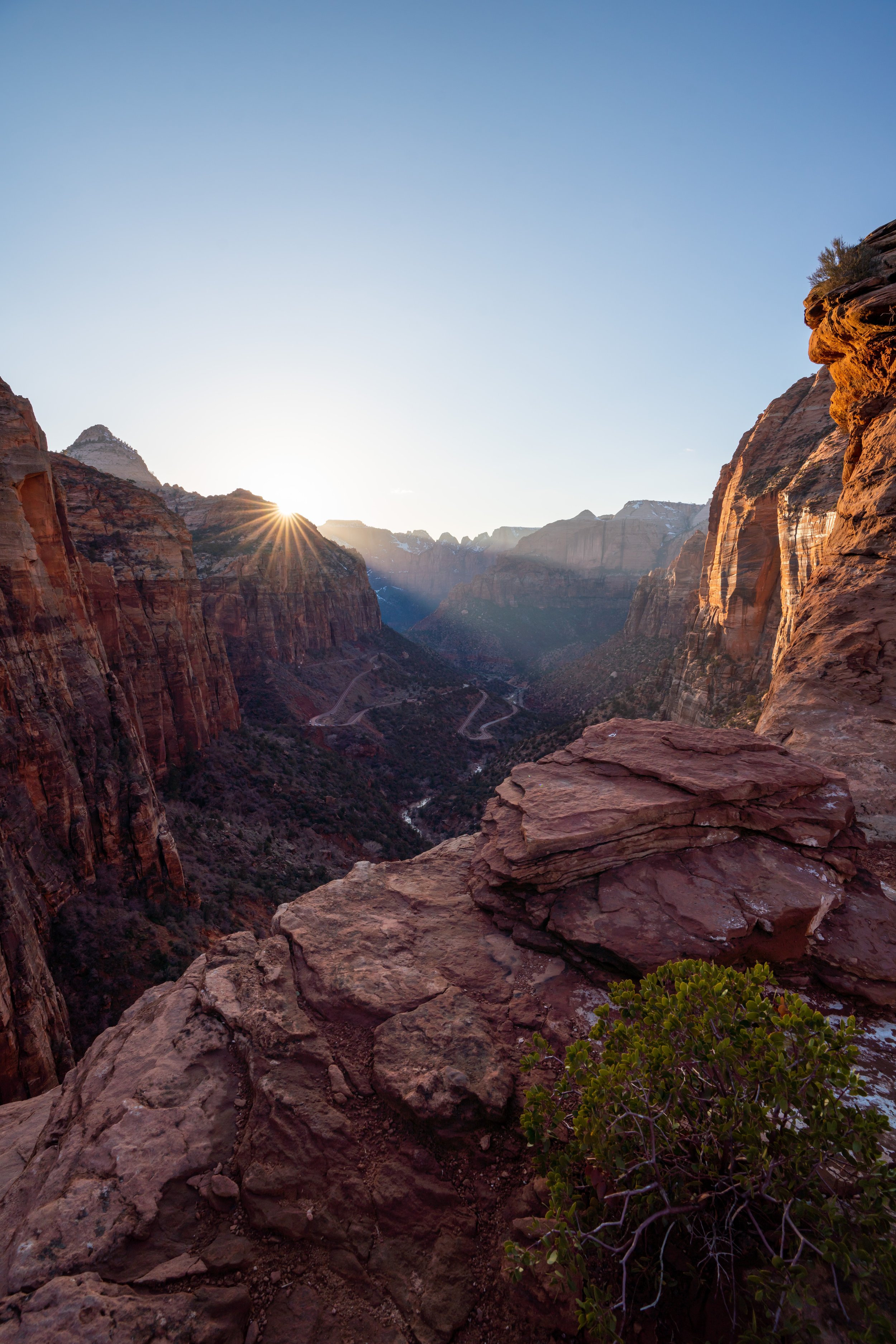
Is Observation Point Better for Sunrise or Sunset?
The answer is truly both, as Observation Point is one of the best all-around sunrise and sunset hikes in Zion National Park!
I say this because, just like Angels Landing is predominantly best as a sunrise hike, the same peaks looking down Zion Canyon light up early in the morning as the sun rises from the back side of Observation Point.
However, what sets Observation Point apart from Angels Landing is that it is simply higher.
This is why I don’t personally see Angels Landing as a great sunset hike, but Observation Point, on the other hand, has a better, more direct view of the sunset and the colors changing at golden hour!