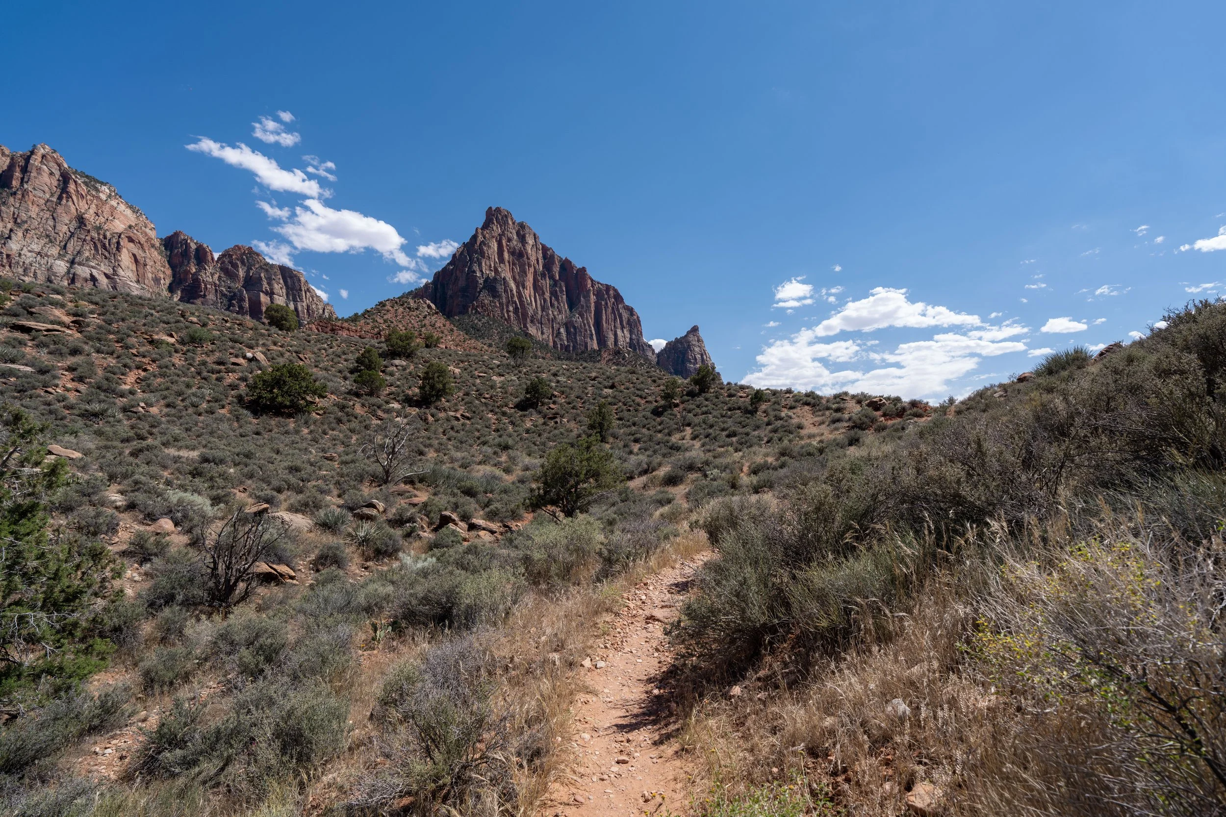
Hiking the Cable Mountain Trail in Zion National Park
Distance (RT via Stave Spring): 8.0 miles / 12.9 km
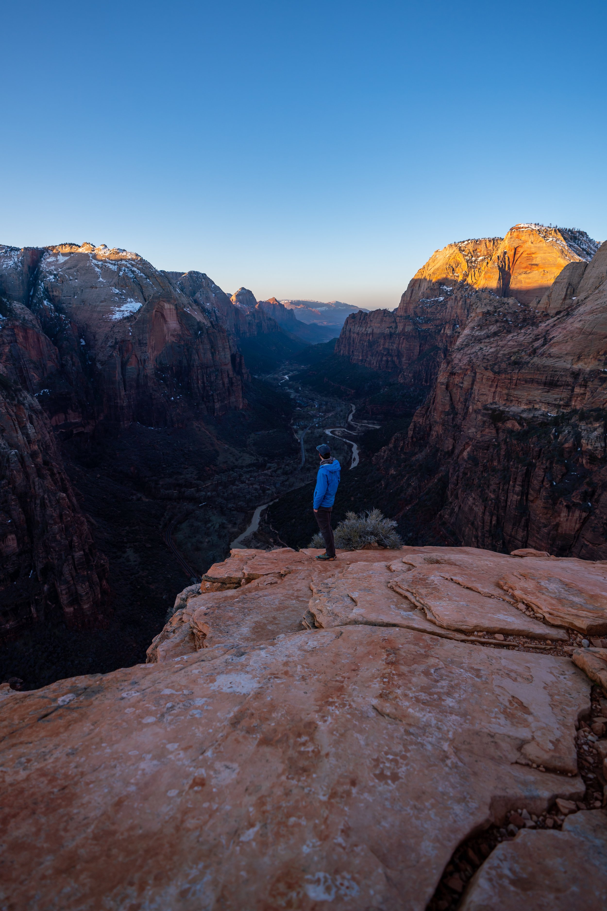
The Cable Mountain Trail in Zion National Park is a beautiful and unique day hike atop Zion’s East Mesa that leads to what is arguably the most underrated viewpoint on either the north or south rim above Zion Canyon!
By this, I mean that the very edge of Cable Mountain is one of the most dramatic cliffs, not just in Zion, but across the National Park system—and yet, so few visitors venture outside of the canyon to see this one-of-a-kind hidden gem!
That said, the Cable Mountain Trail isn’t a particularly challenging hike, but the viewpoint at Cable Mountain itself is certainly just as beautiful as it is dangerous. This is something that I discuss in more detail at the end of this article, and while I truly believe Cable Mountain is a must-see for first-time visitors, it also must be visited with caution, as many hikers have unfortunately lost their lives from fatal falls on trails across Zion National Park.
Cable Mountain Trailhead Parking
Parking for the Cable Mountain Trail via the Stave Spring Trailhead is located at the very end of West Pine Street atop Zion’s East Mesa.
The Stave Spring Trailhead and the East Mesa Trailhead are both located near the Zion Ponderosa Ranch, but the routes to the two trailheads split after passing through the ranch on the way to the park boundary.
Google Maps Directions: Cable Mountain Trailhead (Stave Spring)
Hiking Checklist - Zion
Here is a complete list of must-have things that you will want for any hike in Zion National Park.
Hiking the Cable Mountain Trail
The Cable Mountain Trail can either begin at the East Rim Trailhead near the East Entrance or here at the Stave Spring Trailhead up on the East Mesa.
That said, I highly recommend starting the hike from the Stave Spring Trailhead because it is much shorter and more direct—not to mention, there is a lot less elevation to gain when starting on the East Mesa near the Zion Ponderosa Ranch.
Zion Wilderness Boundary
Immediately after starting the hike to Cable Mountain, the Stave Spring Trail crosses the Zion Wilderness Boundary.
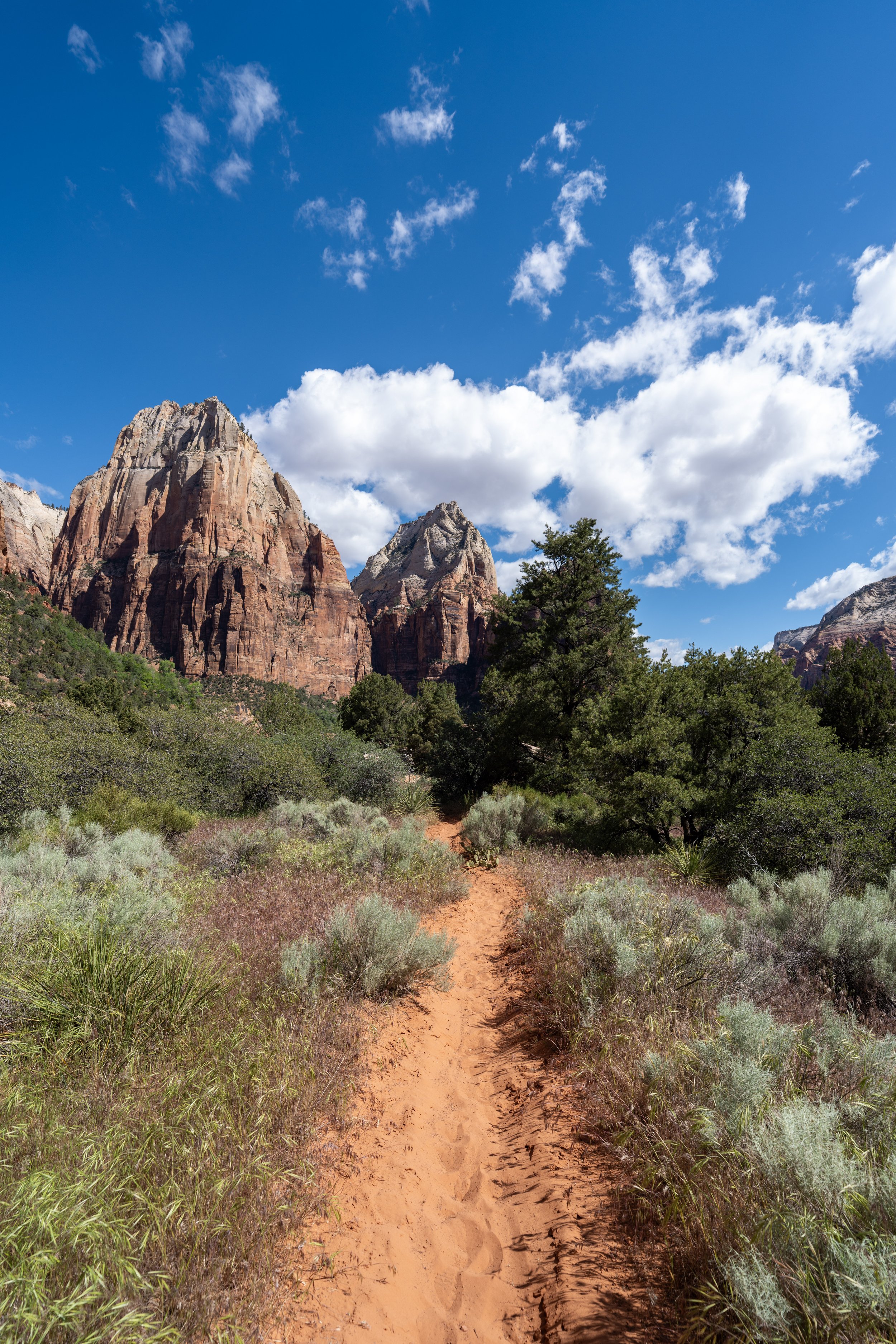
The beginning of the Stave Spring Trail starts out in beautiful Ponderosa forest, but it doesn’t take long for the trees to start to thin, which is why the entire 4.0-mile (6.4 km) Cable Mountain Trail is inevitably a long day in the sun.
This is something I will highlight again and again throughout this article, as a hooded sun shirt is truly essential for the long hike—especially if you plan to combine the Cable Mountain Trail with the Deertrap Mountain Trail.
This is where the Stave Spring Trail leaves the overstory Ponderosa forest behind, which largely remains the case as the trail winds its way through a mixed Juniper–Piñon–Ponderosa Pine forest for the majority of the hike.
Stave Spring-East Rim Junction
After just 0.5 miles (0.8 km), the Stave Spring Trail comes to an end where it meets the East Rim Trail at this T-intersection, which leads both to the start of the Cable Mountain Trail to the south and the East Mesa Trail to Observation Point to the north.
At this split, go left to start hiking north on the East Rim Trail toward the start of the Deertrap Mountain Trail, about 0.3 miles (0.5 km) away from this point.
Early in the morning, this bluff on the left-hand side of the East Rim Trail, is one of the very few stretches on the hike to Cable Mountain with any significant shade, which is, again, why I strongly recommend hiking in a hooded sun shirt.
Deertrap Mountain-East Rim Junction
After 0.8 miles (1.3 km) since leaving the Stave Spring Trailhead, the hike to Cable Mountain reaches the start of the Deertrap Mountain Trail.
Once here, go right to begin hiking the Deertrap Mountain Trail toward both Cable and Deertrap Mountain.
However, if you are interested in seeing Stave Spring, the spring can be found just 0.1 miles (0.2 km) to the left, though I must warn that it’s not very impressive and should only be used as a water source in the event of an emergency.
Read My Separate Post: Deertrap Mountain Trail
After about 0.2 miles (0.3 km) since leaving the East Rim Trail, the Deertrap Mountain Trail passes the first of two junctions with the old Deertrap Mountain Trail, which was re-routed in 2011 to the current path we have today.
Since the change, I have hiked the old section between this point and the second junction near the Cable Mountain Trail, and while it was manageable when I last visited, I have to imagine it will only get more and more overgrown as the years go on.
This section between the East Rim Trail and the Cable Mountain Trail is roughly 1.4 miles (2.3 km), compared to only 1.2 miles (1.9 km) before the trail was re-routed in 2011.
These hills may look steep, but between the East Rim Trail and Cable Mountain Trail, the Deertrap Mountain Trail only climbs about 410 ft. (125 m), which is fairly easy over this distance and why I believe the elevation changes on the hike are quite negligible.
This is where the Deertrap Mountain Trail starts to turn south toward both the second historic junction and the Cable Mountain junction, shortly thereafter.
With about 0.1 miles (0.2 km) to go before the Cable Mountain Trail branches away, the Deertrap Mountain Trail passes the second junction, where the historic trail intersects with the current trail.
For most visitors unfamiliar with the 2011 rerouting project, it’s likely that the old route won’t even stand out, as the National Park Service has done a great job of hiding both junctions that connect with the current trail.
Cable Mountain-Deertrap Mountain Junction
Excluding the historic trail, this junction where the Deertrap Mountain Trail branches away to the south is the third and final time the Cable Mountain Trail splits with another route.
At this final junction, go right to begin the true Cable Mountain Trail toward the end of the hike and one of the best and most dramatic views of Zion Canyon from above!
Read My Separate Post: Deertrap Mountain Trail
This final stretch between the Deertrap Mountain Trail and the end of the hike above the Weeping Rock Trail is roughly 1.8 miles (2.9 km) each way, compared to 3.2 miles (5.1 km) each way to get to Deertrap Mountain.
This is why the Cable Mountain Trail is much more trafficked than Deertrap Mountain—though it still does not compare to East Mesa Trail and Observation Point, as the vast majority of visitors who make the drive up the East Mesa are not here for Stave Spring.
As I hope it’s obvious—and it’s why I continually say this—there is very little shade on the Cable Mountain Trail, which is not only a message to hike the trail in a hooded sun shirt but, frankly, to avoid the trail during the hottest midday hours during the summer months, especially considering how remote the far western end of the trail is in the event of an emergency.
The nice thing about the Cable Mountain Trail, compared to the Deertrap Mountain Trail, is that the vast majority of the hike is flat!
This is something that is mostly true about both trails, but on the Deertrap Mountain Trail, there is one quick up-and-downhill section that must be navigated to reach the viewpoint at the end.
However, the same cannot be said about the Cable Mountain Trail, as the 340 ft. (104 m) elevation difference between the third junction and the end of the trail is spread out over the entire 1.8-mile (2.9 km) distance, meaning it is hardly noticeable on both the hike to and from the viewpoint.
Since the Cable Mountain Trail is so flat, I personally believe it is one of the better places to trail run in Zion National Park, especially considering how uncrowded the trail is and how beautiful the views are once you reach the end!
If trail running is something you’re considering, I recommend using the shoes I have linked below, as they work well for both hiking and trail running on all the best adventures across Zion and the greater area!
This is where the very slight downhill that leads out to Cable Mountain begins, though it truly isn’t very noteworthy compared to the much steeper trails that climb up and out of Zion Canyon.
This sharp bend is a nice sign that there is only 0.5 miles (0.8 km) left until the end of the Cable Mountain Trail!
Immediately after the sharp bend, the Cable Mountain Trail descends the only section with any noticeable elevation change, but again, it really isn’t much to mention, which is why trail running the Cable Mountain Trail is such a great option to consider!
This is where the very short downhill section levels out.
Cable Mountain
This is the end of the 1.8-mile (2.9 km) Cable Mountain Trail, or 4.0 miles (6.4 km) from where the hike truly began, at the Stave Spring Trailhead.
Cable Mountain is named after the cable, or draw, that was used to transport lumber from the East Mesa to the floor of Zion Canyon.
The full story can be read on this small sign at the end of the Cable Mountain Trail, which is a very interesting read, as this cable played a critical role in constructing the Zion Canyon Lodge we all get to enjoy today!
Warning
The viewpoint at the very end of the Cable Mountain Trail is one of the most dramatic undercut cliffs in Zion National Park, comparable to only a few such cliffs, like the Diving Board Trail in Yosemite National Park.
I say this in the sense that a fall from the end of other trails, such as the Observation Point Trail, would very likely mean landing on a lower ledge below the main viewpoint.
However, there is no such ledge at the end of the Cable Mountain Trail, and a fall from the cliff would almost certainly mean falling all the way to the canyon floor. Even the same cannot be said about the adjacent viewpoint at the end of the Deertrap Mountain Trail.