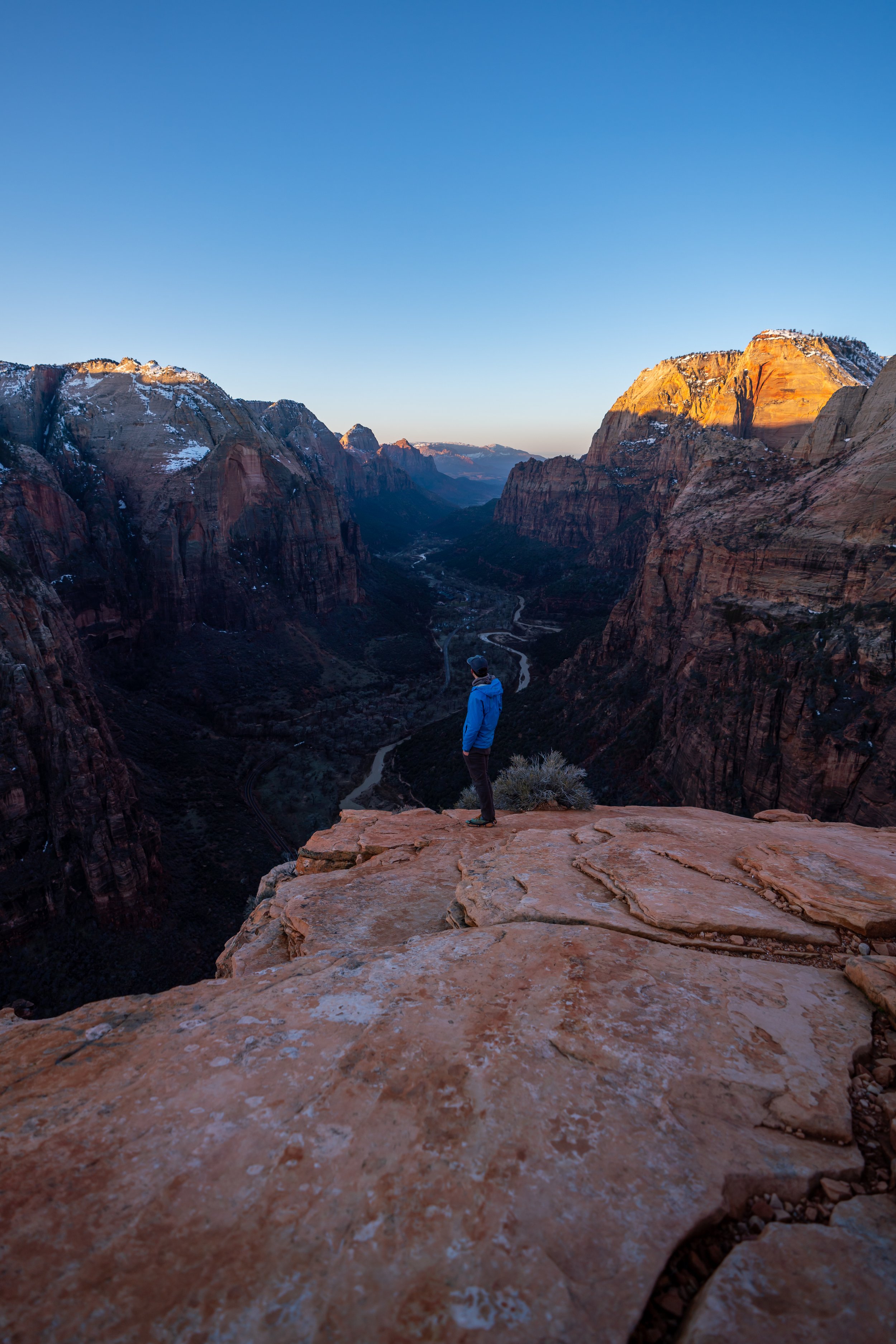
Hiking the Grapevine Trail to Left Fork Falls in Zion National Park
Distance: 2.4 miles / 3.9 km
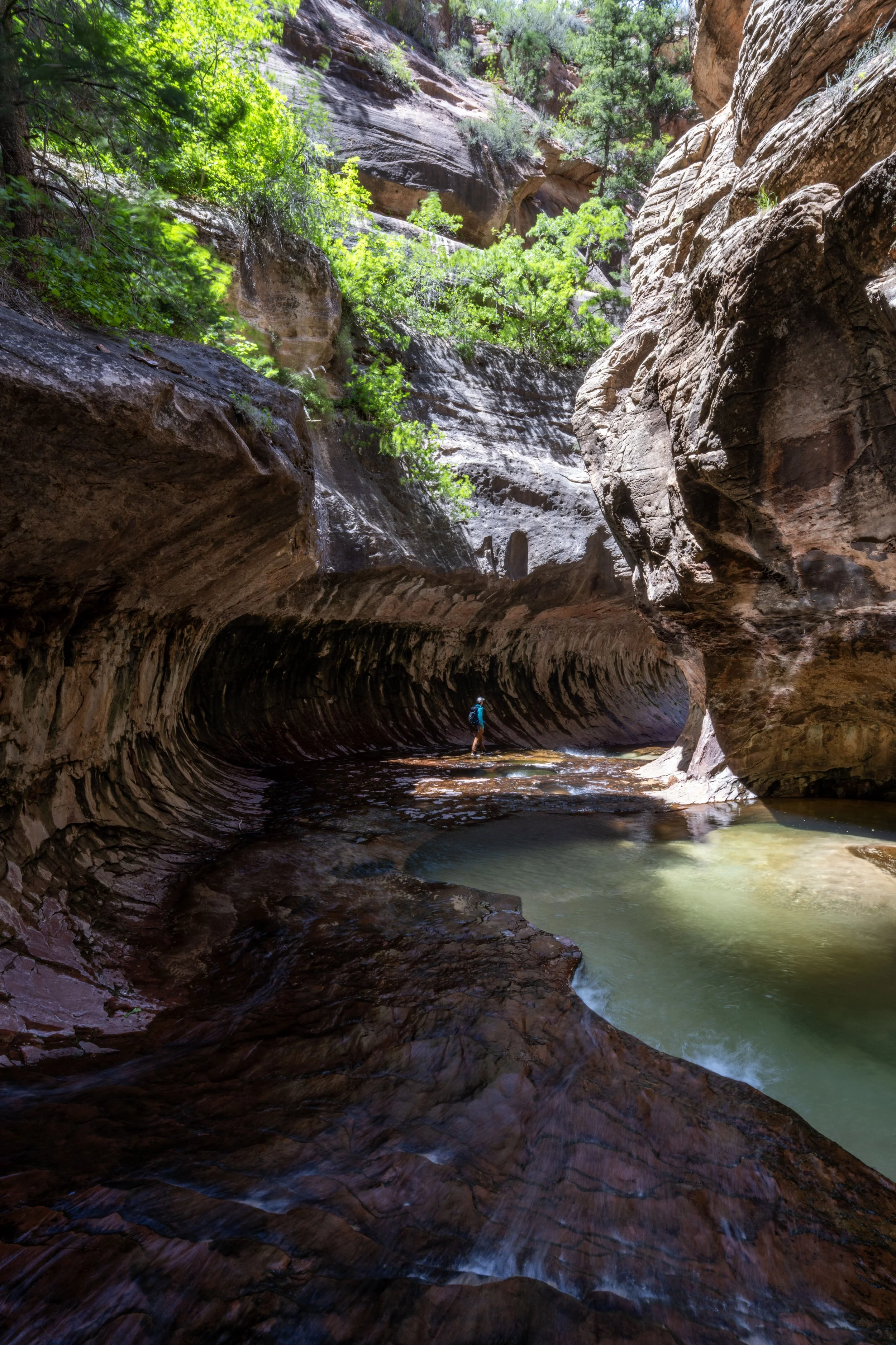
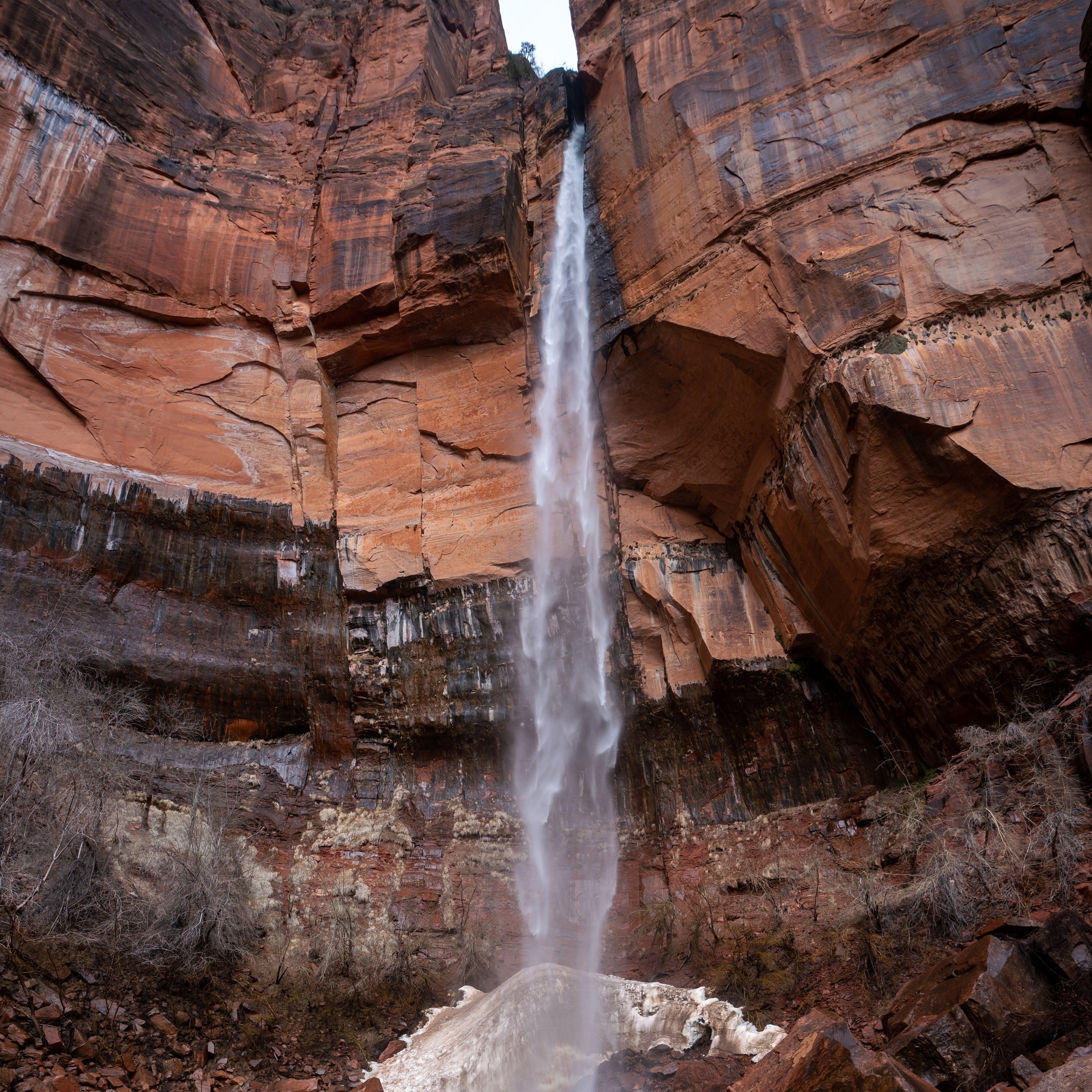
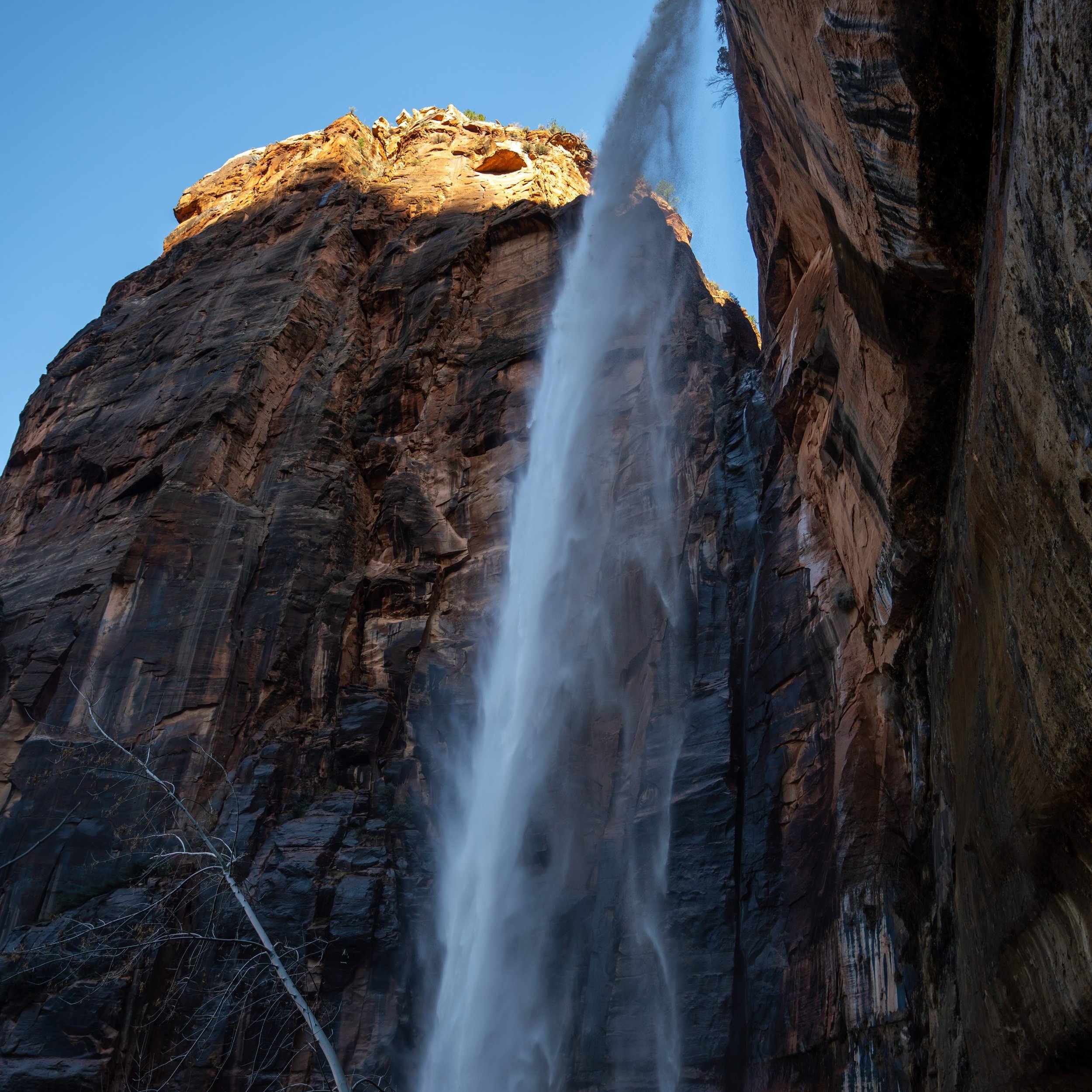
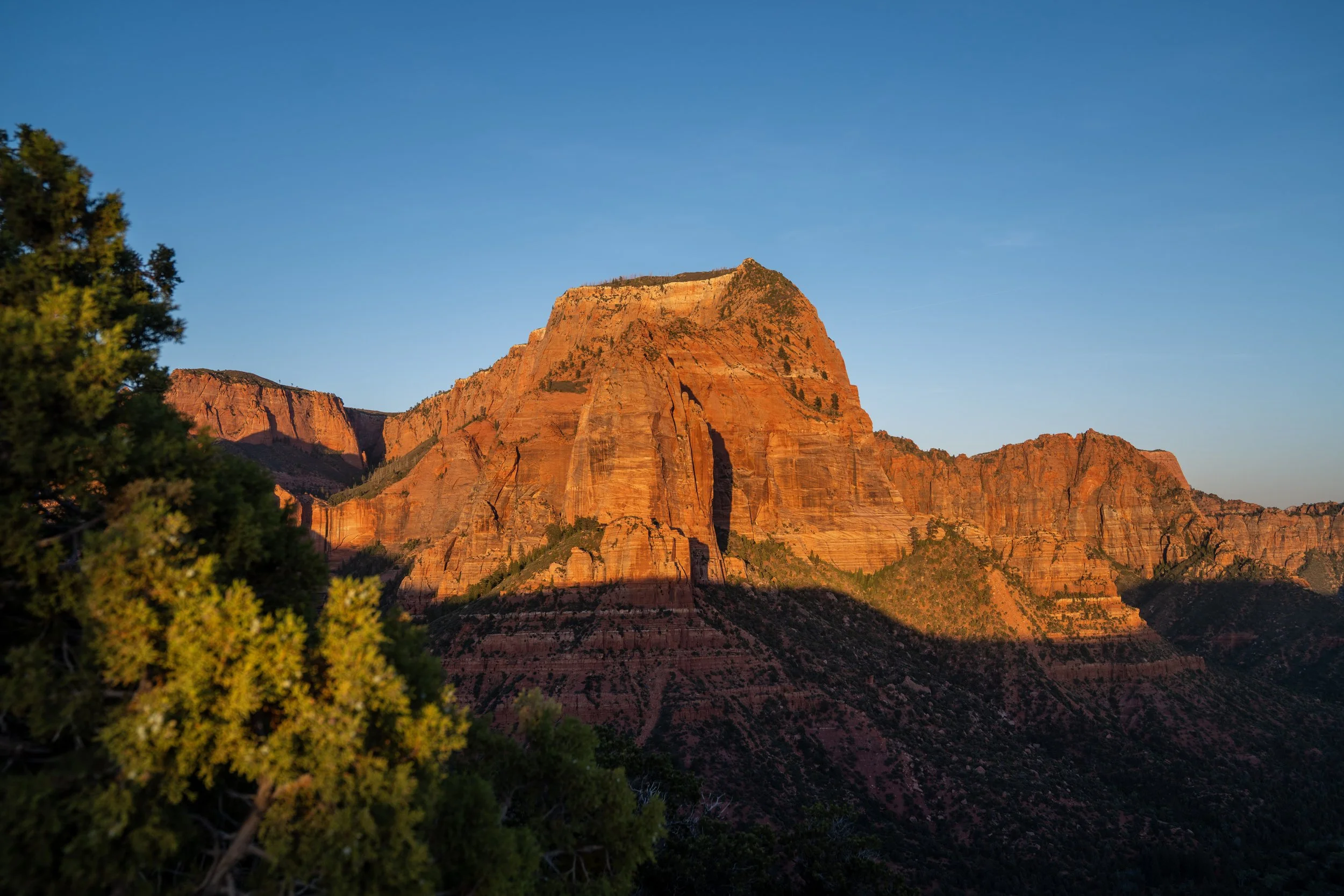
The Grapevine Trail in Zion National Park is a rugged and remote day hike up the Left Fork of North Creek that leads to a beautiful 20-ft. (6 m) waterfall that few who visit Zion ever see!
This is largely because the Grapevine Trail, along with both The Subway and the Right Fork Trail, are all unmaintained trails in the Zion Wilderness, which is intentional and meant to preserve the wilderness as it’s intended to be.
This also means that anyone who sets out on the Grapevine Trail, or any of the trails listed above, should do so with the understanding that you are very much responsible for your own safety. It’s not uncommon to be the only person hiking the Grapevine Trail on any given day of the week, which are all reasons that I don’t believe the hike is meant for all visitors.
On a different note, I have hiked the Grapevine Trail two times, both of which were unsuccessful attempts at reaching Left Fork Falls. On my first hike, I made it down the Grapevine Trail to the river, only to be turned around by a raging flash flood.
Then, three years later, I attempted the Grapevine Trail again—which are the photos in this article—and again didn’t make it because what I thought was Left Fork Falls was not! I came up short and only found out I didn’t quite make it upon seeing photos later.
Either way, this article contains most of the hike, and I will re-hike the Grapevine Trail again someday, as Zion National Park is always a place I see myself visiting time and time again!
Grapevine Trailhead Parking
Parking for the Grapevine Trail is located in a small pulloff directly off Kolob Terrace Road, about 7.3 miles (11.7 km) north of the Kolob Terrace junction near Virgin.
As previously mentioned, it’s not uncommon to be the only car parked at the Grapevine Trailhead, as the Subway Trail is the only popular day hike off Kolob Terrace Road below Lava Point.
Google Maps Directions: Grapevine Trailhead
Hiking Checklist - Zion
Here is a complete list of must-have things that you will want for any hike in Zion National Park.
Hiking the Grapevine Trail to Left Fork Falls
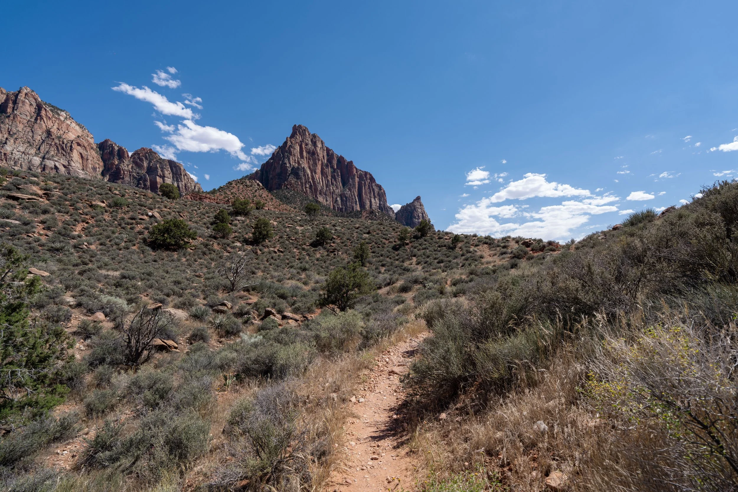
The Grapevine Trail begins on a very flat, easy path, but after just 0.1 miles (0.2 km), the unmaintained trail reaches the edge of the plateau and wilderness boundary, where it begins a very steep and rapid descent to the Left Fork of North Creek below.
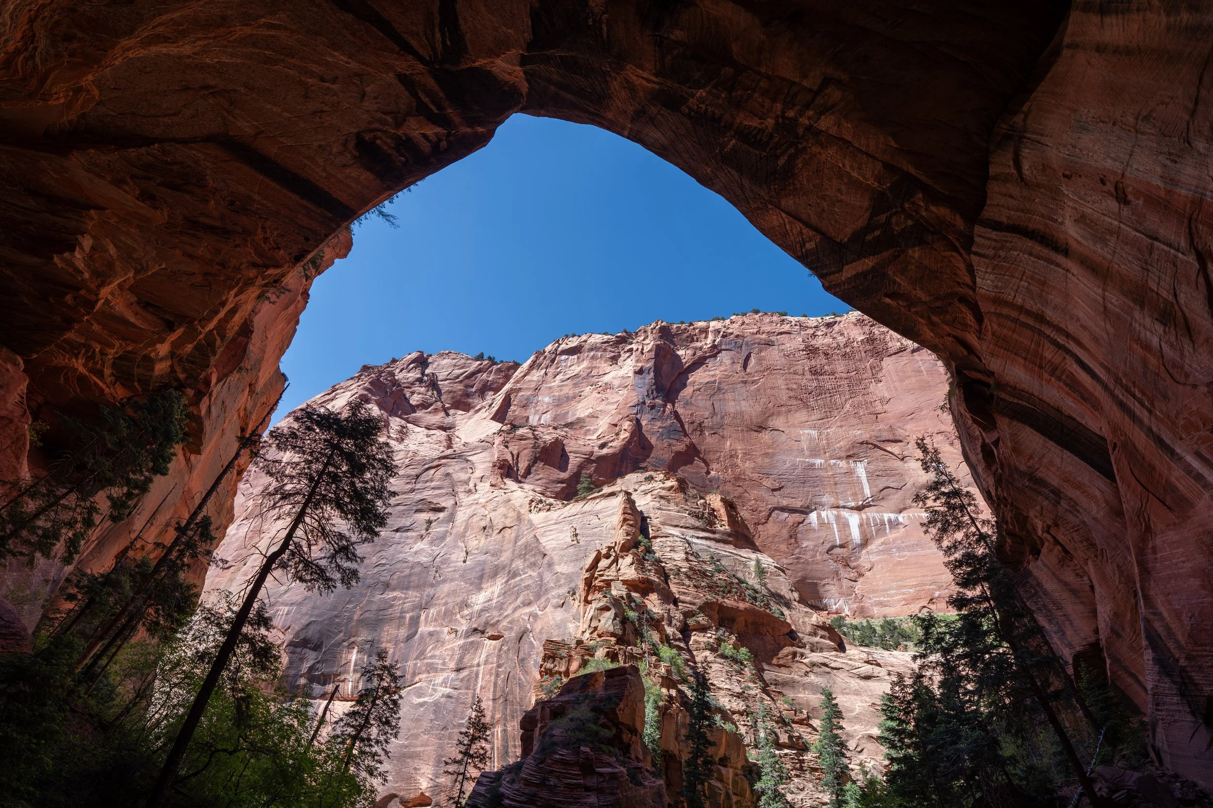
Zion Wilderness Boundary
Almost immediately after the Grapevine Trail starts descending the steep cliffs off Kolob Terrace Road, the trail crosses the Zion Wilderness Boundary, which is exactly why there isn’t a maintained trail below the rim.
The National Park Service does this intentionally to preserve the wilderness character of the canyon environment and because the landscape constantly changes due to floods, rockfall, and erosion.
At the very beginning of the descent, the Grapevine Trail descends what could be counted as four short switchbacks, which are always a nice sight on the steep hike back out!
Since this descent down to the Left Fork is so steep and somewhat slippery, some hikers may want to bring trekking poles, which can be particularly useful when crossing the creek farther up the trail.
After the first few switchbacks near the top of the cliff, the Grapevine Trail begins to head more directly down to the bottom of the canyon.
This is where some of the steepest parts of the trail are located.
This very steep section between Kolob Terrace Road and Left Fork Creek is easily the most challenging section of the entire adventure—especially on the hike out during the hotter summer months.
Grapevine-Right Fork Connector Junction
After 0.3 miles (0.5 km) and a roughly 330-ft. (101 m) descent, the Grapevine Trail reaches the bottom of the canyon and the junction with the Right Fork of North Creek.
Once here, go left on the much more obvious trail to begin hiking up the Left Fork toward Left Fork Falls.
The Grapevine Trail heading up Left Fork Creek starts off very obvious near the Right Fork junction.
However, since the National Park Service does not maintain the trail, the most obvious path changes slightly with every flash flood and every fallen tree.
All that to say, there should always be a somewhat obvious path to follow, which begins above the riverbank before the trail drops down toward the creek a short distance ahead.
This is where the Grapevine Trail drops down the final ledge toward the banks of the Left Fork, as previously mentioned.
In both of my experiences hiking the Grapevine Trail, the unmaintained path was easiest to follow at the beginning, before the canyon turns to the northeast near Grapevine Wash.
When I first hiked down the Grapevine Trail, and the Left Fork was flash flooding, I couldn’t even get this close to the creek, and my hike was cut short not long after reaching the bottom of the canyon.
As with most hikes in Zion National Park, there is very little shade on the Grapevine Trail once the sun reaches the creek at the bottom of the canyon.
This is why I highly recommend hiking in a hooded sun shirt, especially considering that the unmaintained Grapevine Trail will likely take longer than you might anticipate.
Since I did not successfully make it to Left Fork Falls, I cannot confidently confirm this, but this is the only time the Grapevine Trail crosses the Left Fork—at least as far as I’m aware!
Once on the east side of the Left Fork, the Grapevine Trail climbs up and over some very large boulders, eventually leveling out on the far side.
This is where the Grapevine Trail returns to the Left Fork.
This is where the Grapevine Trail starts to turn the corner up the Left Fork, the part of the canyon that turns to the northeast as it approaches Grapevine Wash.
At this section, I recommend staying on the right side of the creek, even though there is the option to cross over to the other side.
I say this because I’ve tried both, and I found it easiest to stay high up on these ledges instead of crossing over.
Grapevine Wash
Unfortunately, this is where I thought I had made it to Left Fork Falls on my second attempt, only to learn I was still about 0.4 miles (0.6 km) away upon hiking out!
I never thought such a basic trail in Zion would take me three tries, but I will be back someday to finish the hike to Left Fork Falls the next chance I get!