Hiking the Kōloa Gulch Trail on Oʻahu, Hawaiʻi
Distance: 12.0 - 14.0 miles / 19.3 - 22.5 km
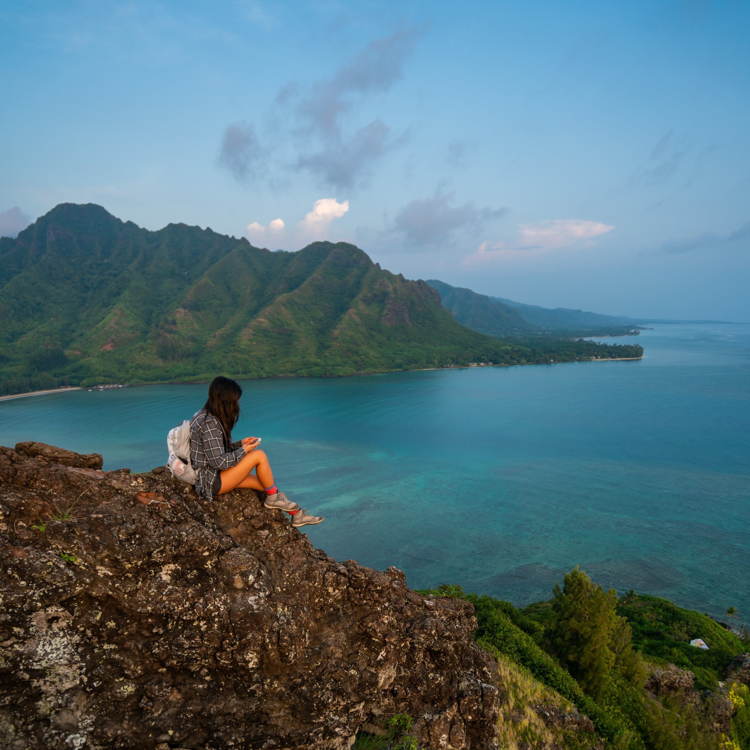
The Kōloa Gulch Trail in Hauʻula, on the North Shore of Oʻahu, is a long, all-day adventure to one of the best waterfalls on the island!
That said, Kōloa Gulch is not a beginner hike, as the trail is a long and tedious trek both up and down the gulch. Therefore, only those with good navigational skills should attempt something this involved.
On a different note, the reason the distance above is variable is because it depends on whether you decide to hike to one or both of the major waterfalls in the gulch. While I’m positive the distance isn’t exactly accurate, it is a very close estimate, and know that the AllTrails for Kōloa Gulch is very incorrect when it comes to the recorded distance—not to mention, AllTrails doesn’t even show the route as far as either waterfall.
Kōloa Gulch Trailhead Parking
Parking for Kōloa Gulch is best at Kokololio Beach Park, but the actual trailhead is located at the very end of Aakahi Gulch Road.
In any case, it’s best to park in the lot furtherest to the north in order to reduce the amount of walking to the trailhead.
Google Maps Directions:Kokololio Beach Park
Getting to the Trailhead
From Kokololio Beach Park, walk north along Kamehameha Highway until you reach Aakahi Gulch Road on the left-hand side.
Aakahi Gulch Road may be unmarked, but this is it in the photo below.
Hiking the Kōloa Falls Trail
The Kōloa Gulch Trail is a bluebird hike only!
By this, I mean that you should NOT hike Kōloa Gulch if there is even a chance of rain in the forecast, even if the rain isn’t supposed to start until the evening.
I can almost guarantee you that Kōloa Gulch will take longer than you anticipate, and this is all to say, start the hike early in the morning.
Whether on your hike in or out, give this memorial a read.
I have seen the grass in the beginning completely cut back or as overgrown as it is here. Either way, there is always a pretty good path to push through it all.
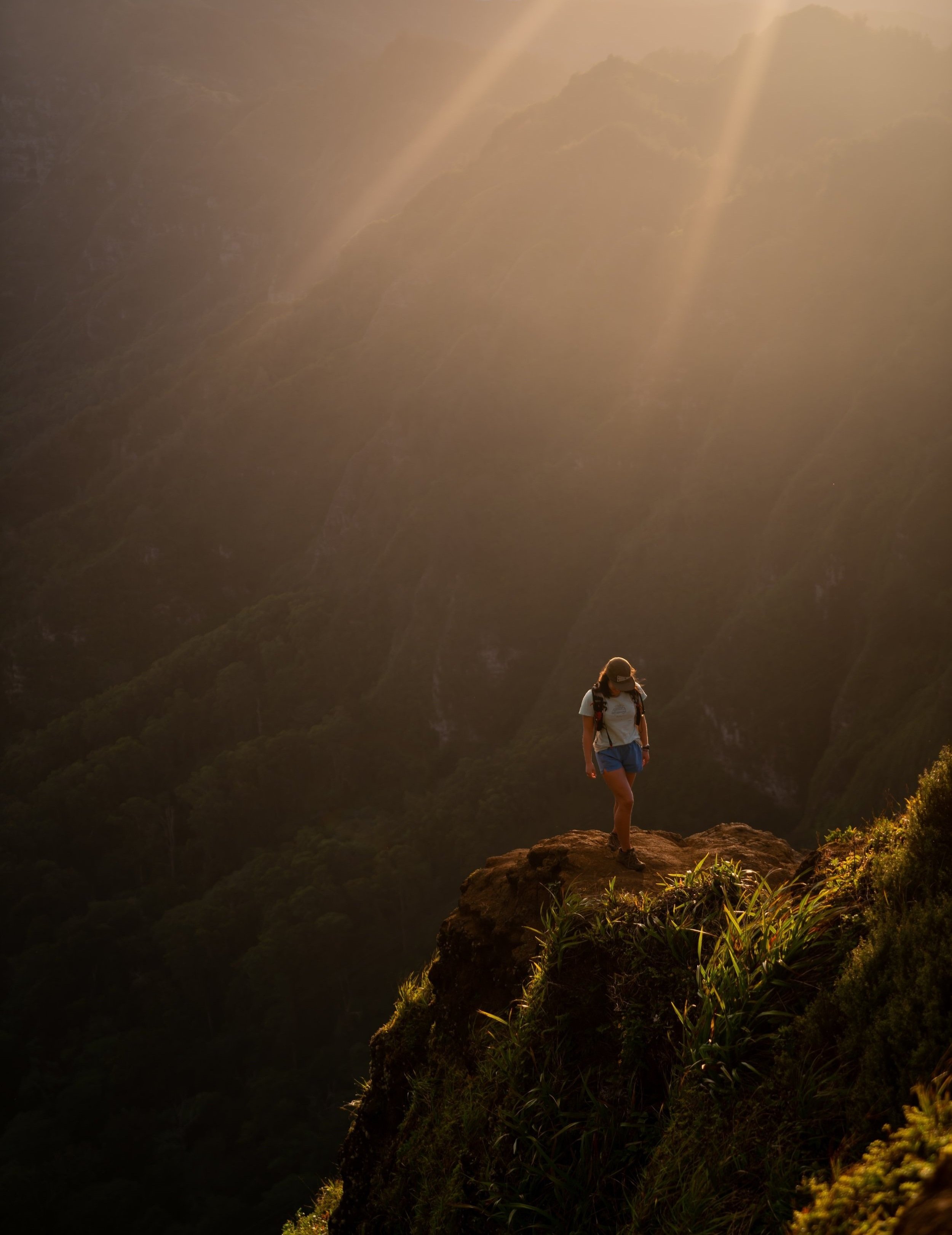
Kōloa Ridge
At only 0.2 miles (0.3 km) from the trailhead, the hike to Kōloa Gulch begins climbing the infamous ridge.
This ridge can be a little annoying because you’ll essentially lose all the elevation you just gained to descend into the gulch. However, the ridge is a far quicker section than the gulch hiking to come.
From the base of the ridge to the gulch junction, the trail will gain between 300-400 ft. (91-122 m) of elevation over the course of 0.7 miles (1.1 km).
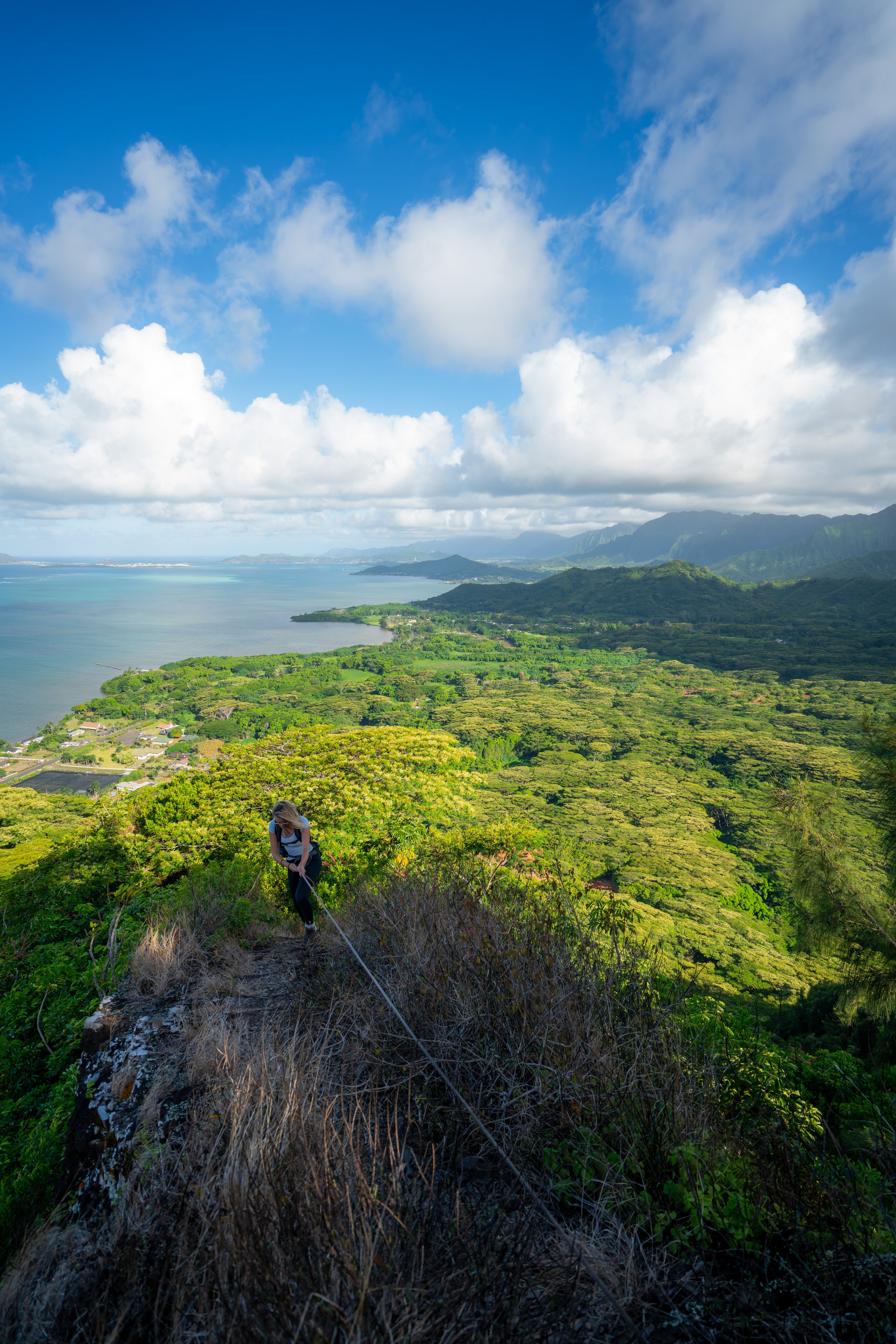
Kōloa-Kaipapaʻu Gulch Junction
After about 1 mile (1.6 km) from the trailhead, the ridge splits with the trail that leads down into Kōloa Stream, as well as the trail that loops around to the Kaipapaʻu Pillboxes.
This section loses about 200 ft. (61 m) from the ridge to the stream, which will obviously have to be regained on the way back out.
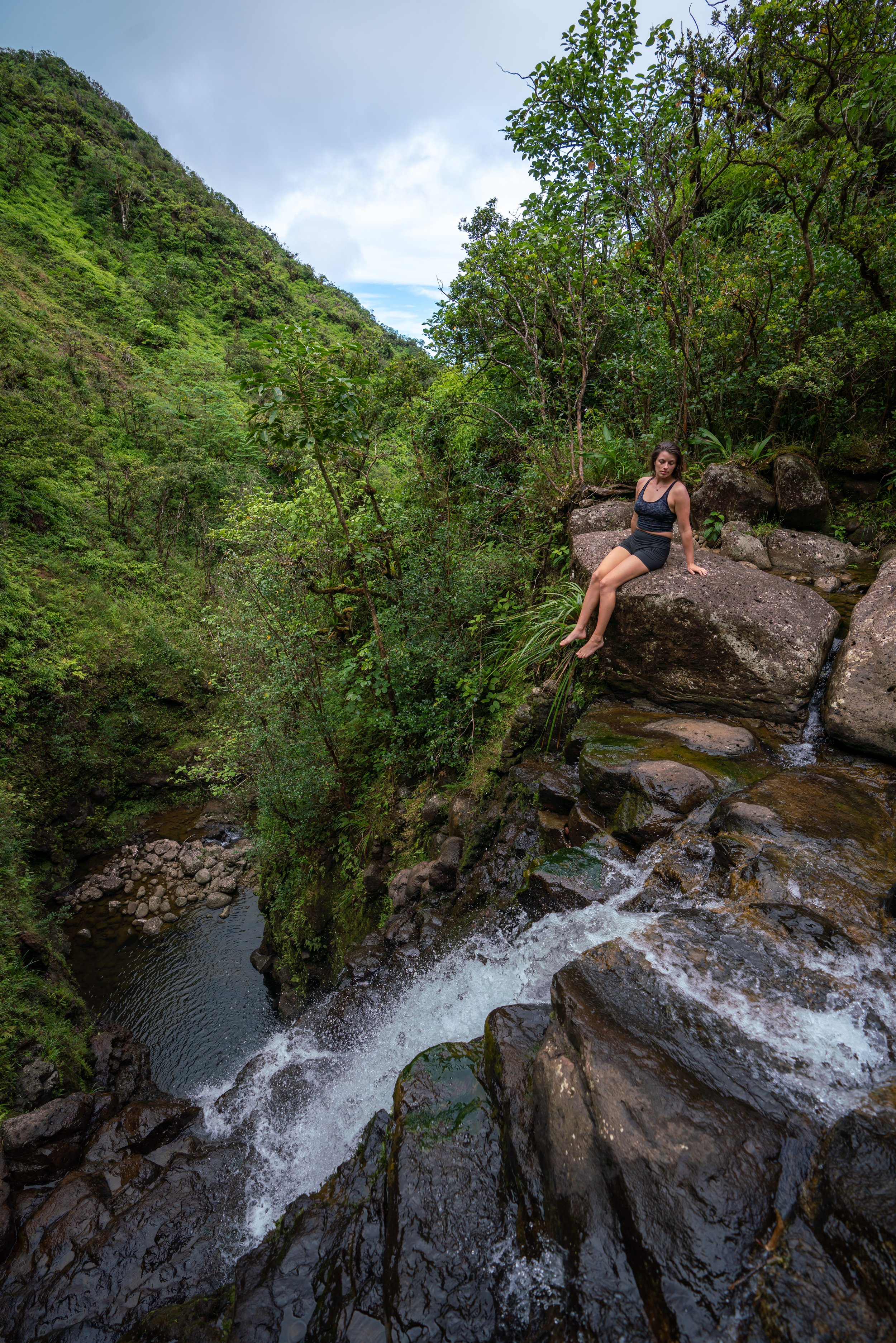
Kōloa Stream
In my opinion, when trail meets the stream, the real hiking begins.
Know that Kōloa Stream may not be flowing this far down, but that doesn’t mean it’s not flowing further up the gulch. That said, if you hike up the gulch a few miles and still aren’t seeing any water flowing, it may be better to come back on another day. However, the island would have to be extremely dry for this to be the case.
Warning
From this point on, the consequences associated with a flash flood only get greater and greater the further you hike up Kōloa Stream.
I am speaking from experience, where myself, two friends, and a few other hikers became stranded on an embankment high up a neighboring gulch on Oʻahu because the stream flash flooded as we were leaving.
Fortunately, we were all able to escape in the dark because I noticed the water level was receding, so we decided to go for it. That was a long hike out as we waded through waste-high water at every stream crossing, and I generally had to help everyone across because I was the tallest.
Moreover, as the walls of any gulch close in, there is generally less places to escape the stream if it were to flash flood. This also means that it takes less water to flood any high points along the stream, as opposed to down here at the beginning of the hike.
This is all to say, hike on sunny days only when there isn’t any rain in the forecast. Unfortunately, this is exactly what we did when we got stranded, meaning there must have some heavy pocket of rain higher up in the mountains.
Additionally, there is no cell phone service down in the gulch. Make sure you have someone that knows where you are before beginning the hike, so that you can check back in after making it out safely.
When you cross the stream for the first time, make sure to turn back around so that you remember what the trail heading back up to the ridge looks like.
It can be easy to miss if there aren’t any ribbons on the trees.
From the beginning of the gulch to the Kōloa Confluence further upstream, the trail will cross the stream countless times.
As I’m sure it will become apparent, hiking along the side of the stream is almost always faster than hiking in it.
I also recognize that these photos won’t do much in terms of showing important crossings or turns. That’s why, the best advice I can give is to look for ribbons, and if you’re ever in doubt walk in the stream until you see the next trail on the side.
While the trail may not look like much of a trail in many of these photos, there is generally a good enough path to follow if you’re able to find it.
Also, if you’re ever in the stream and following an embankment on either side, there will more than likely be a trail to find up there if you just cut 90 degrees away from the stream and hike through the plants until you hit a trail.
It’s almost as if you don’t take the same paths heading up and down the gulch because the point where one trail on the side crosses over the stream always feels staggered from where you’re supposed to pick it up again on the far side. However, if more people were to frequent Kōloa Gulch, the trail would surely be easier to follow.
My best guess is that this is an old Heiau, but in either case, it makes for a nice mental checkpoint when you’re on your way back out.
While some of these sections can look a bit overgrown, they’re generally pretty easy to walk right through, as they are mostly just ferns and ginger.
Warning
As if Kōloa Gulch needs a second warning, but as the walls of the gulch close in, the risk associated with rockfall also increases.
Good weather is not only essential for safety in the stream, but debris more frequently comes down during periods of wet weather.
This is all to say that you’re really on borrowed time when hiking in any Hawaiʻi gulch. I don’t say all of this to discourage anyone from enjoying this beautiful hike. However, the dangers are very real, and I want to make that clear.
I have seen rockfall, I have experienced flash floods, and I have personally lost a friend to a flash flood on a different Hawaiʻi gulch hike. Seriously, make good decisions!
It was a little difficult to get a good picture of, but at a certain point up the gulch, there is a larger than normal rock right in the middle of the stream, which is exactly what we were navigating around in the photo below.
Like the Heiau, it’s one of the few distinguishable landmarks on the entire trail.
Just prior to the confluence there will be one more trail up the left side of the stream.
Personally, I think this helps to know because a lot of the gulch can start to look the same, so if you happen to be on the right side of the stream, then at least you know you’re not quite at the confluence yet.
Kōloa Stream Confluence
The Kōloa confluence is where both the north and south fork of Kōloa Steam come together.
As I’m sure you can guess, this is also where the Kōloa Gulch Trail splits for either the north or south waterfall.
Typically, the north fork of the gulch is the more commonly hiked route and is generally considered the main Kōloa Falls, as it’s the easier of the two forks to hike.
Warning
I think it’s worth noting the dangers of a flash flood again.
Not only are there significantly fewer places to escape the stream, if at all, past the confluence, but Kōloa Gulch is exceptionally dangerous downstream of the confluence because two separate drainages converging essentially means twice the amount of water flooding down the gulch if it were ever to happen.
North Fork of the Kōloa Stream
The north fork is the stream to the right side of the confluence, and as previously mentioned, it is the easier and shorter of the two waterfalls to reach.
Without getting into specifics, there are a number of rare plants up these higher sections of the gulch, and I kindly ask that you do your part to minimize your impact.
Don’t disturb anything that you can’t positively identify.
Just before falls is a medium-sized pool that requires swimming through and climbing up the left side to reach Kōloa Falls.
I typically choose to leave my shoes behind at this point because I think climbing up barefoot is much easier. That said, there’s no guarantee that the rope will be there, and I encourage you to bring your own. For someone that’s good at climbing in these conditions, I’d say it’s not too difficult, but a rope definitely helps!
Finally, know that there’s no way around this swim, so if you want to bring phones, cameras, a towel, or food up to the falls, I encourage you to hike with a couple of dry bags, if not one of these backpack options.
Kōloa Falls
As I’m sure you can see why, Kōloa Gulch is one of my favorite hikes for so many reasons! Even on weekends, I’ve almost exclusively has the waterfall to myself because so few people make the long trek to get here.
While the pool at the base of the falls is safe to swim, I caution against jumping off this same rock. I know for sure that debris has fallen around it, so always check the area before jumping.
South Fork of the Kōloa Stream
While the north and the south fork of Kōloa can be hiked in the same day, I can tell you that it ends up being a pretty long day!
I’ve done both in a day once, and because the south fork takes a bit longer than the north, the whole hike ends up being a sunrise-to-sunset kind of hike—especially if you want to spend any time at either waterfall.
While I may update the south fork with more photos in the future, I’m sure you get a pretty good idea of what to expect.
This maneuver that my friend is doing can be a bit tricky, but it’s essential in order to make it up to the waterfall. It’s basically a narrow slippery ledge to navigate past, and when we hiked it, there was no rope.
Overall, it’s the longer distance and this slow section that make it more difficult, but if you choose to hike it, the south fork of Kōloa has a much bigger waterfall than the north!
Native Plants on the Kōloa Gulch Trail
While the majority of the trail is covered in non-native/ invasive species, there is still a number of natives that you can find along the hike.
Some more common native plants that I noticed were ʻUhaloa, Hau, Hala, Pāpala Kēpau (Bird Catcher Tree), Māmaki, ʻAkolea, and ʻĒkaha, to truly only name a few.
If you are curious about trying the native Hawaiian Māmaki tea, I kindly ask that you don’t harvest Māmaki from our native forests but, instead, buy from one of the local reputable vendors, such as those listed below.
If you would like to know more about how to identify these and countless others from across the Hawaiian Islands, I encourage you to read more in my separate post, dedicated entirely to native Hawaiian plants.
Read My Separate Post: Native Hawaiian Plant Guide